Exploring the flat roads and countryside of Michalovce.
Cycling routes from Michalovce
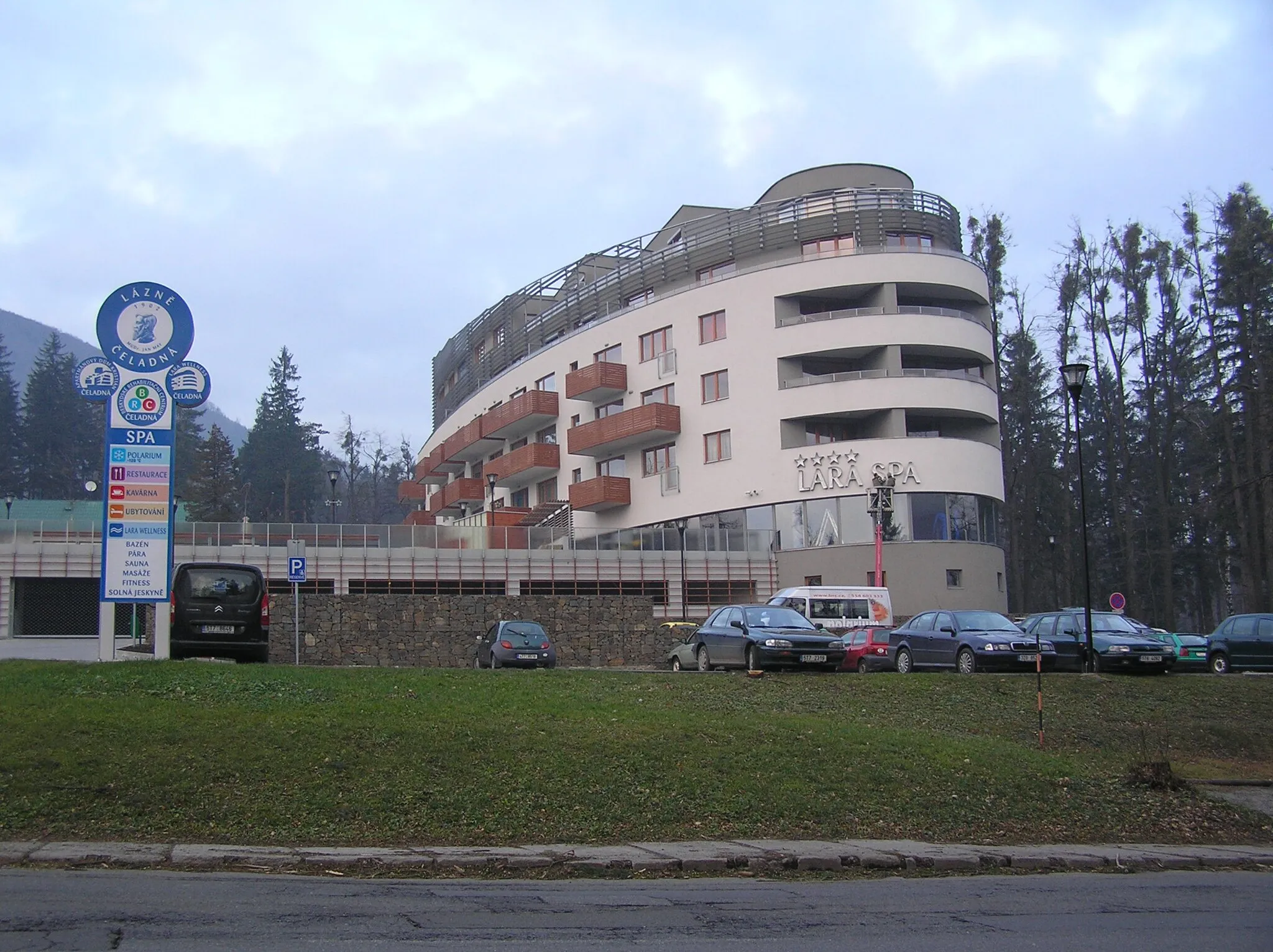
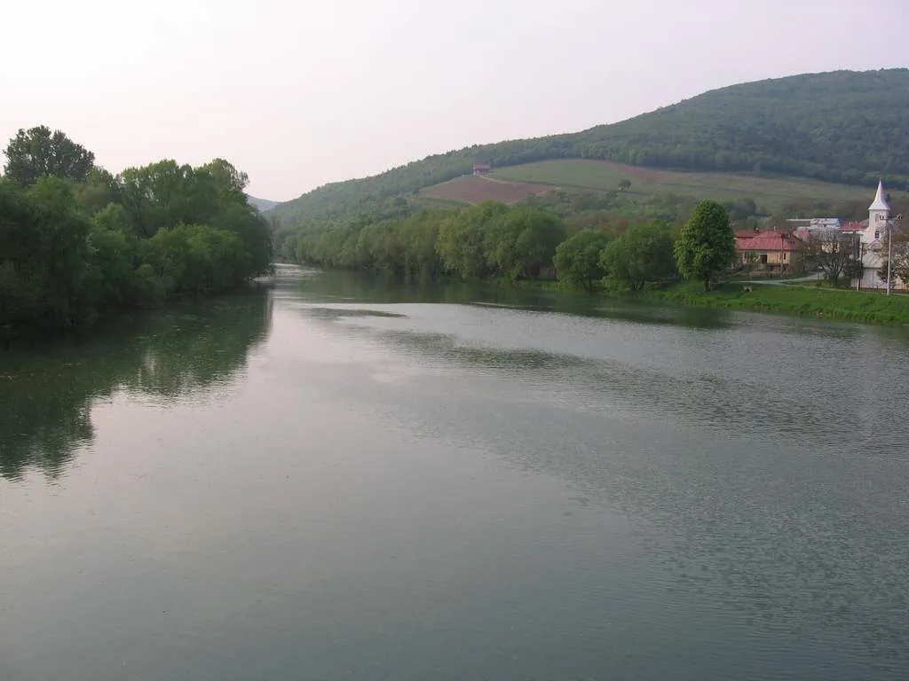
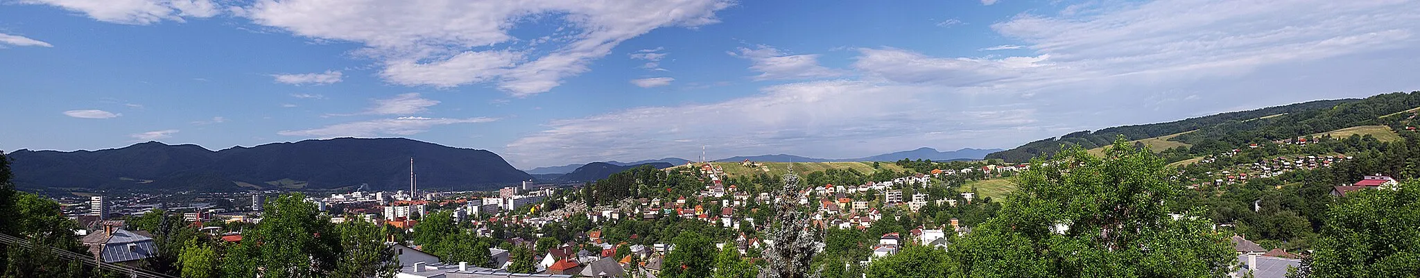
Michalovce is a town situated in the Eastern Slovakia region. It offers a mix of urban and rural landscapes, making it an interesting destination for road and gravel cyclists. The area surrounding Michalovce is known for its flat roads and countryside scenery, making it suitable for both leisurely rides and intense training sessions. With its charming town center and nearby nature reserves, Michalovce is a great place to explore on two wheels.

Embark on an epic road cycling adventure through stunning landscapes and visit multiple interesting locations near Michalovce.
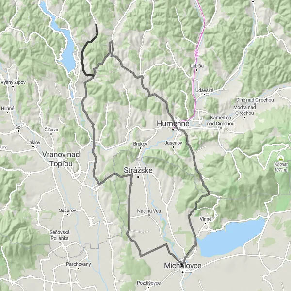
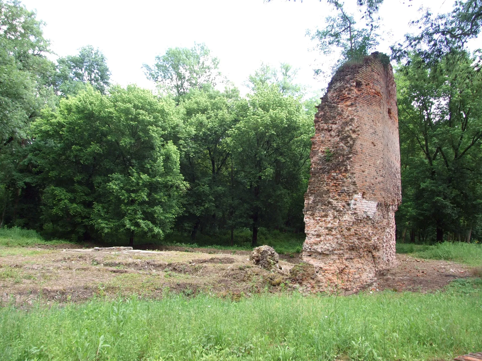
This road route takes you through a diverse range of landscapes, from charming towns to beautiful countryside. Starting in Michalovce, you'll cycle through Hrádok, a picturesque village with stunning views of the Tatra Mountains. The route then takes you through Strážske, where you can visit the open-air museum and explore the region's folk culture. Klokočiny offers a unique experience with its medieval castle ruins and beautiful nature trails. Humenné, known for its rich history and cultural heritage, is another highlight on this route. From Sokol to Vinné, you'll pass through scenic vineyards, where you can stop by local wineries and indulge in wine tasting. The route concludes in Stráňany, a charming village with traditional wooden houses and a vibrant community spirit.
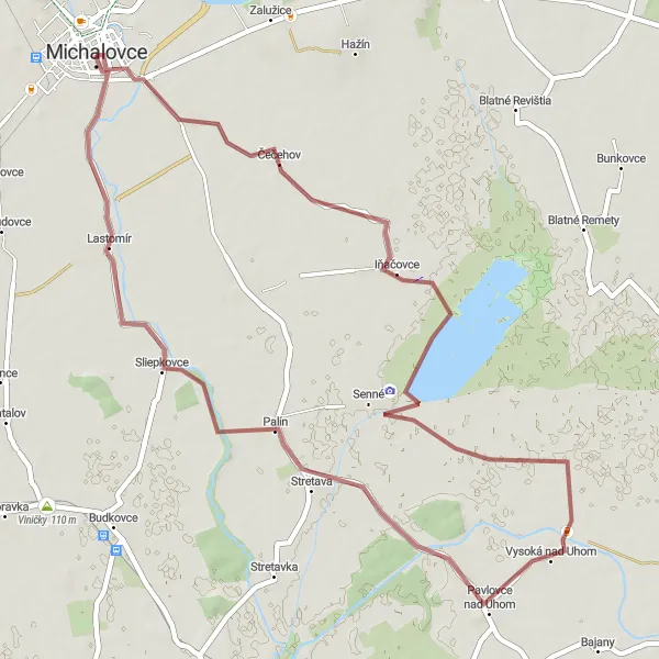
Discover the rural beauty of Pavlovce nad Uhom to Lastomír cycling route
Experience the rustic charm of the countryside on this gravel cycling circuit from Pavlovce nad Uhom to Lastomír. With a distance of 52 kilometers and a mild ascent of 19 meters, this route offers a leisurely and enjoyable cycle through picturesque landscapes. Immerse yourself in the tranquil surroundings as you pedal through idyllic villages and rural farmland.
The Priekopa Gravel Adventure
Embark on an exciting gravel adventure with scenic views
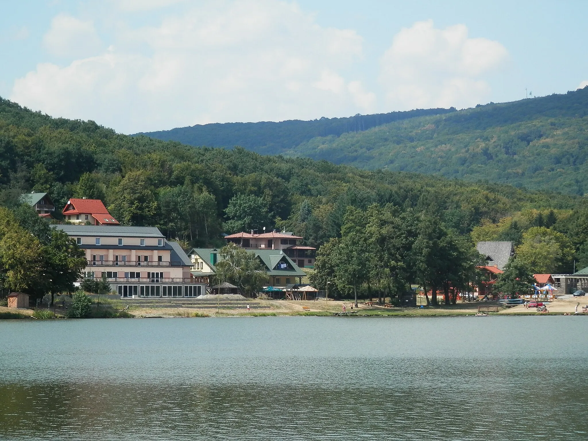
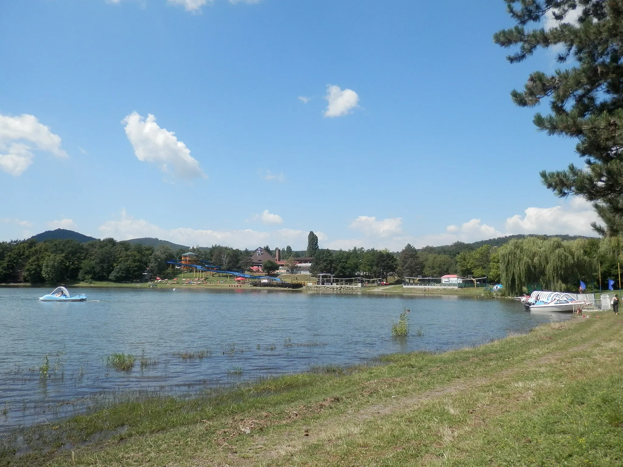
This round-trip cycling route near Michalovce offers an 80 km gravel adventure with a total ascent of 507 m. Experience breathtaking landscapes as you ride through picturesque villages and enjoy the tranquility of nature. Discover hidden gems such as Priekopa, a charming village located 29 km into the route.

Embark on an exciting gravel adventure from Michalovce to Chlmec
Discover the rugged beauty of Eastern Slovakia on this exciting gravel cycling route from Michalovce to Chlmec. Covering a distance of 55 kilometers with an ascent of 507 meters, this off-road journey will take you through diverse landscapes and picturesque villages. Enjoy the thrill of gravel riding while marveling at the scenic beauty of the region. Prepare for a moderate yet exhilarating cycling experience.
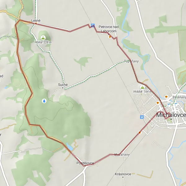
Cycle through picturesque villages and enjoy the scenic countryside of Východné Slovensko.
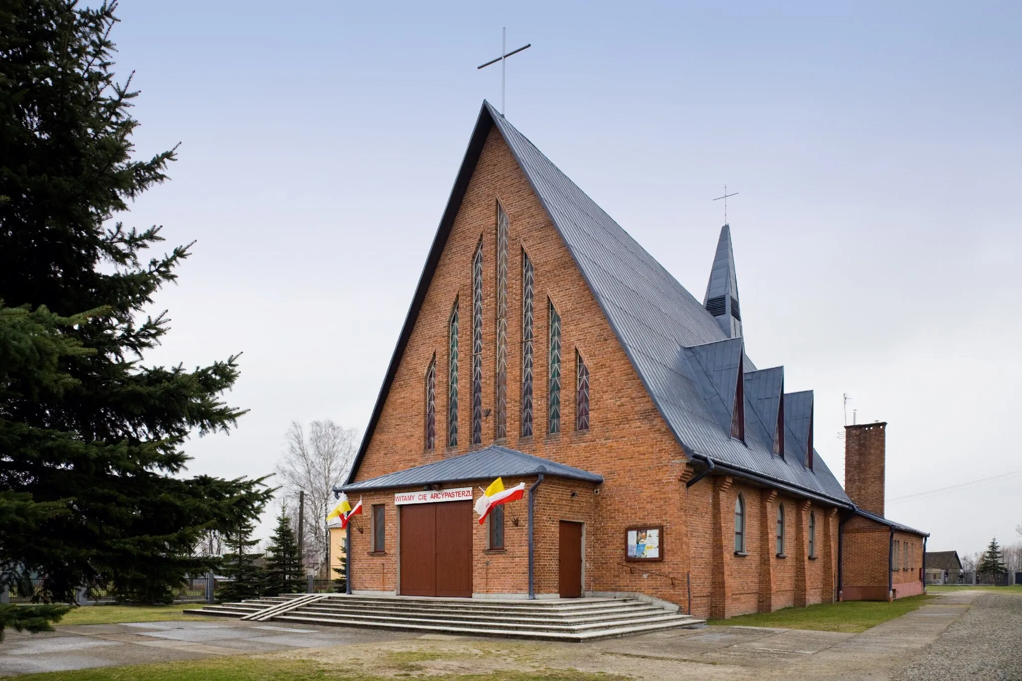
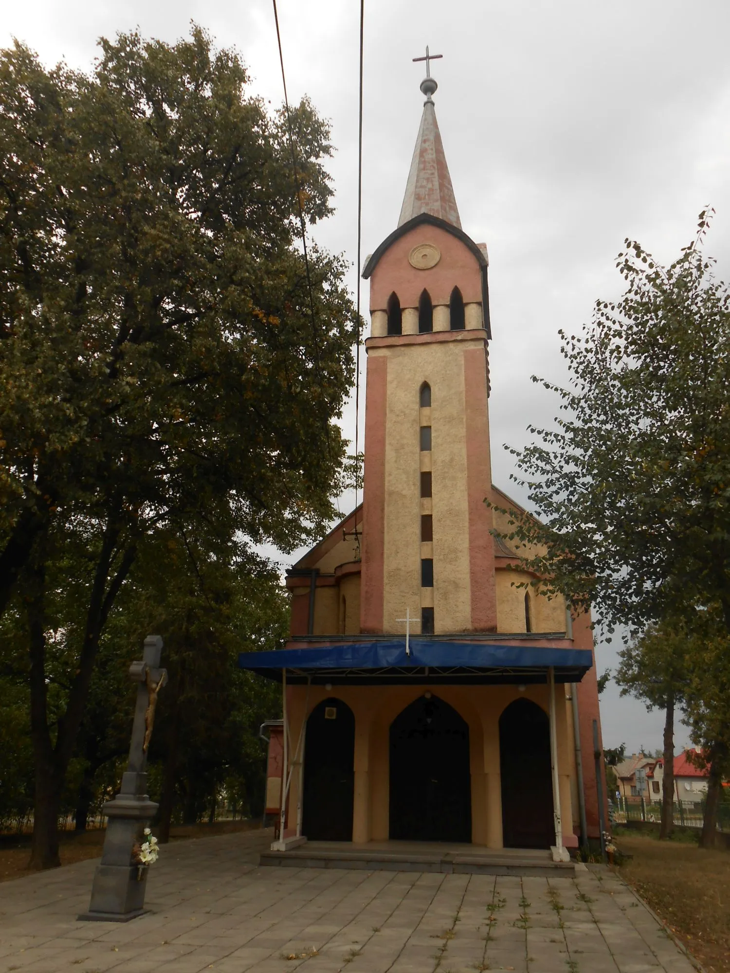
This gravel route takes you through several charming villages near Michalovce, providing a picturesque cycling experience. Starting in Michalovce, you'll pass through Pozdišovce, known for its beautiful traditional architecture. The route continues to Hôrka, where you can enjoy panoramic views of the rolling hills. Next, you'll cycle through Petrovce nad Laborcom, a quaint village famous for its historic wooden churches. Finally, you'll return to Michalovce, where you can explore the town's cultural heritage and sample local delicacies. With a moderate ascent and a distance of 29 kilometers, this route is suitable for all levels of cyclists.
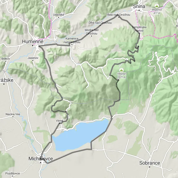
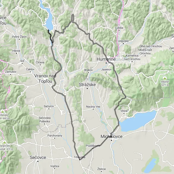
Explore the picturesque route from Michalovce to Zemplínske Hámre
Embark on a scenic cycling adventure from Michalovce to Zemplínske Hámre, covering a distance of 94 kilometers with a total ascent of 1165 meters. This road route offers breathtaking views and takes you through charming villages and picturesque landscapes. Prepare yourself for a challenging yet rewarding cycling experience.

Experience the beauty of Eastern Slovakia on this scenic road cycling route.
This road route showcases the stunning natural landscapes and historic landmarks of Eastern Slovakia. Starting in Michalovce, you'll cycle through Hrádok, offering panoramic views of the Tatra Mountains. The route continues to Voľa, a small village known for its tranquility and picturesque setting. Brekov, another highlight on the route, features a medieval castle overlooking the surrounding countryside. As you ride from Sokol to Vinné, you'll pass through rolling vineyards, famous for their quality wines. The final stop is Stráňany, where you can admire traditional wooden houses and experience the charm of rural Slovakia.
Conquer the Červený Kameň challenge and enjoy breathtaking landscapes
Embark on an exhilarating 114 km road cycling challenge near Michalovce, with a total ascent of 864 m. This route takes you through picturesque landscapes, from rolling hills to iconic landmarks. Starting in Michalovce, experience the thrill of conquering the Červený Kameň challenge and be rewarded with panoramic views along the way.
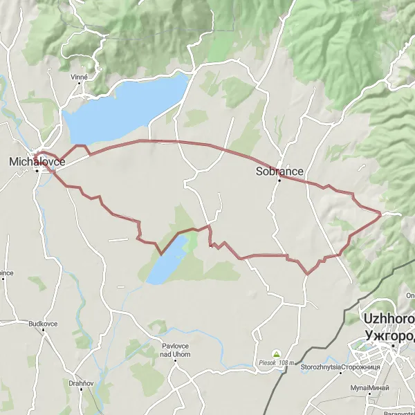
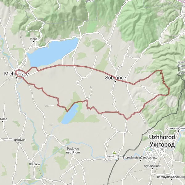
Embark on a gravel expedition through Sobrance
Experience the excitement of a 70 km gravel expedition near Michalovce, with a total ascent of 206 m. This route takes you through diverse landscapes, from rural farmlands to forest paths. Sobrance, located 22 km into the route, offers a glimpse into traditional Slovak village life.
Conquer the challenging roads and reach new heights
Embark on a thrilling 112 km road challenge near Michalovce, with a total ascent of 916 m. This route takes you through diverse landscapes, from hilly terrains to picturesque villages. Starting from Michalovce, enjoy the exhilarating experience and be rewarded with panoramic views throughout the journey.
Cycling routes nearby:
Nearby regions: