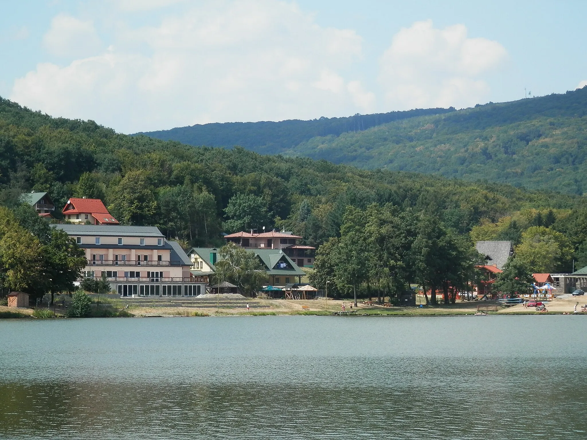
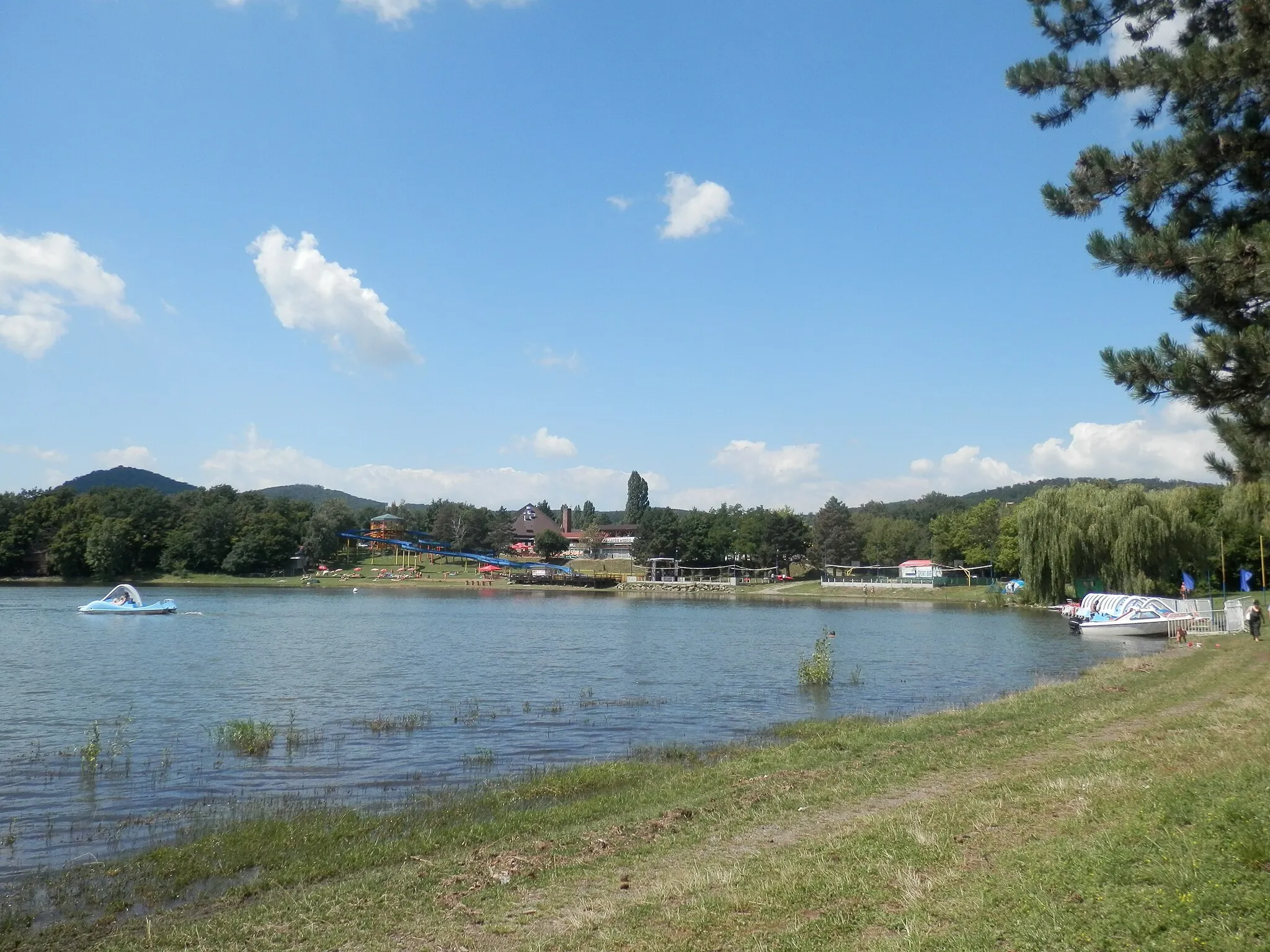
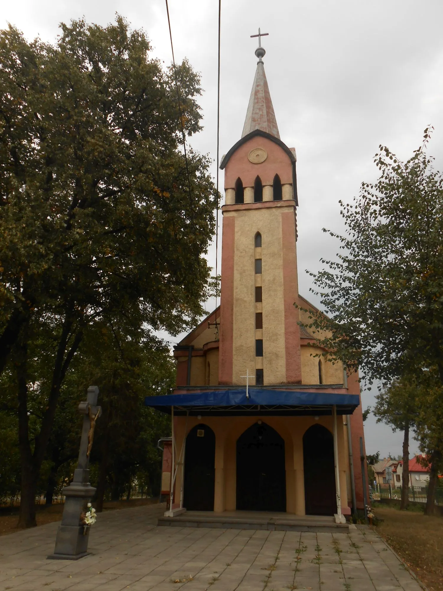
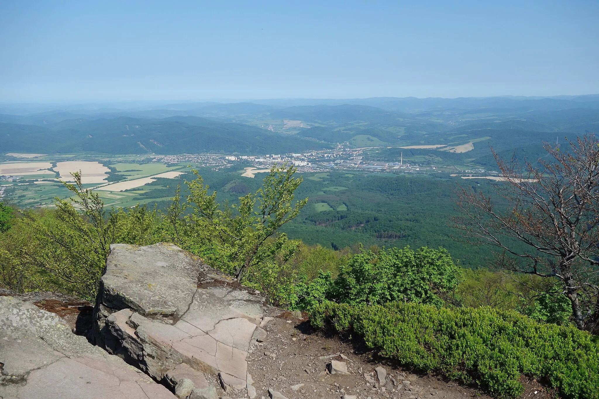
Exploring Humenné's cultural heritage and enjoying the scenic trails of Vihorlat Mountains National Park.
Cycling routes from Humenne
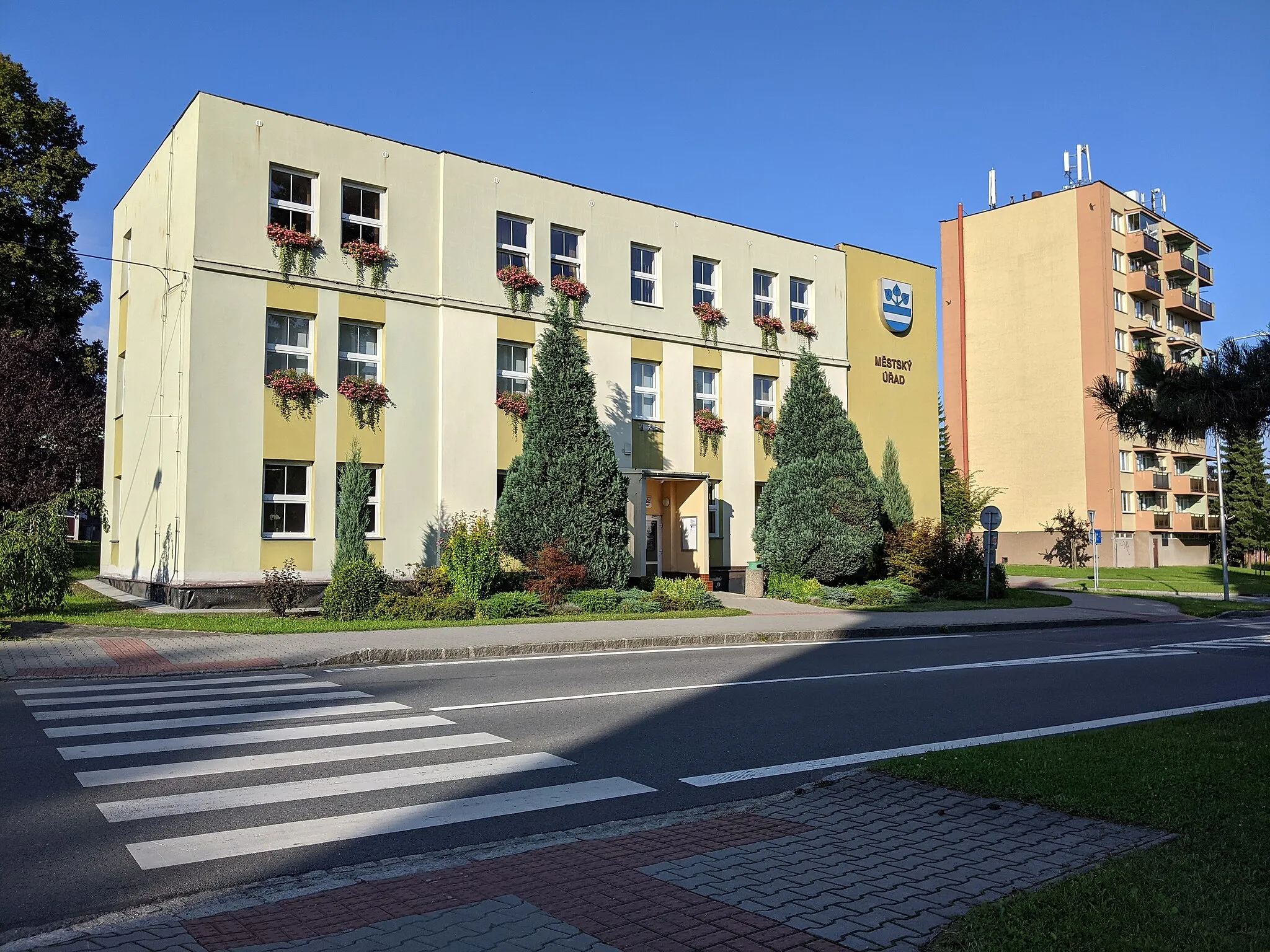
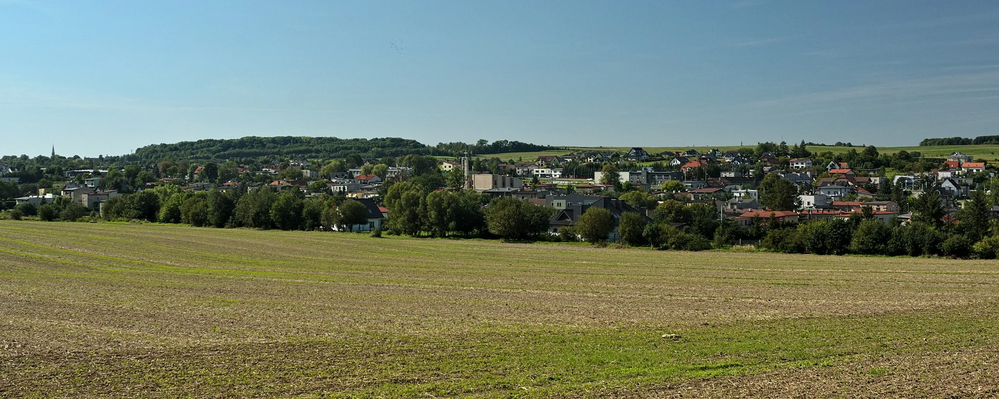
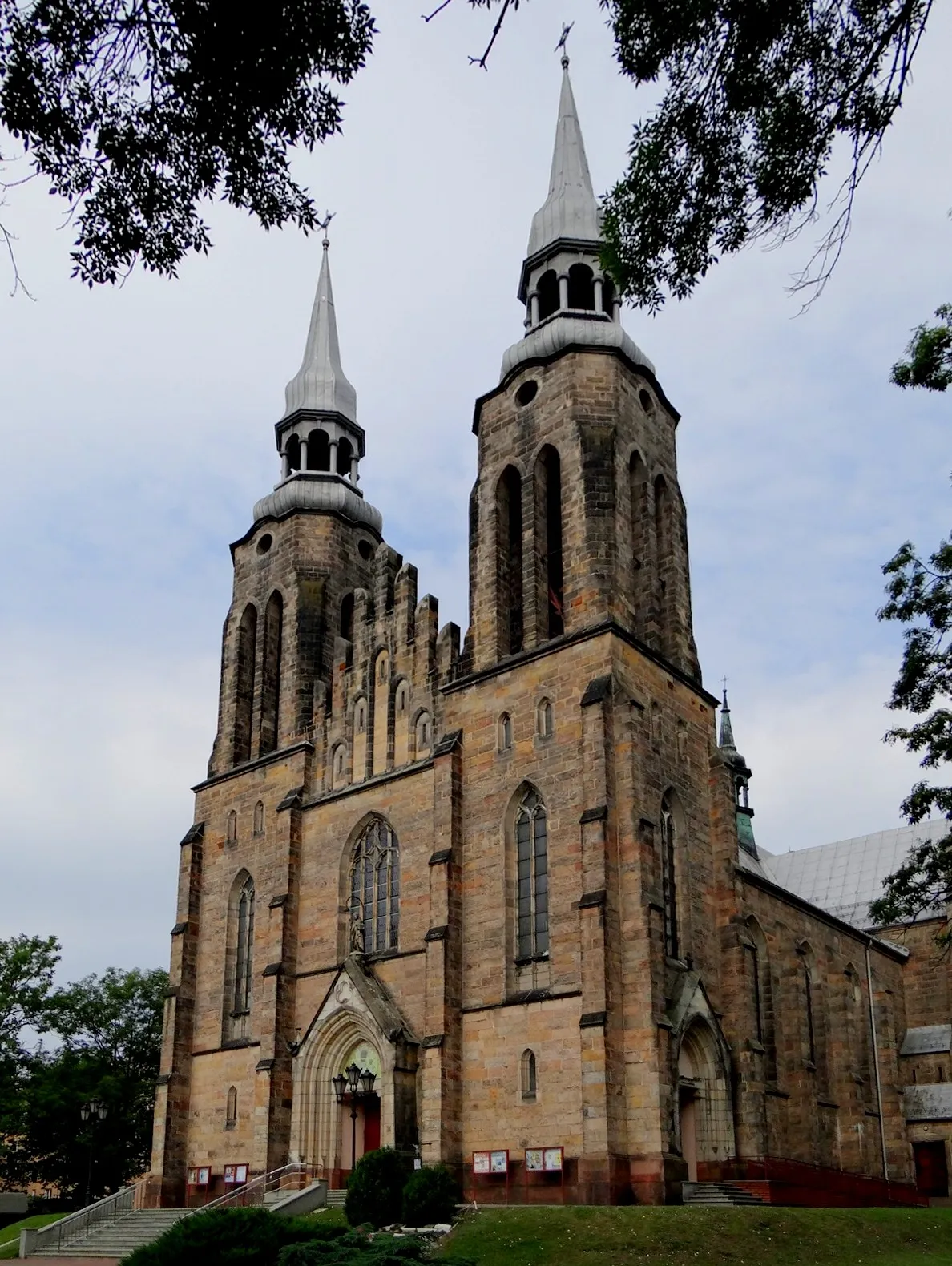
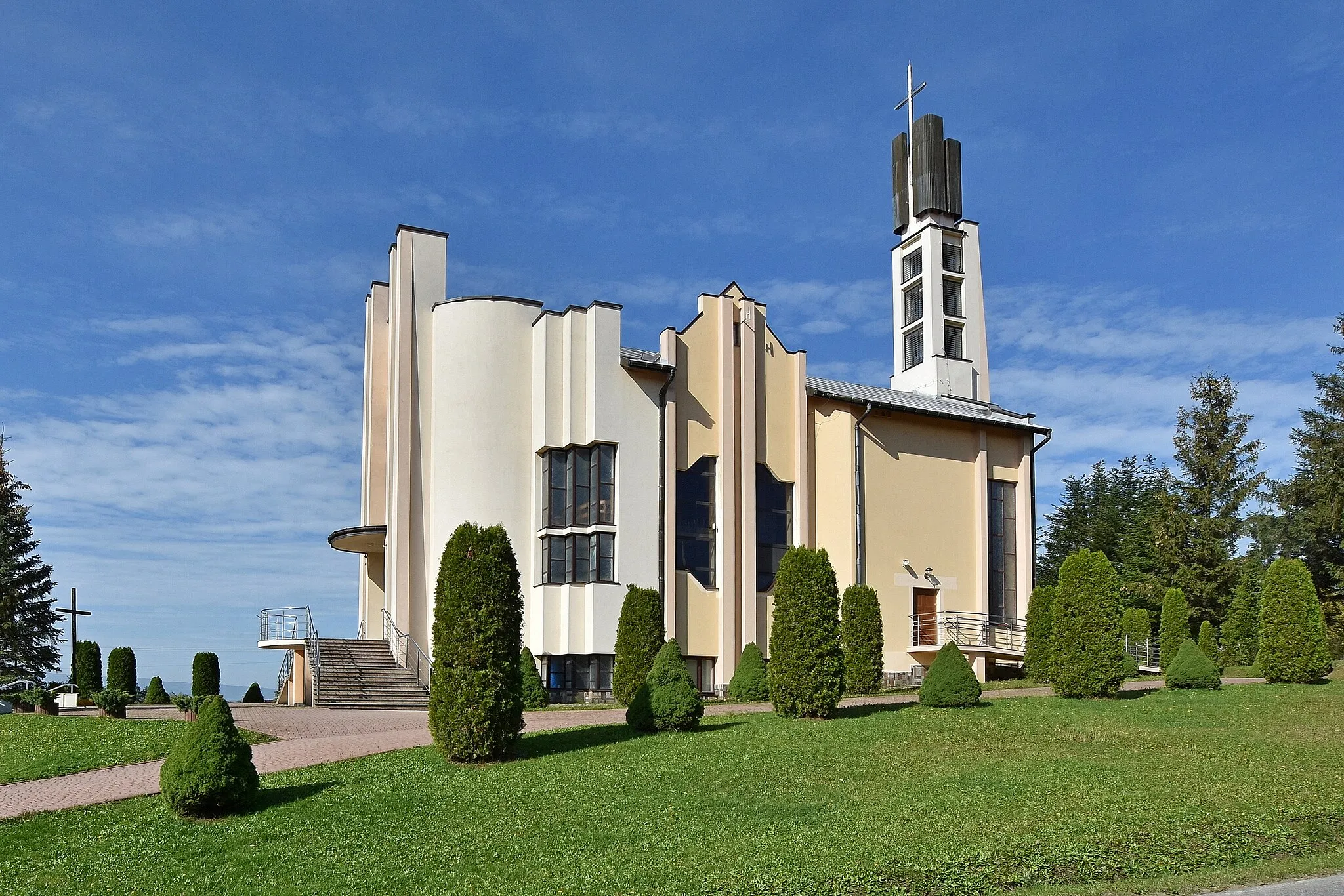
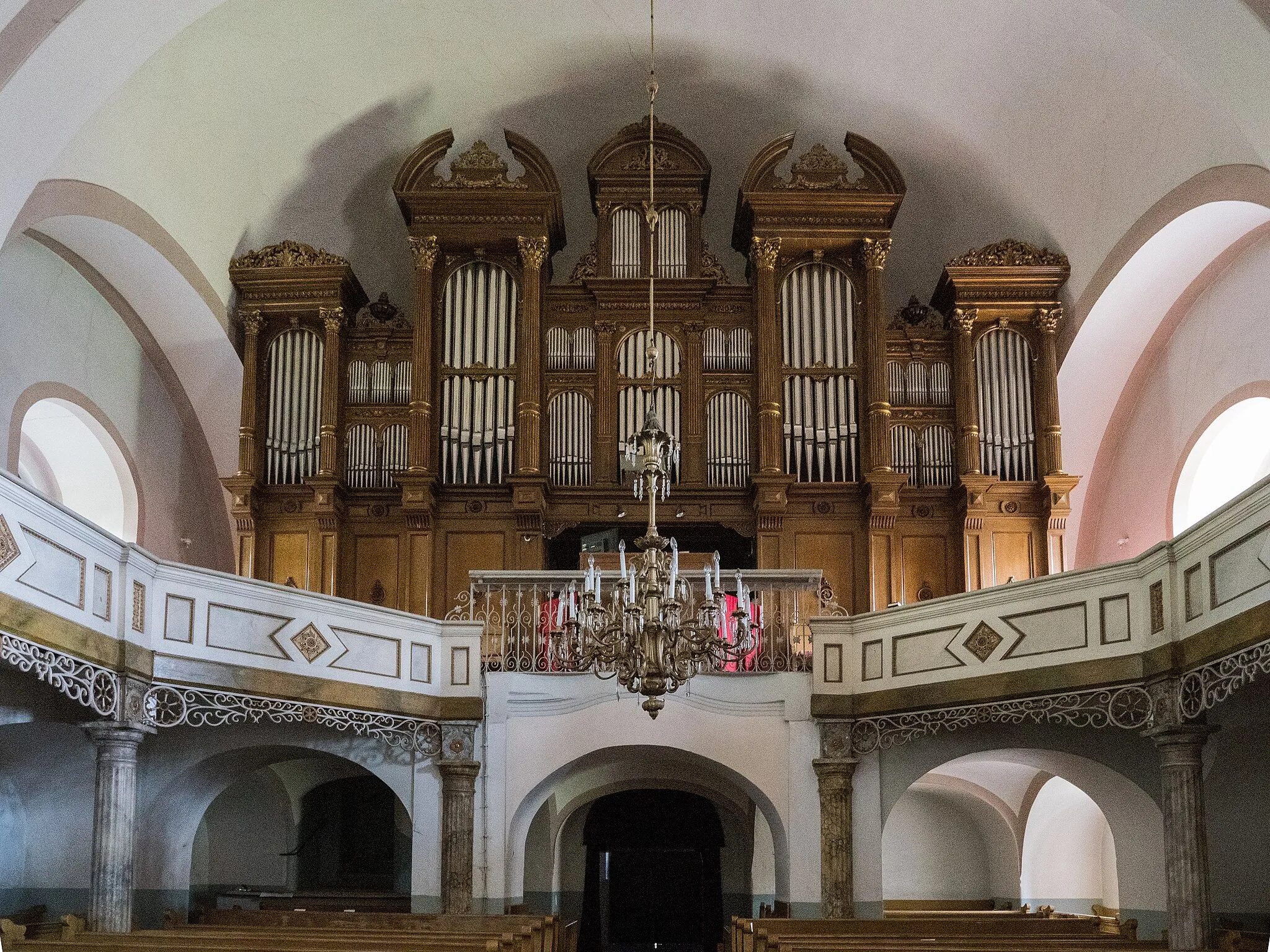
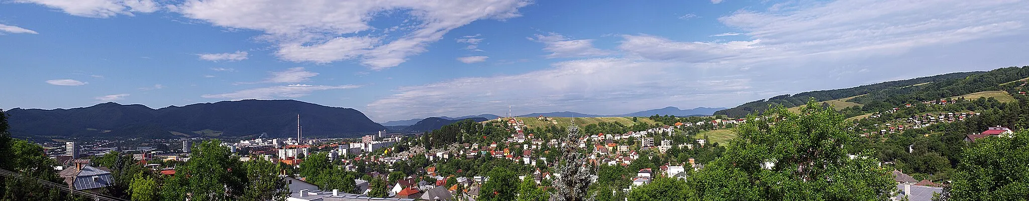
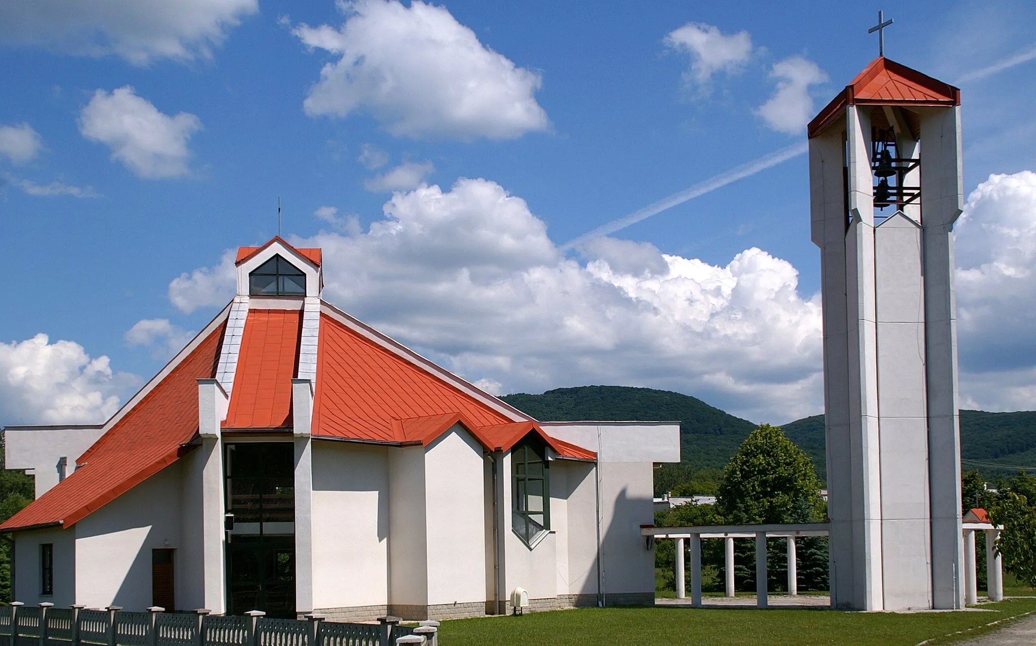
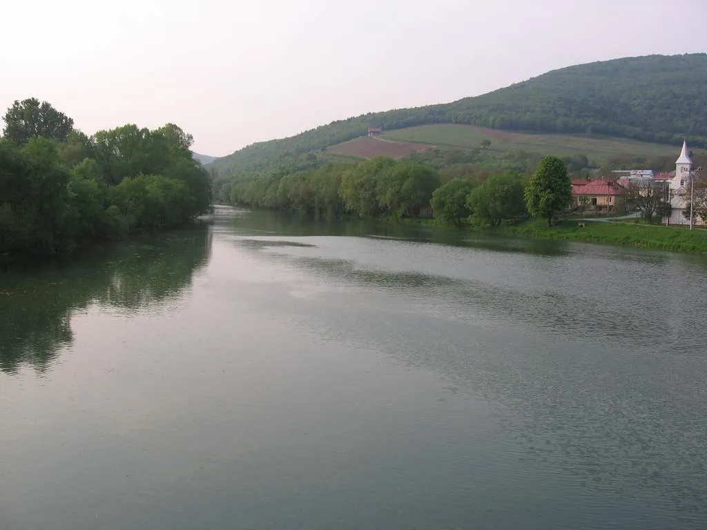
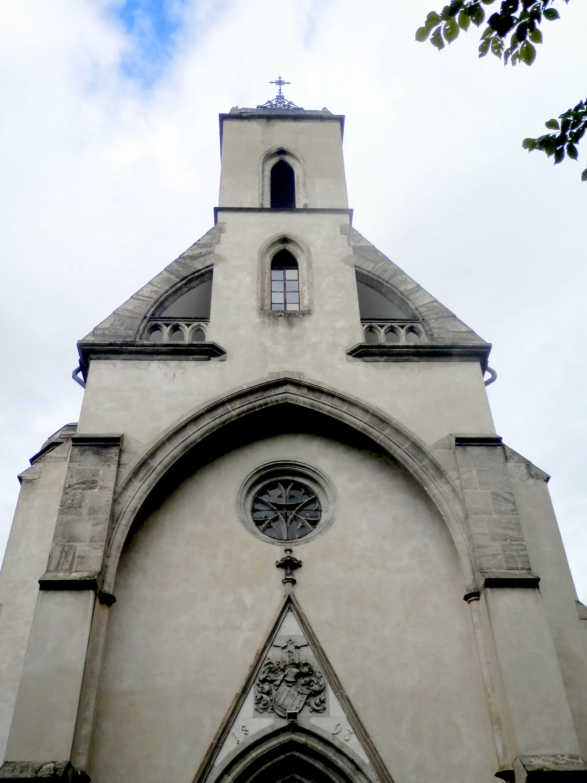
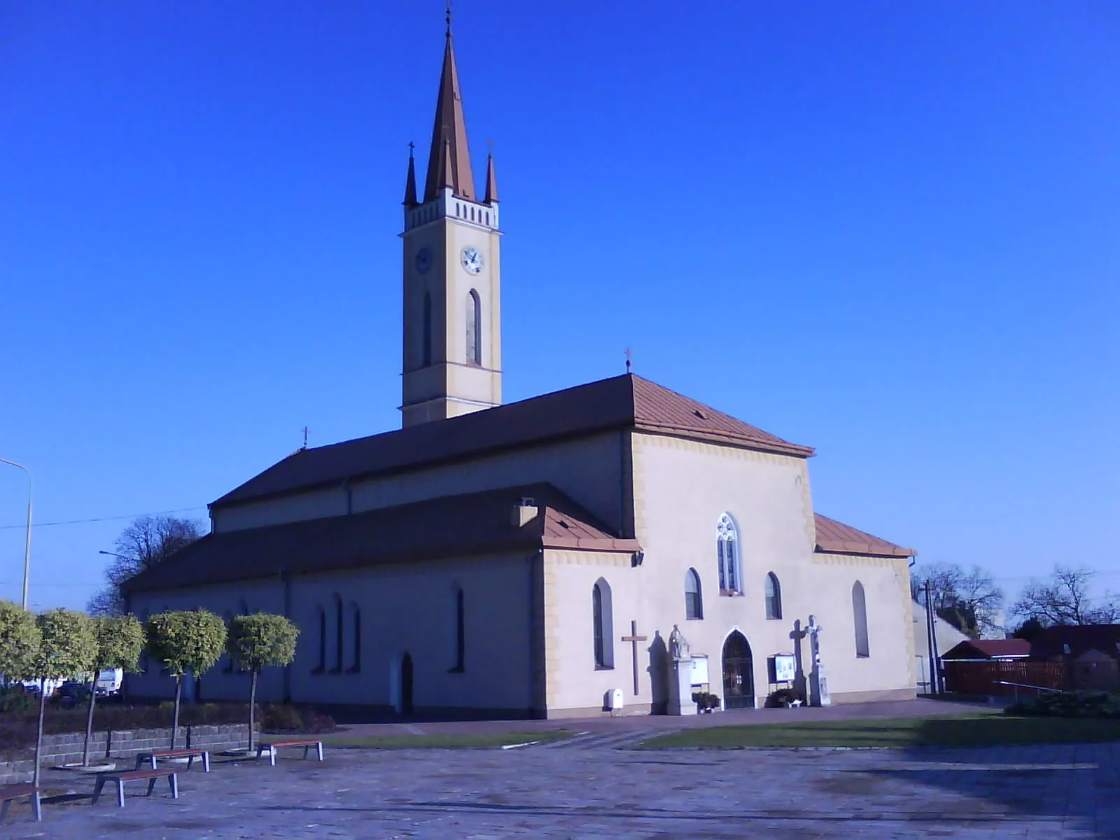
Humenné is a locality situated in the Eastern Slovakia region. It offers diverse cycling routes suitable for both road and gravel cyclists, with its rolling hills and picturesque landscapes. The town is known for its cultural heritage, including Luke the Evangelist Church and the Vihorlat Observatory. Nearby, you can find Vihorlat Mountains National Park, which offers scenic trails for mountain biking. With its combination of cultural attractions and natural beauty, Humenné is a great destination for cyclists.
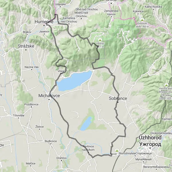
Embark on a challenging road cycling loop offering scenic beauty near Humenné
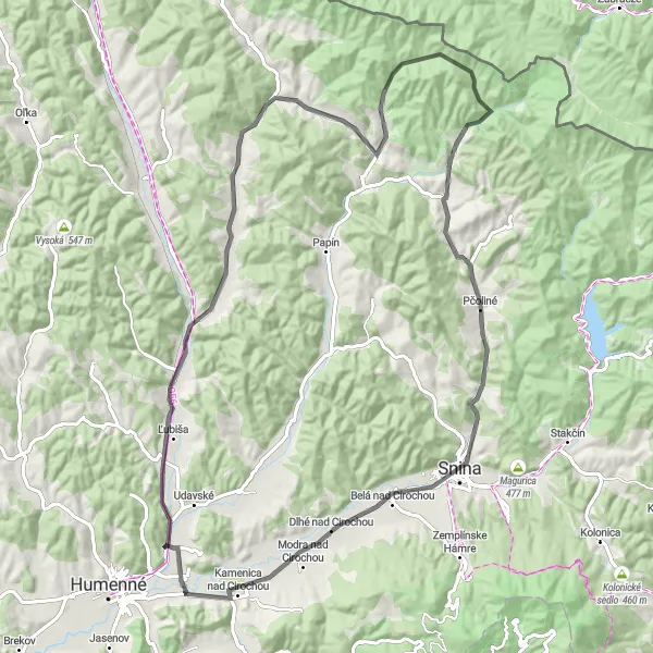
This road cycling loop near Humenné offers a challenging yet rewarding experience with stunning scenic beauty. Spanning a distance of 124 kilometers and featuring an elevation gain of 1066 meters, this route is perfect for experienced cyclists seeking a thrilling adventure. Highlights along the route include Ostré, a fascinating area located 3 kilometers into the ride, and Dielik, a scenic spot located 26 kilometers into the route. Explore Jovsa, a picturesque village located 28 kilometers into the ride, and appreciate its tranquil atmosphere. cycle through Bajany, an idyllic settlement located 67 kilometers into the route, and savor its natural beauty. Take a moment to visit Marečková, a charming area located 103 kilometers into the ride, and enjoy its scenic surroundings. Finally, finish the route in Humenné, a delightful town known for its historical heritage and cultural attractions. With its challenging terrain and breathtaking landscapes, this road cycling loop promises a memorable journey.
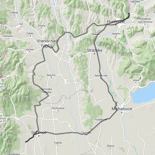
Embark on a captivating road cycling adventure through the charming countryside near Humenné
This road cycling route near Humenné offers a captivating journey through the idyllic countryside. Spanning a distance of 116 kilometers and featuring an elevation gain of 501 meters, this route provides cyclists with diverse landscapes and cultural highlights. Discover Hubková, a serene village located just 1 kilometer into the ride, and appreciate its tranquil beauty. Explore Petrovce nad Laborcom, a picturesque town located 23 kilometers into the route, and immerse yourself in its rich history. Marvel at Vranov nad Topľou, a vibrant city located 87 kilometers into the route, and explore its charming streets. With its scenic beauty and cultural attractions, this road route promises an unforgettable cycling experience.
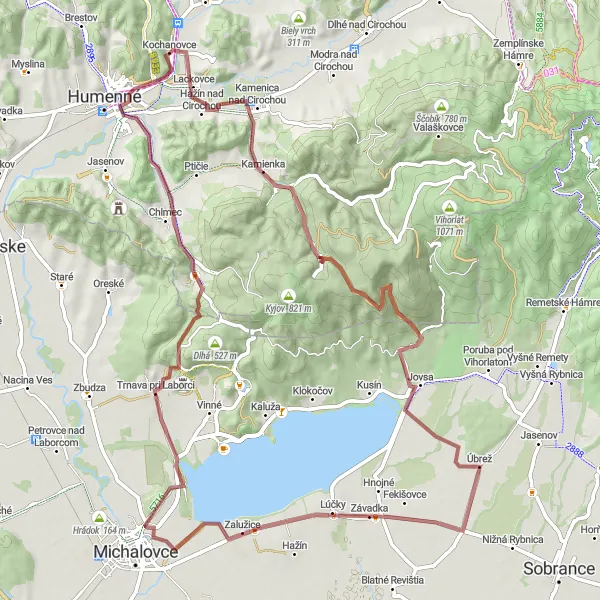
Explore breathtaking natural wonders and immerse yourself in traditional Slovak culture on this gravel route.
Embark on a gravel cycling adventure through the natural wonders and traditional villages of Východné Slovensko. Admire the scenic landscapes as you cycle a total distance of 79 kilometers with an ascent of 1007 meters. Highlights along the way include Hažín nad Cirochou, a picturesque spot with stunning views, Diel, known for its traditional architecture, Dielik with its beautiful landscapes, Jovsa surrounded by lush greenery, Zalužice offering a peaceful escape, Hôrka, a mountain with panoramic vistas, Chlmec with its charming rural setting, and Sokol, where traditional Slovak culture thrives.
Nature and Views
Embark on a gravel cycling adventure through stunning landscapes and enjoy breathtaking views.
Immerse yourself in the natural beauty of Východné Slovensko as you cycle through mountains and valleys on this gravel route. With a total distance of 76 kilometers and an ascent of 303 meters, it is suitable for well-trained amateurs seeking a more relaxed ride. Highlights along the way include Jasenov, which offers stunning panoramic views, Výhľad na juh where you can admire the southern landscape, Dielnica with its picturesque setting, and Hora, a mountain with expansive vistas. Other highlights include Diľ, Dlhé Klčovo, Sačurov, and Tovarné.
Scenic Road Cycling
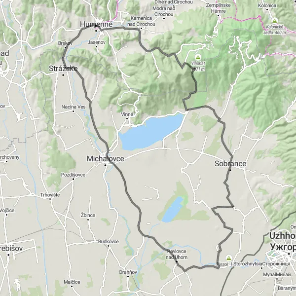
Embark on a scenic road cycling journey through picturesque towns and charming landscapes.
Experience the beauty of Východné Slovensko on this road cycling route that takes you through charming towns and scenic landscapes. With a total distance of 122 kilometers and an ascent of 750 meters, this route offers a moderate challenge for well-trained amateurs. Start your journey in Humenné and pass through Ostré, a village known for its traditional architecture. Other highlights include Dielik, Sobrance, Zemplínska Široká with its rolling hills, Michalovce, Klokočiny, and Brekov. Enjoy the picturesque views and immerse yourself in the rich culture of Eastern Slovakia.
Road Route Eastern Slovakia
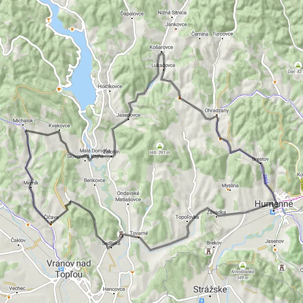
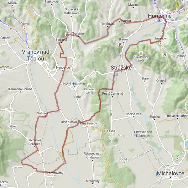
A thrilling road cycling route through the scenic landscapes of Eastern Slovakia
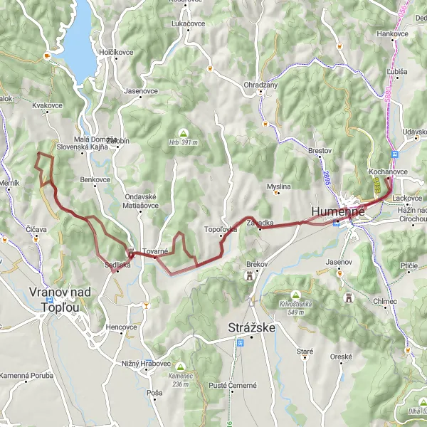
This road cycling route in Eastern Slovakia offers a thrilling experience amidst picturesque landscapes. Covering a distance of 70 km with an ascent of 555 meters, it is suitable for intermediate to advanced cyclists. The route includes highlights such as Hora, a stunning mountain offering breathtaking views, and Tovarné, a charming village dotted with traditional houses. Merník, a small town with a rich historical heritage, also lies along the route. Krajná hora, a majestic hilltop featuring lush forests, captures the imagination of any cyclist. Finally, Potoky allows cyclists to enjoy the tranquility of the countryside with its scenic rural surroundings.
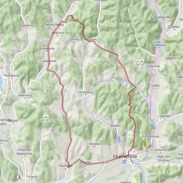
Embark on a thrilling gravel adventure to the heart of Humenné
This gravel route takes cyclists on a thrilling adventure to the heart of Humenné. Spanning a distance of 50 kilometers and featuring an elevation gain of 824 meters, this route offers a unique off-road experience with stunning views. Highlights along the route include Závadka, a picturesque village located 4 kilometers into the ride, and Hora, a magnificent hill located 6 kilometers into the route. Māae a stop at Sosnina, a peaceful area located 13 kilometers into the route, and soak in its serene atmosphere. Cycle through Čierna hora, a beautiful spot located 34 kilometers into the ride, and appreciate its scenic beauty. Finally, visit the impressive Kaštieľ v Humennom, a charming castle located 50 kilometers into the route. With its distinctive features and captivating scenery, this gravel adventure promises an unforgettable cycling experience.
Gravel Route Eastern Slovakia
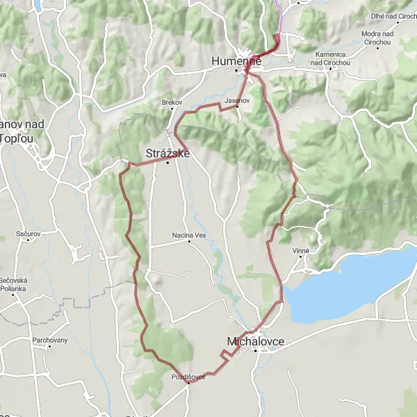
An adventure-packed gravel cycling route in Eastern Slovakia
This gravel route in Eastern Slovakia offers a thrilling cycling adventure with a scenic landscape. With a total distance of 74 km and an ascent of 718 meters, it is suitable for experienced cyclists seeking an off-road challenge. The route passes through several highlights, including the village of Sokol, known for its charming traditional houses, and Porúbka, a picturesque spot surrounded by forests. Michalovce, a vibrant town with historical landmarks, also lies along the route. Other highlights include Pozdišovce, known for its vibrant cultural scene, the peaceful village of Strážske, and the idyllic rural landscape of Hubková.
Rural Exploration
Venture into the rural landscapes of Východné Slovensko on this scenic road cycling route.
Discover the rural beauty and charming villages of Východné Slovensko on this scenic road cycling route. With a total distance of 87 kilometers and an ascent of 741 meters, this route offers a moderate challenge for well-trained amateurs. Highlights along the way include Ľubiša with its picturesque setting, Baková known for its traditional architecture, Svetlice surrounded by rolling hills, Ščob offering a tranquil ambience, Gmyszów Wierch with its stunning vistas, Osadné where you can experience the local culture, Prípek with its beautiful landscapes, Snina, Hažín nad Cirochou, Ostré, and Stratená.
Embark on an exciting gravel adventure in the picturesque countryside near Humenné
This gravel route near Humenné offers a thrilling adventure through the beautiful countryside of eastern Slovakia. With a total distance of 62 kilometers and an elevation gain of 687 meters, cyclists can enjoy stunning views and challenging terrain. The route encompasses various highlights such as Závadka, a charming village located 9 kilometers into the ride, and Hora, a majestic hill located 11 kilometers into the ride. With its distinctive features and unique off-road experience, this gravel route is perfect for cycling enthusiasts seeking an exhilarating journey in nature.
Cycling routes nearby:
Nearby regions: