Road Route Eastern Slovakia
A road cycling route starting from Humenne
A thrilling road cycling route through the scenic landscapes of Eastern Slovakia
Map
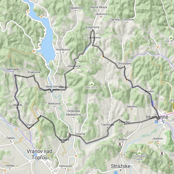
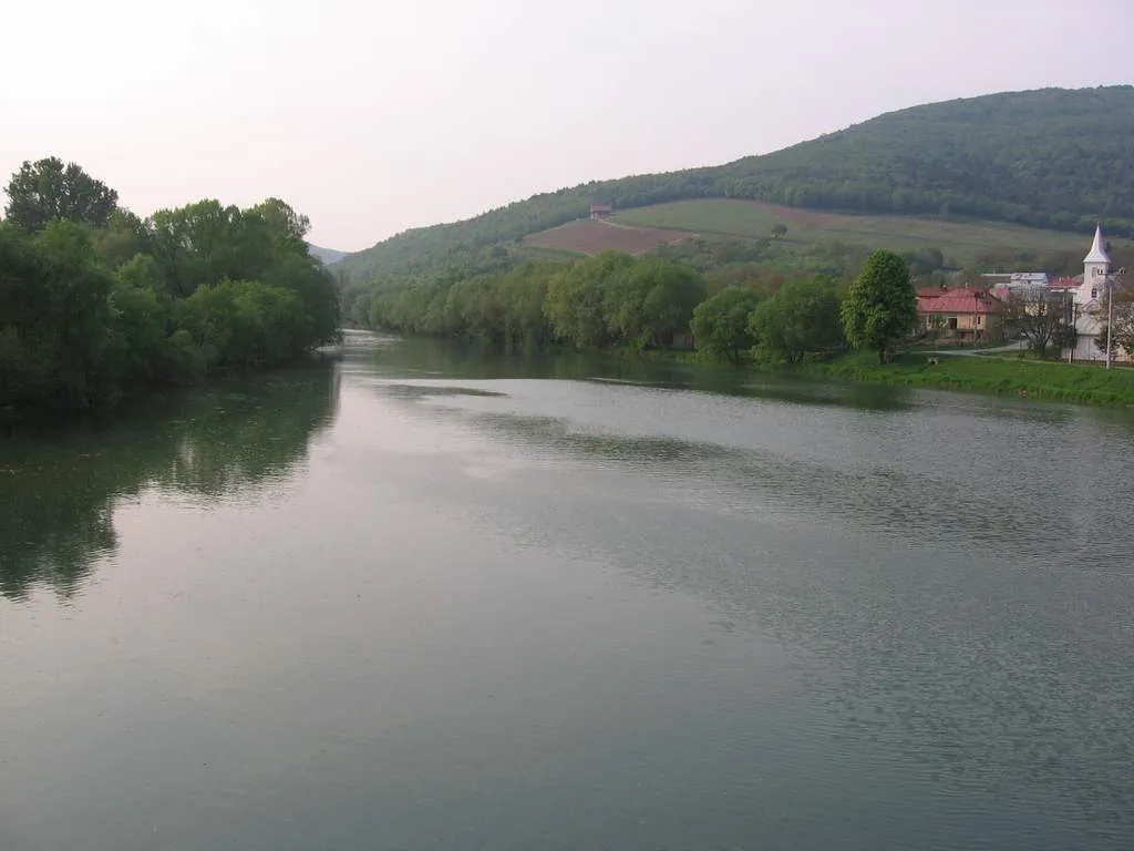
This road cycling route in Eastern Slovakia offers a thrilling experience amidst picturesque landscapes. Covering a distance of 70 km with an ascent of 555 meters, it is suitable for intermediate to advanced cyclists. The route includes highlights such as Hora, a stunning mountain offering breathtaking views, and Tovarné, a charming village dotted with traditional houses. Merník, a small town with a rich historical heritage, also lies along the route. Krajná hora, a majestic hilltop featuring lush forests, captures the imagination of any cyclist. Finally, Potoky allows cyclists to enjoy the tranquility of the countryside with its scenic rural surroundings.
road
70 km
555 m
Tough
Route profile
Highlights on the route
0 km
0 km
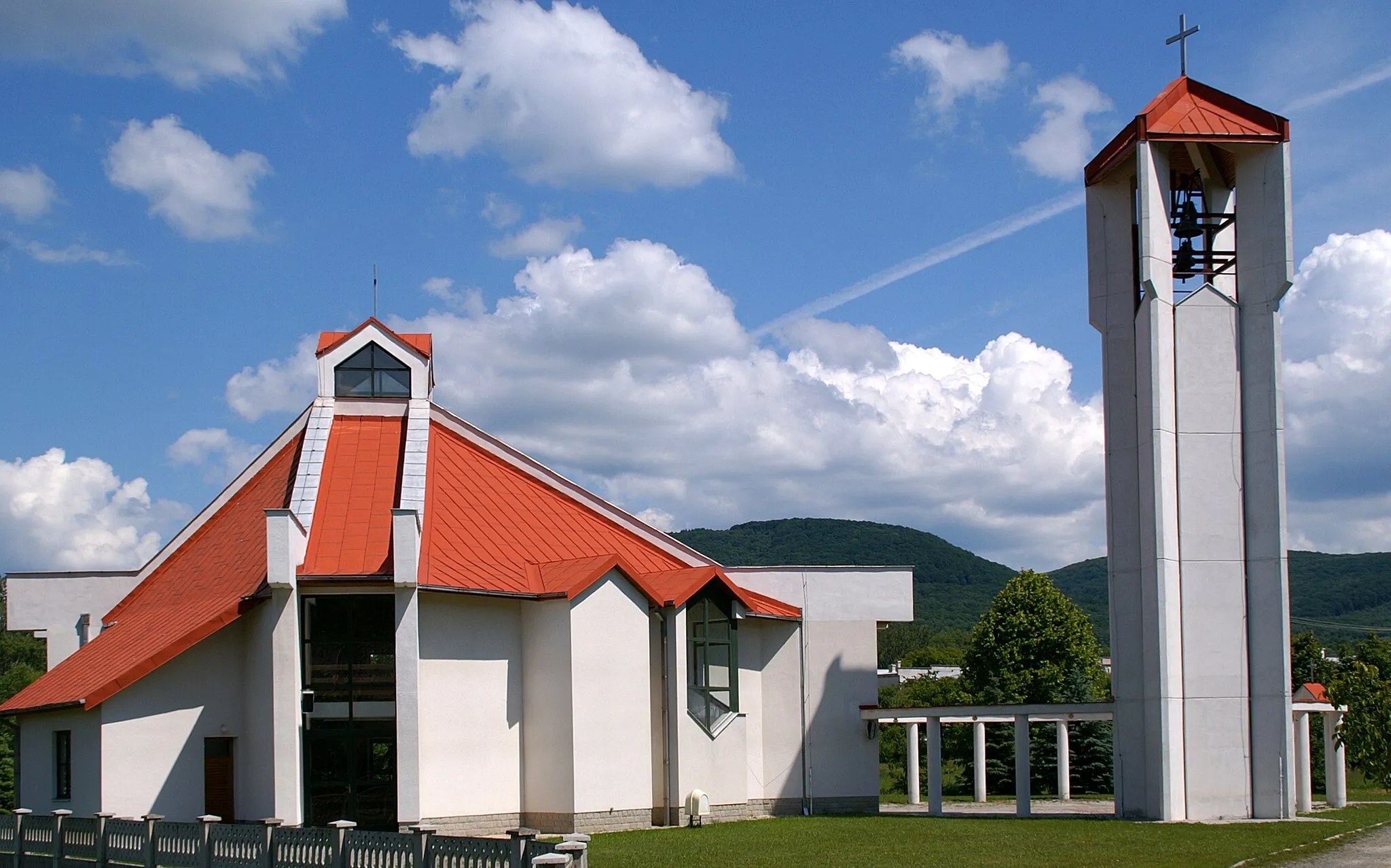
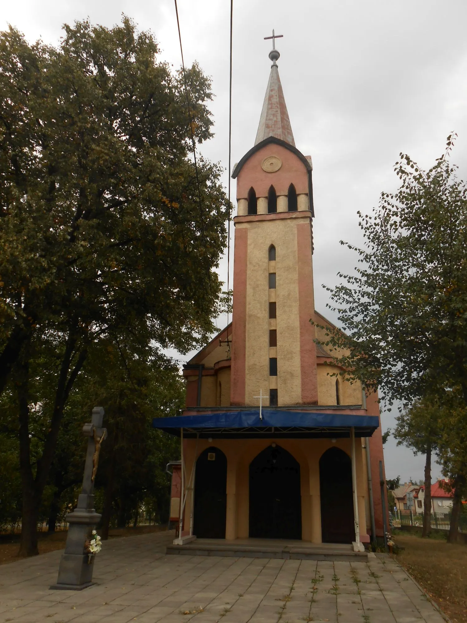
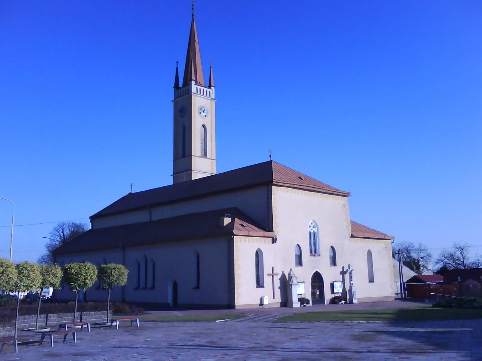
Start: Humenné City centerHumenné: Exploring Humenné's cultural heritage and enjoying the scenic trails of Vihorlat Mountains National Park.
Humenné is a locality situated in the Eastern Slovakia region. It offers diverse cycling routes suitable for both road and gravel cyclists, with its rolling hills and picturesque landscapes. The town is known for its cultural heritage, including Luke the Evangelist Church and the Vihorlat Observatory. Nearby, you can find Vihorlat Mountains National Park, which offers scenic trails for mountain biking. With its combination of cultural attractions and natural beauty, Humenné is a great destination for cyclists.6 km
6 km
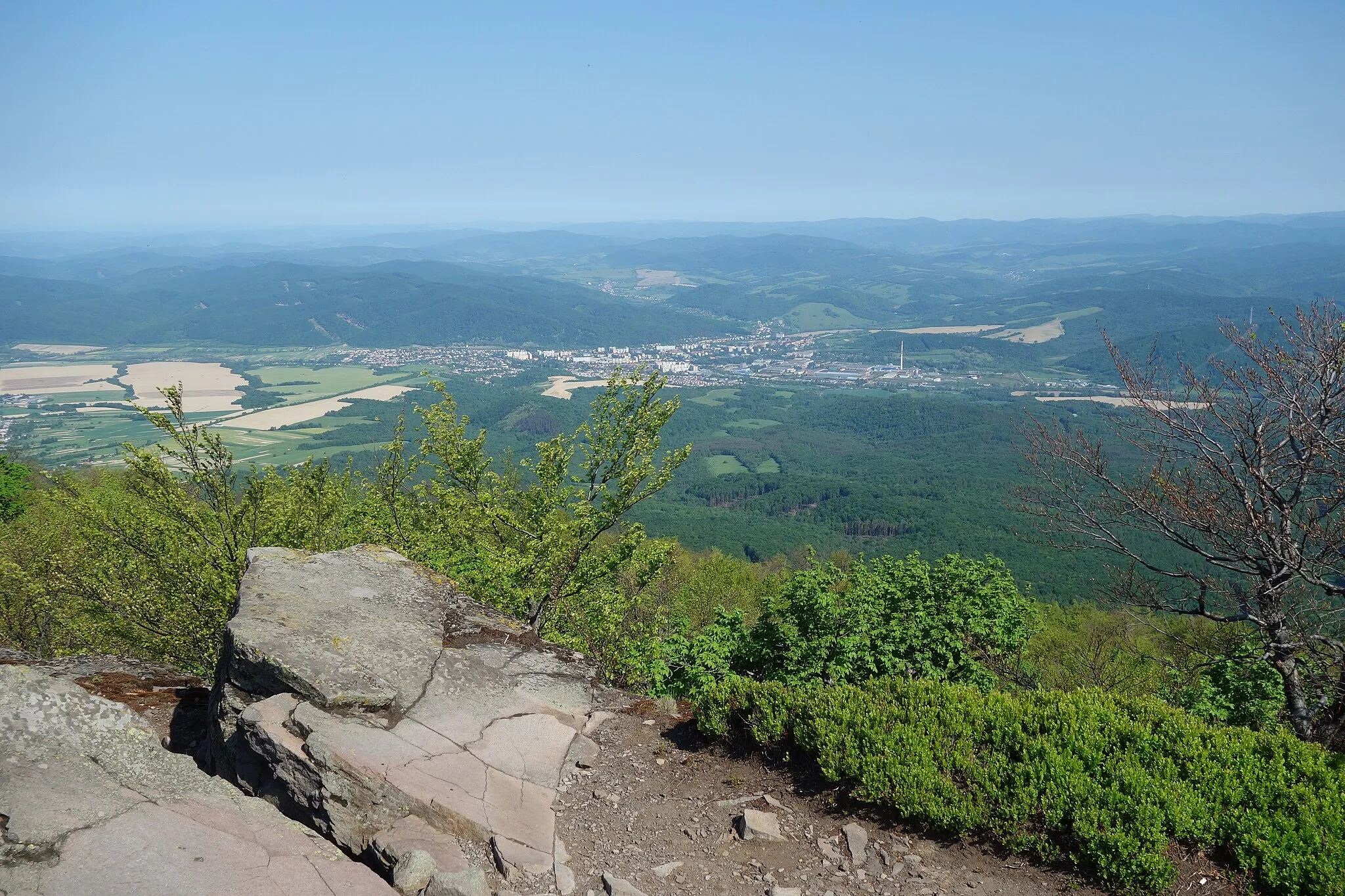
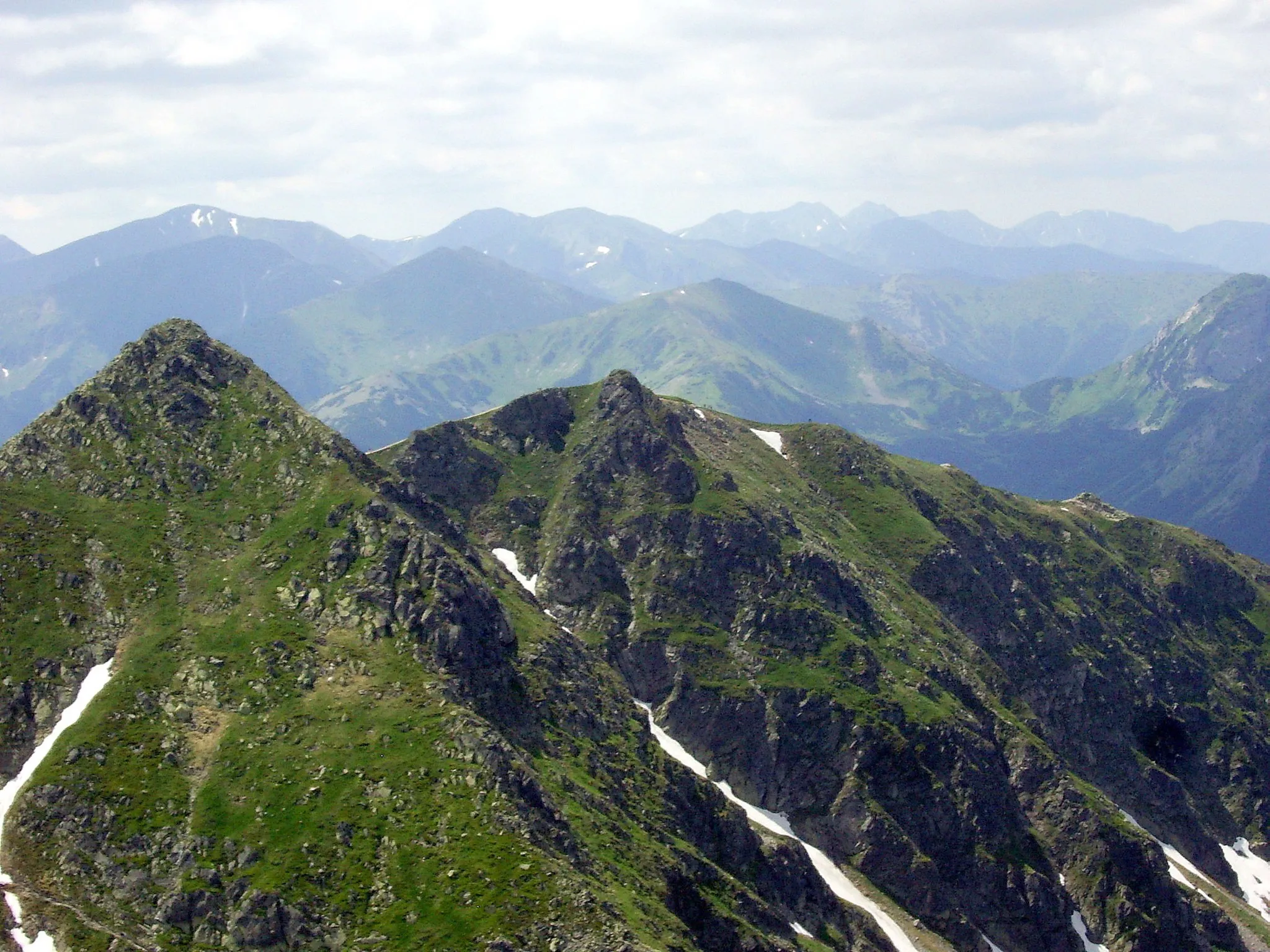
Hora278 mPeakHora: Scale the stunning Hora mountain and soak in panoramic views of the surrounding landscapes.
13 km
13 km
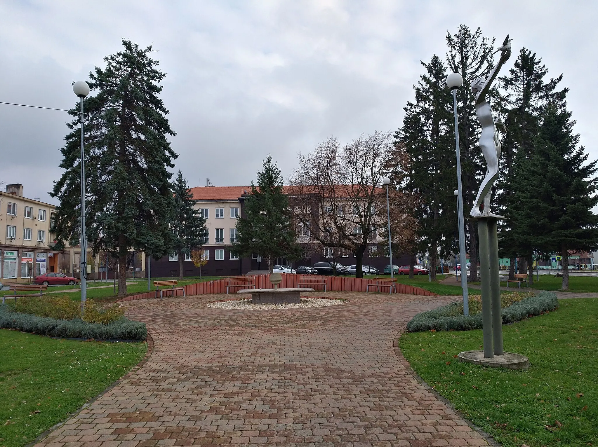
TovarnéVillageTovarné: Cycle through the charming village of Tovarné and admire its traditional houses and idyllic rural scenery.
27 km
27 km
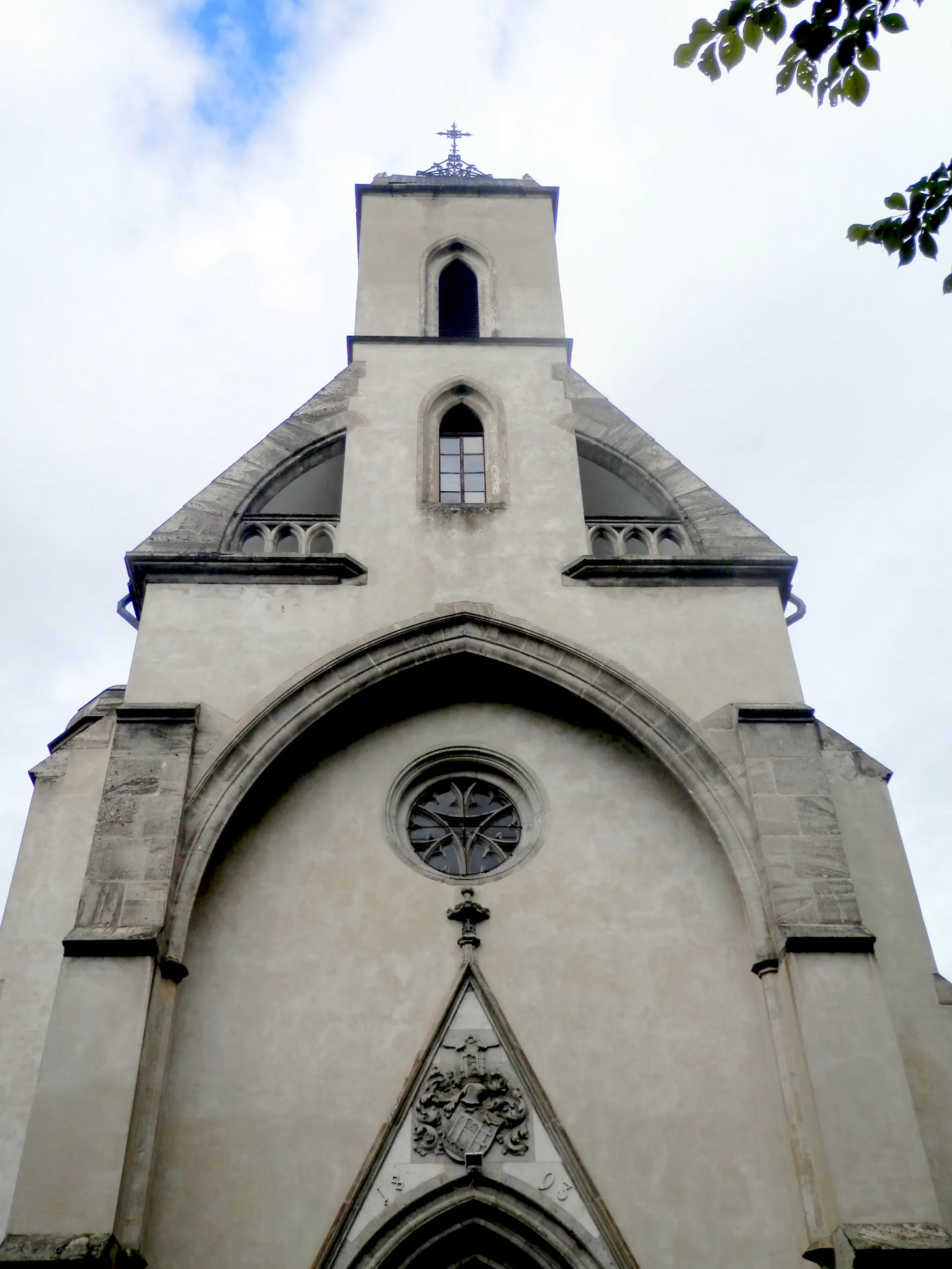
MerníkVillageMerník: Explore the historical landmarks and immerse yourself in the rich heritage of Merník.
32 km
32 km
Krajná hora302 mPeakKrajná hora: Experience the thrill of climbing the majestic Krajná hora hilltop and enjoy the picturesque forested surroundings.
65 km
65 km
Potoky361 mPeakPotoky: Cycle through the peaceful countryside and soak in the tranquility of Potoky's rural landscapes.
70 km
70 km
Finish: Humenné City centerHumenné: Exploring Humenné's cultural heritage and enjoying the scenic trails of Vihorlat Mountains National Park.
Cycling routes from Humenne:
Rural Exploration Natural Wonders and Tradition Nature and Views Gravel Adventure in Humenné Countryside Scenic Road Cycling Loop near Humenné Countryside Discovery Road Cycling Route Scenic Road Cycling Gravel Adventure to the Heart of Humenné Challenging Road Cycling Loop with Scenic Beauty Road Route Eastern Slovakia Gravel Route Eastern Slovakia
Cycling routes nearby: