Gravel Adventure in Humenné Countryside
A gravel cycling route starting from Humenne
Embark on an exciting gravel adventure in the picturesque countryside near Humenné
Map
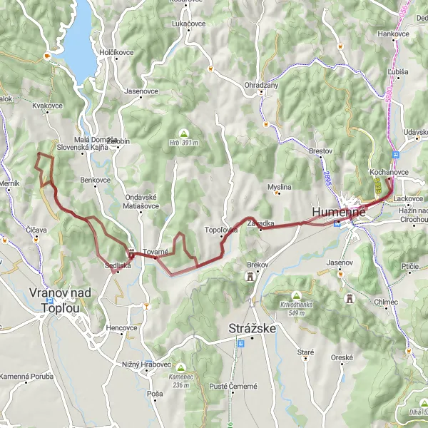
This gravel route near Humenné offers a thrilling adventure through the beautiful countryside of eastern Slovakia. With a total distance of 62 kilometers and an elevation gain of 687 meters, cyclists can enjoy stunning views and challenging terrain. The route encompasses various highlights such as Závadka, a charming village located 9 kilometers into the ride, and Hora, a majestic hill located 11 kilometers into the ride. With its distinctive features and unique off-road experience, this gravel route is perfect for cycling enthusiasts seeking an exhilarating journey in nature.
gravel
62 km
687 m
Tough
Route profile
Highlights on the route
0 km
0 km
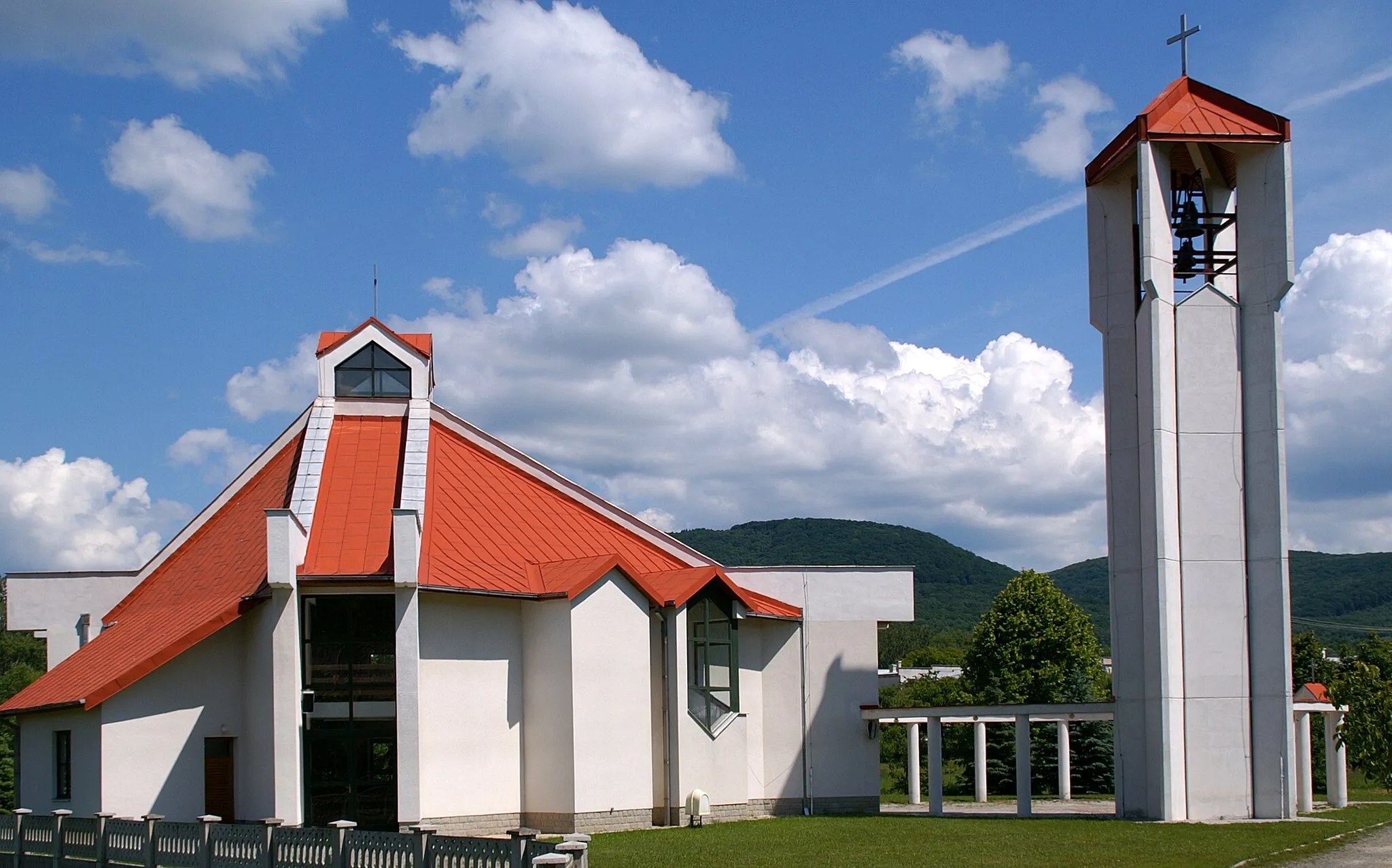
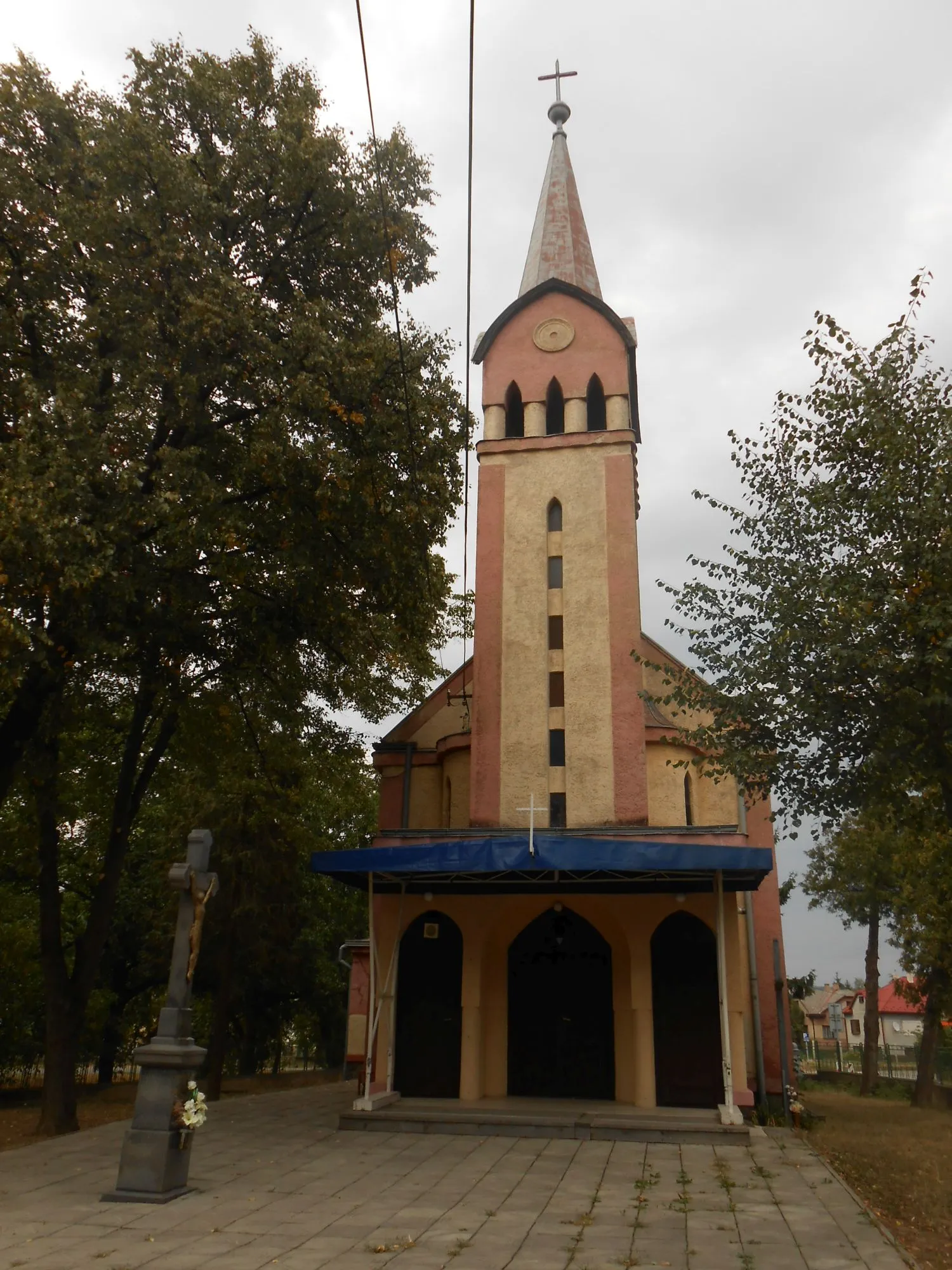
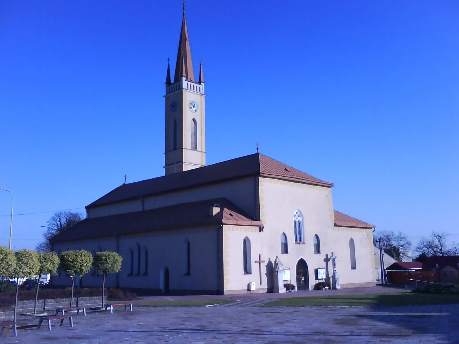
Start: Kochanovce Village centerHumenné: Exploring Humenné's cultural heritage and enjoying the scenic trails of Vihorlat Mountains National Park.
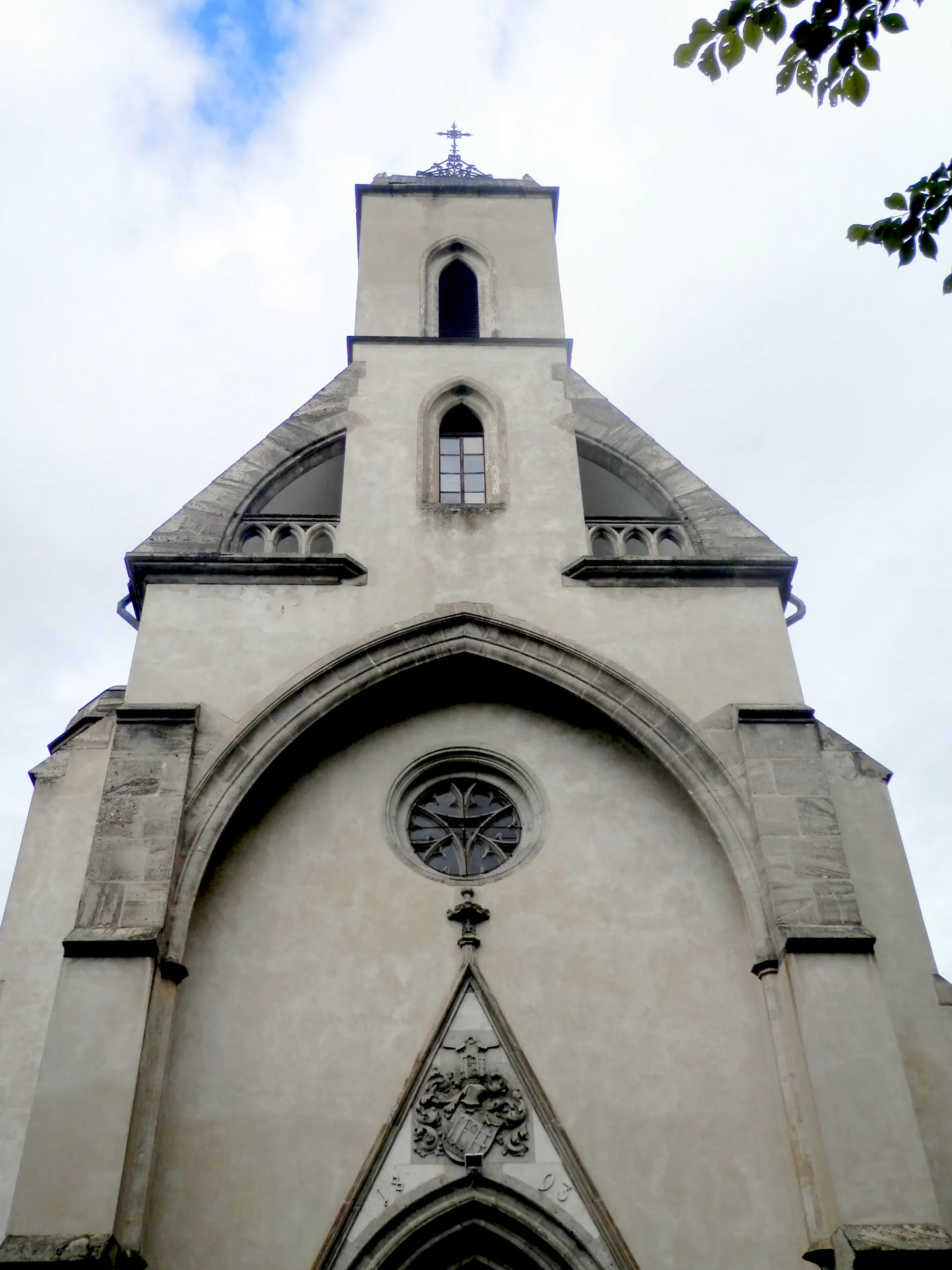
Humenné is a locality situated in the Eastern Slovakia region. It offers diverse cycling routes suitable for both road and gravel cyclists, with its rolling hills and picturesque landscapes. The town is known for its cultural heritage, including Luke the Evangelist Church and the Vihorlat Observatory. Nearby, you can find Vihorlat Mountains National Park, which offers scenic trails for mountain biking. With its combination of cultural attractions and natural beauty, Humenné is a great destination for cyclists.9 km
9 km
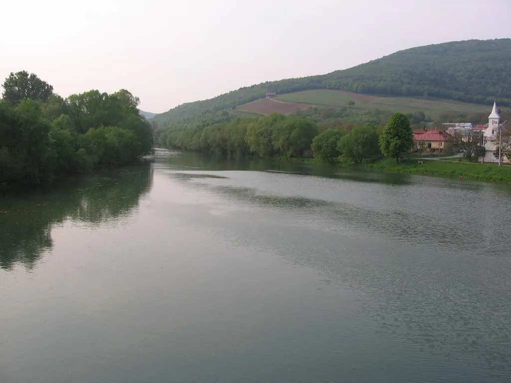
ZávadkaVillageVisit Závadka, a picturesque village located 9 kilometers into the route and immerse yourself in its charming countryside surroundings.
11 km
11 km
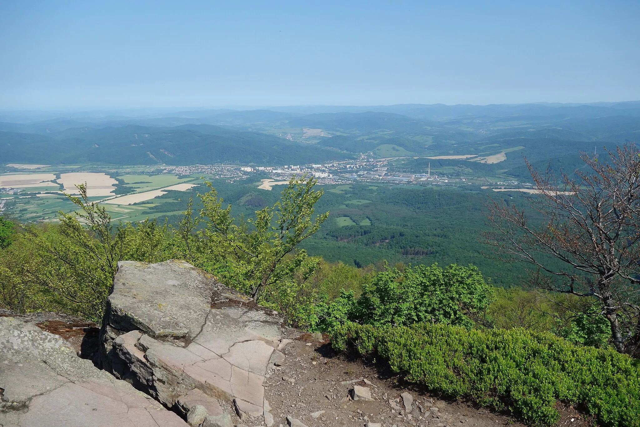
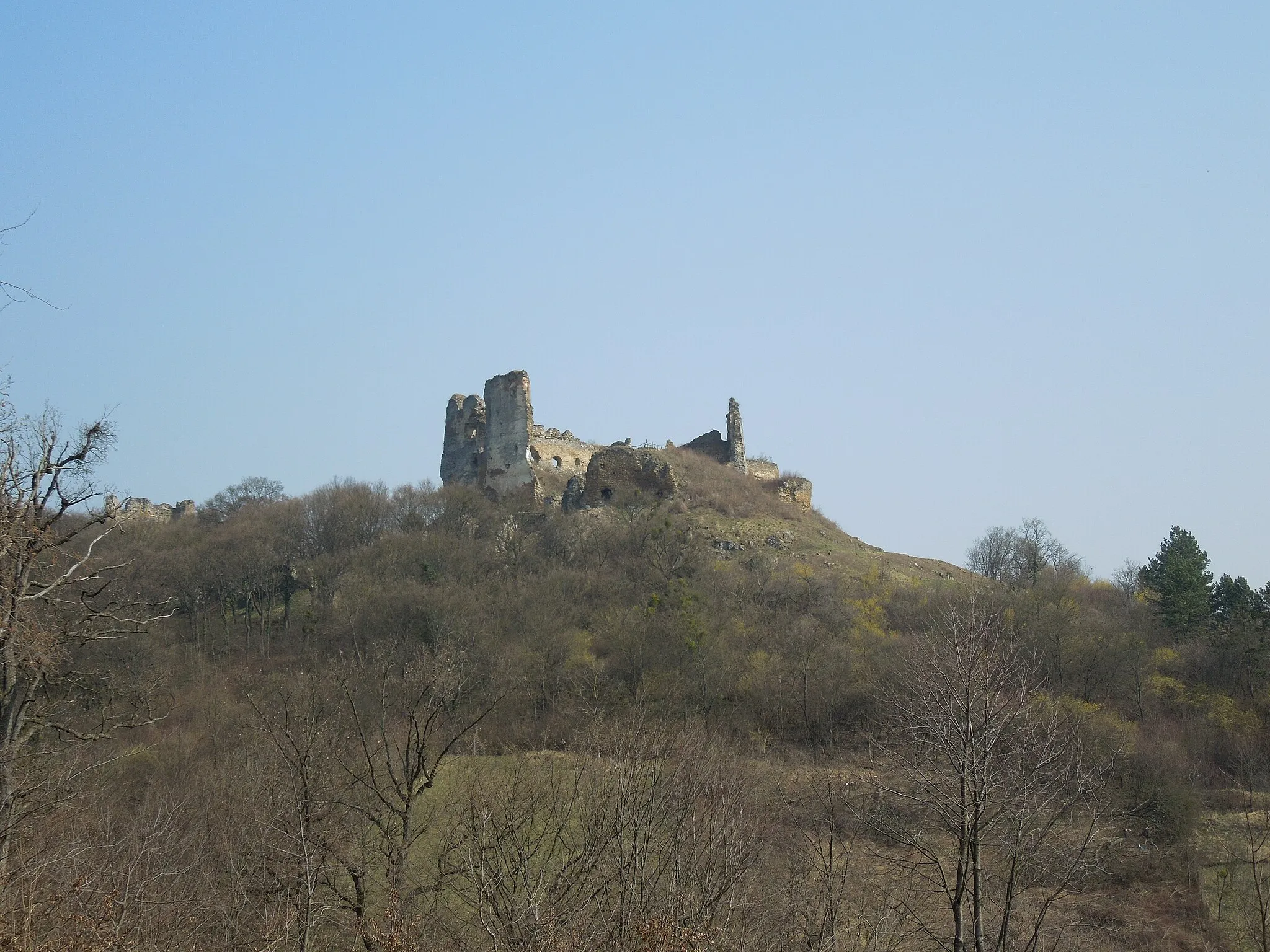
Hora278 mPeakDiscover Hora, a stunning hill located 11 kilometers into the route, and marvel at its breathtaking panoramic views.
21 km
21 km
Inovec322 mPeakPass through Inovec, a picturesque settlement located 21 kilometers into the route, and enjoy its scenic beauty.
25 km
25 km
Vyšný KazimírVillageExperience a sense of tranquility as you cycle through Vyšný Kazimír, a scenic area located 25 kilometers into the route.
39 km
39 km
SedliskáVillageImmerse yourself in the rustic beauty of Sedliská, a charming village located 39 kilometers into the route.
44 km
44 km
Nad Chrasťou255 mPeakExplore the natural beauty surrounding Nad Chrasťou, an idyllic area located 44 kilometers into the route.
57 km
57 km
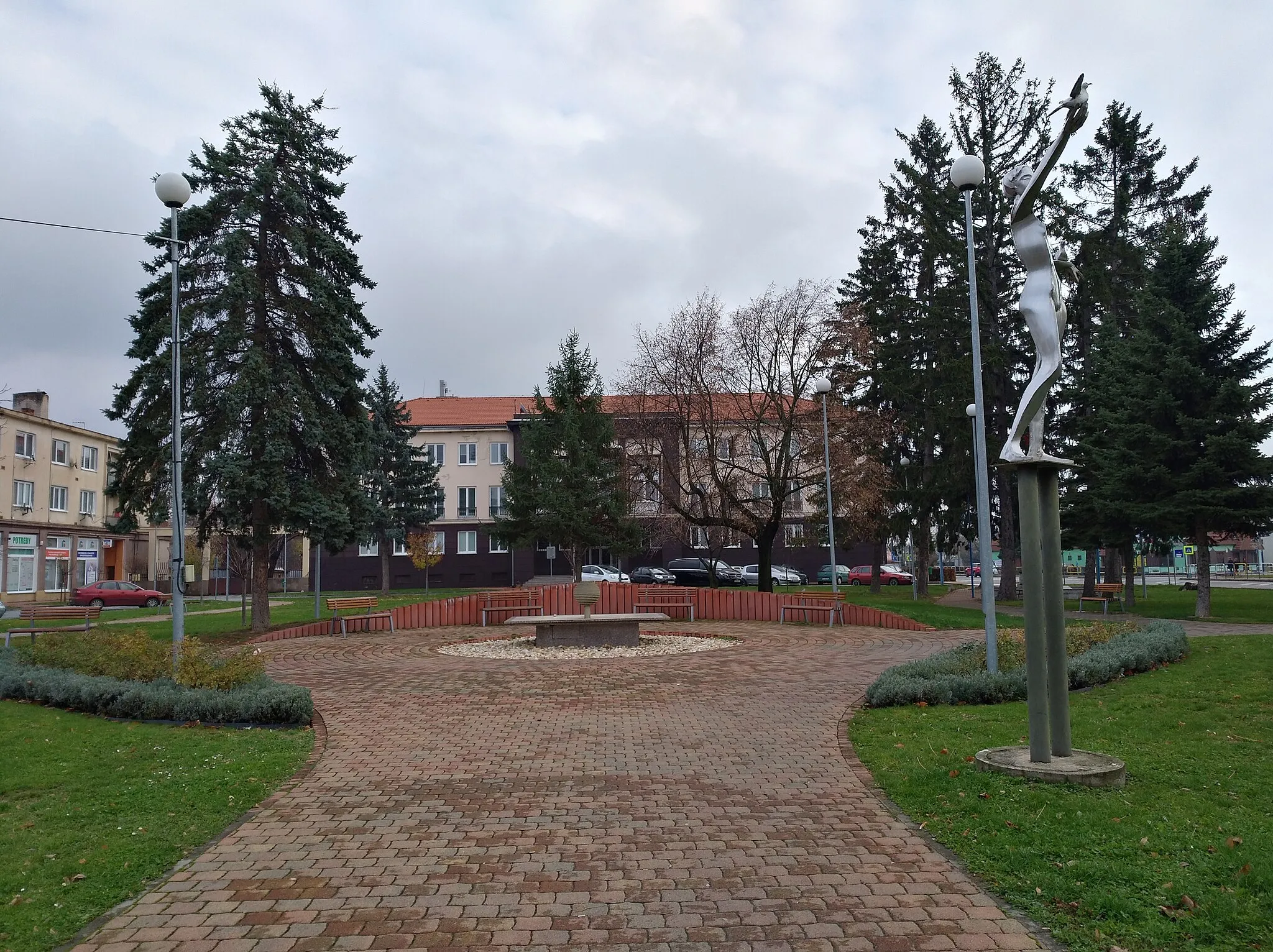
Sídlisko ISub-urbTake a break at Sídlisko I, a peaceful neighborhood located 57 kilometers into the route, and have a glimpse of local life.
61 km
61 km
Hubková278 mPeakMake a stop at Hubková, a scenic village located 61 kilometers into the route, and appreciate its tranquil setting.
62 km
62 km
Finish: Kochanovce Village centerHumenné: Exploring Humenné's cultural heritage and enjoying the scenic trails of Vihorlat Mountains National Park.
Cycling routes from Humenne:
Rural Exploration Natural Wonders and Tradition Nature and Views Gravel Adventure in Humenné Countryside Scenic Road Cycling Loop near Humenné Countryside Discovery Road Cycling Route Scenic Road Cycling Gravel Adventure to the Heart of Humenné Challenging Road Cycling Loop with Scenic Beauty Road Route Eastern Slovakia Gravel Route Eastern Slovakia
Cycling routes nearby: