Prevalje Gravel Adventure
A gravel cycling route starting from Prevalje
Embark on an exhilarating gravel adventure starting from Prevalje
Map
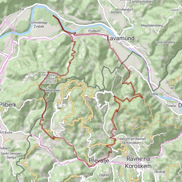
This thrilling gravel route takes you through scenic landscapes and challenging terrains. With a total ascent of 1736m over a distance of 53km, it offers a great workout for cyclists who enjoy off-road biking. The route features several highlights, including Komar, Kömmelgupf / Komeljski Vrh, Schloss Neuhaus, Libeliče, Brinjeva gora, and Prevalje itself, offering incredible views and interesting stop-over attractions.
gravel
53 km
1736 m
Tough
Route profile
Highlights on the route
0 km
0 km
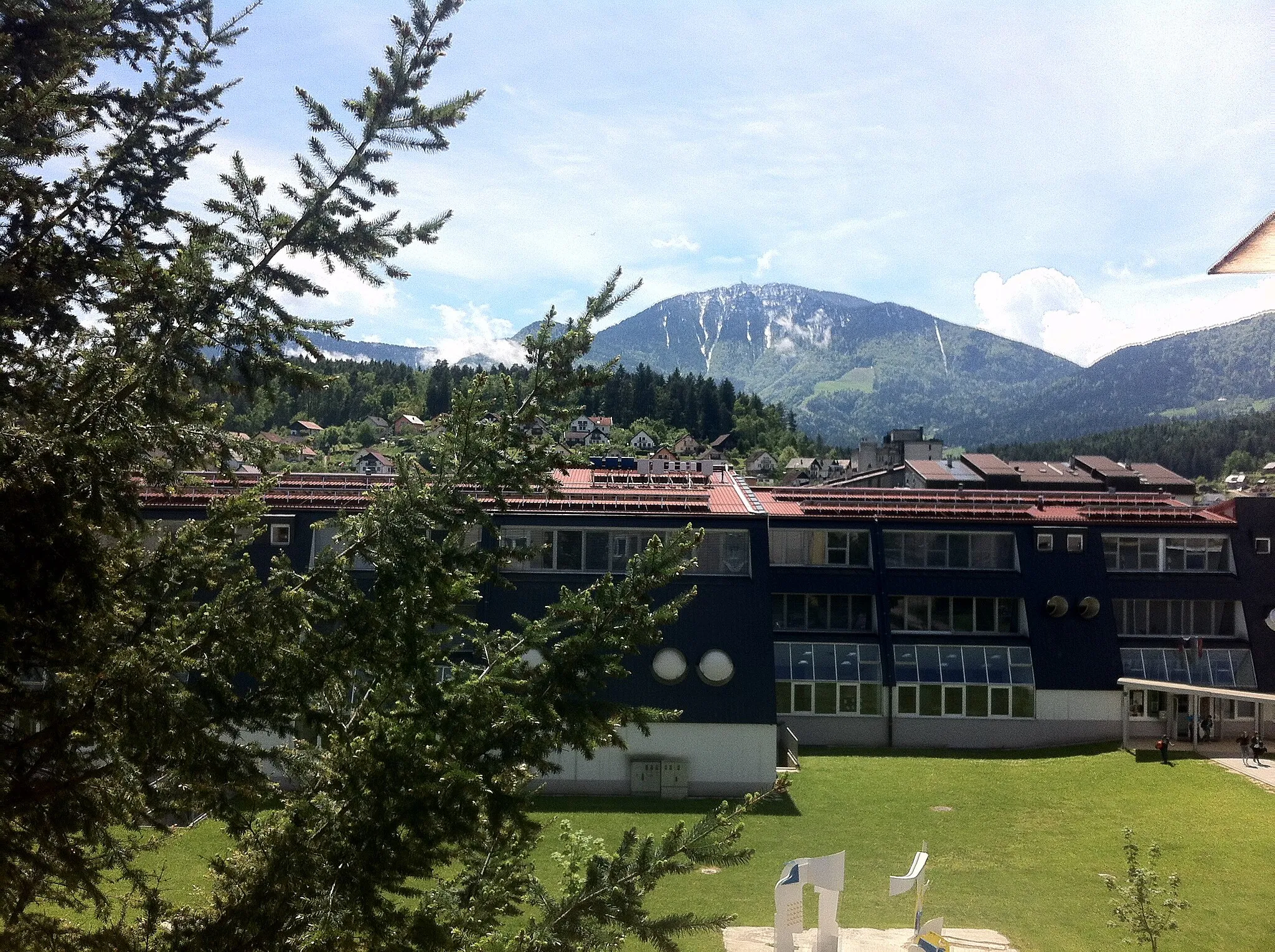
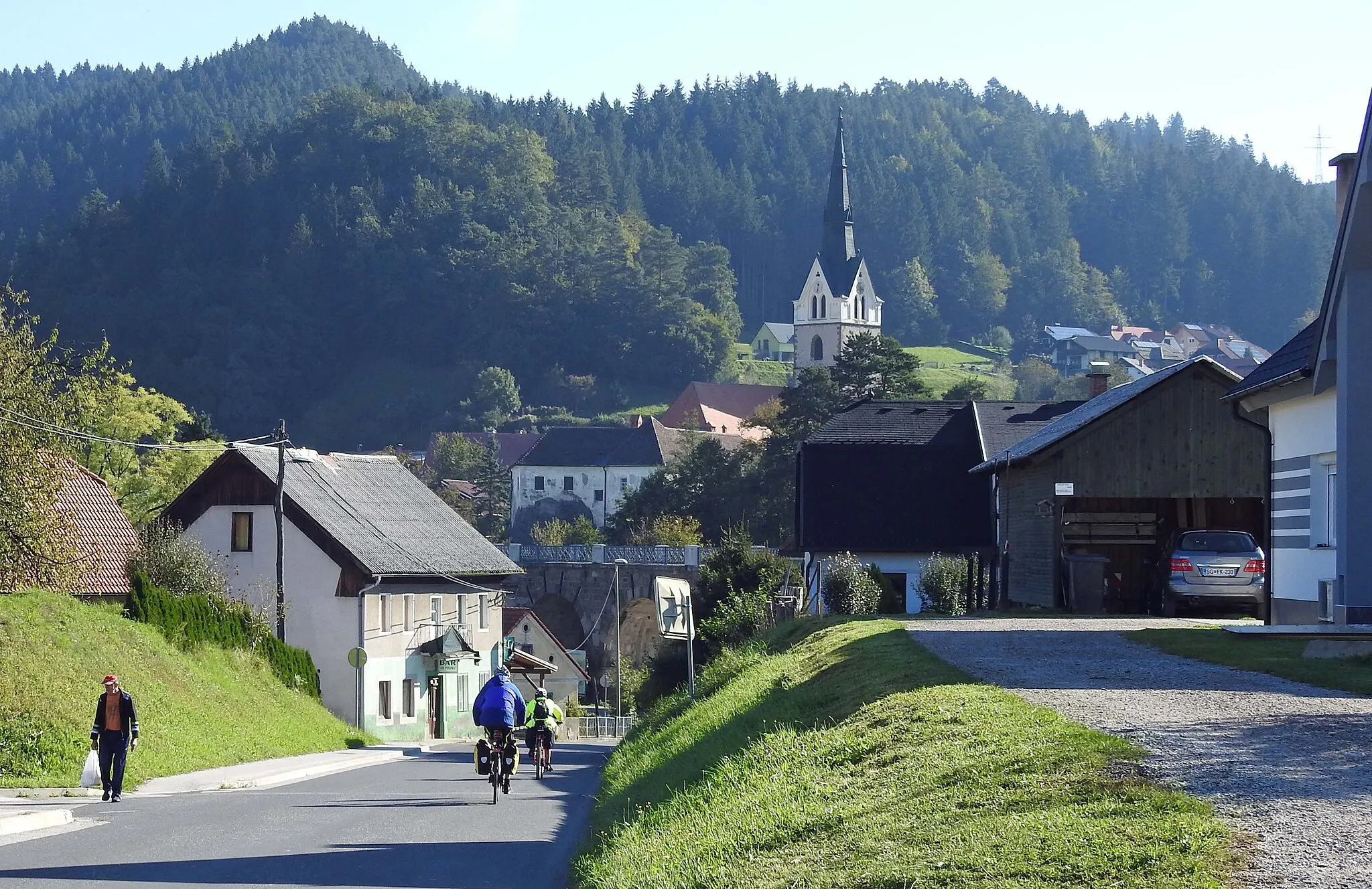
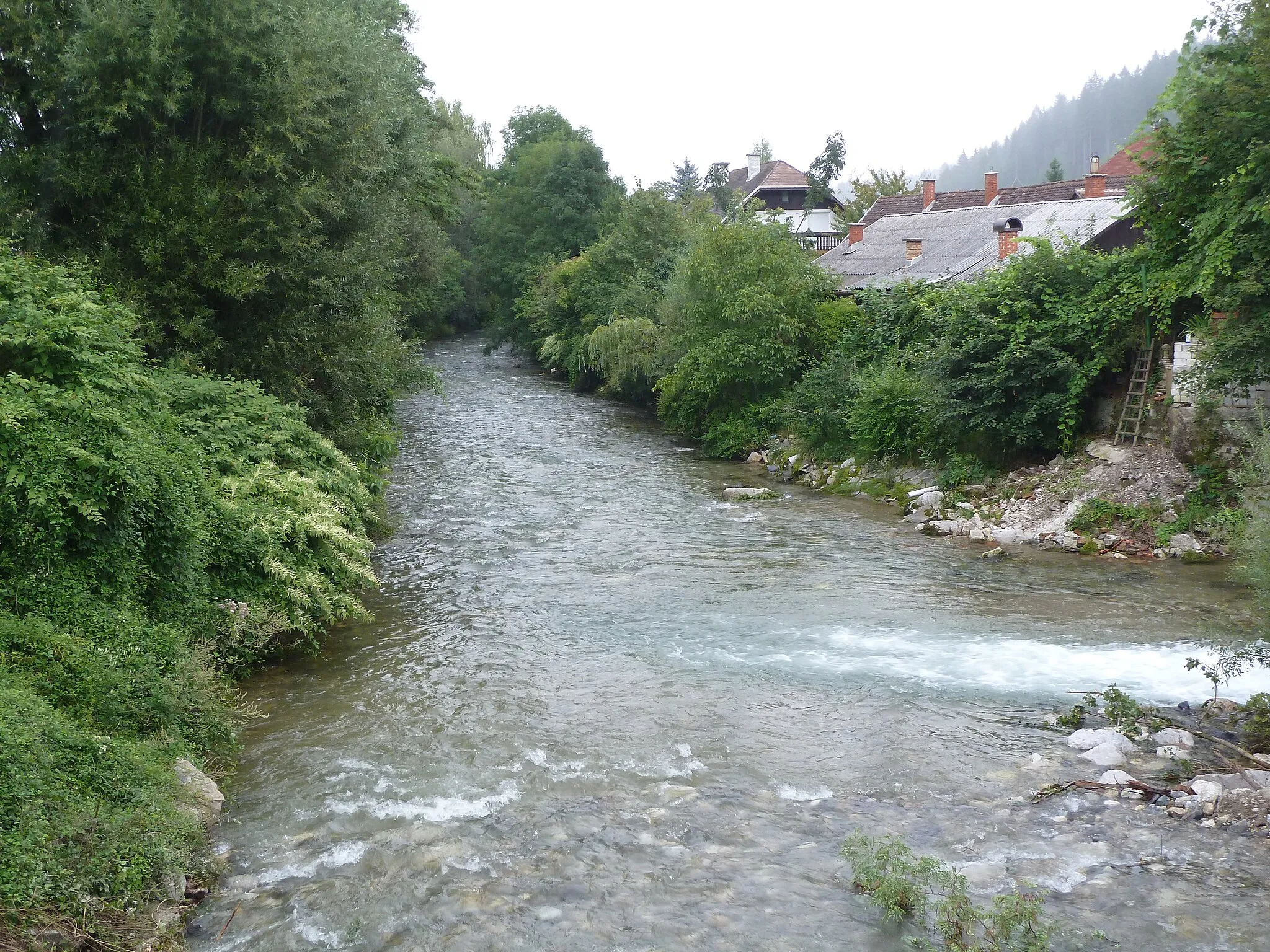
Start: Prevalje City centerPrevalje: Discovering scenic landscapes and historical sites in Prevalje.
Prevalje is a locality in the Vzhodna Slovenija region of Slovenia. Cyclists can enjoy riding on well-maintained roads that pass through scenic landscapes and picturesque villages. The area offers a mix of flat and hilly terrain, providing options for different skill levels. Prevalje is also home to several castles and historical sites, making it an interesting destination for both cycling and tourism. One well-known cycling spot nearby is Maribor Pohorje, which is a popular mountain biking destination.1 km
1 km
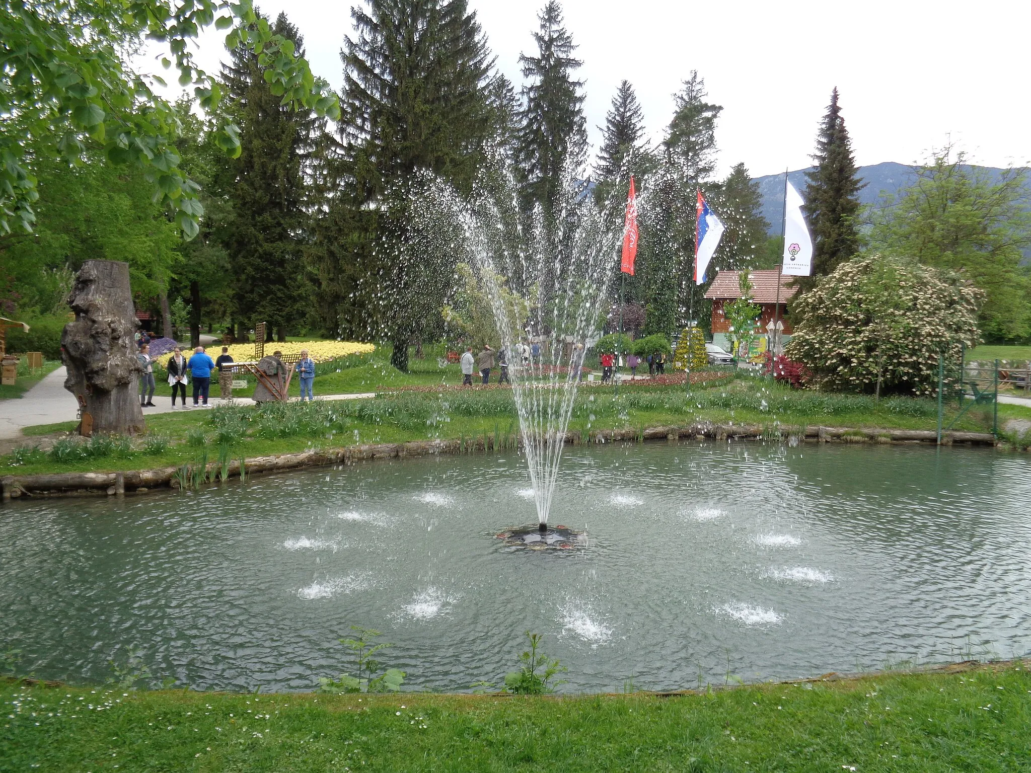
Komar585 mPeakKomar, the first highlight on the route, is a small Slovenian village known for its charming rural atmosphere.
14 km
14 km
Kömmelgupf / Komeljski Vrh1065 mPeakKömmelgupf / Komeljski Vrh, at 14km mark, offers stunning panoramic views of the surrounding countryside.
21 km
21 km
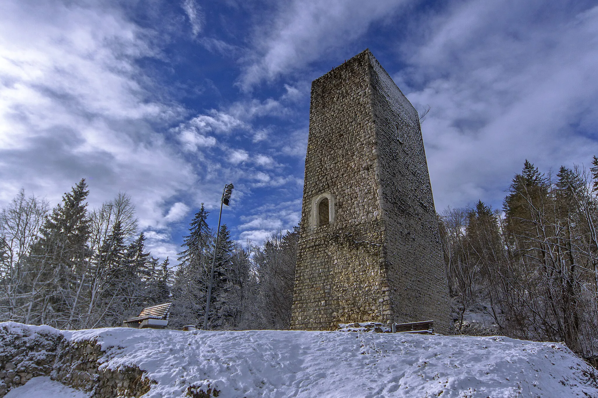
Schloss NeuhausCastleSchloss Neuhaus, a beautiful castle located at 21km mark, is a must-visit highlight for history enthusiasts.
34 km
34 km
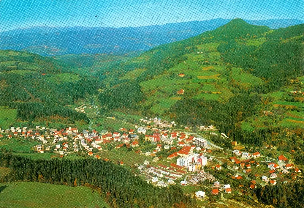
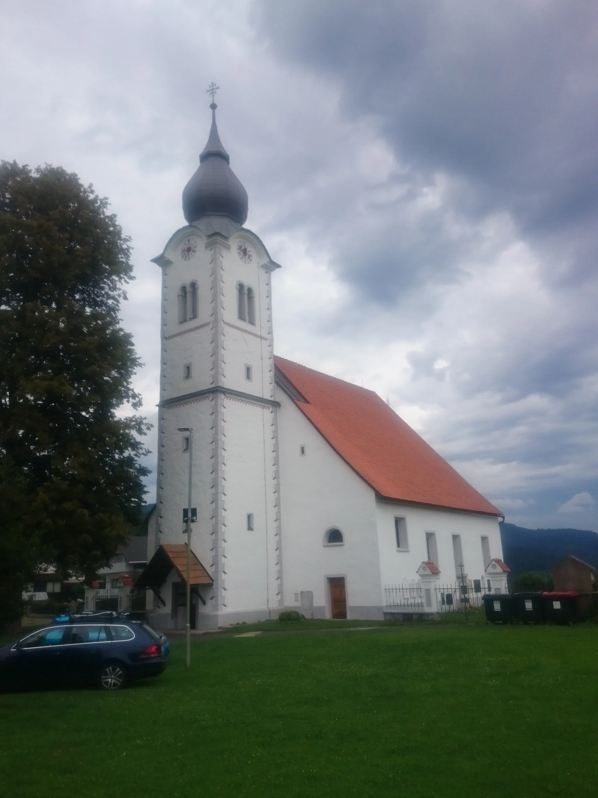
LibeličeVillageThe village of Libeliče, at 34km mark, is known for its picturesque landscapes and traditional Slovenian architecture.
50 km
50 km
Brinjeva gora723 mPeakBrinjeva gora, a hill at 50km mark, offers challenging terrains and rewards cyclists with breathtaking views.
53 km
53 km
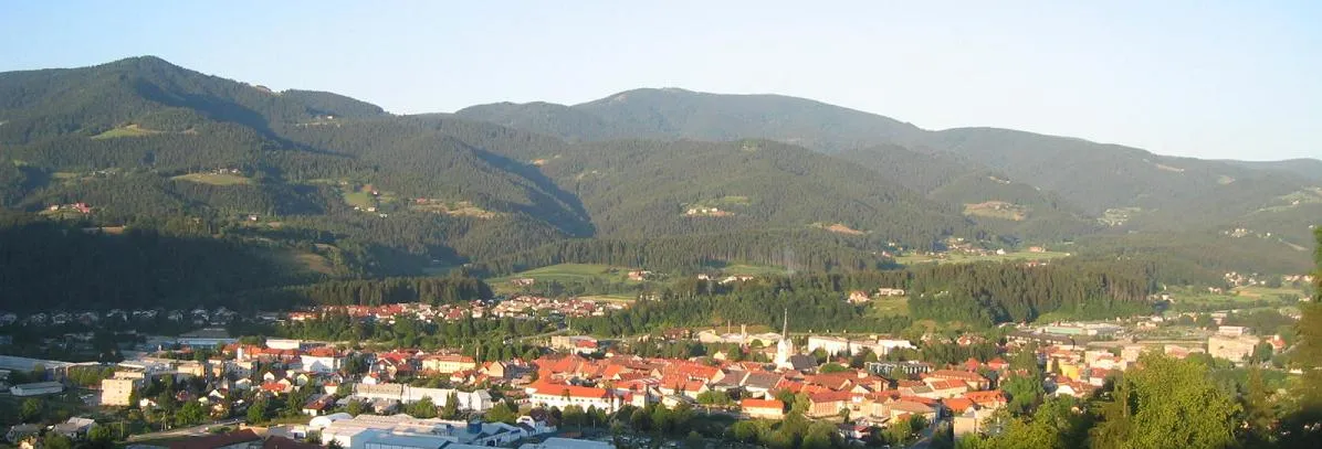
PrevaljeTownPrevalje, the starting point and endpoint of the route, is a charming town surrounded by natural beauty.
53 km
53 km
Finish: Prevalje City centerPrevalje: Discovering scenic landscapes and historical sites in Prevalje.
Cycling routes nearby: