Prevalje Circular Road Route
A road cycling route starting from Prevalje
Explore the stunning landscapes surrounding Prevalje on this challenging circular road route.
Map
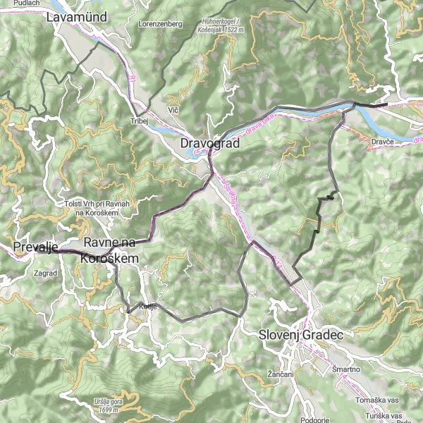
This circular road route starting near Prevalje offers a challenging ride through beautiful landscapes and scenic viewpoints. With a total ascent of 842 meters and a distance of 54 kilometers, cyclists can expect a rigorous yet rewarding experience. The route will take you through notable highlights such as Votla peč, Skala, Rahtelov vrh, and Pežlov vrh, offering breathtaking panoramic views along the way. Suitable for well-trained amateurs, this route provides a great opportunity to immerse yourself in the natural beauty of Vzhodna Slovenija.
road
54 km
842 m
Tough
Route profile
Highlights on the route
0 km
0 km
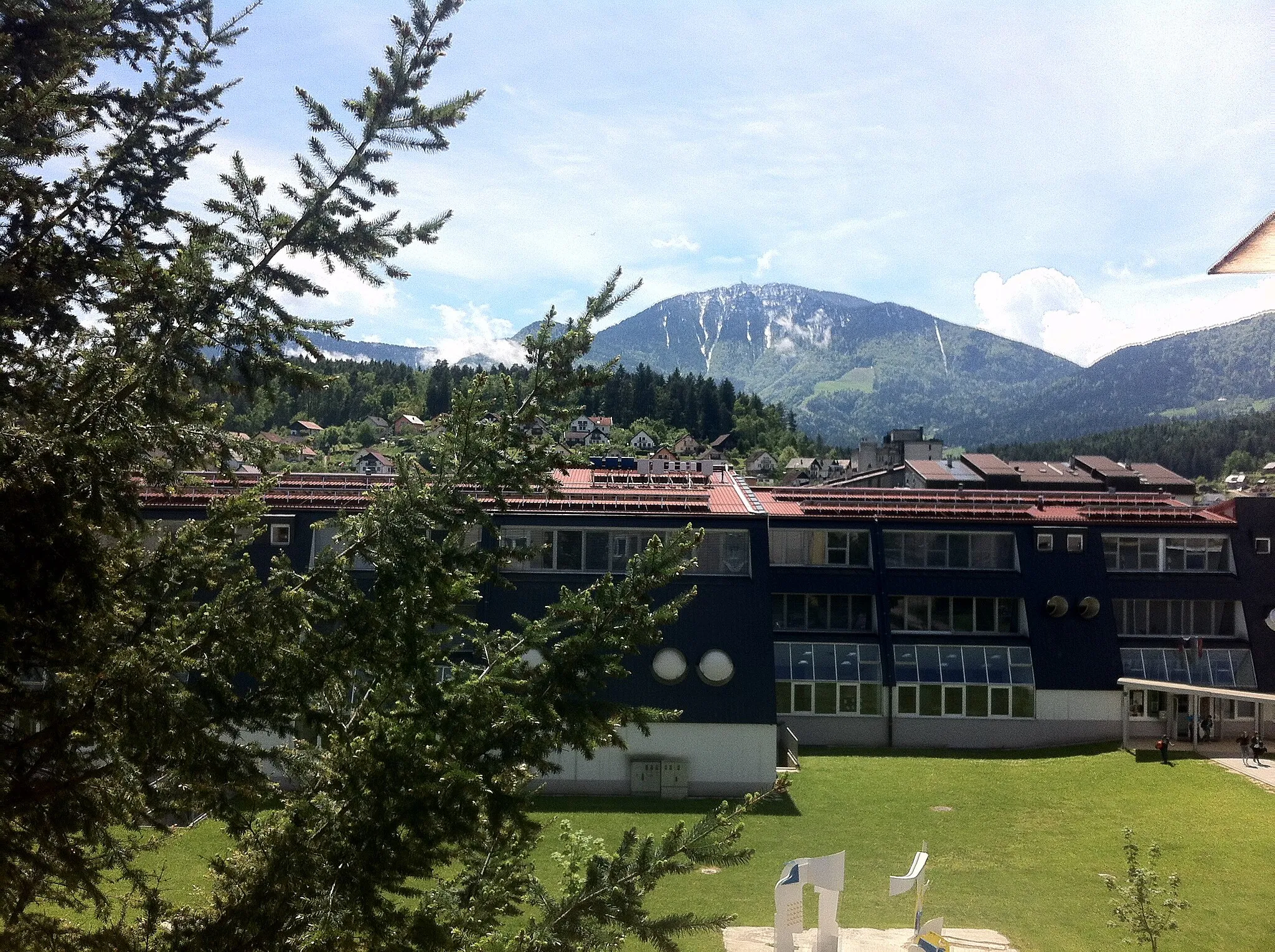
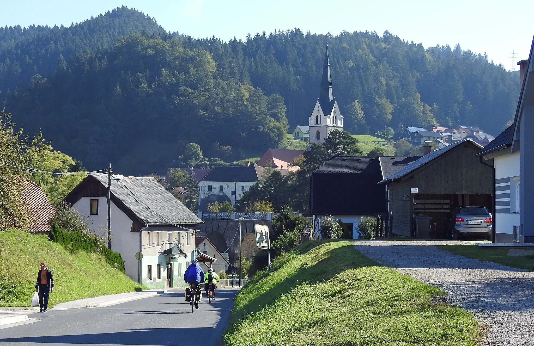
Start: Prevalje City centerPrevalje: Discovering scenic landscapes and historical sites in Prevalje.
Prevalje is a locality in the Vzhodna Slovenija region of Slovenia. Cyclists can enjoy riding on well-maintained roads that pass through scenic landscapes and picturesque villages. The area offers a mix of flat and hilly terrain, providing options for different skill levels. Prevalje is also home to several castles and historical sites, making it an interesting destination for both cycling and tourism. One well-known cycling spot nearby is Maribor Pohorje, which is a popular mountain biking destination.0 km
0 km
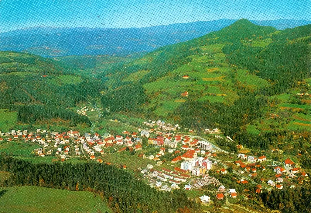
PrevaljeTownMake a stop at Prevalje, a charming town famous for its historical significance.
4 km
4 km
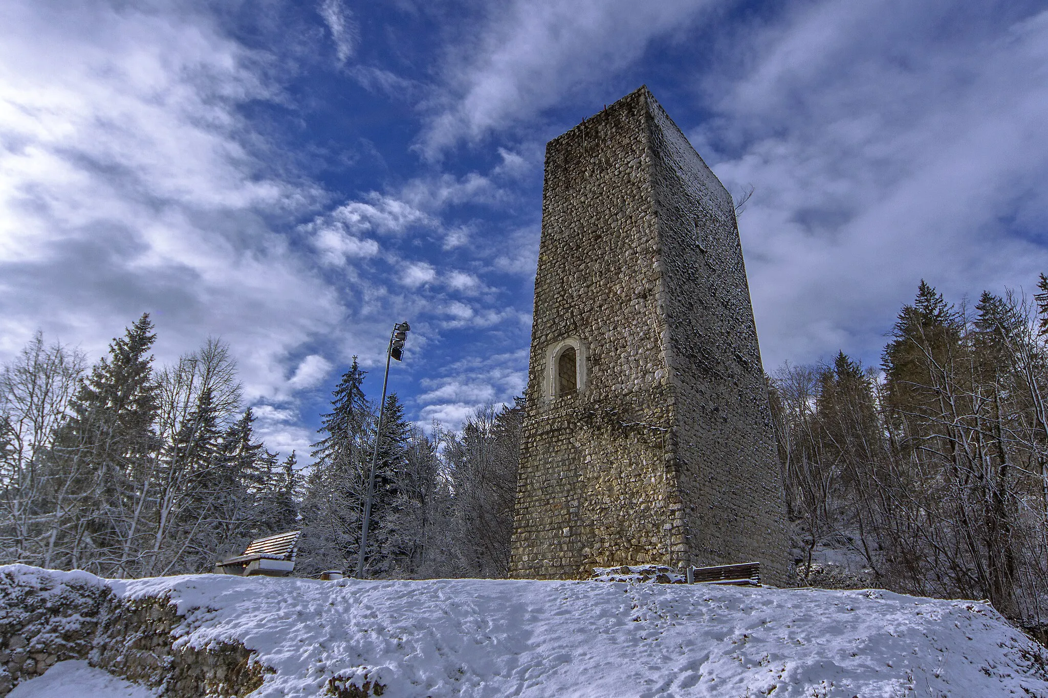
Votla peč449 mPeakAdmire the unique rock formation of Votla peč, which offers stunning views of the surrounding area.
12 km
12 km
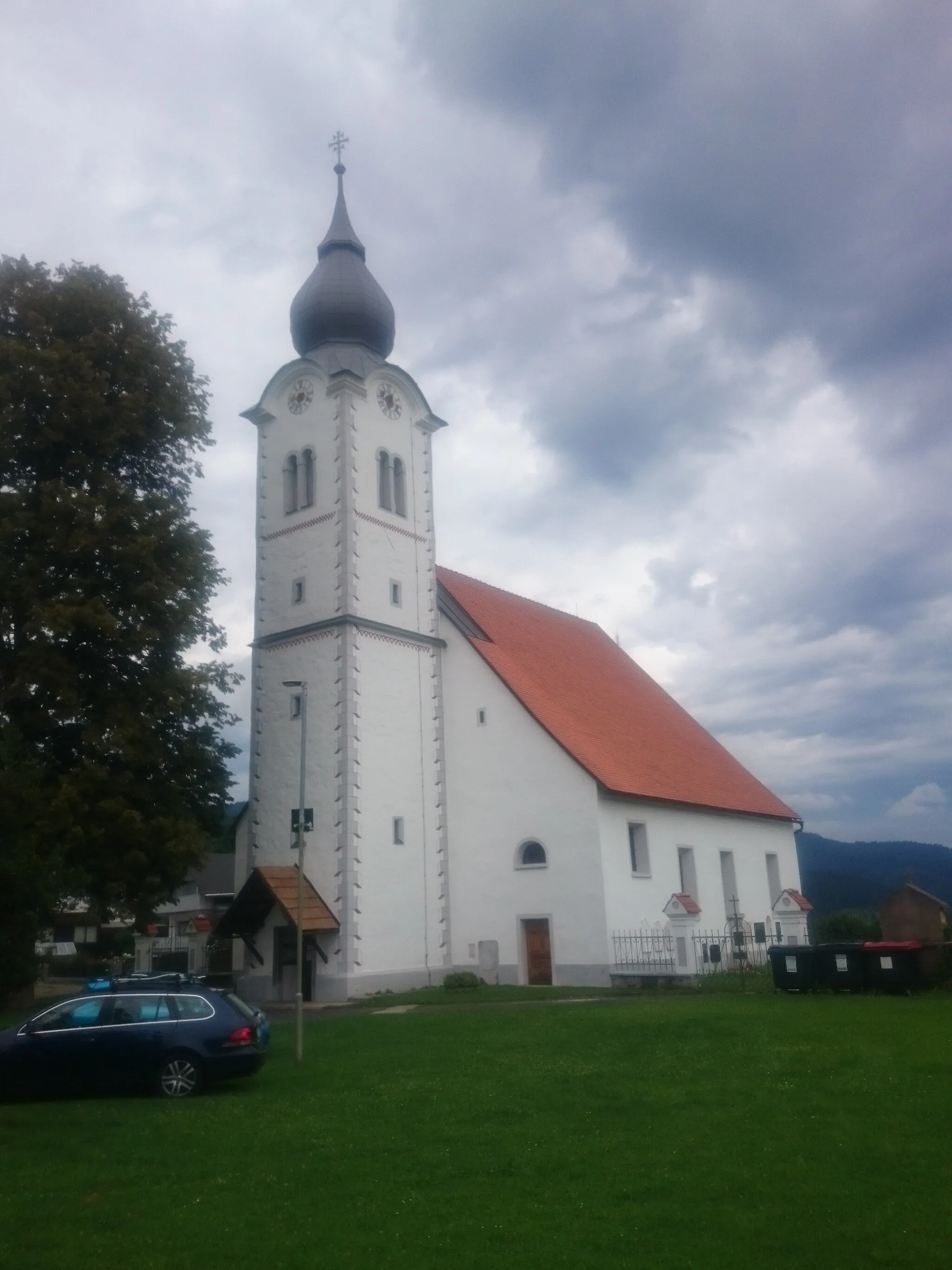
SkalaViewpointEn route, pass by Skala, a picturesque village known for its traditional architecture.
23 km
23 km
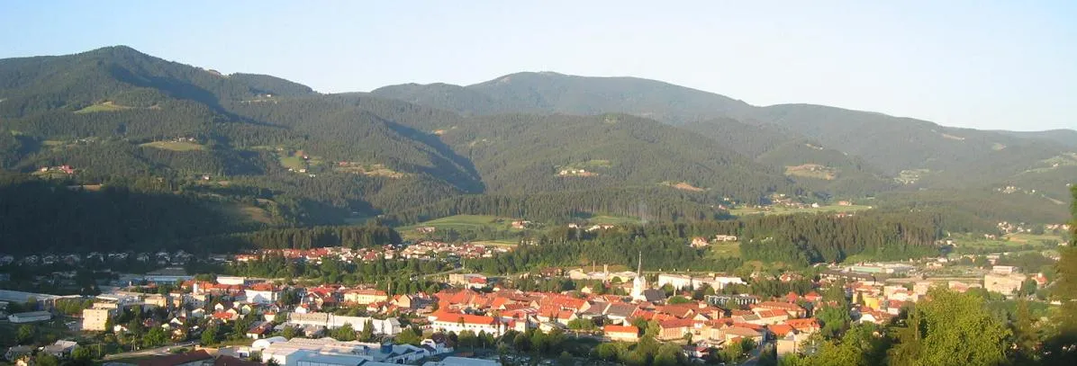
TrbonjeVillageDiscover Trbonje, a small village with a rich cultural heritage.
35 km
35 km
Rahtelov vrh667 mPeakExperience the beauty of Rahtelov vrh, a hill known for its diverse flora and fauna.
42 km
42 km
Pežlov vrh559 mPeakClimbing to the peak of Pežlov vrh, enjoy panoramic views of the surrounding mountains.
46 km
46 km
KotljeVillagePass through Kotlje, a charming village nestled in the picturesque Kotlje Valley.
54 km
54 km
Temeljev hrib659 mPeakEnjoy the scenic surroundings as you ride along the slopes of Temeljev hrib.
54 km
54 km
Finish: Prevalje City centerPrevalje: Discovering scenic landscapes and historical sites in Prevalje.
Cycling routes nearby: