Prevalje Gravel Experience
A gravel cycling route starting from Prevalje
Indulge in a thrilling gravel experience starting from Prevalje
Map
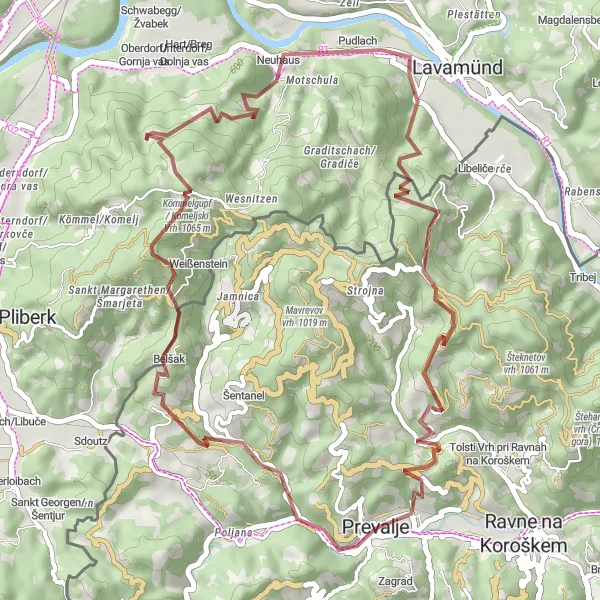
This gravel route starting from Prevalje offers an exciting adventure for off-road cycling enthusiasts. With a total ascent of 1536m over a distance of 45km, it provides a moderate challenge combined with breathtaking landscapes. The highlights of this route include Komar, Kömmelgupf / Komeljski Vrh, Schloss Neuhaus, Libeliče, and Brinjeva gora, providing a variety of terrains and beautiful vistas.
gravel
45 km
1536 m
Tough
Route profile
Highlights on the route
0 km
0 km
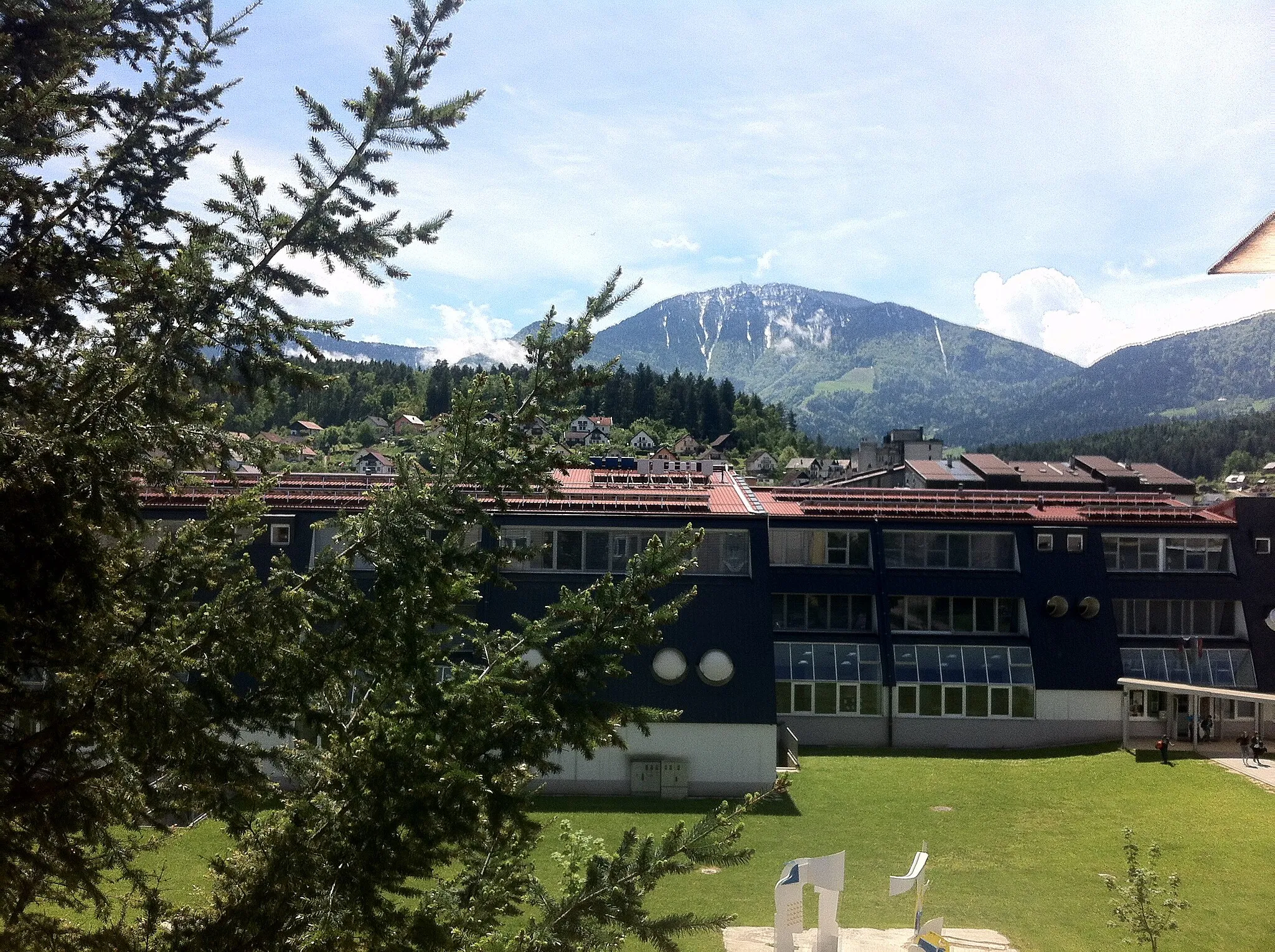
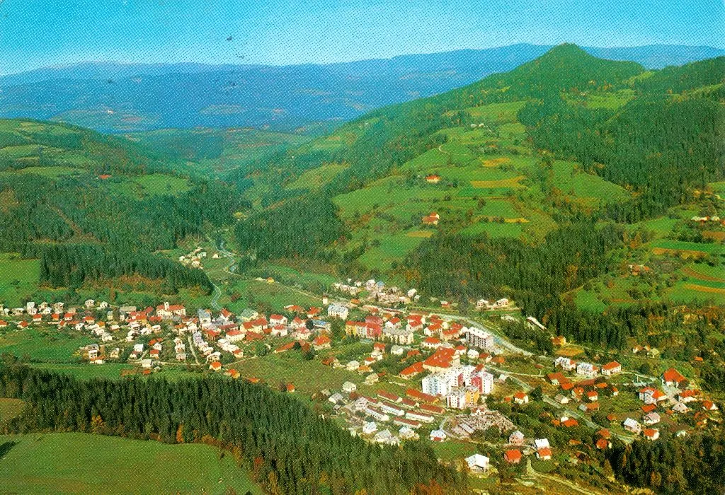
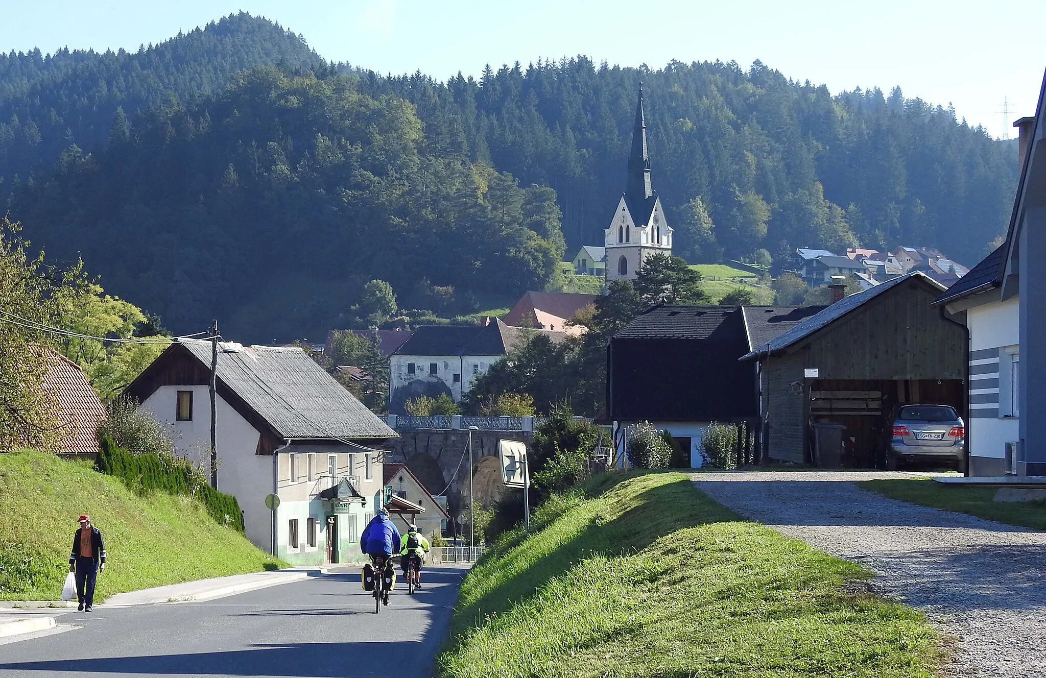
Start: Prevalje City centerPrevalje: Discovering scenic landscapes and historical sites in Prevalje.
Prevalje is a locality in the Vzhodna Slovenija region of Slovenia. Cyclists can enjoy riding on well-maintained roads that pass through scenic landscapes and picturesque villages. The area offers a mix of flat and hilly terrain, providing options for different skill levels. Prevalje is also home to several castles and historical sites, making it an interesting destination for both cycling and tourism. One well-known cycling spot nearby is Maribor Pohorje, which is a popular mountain biking destination.1 km
1 km
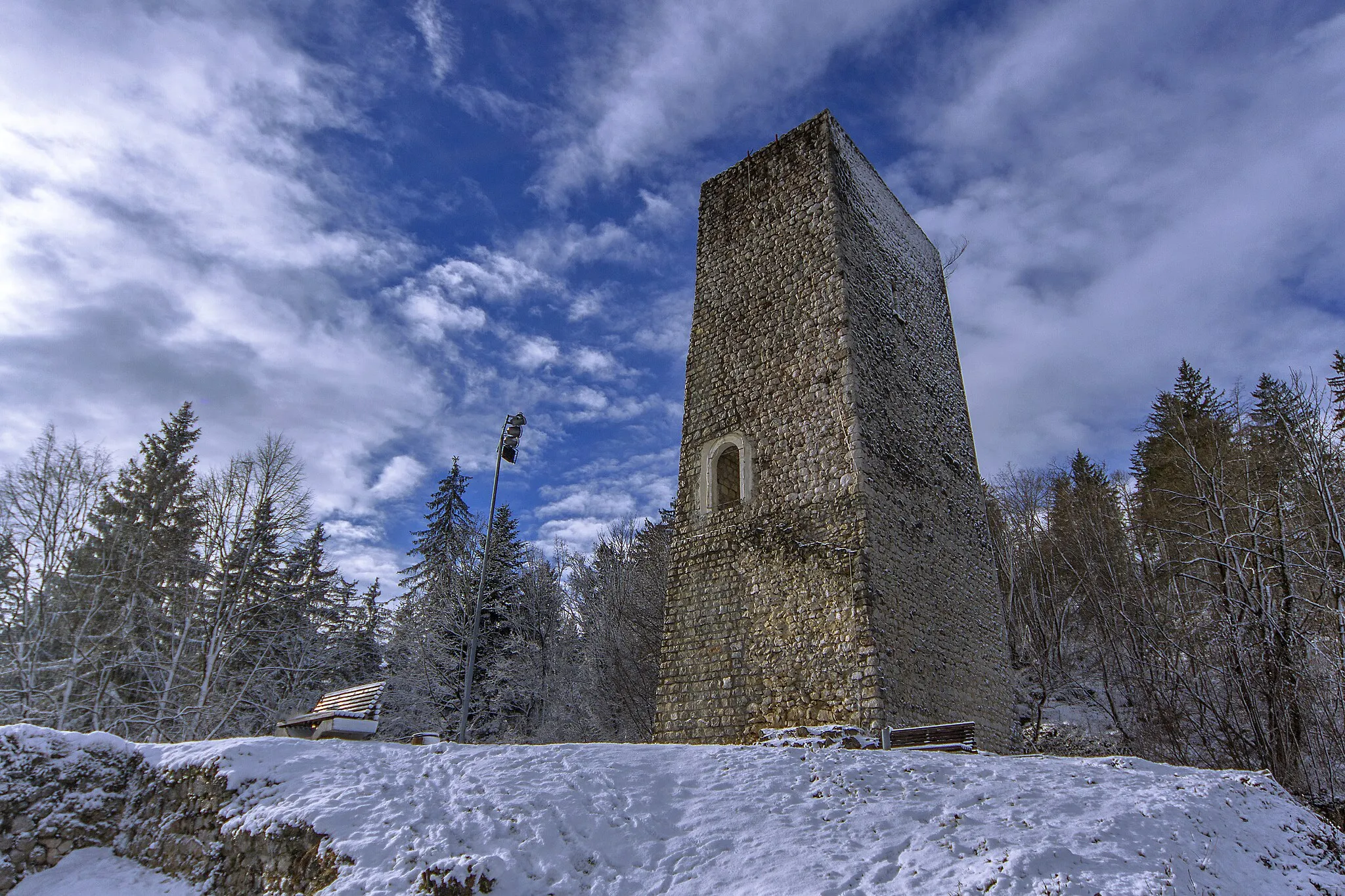
Komar585 mPeakKomar, the starting point, is a small Slovenian village known for its rural charm.
14 km
14 km
Kömmelgupf / Komeljski Vrh1065 mPeakKömmelgupf / Komeljski Vrh, at 14km mark, offers panoramic views and challenging terrains.
22 km
22 km
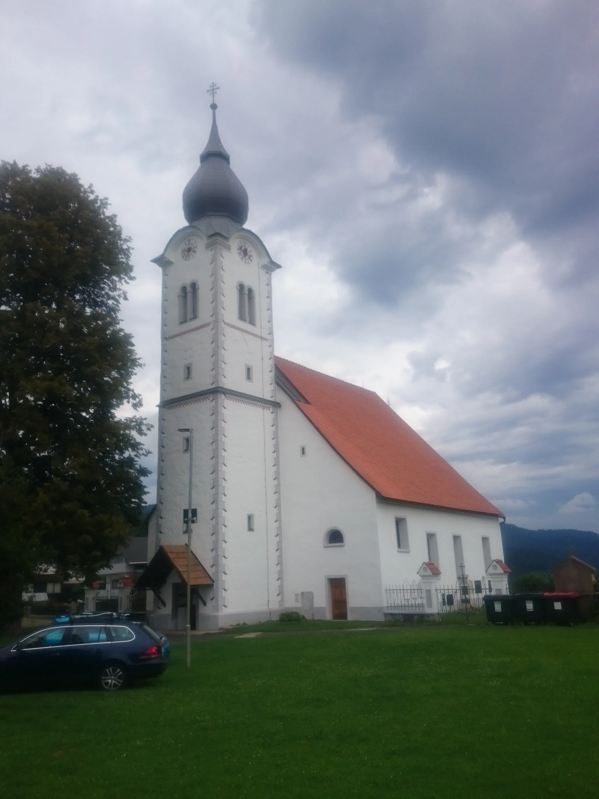
Schloss NeuhausCastleSchloss Neuhaus, at 22km mark, is a historic castle surrounded by beautiful nature.
29 km
29 km
Berg ob LeiflingHamletBerg ob Leifling, at 29km mark, offers thrilling descents and rewards cyclists with stunning landscapes.
41 km
41 km
Brinjeva gora723 mPeakBrinjeva gora, at 41km mark, is a hill that provides a satisfying challenge and fantastic views.
45 km
45 km
Finish: Prevalje City centerPrevalje: Discovering scenic landscapes and historical sites in Prevalje.
Cycling routes nearby: