Varied terrain and access to popular cycling spots
Cycling routes from Barajas de Madrid
Barajas de Madrid is a locality located in Comunidad de Madrid, Spain. For road and gravel cyclists, Barajas de Madrid offers a mix of terrain options, ranging from flat urban routes to challenging climbs in the nearby mountainous regions. The locality is home to the famous cycling spot known as Cerro de los Ángeles, which offers stunning views and a challenging ascent. Additionally, Barajas de Madrid provides convenient access to other popular cycling destinations in the Madrid area, such as Sierra de Guadarrama and Casa de Campo. With its variety of cycling routes and attractions, Barajas de Madrid is a great destination for both local and visiting cyclists.
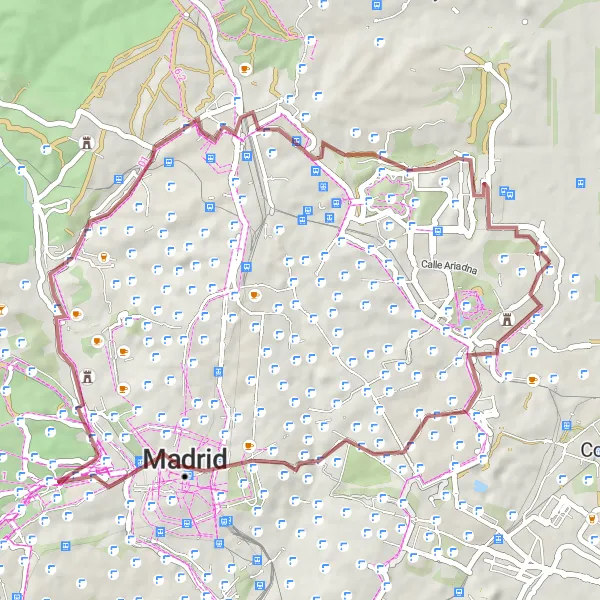
Barajas de Madrid Gravel Route
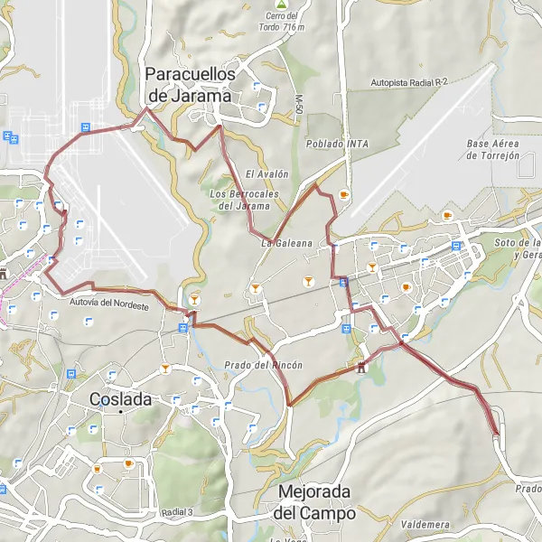
A scenic gravel route with a touch of history
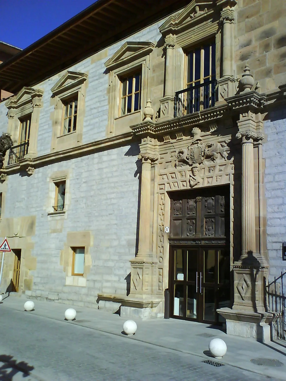
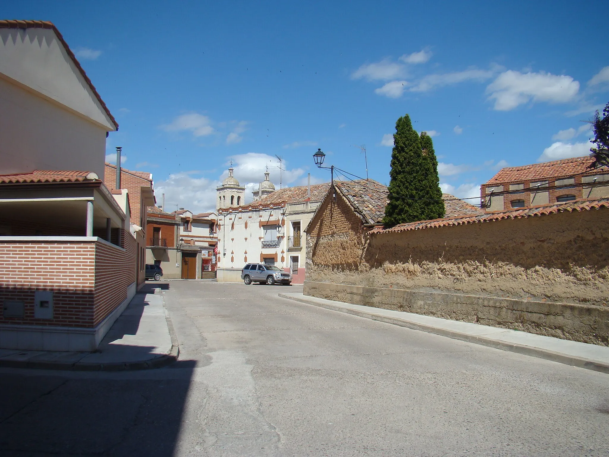
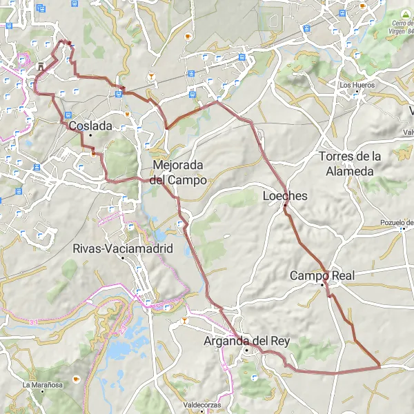
This 79 km gravel route starting near Barajas de Madrid takes you through beautiful countryside and historic landmarks. With a moderate ascent of 637 meters, it offers a challenging ride for well-trained amateurs. The route passes highlights such as the Palacio de la Aldovea, a stunning palace with lush gardens, and the picturesque town of Loeches. Arganda del Rey, Velilla de San Antonio, and Barajas are also worth a visit along the way. Overall, this distinctive route allows you to explore the natural and cultural beauty of the region.
A scenic road cycling route with a magnificent view from Mirador Barajas T4.
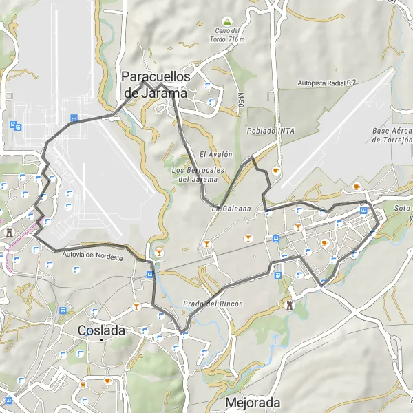
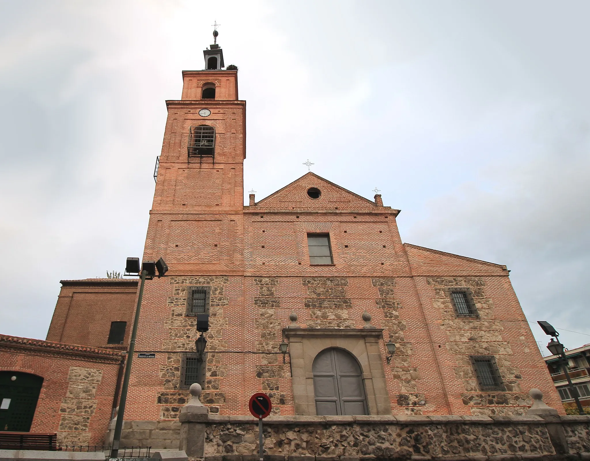
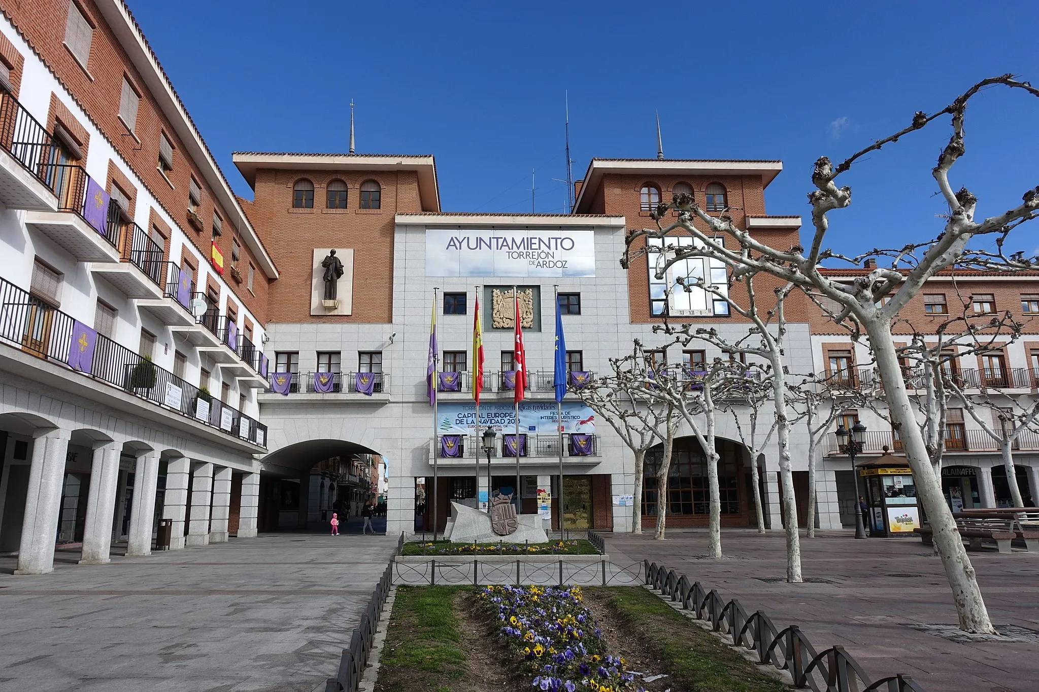
This circular road route starts near Barajas de Madrid and offers scenic views and a moderately challenging terrain. With a distance of 44 km and an ascent of 275 meters, it is suitable for well-trained amateurs. The route passes through Paracuellos de Jarama, Torrejón de Ardoz, and Castillo de la Alameda.
Conquer challenging climbs and enjoy spectacular views
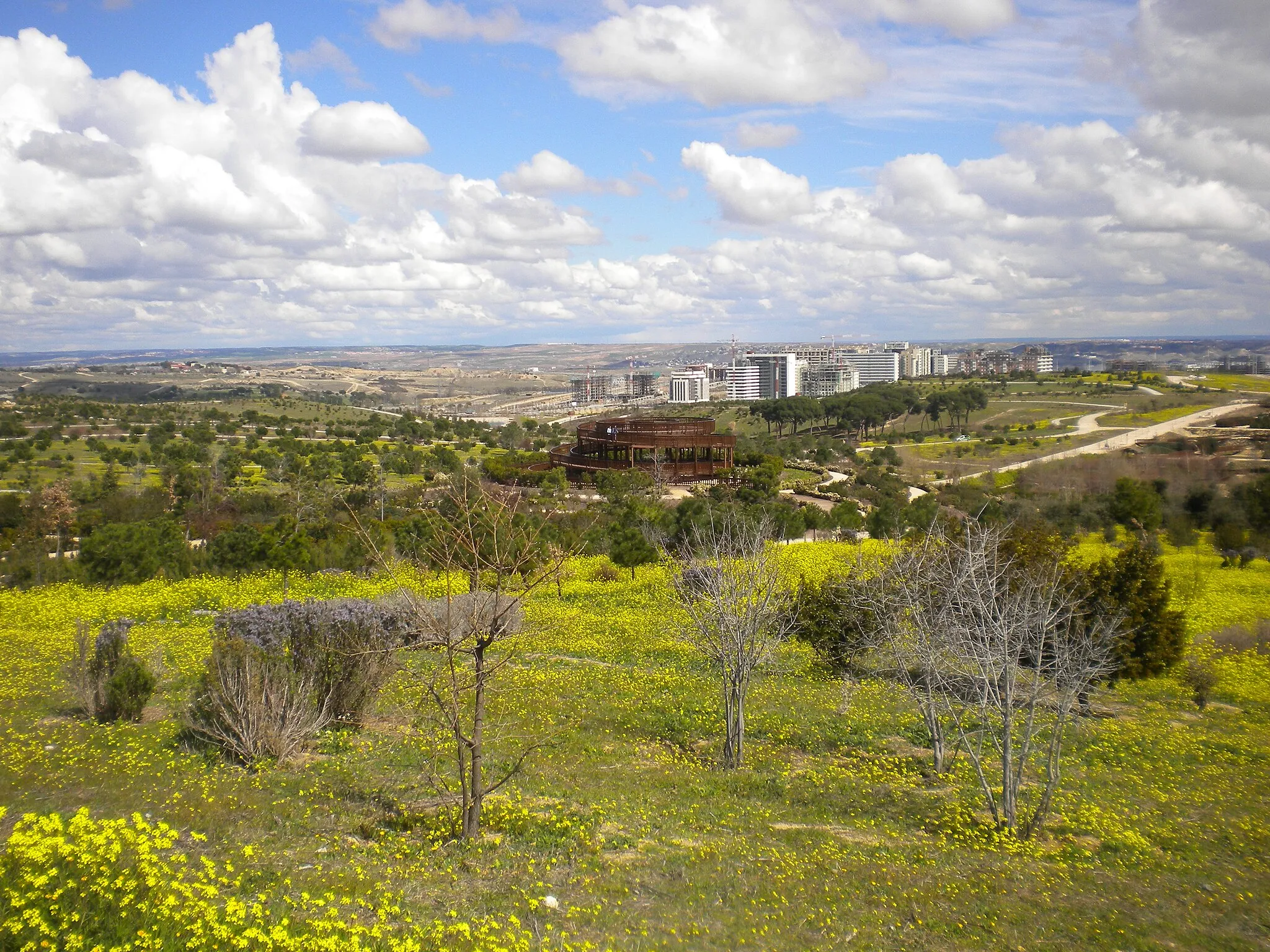
Embark on a thrilling 93 km gravel adventure near Barajas de Madrid. With an ascent of 1140 meters, this route is perfect for experienced amateurs seeking a demanding challenge. Start by exploring the vibrant streets of Barajas before tackling the hilly terrain of Hortaleza. Valpalomero Vista Noroeste rewards with breathtaking views, while the Antiguo Puente del Grajal provides a unique spot to rest. Admire the impressive Antiguo depósito de agua before reaching Mirador alto del parque de Valdebebas and finally concluding the route at Mirador Barajas T4.
Explore scenic gravel trails near Barajas, with significant historical and architectural highlights.
This gravel route covers a distance of 46 km with an elevation gain of 342 meters, offering a mix of gravel trails and paved roads. Starting in Barajas, the route passes through Mirador Barajas T4, Torrejón de Ardoz, and Palacio de la Aldovea. Suitable for gravel enthusiasts, this route allows you to discover lesser-known areas near Madrid.
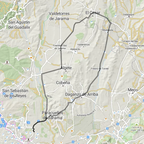
A picturesque road trip through spa towns and rural landscapes
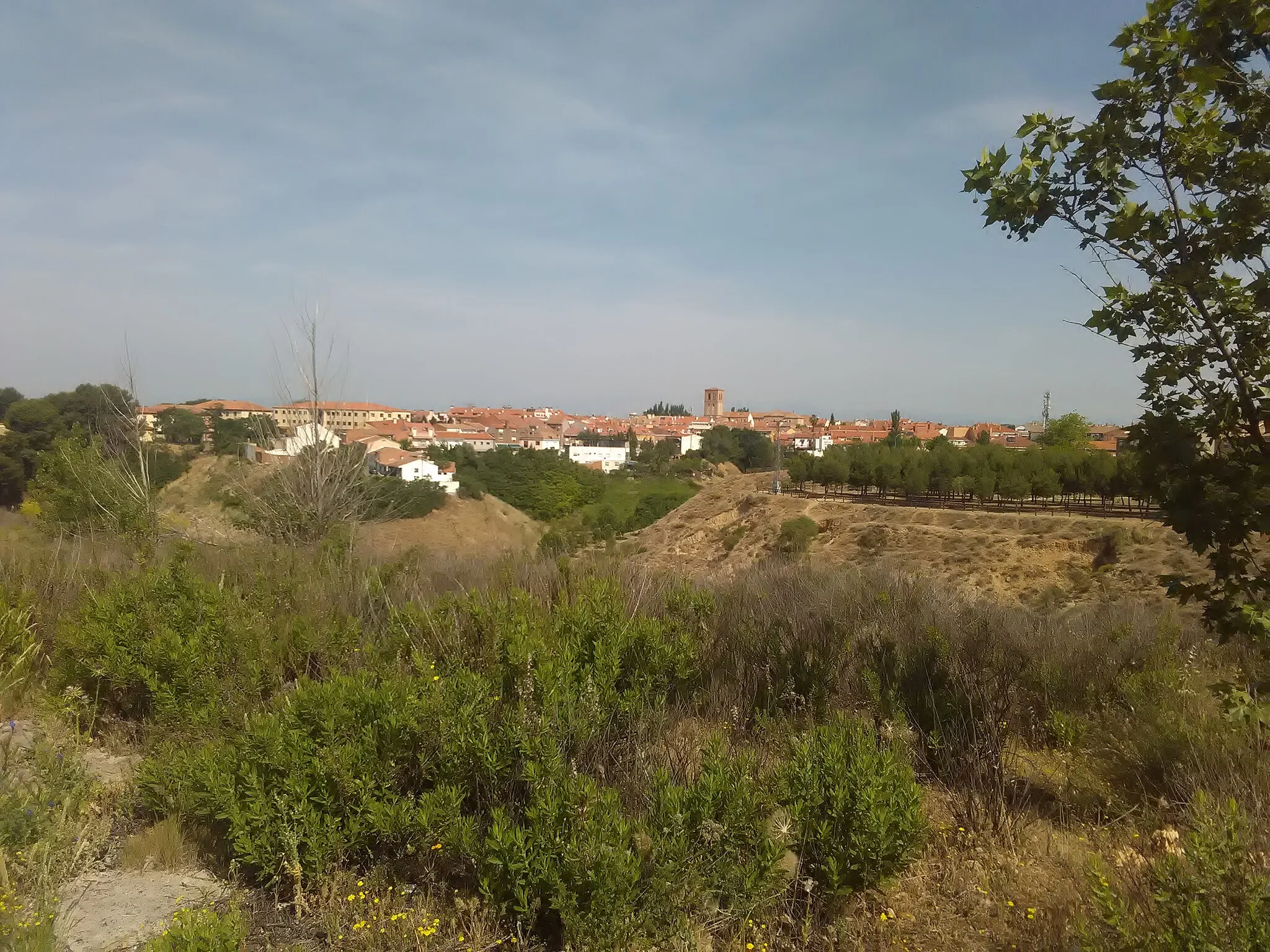
Uncover the natural beauty of the region with this scenic 73 km road route near Barajas de Madrid. With an ascent of 544 meters, it offers a moderate challenge suitable for experienced amateurs. The route takes you through the charming town of Belvis del Jarama, known for its historic buildings. El Casar and Fresno de Torote provide tranquil spots to rest and soak up the serene ambiance. Paracuellos de Jarama showcases its rich history, while Mirador Barajas T4 offers a stunning view as you conclude the trip.
Embark on a thrilling gravel bike adventure through diverse landscapes and cultural highlights.
This gravel route spans 55 km with an ascent of 638 meters, offering a mix of off-road trails and scenic roads. Starting in Barajas, the route passes by San Blas - Canillejas, La Atalaya, Puente del Matadero, Cerro de las Canteras, Faro de Moncloa, Mirador alto del parque de Valdebebas, Toboganes gigantes, and Mirador Barajas T4. Suitable for gravel bike enthusiasts, this adventure allows you to explore the outskirts of Madrid.

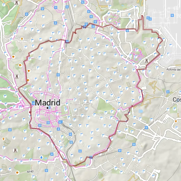
Embark on a scenic road adventure through the countryside and picturesque towns near Madrid.
This road route offers a scenic adventure through picturesque towns, rolling hills, and beautiful landscapes. With a total distance of 117 km and an ascent of 1097 meters, this route is suitable for experienced cyclists. Starting near Barajas de Madrid, the route passes through Mirador Barajas T4, Paracuellos de Jarama, Open air Sculpture Museum, Villar del Olmo, Carabaña, Valdilecha, Arganda del Rey, San Fernando de Henares, and Barajas.

Experience breathtaking views and challenging climbs
Get ready for a thrilling road cycling adventure near Barajas de Madrid. Covering a distance of 72 km with an ascent of 718 meters, this route is suitable for well-trained amateurs seeking a challenging ride. The Villa de Vallecas offers picturesque views, while La Atalaya provides a refreshing spot for rest. Carabanchel and Cerro de Garabitas are ideal locations for those looking for some climbing action. Explore Fuencarral and soak in its lively atmosphere before finishing the route at Mirador Barajas T4.
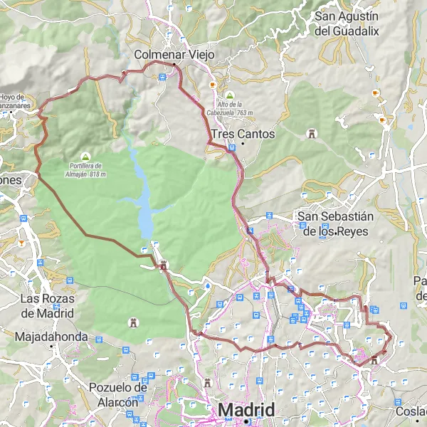
Embark on a scenic gravel expedition to ancient landmarks
Step into history with this 53 km gravel expedition starting near Barajas de Madrid. With an ascent of 573 meters, the route offers a moderate challenge for well-trained amateurs. Discover the charming Ermita de San Pelayo y San Isidoro, an ancient hermitage that dates back centuries. Tornado provides an exciting off-road section, while the Teleférico de Madrid offers unique views as you pass by. Mirasierra delights with its tranquil surroundings. Finish the route at the mesmerizing Mirador Barajas T4, where breathtaking vistas await.

Embark on an epic cycling adventure through various towns, villages, and natural landscapes.
This challenging road route covers a total distance of 111 km and an ascent of 987 meters. Starting near Barajas de Madrid, the route takes you through Mirador Barajas T4, Paracuellos de Jarama, Camarma de Esteruelas, Villanueva de la Torre, Los Santos de la Humosa, El Gurugú, San Fernando de Henares, and Barajas. It is suitable for experienced cyclists looking to explore Madrid's diverse landscapes.
Cycling routes nearby:


Nearby regions: