Leisurely Cycling in Extremadura
Cycling routes from Alcuescar
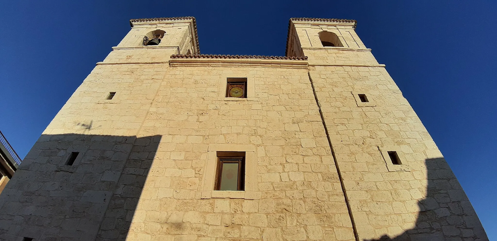
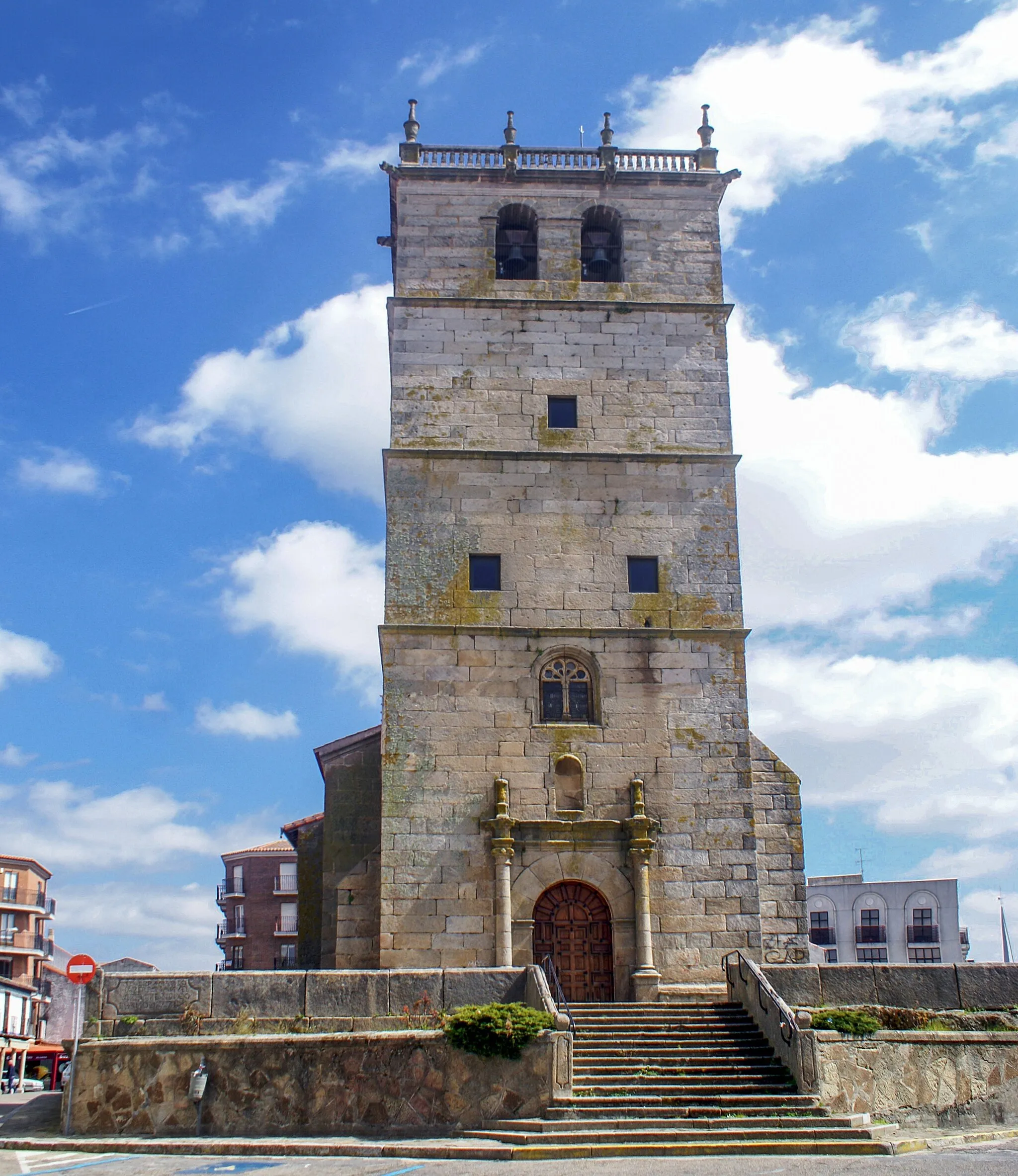
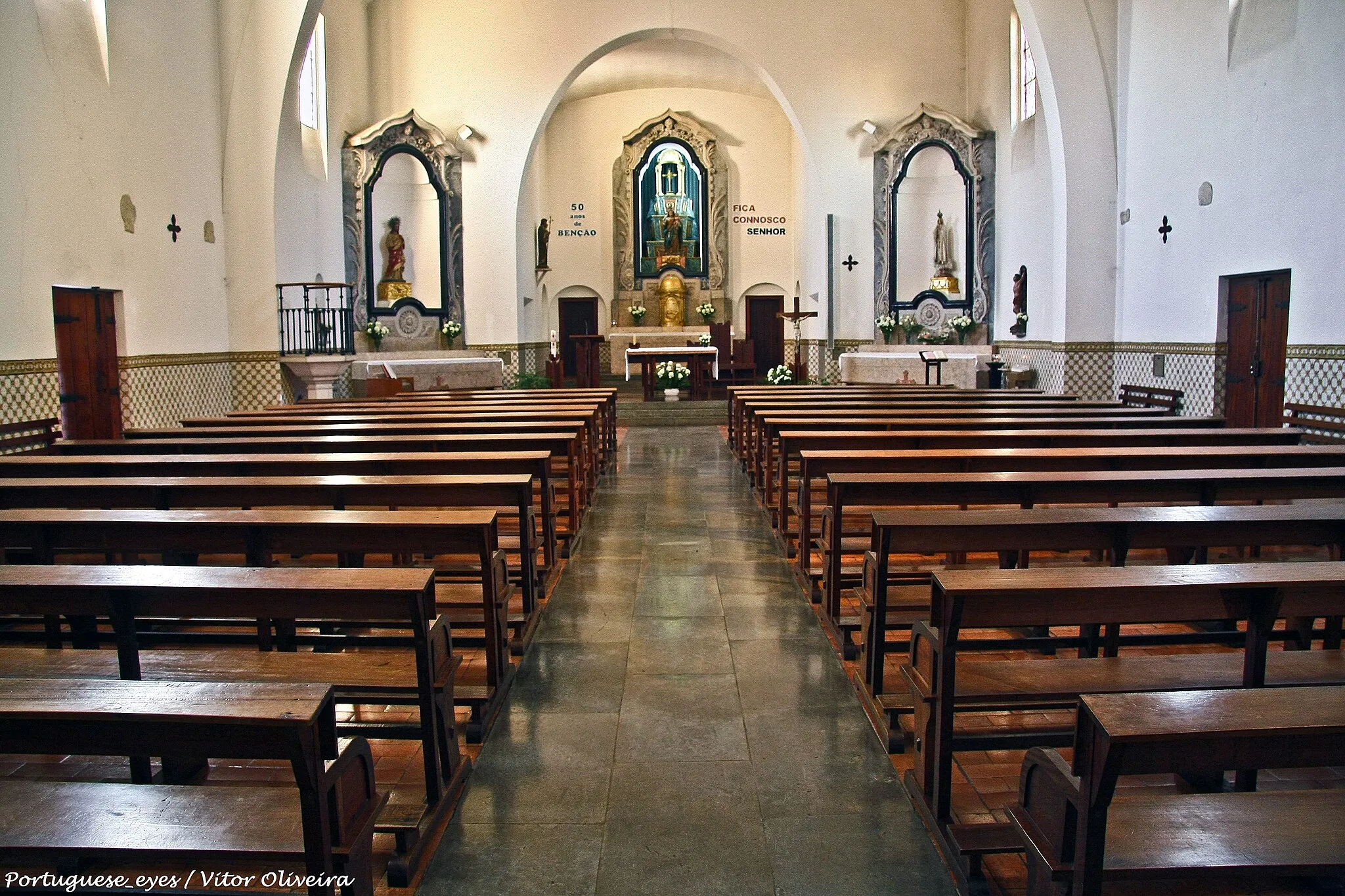
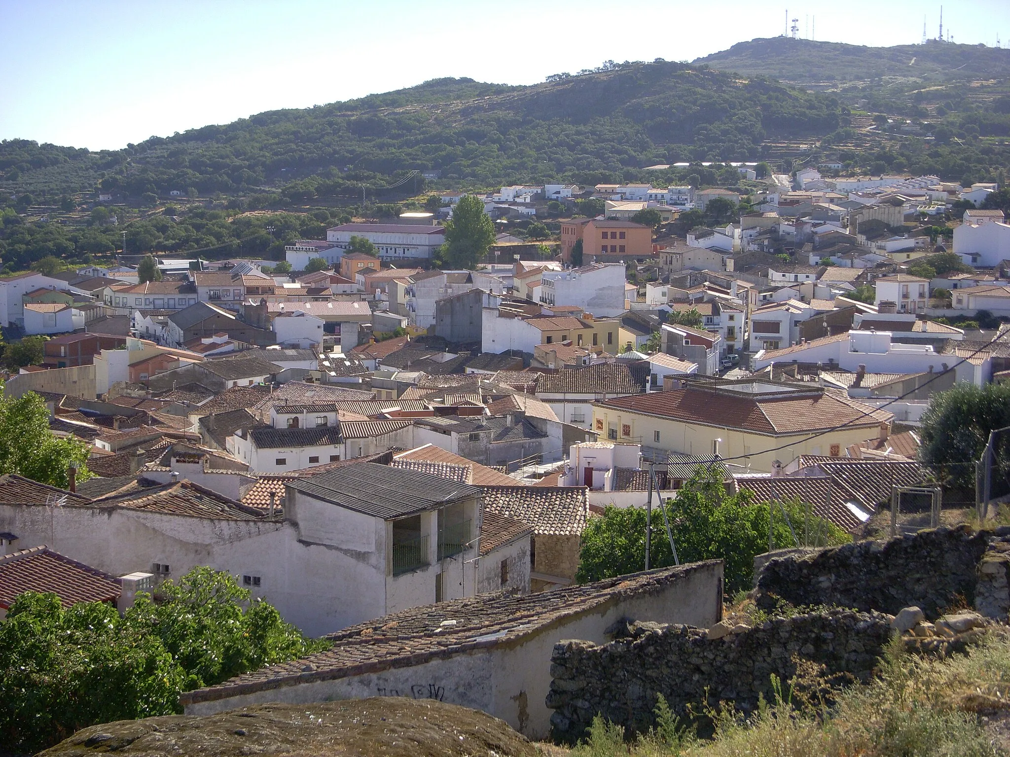
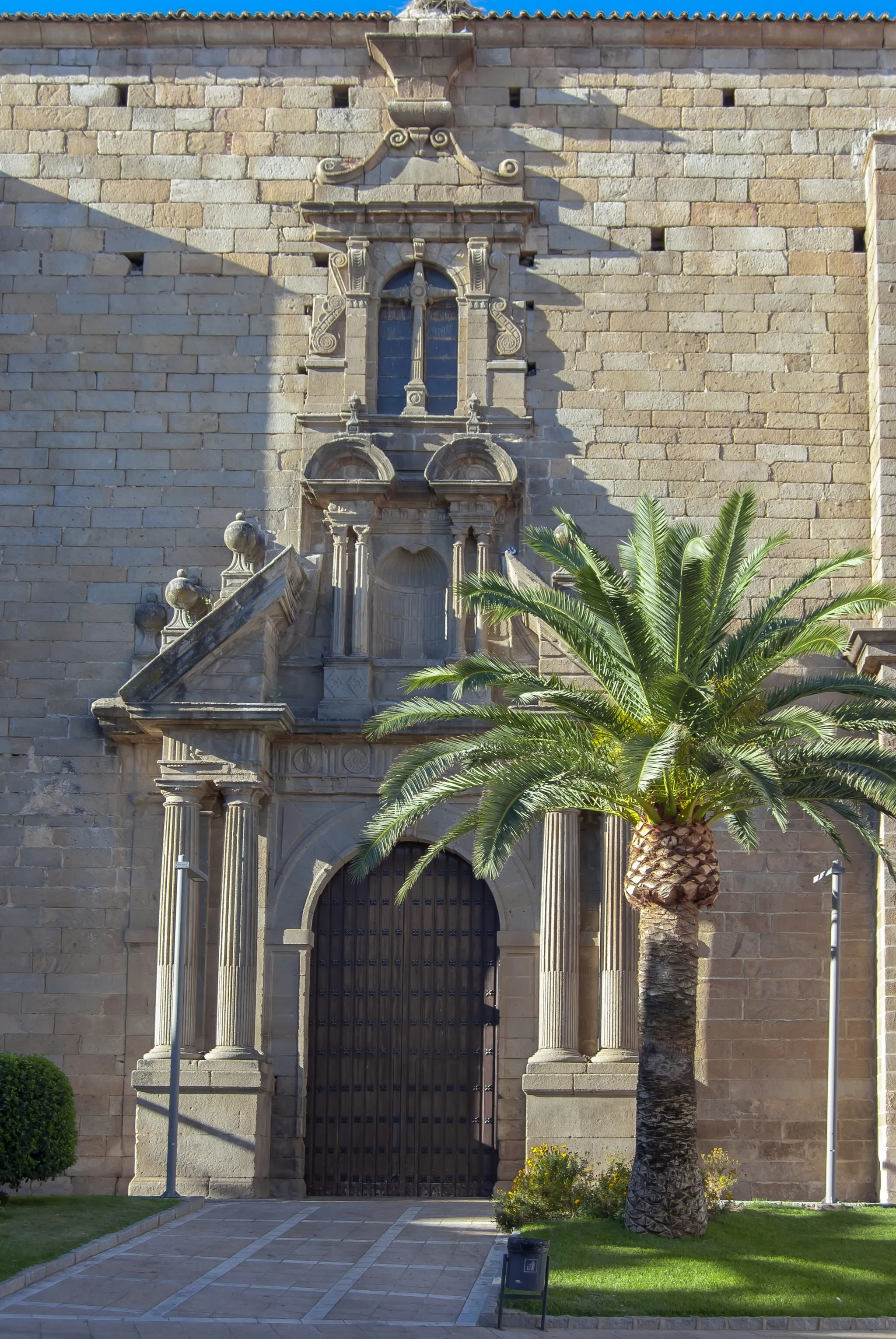
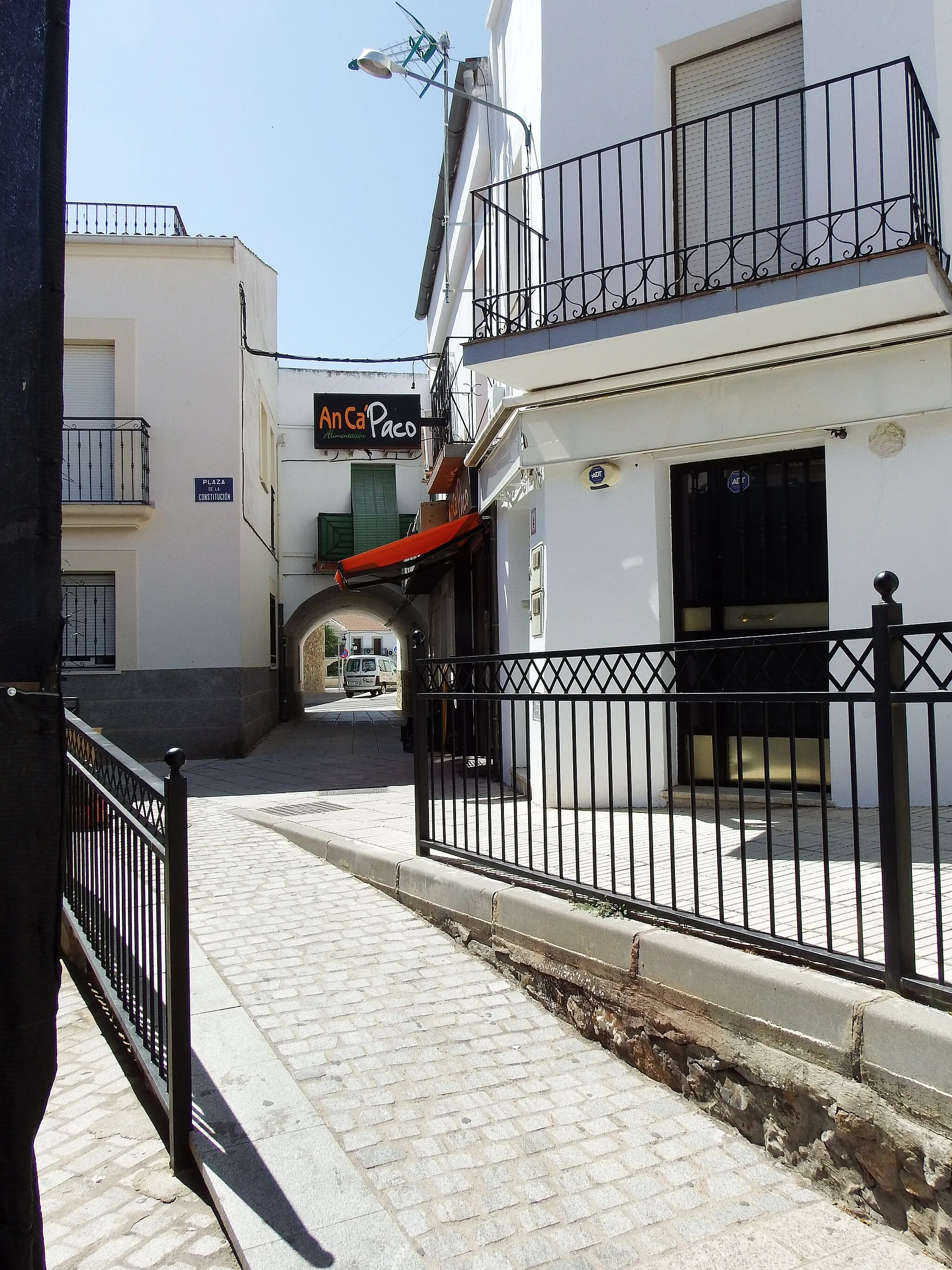
Alcuéscar is a locality located in Extremadura, Spain. As a cyclist, Alcuéscar offers limited cycling opportunities, with the region being more suitable for leisurely rides due to its hilly terrain and scenic countryside. While there may not be any famous cycling-related spots or well-known climbs nearby, Alcuéscar still provides a pleasant cycling experience for those who enjoy exploring rural areas on two wheels.
Discover the natural beauty surrounding Alcuéscar
Embark on this 104 km gravel route with an ascent of 677 m to explore the beautiful landscapes surrounding Alcuéscar. Along the way, you'll encounter highlights such as Valdetorres, a charming village known for its traditional architecture, Valverde de Mérida, with its historical sites and cultural heritage, and Aljucén, a tranquil town with stunning views. The route ends back in Alcuéscar, where you can enjoy the town's unique charm and hospitality.
Road cycling loop from Alcuéscar
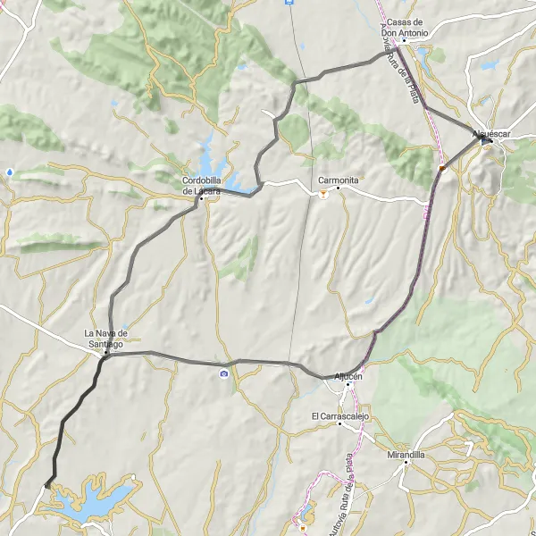
Experience the beauty of Alcuéscar on this road cycling adventure
Embark on this 94 km road cycling loop with an elevation gain of 629 m starting from Alcuéscar. Begin your journey with a visit to the charming town of Alcuéscar itself, and then head towards Aljucén, where you can enjoy panoramic views and picturesque landscapes. Discover the fascinating Dolmen de Lácara, a prehistoric megalithic monument, before passing through La Nava de Santiago and Cordobilla de Lácara, where history and culture await. Finally, make your way to Casas de Don Antonio, a delightful village that showcases rural life in Extremadura.
Embark on a thrilling gravel adventure through the natural beauty of Extremadura
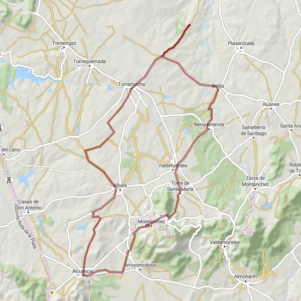
Escape the beaten path and explore the natural beauty of Extremadura on this 75-kilometer gravel cycling route starting near Alcuéscar. With an ascent of 805 meters, this route is suitable for experienced cyclists seeking a challenging adventure. From the historic town of Alcuéscar to the scenic landscapes of Torremocha and Montánchez, each highlight along the route offers a unique glimpse into the diverse flora and fauna of the region. Discover hidden gems like the village of Albalá, nestled amidst rolling hills and olive groves. As you cross rivers and conquer steep gradients, you'll experience the thrill of off-road cycling surrounded by unspoiled natural beauty.
Explore the picturesque surroundings of Alcuéscar on this road ride
Enjoy a scenic 45 km road ride with an ascent of 401 m starting from Alcuéscar. Immerse yourself in the beauty of nature as you cycle through the charming town of Albalá, known for its peaceful atmosphere and beautiful landscapes. Continue on to Valdefuentes, a village famous for its traditional architecture and rural charm, before reaching Arroyomolinos, where you'll be captivated by its stunning views and natural landscapes.
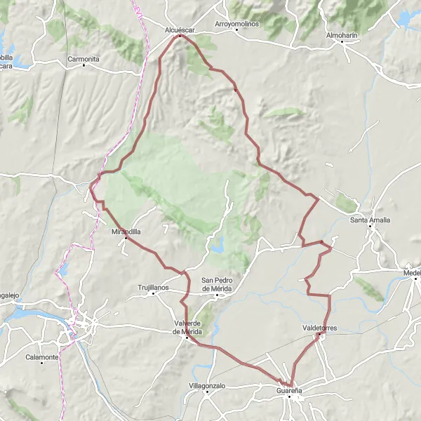
Explore the off-road beauty around Alcuéscar
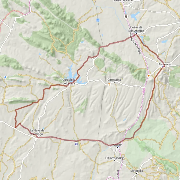
Discover the scenic countryside near Alcuéscar on this gravel route. With a total distance of 84 km and an elevation gain of 689 m, this route offers a challenging but rewarding cycling experience. Take in the highlights along the way, including the picturesque town of La Nava de Santiago, the historic village of Cordobilla de Lácara, the charming Casas de Don Antonio, and return to the starting point in Alcuéscar.
Embark on a thrilling gravel ride near Alcuéscar
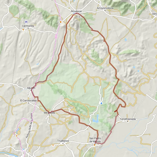
This 78 km gravel route with an elevation gain of 655 m takes you on an exciting adventure near Alcuéscar. Explore the picturesque San Pedro de Mérida, known for its scenic beauty and cultural heritage. Journey further to Aljucén, a charming town with breathtaking views, before returning to Alcuéscar, where you can unwind and soak in the tranquility of this beautiful region.
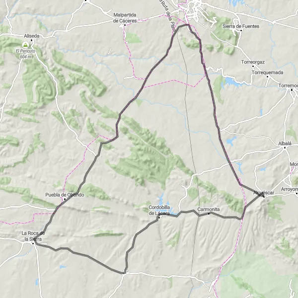
Embark on a journey through history, exploring ancient fortresses in Alcuéscar
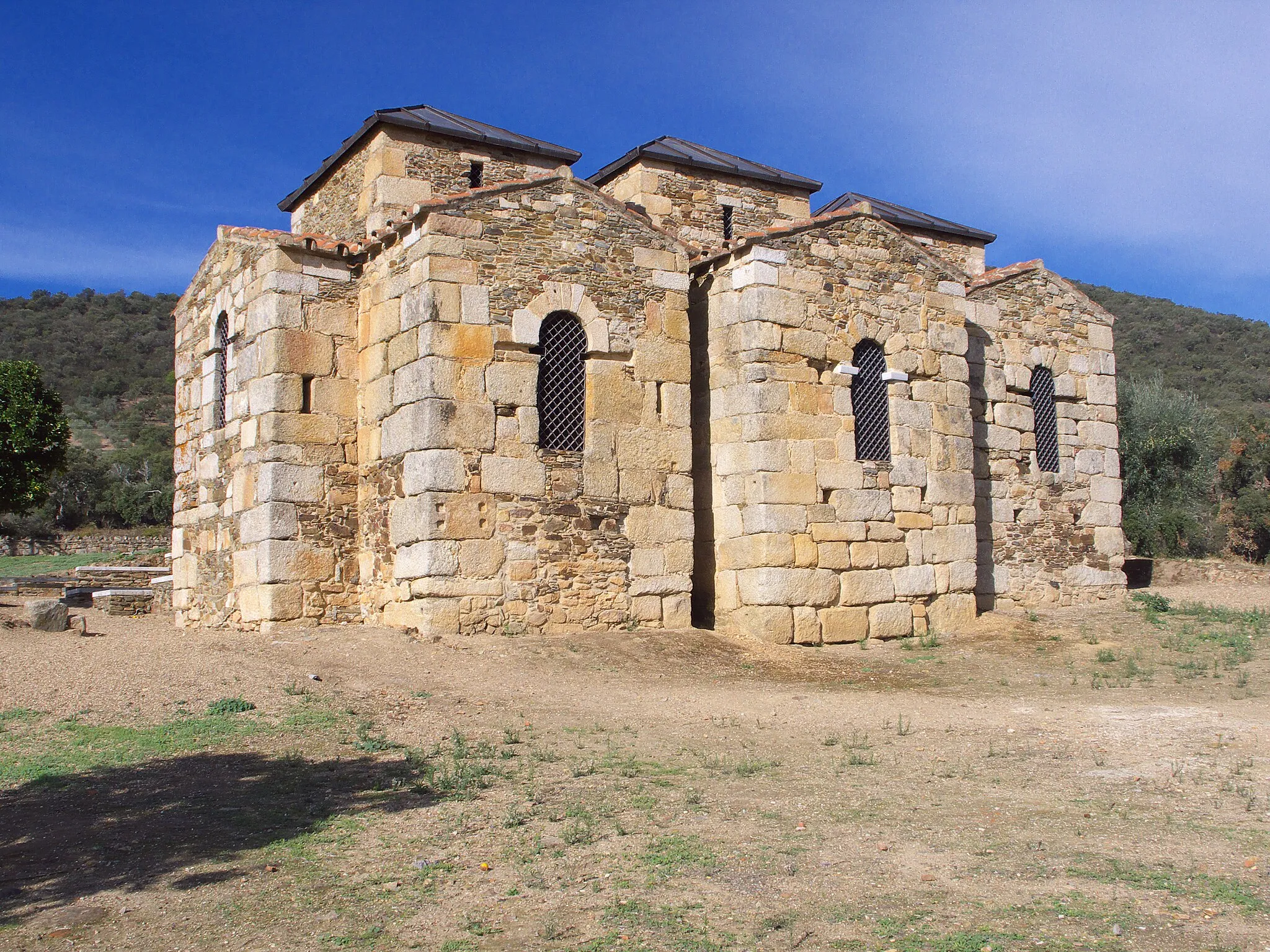
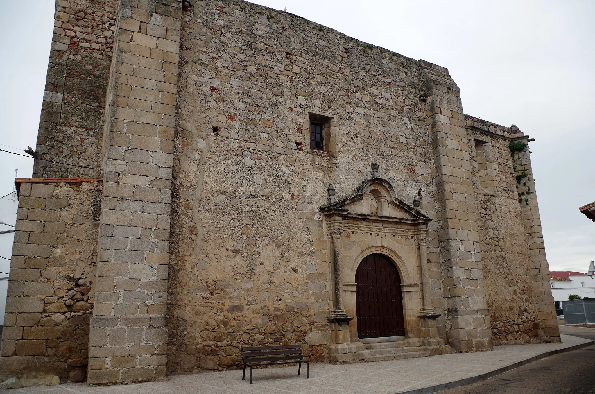
This round-trip cycling route starting near Alcuéscar takes you on a journey through time as you visit ancient fortresses and historical sites. With a total distance of 135 kilometers and an ascent of 1,069 meters, this road route is suitable for well-trained amateur cyclists. The route offers stunning views of the Extremadura countryside and allows you to experience the rich heritage of the region. From Carmonita to Alcuéscar, each highlight along the route has its own unique story to tell, making this a truly distinct and memorable cycling experience.
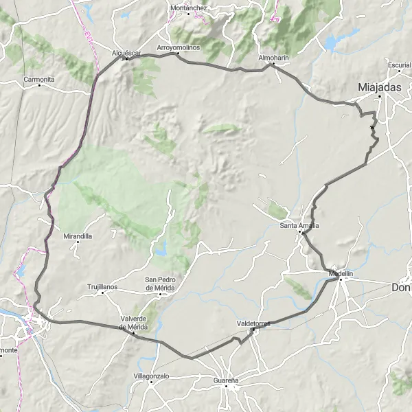
Embark on a journey through Spanish history on this captivating road cycling route
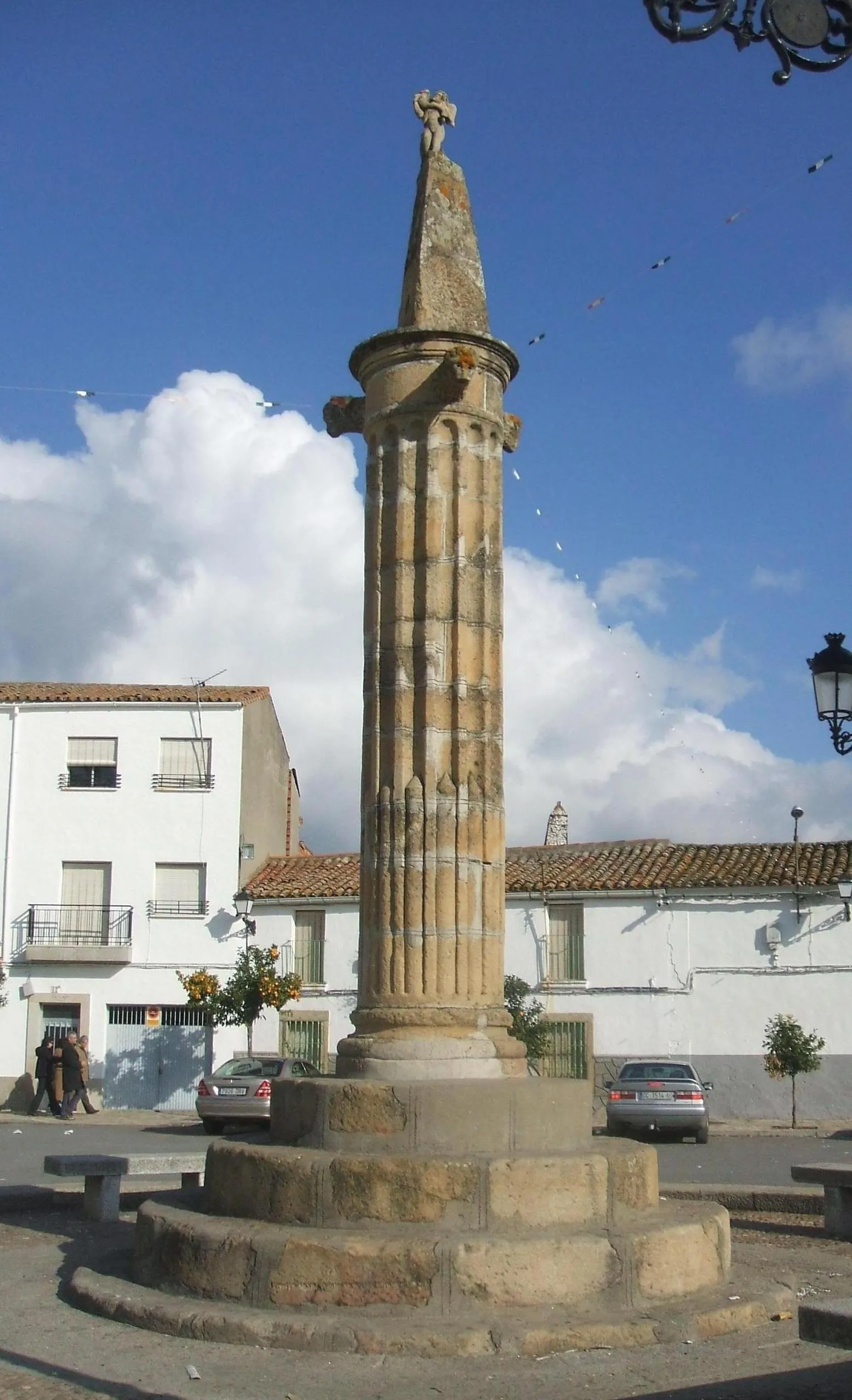
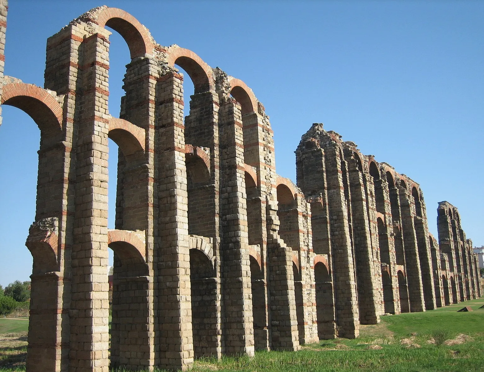
Step into the pages of Spanish history on this 128-kilometer road cycling route starting near Alcuéscar. With an ascent of 655 meters, the route offers a moderate challenge suitable for well-trained amateur cyclists. Explore the historical sites and landmarks that dot the route, including the impressive fortress of Medellín and the picturesque town of Valverde de Mérida. As you cycle through pristine countryside and charming villages, you'll gain a deeper appreciation for the rich cultural heritage of the region. Admire the panoramic views from Arroyomolinos and be captivated by the ruins of Psiquiátrico. The round-trip ends in Alcuéscar, where you can celebrate your journey and reflect on the significant history you've witnessed.
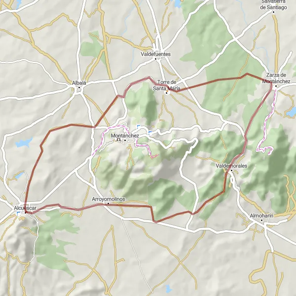
Discover Extremadura's quaint villages and hidden gravel paths on this cycling route
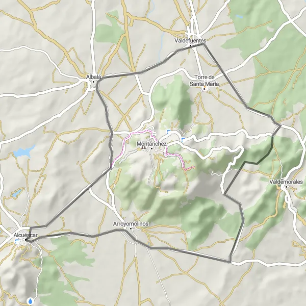
Escape the busy roads and immerse yourself in the peaceful beauty of Extremadura on this 48-kilometer gravel cycling route starting near Alcuéscar. With an ascent of 460 meters, this route is perfect for cyclists looking for a tranquil and bucolic adventure. As you pedal through picturesque villages like Torre de Santa María and Zarza de Montánchez, you'll have the opportunity to witness the traditional way of life in the region. Take in the breathtaking views from Arroyomolinos and savor the tranquility of rural surroundings. This route is ideal for nature lovers and those seeking an off-the-beaten-path experience.
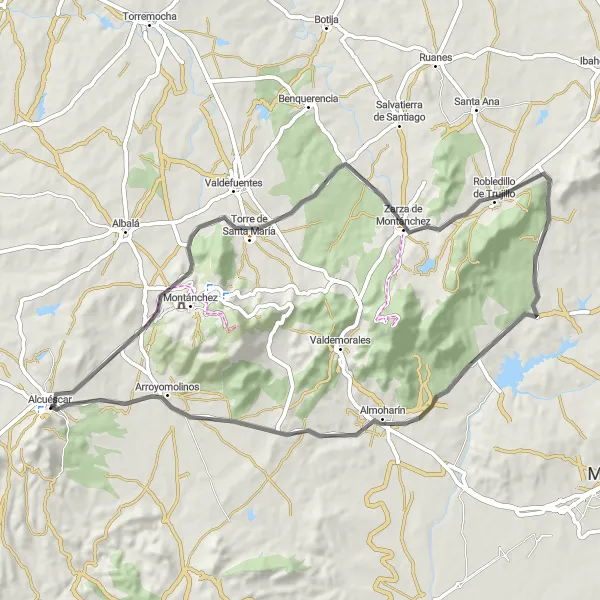
Discover the peaceful beauty of Extremadura's villages on this road cycling route
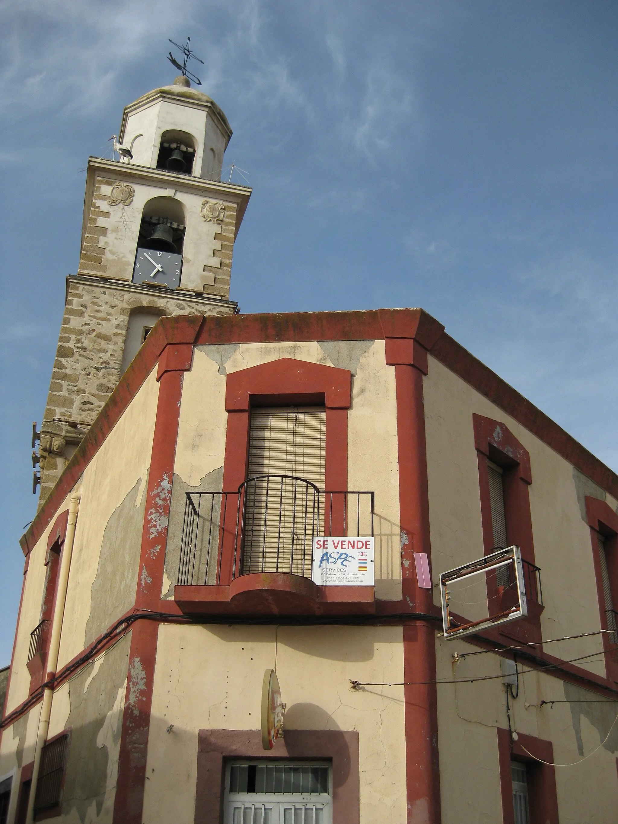
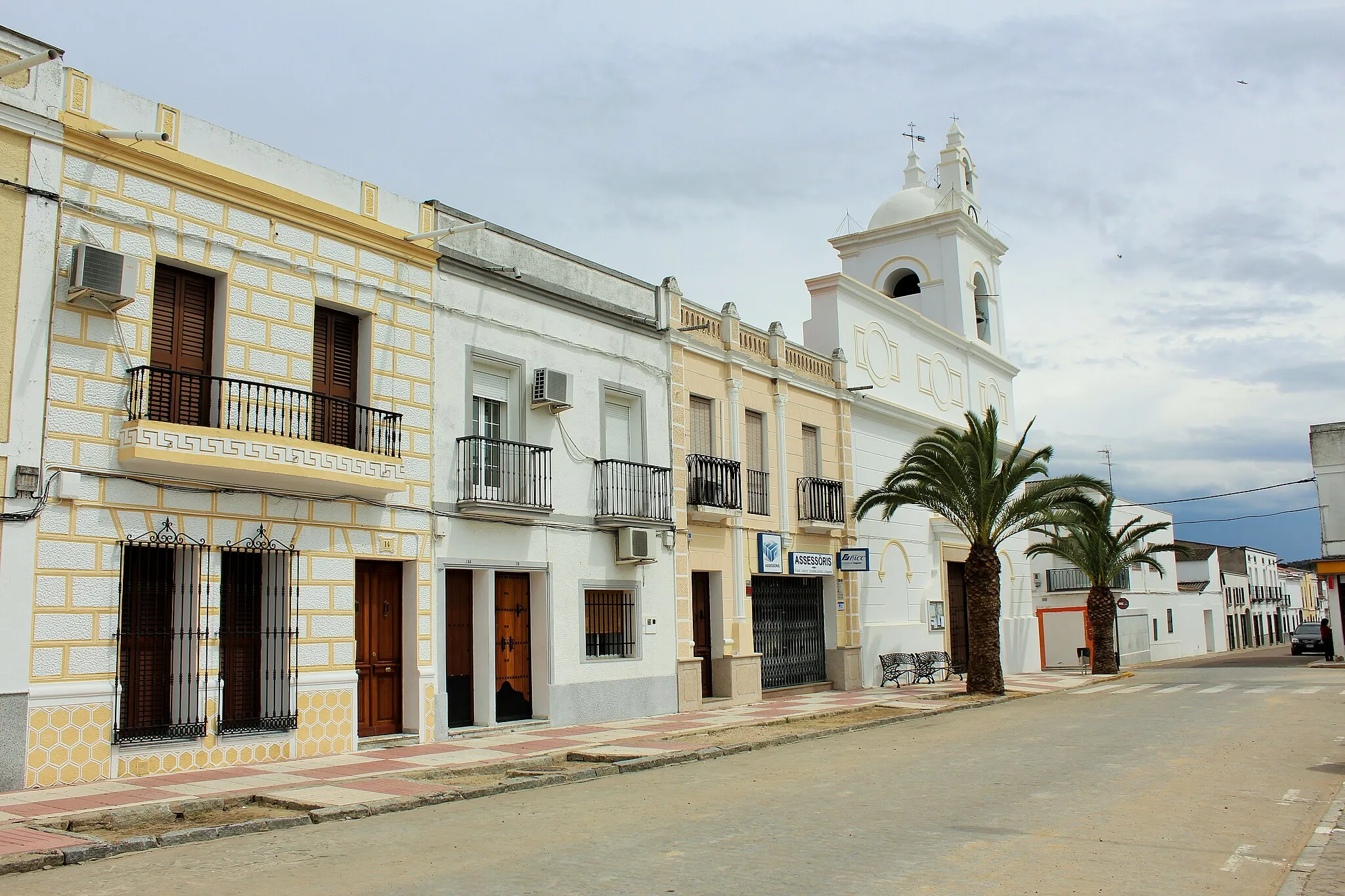
Experience the tranquil beauty of Extremadura's villages on this 67-kilometer road cycling route starting near Alcuéscar. With a total ascent of 562 meters, the route offers a moderate challenge suitable for well-trained amateur cyclists. From the historic town of Alcuéscar to the charming village of Arroyomolinos, each highlight along the route provides a unique insight into the local culture and heritage. Take a moment to visit the Torre de Santa María and enjoy panoramic views of the surrounding countryside. Explore Robledillo de Trujillo and marvel at its well-preserved traditional architecture. As you pedal through Almoharín and Benquerencia, you'll be enchanted by the picturesque landscapes and warm hospitality of the locals.
Cycling routes nearby:

Nearby regions: