![Cover image](https://images.tarmacs.app/cycling-routes/covers/spain/extremadura/torreorgaz-4.webp)
Cycling in Torreorgaz: Picturesque rides through the countryside.
Cycling routes from Torreorgaz
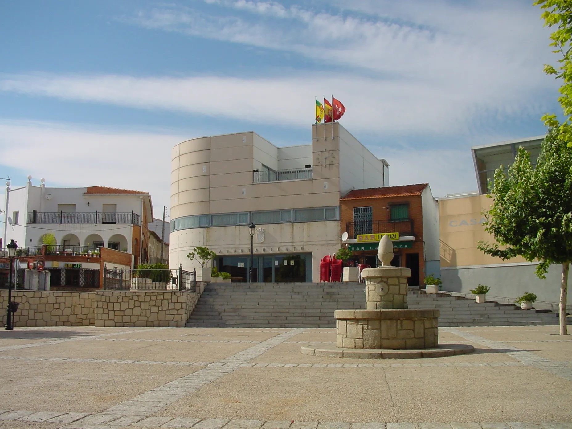
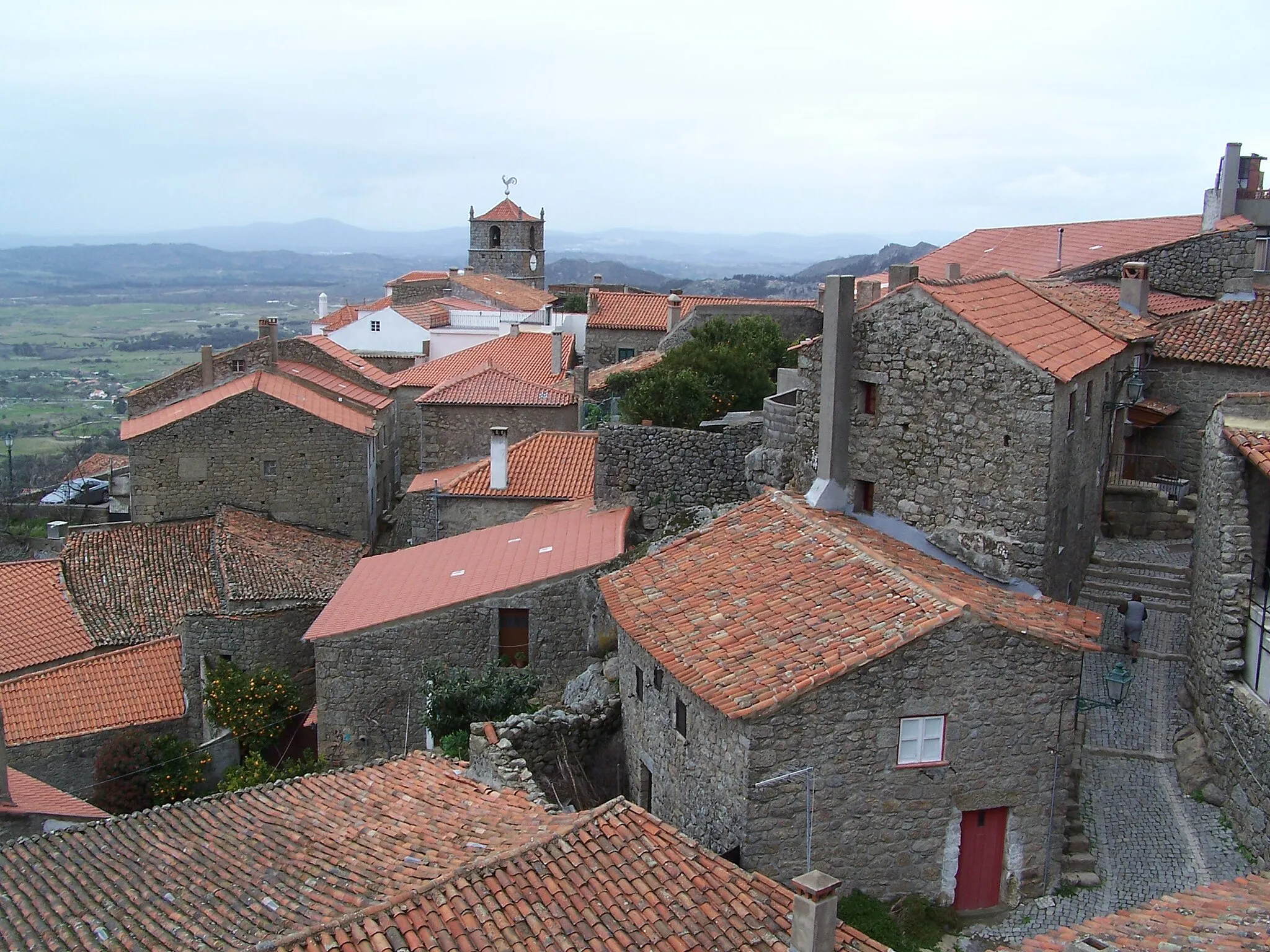
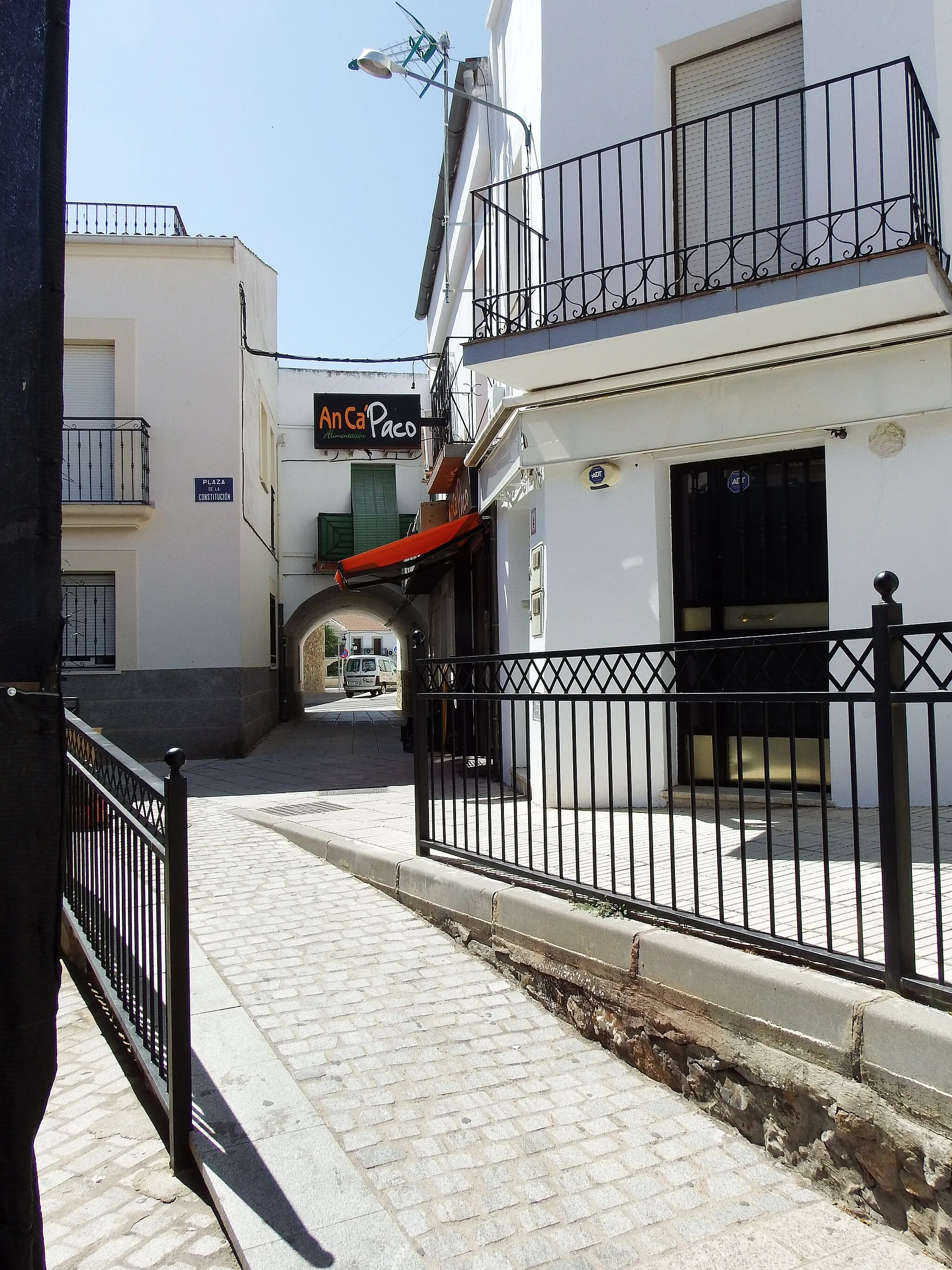
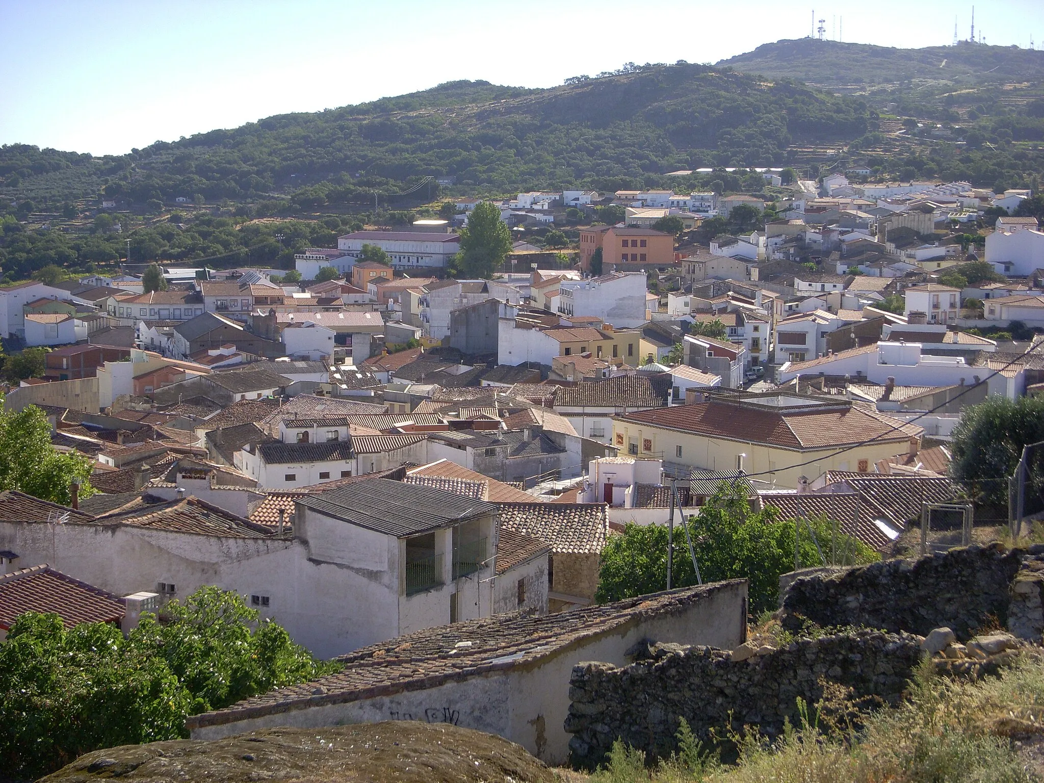
Torreorgaz is a locality in Extremadura, Spain. It offers decent cycling routes for both road and gravel cyclists. The town has roads suitable for enjoyable rides through the countryside. While there aren't any famous cycling-related spots or well-known climbs nearby, Torreorgaz provides a peaceful and picturesque environment for cyclists to explore on two wheels.
![Map miniature of "Botija Road Cycling Adventure" cycling inspiration in Extremadura, Spain. Generated by Tarmacs.app cycling route planner](https://images.tarmacs.app/cycling-routes/routemaps/600/spain/extremadura/torreorgaz/road/331773.webp)
Immerse yourself in the scenic countryside on this road cycling adventure to Botija
Experience the beauty of the Extremadura region on the Botija Road Cycling Adventure. This 108-kilometer route offers 618 meters of ascent, making it suitable for intermediate level cyclists. Throughout the journey, you will encounter picturesque landscapes, charming villages, and cultural highlights.
Gravel Adventure
![Map miniature of "Gravel Adventure" cycling inspiration in Extremadura, Spain. Generated by Tarmacs.app cycling route planner](https://images.tarmacs.app/cycling-routes/routemaps/600/spain/extremadura/torreorgaz/gravel/331747.webp)
Unleash your adventurous side with this scenic gravel cycling route
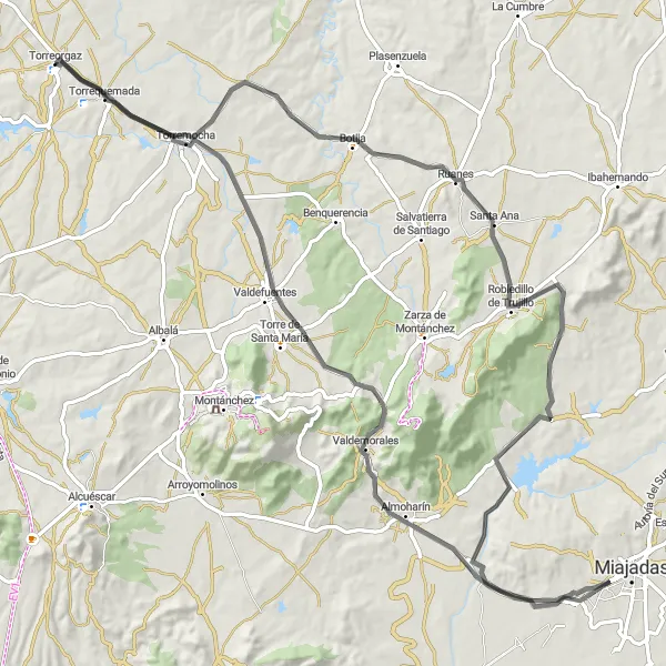
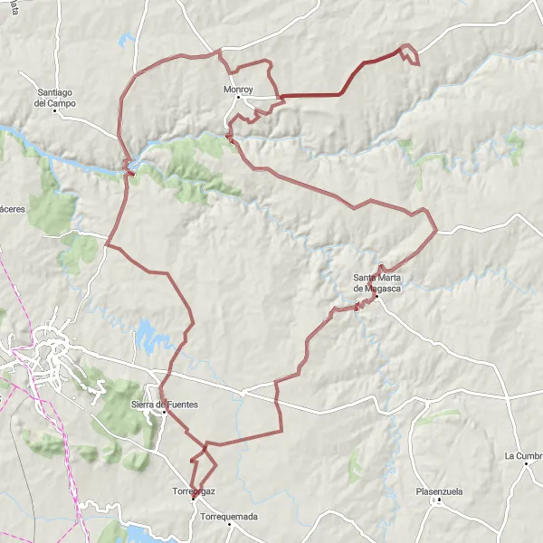
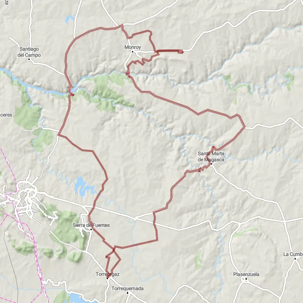
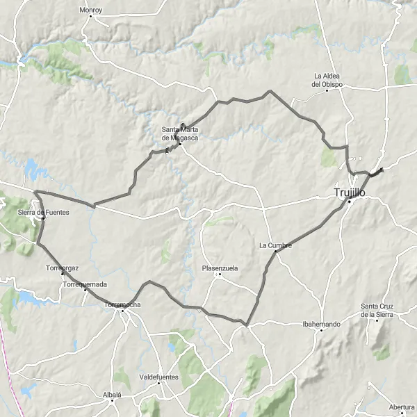
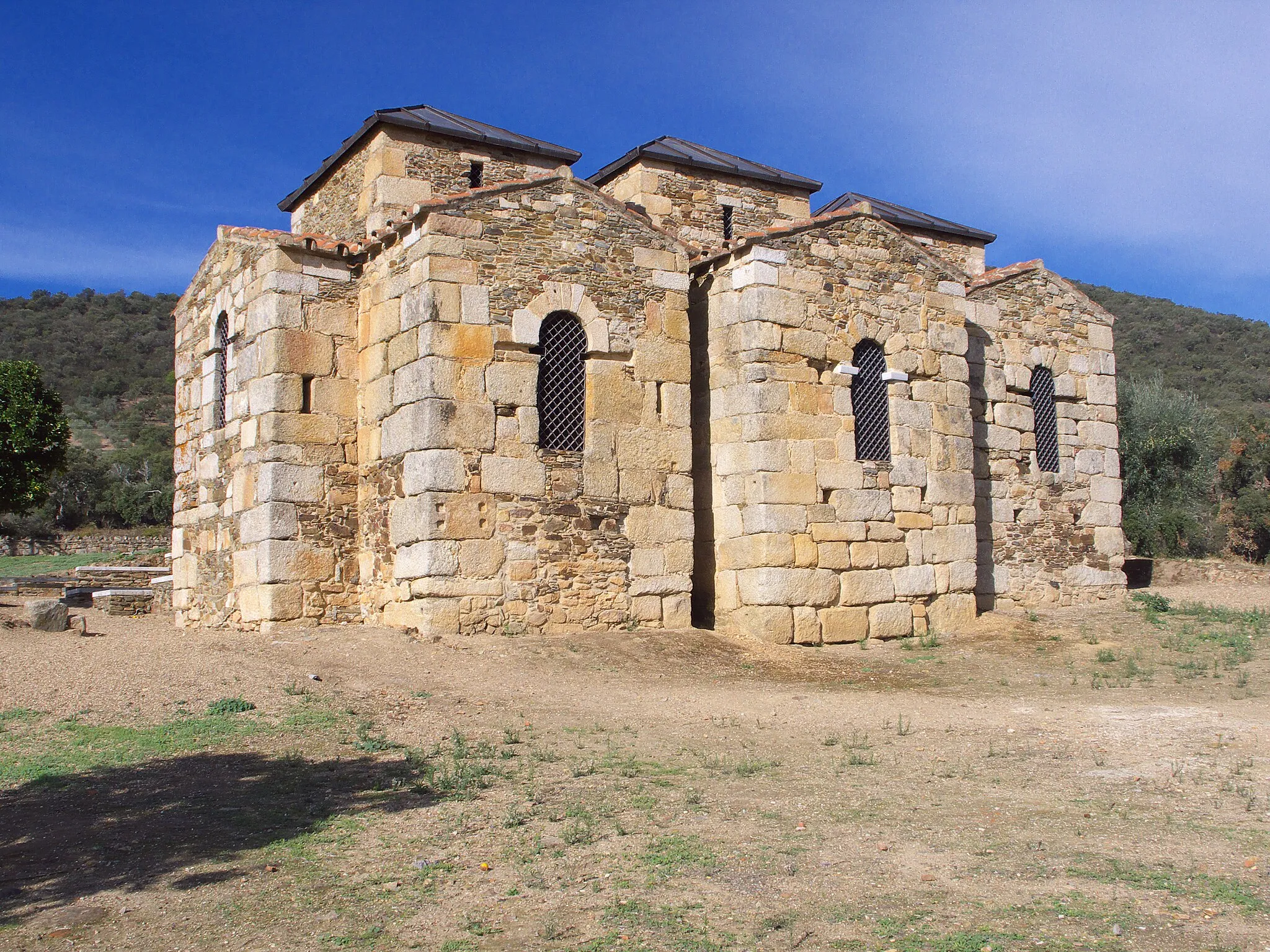
Get ready for an exhilarating gravel cycling experience with this 138-kilometer route that starts near Torreorgaz. With a total ascent of 1146 meters, this route offers a great challenge for gravel enthusiasts. Highlights along the way include Sierra de Fuentes, El Cabril, Santa Marta de Magasca, and Torreorgaz.
![Map miniature of "Countryside Delight" cycling inspiration in Extremadura, Spain. Generated by Tarmacs.app cycling route planner](https://images.tarmacs.app/cycling-routes/routemaps/600/spain/extremadura/torreorgaz/road/331686.webp)
Experience the beauty of the Extremadura countryside on this scenic road cycling route
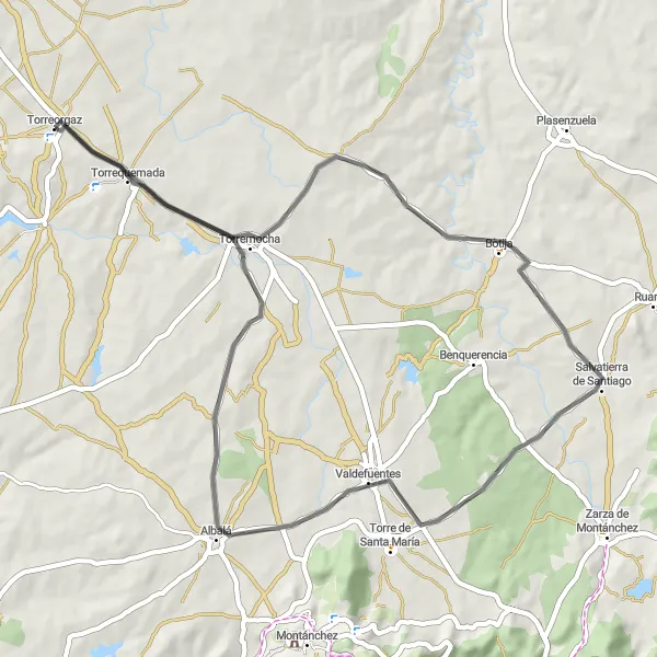
Take in the idyllic countryside of Extremadura on this 60-kilometer road cycling route. With only 299 meters of ascent, this route is perfect for cyclists looking for a leisurely ride. Highlights along the way include Botija, Valdefuentes, and Torremocha.
Sierra de Fuentes Gravel Loop
![Map miniature of "Sierra de Fuentes Gravel Loop" cycling inspiration in Extremadura, Spain. Generated by Tarmacs.app cycling route planner](https://images.tarmacs.app/cycling-routes/routemaps/600/spain/extremadura/torreorgaz/gravel/331744.webp)
Discover the picturesque town of Sierra de Fuentes on this challenging gravel loop
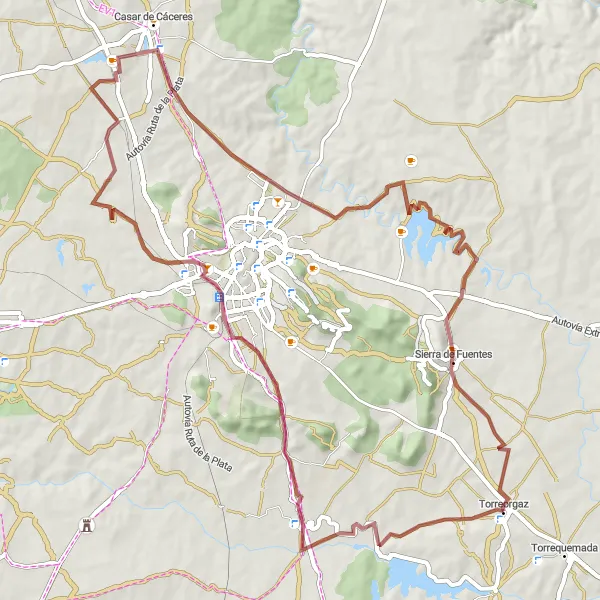
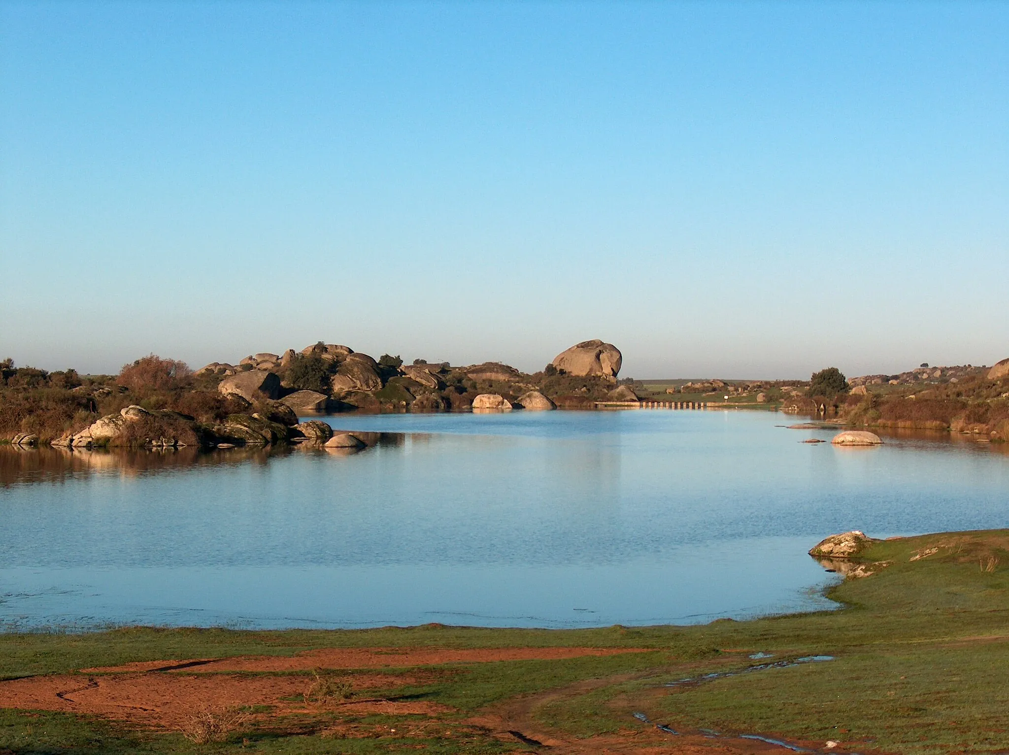
Embark on a thrilling gravel cycling adventure through the scenic landscapes near Torreorgaz. The Sierra de Fuentes Gravel Loop takes you on a 121-kilometer journey with 1,039 meters of ascent. This route is suitable for experienced gravel riders seeking a challenging ride with stunning natural beauty and cultural highlights.
Off the Beaten Path
![Map miniature of "Off the Beaten Path" cycling inspiration in Extremadura, Spain. Generated by Tarmacs.app cycling route planner](https://images.tarmacs.app/cycling-routes/routemaps/600/spain/extremadura/torreorgaz/gravel/331718.webp)
Explore the hidden gems of Extremadura on this adventurous gravel cycling route
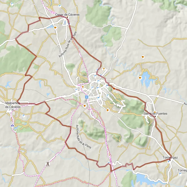
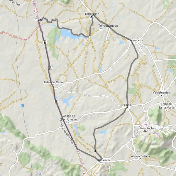
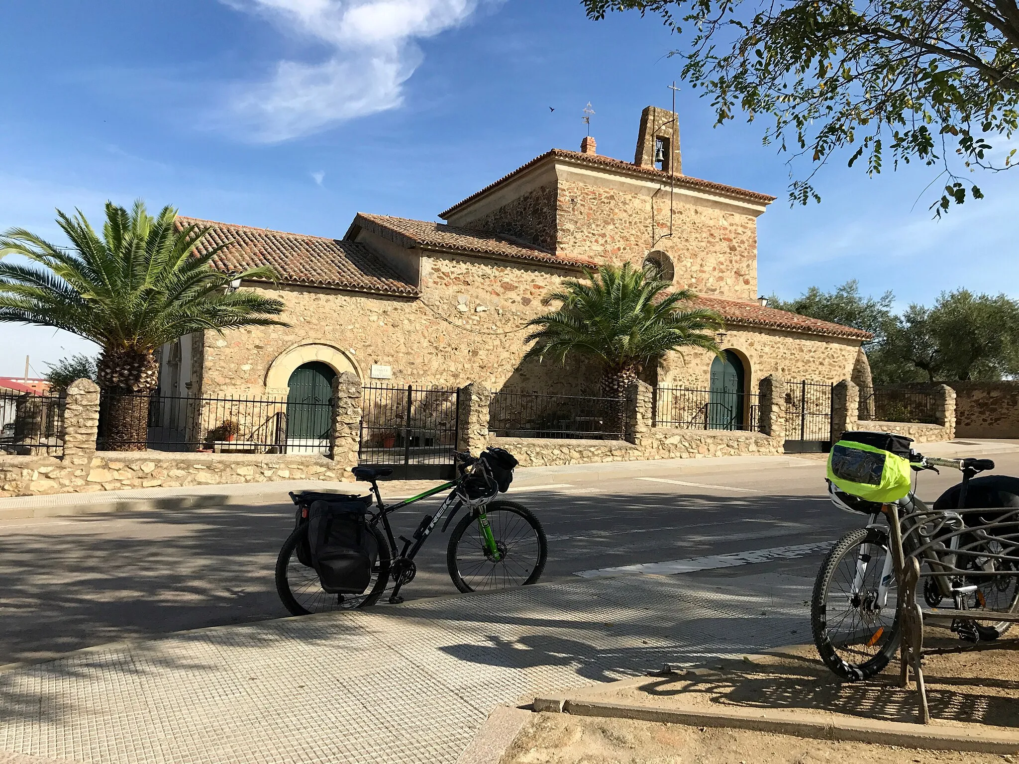
Embark on an off-road cycling adventure with this 84-kilometer gravel route starting in Torreorgaz. With 485 meters of ascent, this route is perfect for those looking to explore the lesser-known parts of Extremadura. Highlights along the way include Torreorgaz, Valdesalor, Casar de Cáceres, and Sierra de Fuentes.
![Map miniature of "Sierra de Fuentes Gravel Adventure" cycling inspiration in Extremadura, Spain. Generated by Tarmacs.app cycling route planner](https://images.tarmacs.app/cycling-routes/routemaps/600/spain/extremadura/torreorgaz/gravel/331725.webp)
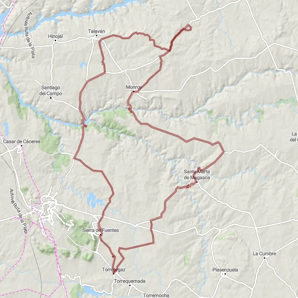
Embark on a challenging gravel adventure to Sierra de Fuentes
Indulge in an epic 138-kilometer gravel cycling adventure to Sierra de Fuentes. With a total ascent of 1,212 meters, this route is suited for experienced cyclists seeking a thrilling and rewarding excursion. Prepare to be captivated by the rugged landscapes, cultural highlights, and natural beauty along the way.
![Map miniature of "Torrequemada Road Loop" cycling inspiration in Extremadura, Spain. Generated by Tarmacs.app cycling route planner](https://images.tarmacs.app/cycling-routes/routemaps/600/spain/extremadura/torreorgaz/road/331739.webp)
Embark on a scenic road cycling loop to Torrequemada
Enjoy a leisurely 71-kilometer road cycling loop to Torrequemada. This route offers a total ascent of 319 meters, making it suitable for cyclists of all levels. Immerse yourself in the tranquil countryside scenery and discover the small villages along the way, each with its own unique charm.
![Map miniature of "Scenic Road Tour" cycling inspiration in Extremadura, Spain. Generated by Tarmacs.app cycling route planner](https://images.tarmacs.app/cycling-routes/routemaps/600/spain/extremadura/torreorgaz/road/331684.webp)
Enjoy the scenic beauty of Extremadura on this road cycling tour
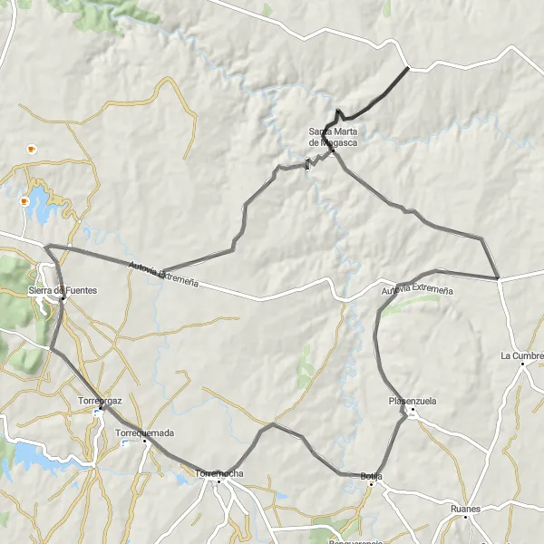
Experience the beauty of Extremadura with this scenic road cycling route. Over a distance of 98 kilometers, you will encounter 875 meters of ascent. Highlights along the route include Sierra de Fuentes, Santa Marta de Magasca, Botija, and Torrequemada.
![Map miniature of "Rural Landscapes Gravel Ride" cycling inspiration in Extremadura, Spain. Generated by Tarmacs.app cycling route planner](https://images.tarmacs.app/cycling-routes/routemaps/600/spain/extremadura/torreorgaz/gravel/331699.webp)
Discover the rural landscapes and charming villages on this gravel ride near Torreorgaz
Escape the hustle and bustle of the city with the Rural Landscapes Gravel Ride. This 76-kilometer route offers a moderate challenge, with 524 meters of ascent. Cyclists will have the opportunity to explore quaint villages, enjoy scenic countryside views, and immerse themselves in the rural charm of Extremadura.
![Map miniature of "Cáceres Adventure" cycling inspiration in Extremadura, Spain. Generated by Tarmacs.app cycling route planner](https://images.tarmacs.app/cycling-routes/routemaps/600/spain/extremadura/torreorgaz/road/331703.webp)
Experience the beauty of Extremadura in this challenging road cycling route
This route offers a great challenge for experienced cyclists with its 894 meters of ascent over a distance of 115 kilometers. Starting near Torreorgaz, you will ride through picturesque countryside and charming villages. The highlights along the route include Sierra de Fuentes, Santa Marta de Magasca, Alcazarejo de los Altamirano, La Cumbre, Ruanes, and Torrequemada.
Cycling routes nearby:
![Image of Sierra de Fuentes](https://images.tarmacs.app/cycling-routes/covers/spain/extremadura/sierra-de-fuentes-5.webp)
![Image of Cáceres](https://images.tarmacs.app/cycling-routes/covers/spain/extremadura/caceres-4.webp)
![Image of Valdefuentes](https://images.tarmacs.app/cycling-routes/covers/spain/extremadura/valdefuentes-4.webp)
![Image of Montánchez](https://images.tarmacs.app/cycling-routes/covers/spain/extremadura/montanchez-5.webp)
![Image of Alcuéscar](https://images.tarmacs.app/cycling-routes/covers/spain/extremadura/alcuescar-5.webp)
![Image of Malpartida de Cáceres](https://images.tarmacs.app/cycling-routes/covers/spain/extremadura/malpartida-de-caceres-5.webp)
![Image of Casar de Cáceres](https://images.tarmacs.app/cycling-routes/covers/spain/extremadura/casar-de-caceres-5.webp)
![Image of Almoharín](https://images.tarmacs.app/cycling-routes/covers/spain/extremadura/almoharin-5.webp)
![Image of Arroyo de la Luz](https://images.tarmacs.app/cycling-routes/covers/spain/extremadura/arroyo-de-la-luz-5.webp)
Nearby regions:
![Image of Comunidad de Madrid](https://images.tarmacs.app/cycling-routes/covers/spain/comunidad-de-madrid/cobena-1.webp)
![Image of Castilla y León](https://images.tarmacs.app/cycling-routes/covers/spain/castilla-y-leon/cuellar-3.webp)
![Image of Castilla-La Mancha](https://images.tarmacs.app/cycling-routes/covers/spain/castilla-la-mancha/torrenueva-2.webp)
![Image of Andalucía](https://images.tarmacs.app/cycling-routes/covers/spain/andalucia/huelva-5.webp)
![Image of Norte](https://images.tarmacs.app/cycling-routes/covers/portugal/norte/melres-2.webp)
![Image of Algarve](https://images.tarmacs.app/cycling-routes/covers/portugal/algarve/portimao-4.webp)
![Image of Centro (PT)](https://images.tarmacs.app/cycling-routes/covers/portugal/centro-pt/eixo-4.webp)
![Image of Área Metropolitana de Lisboa](https://images.tarmacs.app/cycling-routes/covers/portugal/area-metropolitana-de-lisboa/santo-antonio-da-charneca-4.webp)
![Image of Alentejo](https://images.tarmacs.app/cycling-routes/covers/portugal/alentejo/marvao-4.webp)