Arroyomolinos Loop
A road cycling route starting from Almoharin
Experience the charming village of Arroyomolinos
Map
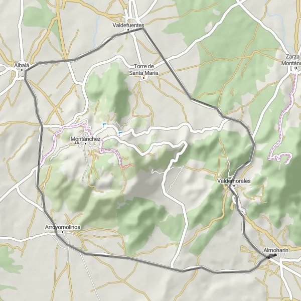
Take a scenic ride through the beautiful countryside near Almoharín and explore the hidden gem of Arroyomolinos. This route offers a moderate difficulty level, with a total ascent of 368 meters and a distance of 42 kilometers. The road conditions are suitable for road biking enthusiasts. Enjoy the rolling hills and lush landscapes along the way.
road
42 km
368 m
Tough
Route profile
Highlights on the route
0 km
0 km
Start: Almoharín Village centerAlmoharín: A cycling gem in the heart of Extremadura.
Almoharín, located in Extremadura, Spain, is a cyclist's paradise. The town offers a variety of cycling routes suitable for both road and gravel cyclists. With its warm climate and stunning landscapes, Almoharín provides the perfect backdrop for a memorable cycling experience. Nearby, there are famous climbs like Puerto de Honduras and Puerto de Albalate, which attract both professional and amateur cyclists. Whether you're looking for challenging climbs or leisurely rides, Almoharín has it all.11 km
11 km
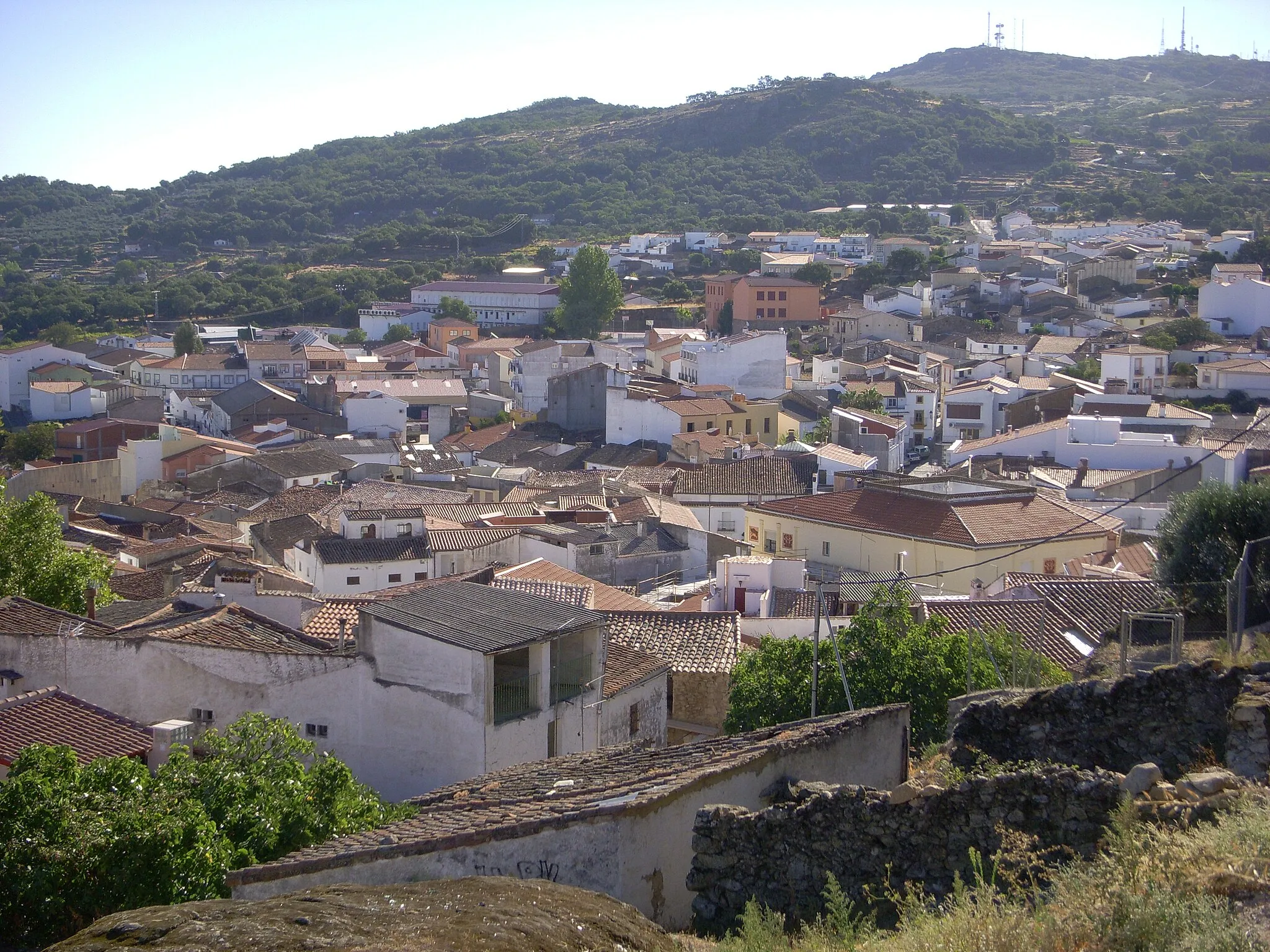
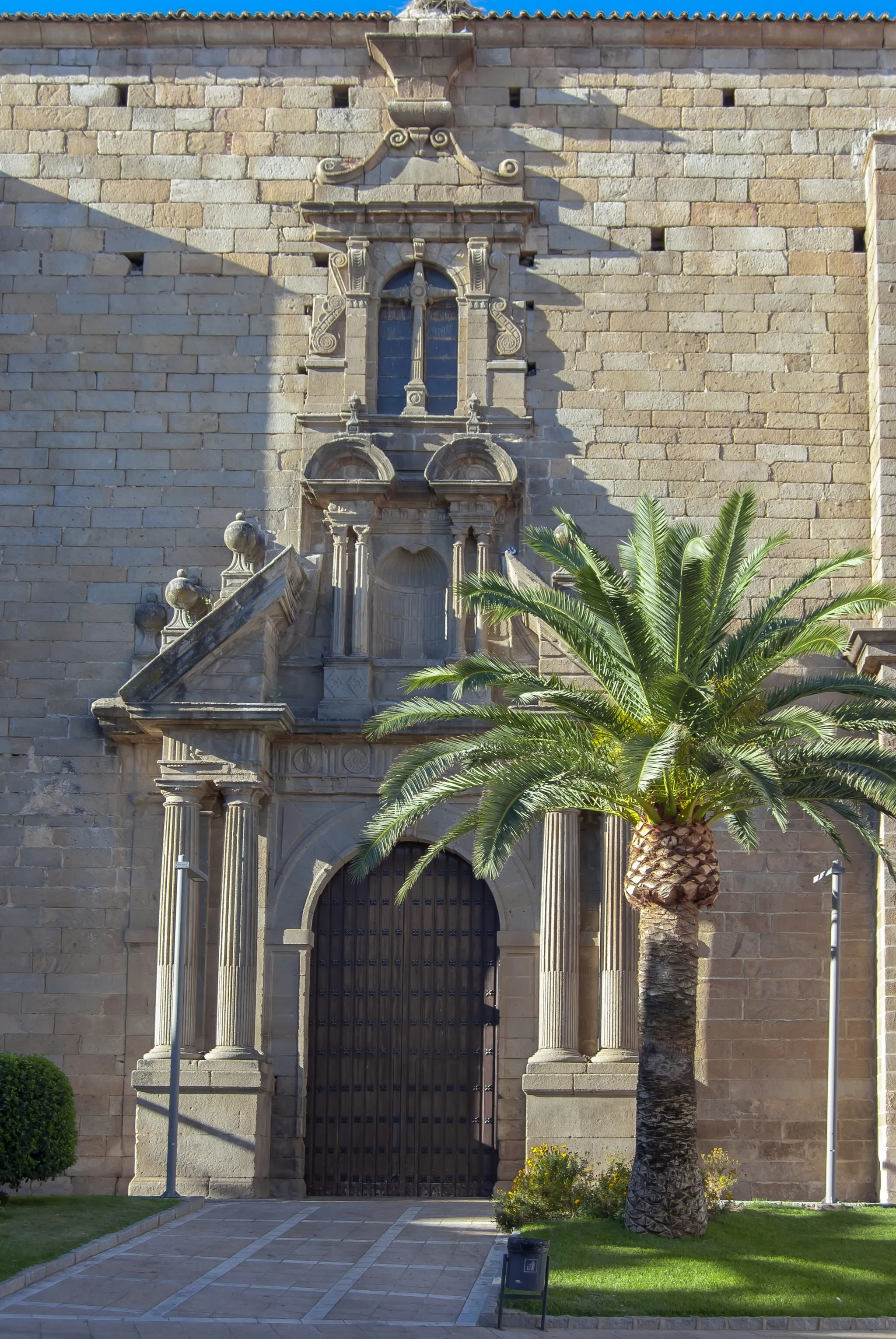
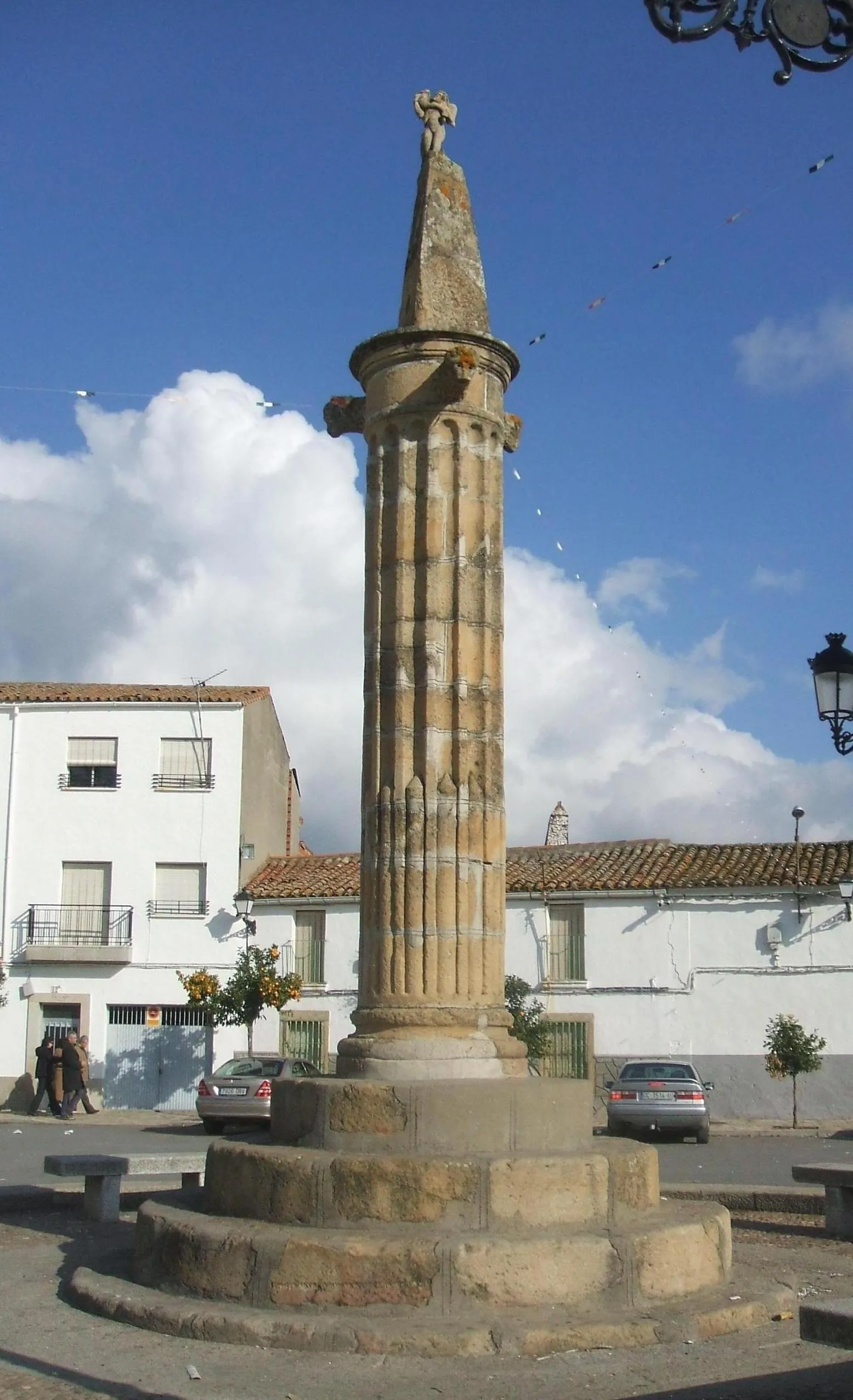
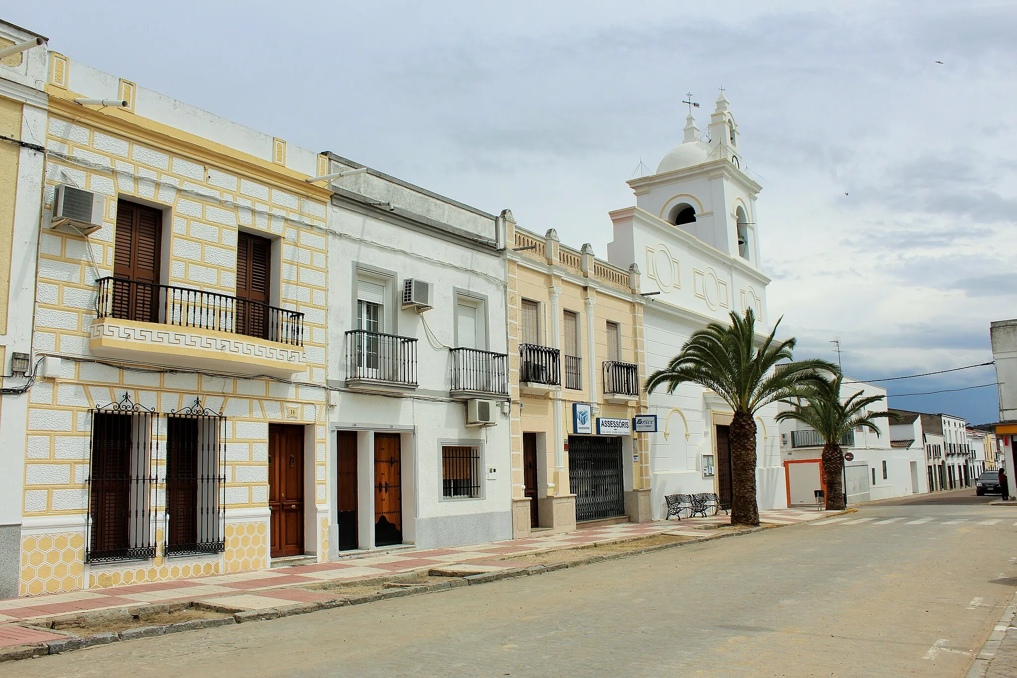
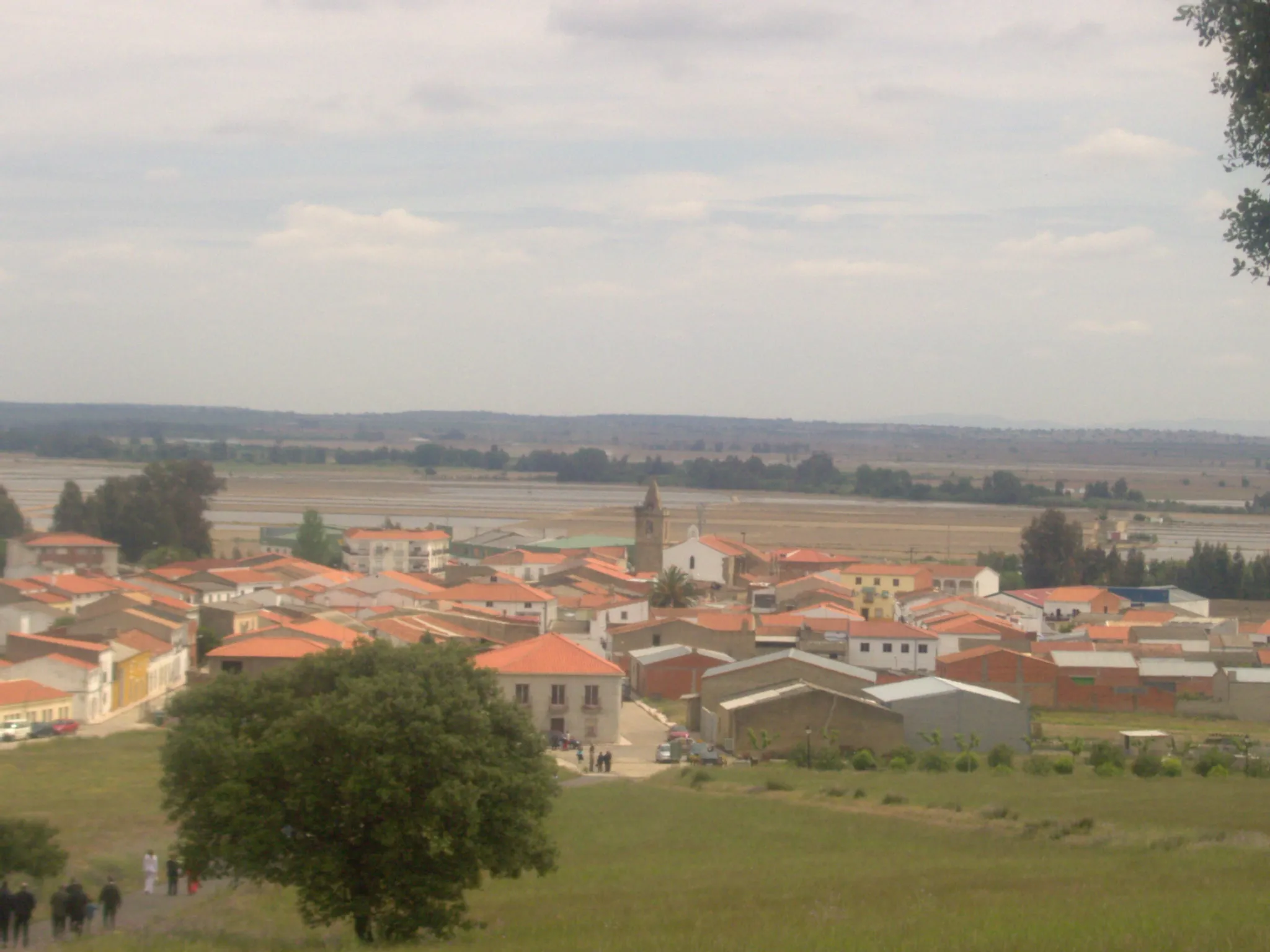
ArroyomolinosVillageLocated 11 kilometers into the route, Arroyomolinos is a picturesque village with traditional Spanish architecture and narrow winding streets. Stop by to admire its historic charm and grab a coffee at a local cafe.
25 km
25 km
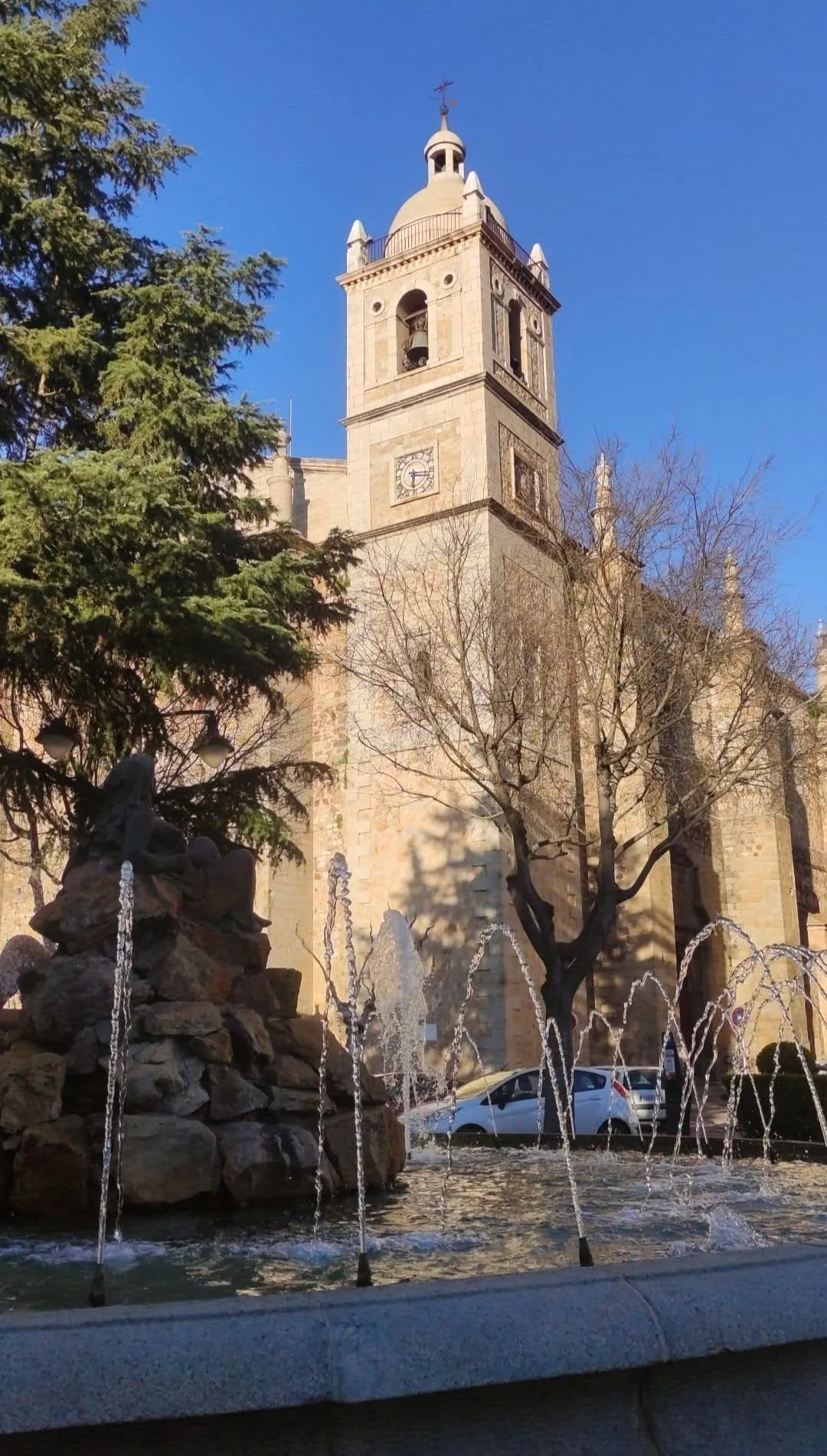
ValdefuentesVillageValdefuentes, situated 25 kilometers into the route, welcomes you with its expansive olive groves and traditional stone architecture. Take a moment to enjoy the serene landscape before continuing your journey.
37 km
37 km
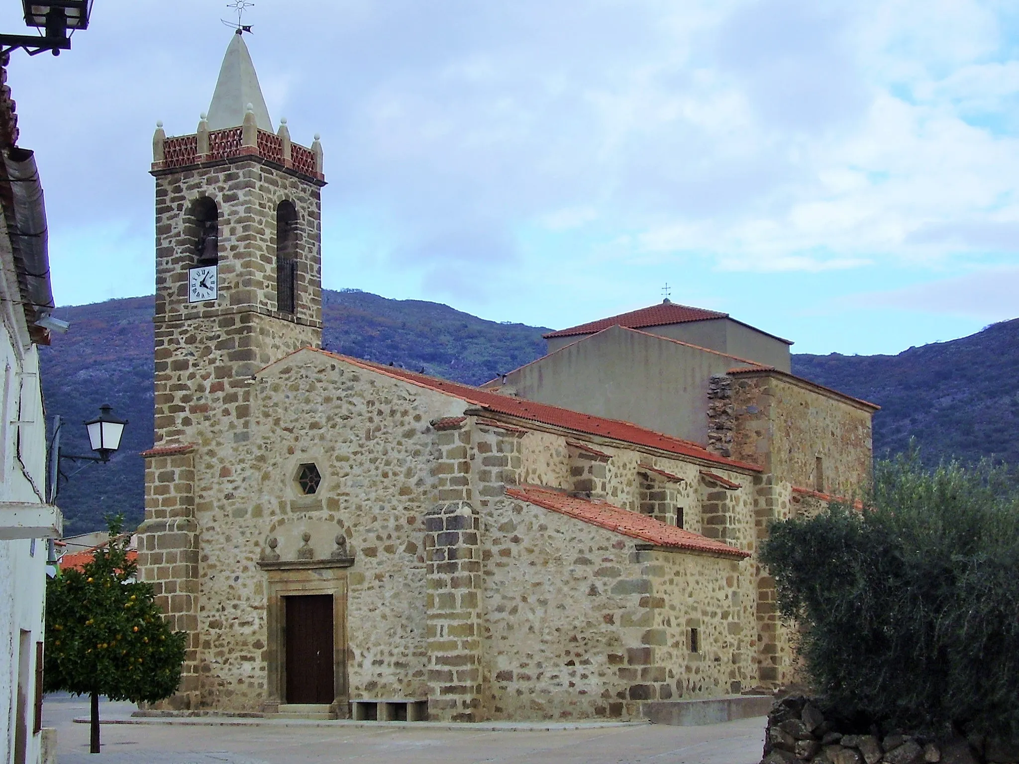
ValdemoralesVillageAt the 37-kilometer mark, you'll reach Valdemorales, a small town surrounded by oak forests and farmland. Enjoy the peaceful atmosphere and relax in one of the local parks or cafes.
42 km
42 km
Finish: Almoharín Village centerAlmoharín: A cycling gem in the heart of Extremadura.
Cycling routes from Almoharin:
Cycling routes nearby: