Valdefuentes Hill Circuit
A gravel cycling route starting from Valdefuentes
Challenge yourself on hilly gravel roads and discover hidden gems
Map
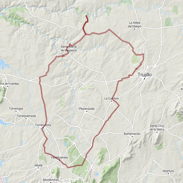
Embark on a challenging gravel adventure starting from Valdefuentes. This circuit takes you on a journey through stunning landscapes and hidden gems. With a total ascent of 923 meters and a distance of 117 kilometers, this route is recommended for experienced cyclists. Get ready to conquer the hills and be rewarded with breathtaking views and a sense of accomplishment.
gravel
117 km
923 m
Tough
Route profile
Highlights on the route
0 km
0 km
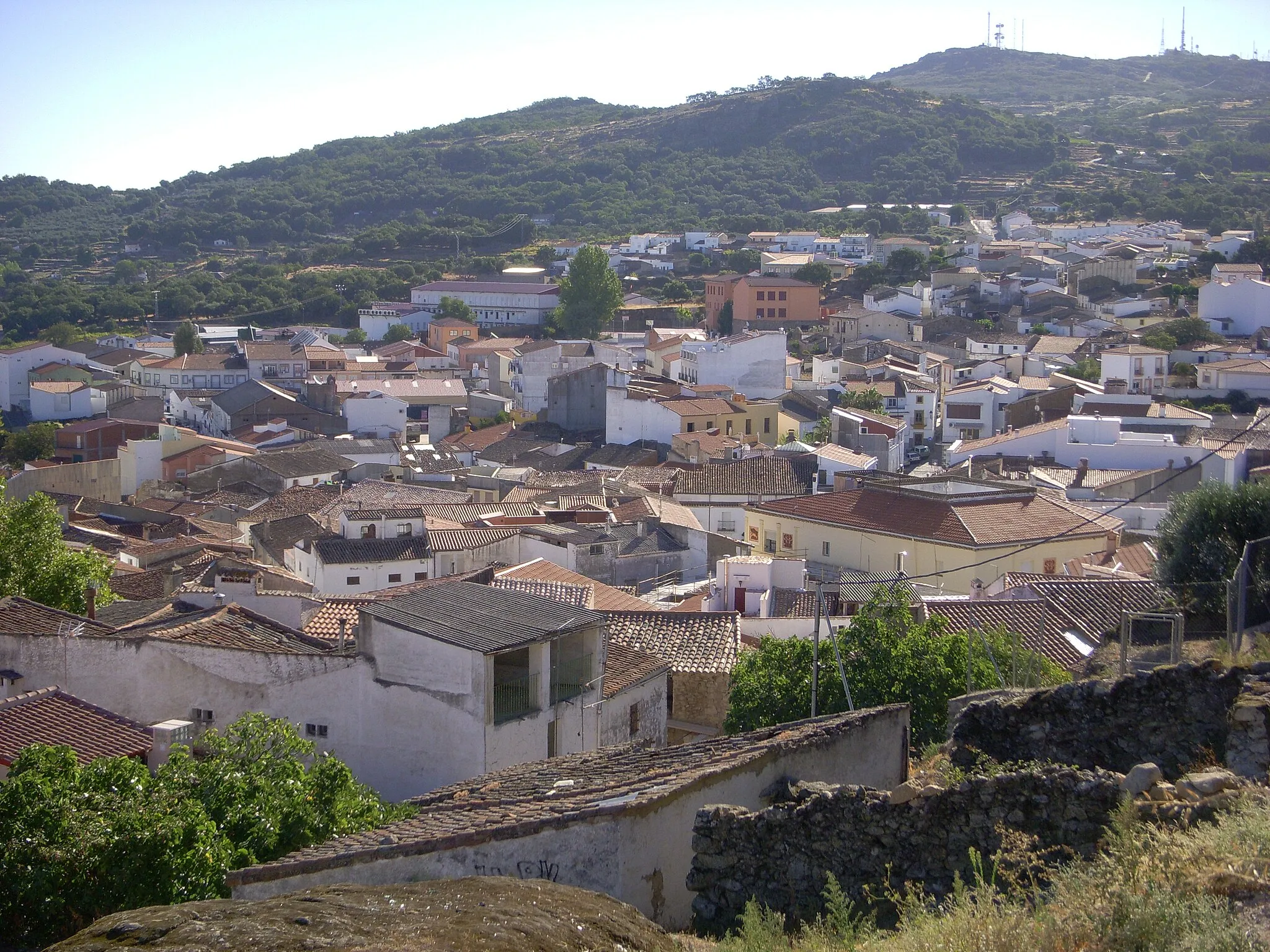
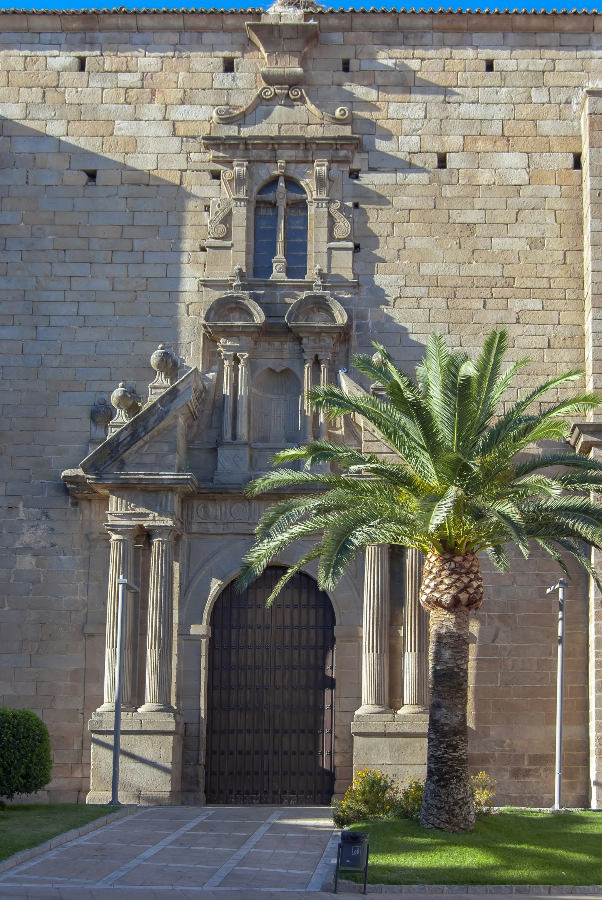
Start: Valdefuentes Village centerValdefuentes: Hidden Gems and Exciting Climbs
Valdefuentes, located in Extremadura, Spain, is a hidden gem for road and gravel cyclists. The locality offers a diverse range of cycling routes, from flat plains to more challenging hilly terrains. Cyclists can explore the region's stunning natural landscapes and picturesque countryside. Valdefuentes is also home to several well-known climbs, most notably Puerto de Bejar and Puerto de Tornavacas, providing a thrilling experience for advanced cyclists. With its tranquil atmosphere and cycling-friendly infrastructure, Valdefuentes is an ideal destination for cyclists seeking adventure and exploration.11 km
11 km
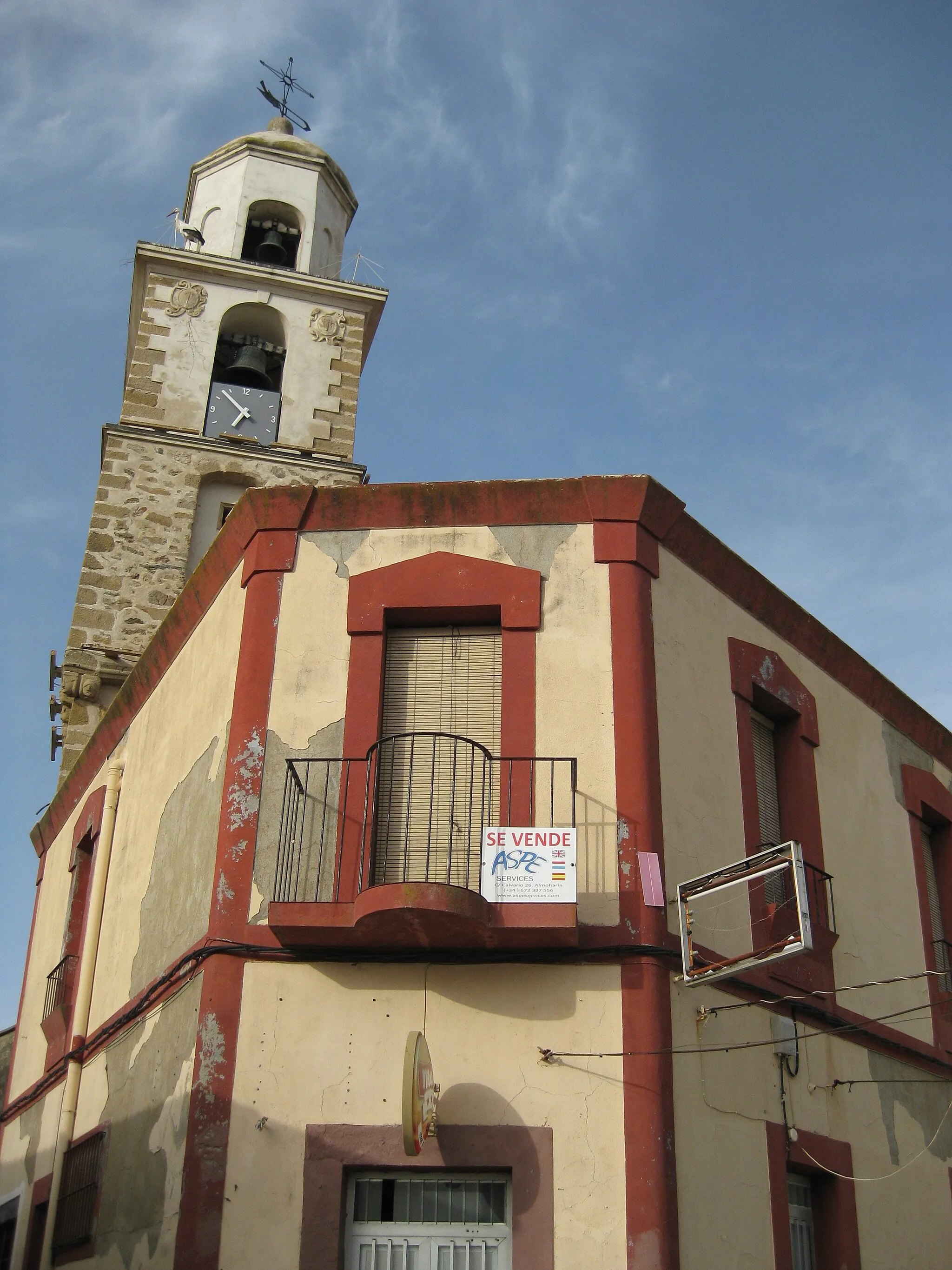
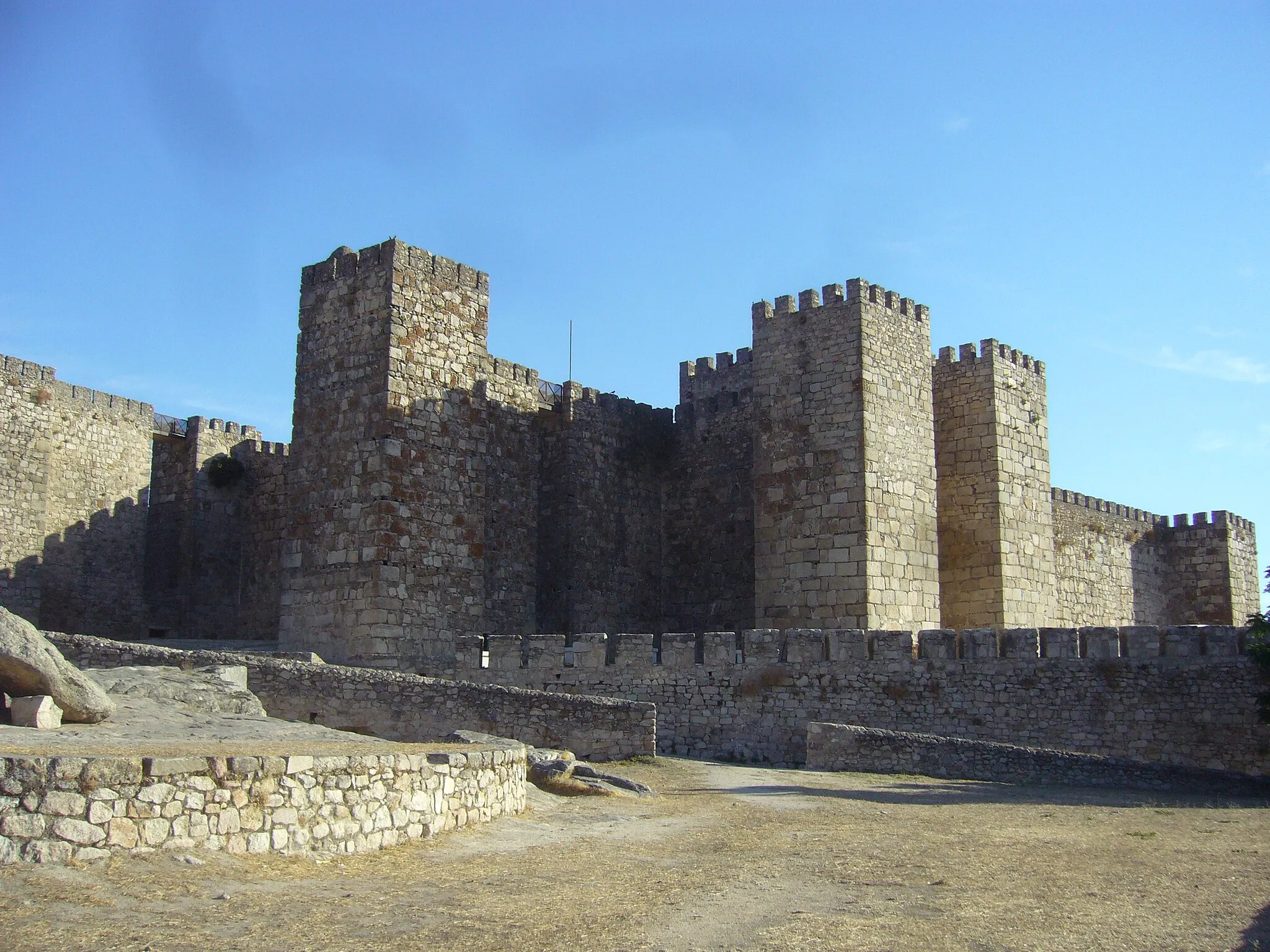
TorremochaVillageVisit Torremocha, a small hilltop village known for its historic castle.
36 km
36 km
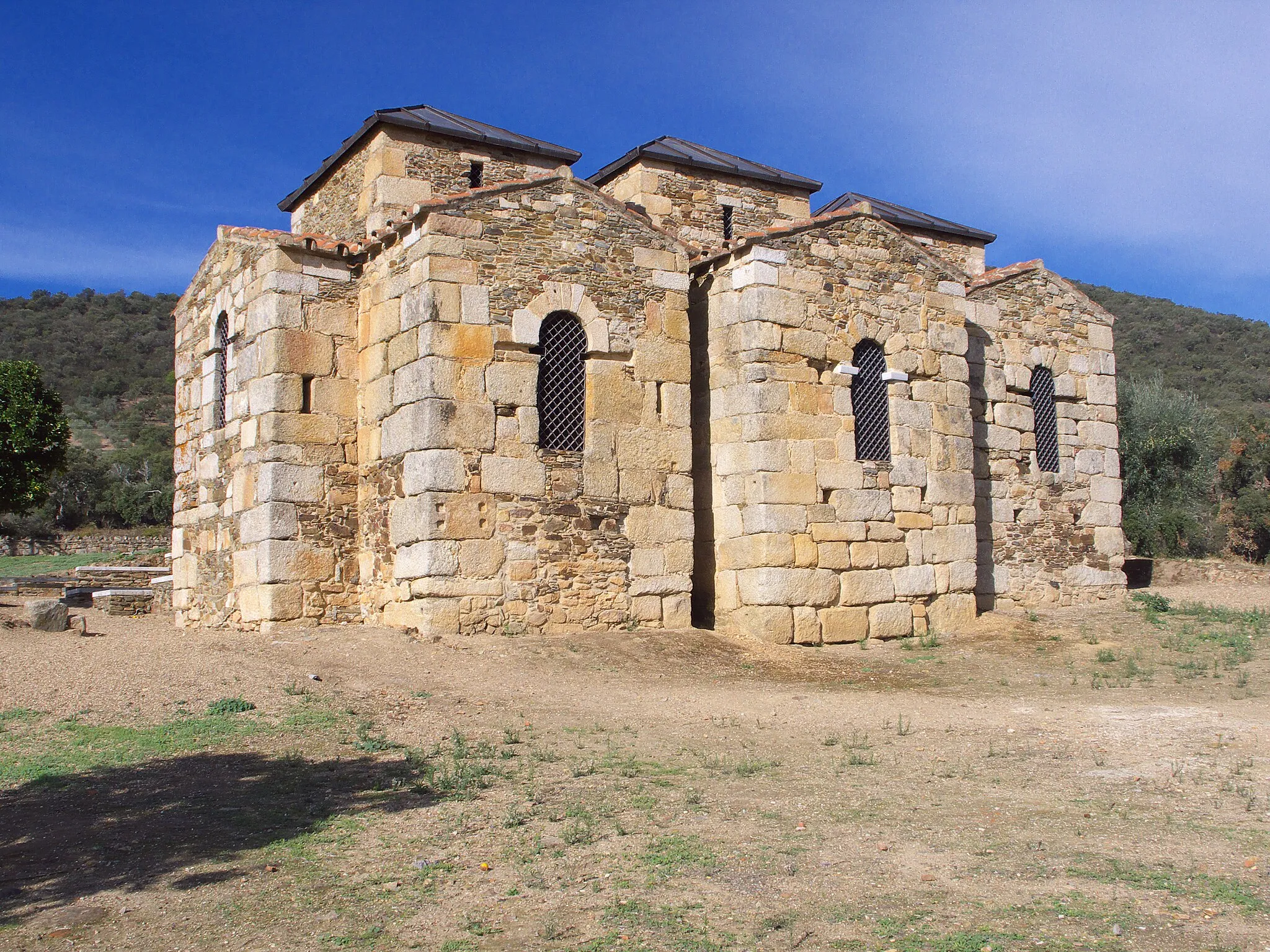
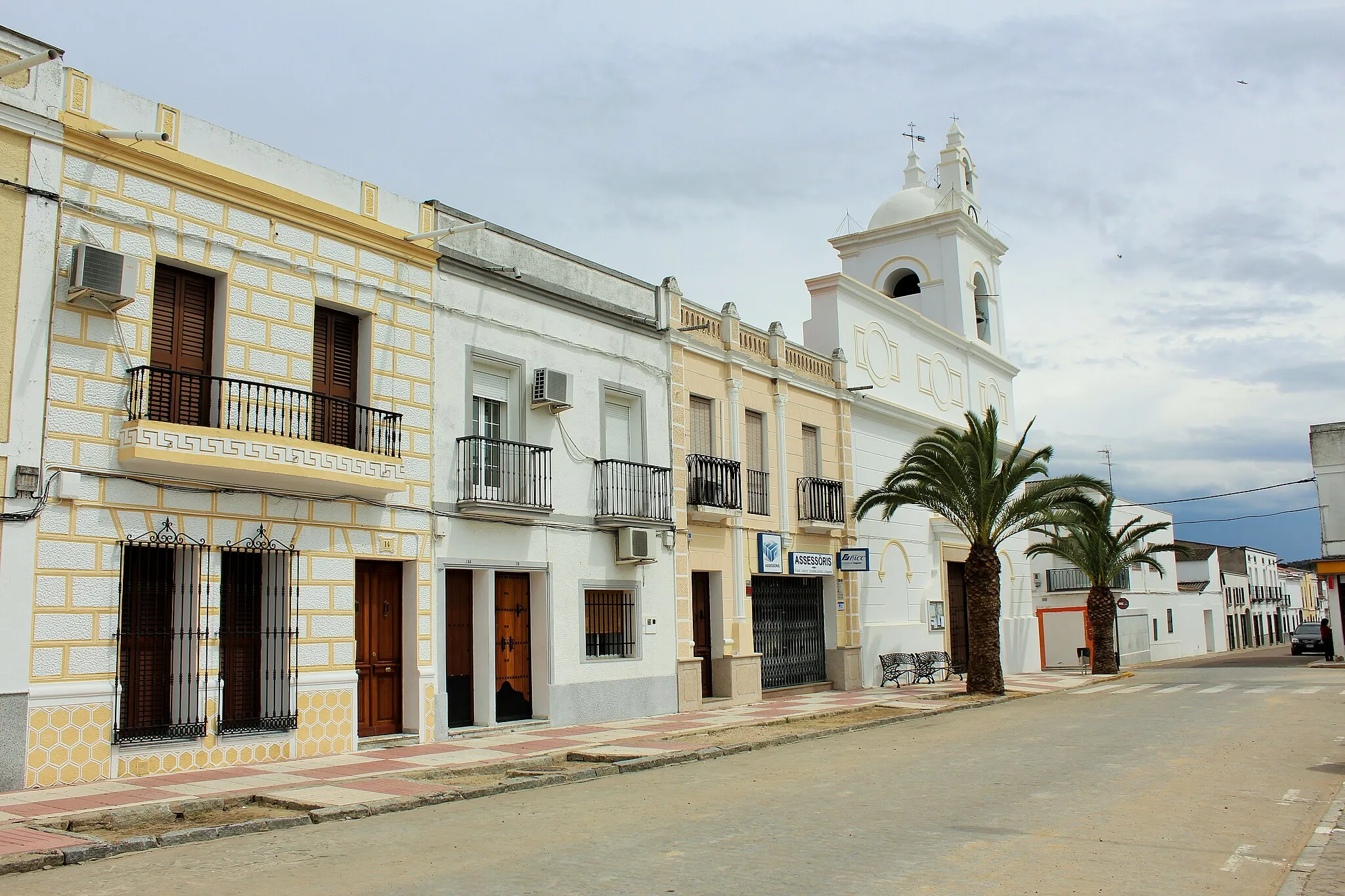
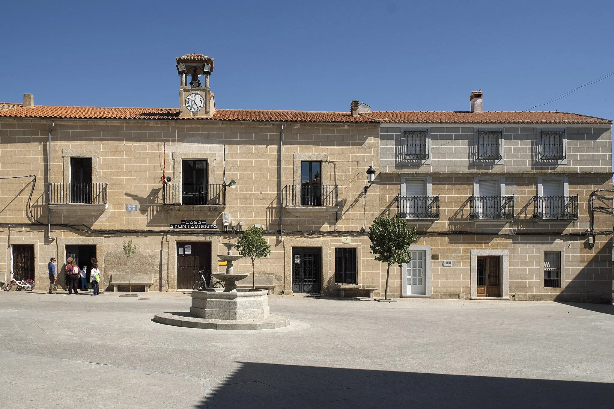
Santa Marta de MagascaVillageExplore Santa Marta de Magasca, a picturesque town with beautiful architecture.
90 km
90 km
La CumbreVillageReach La Cumbre, a famous viewpoint where you can admire the surrounding countryside.
105 km
105 km
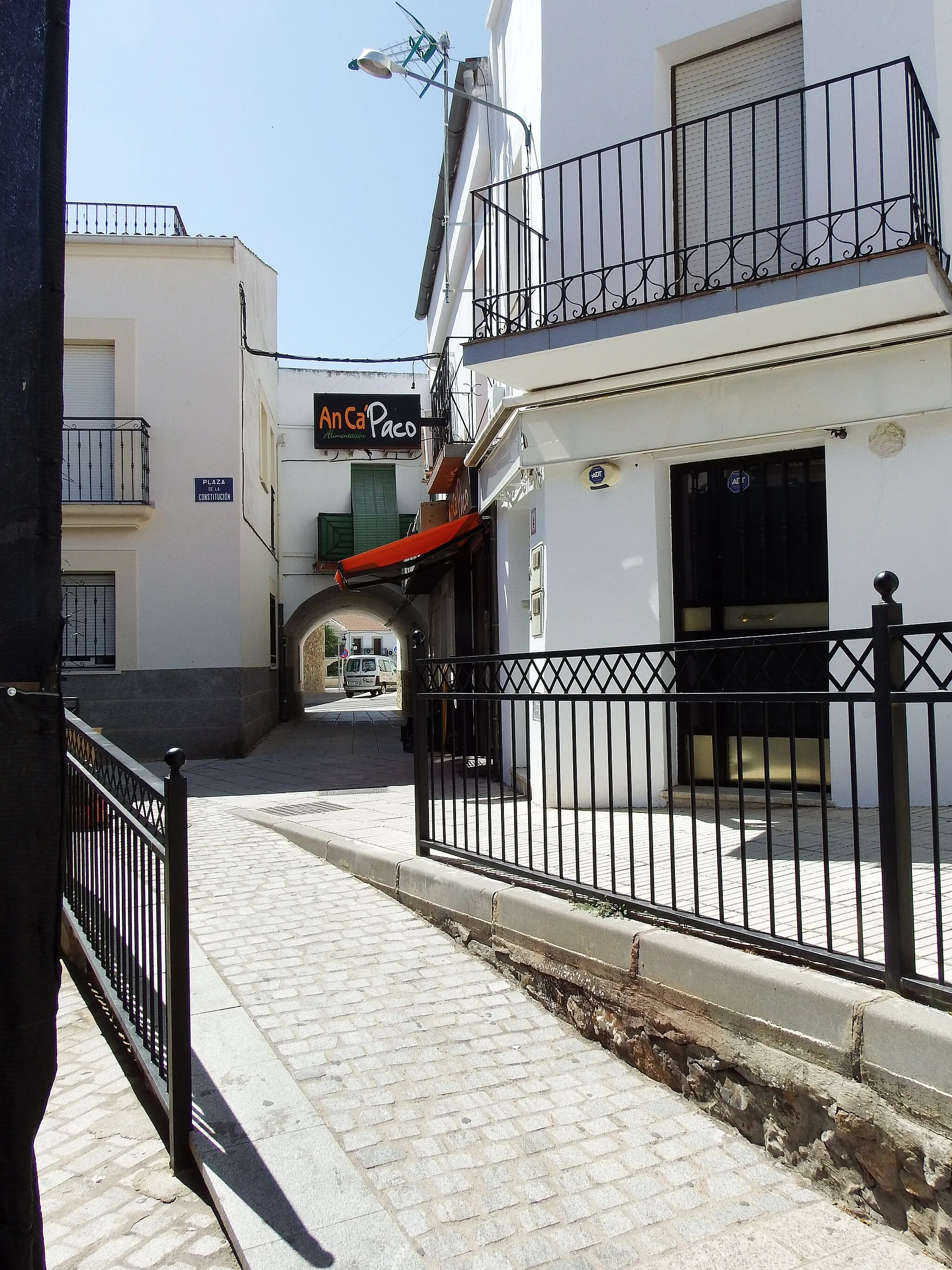
Salvatierra de SantiagoVillageMake a stop in Salvatierra de Santiago and discover its ancient Roman bridge and medieval castle.
117 km
117 km
Finish: Valdefuentes Village centerValdefuentes: Hidden Gems and Exciting Climbs
Cycling routes nearby: