The Ultimate Gravel Challenge
A gravel cycling route starting from Balsthal
Conquer the challenging gravel routes of Espace Mittelland
Map
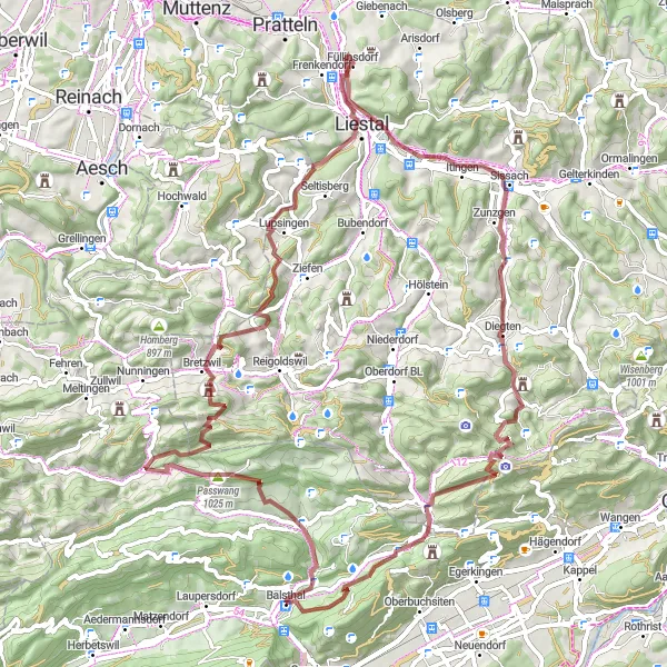
The Ultimate Gravel Challenge is a demanding 78-kilometer route that will push your cycling skills to the limit. With a challenging ascent of 2163 meters, this route is only suitable for experienced gravel riders. Explore historic ruins, climb steep hills, and enjoy breathtaking views as you conquer the Espace Mittelland region.
gravel
78 km
2163 m
Savage
Route profile
Highlights on the route
0 km
0 km
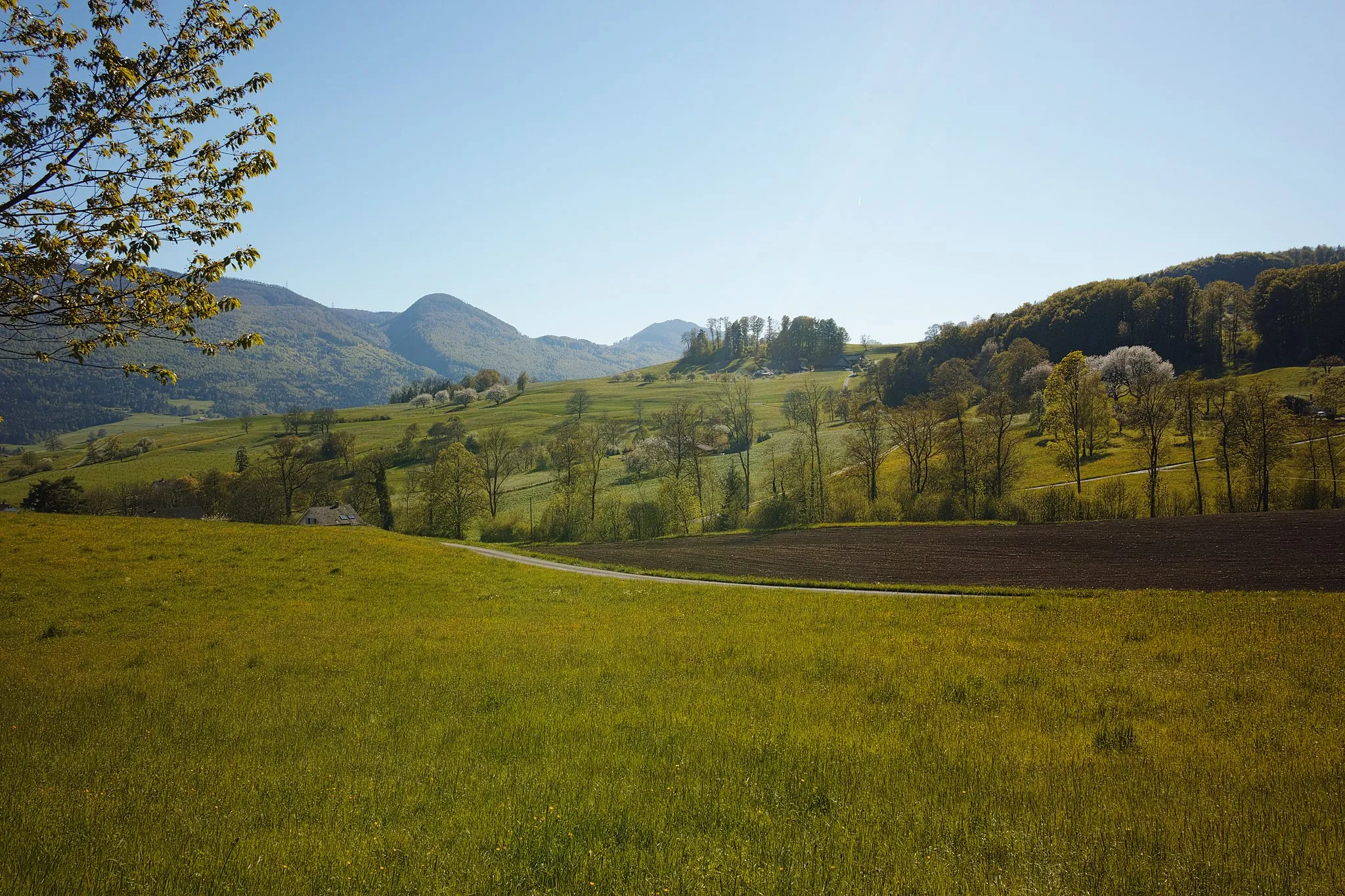
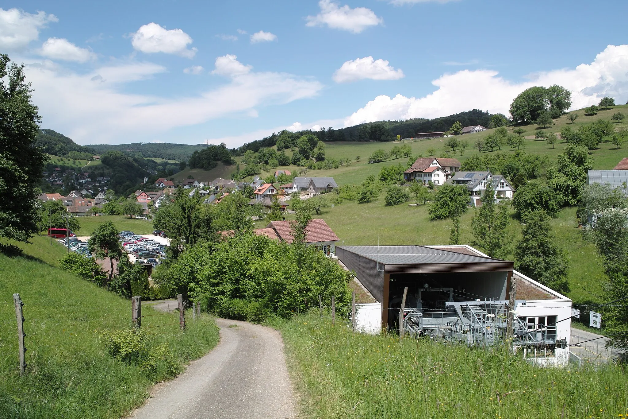
Start: Balsthal Village centerBalsthal: Balsthal: Scenic cycling haven in Espace Mittelland
Balsthal in Espace Mittelland, Switzerland is a hidden gem for road and gravel cyclists. The locality is surrounded by scenic countryside, with rolling hills and beautiful landscapes. Balsthal is known for its well-maintained roads and low traffic, making it perfect for cyclists looking to escape the bustling city. The region offers several challenging climbs, including the iconic Weissenstein Pass. Cyclists will also find cycling-friendly amenities such as bike shops and accommodations. Balsthal is a top choice for cyclists seeking a peaceful and scenic cycling experience.1 km
1 km
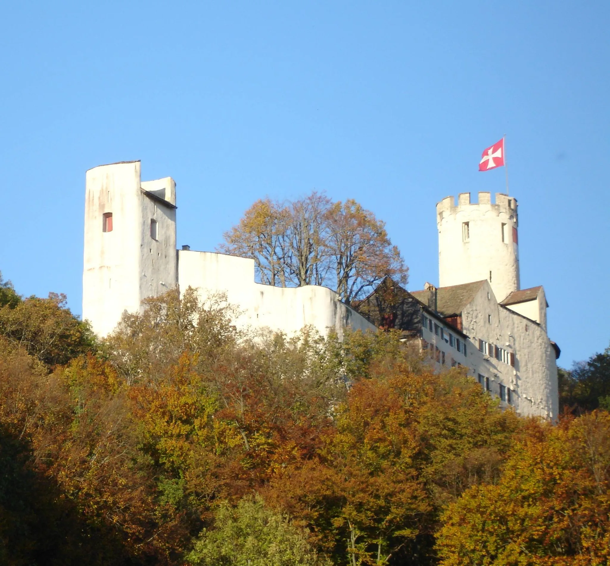
Ruine Neu-FalkensteinCastleRuine Neu-Falkenstein is a ruined castle with historical significance.
9 km
9 km
Passwang1025 mPeak ViewpointPasswang is a legendary cycling spot, well-known for its challenging climbs.
19 km
19 km
Schlossberg849 mPeakSchlossberg offers unparalleled views of the surrounding landscapes.
40 km
40 km
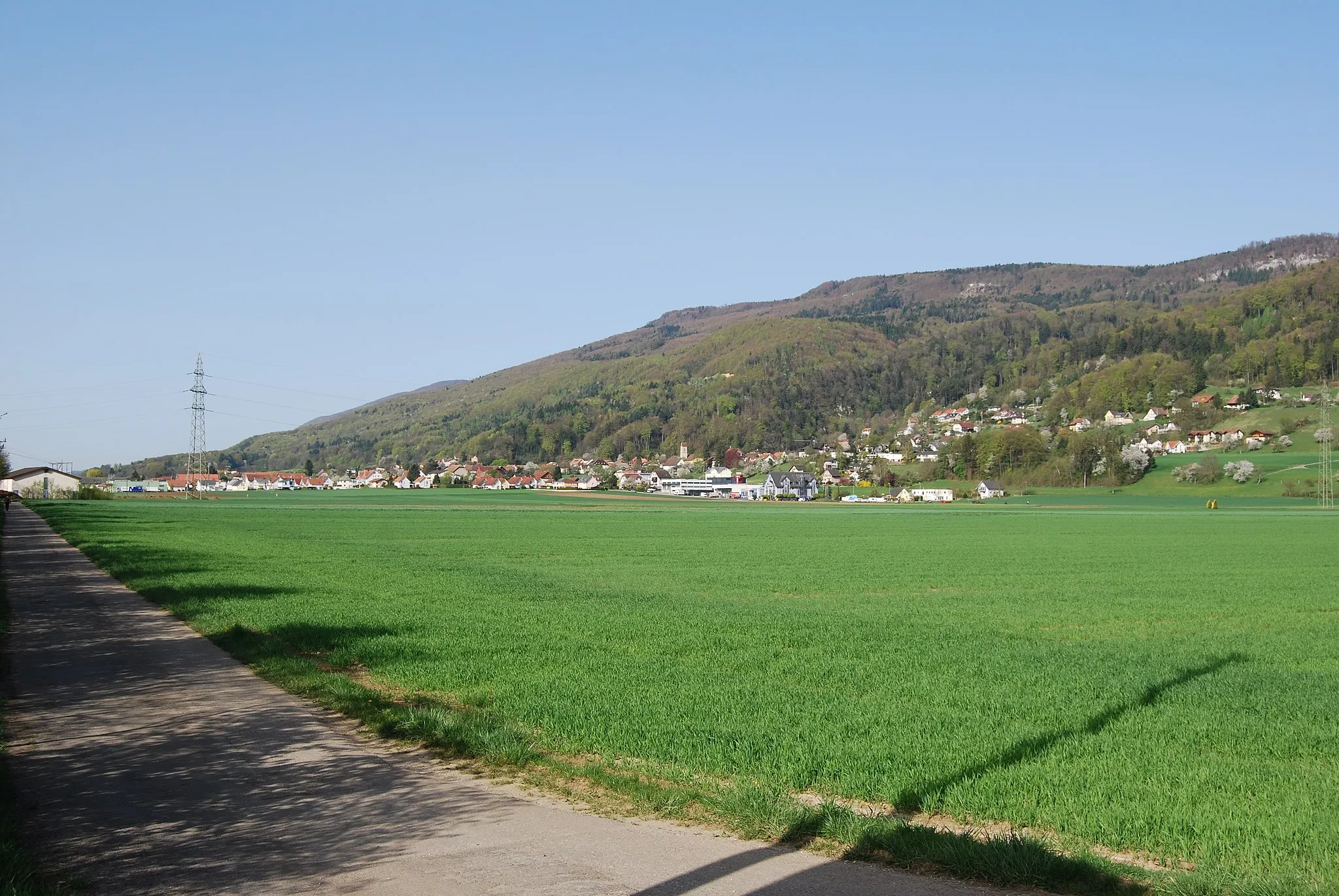
FüllinsdorfVillageFüllinsdorf is a charming village with traditional Swiss architecture.
43 km
43 km
SchleifenbergturmViewpointSchleifenbergturm is a lookout tower offering panoramic views of the region.
53 km
53 km
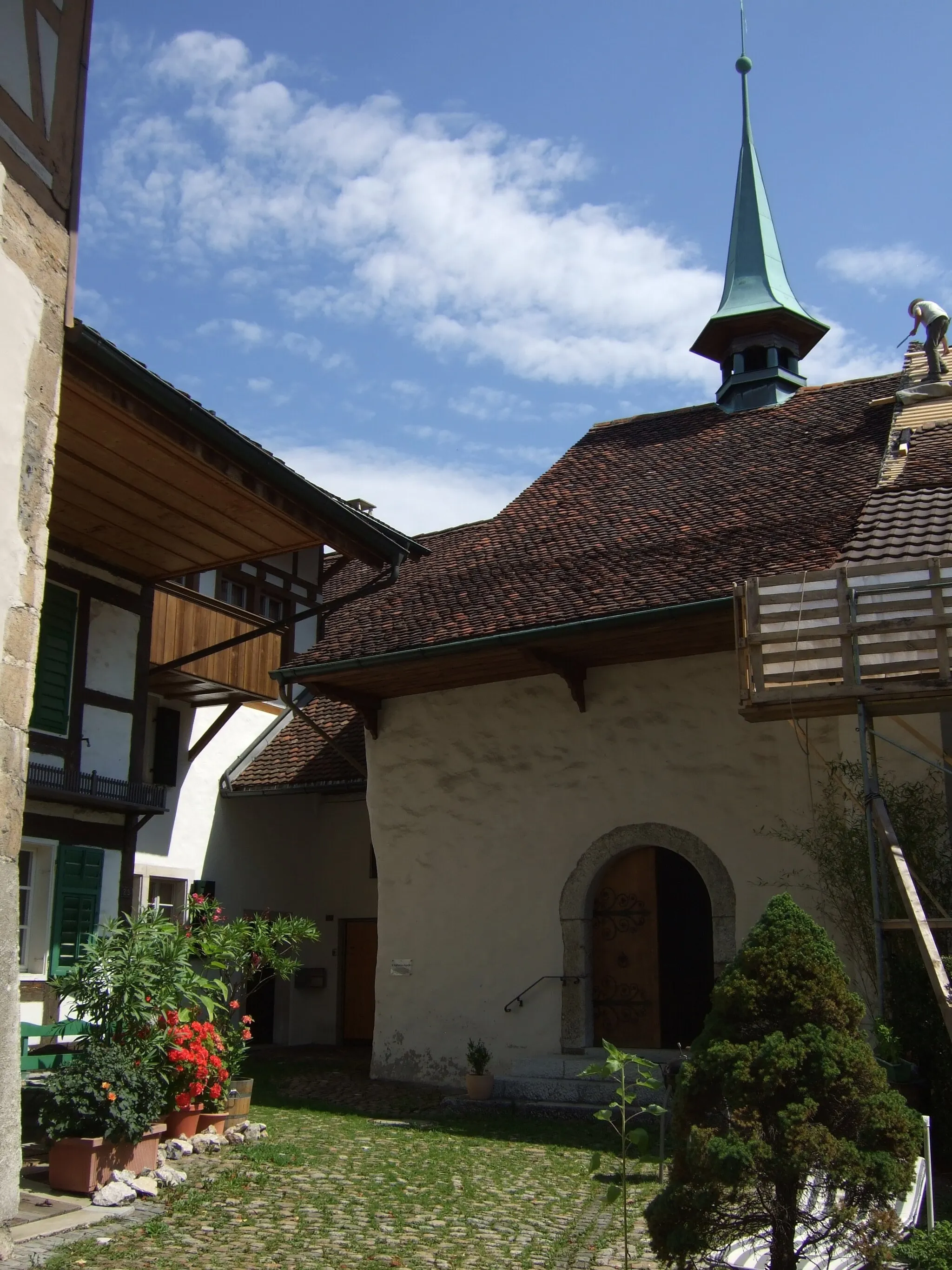
TennikenVillageTenniken is a small village with beautiful natural surroundings.
64 km
64 km
Chilchzimmersattel991 mMountain PassChilchzimmersattel is a challenging climb known for its breathtaking views.
75 km
75 km
Roggenflue995 mViewpointRoggenflue is a rocky outcrop offering dramatic vistas of the landscape.
78 km
78 km
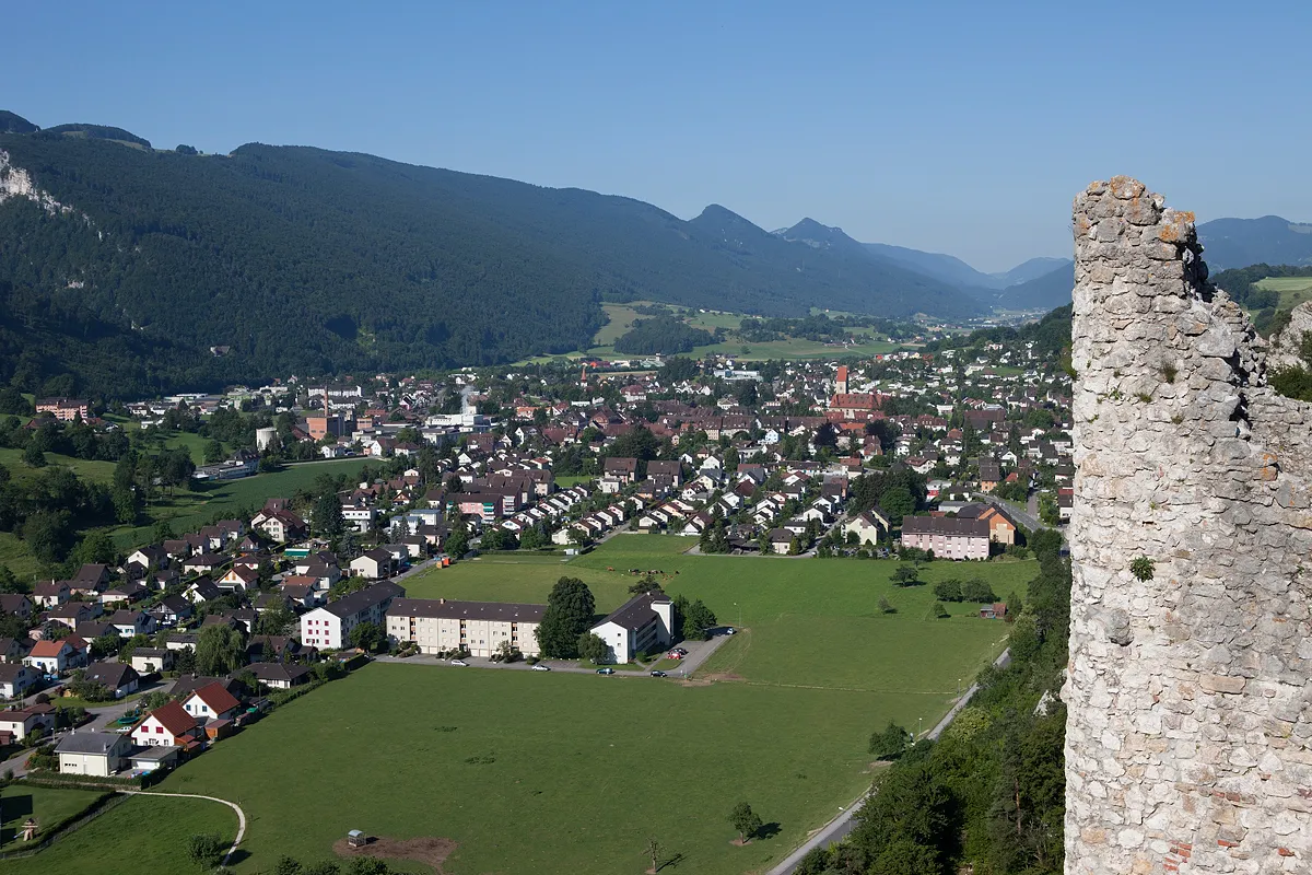
BalsthalVillageBalsthal is a vibrant town with a rich cultural heritage.
78 km
78 km
Finish: Balsthal Village centerBalsthal: Balsthal: Scenic cycling haven in Espace Mittelland
Cycling routes from Balsthal:
Cycling routes nearby: