Gruyères Gravel Adventure
A gravel cycling route starting from Gruyeres
Discover Gruyères's gravel roads with stunning views
Map
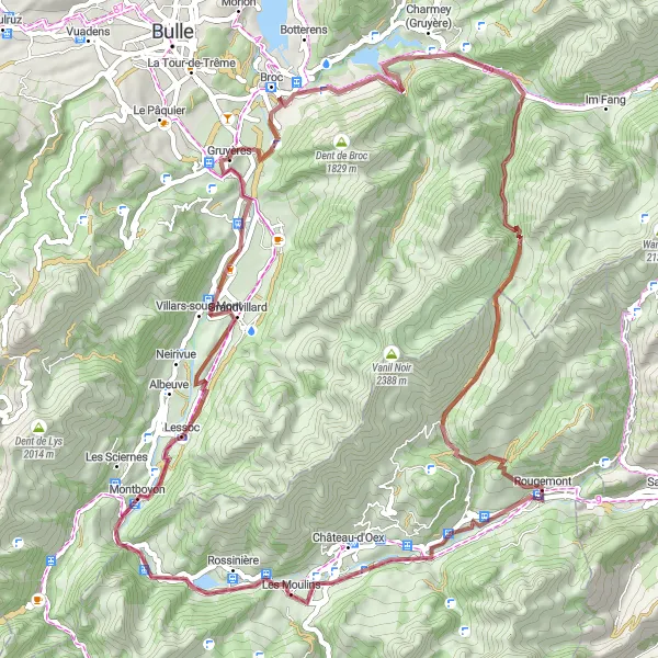
Experience the best of Gruyères on this gravel adventure. With a total ascent of 1887 meters and a distance of 68 kilometers, this route takes you through picturesque landscapes and offers panoramic views. The idyllic Château de Gruyères and the breathtaking Montsalvens are just a few of the highlights along the way, making this route an exceptional cycling experience.
gravel
68 km
1887 m
Tough
Route profile
Highlights on the route
0 km
0 km
Start: Gruyères Village centerGruyères: Indulge in a cycling adventure in the picturesque Gruyères
Gruyères, situated in the Espace Mittelland region of Switzerland, offers a stunning cycling experience amidst the Swiss countryside. The locality is known for its well-maintained roads and beautiful landscapes that include sprawling meadows and rolling hills. Cyclists can explore the famous cycling spots nearby such as the Moléson climb. Gruyères is a dream destination for both road and gravel cyclists seeking breathtaking scenery, challenging climbs, and delicious Swiss cuisine.0 km
0 km
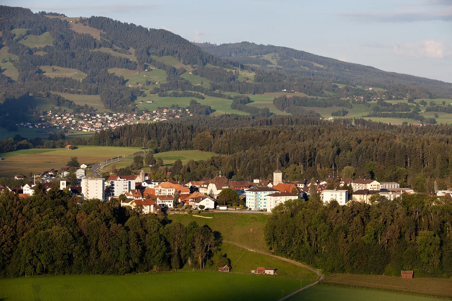
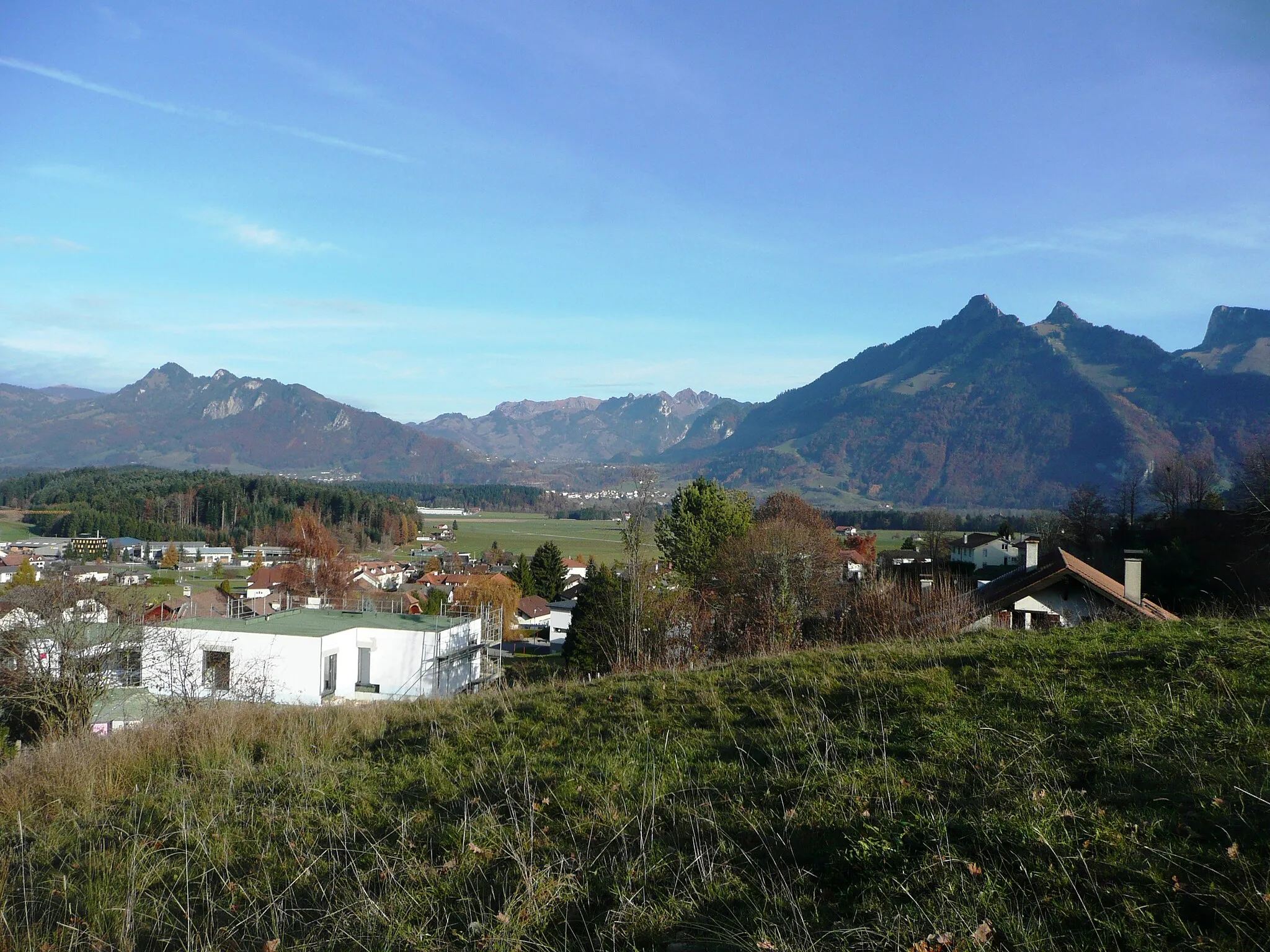
ViewpointViewpointEnjoy a stunning viewpoint on your journey.
0 km
0 km
Château de GruyèresCastleVisit the magnificent Château de Gruyères, a must-see attraction.
5 km
5 km
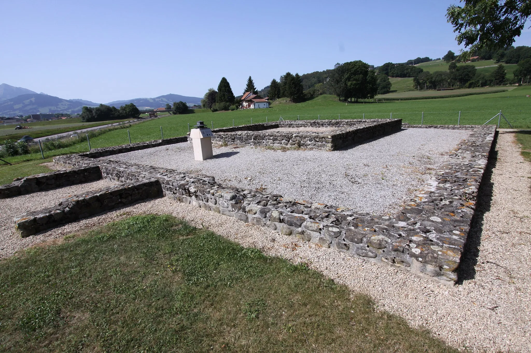
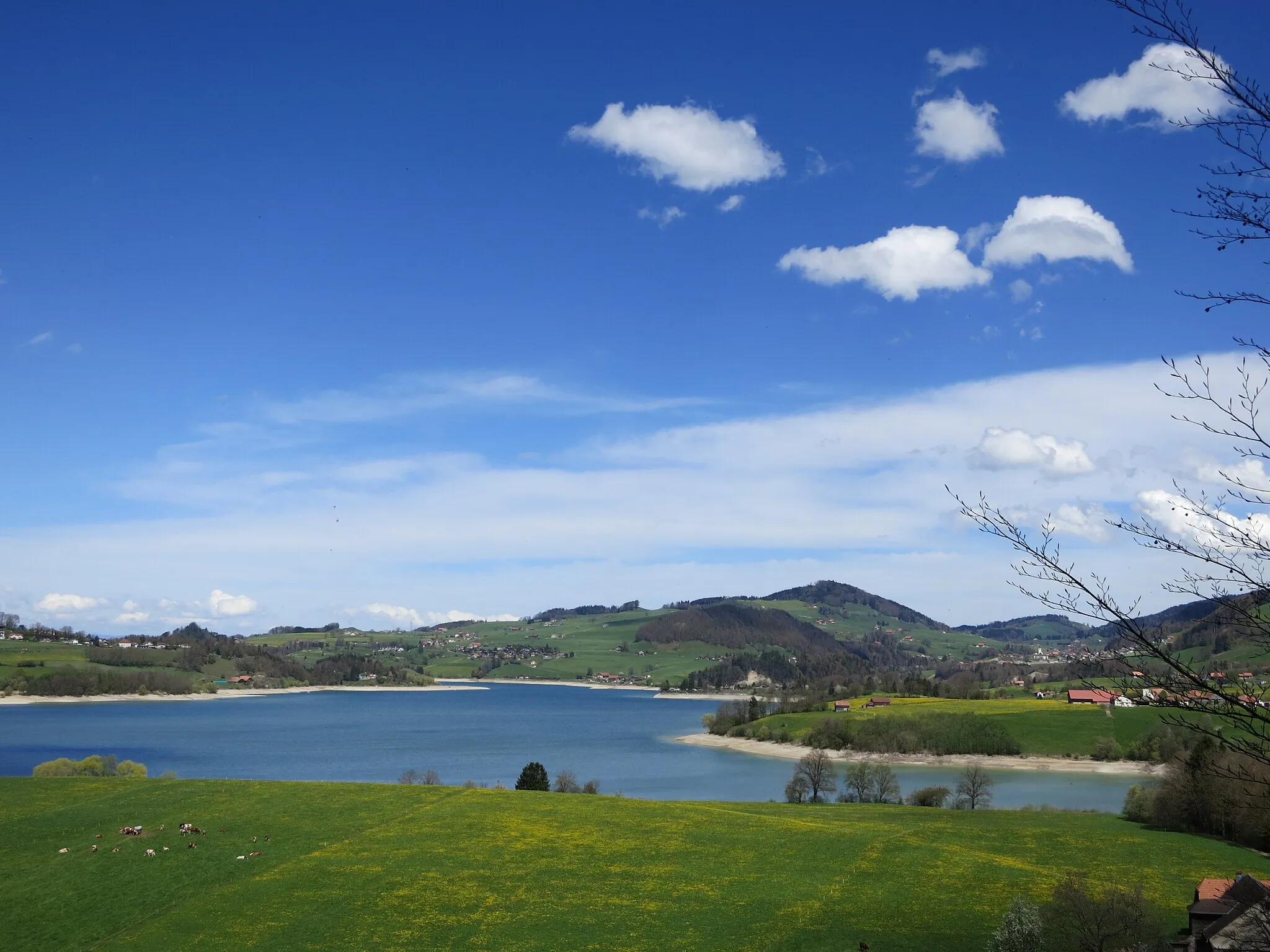
MontsalvensCastleDiscover the beauty of Montsalvens.
8 km
8 km
Vanil de la Monse1436 mPeakConquer the challenging Vanil de la Monse.
19 km
19 km
Vanille de l'Ardille1974 mPeakChallenge yourself on the Vanille de l'Ardille.
28 km
28 km
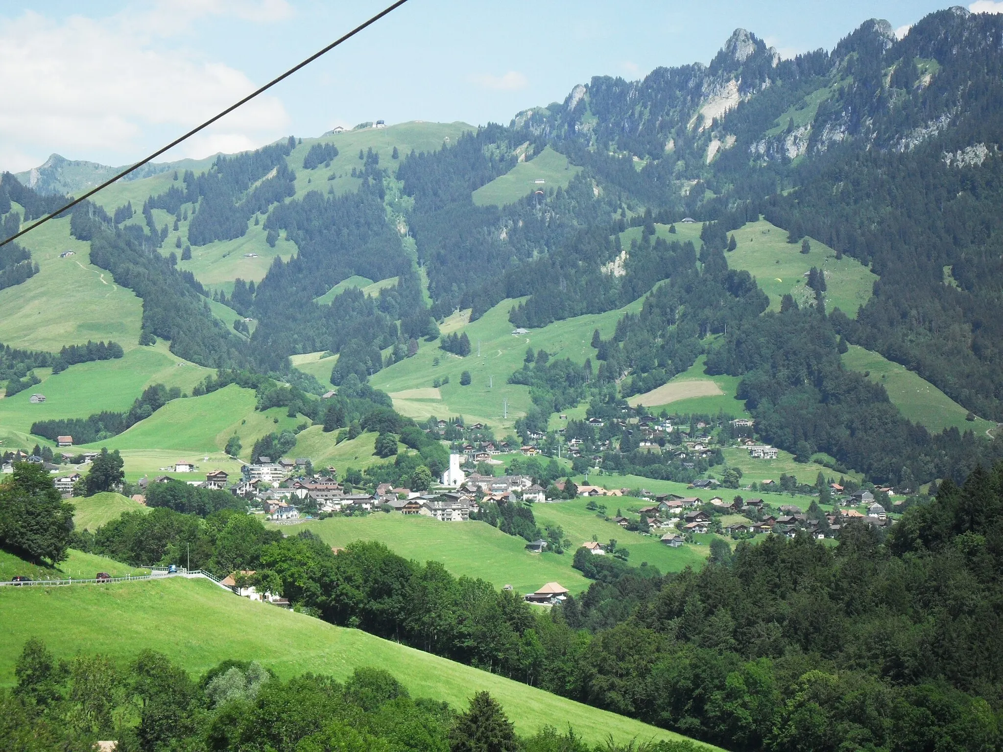
Ciernes PicatHamletTake in the stunning views from Ciernes Picat.
46 km
46 km
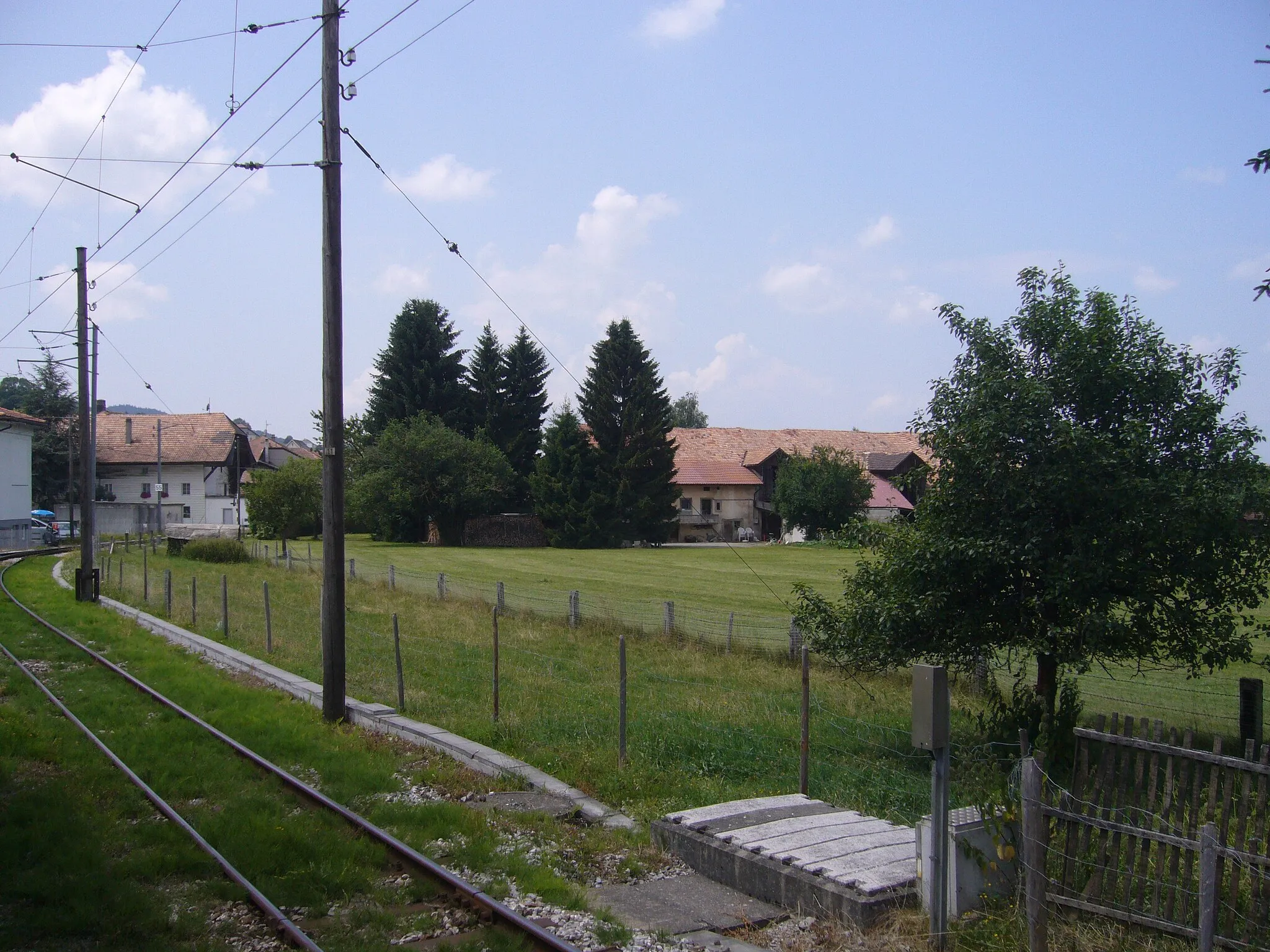
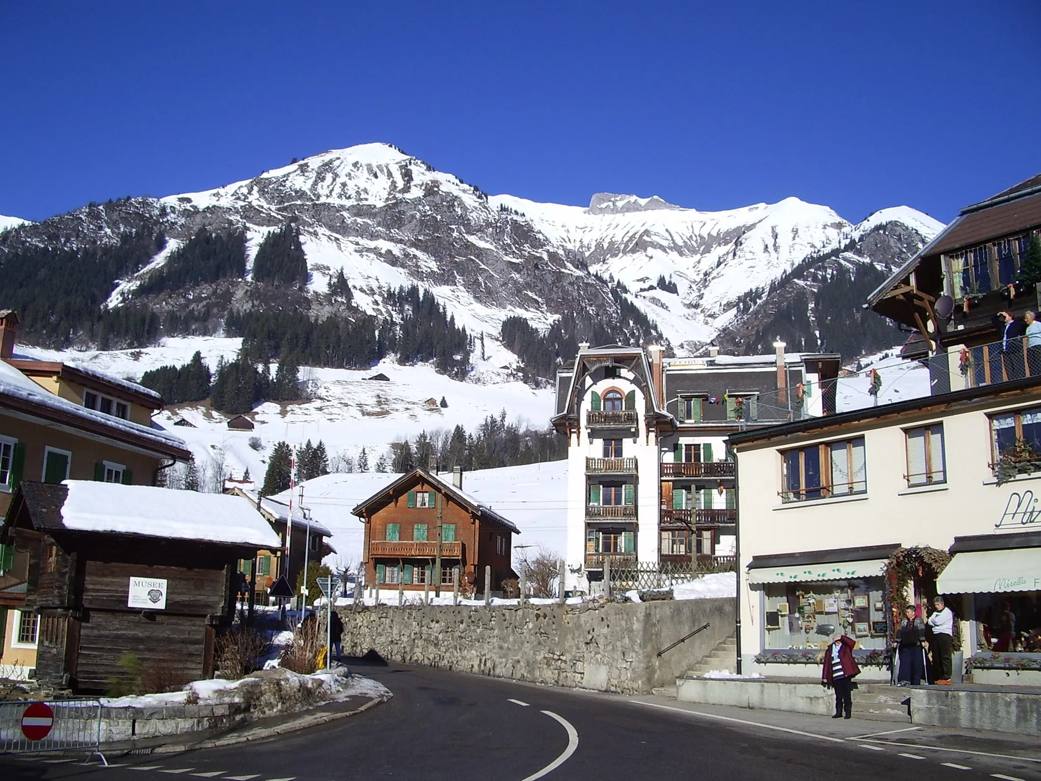
RossinièreVillagePass through the charming village of Rossinière.
55 km
55 km
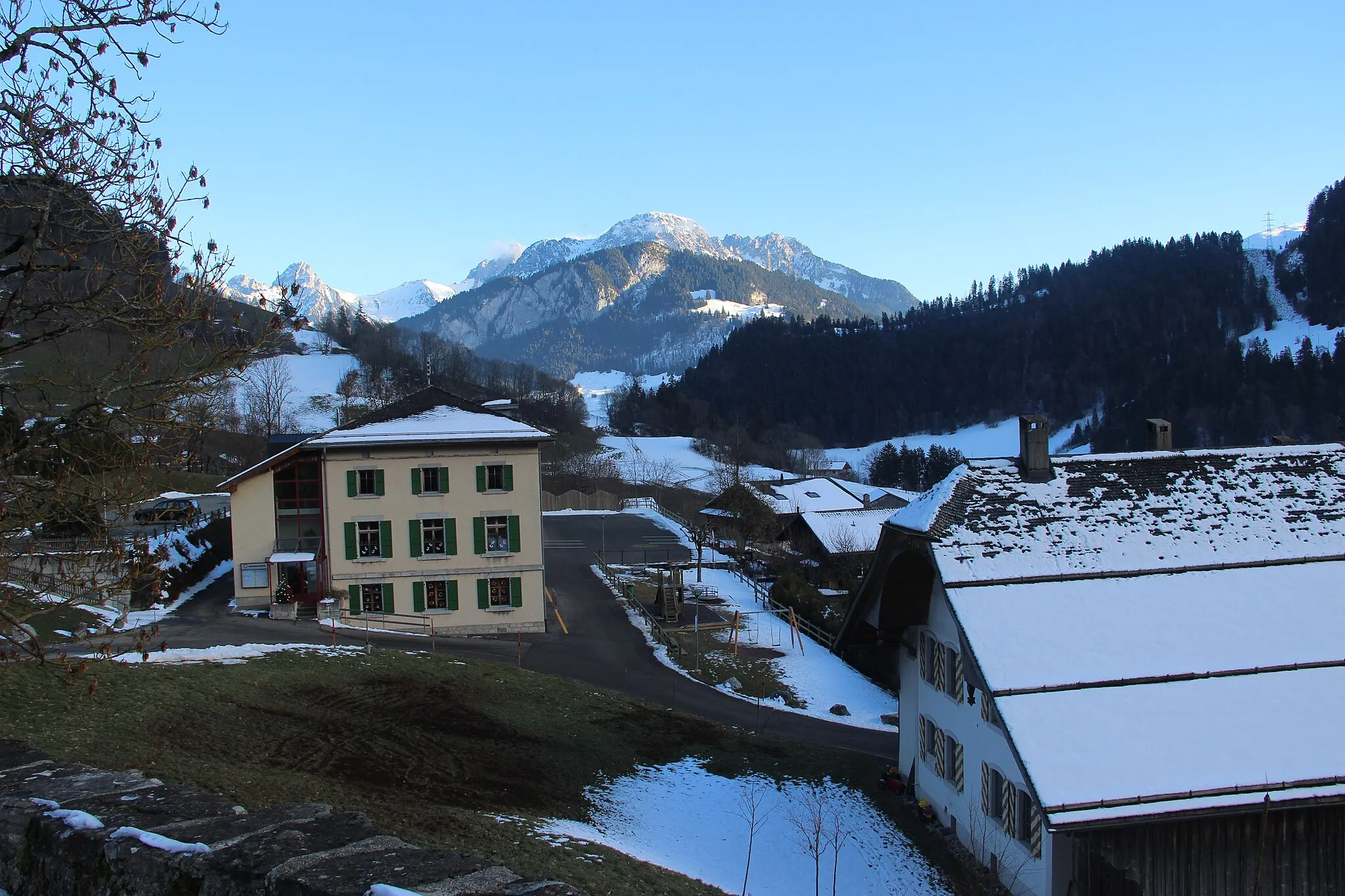
Fontaine de LessocAttractionStop by the beautiful Fountain of Lessoc in the village of the same name.
60 km
60 km
CascadeViewpointMarvel at the Cascade waterfall.
68 km
68 km
GruyèresVillageExplore the historic town of Gruyères.
68 km
68 km
Finish: Gruyères Village centerGruyères: Indulge in a cycling adventure in the picturesque Gruyères
Cycling routes from Gruyeres:
Cycling routes nearby: