Gruyères - Lac de la Gruyère
A road cycling route starting from Gruyeres
Ride from Gruyères to the beautiful Lac de la Gruyère
Map
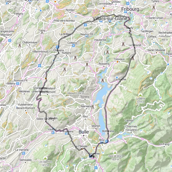
This route takes you from the charming village of Gruyères to the stunning Lac de la Gruyère. Along the way, you will pass through Sâles (Gruyère), Chavannes-sous-Orsonnens, Marly, Botterens, and enjoy a viewpoint overlooking the lake. The total distance is 76 kilometers with an ascent of 1033 meters.
road
76 km
1033 m
Tough
Route profile
Highlights on the route
0 km
0 km
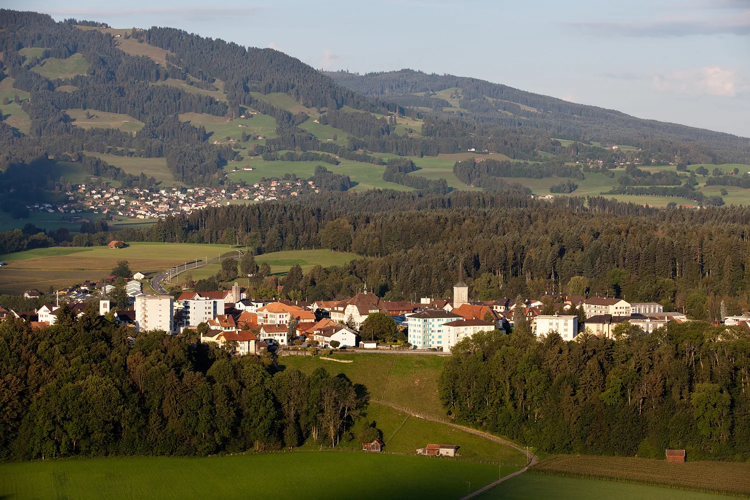
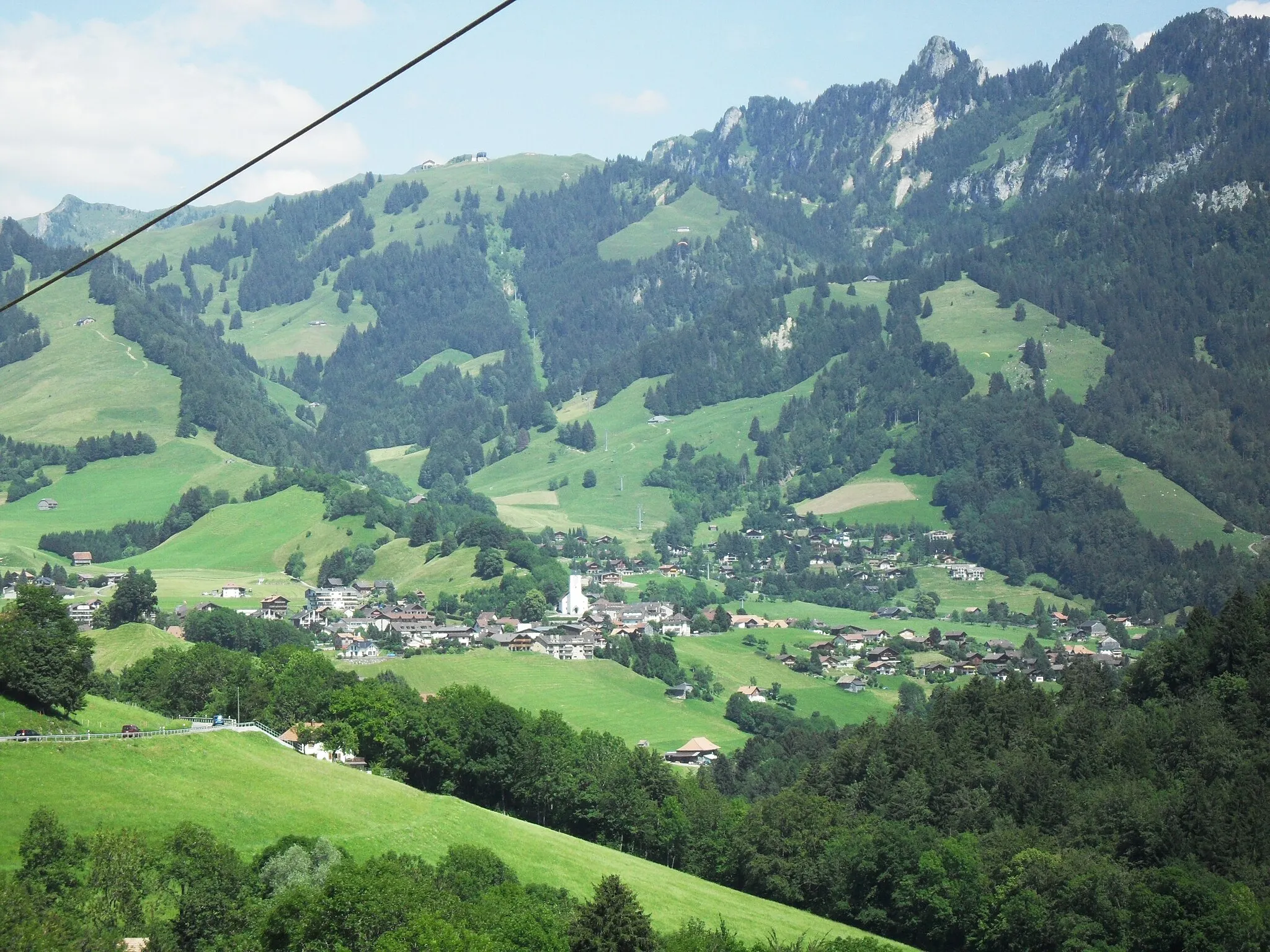
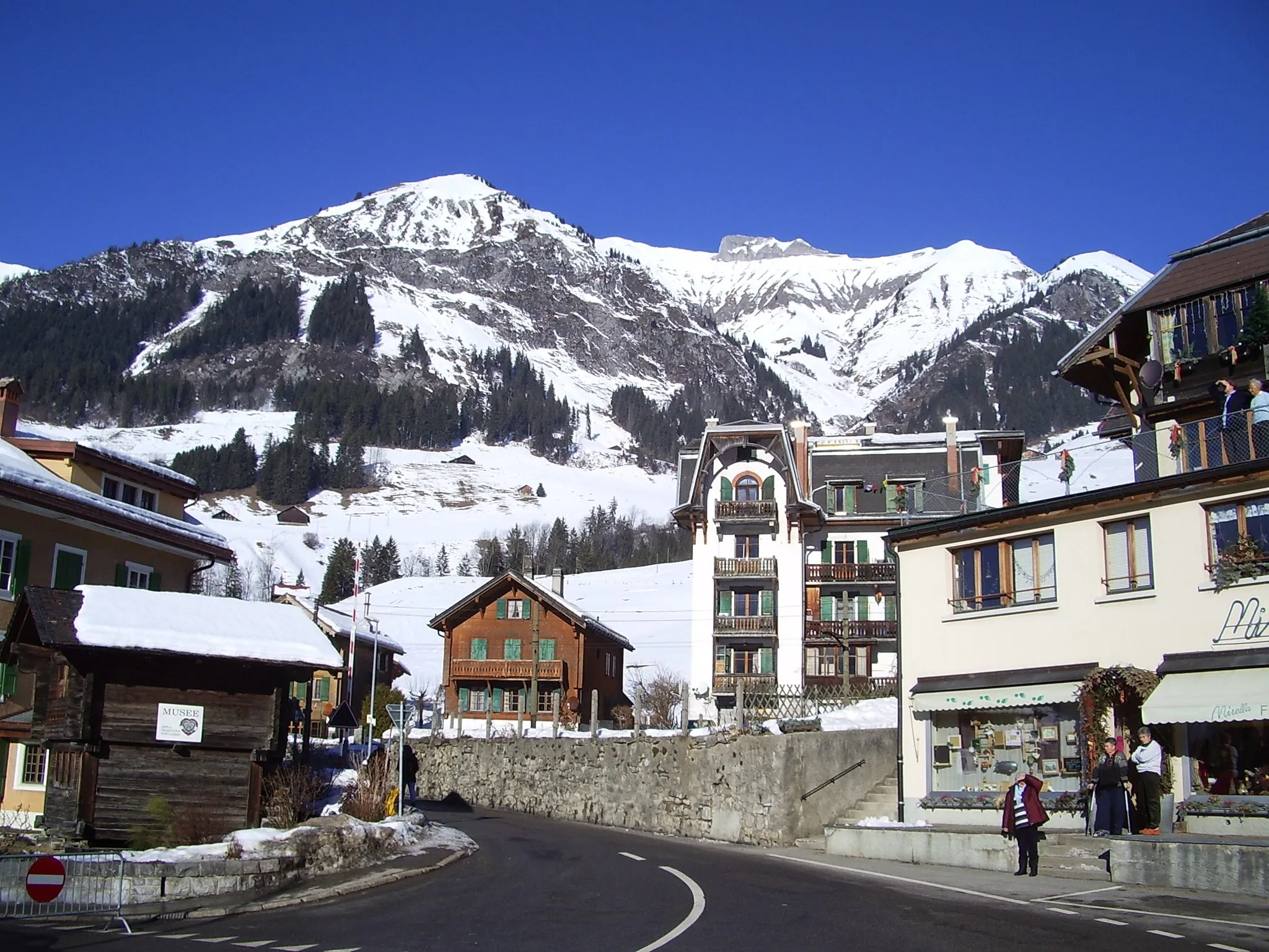
Start: Gruyères Village centerGruyères: Indulge in a cycling adventure in the picturesque Gruyères
Gruyères, situated in the Espace Mittelland region of Switzerland, offers a stunning cycling experience amidst the Swiss countryside. The locality is known for its well-maintained roads and beautiful landscapes that include sprawling meadows and rolling hills. Cyclists can explore the famous cycling spots nearby such as the Moléson climb. Gruyères is a dream destination for both road and gravel cyclists seeking breathtaking scenery, challenging climbs, and delicious Swiss cuisine.13 km
13 km
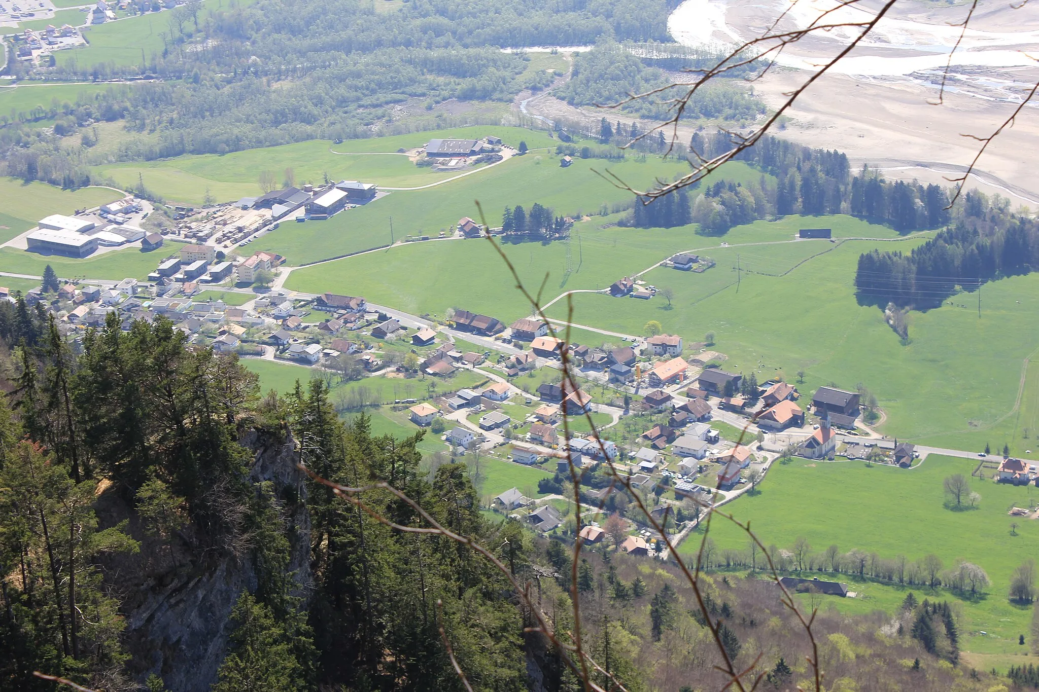
Sâles (Gruyère)VillageSâles (Gruyère) is a picturesque village known for its traditional Swiss architecture and beautiful surroundings.
27 km
27 km
Chavannes-sous-OrsonnensVillageChavannes-sous-Orsonnens is a quaint hamlet with charming countryside views.
48 km
48 km
MarlyVillageMarly is a small town located in the beautiful Pre-Alps region of Switzerland.
63 km
63 km
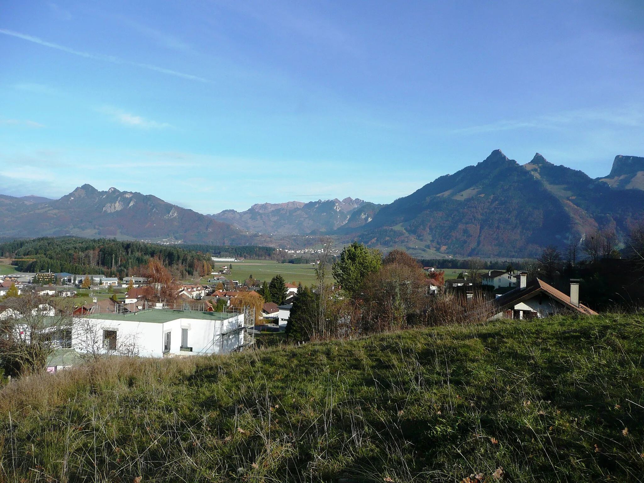
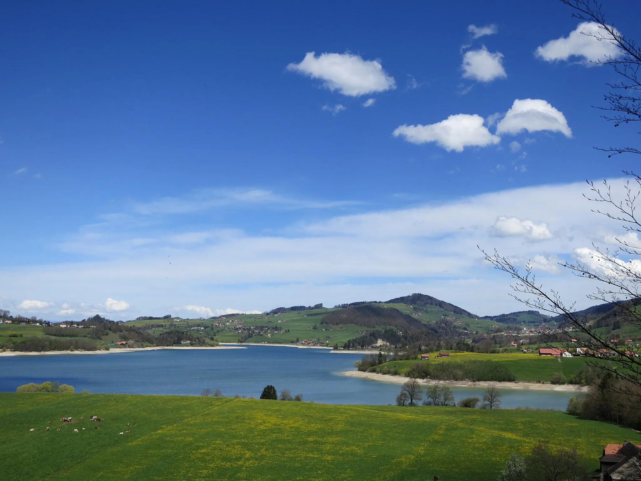
Lac de la GruyèreLakeLac de la Gruyère is a stunning reservoir surrounded by mountains and forests.
68 km
68 km
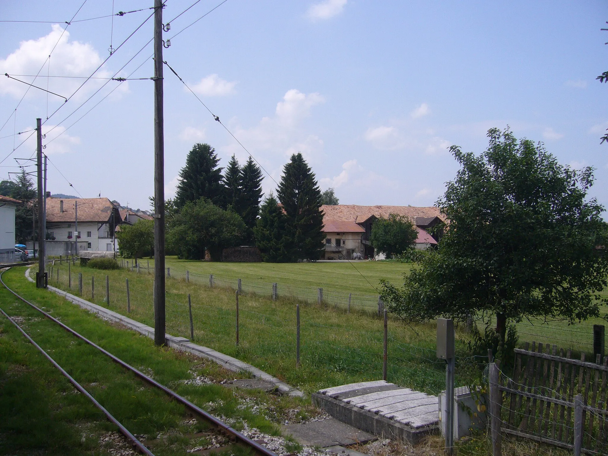
BotterensVillageBotterens is a picturesque village located on the banks of the Saane River.
76 km
76 km
ViewpointViewpointThe viewpoint offers panoramic views of the shimmering blue Lac de la Gruyère.
76 km
76 km
GruyèresVillageGruyères is a medieval town famous for its cheese and charming cobblestone streets.
76 km
76 km
Finish: Gruyères Village centerGruyères: Indulge in a cycling adventure in the picturesque Gruyères
Cycling routes from Gruyeres:
Cycling routes nearby: