Gruyères - Pont-la-Ville
A road cycling route starting from Gruyeres
Explore the beautiful countryside from Gruyères to Pont-la-Ville
Map
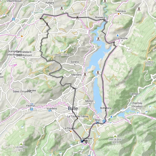
This scenic route takes cyclists through rural landscapes and charming villages, starting from Gruyères and ending at Pont-la-Ville. Along the way, you will pass landmarks such as La Tour-de-Trême, Villarsiviriaux, and the enchanting town of Pont-la-Ville. With a distance of 58 kilometers and an ascent of 994 meters, this ride offers a moderate challenge for cycling enthusiasts.
road
58 km
994 m
Chill
Route profile
Highlights on the route
0 km
0 km
Start: Gruyères Village centerGruyères: Indulge in a cycling adventure in the picturesque Gruyères
Gruyères, situated in the Espace Mittelland region of Switzerland, offers a stunning cycling experience amidst the Swiss countryside. The locality is known for its well-maintained roads and beautiful landscapes that include sprawling meadows and rolling hills. Cyclists can explore the famous cycling spots nearby such as the Moléson climb. Gruyères is a dream destination for both road and gravel cyclists seeking breathtaking scenery, challenging climbs, and delicious Swiss cuisine.4 km
4 km
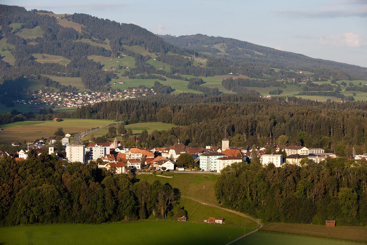
La Tour-de-TrêmeVillageLa Tour-de-Trême is a historic town with well-preserved medieval architecture and a captivating atmosphere.
22 km
22 km
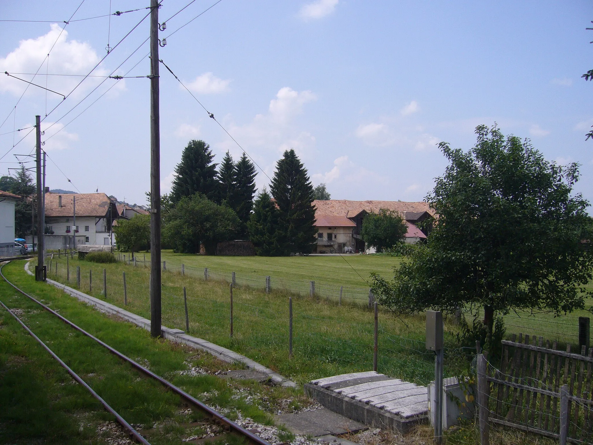
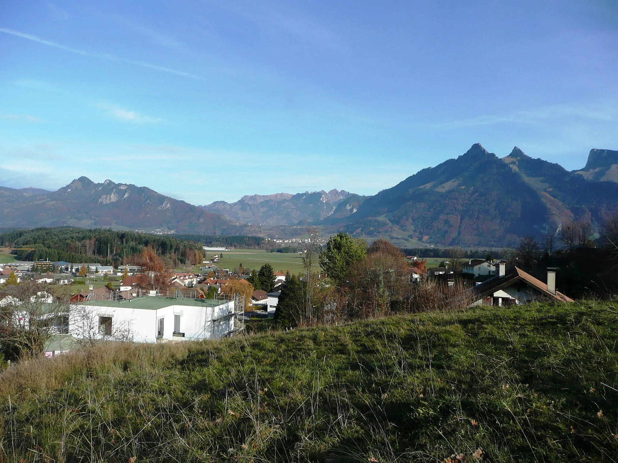
VillarsiviriauxVillageVillarsiviriaux is nestled among rolling hills and offers stunning views of the surrounding countryside.
39 km
39 km
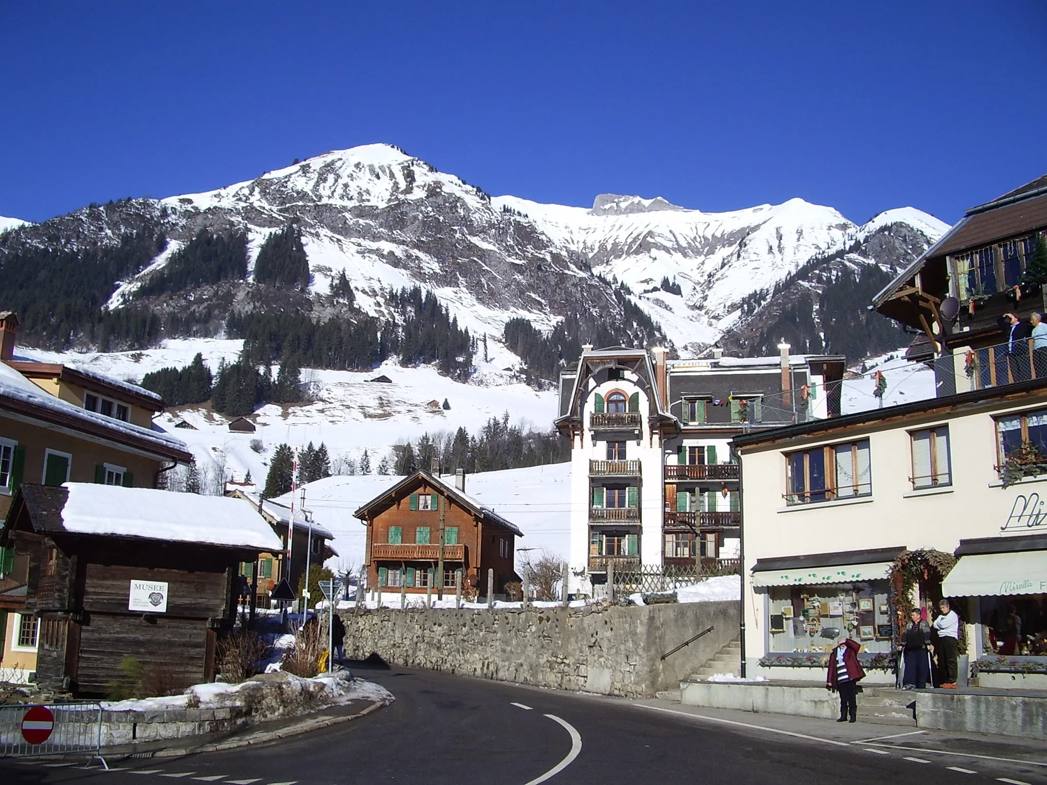
Pont-la-VilleVillagePont-la-Ville is a picturesque village located along the Sarine River, known for its charming old town and riverside promenade.
58 km
58 km
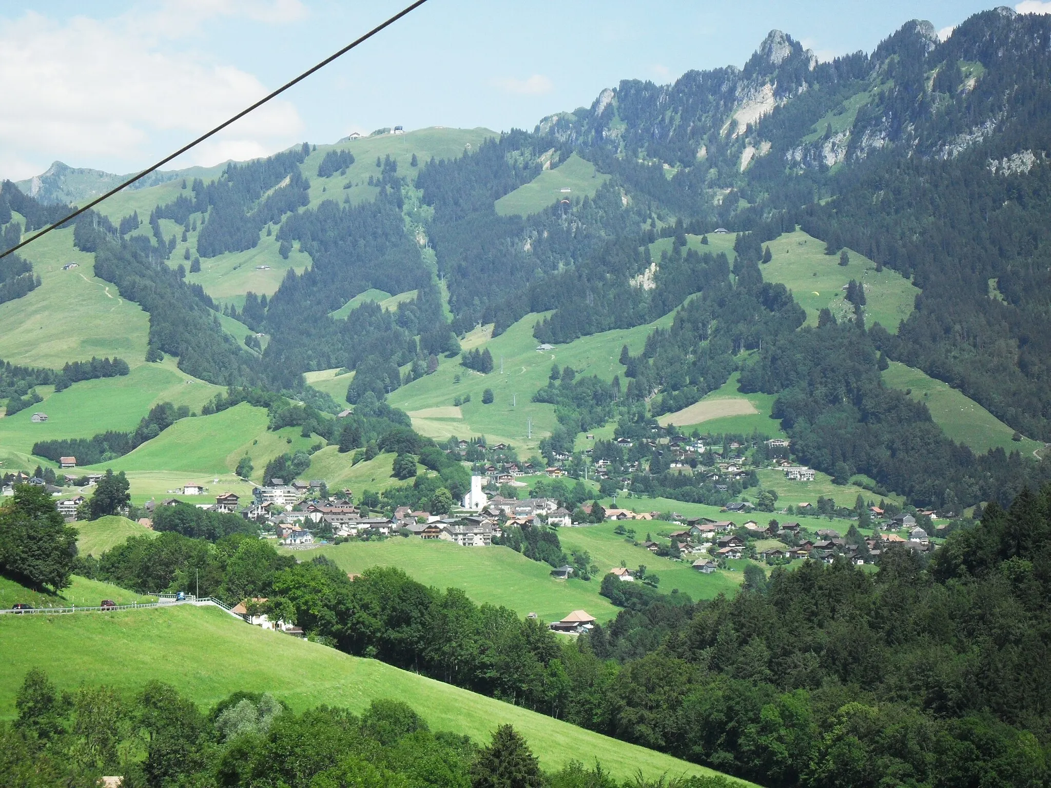
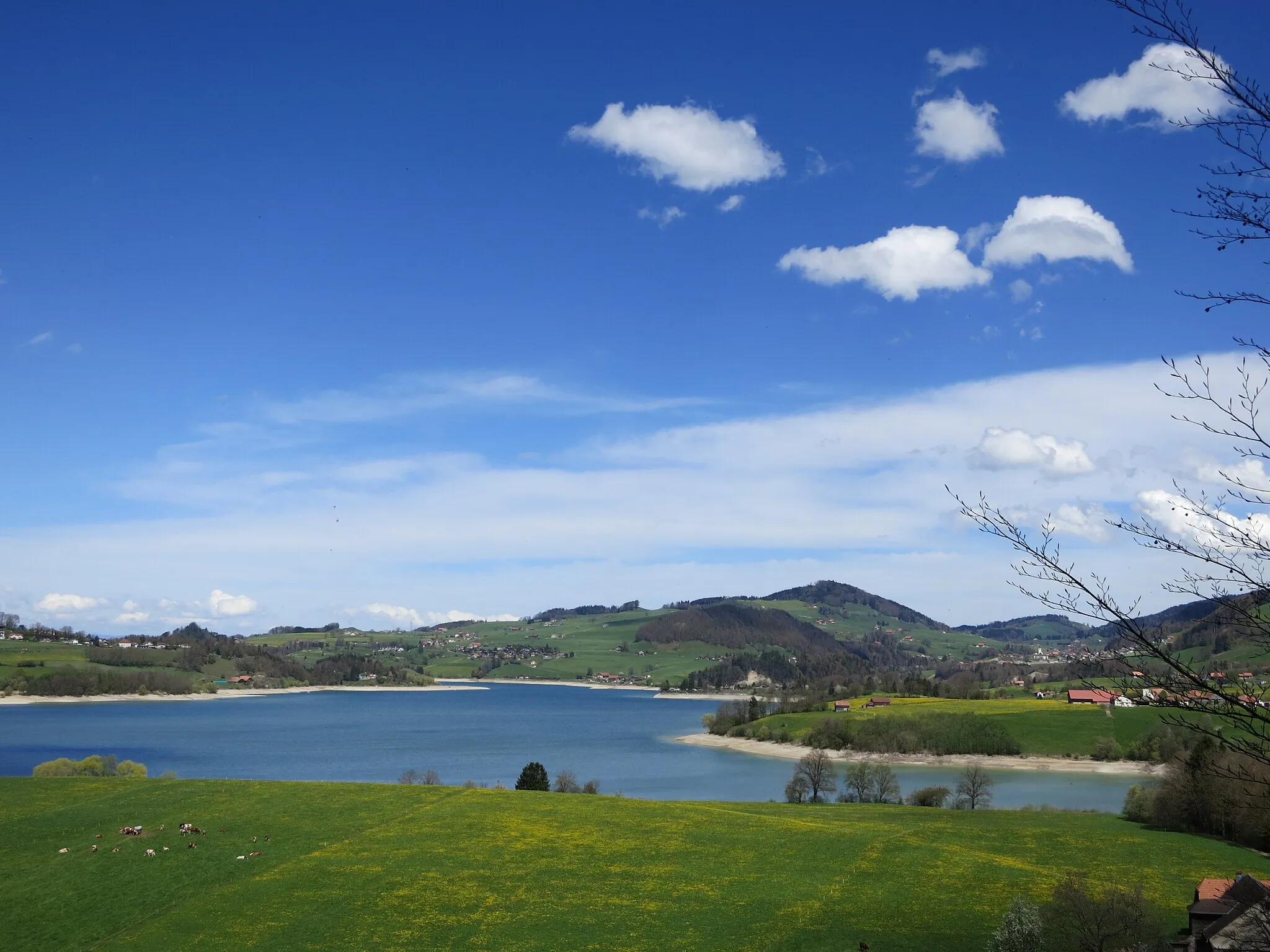
ViewpointViewpointThe viewpoint offers panoramic views of the picturesque landscapes and rolling hills of the region.
58 km
58 km
GruyèresVillageGruyères is a medieval town famous for its cheese and charming cobblestone streets.
58 km
58 km
Finish: Gruyères Village centerGruyères: Indulge in a cycling adventure in the picturesque Gruyères
Cycling routes from Gruyeres:
Cycling routes nearby: