Rhein Highlights
A gravel cycling route starting from Thal
Explore the scenic beauty along the Rhine River
Map
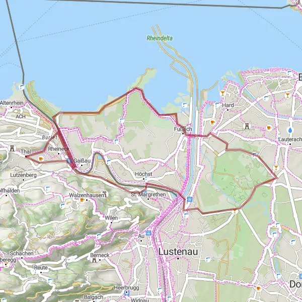
This cycling route takes you along the enchanting Rhine River, providing beautiful views of the surroundings. With a distance of 36 km and an ascent of 65 meters, it is suitable for gravel bikes. The route includes highlights such as the Aussichtsplattform (viewing platform), Gaißau, Fußach, Höchst, and Lutzenberg. These stops offer breathtaking vistas and picturesque landscapes. The difficulty of the route is moderate, scoring a 3 out of 5, making it ideal for well-trained amateur cyclists. It offers an epicness rating of 3 out of 5, providing enjoyable cycling experiences.
gravel
36 km
65 m
Tough
Route profile
Highlights on the route
0 km
0 km
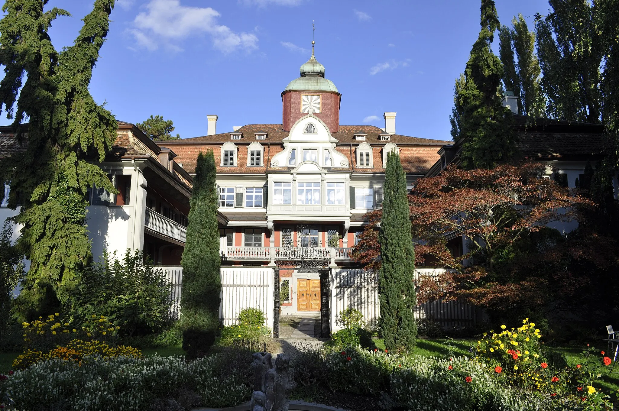
Start: Thal Village centerThal: Scenic cycling haven in Ostschweiz
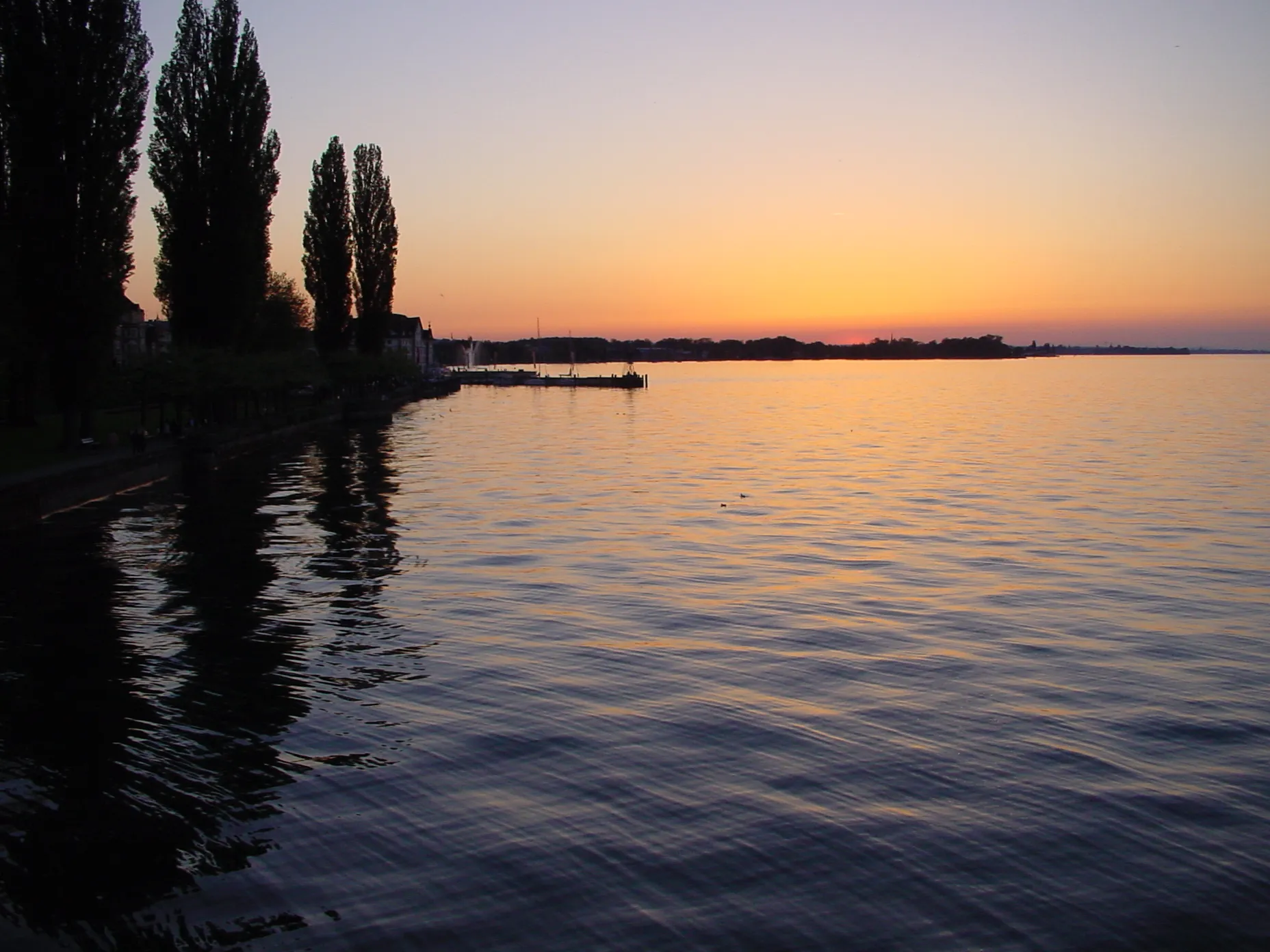
Thal, located in the Ostschweiz region of Switzerland, is a cyclist's paradise offering breathtaking routes and stunning landscapes. With its well-developed cycling infrastructure, Thal provides a safe and convenient environment for road and gravel cyclists. Cyclists can enjoy scenic rides along Lake Constance and explore the picturesque countryside with its rolling hills and vineyards. One of the famous cycling climbs nearby is the Hangebrust climb, known for its challenging gradient and panoramic views from the top.0 km
0 km
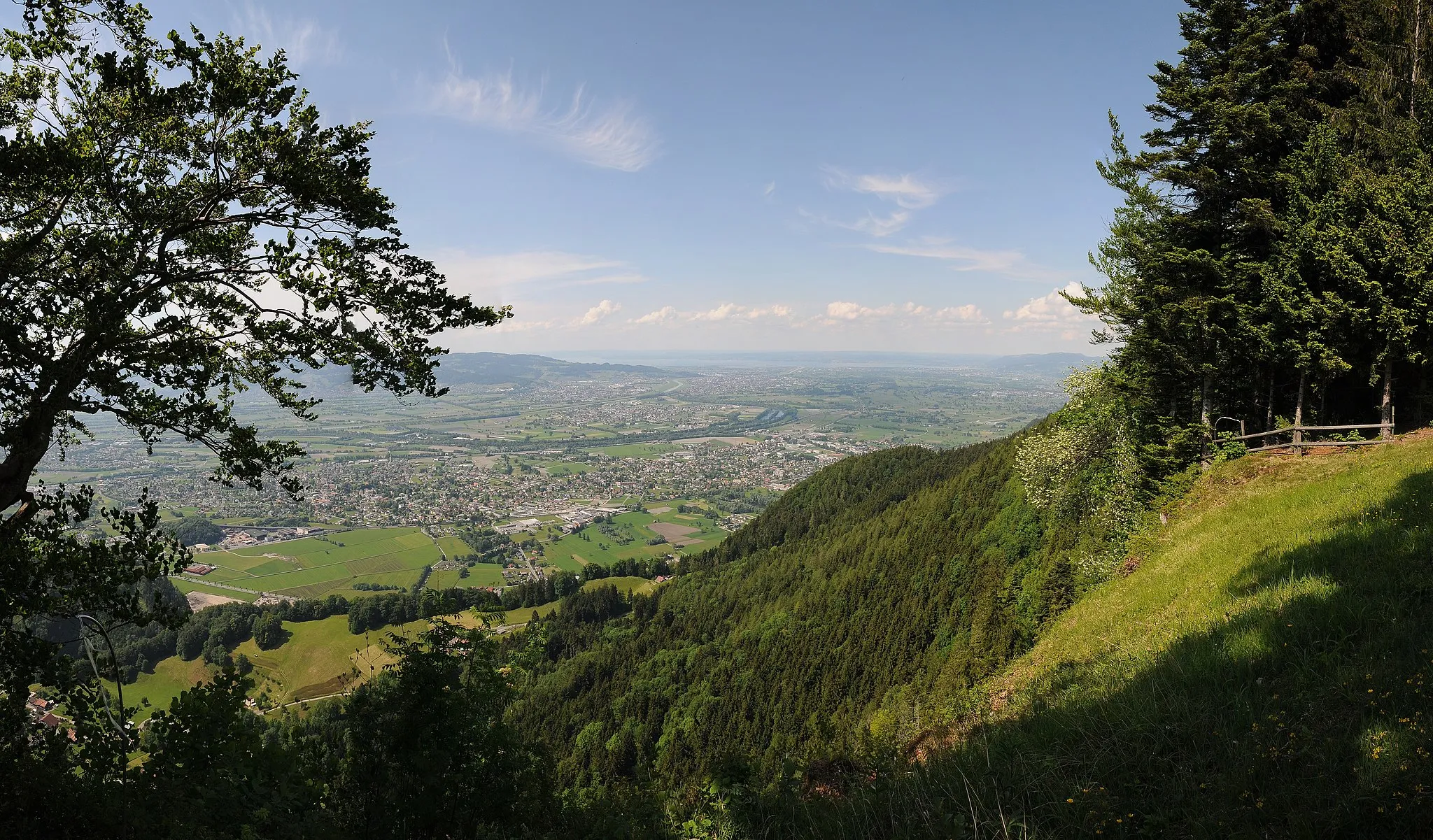
AussichtsplattformViewpointThe Aussichtsplattform offers panoramic views of the Rhine River and the surrounding countryside.
4 km
4 km
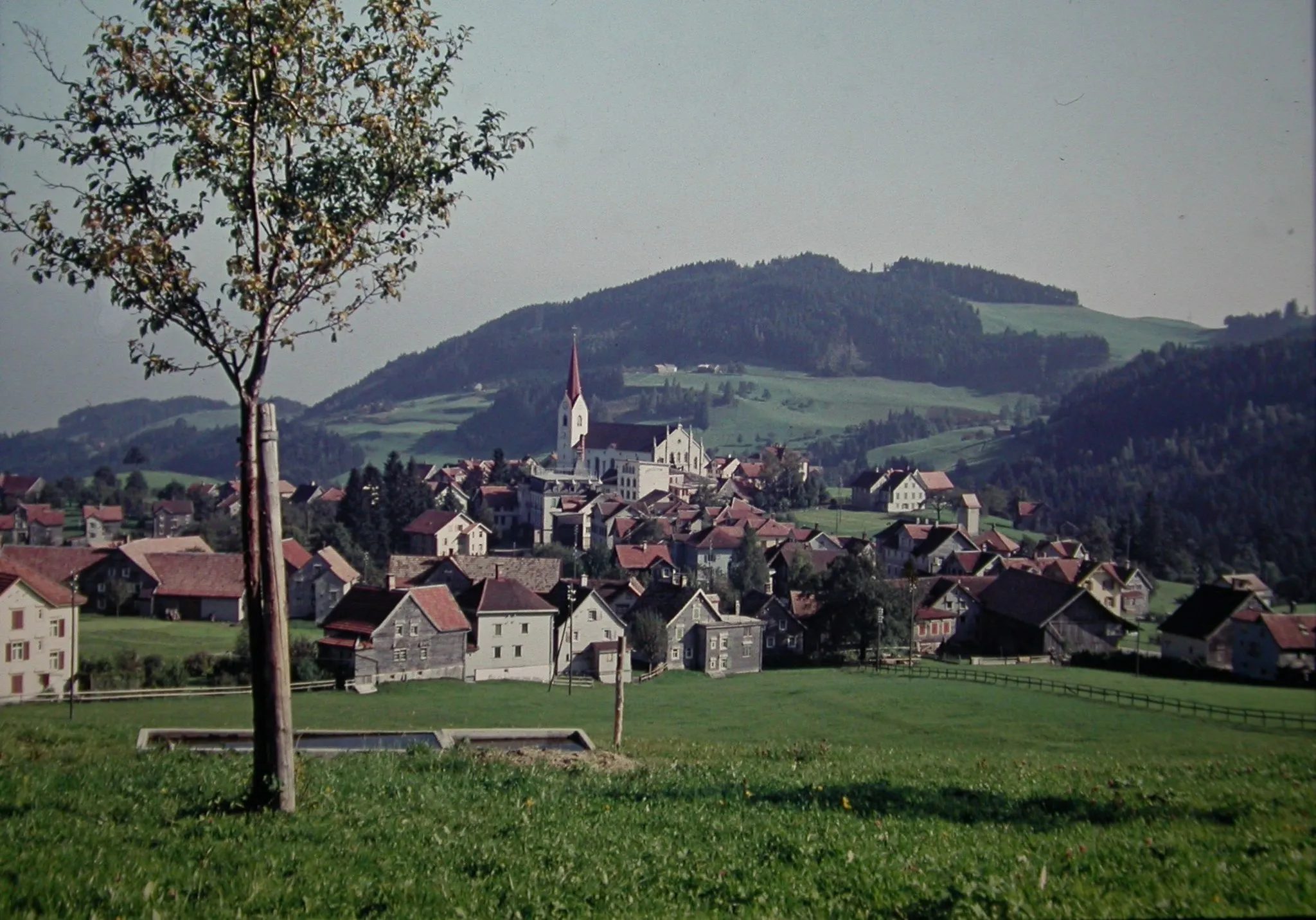
GaißauVillageGaißau is a picturesque village known for its charming atmosphere and natural beauty.
15 km
15 km
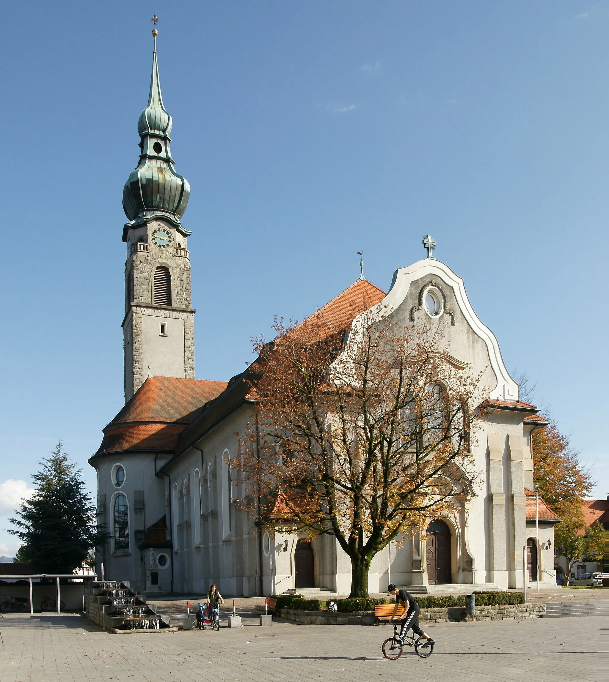
FußachVillageFußach is a tranquil town situated on the banks of the Rhine River, offering peaceful surroundings.
28 km
28 km
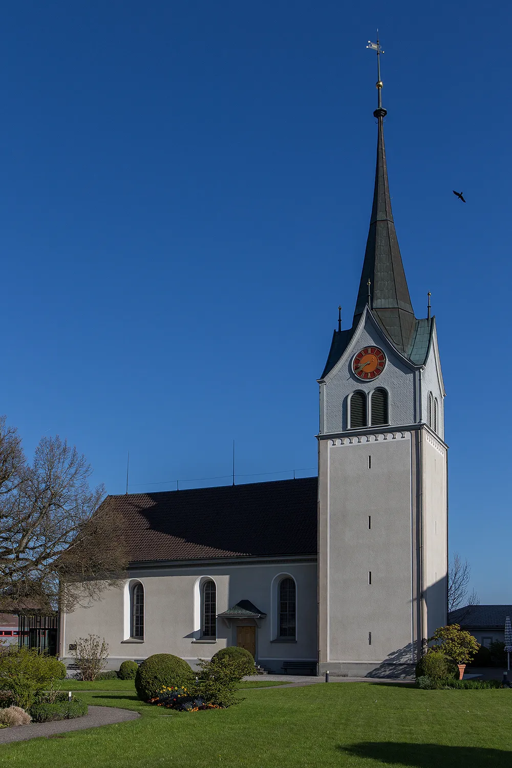
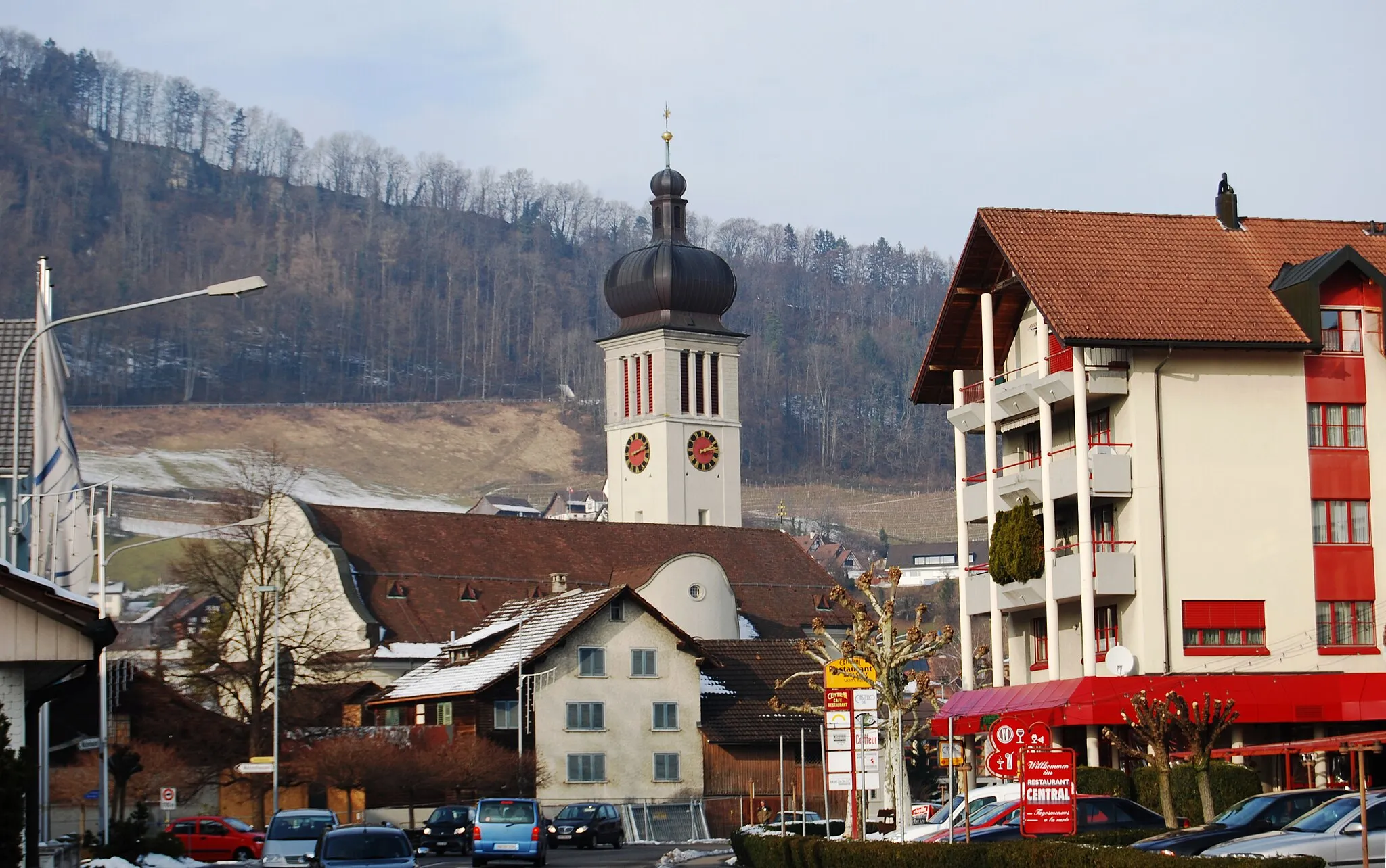
HöchstVillageHöchst is a small village with historical buildings and a lovely riverside promenade.
35 km
35 km
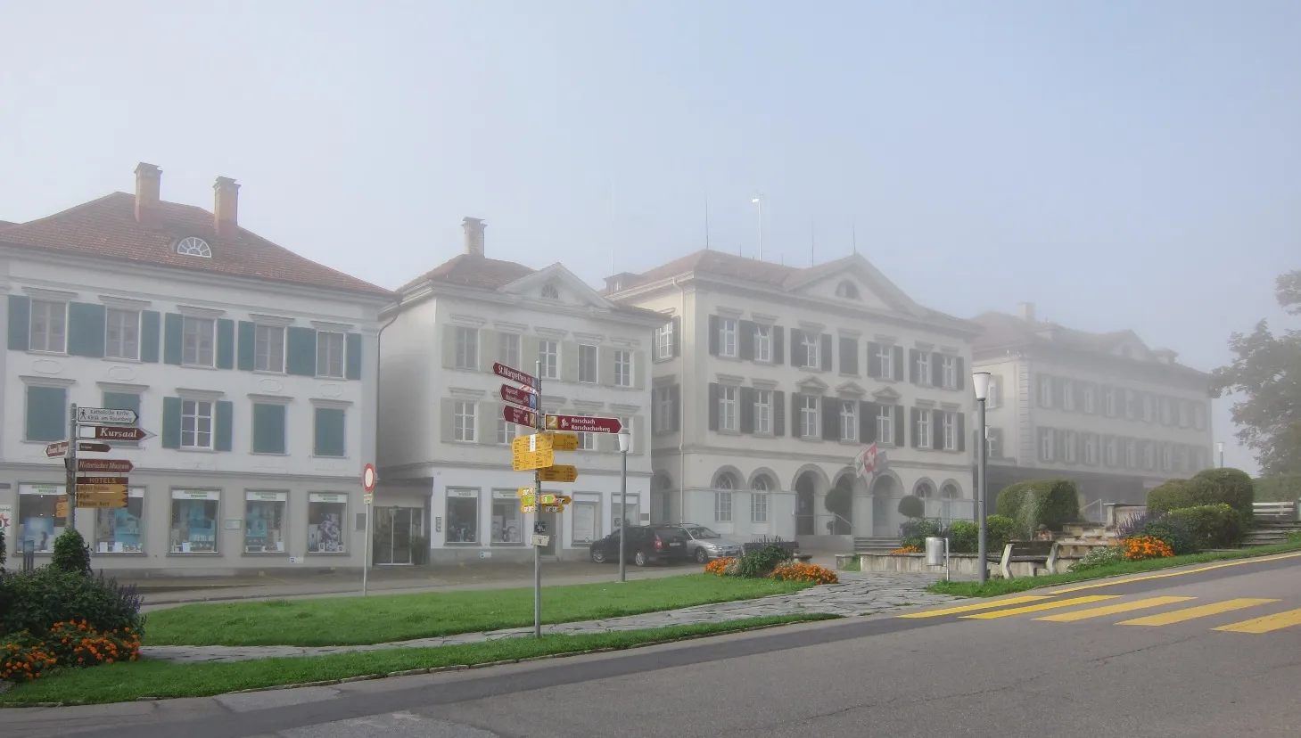
LutzenbergVillageLutzenberg is a hilltop village known for its stunning views of Lake Constance and the Alps.
36 km
36 km
Finish: Thal Village centerThal: Scenic cycling haven in Ostschweiz
Cycling routes nearby: