Alpine Ascend
A road cycling route starting from Thal
Conquer epic climbs in the Alps
Map
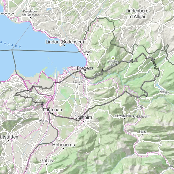
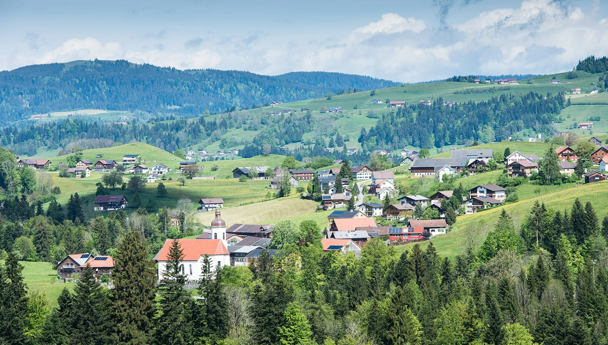
The Alpine Ascend is a challenging cycling route that takes you through the breathtaking Alpine region. With a total distance of 92 kilometers and an ascent of 1863 meters, it is a true test of endurance for serious cyclists. The route features several highlights, including the historic town of Rheineck, the picturesque Gebhardsberg summit, and the legendary Geserberg climb. It also passes through Langen bei Bregenz, known for its stunning views of Lake Constance, and Galgenholz, a scenic woodland area. Overall, the Alpine Ascend offers cyclists the opportunity to conquer epic climbs, soak in the majestic beauty of the Alps, and experience the thrill of cycling in a truly dramatic landscape.
road
92 km
1863 m
Savage
Route profile
Highlights on the route
0 km
0 km
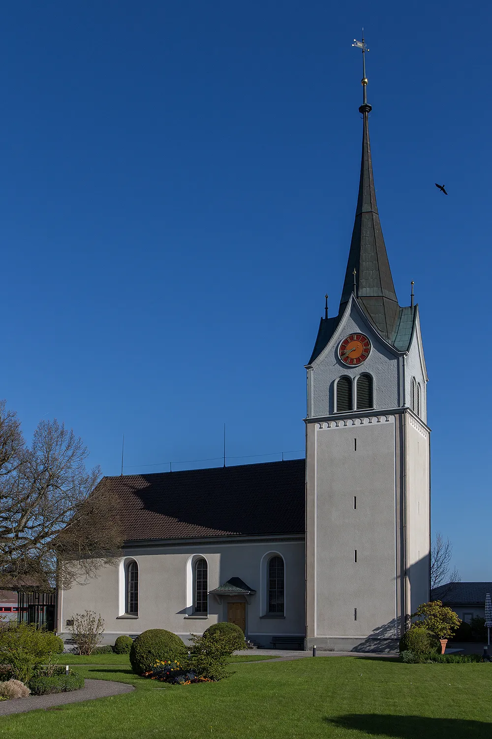
Start: Lutzenberg Village centerThal: Scenic cycling haven in Ostschweiz
Thal, located in the Ostschweiz region of Switzerland, is a cyclist's paradise offering breathtaking routes and stunning landscapes. With its well-developed cycling infrastructure, Thal provides a safe and convenient environment for road and gravel cyclists. Cyclists can enjoy scenic rides along Lake Constance and explore the picturesque countryside with its rolling hills and vineyards. One of the famous cycling climbs nearby is the Hangebrust climb, known for its challenging gradient and panoramic views from the top.1 km
1 km
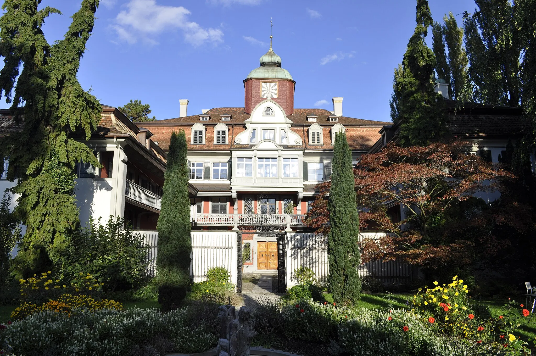
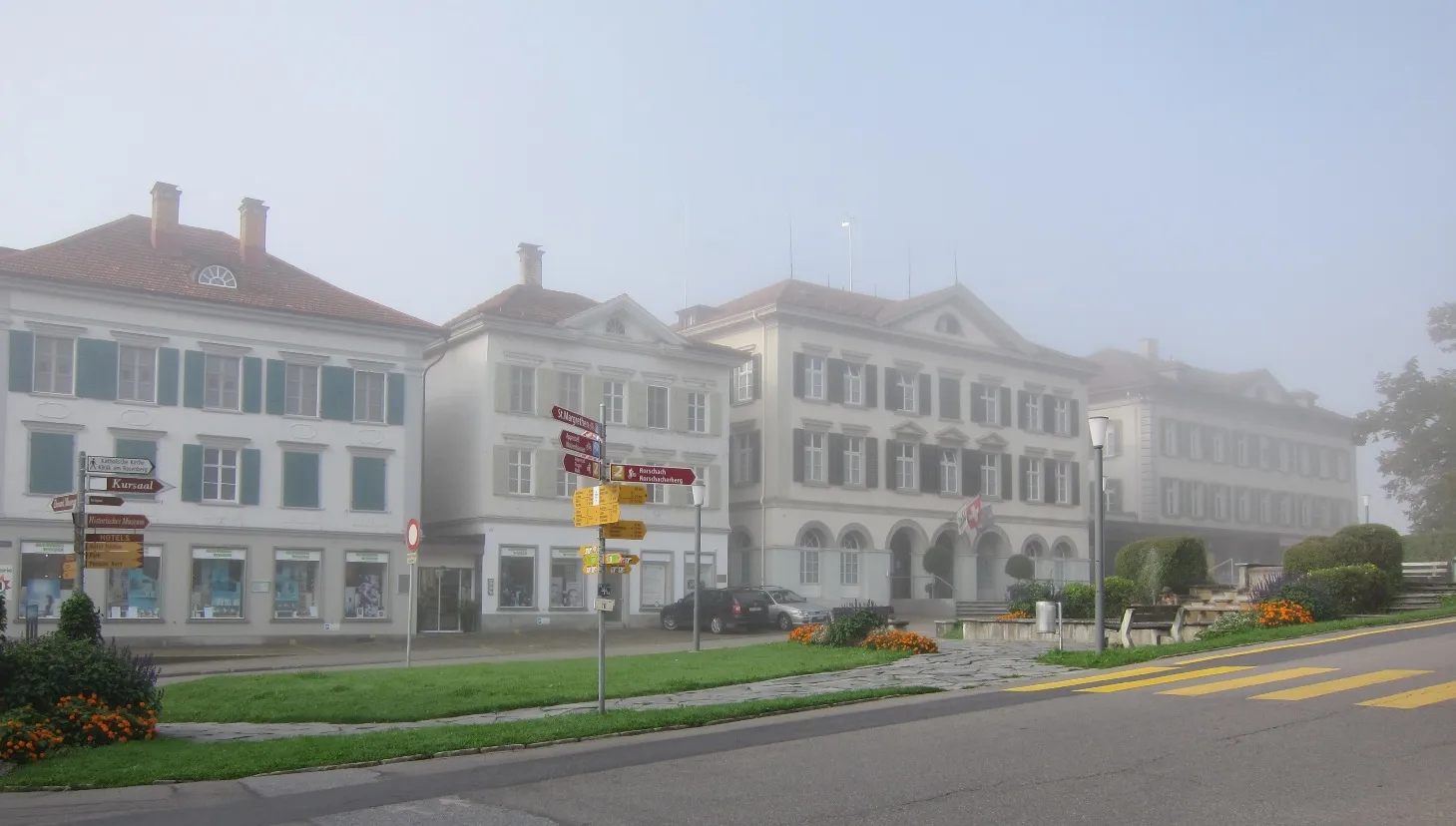
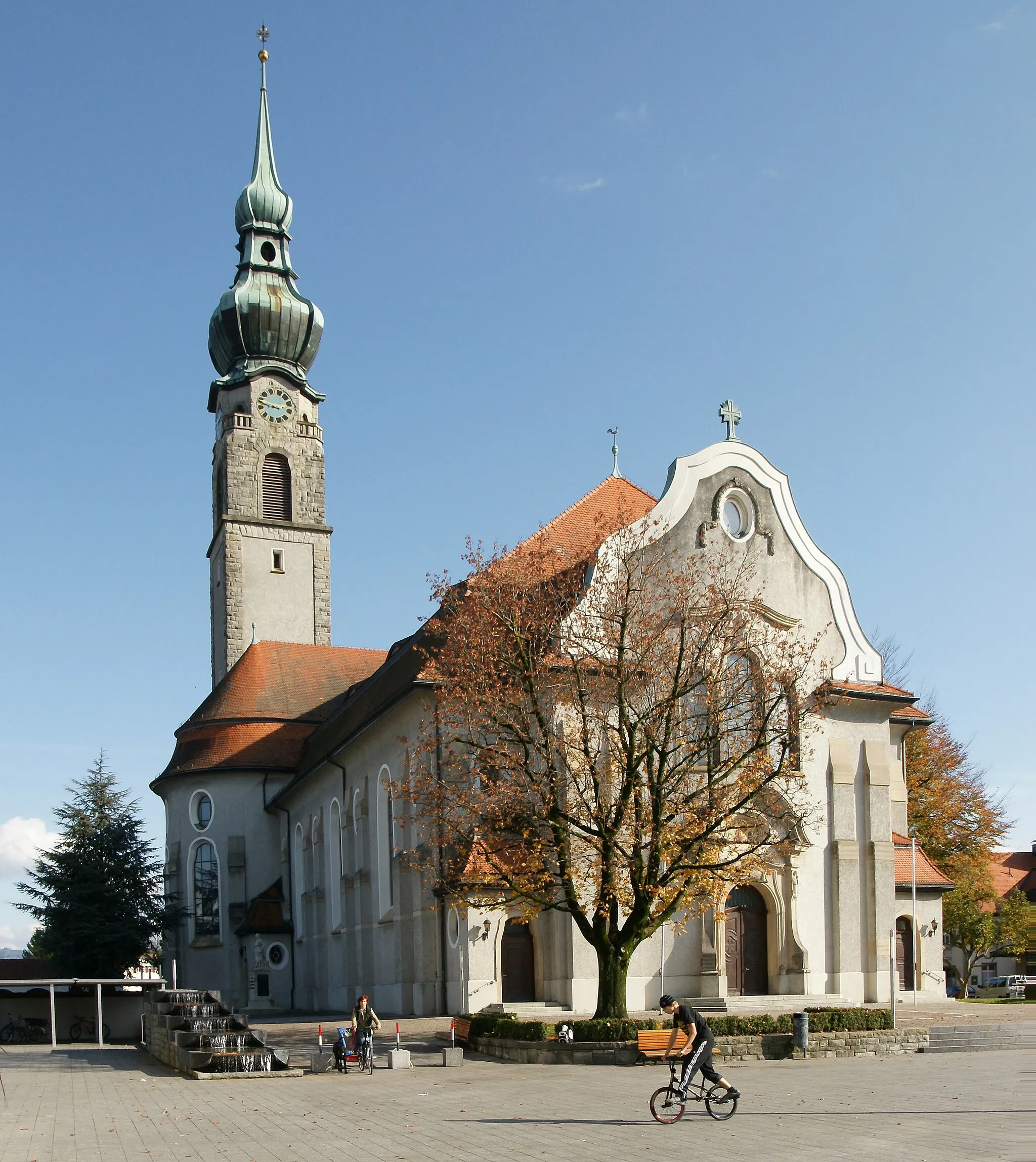
RheineckVillageRheineck is a charming town steeped in history and offers a picturesque setting for your cycling journey.
17 km
17 km
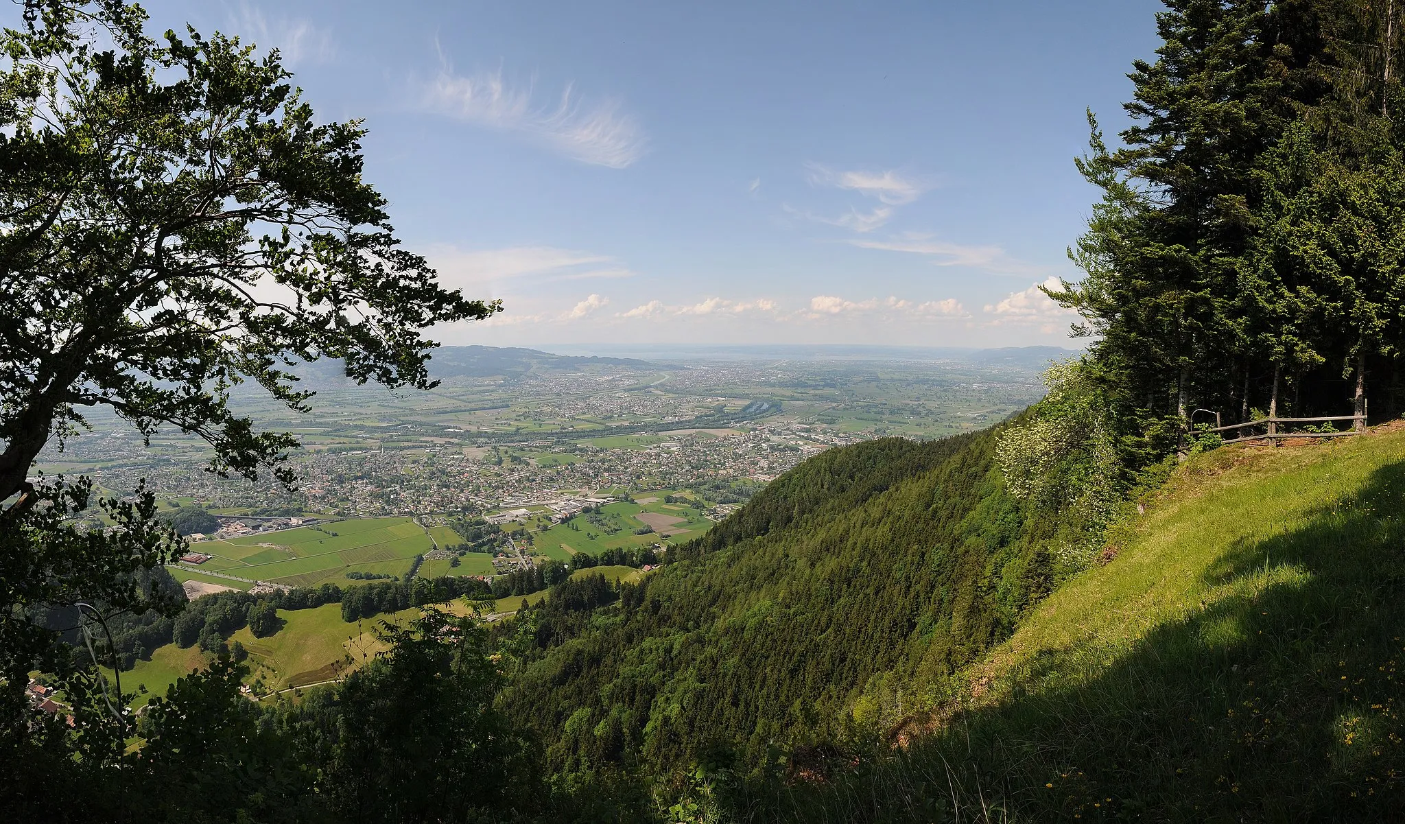
GebhardsbergViewpointGebhardsberg is a prominent summit offering stunning panoramic views of the surrounding Alpine landscape, providing a rewarding experience for cyclists.
25 km
25 km
Geserberg1012 mPeakGeserberg is a renowned climb in the Alps famous for its challenging gradients and captivating views, making it a favorite among cyclists seeking a true alpine adventure.
26 km
26 km
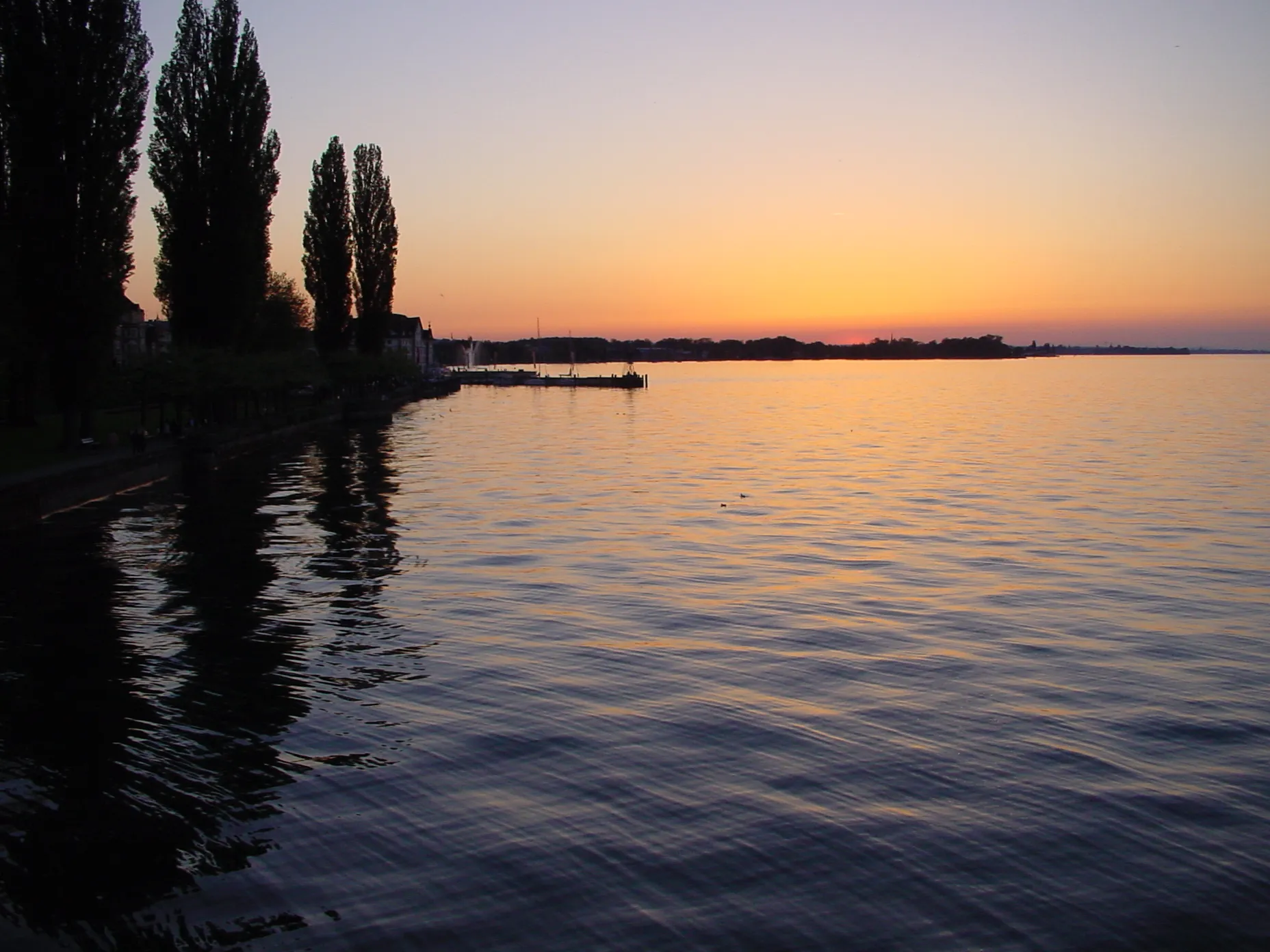
Langen bei BregenzVillageLangen bei Bregenz is a scenic area that offers breathtaking views of Lake Constance, providing a memorable backdrop for cyclists conquering the Alpine Ascend.
37 km
37 km
Galgenholz1030 mPeakGalgenholz is a picturesque woodland area known for its tranquil atmosphere and beautiful nature trails, perfect for a peaceful break during your climbing challenge.
51 km
51 km
LangeneggVillageLangenegg is a charming village surrounded by idyllic countryside, showcasing the natural beauty of the Alpine region.
61 km
61 km
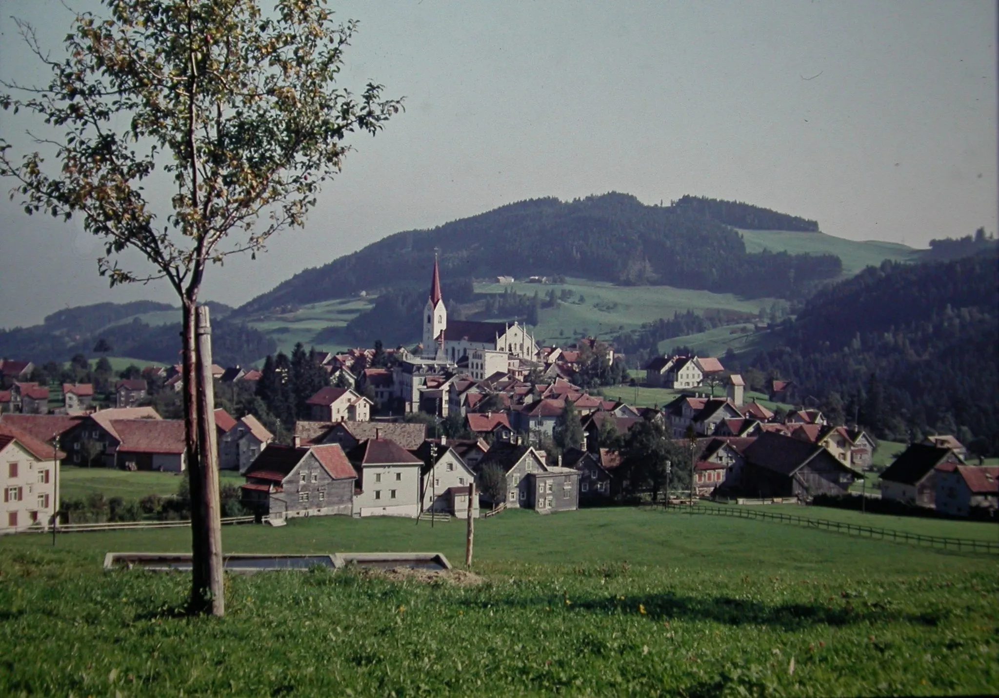
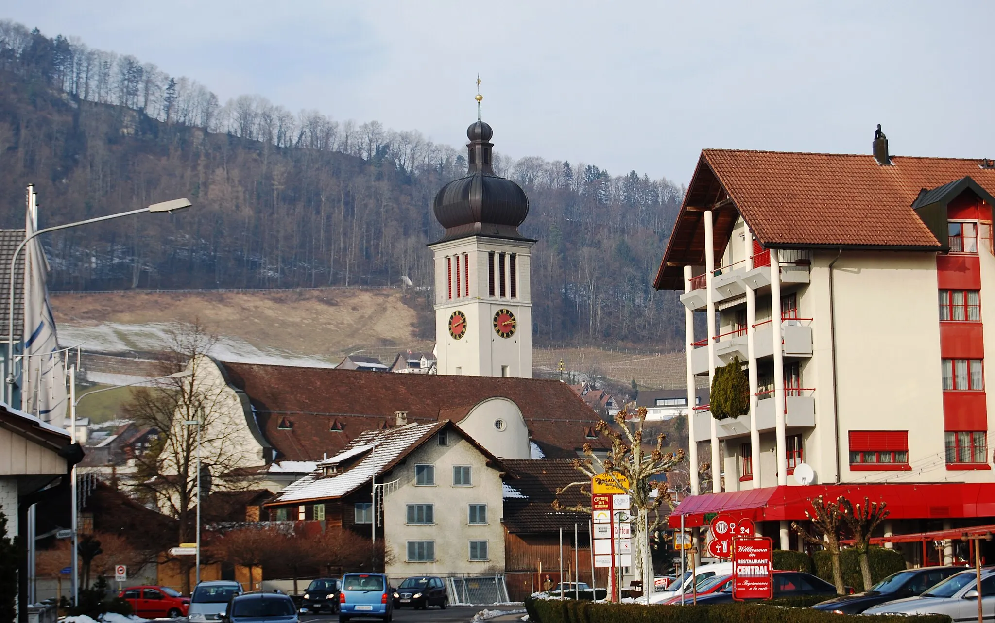
AlberschwendeVillageAlberschwende is a quaint village nestled in the Alps and offers scenic views and a quiet retreat for cyclists.
64 km
64 km
Farnach758 mMountain PassFarnach is a scenic spot with panoramic views of the surrounding mountains and valleys, providing a serene experience in the heart of the Alpine region.
87 km
87 km
WalzenhausenVillageWalzenhausen is a charming village that offers breathtaking elevated views of Lake Constance and the surrounding Alps, making it a highlight of the Alpine Ascend.
92 km
92 km
Finish: Lutzenberg Village centerThal: Scenic cycling haven in Ostschweiz
Cycling routes nearby: