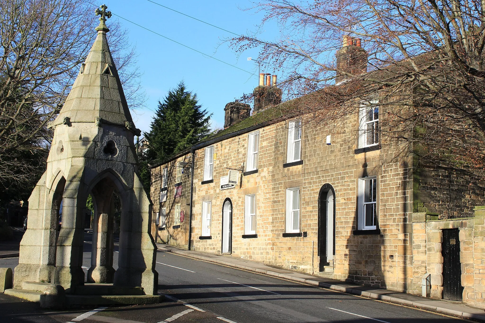
Uncovering the natural beauty and cycling delights of Dronfield.
Cycling routes from Dronfield
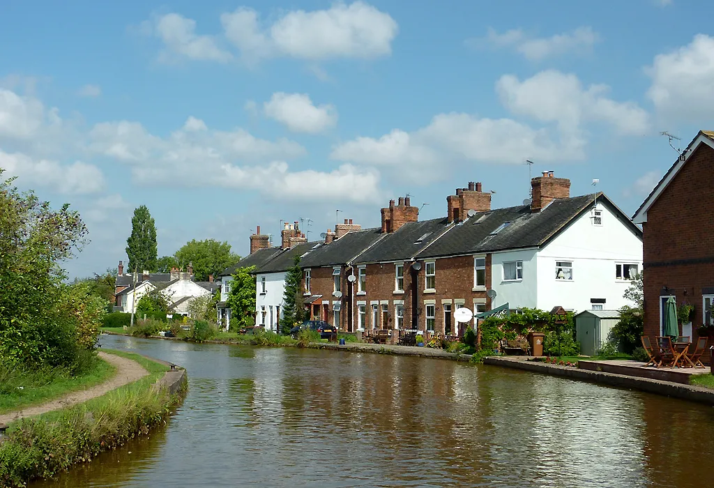
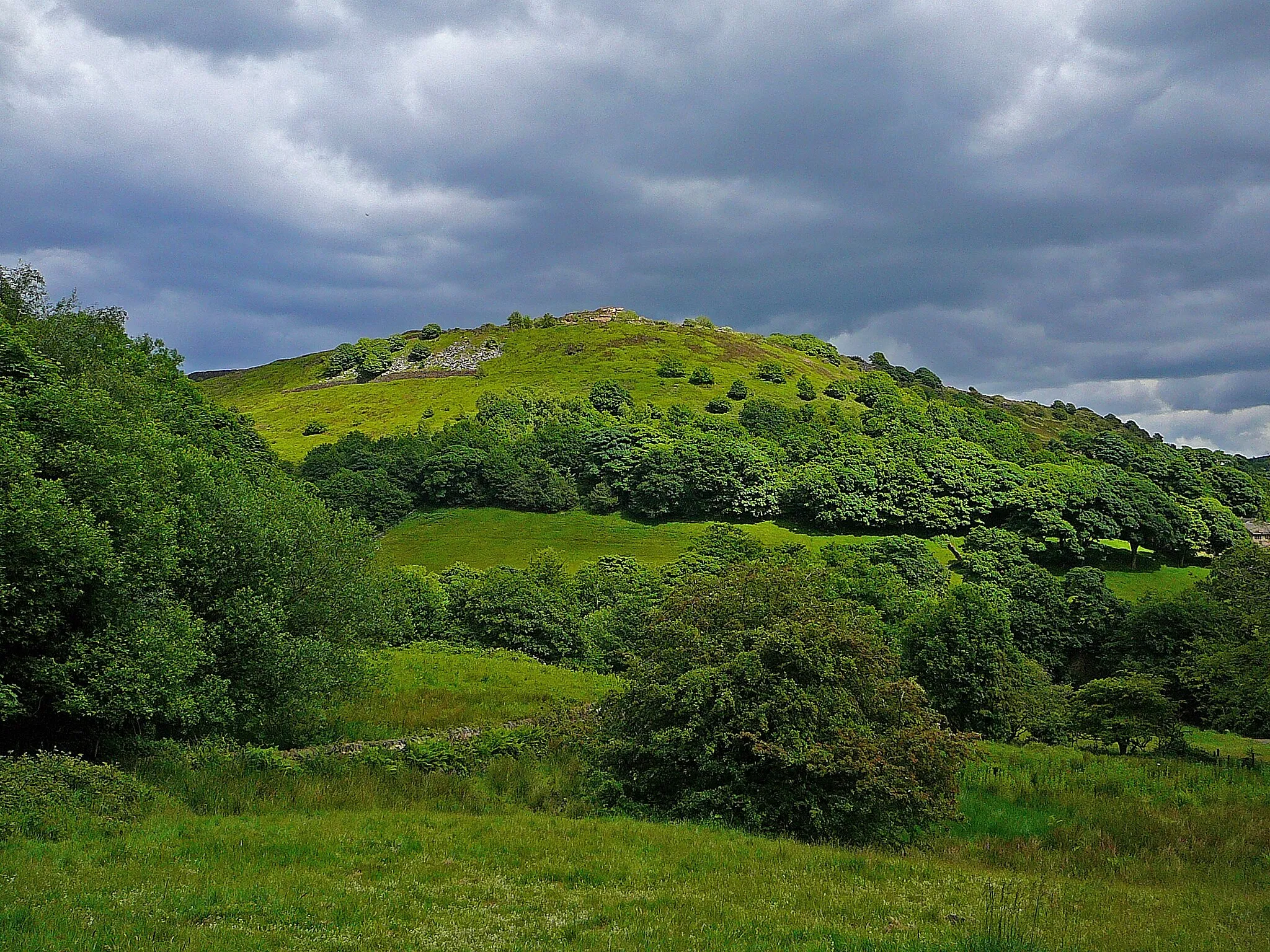
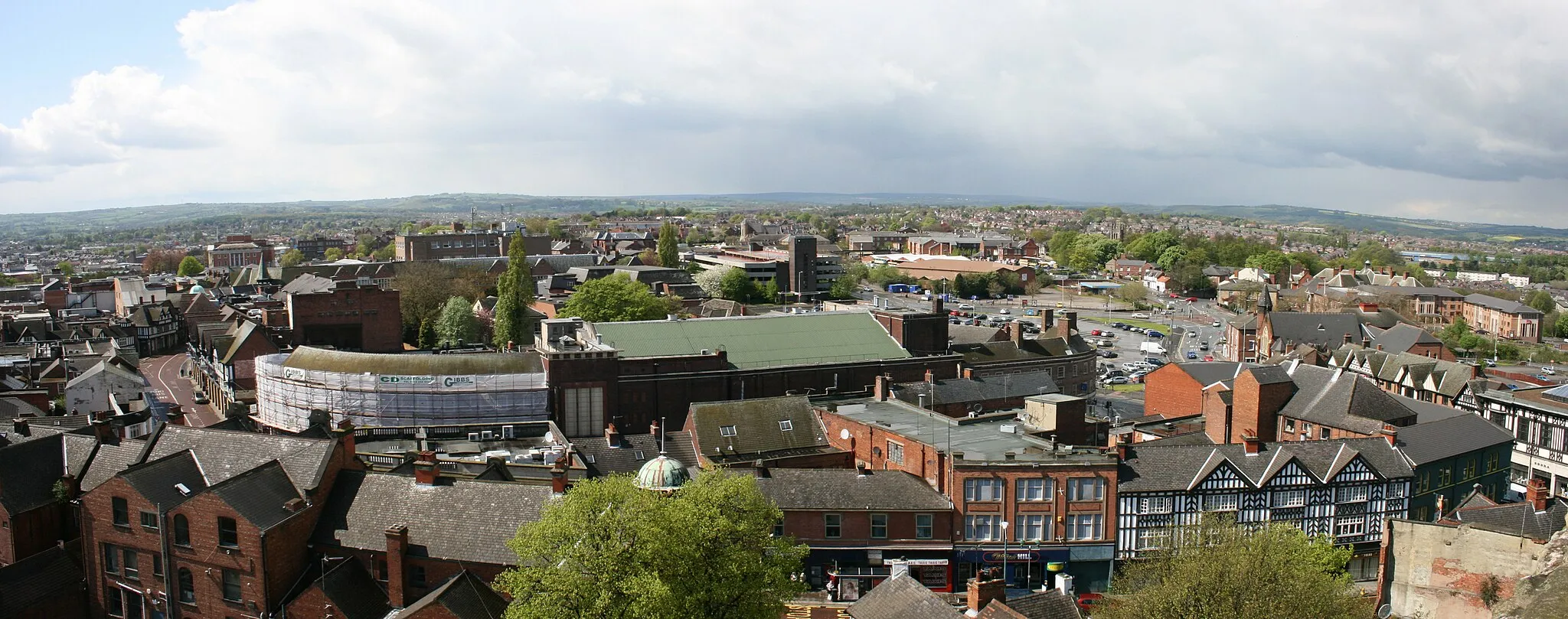
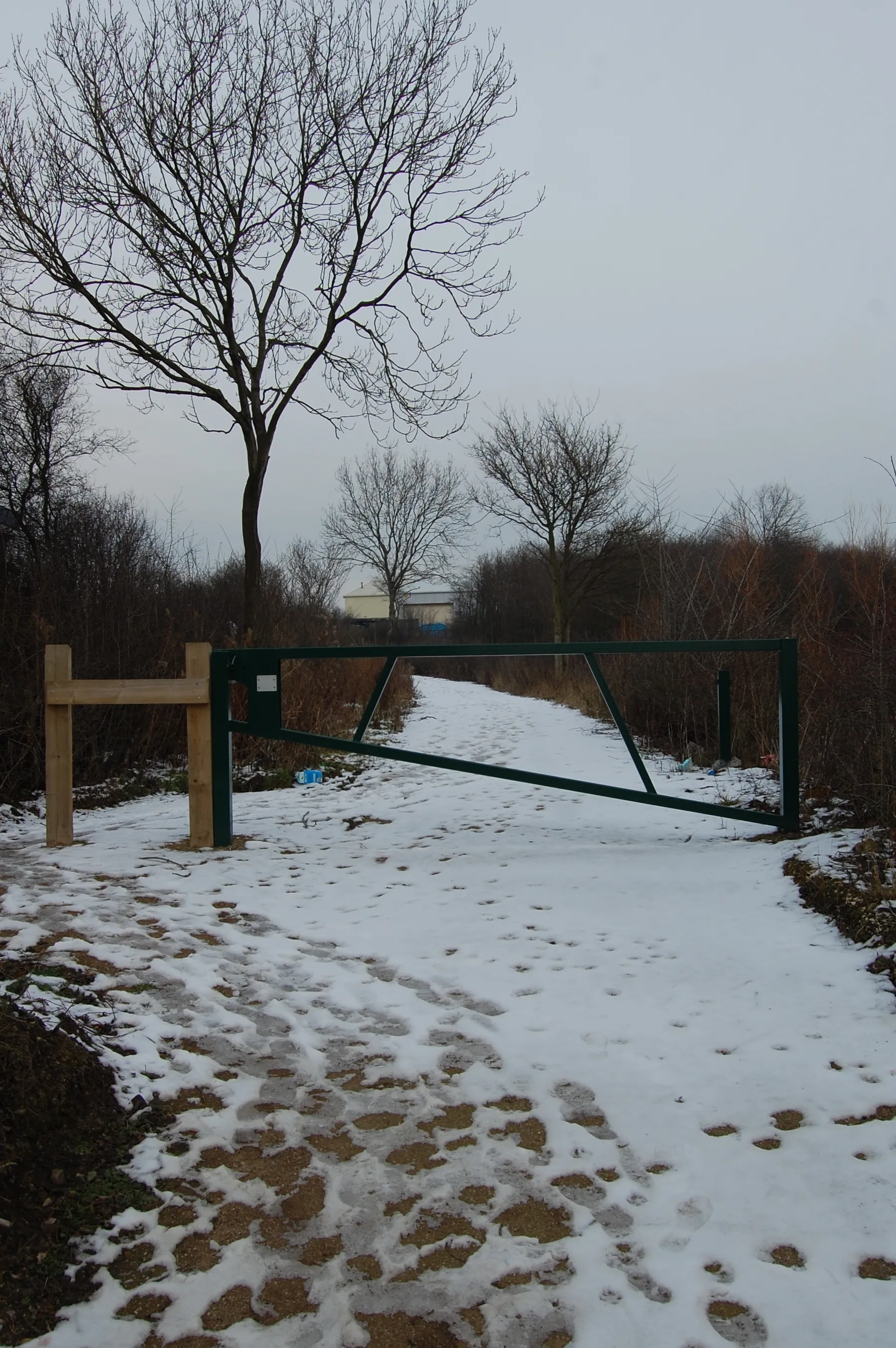
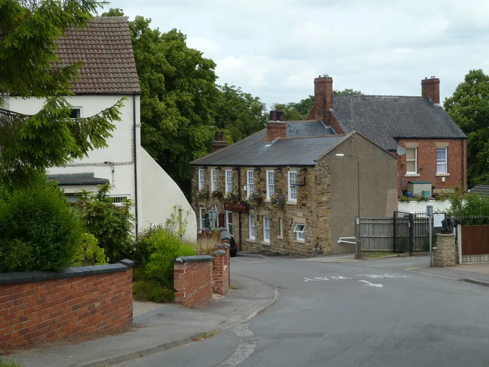
Dronfield, located in Derbyshire and Nottinghamshire, United Kingdom, offers a mix of cycling options for road and gravel enthusiasts. The locality features a variety of terrain, including rolling hills and flat stretches, providing diverse cycling opportunities. Cyclists can enjoy scenic routes and explore the nearby countryside. Dronfield is also close to the Peak District National Park, known for its stunning landscapes and challenging climbs such as Winnats Pass. With its proximity to the Peaks and its own cycling appeal, Dronfield is a fantastic destination for cyclists of all levels.
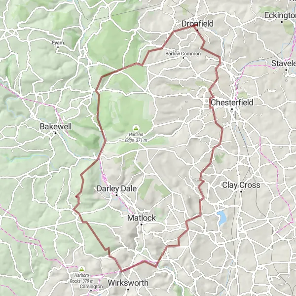
Gravel Excursion
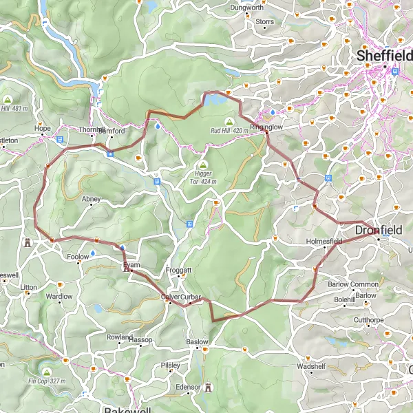
Embark on an adventurous gravel bike expedition through the captivating countryside of Derbyshire and Nottinghamshire.
Unleash your sense of discovery on this exhilarating gravel cycling route that will lead you through diverse landscapes and picturesque villages. With a total ascent of 1066m, you'll conquer challenging off-road sections and be rewarded with unparalleled views of the countryside. Discover hidden gems and embrace the thrill of gravel riding in this enchanting region.
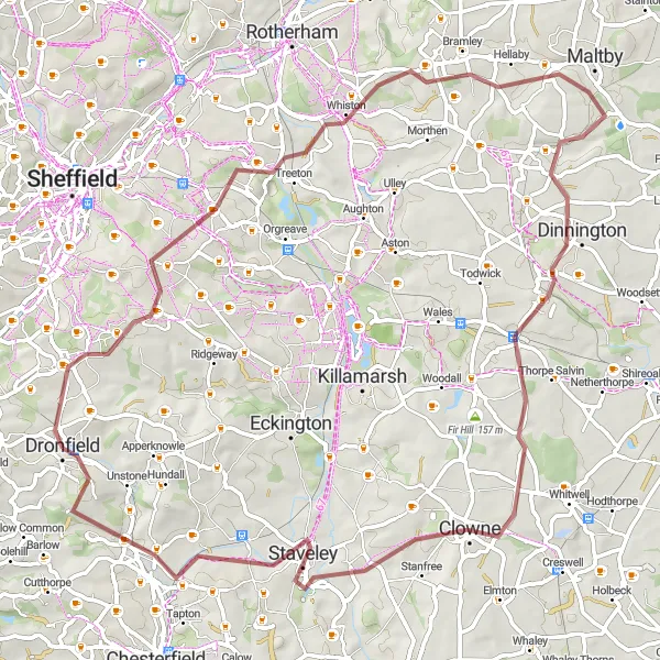
Embark on a historic journey through vibrant towns and captivating landscapes in South Yorkshire.
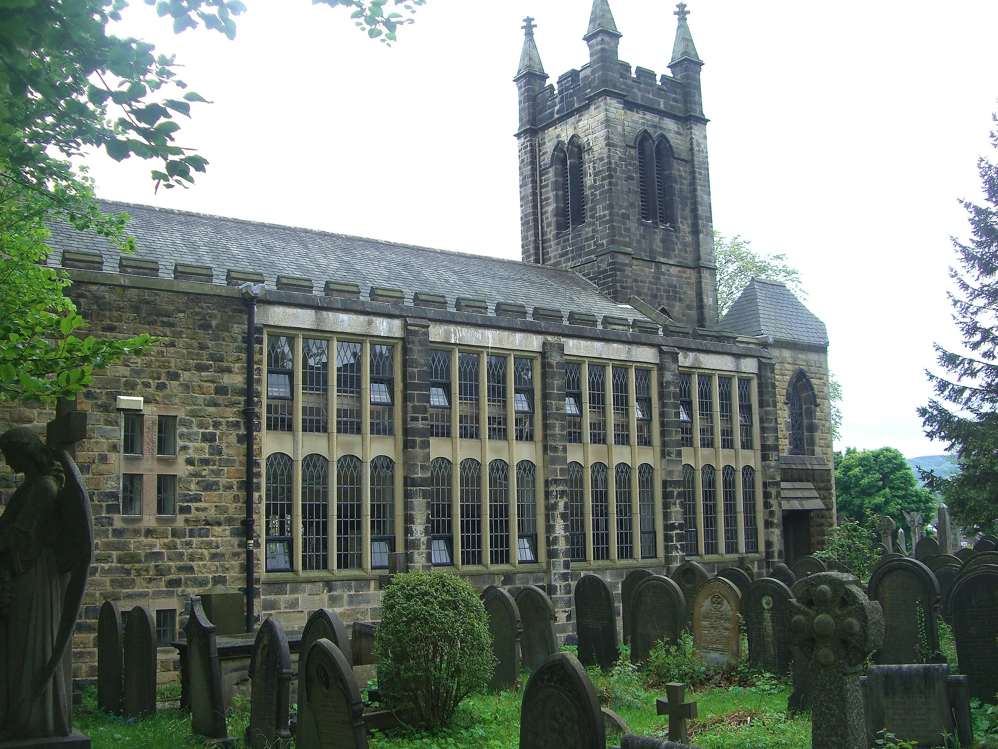
This road cycling route will take you on a journey through the rich history and stunning landscapes of South Yorkshire. With a total ascent of 738m, you'll pedal through charming villages, pass by impressive landmarks, and enjoy the diverse countryside. Experience the fusion of industrial heritage and natural beauty on this captivating tour.
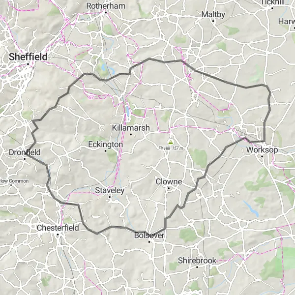
A short gravel ride exploring the scenic landscapes around Barrow Hill.
Ideal for a quick adventure, this 53-kilometer gravel loop showcases the beauty of the Barrow Hill area. With a manageable ascent of 523 meters, this route is suitable for cyclists looking for a moderate level of challenge. Highlights along the way include Barrow Hill, Elmton, Scarcliffe, and Unstone. Explore the rolling countryside, historic sites, and charming villages of the region on this enjoyable route.
Nature and Heritage Ride

Immerse yourself in the natural splendor and historical heritage of Derbyshire and Nottinghamshire on this road cycling adventure.
Experience the beauty and rich history of Derbyshire and Nottinghamshire through this road cycling route. With a total ascent of 696m, you'll traverse stunning landscapes, visit historical sites, and cycle through charming villages. Discover the fusion of natural splendor and cultural heritage on this scenic tour.

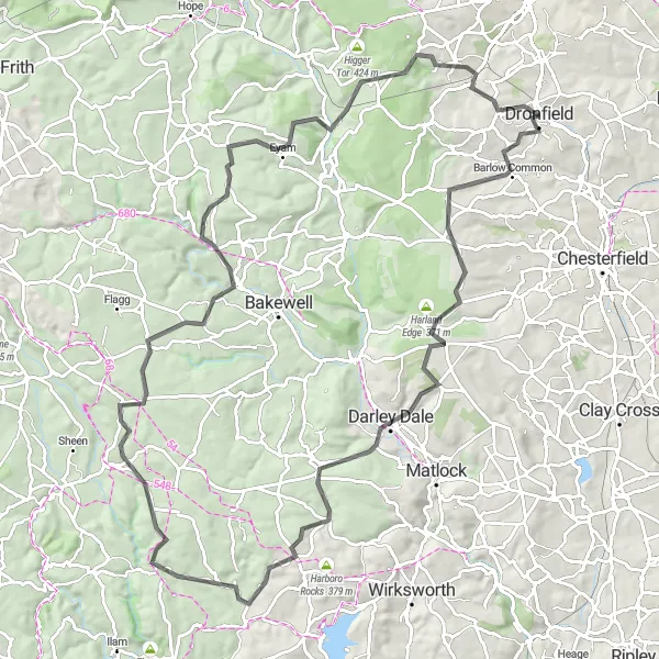
A breathtaking cycling adventure in Derbyshire
This route showcases the stunning beauty of Derbyshire and Nottinghamshire, taking you through picturesque villages and rolling countryside. With a total ascent of 1,907 meters and covering a distance of 132 kilometers, this challenging road ride is perfect for experienced cyclists. It combines scenic country roads with some challenging climbs, providing a true test of endurance. Along the way, you'll encounter highlights such as the historic Kedleston House and the charming town of Ashbourne. Overall, this route offers a unique and unforgettable cycling experience.
Embark on an enchanting gravel adventure through the captivating landscapes of Derbyshire and Nottinghamshire.
Saddle up for an immersive gravel cycling journey through the enchanting landscapes of Derbyshire and Nottinghamshire. With a total ascent of 1481m, you'll navigate challenging off-road sections and be rewarded with awe-inspiring views. Immerse yourself in the region's natural beauty and discover the allure of gravel riding.
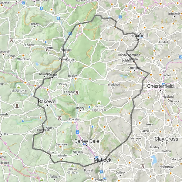
Dronfield Road Circuit

A challenging road cycling circuit featuring highlights like Gardom's Edge and Carl Wark.
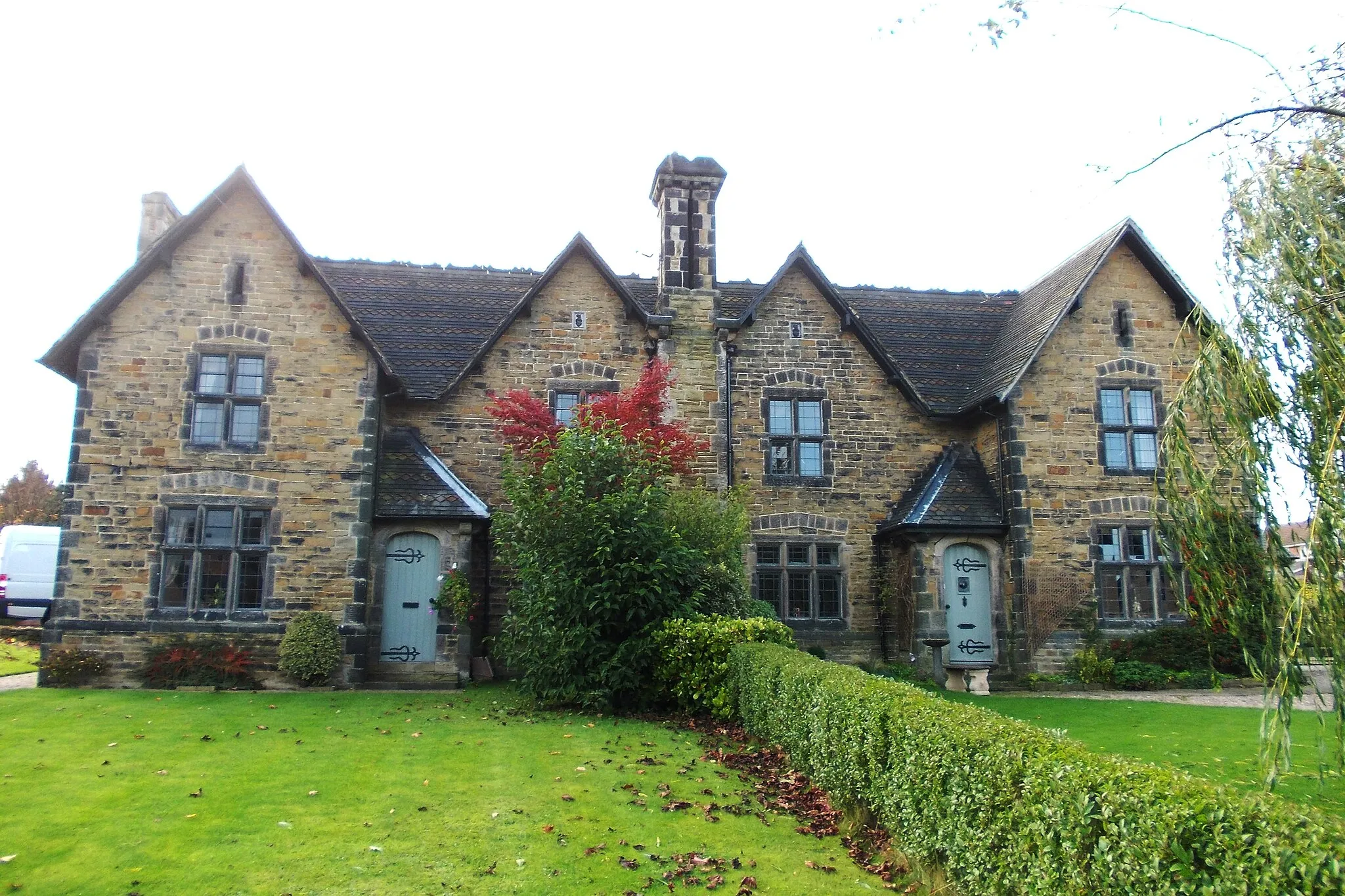
This road cycling circuit near Dronfield covers a distance of 53 kilometers and includes an ascent of 966 meters. The route is suitable for experienced road cyclists looking for a challenging workout. Highlights along the way include Cowley, Gardom's Edge, Wardlow, Peters Stone, Hathersage, Carl Wark, Dore, and Dronfield Woodhouse. Enjoy the scenic beauty of the Peak District and test your fitness on this demanding but rewarding road cycling circuit.
Embark on an epic road cycling challenge through the stunning Peak District.
This road cycling challenge provides a full day of excitement and endurance, covering a total distance of 97 kilometers and featuring an ascent of 1768 meters. Starting from Wadshelf, the route takes you on a thrilling journey through memorable locations including Oker Hill, Winster, Parwich, Parwich Hill, Monyash, Bole Hill, Wardlow Hay Cop, Eyam, Owler Tor, and Dronfield Woodhouse. This challenging ride is only suitable for experienced road cyclists due to the demanding terrain and significant elevation gain.
A thrilling road cycling adventure in Derbyshire
Immerse yourself in the charm and beauty of Derbyshire with this exhilarating road cycling route. With a total ascent of 1,460 meters and covering a distance of 75 kilometers, this challenging ride is ideal for experienced cyclists seeking an adrenaline-pumping adventure. Along the way, you'll pass through picturesque villages and stunning countryside, including highlights such as the historic village of Barlow and the peaceful town of Matlock. The route offers a combination of challenging climbs and fast descents, providing a thrilling experience for cyclists. Overall, it's a journey that showcases the best of Derbyshire's natural beauty and rich history.
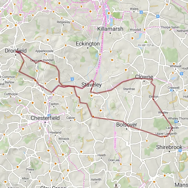
Conkers to Hilltop Gravel Ride
A scenic gravel route with highlights like Catcliffe and Barrow Hill.
This gravel ride takes you on a picturesque journey through Derbyshire and Nottinghamshire. With a total distance of 72 kilometers and an ascent of 739 meters, the route offers a challenging yet rewarding experience. The highlights along the way include Conkers, Catcliffe, Laughton-en-le-Morthen, Clowne, Barrow Hill, and Hilltop. The route is suitable for gravel bikes and provides an opportunity to explore the stunning countryside of the region.
Cycling routes nearby:


Nearby regions: