Dronfield Road Circuit
A road cycling route starting from Dronfield
A challenging road cycling circuit featuring highlights like Gardom's Edge and Carl Wark.
Map

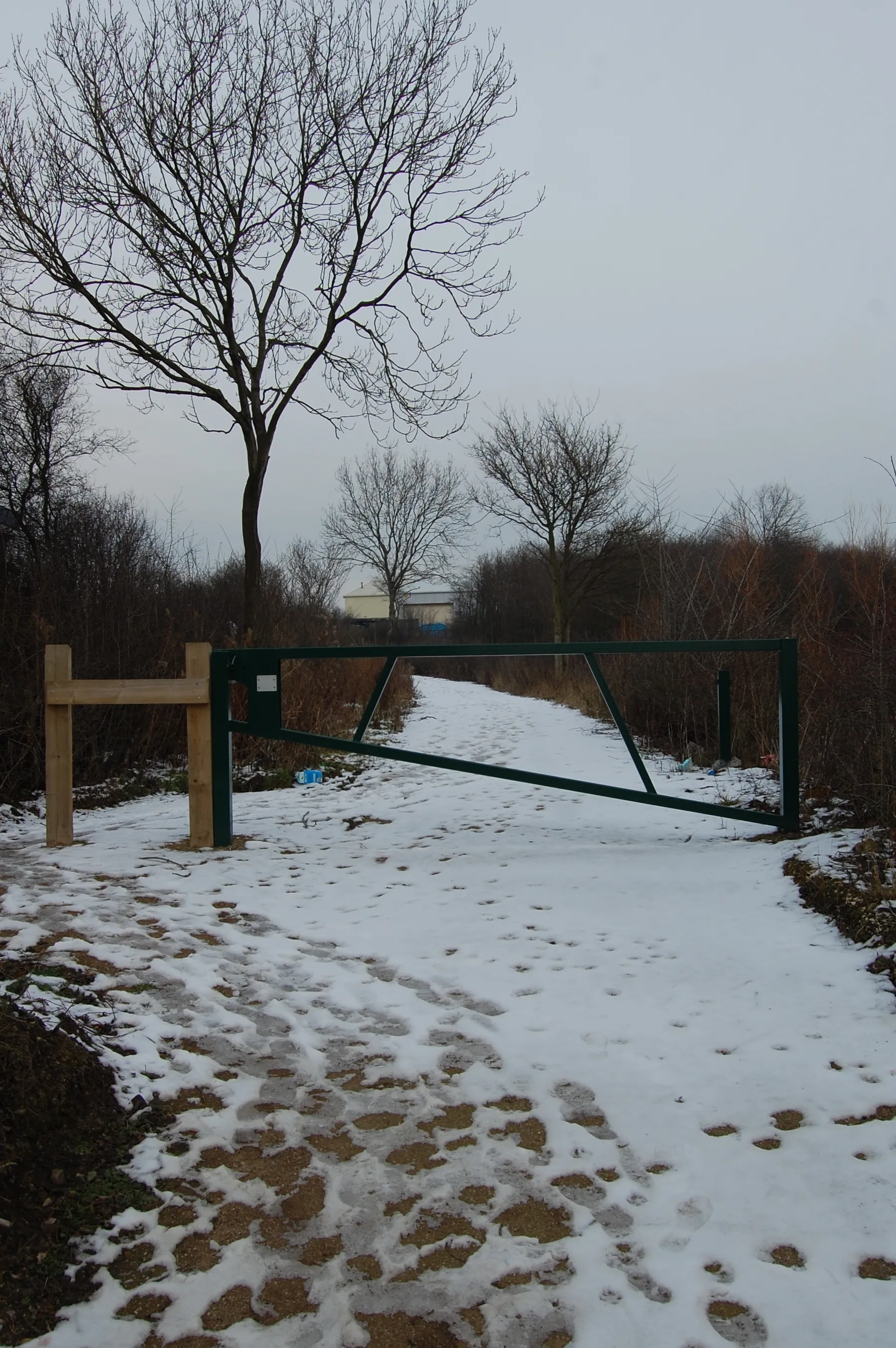
This road cycling circuit near Dronfield covers a distance of 53 kilometers and includes an ascent of 966 meters. The route is suitable for experienced road cyclists looking for a challenging workout. Highlights along the way include Cowley, Gardom's Edge, Wardlow, Peters Stone, Hathersage, Carl Wark, Dore, and Dronfield Woodhouse. Enjoy the scenic beauty of the Peak District and test your fitness on this demanding but rewarding road cycling circuit.
road
53 km
966 m
Tough
Route profile
Highlights on the route
0 km
0 km
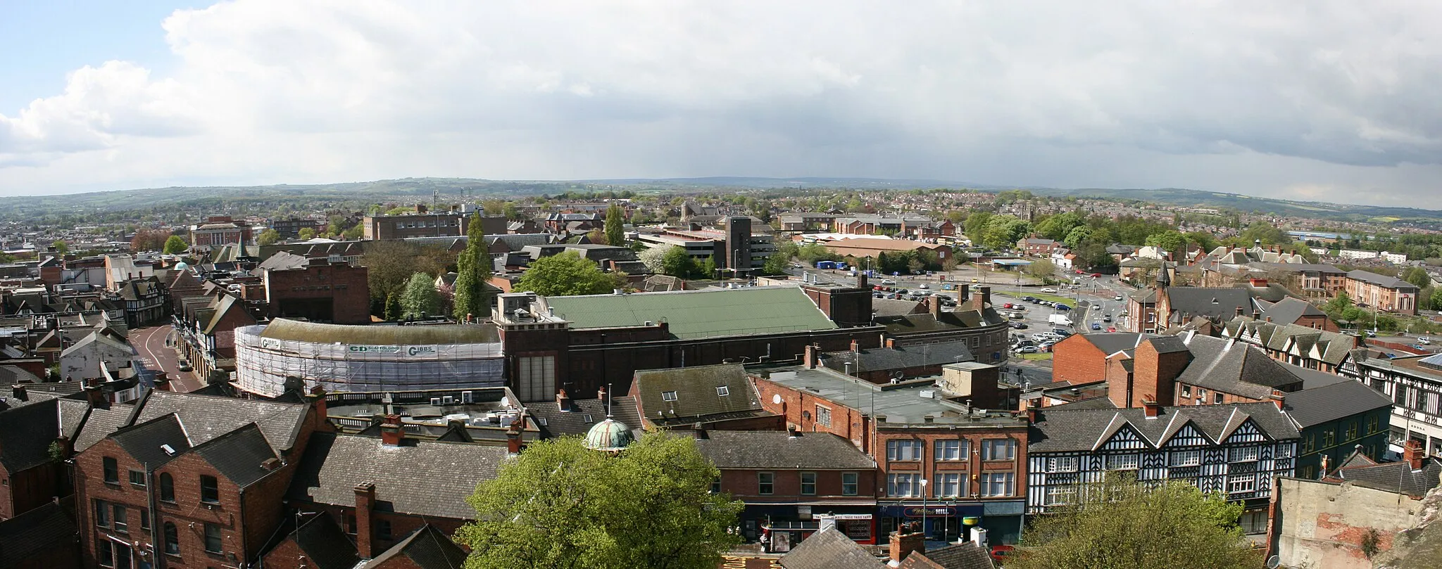
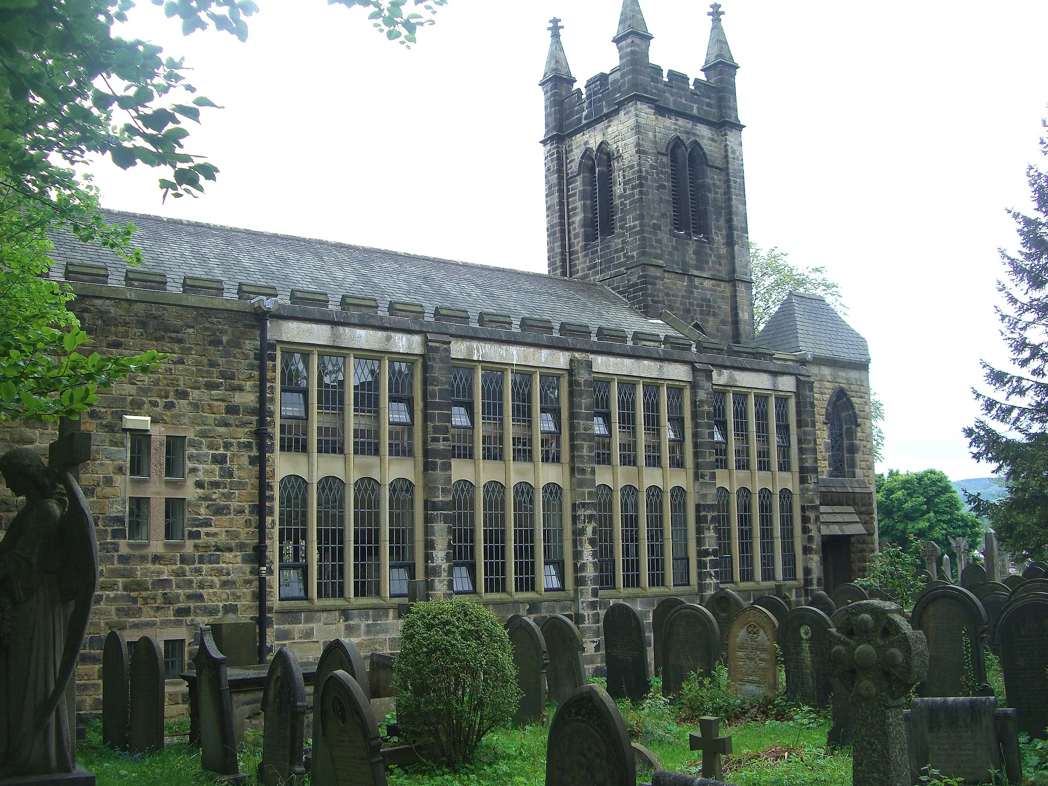
Start: Dronfield City centerDronfield: Uncovering the natural beauty and cycling delights of Dronfield.
Dronfield, located in Derbyshire and Nottinghamshire, United Kingdom, offers a mix of cycling options for road and gravel enthusiasts. The locality features a variety of terrain, including rolling hills and flat stretches, providing diverse cycling opportunities. Cyclists can enjoy scenic routes and explore the nearby countryside. Dronfield is also close to the Peak District National Park, known for its stunning landscapes and challenging climbs such as Winnats Pass. With its proximity to the Peaks and its own cycling appeal, Dronfield is a fantastic destination for cyclists of all levels.3 km
3 km
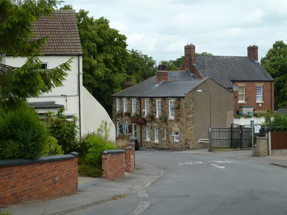
CowleyHamletCowley is a small village with a picturesque cricket ground, surrounded by rolling hills and countryside.
12 km
12 km
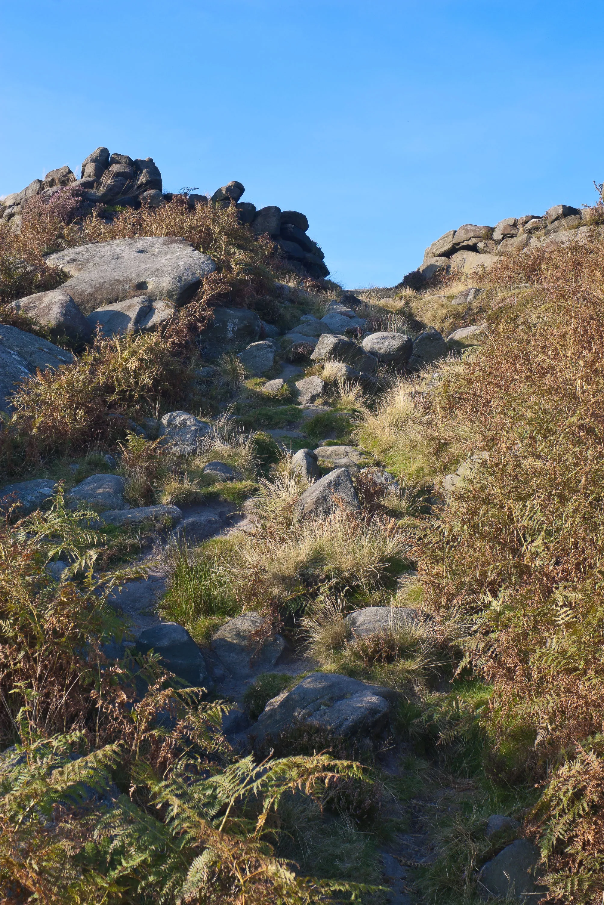
Gardom's EdgeViewpointGardom's Edge is a prehistoric site known for its stone circle and ancient rock carvings.
23 km
23 km
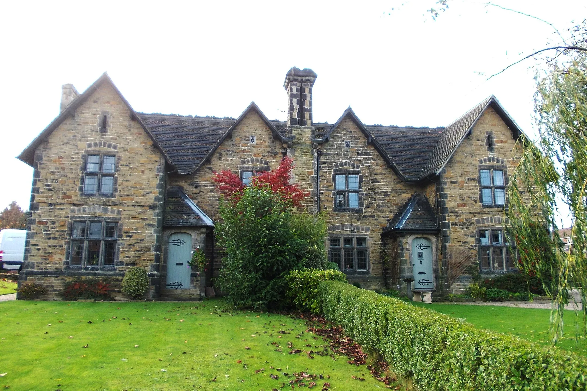
WardlowVillageWardlow is a scenic village with charming stone houses and breathtaking views of the surrounding landscape.
23 km
23 km
Peters Stone260 mPeakPeters Stone is a prominent gritstone tor that offers panoramic views of the Peak District National Park.
35 km
35 km
HathersageVillageHathersage is a picturesque village with historic buildings, a vibrant arts scene, and beautiful outdoor swimming spots.
39 km
39 km
Carl Wark370 mPeakCarl Wark is an ancient hill fort with fascinating archaeological remnants and stunning views.
45 km
45 km
DoreSub-urbDore is a suburb of Sheffield with a mix of urban and rural landscapes, including picturesque reservoirs and wooded areas.
52 km
52 km
Dronfield WoodhouseSub-urbDronfield Woodhouse is a quaint village known for its charming cottages and peaceful surroundings.
53 km
53 km
Finish: Dronfield City centerDronfield: Uncovering the natural beauty and cycling delights of Dronfield.
Cycling routes from Dronfield:
Nature and Heritage Ride Conkers to Hilltop Gravel Ride Gravel Excursion Dronfield Road Circuit Historic and Scenic South Yorkshire Wadshelf to Dronfield Woodhouse Road Challenge Enchanting Gravel Odyssey Holmesfield to Totley Gravel Adventure Barrow Hill Loop Peak District Challenge Dronfield loop via North Wingfield and Ashbourne Matlock loop via Elton and Calver Barlborough loop via Belper and Cromford Conkers loop via Askern and Firbeck
Cycling routes nearby: