Peak District Challenge
A road cycling route starting from Dronfield
Embrace the stunning beauty of the Peak District National Park on this challenging road cycling route.
Map
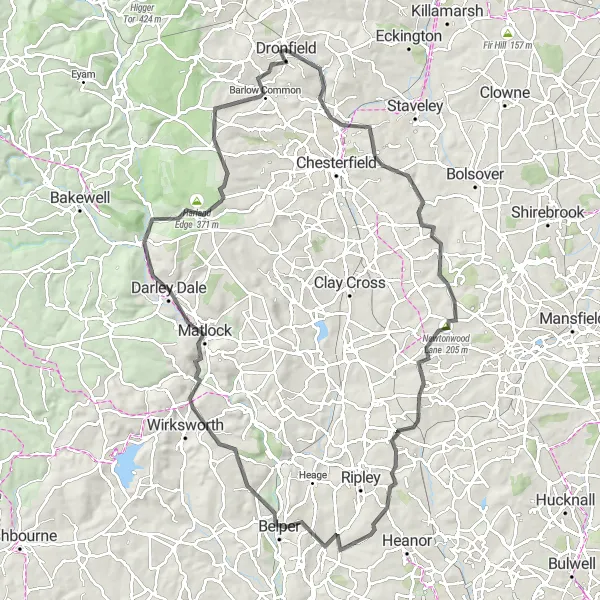
Experience the Peak District's dramatic landscapes and picturesque villages as you tackle this demanding road cycling route. With a total ascent of 1245m, you will conquer steep climbs rewarded by breathtaking views. Enjoy the diversity of the route, passing by quaint hamlets, notorious landmarks, and serene reservoirs.
road
97 km
1245 m
Tough
Route profile
Highlights on the route
0 km
0 km
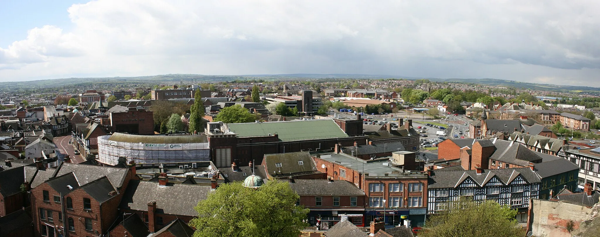
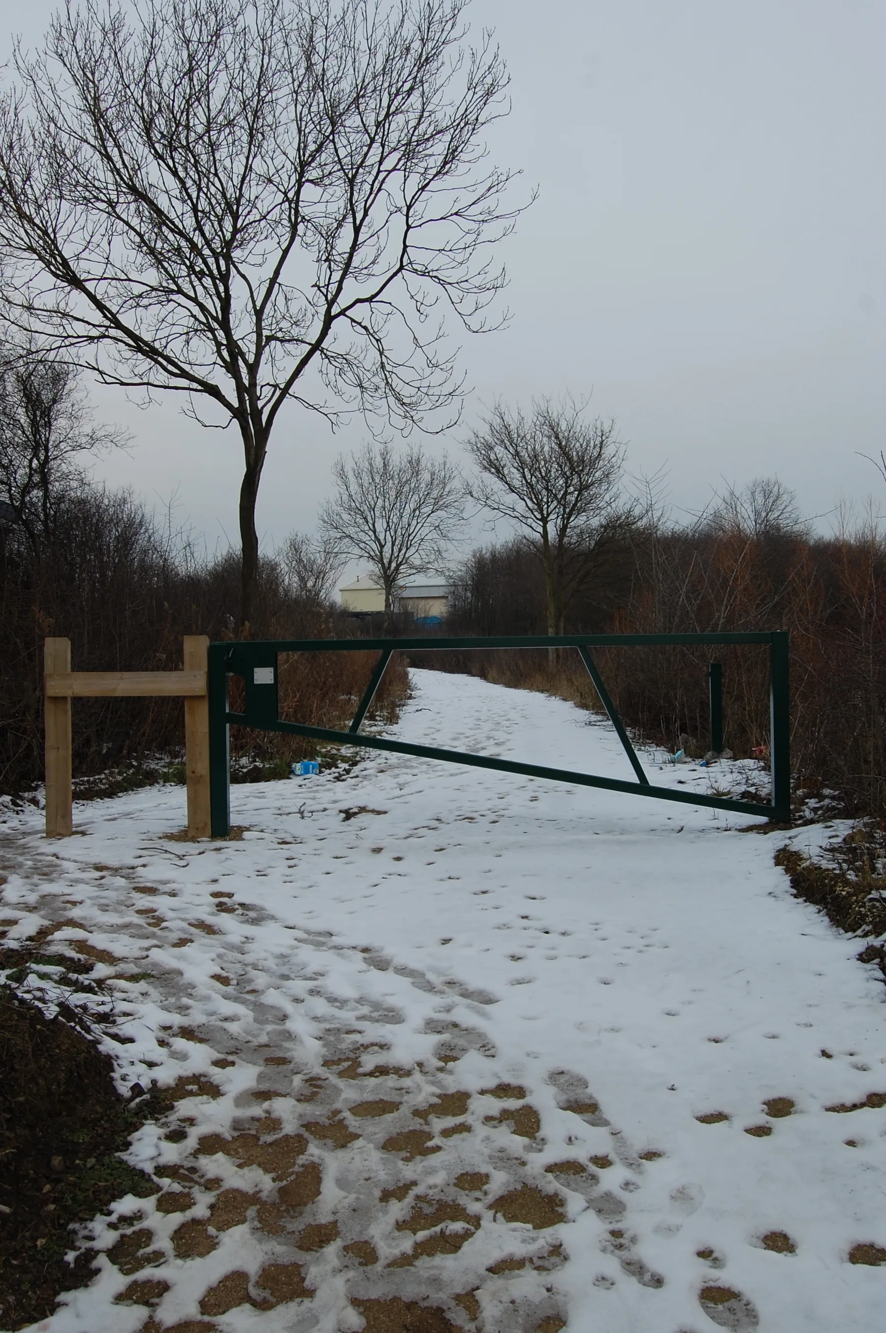
Start: Dronfield City centerDronfield: Uncovering the natural beauty and cycling delights of Dronfield.
Dronfield, located in Derbyshire and Nottinghamshire, United Kingdom, offers a mix of cycling options for road and gravel enthusiasts. The locality features a variety of terrain, including rolling hills and flat stretches, providing diverse cycling opportunities. Cyclists can enjoy scenic routes and explore the nearby countryside. Dronfield is also close to the Peak District National Park, known for its stunning landscapes and challenging climbs such as Winnats Pass. With its proximity to the Peaks and its own cycling appeal, Dronfield is a fantastic destination for cyclists of all levels.2 km
2 km
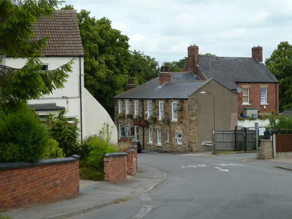
UnstoneVillageVisit Unstone, a charming village with a rich history and idyllic countryside surroundings.
11 km
11 km
CalowVillageCalow, once a mining community, is now a peaceful suburb with picturesque scenery.
26 km
26 km
Strawberry Bank202 mPeakAdmire the beauty of Strawberry Bank, a scenic spot with rolling hills and stunning landscapes.
45 km
45 km
KilburnVillageKilburn boasts an impressive hillside showpiece, the white horse sculpted into chalk.
67 km
67 km
Pic TorViewpointMake a stop at Pic Tor for panoramic views over Matlock Bath and the Derwent Valley.
68 km
68 km
MatlockTownVenture to Matlock and discover its Victorian charm, thermal baths, and magnificent parks.
77 km
77 km
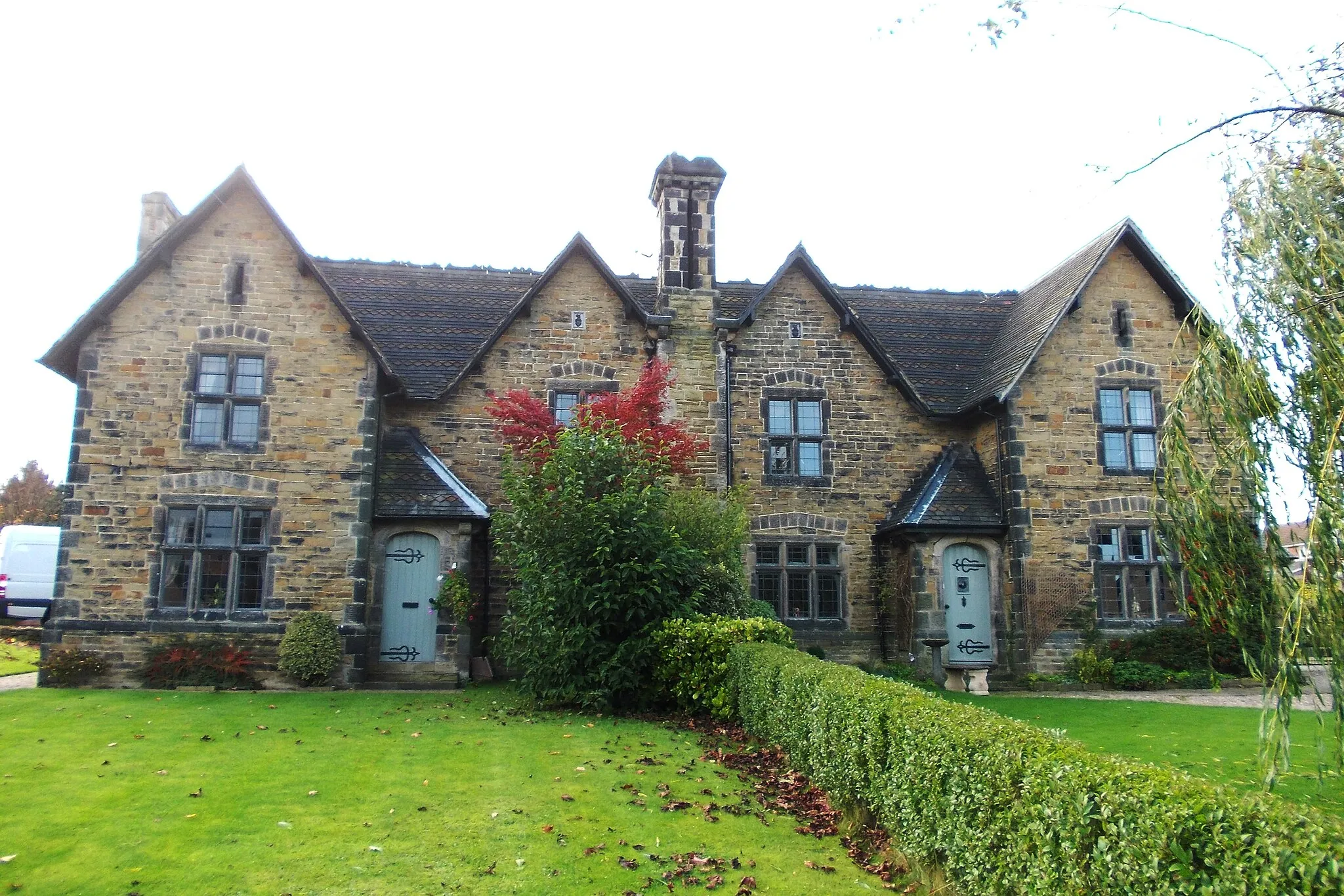
BeeleyVillageExplore the beautiful village of Beeley, surrounded by lovely countryside and home to a historic inn.
80 km
80 km
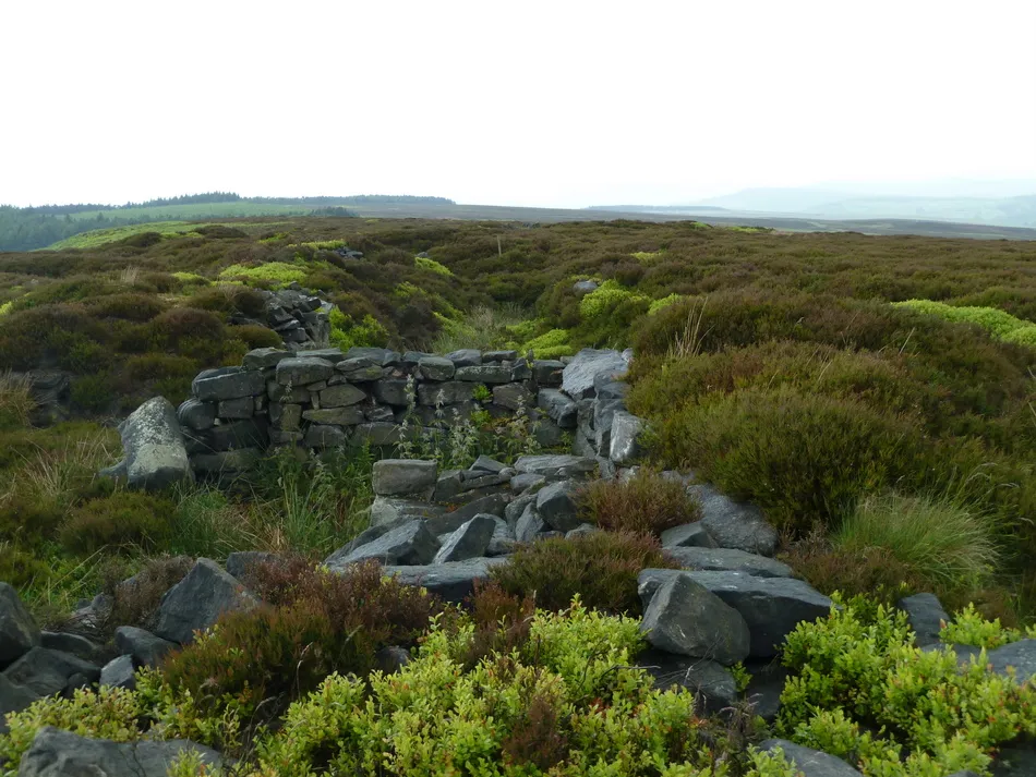
Harland Edge371 mPeakReach the summit of Harland Edge for breathtaking views stretching over the sprawling moors.
94 km
94 km
CowleyHamletCapture the beauty of Cowley as you cycle through its charming rolling hills and idyllic scenery.
97 km
97 km
Finish: Dronfield City centerDronfield: Uncovering the natural beauty and cycling delights of Dronfield.
Cycling routes from Dronfield:
Nature and Heritage Ride Conkers to Hilltop Gravel Ride Gravel Excursion Dronfield Road Circuit Historic and Scenic South Yorkshire Wadshelf to Dronfield Woodhouse Road Challenge Enchanting Gravel Odyssey Holmesfield to Totley Gravel Adventure Barrow Hill Loop Peak District Challenge Dronfield loop via North Wingfield and Ashbourne Matlock loop via Elton and Calver Barlborough loop via Belper and Cromford Conkers loop via Askern and Firbeck
Cycling routes nearby: