Wadshelf to Dronfield Woodhouse Road Challenge
A road cycling route starting from Dronfield
Embark on an epic road cycling challenge through the stunning Peak District.
Map
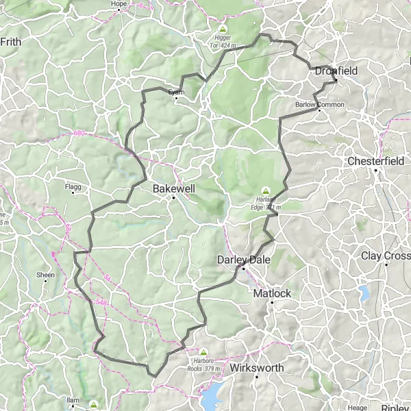
This road cycling challenge provides a full day of excitement and endurance, covering a total distance of 97 kilometers and featuring an ascent of 1768 meters. Starting from Wadshelf, the route takes you on a thrilling journey through memorable locations including Oker Hill, Winster, Parwich, Parwich Hill, Monyash, Bole Hill, Wardlow Hay Cop, Eyam, Owler Tor, and Dronfield Woodhouse. This challenging ride is only suitable for experienced road cyclists due to the demanding terrain and significant elevation gain.
road
97 km
1768 m
Savage
Route profile
Highlights on the route
0 km
0 km
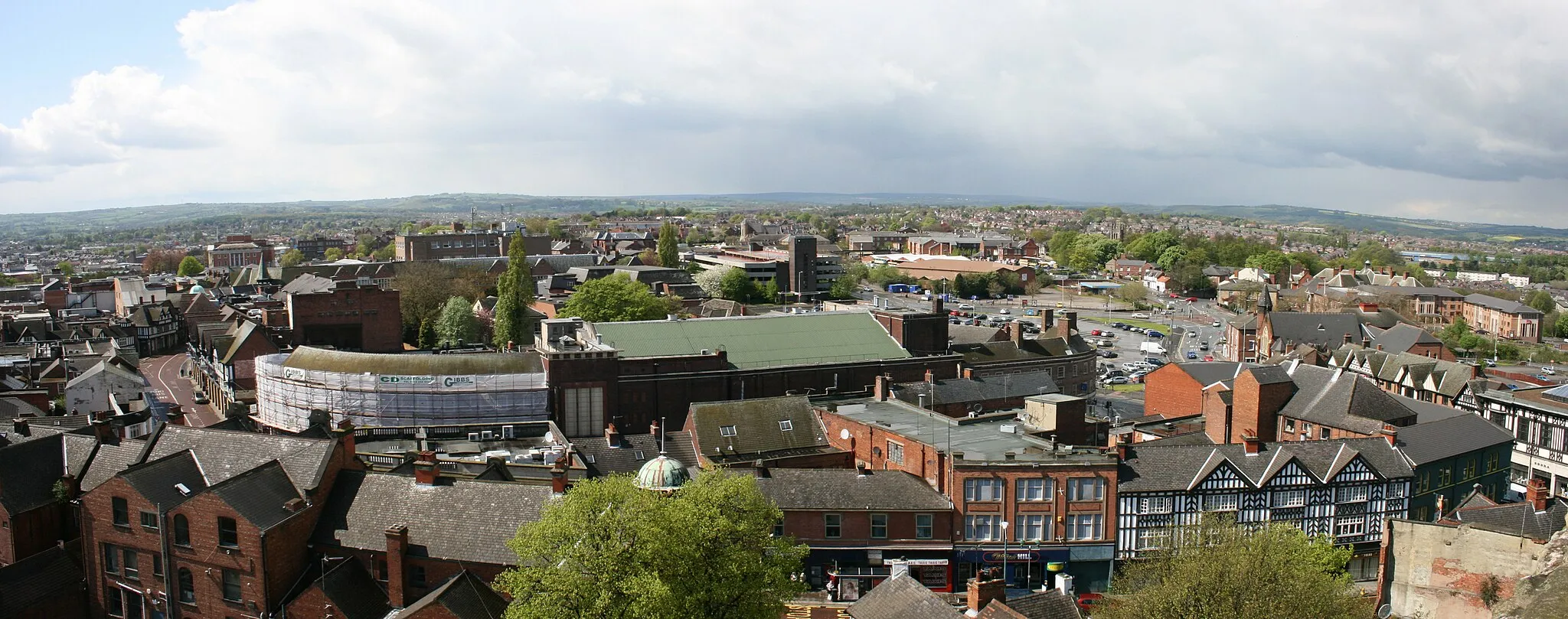
Start: Dronfield City centerDronfield: Uncovering the natural beauty and cycling delights of Dronfield.
Dronfield, located in Derbyshire and Nottinghamshire, United Kingdom, offers a mix of cycling options for road and gravel enthusiasts. The locality features a variety of terrain, including rolling hills and flat stretches, providing diverse cycling opportunities. Cyclists can enjoy scenic routes and explore the nearby countryside. Dronfield is also close to the Peak District National Park, known for its stunning landscapes and challenging climbs such as Winnats Pass. With its proximity to the Peaks and its own cycling appeal, Dronfield is a fantastic destination for cyclists of all levels.12 km
12 km
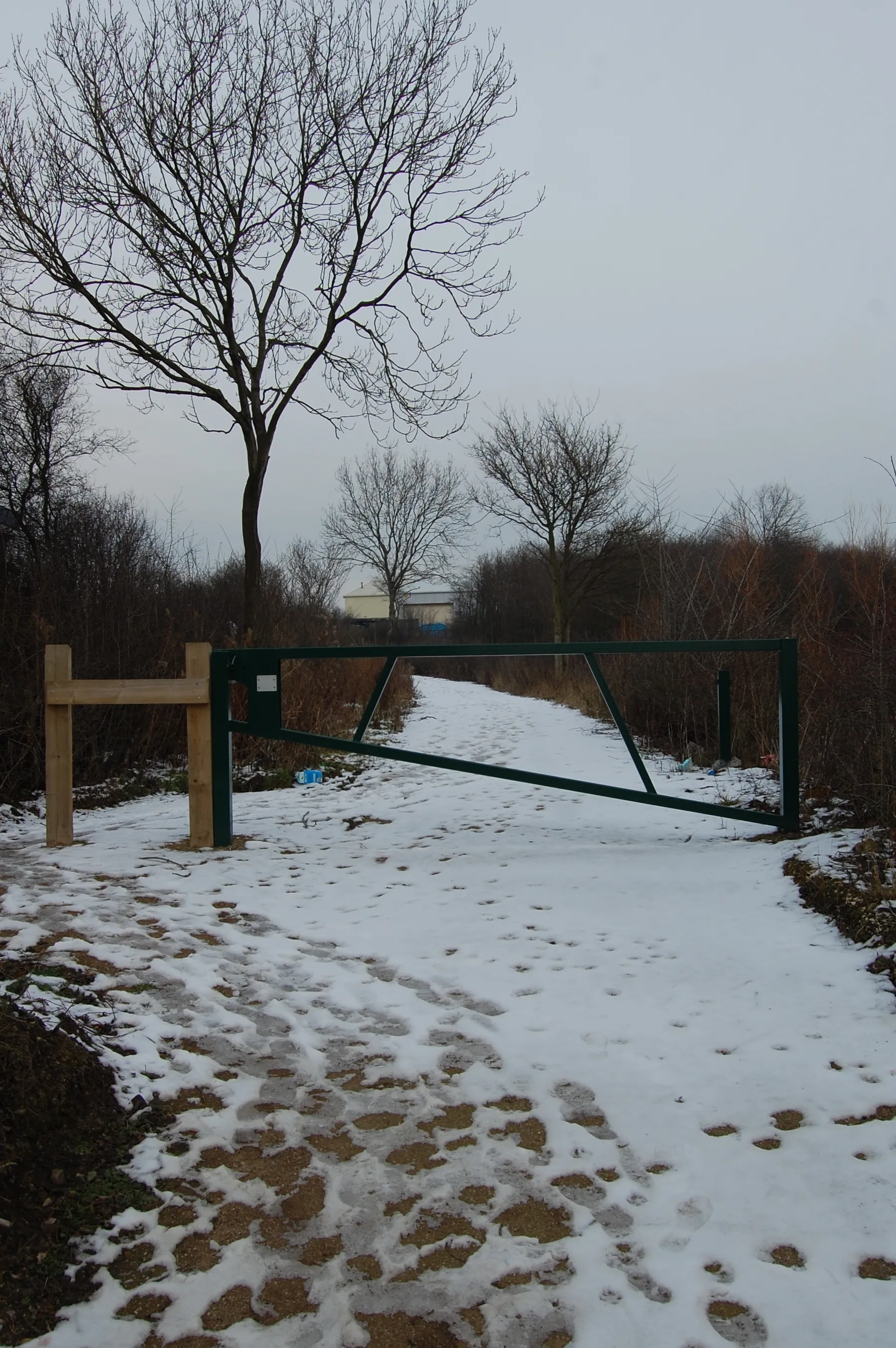
WadshelfVillageWadshelf is a small village located in the picturesque Derbyshire Dales, surrounded by idyllic rolling farmland.
26 km
26 km
Oker Hill193 mPeakOker Hill is a challenging climb known for its panoramic views across the surrounding peaks and deep valleys.
29 km
29 km
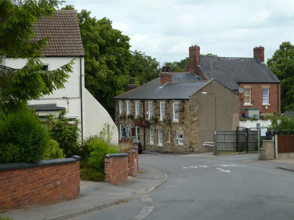
WinsterVillageWinster is a charming village with traditional stone houses, historic inns, and picturesque gardens.
42 km
42 km
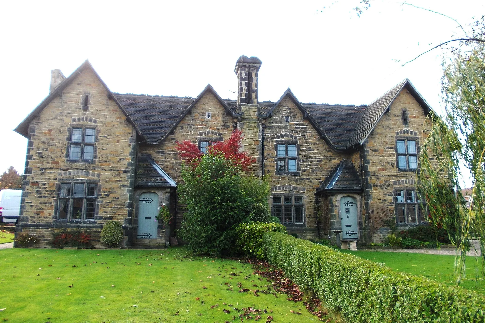
ParwichVillageParwich is a delightful village in the Derbyshire Dales, featuring striking architecture and a warm community atmosphere.
42 km
42 km
Parwich Hill294 mPeakParwich Hill offers a tough but rewarding climb with breathtaking views of the White Peak countryside.
60 km
60 km
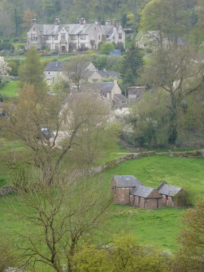
MonyashVillageMonyash is a scenic village with a village green, traditional market cross, and several historic buildings.
63 km
63 km
Bole Hill356 mPeakBole Hill is a challenging climb that rewards cyclists with stunning views over Froggatt Edge and Curbar Edge.
71 km
71 km
Wardlow Hay Cop364 mPeakWardlow Hay Cop is a steep, short climb famous for its relentless gradient and stunning views from the top.
77 km
77 km
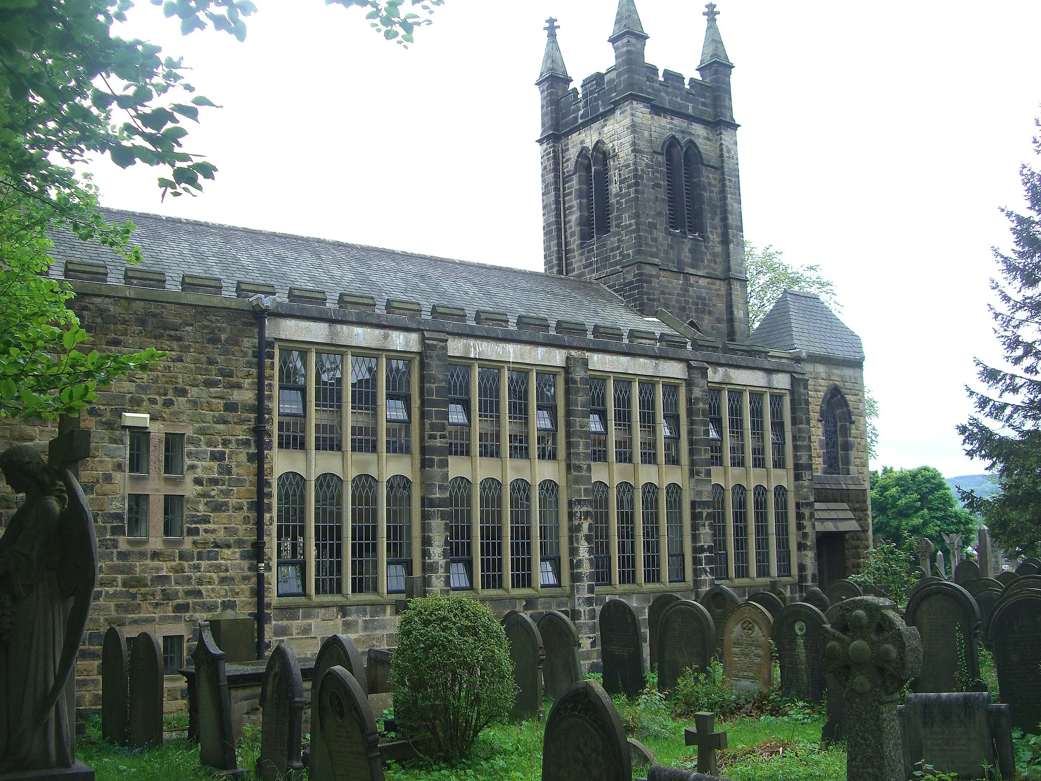
EyamVillageEyam is known for its remarkable history as a ‘plague village’ and offers a unique and thought-provoking visit.
84 km
84 km
Owler Tor302 mPeakOwler Tor is a popular climbing and bouldering spot that offers beautiful views of the Hope Valley.
96 km
96 km
Dronfield WoodhouseSub-urbDronfield Woodhouse is a traditional village with a mix of historic buildings and delightful countryside surroundings.
97 km
97 km
Finish: Dronfield City centerDronfield: Uncovering the natural beauty and cycling delights of Dronfield.
Cycling routes from Dronfield:
Nature and Heritage Ride Conkers to Hilltop Gravel Ride Gravel Excursion Dronfield Road Circuit Historic and Scenic South Yorkshire Wadshelf to Dronfield Woodhouse Road Challenge Enchanting Gravel Odyssey Holmesfield to Totley Gravel Adventure Barrow Hill Loop Peak District Challenge Dronfield loop via North Wingfield and Ashbourne Matlock loop via Elton and Calver Barlborough loop via Belper and Cromford Conkers loop via Askern and Firbeck
Cycling routes nearby: