Explore coastal routes and scenic landscapes in Mundesley.
Cycling routes from Mundesley
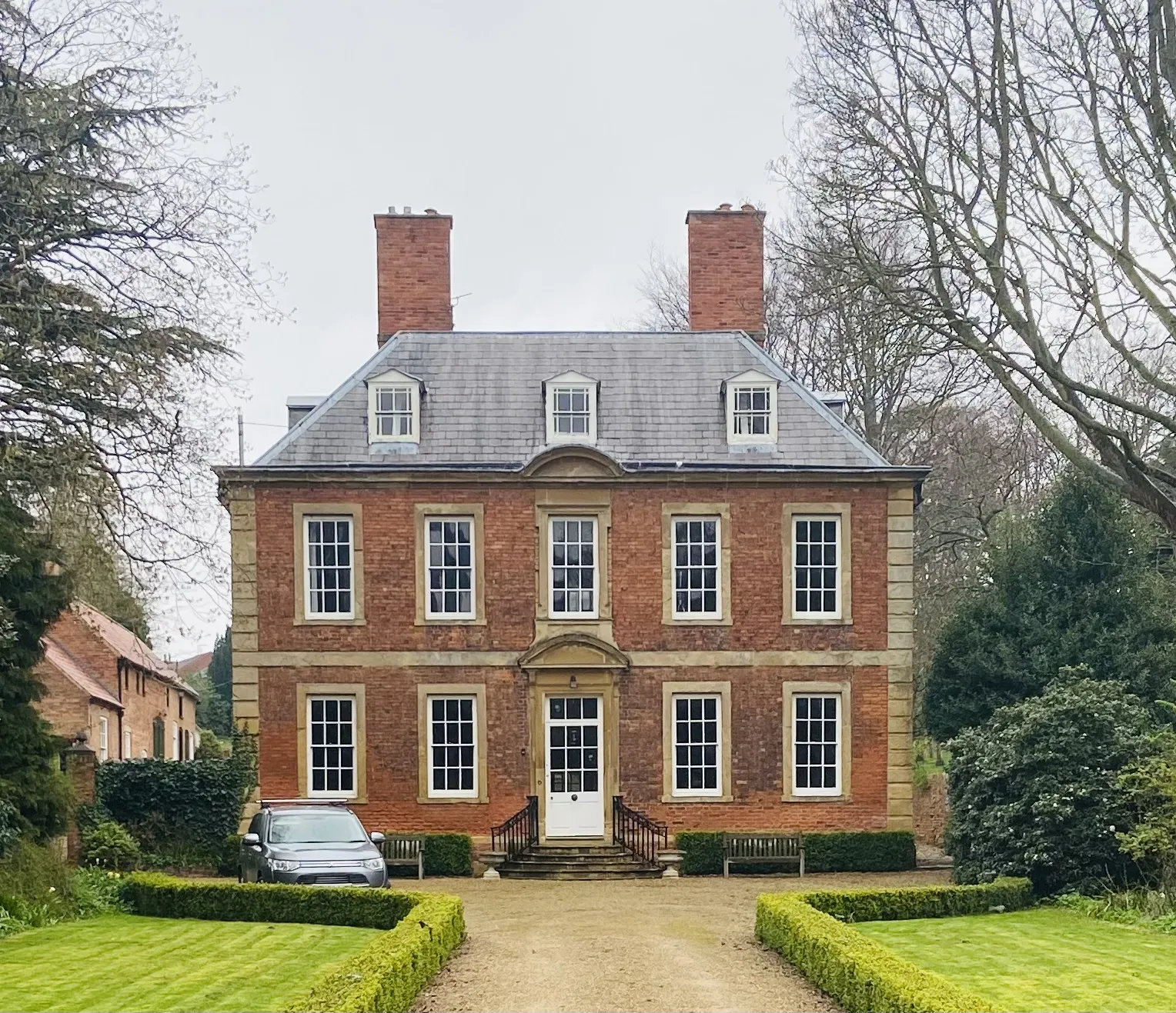
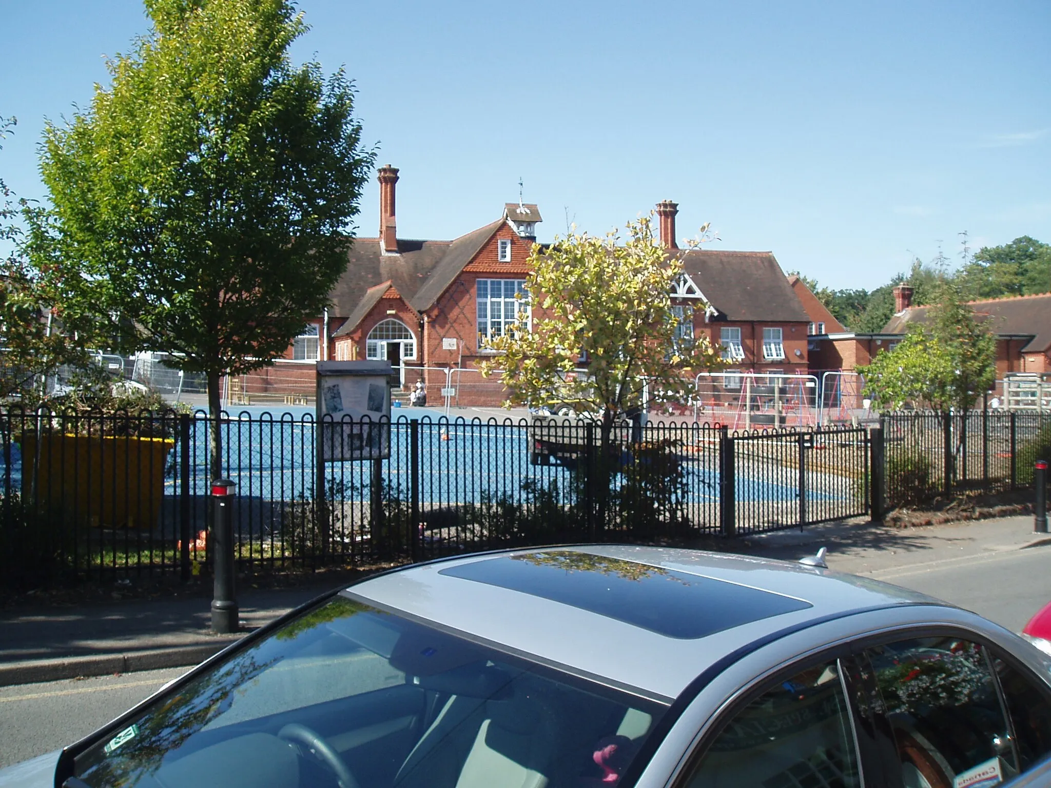
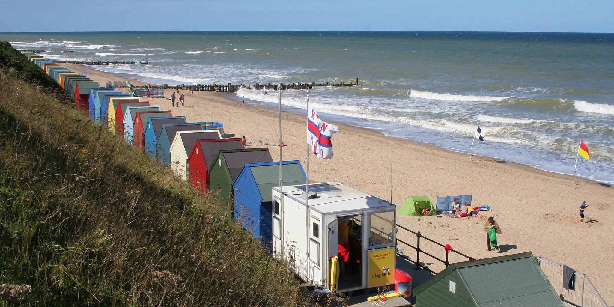
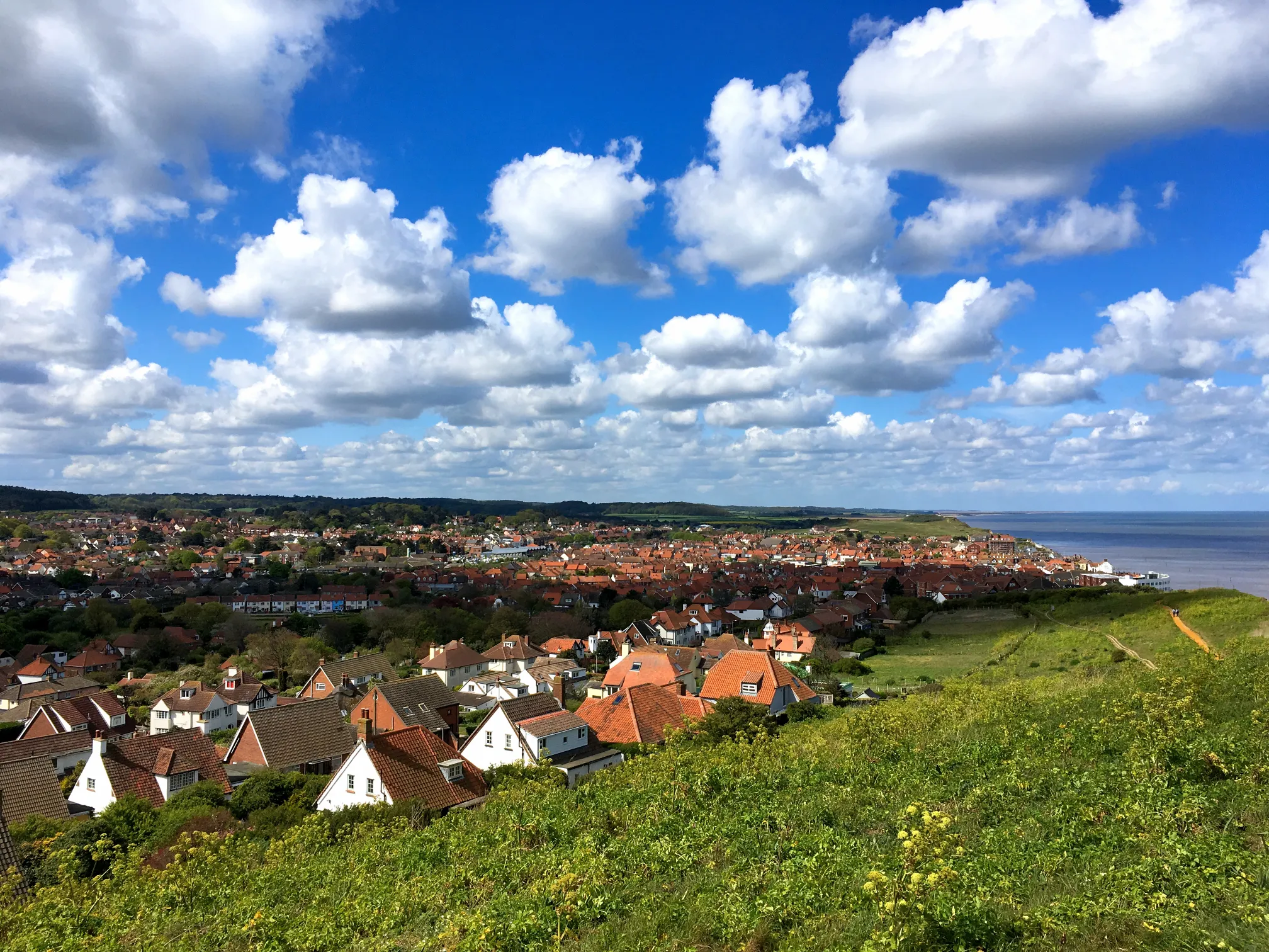
Mundesley is a small locality located in the East Anglia region of the United Kingdom. From a cyclist's perspective, Mundesley offers scenic coastal routes and picturesque countryside scenery. The roads in this area are generally quiet and suitable for road cycling. Cyclists can enjoy exploring the Norfolk Coast Area of Outstanding Natural Beauty, with its beautiful beaches and rolling landscapes. Not far from Mundesley, the renowned Bacton Woods offer mountain biking trails for those seeking off-road adventures. With its diverse range of cycling opportunities and beautiful natural landscapes, Mundesley ranks at a 4 for cyclists. It is an excellent destination for both road and gravel cyclists.
Gravel Adventure
Explore the gravel roads near Mundesley
Embark on a thrilling gravel adventure near Mundesley, East Anglia. This distinctive route covers a total distance of 67 km, with a moderate ascent of 416 m. It is suitable for gravel bikes, offering a unique off-road experience. Discover picturesque villages and stunning landscapes along the way.
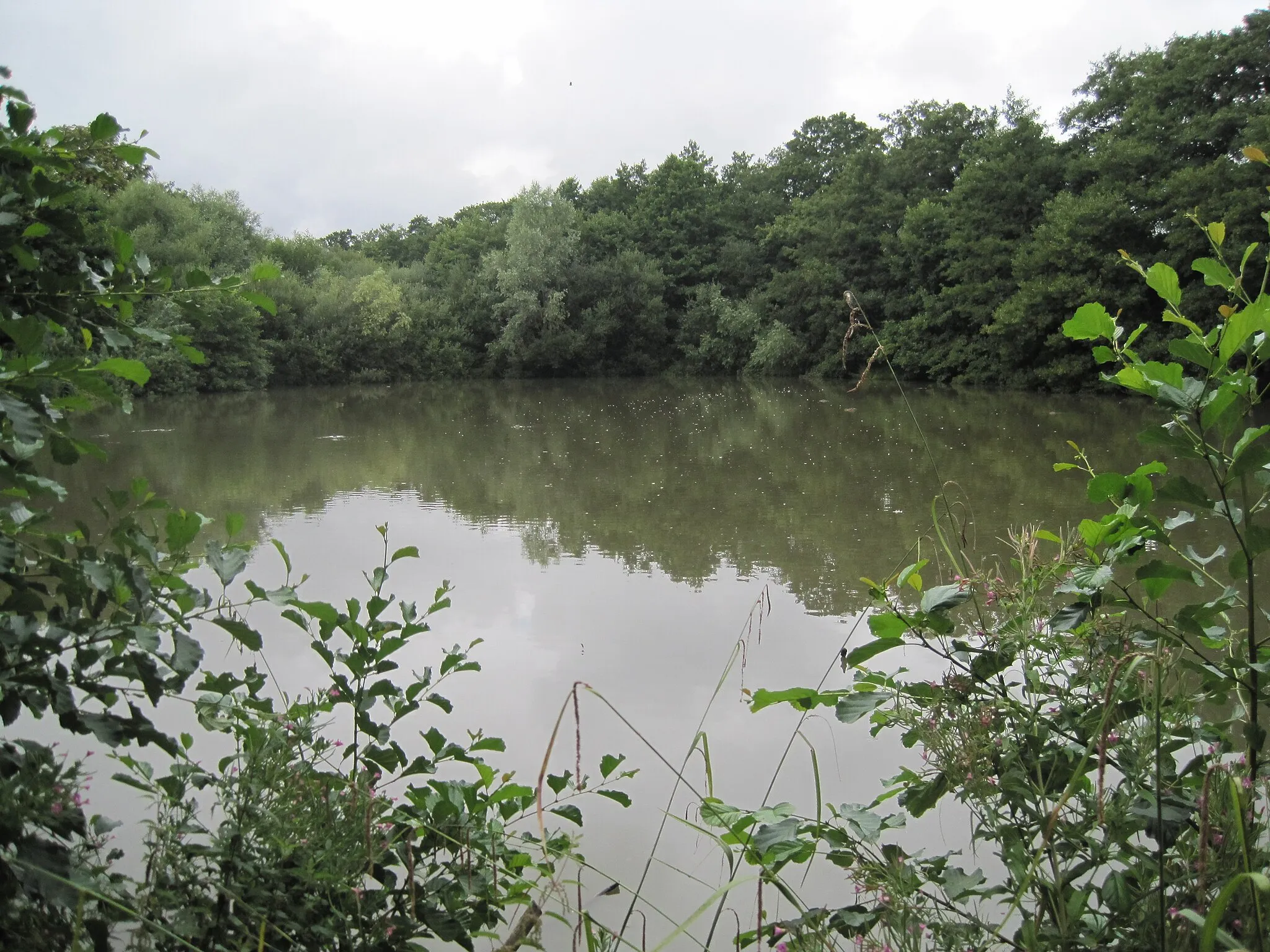
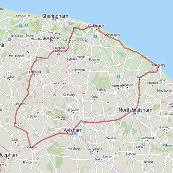
Grazing Gravel in Norfolk
Embark on a thrilling gravel adventure through the scenic landscapes of Norfolk
Grazing Gravel in Norfolk is a thrilling gravel cycling route that covers a distance of 60 kilometers with an ascent of 98 meters. This route is perfect for riders looking for a mix of off-road terrain and serene countryside views. Starting near Mundesley, this route takes you through charming villages and peaceful nature reserves. Highlights of the route include the picturesque Happisburgh, Horsey Mere, and Stalham. Challenge yourself with some gravel sections and enjoy the tranquility of the Norfolk countryside.
Coastal Delight
Enjoy a coastal delight near Mundesley
Explore the stunning coastal landscapes near Mundesley on this 45 km road cycling route. With a moderate ascent of 308 m, this route promises breathtaking views and a delightful coastal experience. Discover charming villages, beautiful beaches, and historical landmarks along the way.
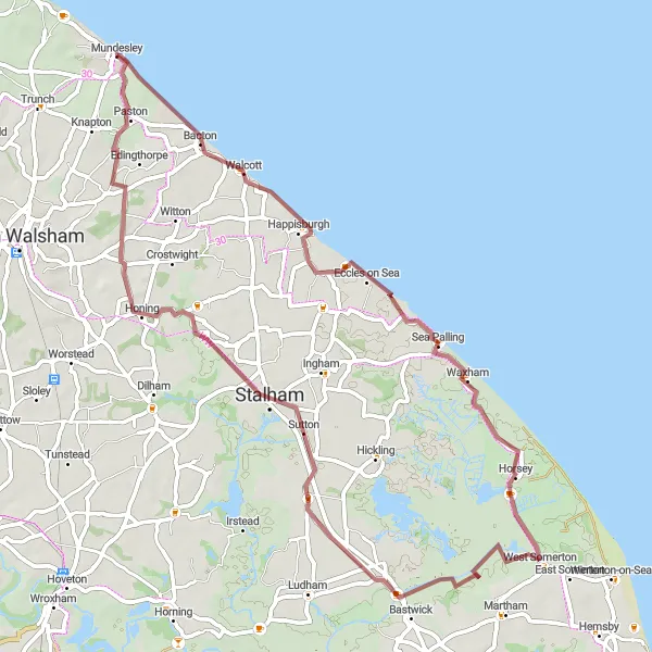
Gravel Escapade

Escape into the gravel roads near Mundesley
Embark on an exciting gravel escapade near Mundesley, covering a distance of 77 km with an ascent of 424 m. This route is perfect for gravel bike enthusiasts seeking a challenging yet rewarding adventure. Discover hidden gems, picturesque landscapes, and beautiful countryside vistas along the way.
Coastal Exploration
Embark on a coastal exploration through the picturesque landscapes of East Anglia
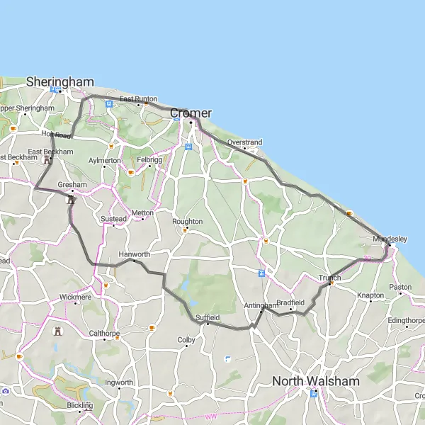
Coastal Exploration is a captivating road cycling route that covers a distance of 53 kilometers with an ascent of 323 meters. Starting near Mundesley, this route takes you along the stunning Norfolk coastline and through charming villages. Enjoy the refreshing sea breeze and panoramic sea views as you pedal along the scenic roads. Highlights of the route include the picturesque village of Trunch, Barningham Winter, and Cromer. Immerse yourself in the beauty of East Anglia's coastal scenery on this unforgettable cycling adventure.
Embark on an epic cycling adventure through the stunning landscapes of North Norfolk
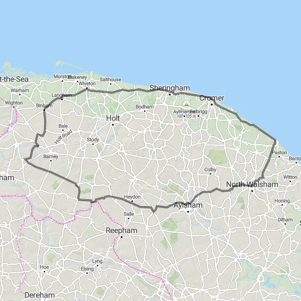
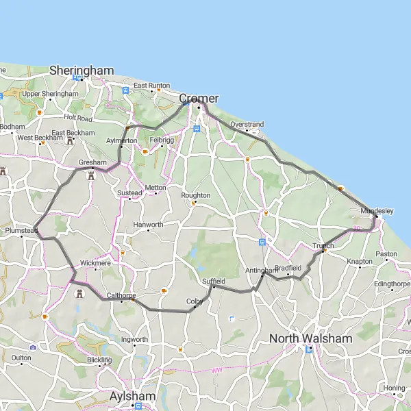
North Norfolk Escapade is an epic road cycling route that spans 95 kilometers with a challenging ascent of 500 meters. This route is designed for experienced cyclists looking for a challenge. Starting near Mundesley, this route takes you through picturesque villages, lush farmlands, and rolling hills. Highlights of the route include North Walsham, Aylsham, and Binham. Immerse yourself in the breathtaking beauty of North Norfolk on this unforgettable cycling adventure.
Road Adventure
Embark on a picturesque road journey near Mundesley
Experience the beauty of East Anglia on this scenic road adventure near Mundesley. Covering a distance of 79 km and an ascent of 315 m, this route is perfect for road cycling enthusiasts. Enjoy scenic landscapes, quaint villages, and historical landmarks along the way.

Discover the picturesque countryside near Mundesley
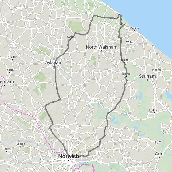
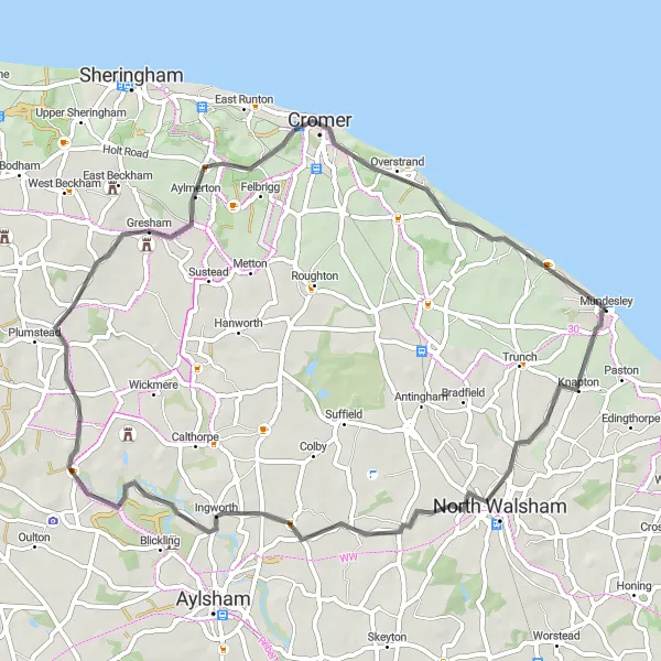
Embark on a scenic journey through the countryside near Mundesley, covering a total distance of 123 km and an ascent of 399 m. Experience the beauty of rolling hills, charming villages, and historical sites along this road cycling route. This challenging route is perfect for cyclists seeking a memorable outdoor adventure.
Norfolk Coastal Experience
Discover the breathtaking beauty of the Norfolk coastline on this road cycling route
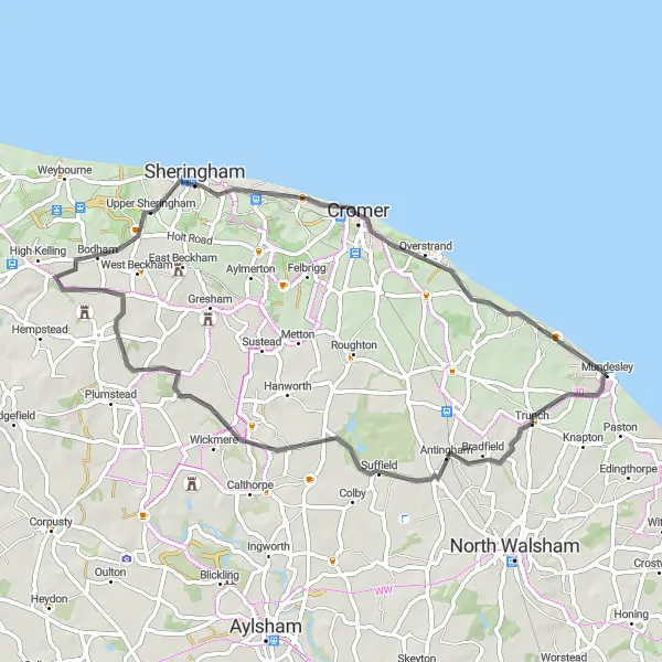
The Norfolk Coastal Experience is a stunning road cycling route that takes you along the beautiful coastline of Norfolk. With a total distance of 48 kilometers and an ascent of 291 meters, this route offers a mix of flat and hilly sections, making it suitable for intermediate cyclists. The route starts near Mundesley and takes you through picturesque villages and charming countryside. Highlights of the route include the quaint village of Trunch and the scenic Aylmerton and Trimingham.
Countryside Charm
Explore the enchanting countryside of East Anglia on this road cycling route
Countryside Charm is a scenic road cycling route that stretches over 54 kilometers with a challenging ascent of 314 meters. Starting near Mundesley, this route takes you through idyllic landscapes and charming villages. Enjoy the rolling hills and picturesque countryside views as you pedal along. Highlights of the route include the quaint village of Swafield and the stunning Beacon Hill and Trimingham. Immerse yourself in the charm of East Anglia's countryside on this memorable cycling adventure.
Cycling routes nearby:

Nearby regions: