Picturesque Countryside
A road cycling route starting from Mundesley
Discover the picturesque countryside near Mundesley
Map

Embark on a scenic journey through the countryside near Mundesley, covering a total distance of 123 km and an ascent of 399 m. Experience the beauty of rolling hills, charming villages, and historical sites along this road cycling route. This challenging route is perfect for cyclists seeking a memorable outdoor adventure.
road
123 km
399 m
Savage
Route profile
Highlights on the route
0 km
0 km
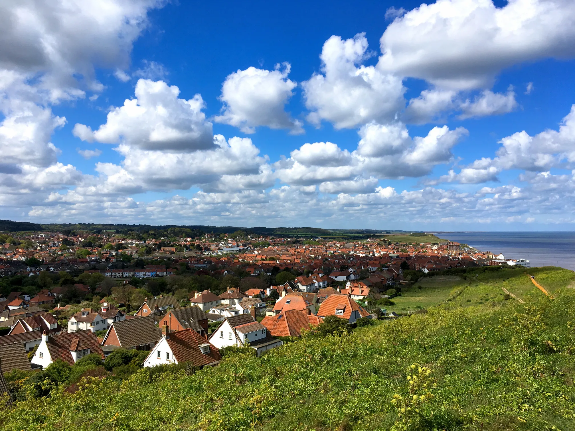
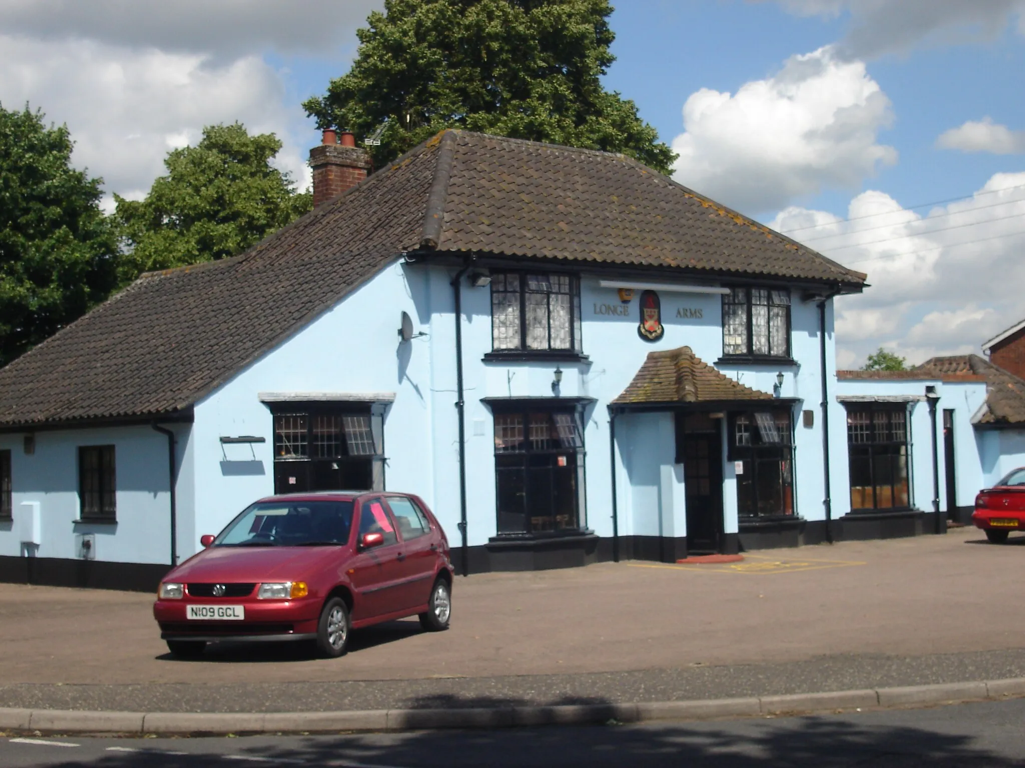
Start: Mundesley Village centerMundesley: Explore coastal routes and scenic landscapes in Mundesley.
Mundesley is a small locality located in the East Anglia region of the United Kingdom. From a cyclist's perspective, Mundesley offers scenic coastal routes and picturesque countryside scenery. The roads in this area are generally quiet and suitable for road cycling. Cyclists can enjoy exploring the Norfolk Coast Area of Outstanding Natural Beauty, with its beautiful beaches and rolling landscapes. Not far from Mundesley, the renowned Bacton Woods offer mountain biking trails for those seeking off-road adventures. With its diverse range of cycling opportunities and beautiful natural landscapes, Mundesley ranks at a 4 for cyclists. It is an excellent destination for both road and gravel cyclists.14 km
14 km
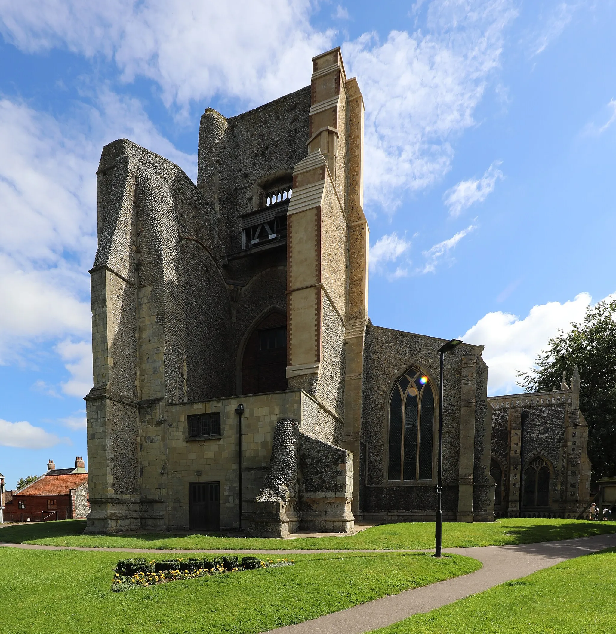
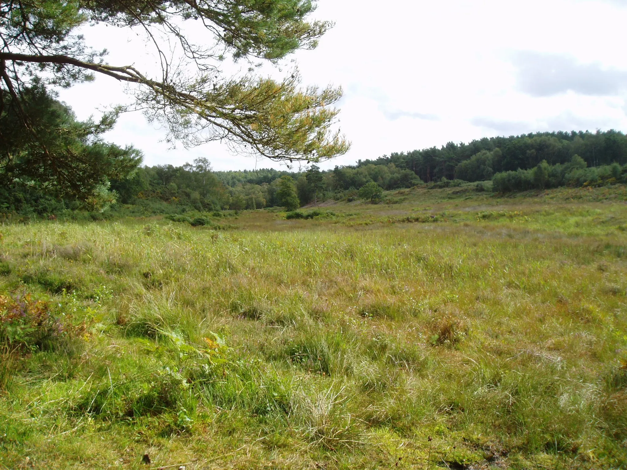
LessinghamVillageLessingham, at 14 km, is a picturesque village known for its tranquil setting and traditional thatched-roof cottages.
26 km
26 km
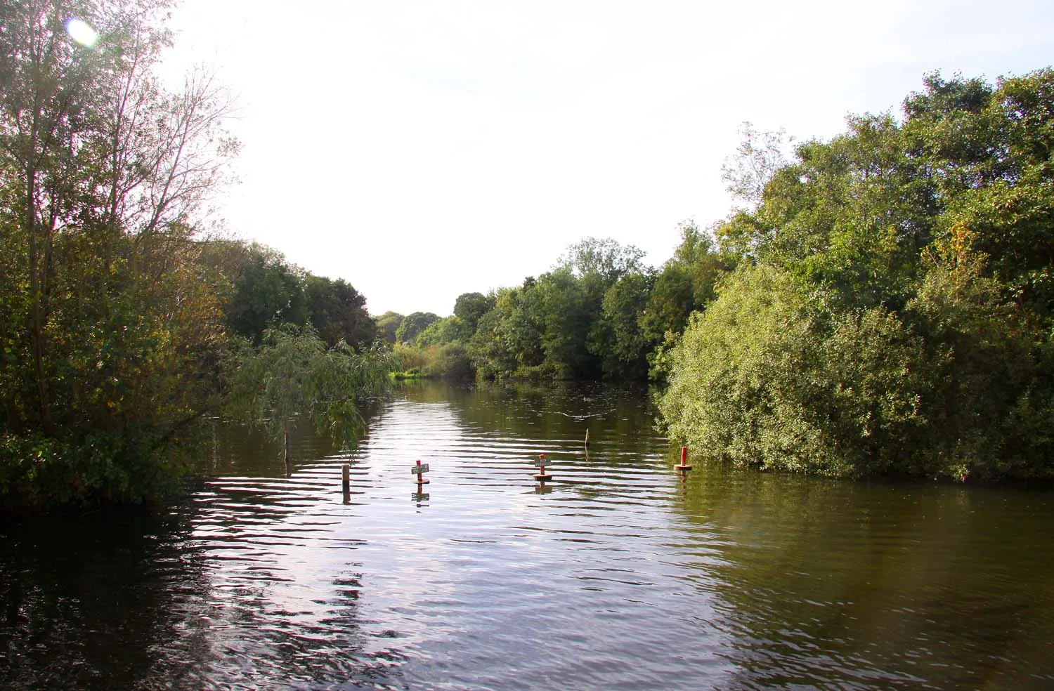
Horsey MereViewpointHorsey Mere, situated 26 km on the route, is a haven for birdwatchers and nature enthusiasts, with its diverse wildlife and peaceful surroundings.
26 km
26 km
Horsey WindpumpAttractionHorsey Windpump, at 26 km, offers panoramic views of the Norfolk Broads and is a great spot for photography enthusiasts.
39 km
39 km
Caister Roman FortCastle RuinsVisit the historic Caister Roman Fort at 39 km on the route and immerse yourself in ancient history while enjoying stunning coastal views.
80 km
80 km
AlpingtonVillageAlpington, located at 80 km, is a legendary cycling spot famous for its challenging climbs and stunning rural landscapes.
103 km
103 km
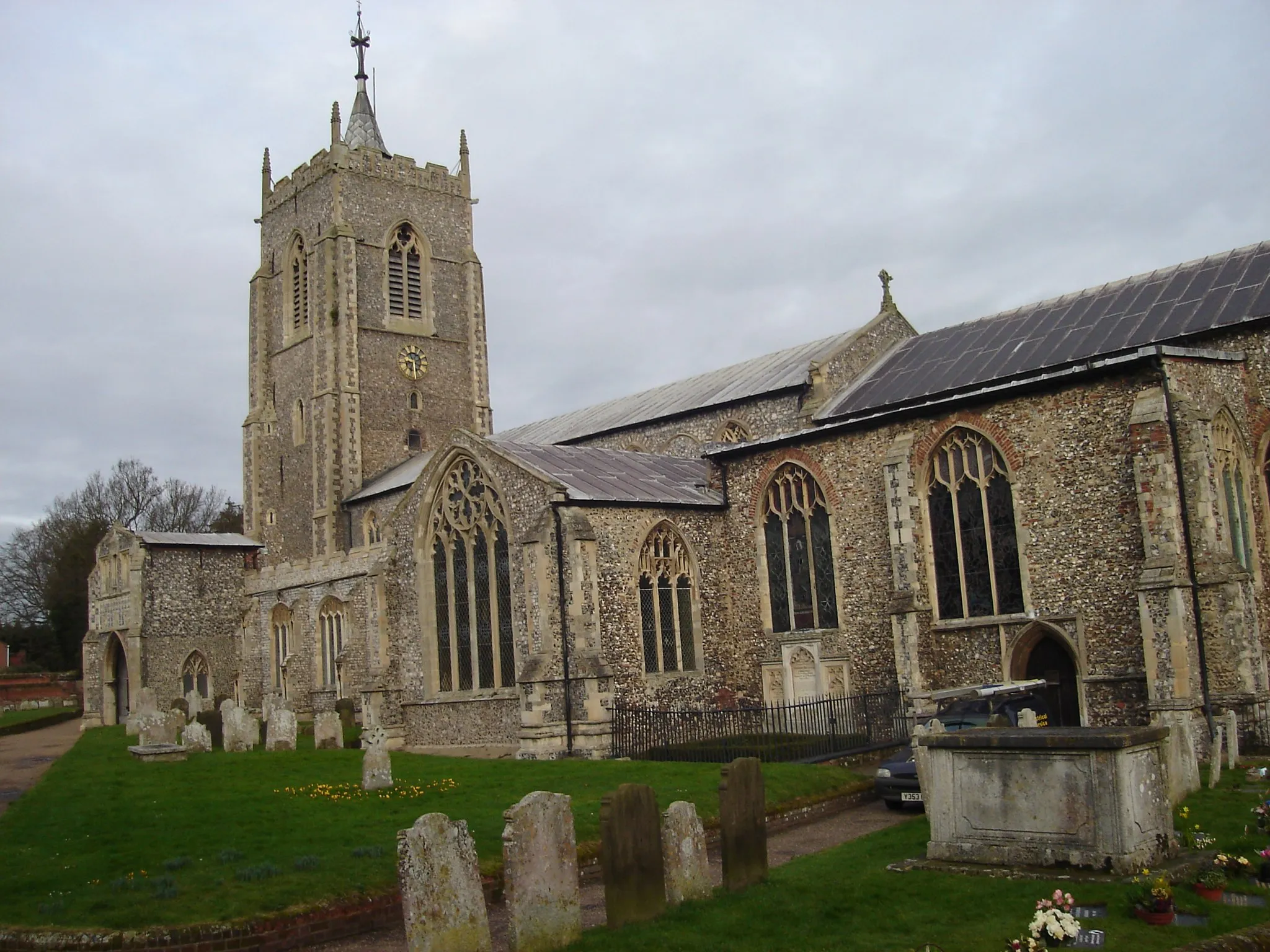
HorsteadVillageHorstead, at 103 km, is a picturesque village with its medieval church, quaint cottages, and peaceful river walks.
120 km
120 km
KnaptonVillageKnapton, situated at 120 km, offers beautiful views of the Norfolk countryside and is a perfect spot for a rest and refreshments.
123 km
123 km
Finish: Mundesley Village centerMundesley: Explore coastal routes and scenic landscapes in Mundesley.
Cycling routes nearby: