Gravel Adventure
A gravel cycling route starting from Mundesley
Explore the gravel roads near Mundesley
Map
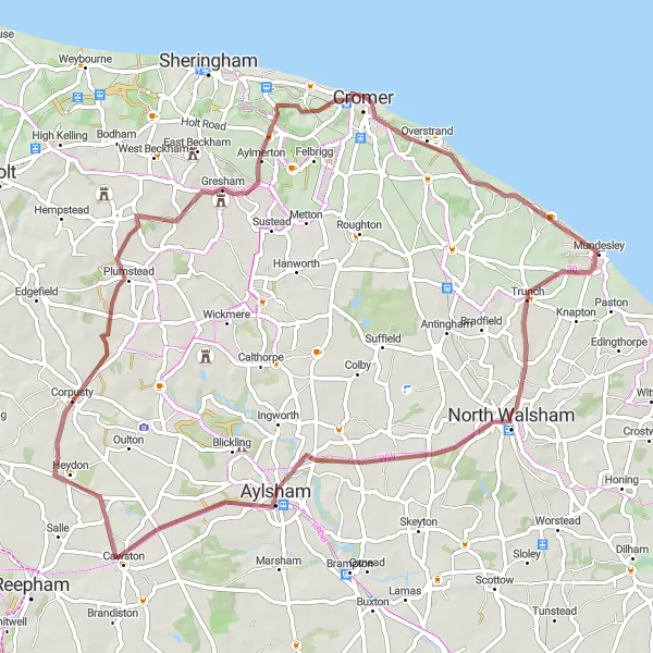
Embark on a thrilling gravel adventure near Mundesley, East Anglia. This distinctive route covers a total distance of 67 km, with a moderate ascent of 416 m. It is suitable for gravel bikes, offering a unique off-road experience. Discover picturesque villages and stunning landscapes along the way.
gravel
67 km
416 m
Tough
Route profile
Highlights on the route
0 km
0 km
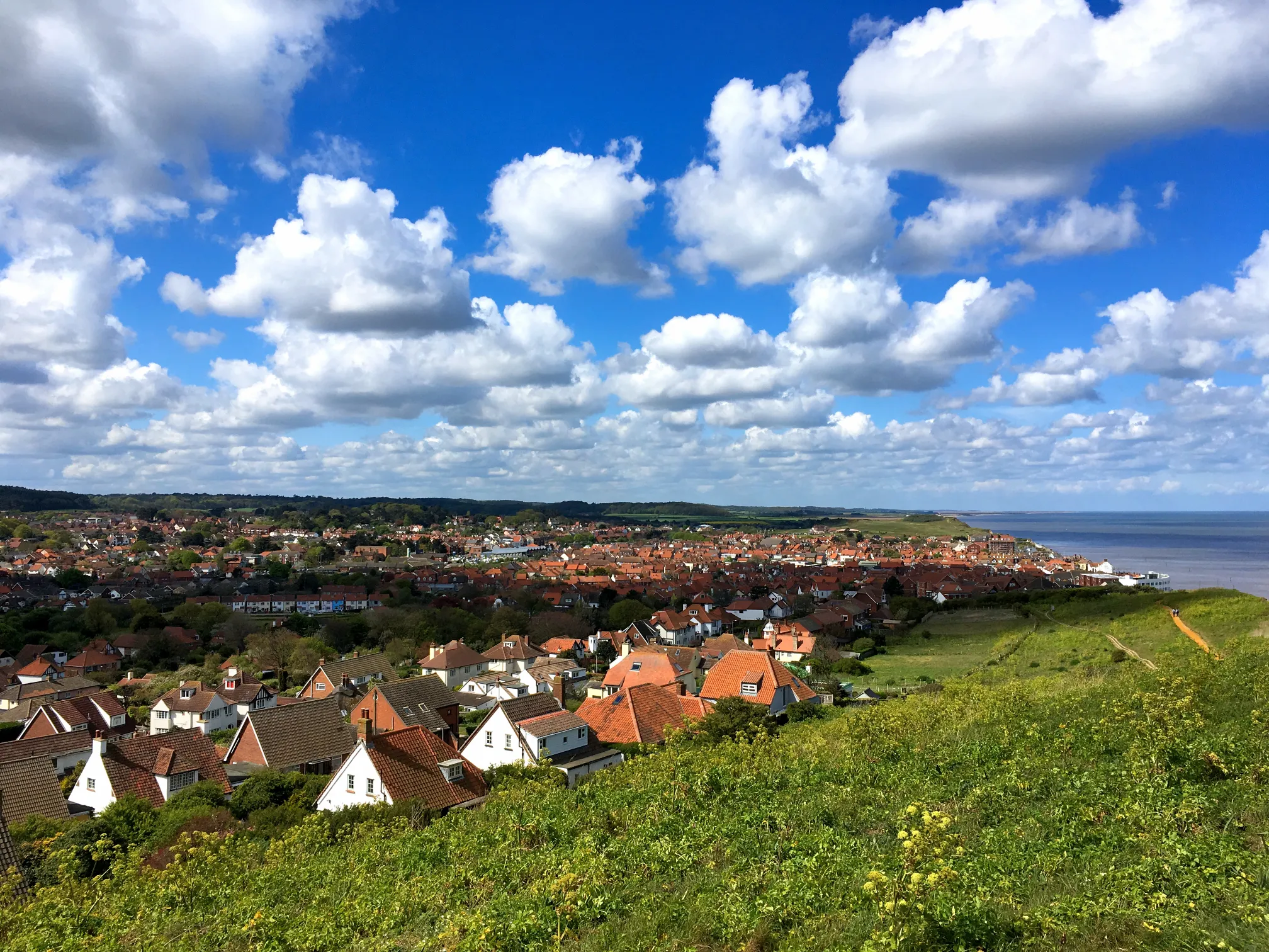
Start: Mundesley Village centerMundesley: Explore coastal routes and scenic landscapes in Mundesley.
Mundesley is a small locality located in the East Anglia region of the United Kingdom. From a cyclist's perspective, Mundesley offers scenic coastal routes and picturesque countryside scenery. The roads in this area are generally quiet and suitable for road cycling. Cyclists can enjoy exploring the Norfolk Coast Area of Outstanding Natural Beauty, with its beautiful beaches and rolling landscapes. Not far from Mundesley, the renowned Bacton Woods offer mountain biking trails for those seeking off-road adventures. With its diverse range of cycling opportunities and beautiful natural landscapes, Mundesley ranks at a 4 for cyclists. It is an excellent destination for both road and gravel cyclists.3 km
3 km
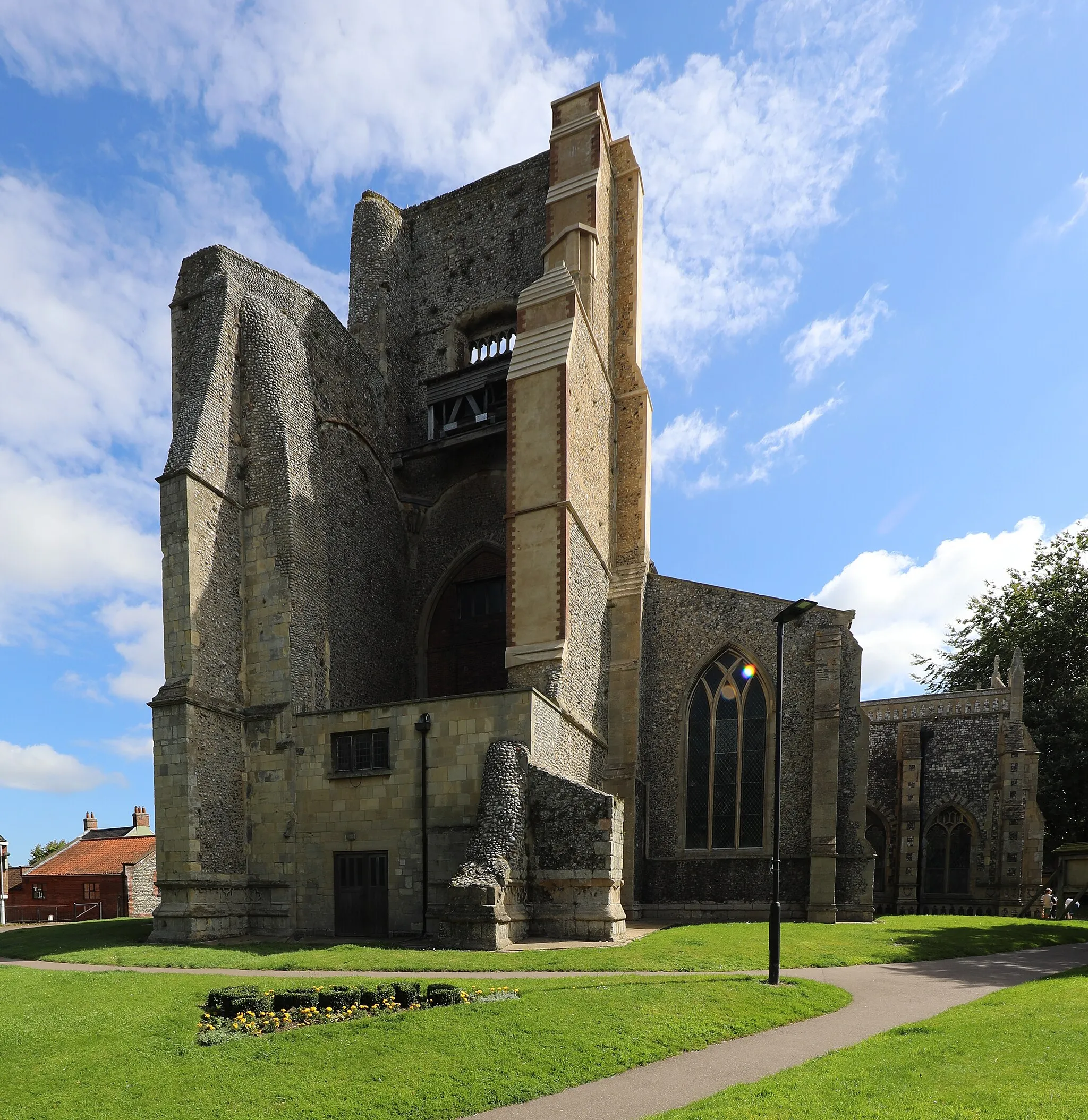
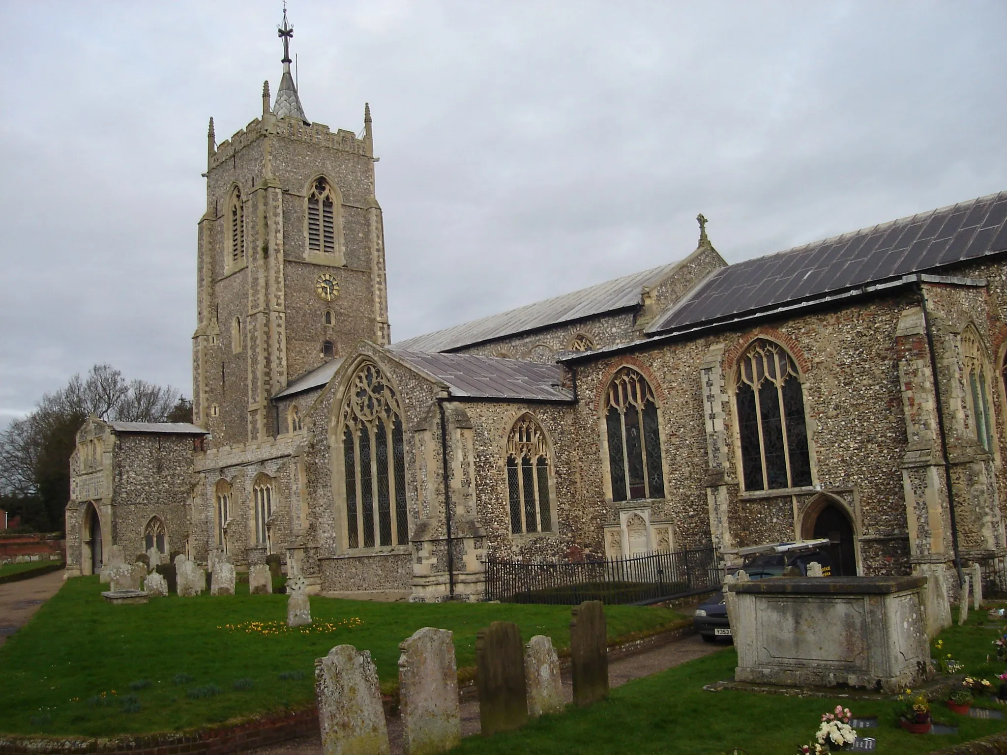
TrunchVillageLocated at a distance of 3 km on the route, Trunch is a charming village known for its historic church and quaint atmosphere.
19 km
19 km
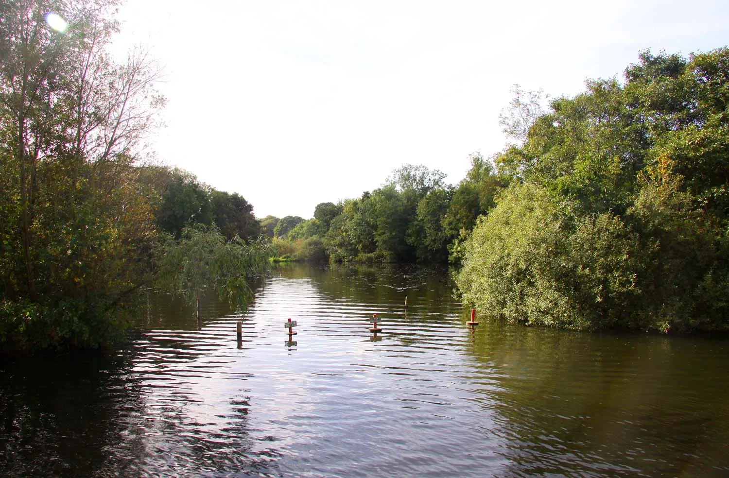
AylshamTownAylsham, located 19 km on the route, is a must-visit town that boasts a rich history and vibrant market.
44 km
44 km
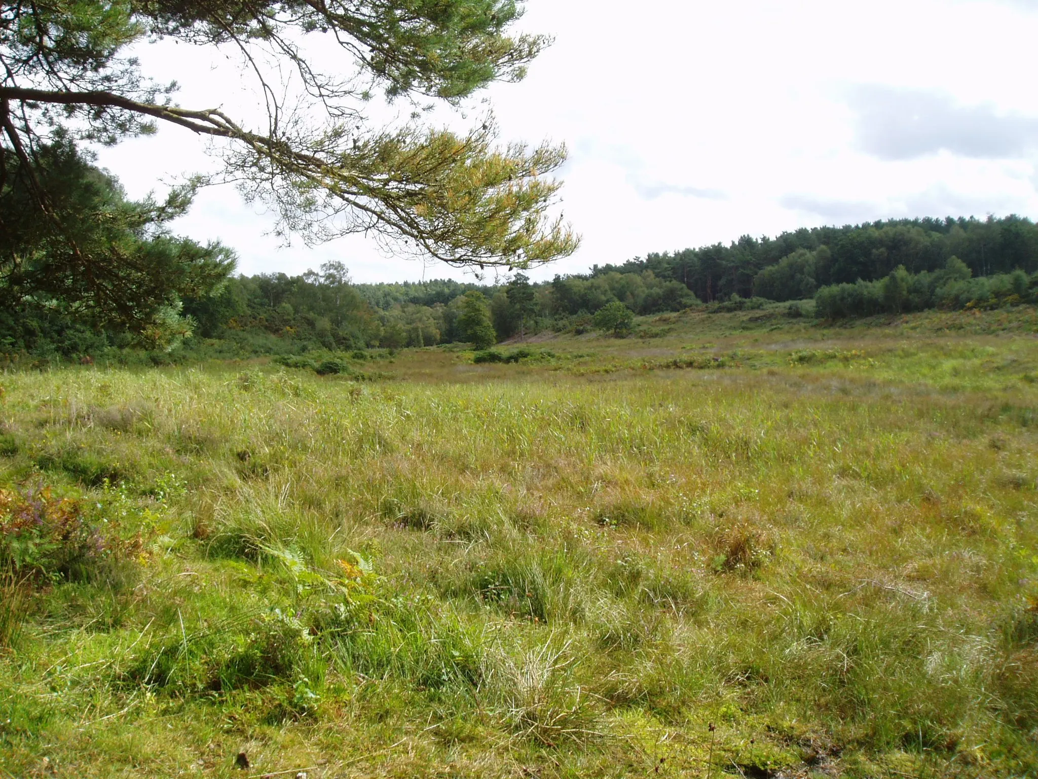
North BarninghamHamletNorth Barningham, situated 44 km on the route, is a hidden gem famous for its beautiful gardens and traditional country pubs.
50 km
50 km
Beacon Hill105 mPeakBeacon Hill, located 50 km on the route, offers panoramic views of the surrounding countryside and is a great spot for a picnic.
62 km
62 km
TriminghamVillageAs you reach Trimingham at 62 km, you'll be mesmerized by the stunning coastline and sandy beaches.
67 km
67 km
Finish: Mundesley Village centerMundesley: Explore coastal routes and scenic landscapes in Mundesley.
Cycling routes nearby: