Riverside Gravel Ride
A gravel cycling route starting from Rawcliffe
Enjoy a leisurely gravel ride along the riverside near Rawcliffe
Map
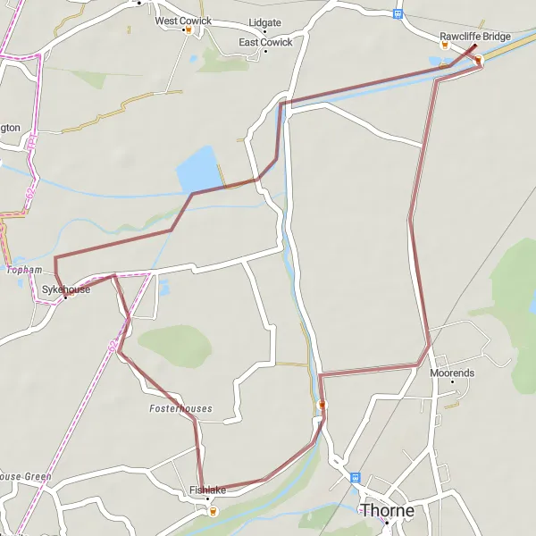
Escape into nature with this gentle gravel cycling route that follows the scenic riverside near Rawcliffe. Covering a distance of 27 kilometers, with no significant ascent, this ride is perfect for beginners or those looking for a relaxing experience. Immerse yourself in the tranquility of the riverside, as you pedal through peaceful villages and lush green landscapes. Take a break by the water, enjoy a picnic, or simply soak in the beauty of your surroundings. This route promises a serene adventure through some of East Yorkshire's most picturesque settings.
gravel
27 km
0 m
Chill
Route profile
Highlights on the route
0 km
0 km
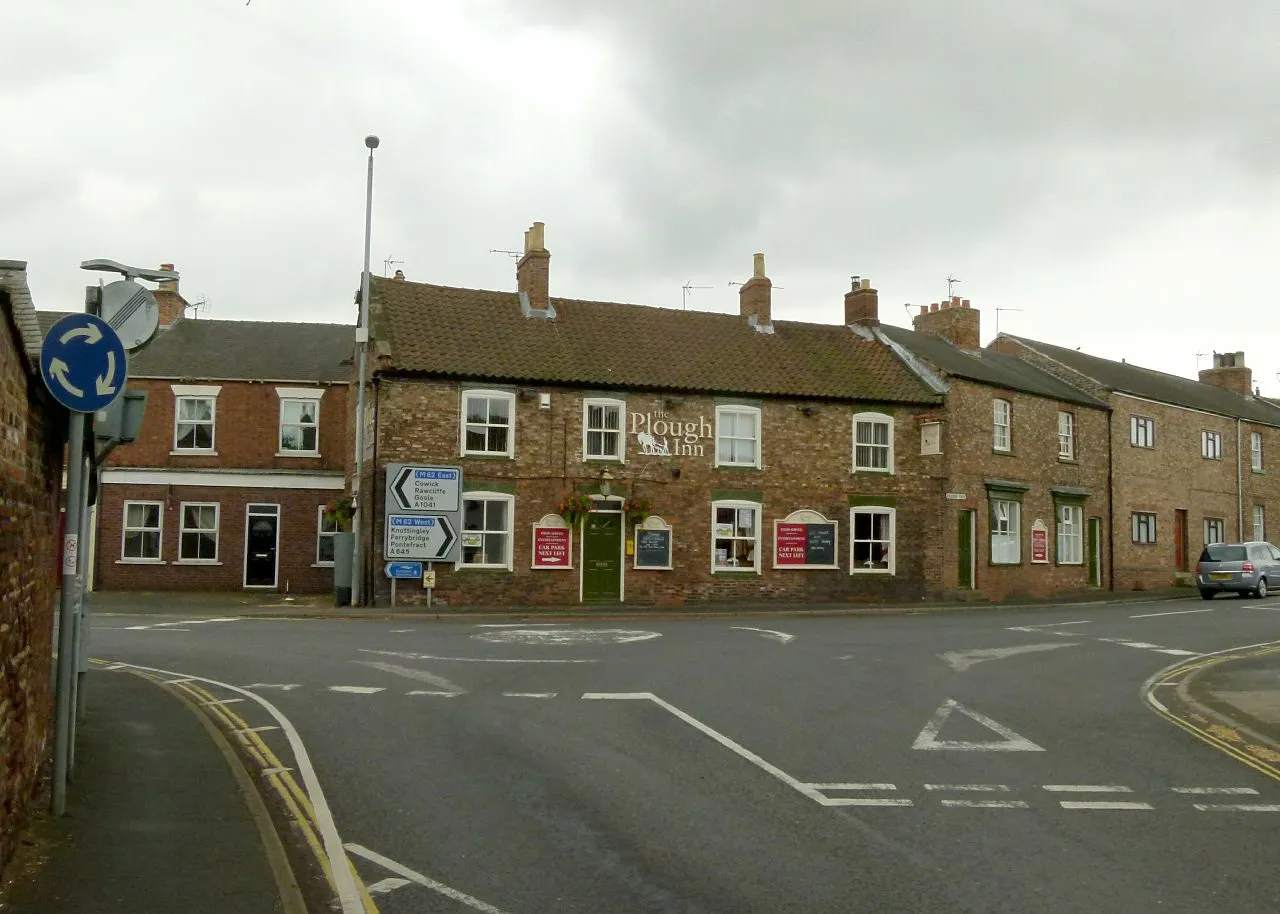
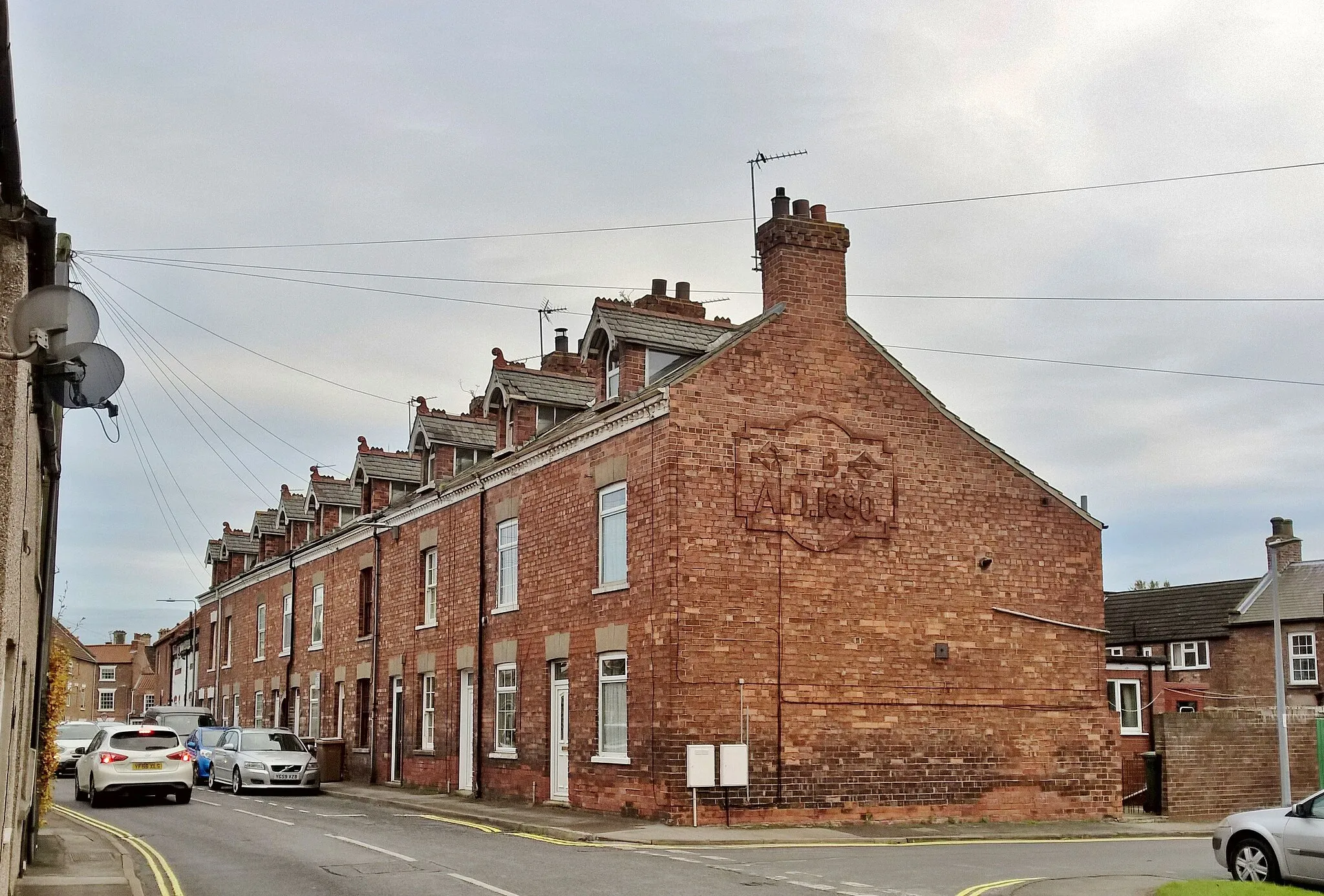
Start: Rawcliffe Bridge Village centerRawcliffe: Cycling in the stunning Yorkshire Wolds with views of the Humber Bridge
Rawcliffe in East Yorkshire and Northern Lincolnshire, United Kingdom, is a great locality for road and gravel cyclists. The region offers a mix of flat and gently rolling terrain, providing opportunities for leisurely rides. Rawcliffe is located near the famous Humber Bridge, which offers stunning views across the river. Cyclists visiting the area can also explore the nearby Yorkshire Wolds and enjoy the picturesque landscapes. With its cyclist-friendly amenities and scenic routes, Rawcliffe is a fantastic destination for a cycling holiday.11 km
11 km
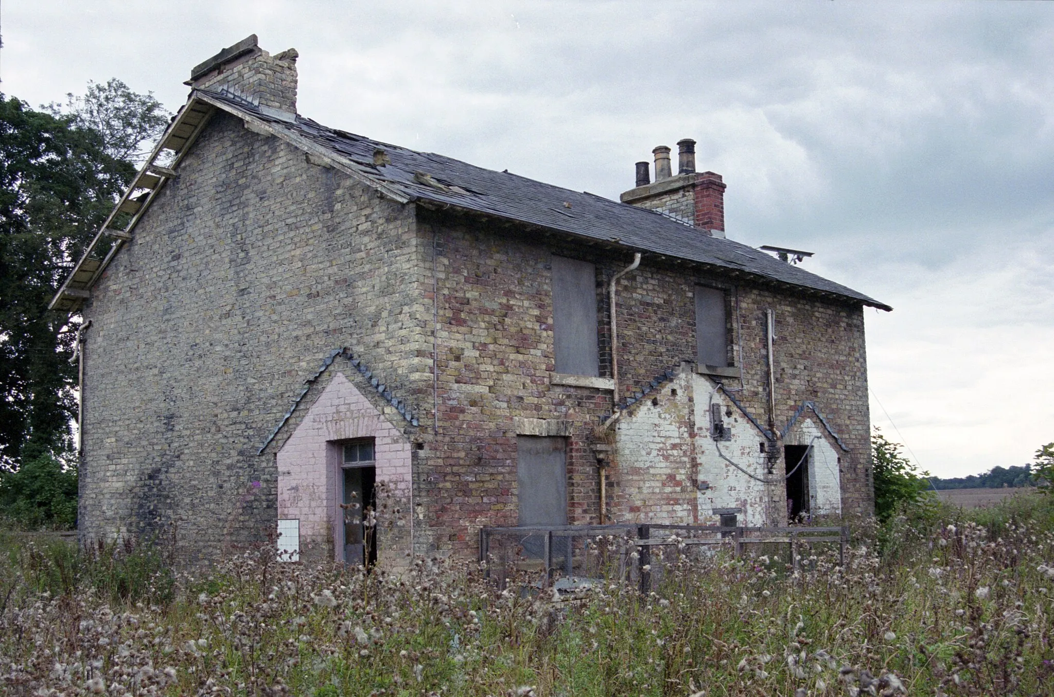
FishlakeVillageDiscover Fishlake, a charming village known for its picturesque canal and historic 19th-century windmill.
17 km
17 km
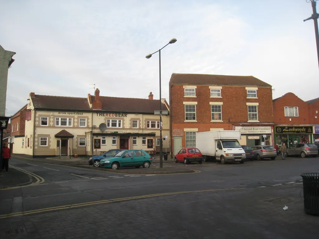
SykehouseVillagePass through Sykehouse and appreciate the stunning views offered by the tranquil donkey sanctuary located in the heart of this village.
24 km
24 km
East CowickVillageExplore East Cowick and its Ramsar site, where you can spot various birds, including migratory species, in their natural habitats.
27 km
27 km
Finish: Rawcliffe Bridge Village centerRawcliffe: Cycling in the stunning Yorkshire Wolds with views of the Humber Bridge
Cycling routes nearby: