Nature and History
A gravel cycling route starting from Rawcliffe
Embark on a gravel cycling adventure exploring nature and history near Rawcliffe
Map

This gravel cycling route presents the perfect blend of natural beauty and historical landmarks. With a distance of 73 kilometers and an ascent of 173 meters, it offers a moderate-level challenge suitable for well-trained amateurs. Explore charming villages, meander through picturesque landscapes, and discover hidden treasures along the way. Encounter historical sites and witness the enchanting beauty of nature as you pedal through diverse terrains. This route promises a fulfilling cycling journey that combines the best of both worlds.
gravel
73 km
173 m
Tough
Route profile
Highlights on the route
0 km
0 km
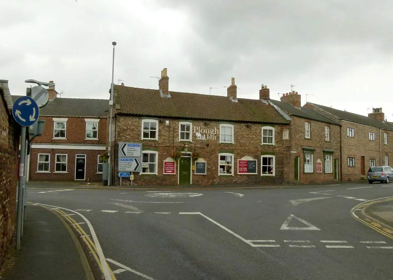
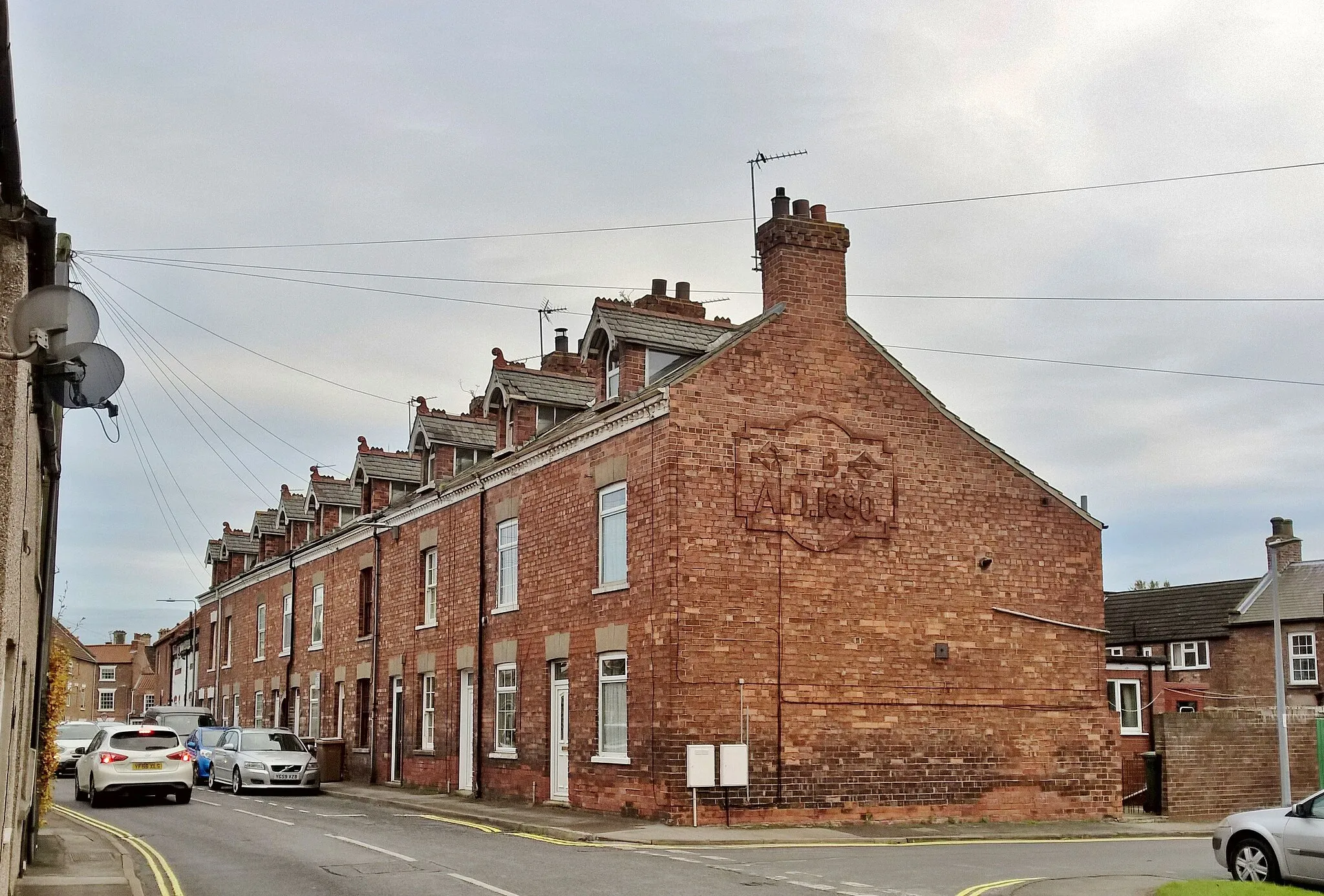
Start: Rawcliffe Village centerRawcliffe: Cycling in the stunning Yorkshire Wolds with views of the Humber Bridge
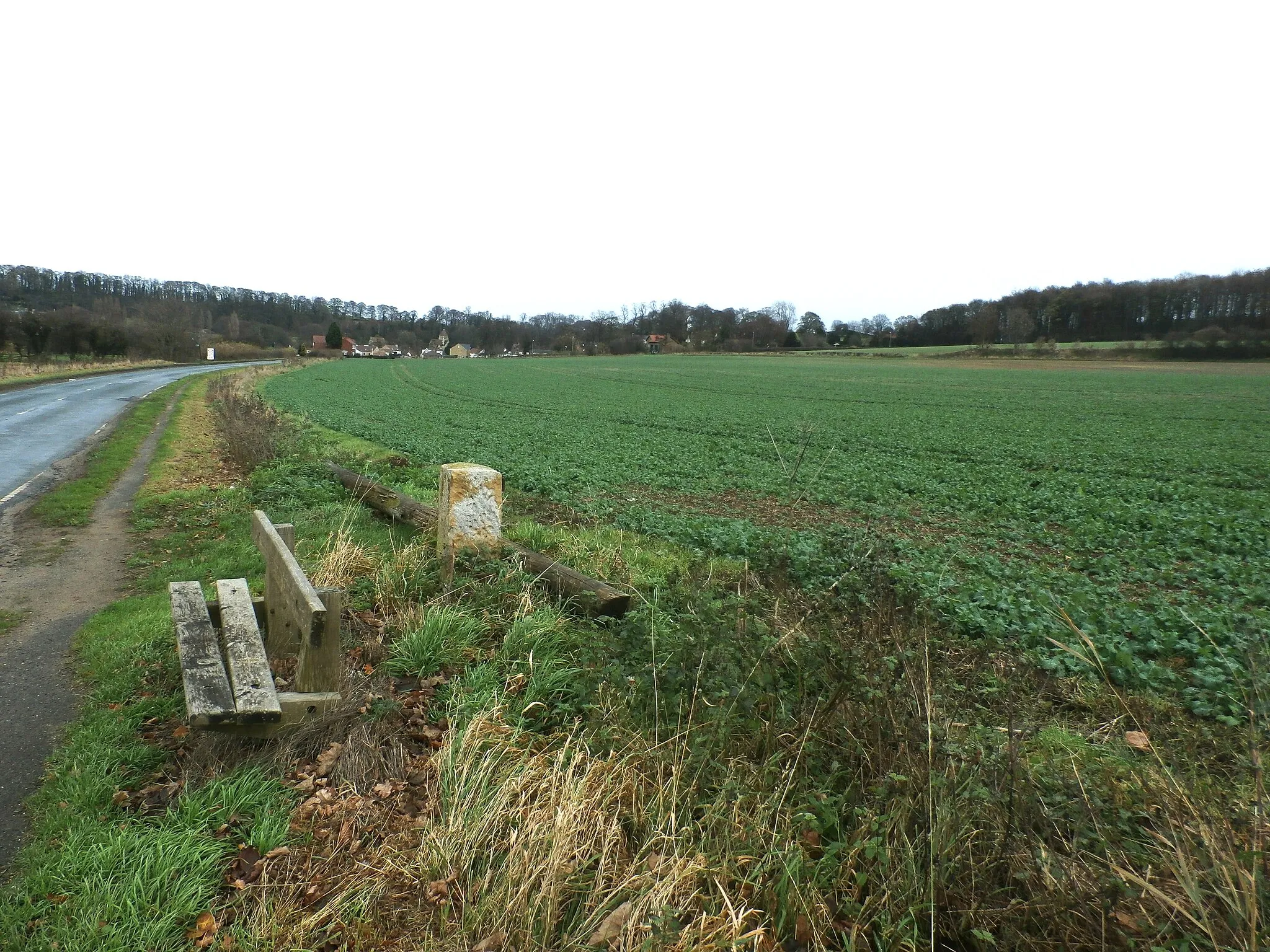
Rawcliffe in East Yorkshire and Northern Lincolnshire, United Kingdom, is a great locality for road and gravel cyclists. The region offers a mix of flat and gently rolling terrain, providing opportunities for leisurely rides. Rawcliffe is located near the famous Humber Bridge, which offers stunning views across the river. Cyclists visiting the area can also explore the nearby Yorkshire Wolds and enjoy the picturesque landscapes. With its cyclist-friendly amenities and scenic routes, Rawcliffe is a fantastic destination for a cycling holiday.12 km
12 km
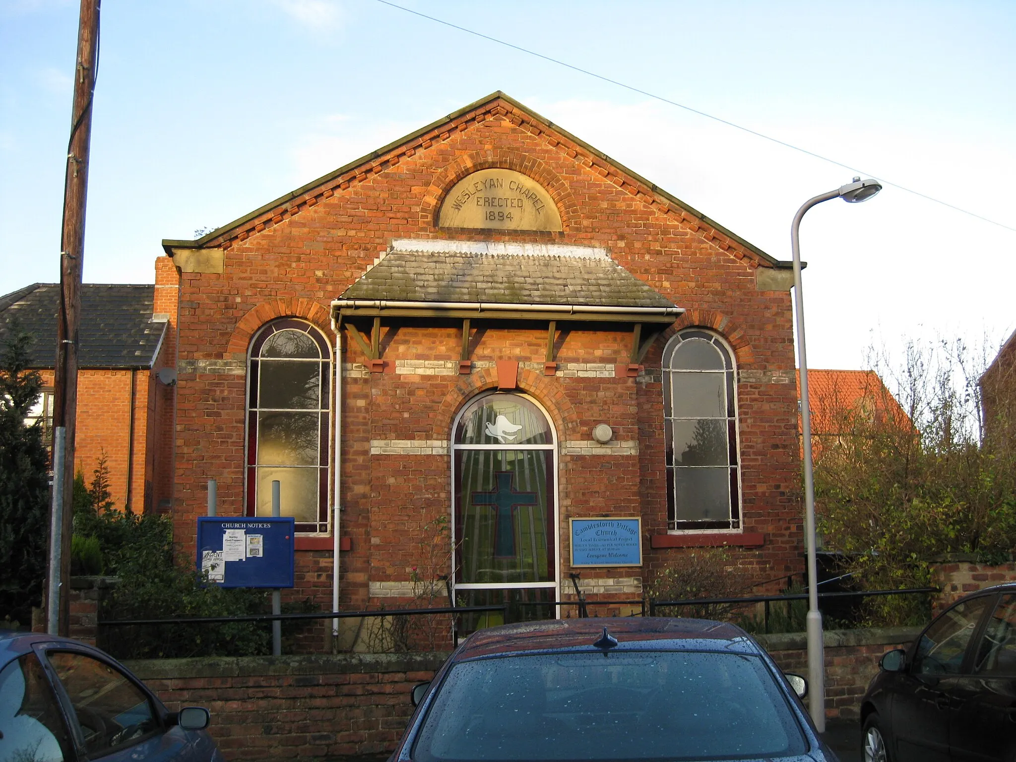
BalneVillageDiscover Balne, a quaint village known for its picturesque church and traditional rural charm.
27 km
27 km
Thorpe AudlinVillagePedal through Thorpe Audlin and admire its historic windmill, which offers a fascinating insight into local heritage.
53 km
53 km
BealVillageExplore Beal and its Viking-inspired sculptures, adding a unique touch to this scenic village.
66 km
66 km
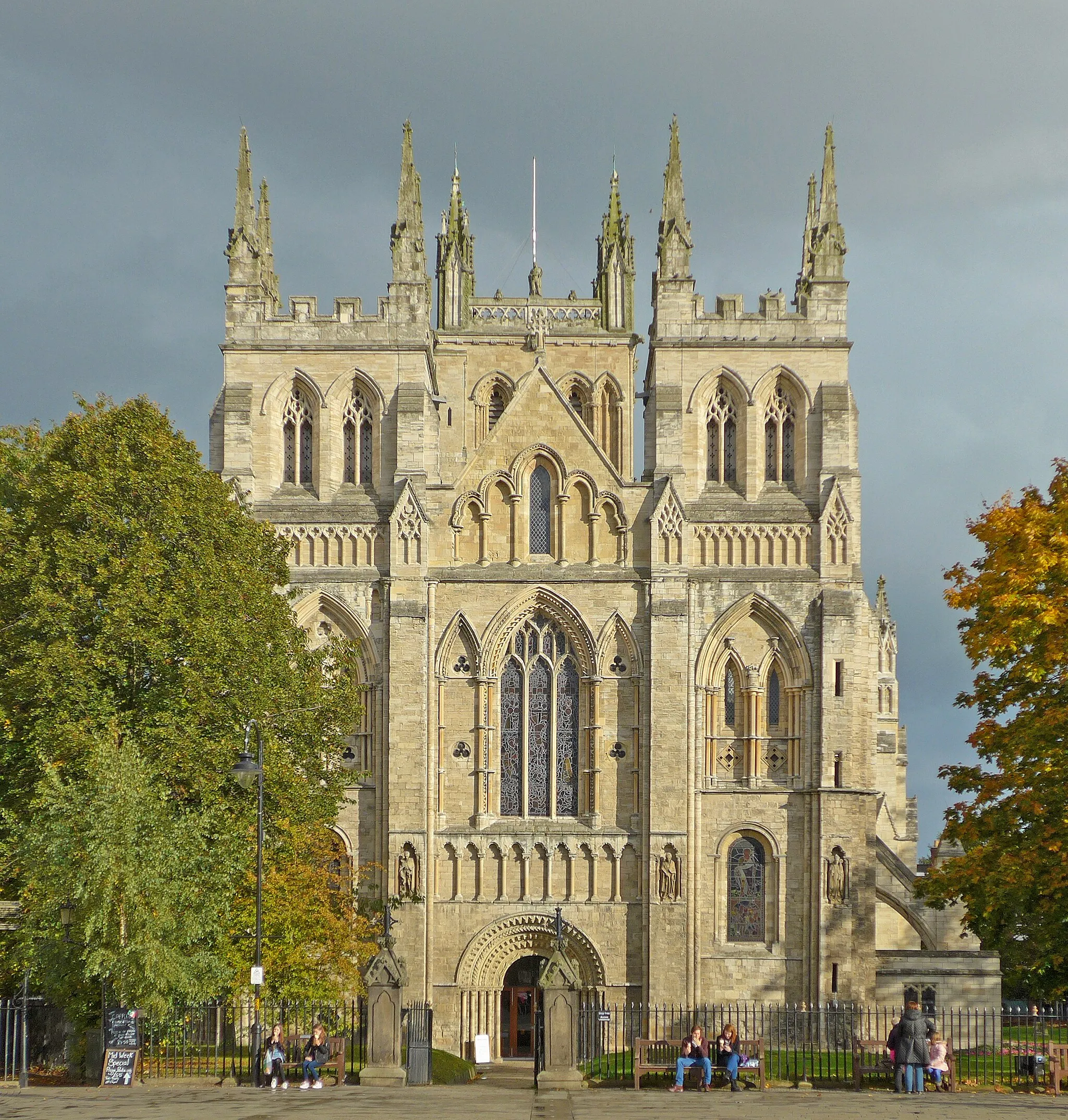
SnaithTownPass through Snaith and marvel at the magnificence of its Grade I listed Snaith Priory, a hidden architectural gem.
73 km
73 km
Finish: Rawcliffe Village centerRawcliffe: Cycling in the stunning Yorkshire Wolds with views of the Humber Bridge
Cycling routes nearby: