The Greenway Ride
A gravel cycling route starting from Skelton
Embark on an off-road adventure through the tranquil nature reserves and countryside of East Yorkshire and Northern Lincolnshire.
Map
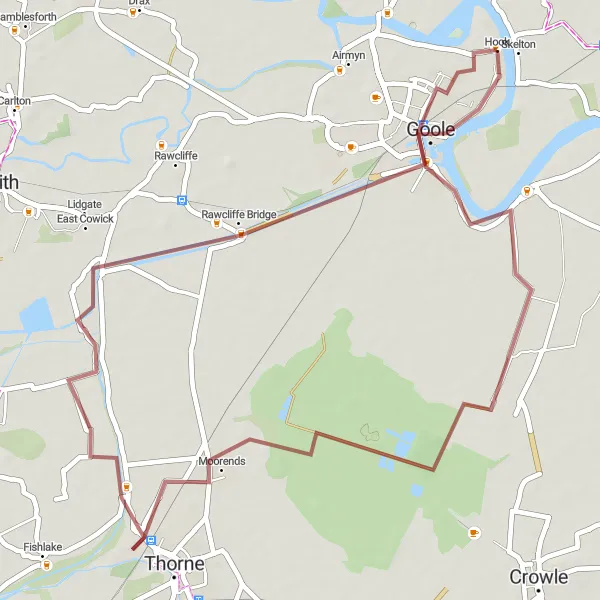
The Greenway Ride is a gravel cycling route that spans 46km, making it ideal for those seeking a moderate off-road cycling experience. With only 6m of ascent, this route is perfect for beginners or cyclists looking for a more leisurely pace. Take in the scenic beauty of Goole, Thorne Moor Viewing Tower, East Cowick, and Goole Boathouse as you explore the peaceful countryside and hidden gems of the region. The difficulty level is low, rated at 2 out of 5, while the epicness level stands at 3 out of 5 due to the peaceful atmosphere and natural wonders along the way.
gravel
46 km
6 m
Chill
Route profile
Highlights on the route
0 km
0 km
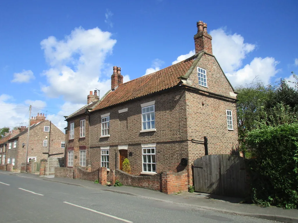
Start: Hook Village centerSkelton: Cycle-friendly locality with access to the Yorkshire Wolds.
Located in the East Yorkshire and Northern Lincolnshire region of the United Kingdom, Skelton is a cyclist-friendly locality with a range of cycling opportunities. Road cyclists will appreciate the quiet country lanes, while gravel cyclists can explore the nearby nature reserves and off-road trails. One of the highlights for cyclists is the Wolds Way Lavender farm, which offers beautiful panoramic views of the countryside. Skelton is a great base for exploring the Yorkshire Wolds and experiencing the stunning landscapes the region has to offer.3 km
3 km
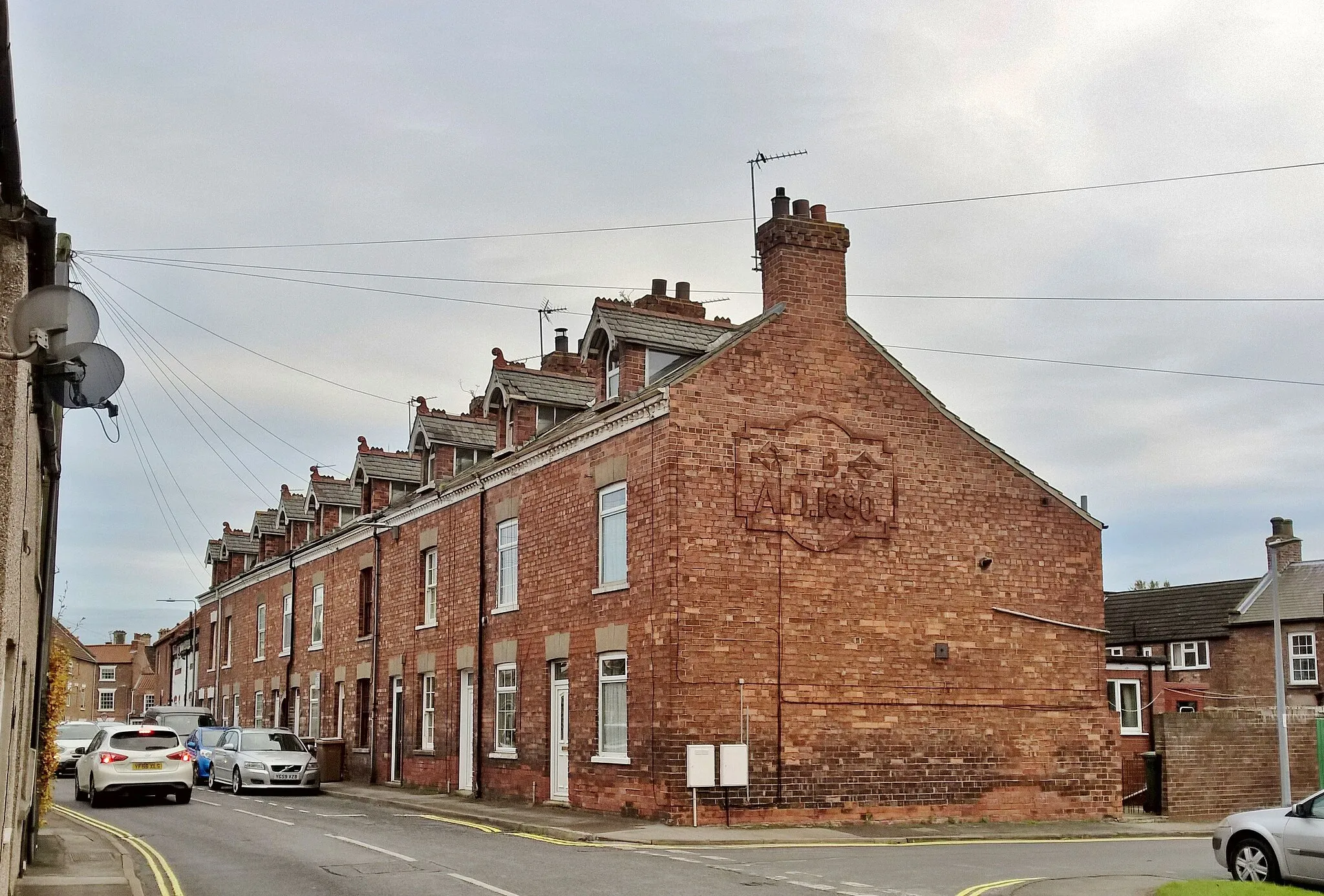
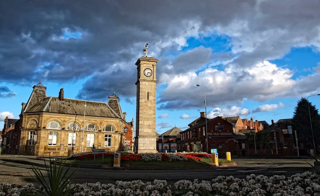
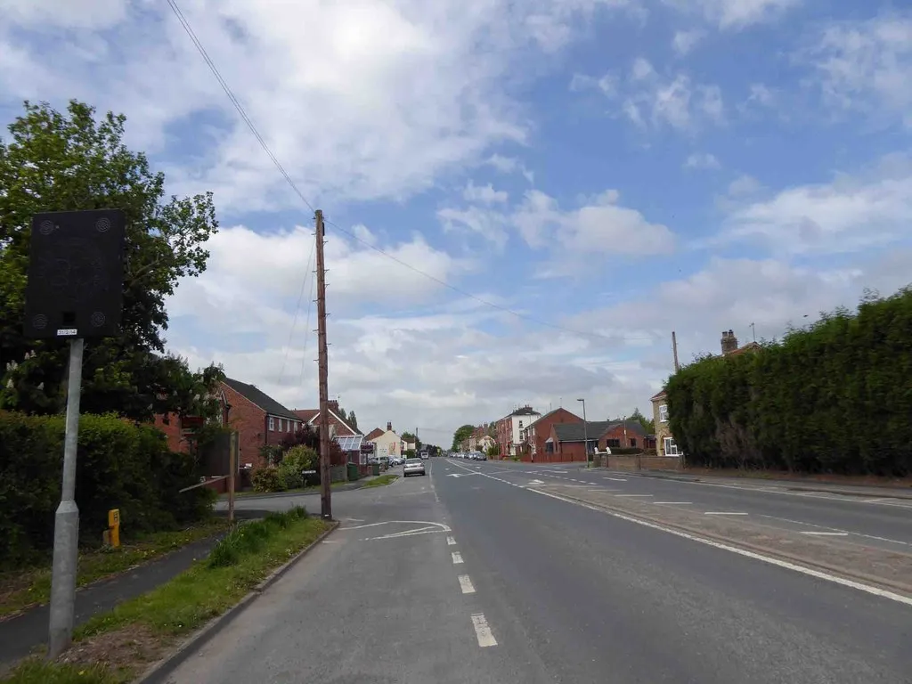
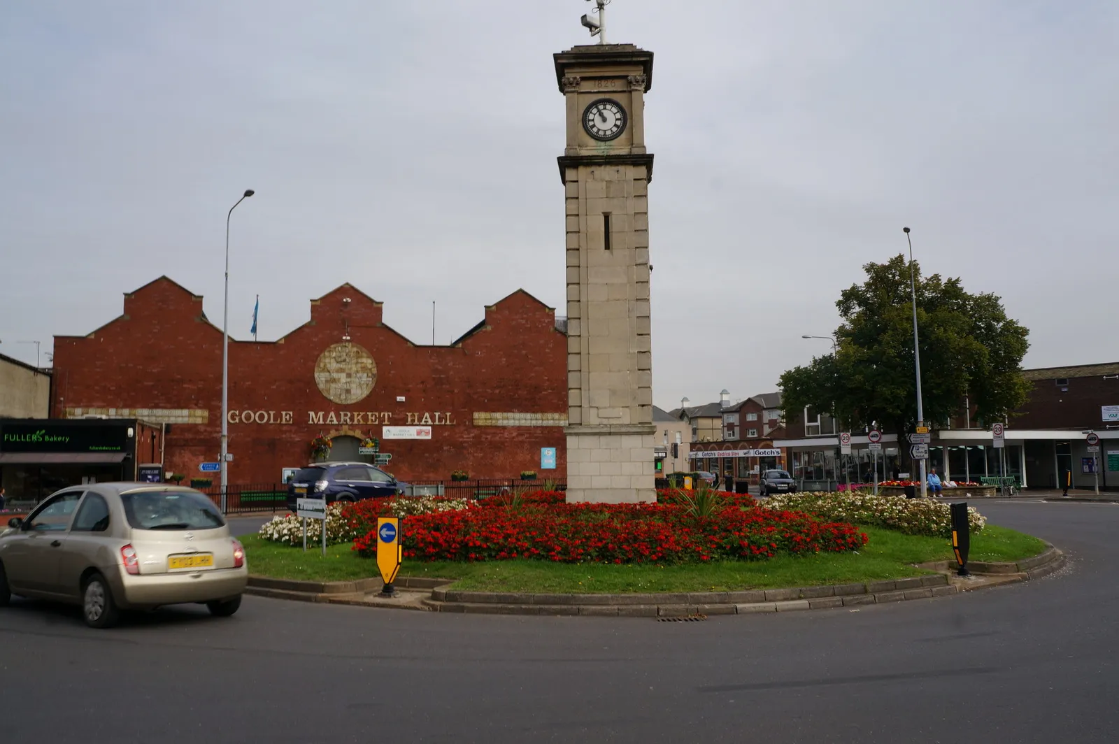
GooleTownEnjoy the charm of Goole and experience its unique blend of history, culture, and natural beauty.
16 km
16 km
THorne Moor Viewing TowerViewpointVisit the Thorne Moor Viewing Tower and take in the panoramic views of the surrounding nature reserves and wetlands.
33 km
33 km
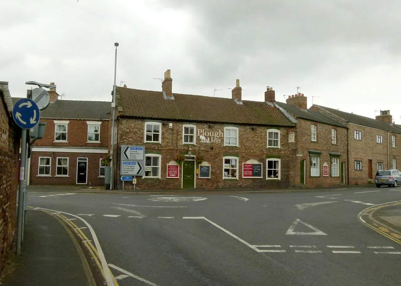
East CowickVillageTake a break in East Cowick and appreciate the tranquility of its lakeside setting and idyllic countryside.
41 km
41 km
Goole BoathouseAttractionExplore Goole Boathouse and its vibrant waterfront atmosphere, offering a range of recreational activities.
46 km
46 km
Finish: Hook Village centerSkelton: Cycle-friendly locality with access to the Yorkshire Wolds.
Cycling routes from Skelton:
Cycling routes nearby: