The Pentland Hills Loop
A road cycling route starting from Colinton
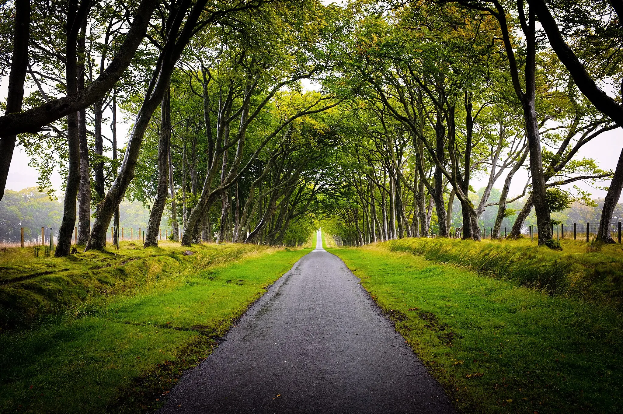
A picturesque ride through the stunning Pentland Hills
Map
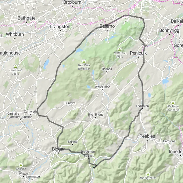
The Pentland Hills Loop is a beautiful cycling route that takes you through the breathtaking scenery of the Pentland Hills. With a total distance of 108 kilometers and an ascent of 951 meters, this route offers a challenging yet rewarding experience for cycling enthusiasts. The route is perfect for road bikers and provides a refreshing break from the hustle and bustle of city life.
road
108 km
951 m
Tough
Route profile
Highlights on the route
0 km
0 km
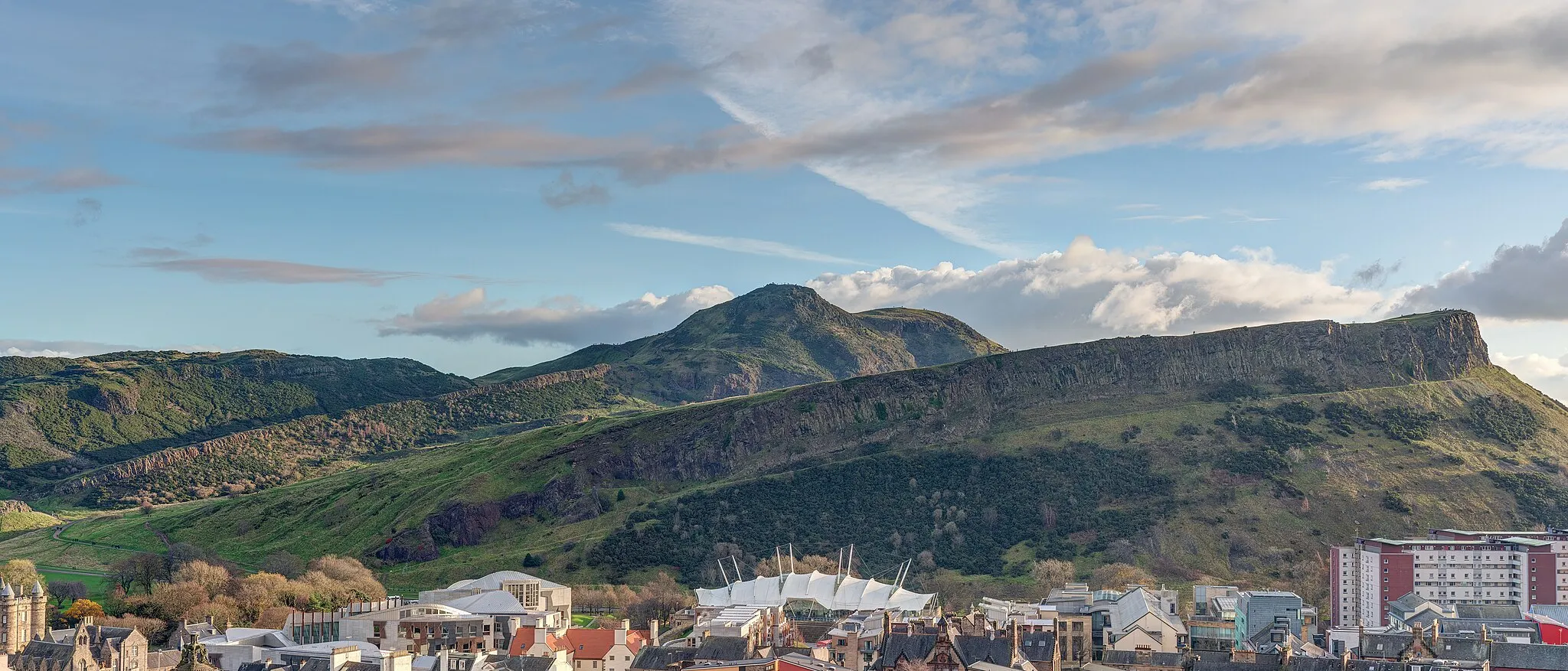
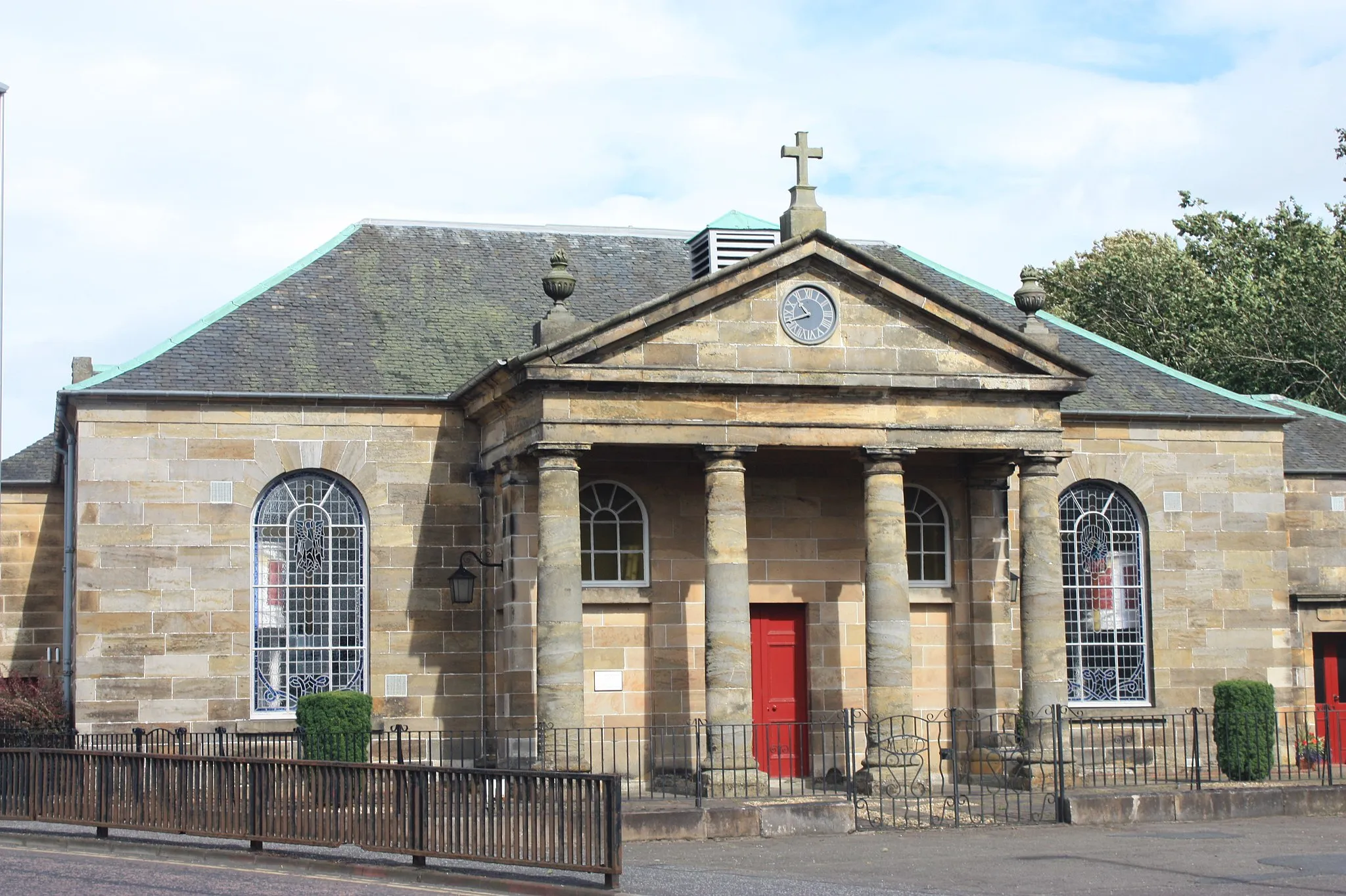
Start: Locality centerColinton: Unleash your inner adventurer in scenic Eastern Scotland.
Colinton resides in Eastern Scotland, United Kingdom, and offers a diverse range of cycling experiences. Whether you prefer road or gravel cycling, this locality has something for everyone. Surrounding Colinton are stunning routes that take you through breathtaking Scottish landscapes, featuring rolling hills, rugged moorlands, and serene lochs. Colinton also serves as an excellent base for exploring iconic cycling climbs nearby, such as Dunsyre and Dreghorn. Embark on unforgettable cycling adventures in Colinton, where the Scottish charm meets thrilling riding routes.11 km
11 km
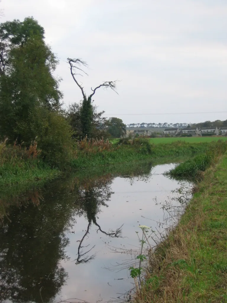
AuchendinnyVillageLocated at the 11-kilometer mark, Auchendinny offers stunning views of the surrounding countryside. Take a moment to enjoy the serene beauty of the area.
27 km
27 km
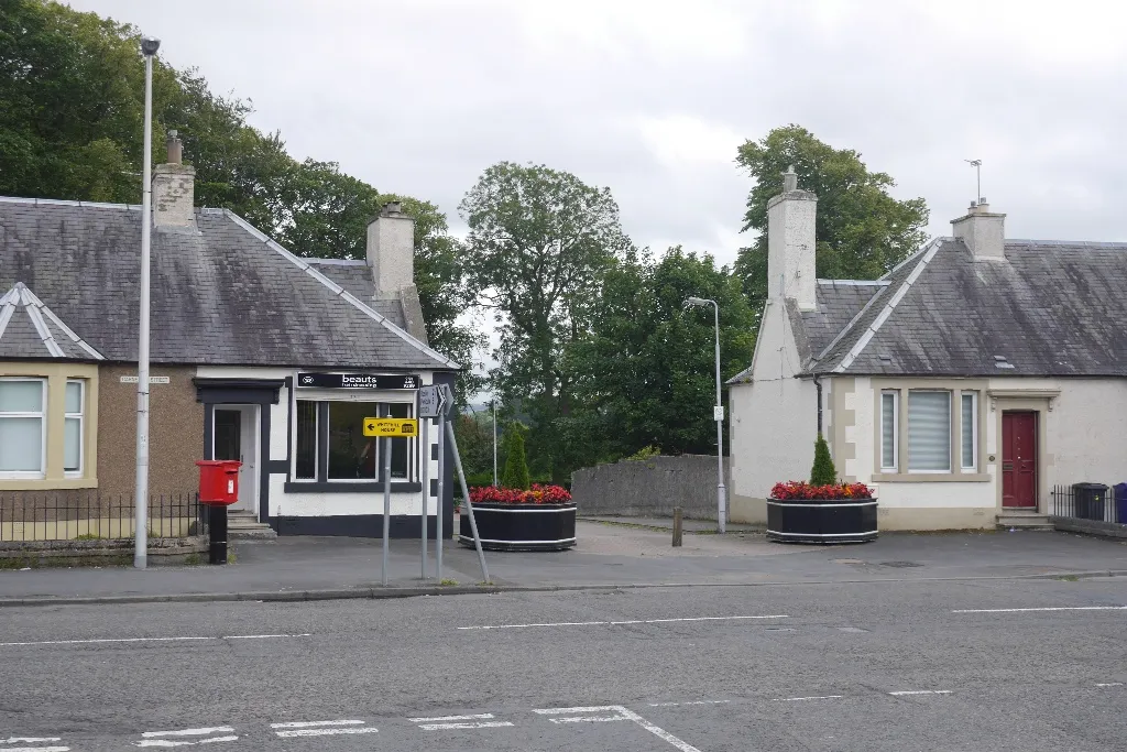
EddlestonVillageAt the 27-kilometer point, you will reach Eddleston. This quaint village is known for its historic buildings and charming atmosphere. Take a break and explore the local shops and cafes.
33 km
33 km
Black Meldon407 mPeakBlack Meldon, located at the 33-kilometer mark, is a popular spot for nature lovers. The area is home to a variety of wildlife and offers picturesque views of the hills.
44 km
44 km
Vane Law452 mPeakVane Law, at 44 kilometers, is a must-visit for cycling enthusiasts. As one of the highest points in the Pentland Hills, it offers panoramic views of the surrounding landscape.
45 km
45 km
DrumelzierVillageDrumelzier, at the 45-kilometer mark, is a small village with a rich history. Take a moment to explore the ruins of Drumelzier Castle and learn about its fascinating past.
60 km
60 km
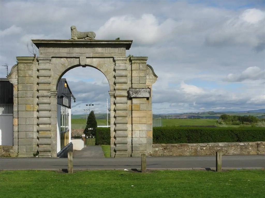
BiggarTownBiggar, at the 60-kilometer mark, is a charming town with a variety of historic landmarks. Visit the Biggar Museum and take a stroll through the picturesque main street.
77 km
77 km
Hare Law296 mPeakHare Law, at the 77-kilometer mark, offers stunning views of the surrounding hills. This is a great spot to pause and admire the beauty of the Pentland Hills.
99 km
99 km
Kaimes Hill259 mPeakKaimes Hill, at the 99-kilometer point, is a popular destination for cyclists. With its challenging gradient and panoramic views, it is a must-visit for any cycling enthusiast.
102 km
102 km
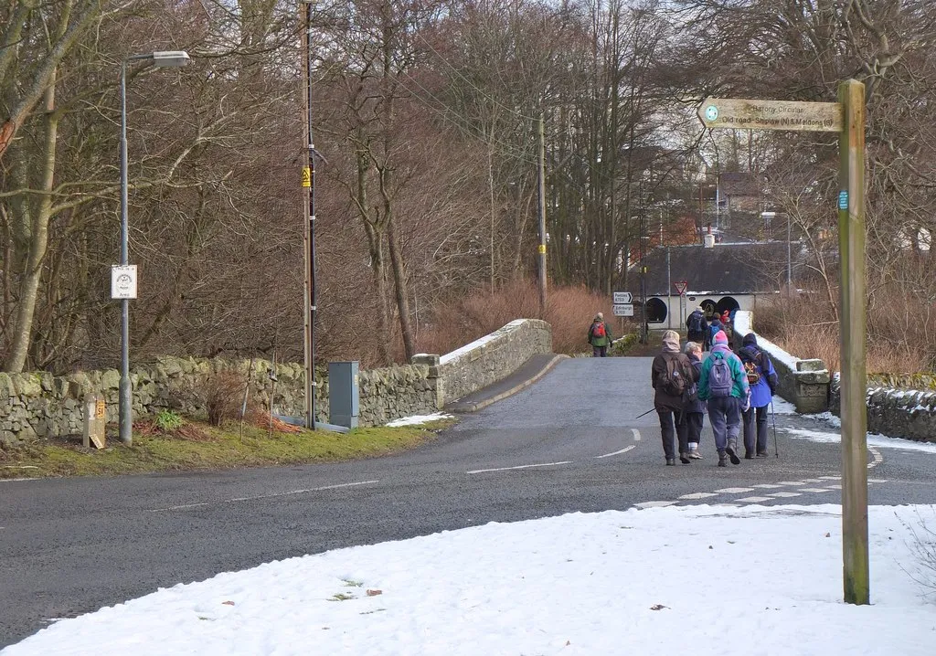
BalernoTownBalerno, at the 102-kilometer mark, is a welcoming village with a range of amenities. Stop by the local cafes for a well-deserved break before continuing your journey.
108 km
108 km
Finish: Locality centerColinton: Unleash your inner adventurer in scenic Eastern Scotland.
Cycling routes from Colinton:
Valley and Moorland Escapade Coast and Castle Adventure Colinton to Blinkbonny Loop Colinton to Bonaly Loop City Escape and Nature Trail Colinton to Colinton Gravel Adventure The Moorland Challenge Hills and Heritage Trek Colinton to Swanston Loop Colinton to Wester Craiglockhart Hill Loop The Pentland Hills Loop
Cycling routes nearby: