Soutra Hill and Borderland
A road cycling route starting from Gorebridge
Embark on a scenic road cycling adventure through Soutra Hill and the picturesque Scottish Borderland.
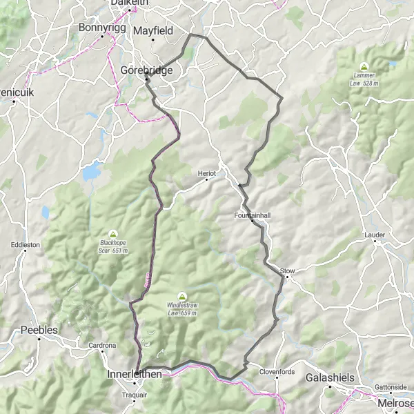
Map
Discover the charming landscapes of the Scottish Borderland on this road cycling route starting near Gorebridge. Along the way, you'll pass by idyllic villages, ancient sites, and breathtaking viewpoints. With a moderate difficulty level and stunning scenery, this route is perfect for cyclists looking for a mix of challenge and natural beauty.
road
83 km
1016 m
Tough
Route profile
Highlights on the route
0 km
0 km
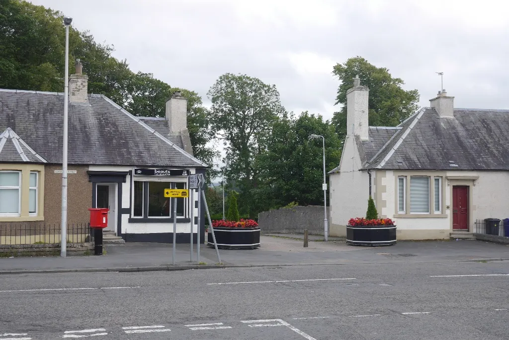
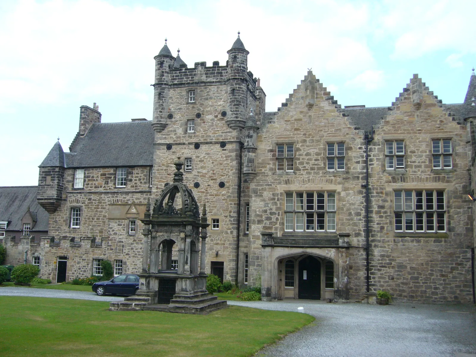
Start: Gorebridge City centerGorebridge: Cycling amidst the scenic beauty of Gorebridge
Gorebridge is a locality located in the Eastern Scotland region of the United Kingdom. When it comes to cycling, Gorebridge offers a mix of terrain suitable for road and gravel enthusiasts. The area features stretches of both flat roads and challenging ascents, providing diverse options for cyclists. Gorebridge itself is a small town with a friendly atmosphere and local amenities. In the vicinity, cyclists can explore the picturesque landscapes of the Tyne Valley or challenge themselves with the famous climb of Coalheugh Lane. With its varied terrain and scenic surroundings, Gorebridge is a favorable destination for cyclists.15 km
15 km
Soutra Hill369 mPeakConquer the climb up Soutra Hill and enjoy panoramic views of the surrounding countryside.
33 km
33 km
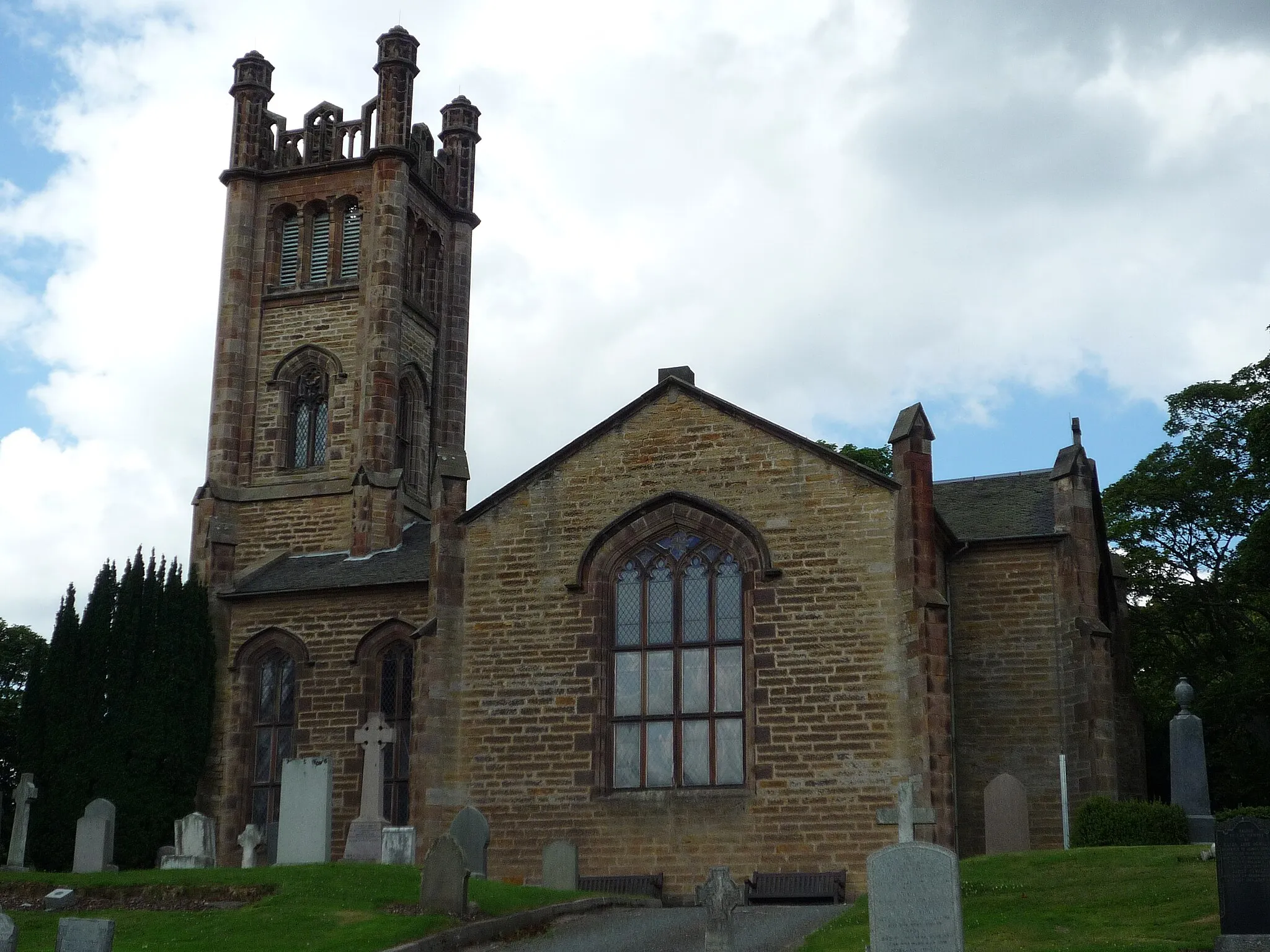
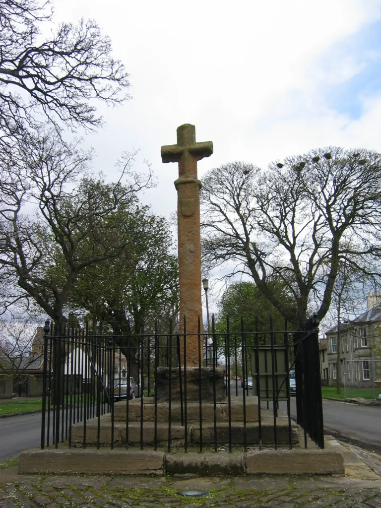
StowVillageExplore the charming village of Stow and soak in the tranquil atmosphere.
39 km
39 km
Bowshank Hill379 mPeakTake in the stunning vistas from Bowshank Hill, offering sweeping views of the Borderland.
50 km
50 km
WalkerburnVillageCycle through the picturesque village of Walkerburn and enjoy its peaceful ambiance by the river.
61 km
61 km
Hillside Knowe335 mPeakAdmire the scenic beauty of Hillside Knowe, a hilltop viewpoint with unobstructed panoramas.
68 km
68 km
Longshaw427 mPeakChallenge yourself with the ascent of Longshaw and revel in the sense of achievement at the top.
79 km
79 km
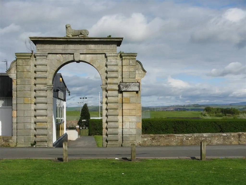
North MiddletonVillageDiscover the history and culture of North Middleton, a quintessential Scottish village.
83 km
83 km
Finish: Gorebridge City centerGorebridge: Cycling amidst the scenic beauty of Gorebridge
Cycling routes nearby: