Redhouse Castle Loop
A road cycling route starting from Gullane
Experience the charm of Redhouse Castle on this road cycling route.
Map
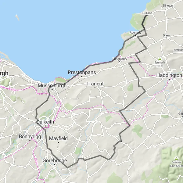
Take on the challenge of this road cycling route, which includes picturesque views and interesting highlights along the way. With a distance of 75km and an ascent of 520m, this route is suitable for well-trained amateurs. The highlight of the route is the historic Redhouse Castle, located 8km from the start. Explore the castle grounds and enjoy the stunning views. Other highlights include Pencaitland, Harle Rigging, Gorebridge, and finishing the route in Gullane.
road
75 km
520 m
Tough
Route profile
Highlights on the route
0 km
0 km
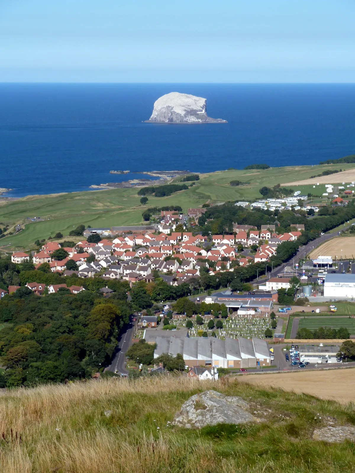
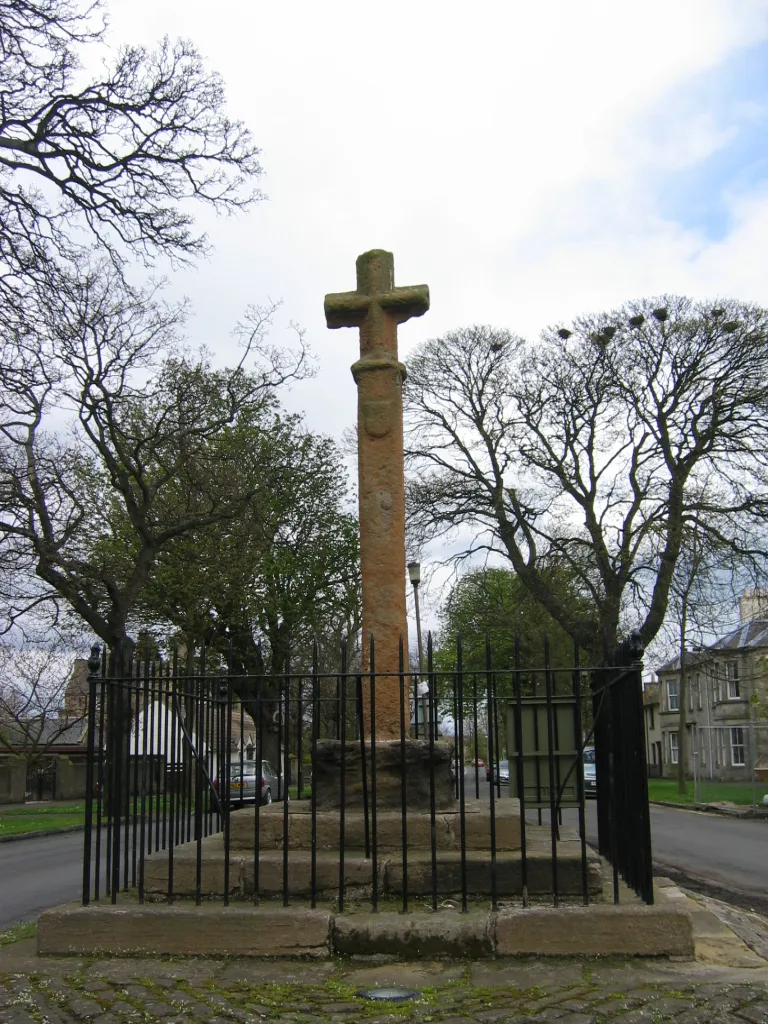
Start: Gullane Village centerGullane: Explore Gullane: Scenic coastal routes and challenging climbs in Eastern Scotland.
Gullane is a locality located in Eastern Scotland, United Kingdom. Gullane is a popular destination for cyclists due to its scenic coastal and countryside routes. Road cyclists can enjoy well-maintained roads with varying terrain, including some moderate climbs. Gravel cyclists can explore off-road trails and paths through the nearby Gullane Hill and Aberlady Bay nature reserve. Spartleton Hill, located nearby, is a well-known climb among local cyclists. Gullane offers a range of cycling opportunities for all skill levels, taking riders through beautiful landscapes and coastal areas.8 km
8 km
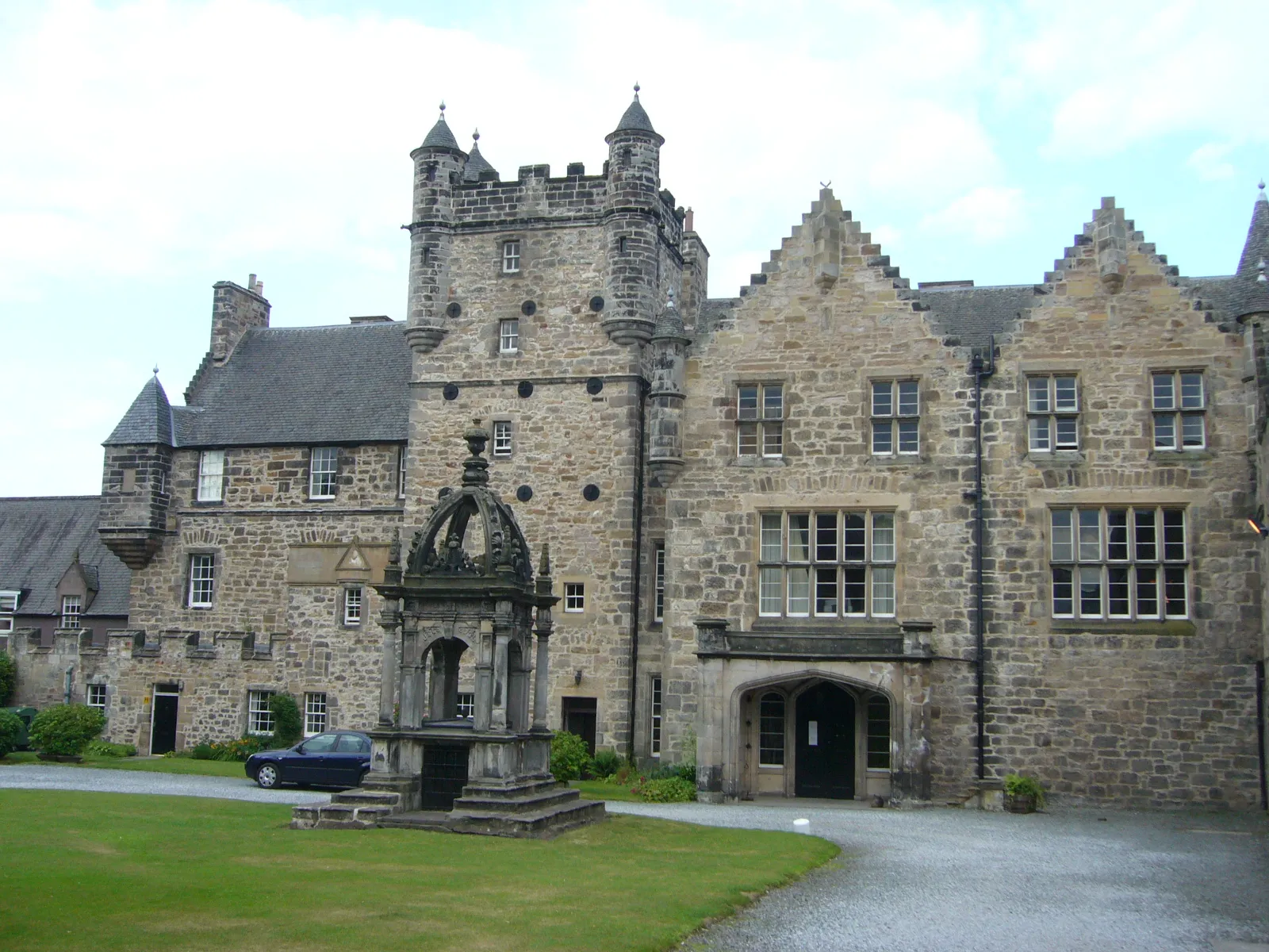
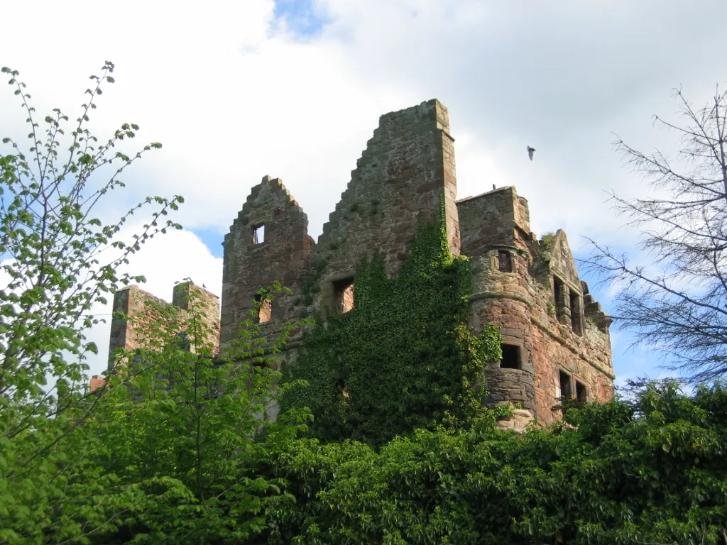
Redhouse CastleCastleRedhouse Castle, located 8km from the start, is a historic landmark with beautiful castle grounds and stunning views.
21 km
21 km
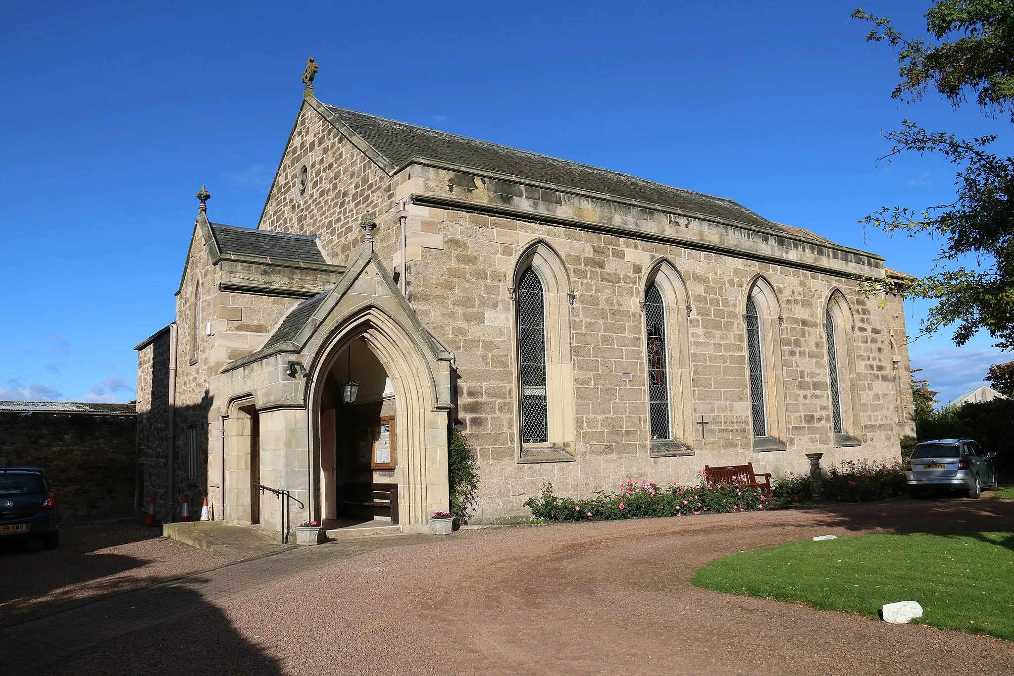
PencaitlandVillagePencaitland is a charming village along the route, offering quaint streets and picturesque views.
35 km
35 km
Harle Rigging269 mPeakHarle Rigging is worth a brief stop to enjoy the scenic beauty of the area.
41 km
41 km
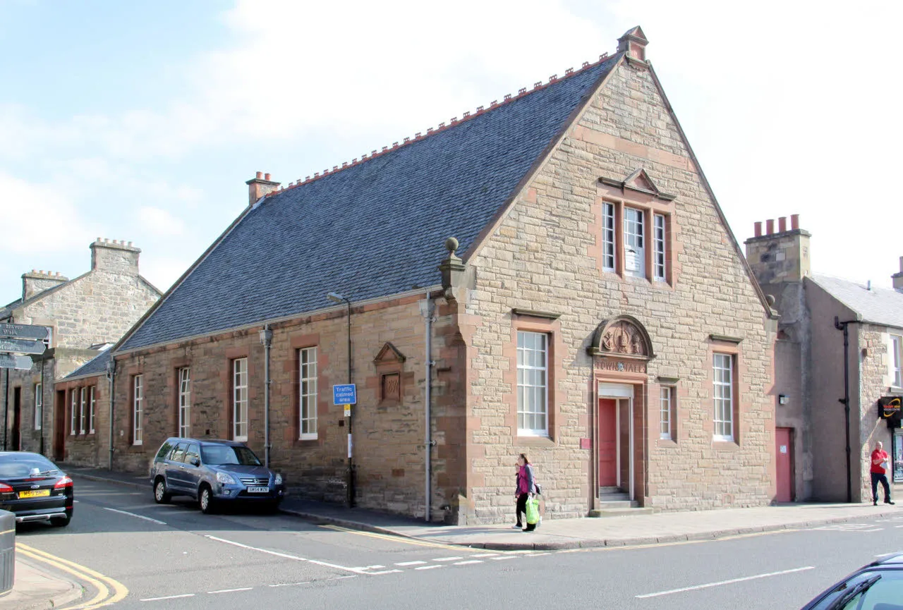
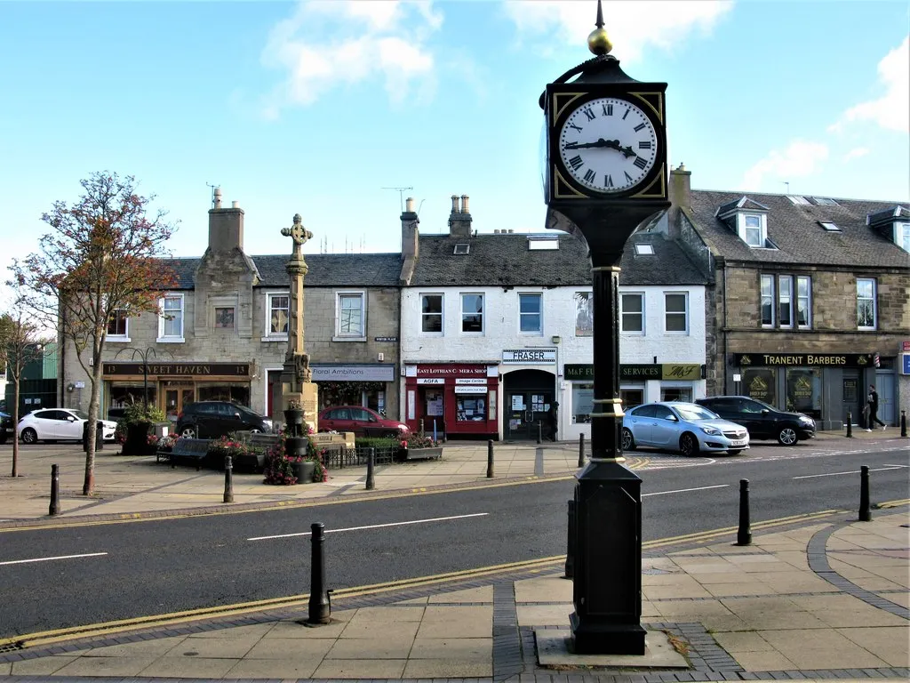
GorebridgeTownGorebridge is a small town with a rich history, stop by for a glimpse into the past.
75 km
75 km
GullaneVillageGullane is the final destination of the route, known for its beautiful beaches and golf courses.
75 km
75 km
Finish: Gullane Village centerGullane: Explore Gullane: Scenic coastal routes and challenging climbs in Eastern Scotland.
Cycling routes nearby: