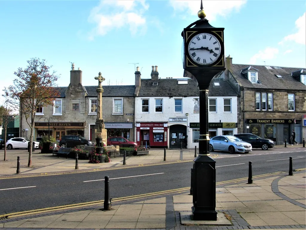
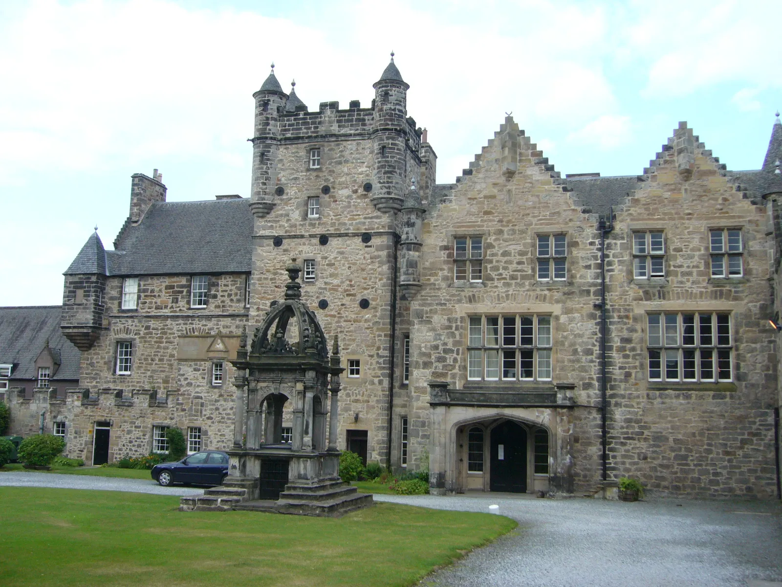
Exploring Prestonpan's historical sites and cycling routes
Cycling routes from Prestonpans
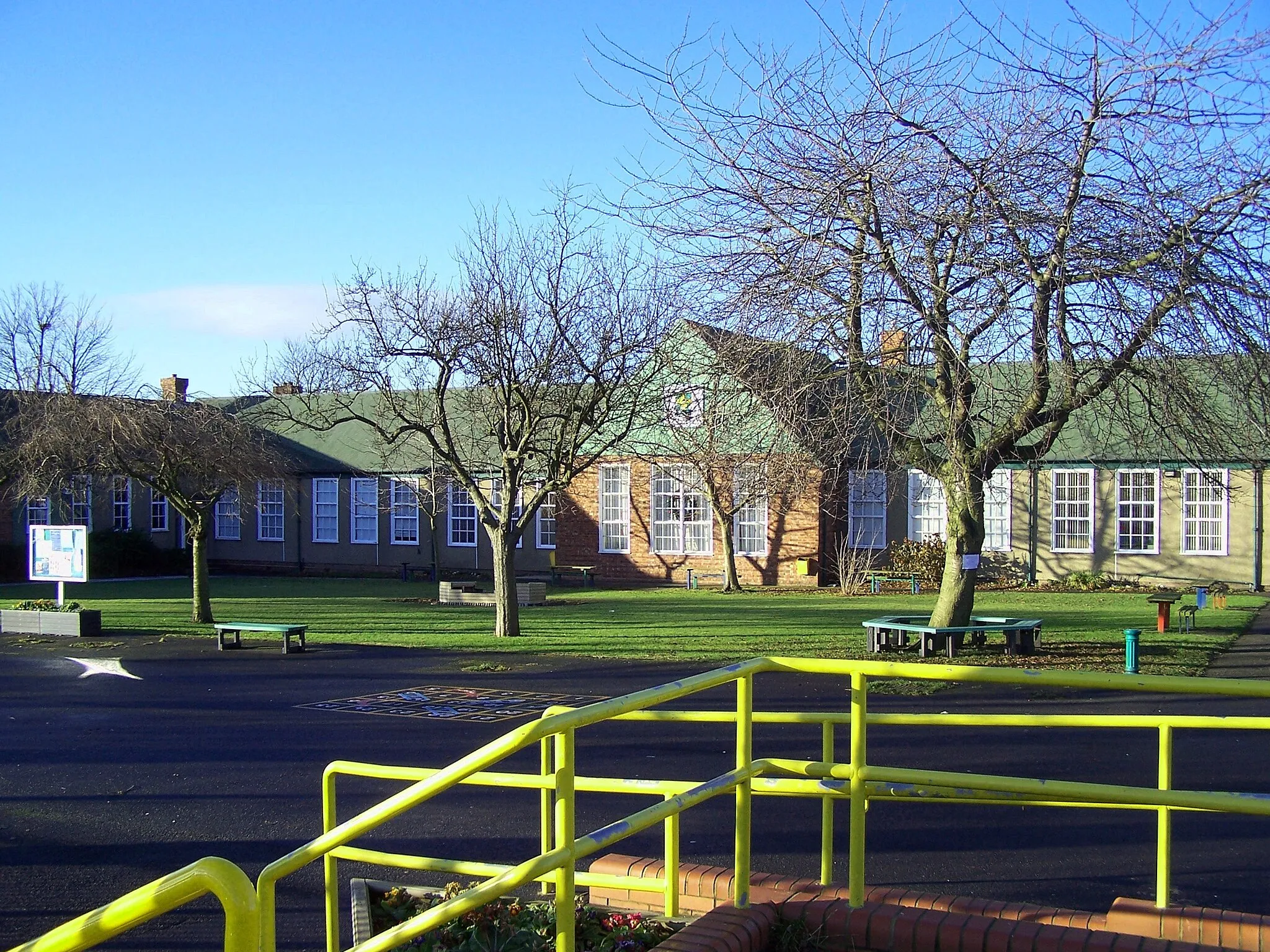
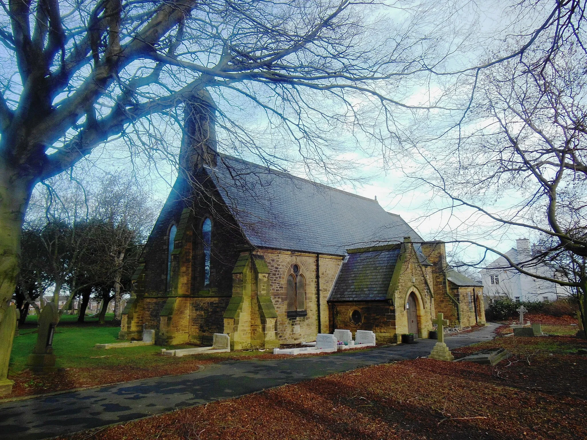
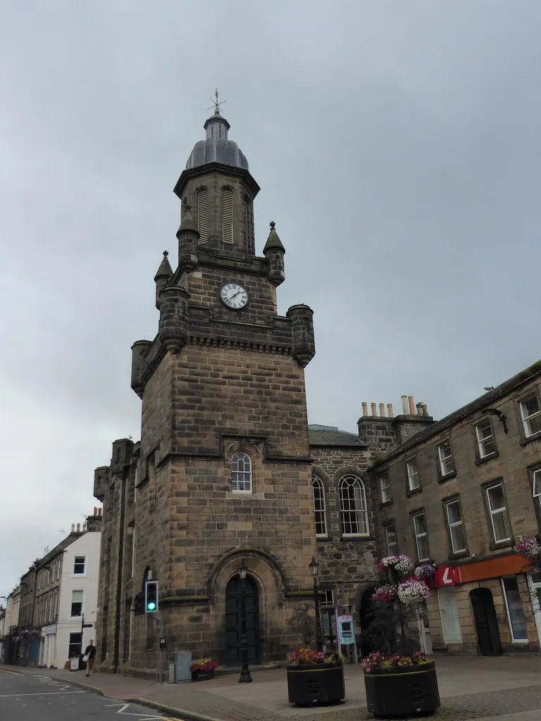
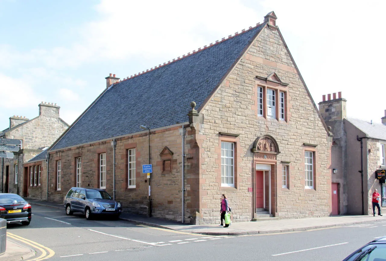
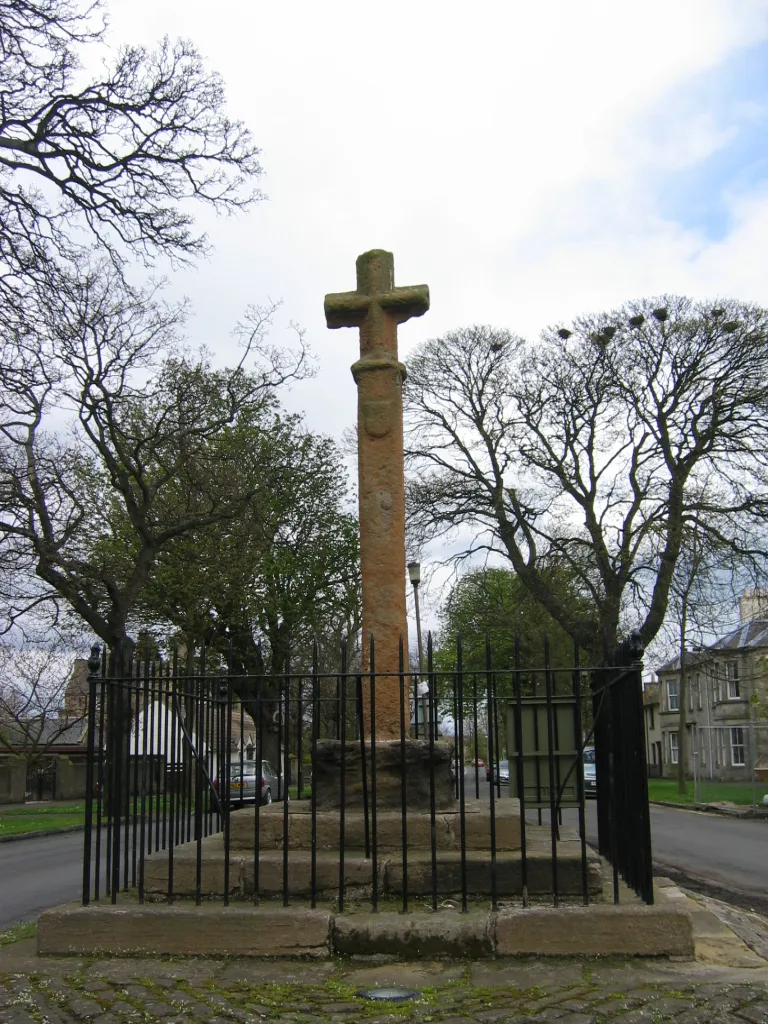
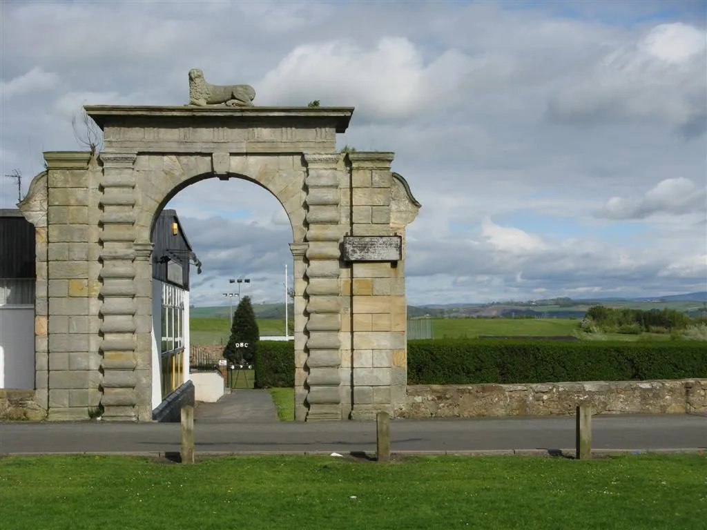
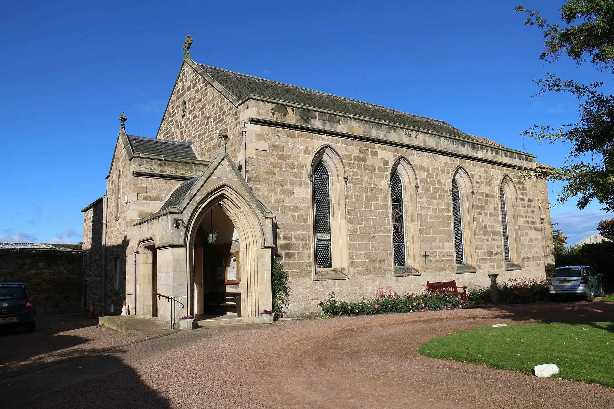
Prestonpans, located in Eastern Scotland, United Kingdom, offers a mix of coastal and countryside cycling routes. The area is known for its rich history, with landmarks such as Battle of Prestonpans site attracting tourists. Cyclists can enjoy riding along the scenic coastline and exploring the surrounding countryside on quiet, traffic-free roads. While there may not be any famous cycling-related spots or legendary climbs in the immediate vicinity, cyclists can venture out to nearby regions such as East Lothian or the Pentland Hills for more challenging rides. With its historical significance and beautiful cycling routes, Prestonpans is a great destination for road and gravel cyclists.
Explore the beautiful coastal towns and iconic Forth Bridges
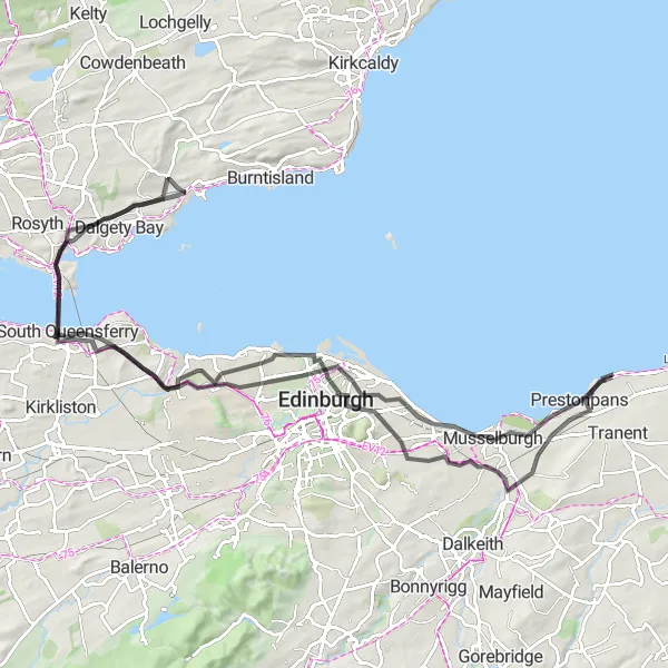
The Fisherrow Loop takes you on a scenic journey along the coast, passing through picturesque towns and offering spectacular views of the iconic Forth Bridges. With a distance of 96km and an ascent of 700m, this road cycling route is suitable for well-trained amateurs looking for a challenge. The highlight of the route is the Forth Bridges, which provide a stunning backdrop as you cycle across the wide estuary. Other highlights include Fisherrow, a charming coastal town, and Calton Hill, offering panoramic views of Edinburgh.
Gravel Adventure Loop
Conquer challenging gravel roads in the Scottish countryside
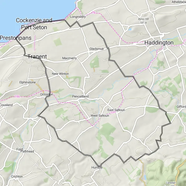
Get ready for an adrenaline-pumping gravel adventure through the scenic Scottish countryside near Prestonpans. This challenging round-trip route is designed for experienced gravel riders and offers breathtaking views, thrilling descents, and challenging climbs. Explore the rugged beauty of Haddington, conquer the infamous Hog Hill, and soak in the peaceful atmosphere of East Saltoun and Ormiston.
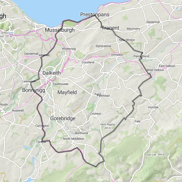
Enjoy a scenic ride through rolling hills and charming villages in East Lothian
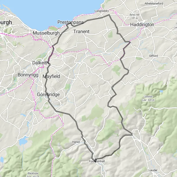
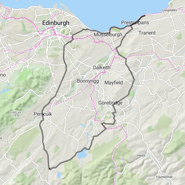
This road cycling route takes you on a picturesque journey from Prestonpans to Bonnyrigg, covering a distance of 61 kilometers with an ascent of 529 meters. Highlights along the way include the 1745 Battlefield Viewpoint, where you can learn about the historic battles that shaped Scotland's past. Other notable attractions include the village of Pencaitland, known for its traditional Scottish charm, and the stunning Tynehead reservoir. The route also offers breathtaking views from Hurcheon Hill and Carrington. After an exciting ride, return to Prestonpans and explore its coastal beauty and vibrant community.
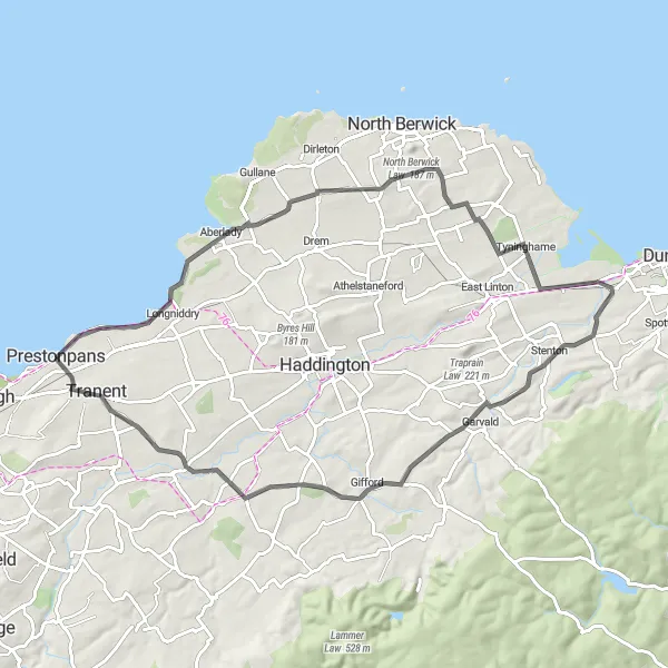
Discover the beauty of East Lothian on this captivating road cycling route
Uncover the charms of East Lothian on this 70-kilometer road cycling route from Prestonpans. Marvel at the natural beauty as you cycle through picturesque landscapes and historic villages. Highlights include the idyllic village of Kingston and its captivating surroundings, the quaint town of Stenton renowned for its preserved traditional architecture, and the charming village of Gifford with its scenic trails. The 1745 Battlefield Viewpoint also offers a fascinating insight into Scotland's historic battles. Conclude your journey back in Prestonpans, where you can soak in the coastal atmosphere and immerse yourself in the town's rich heritage.
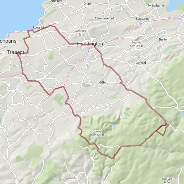
Embark on a challenging road cycling adventure with historical highlights
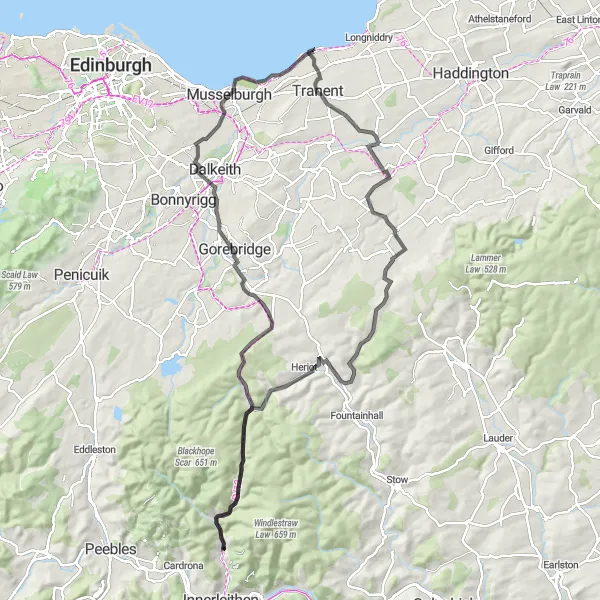
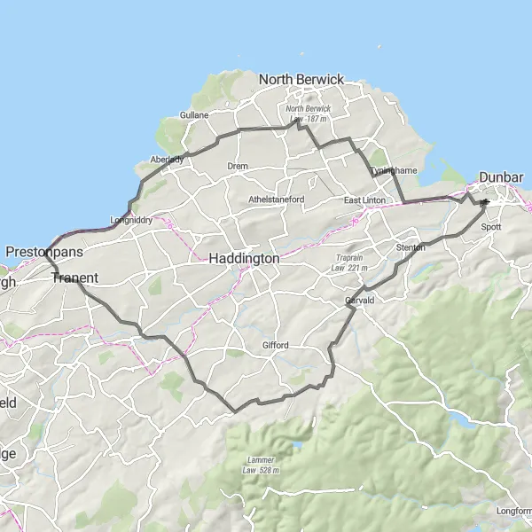
The Soutra Exploration is a challenging road cycling route with an ascent of 1107m over a distance of 101km. Suitable for well-trained amateurs, this route takes you through stunning landscapes and historical sites. One of the highlights is the Soutra Aisle, the remains of a medieval hospital that was once the largest in Scotland. The route also offers breathtaking views from viewpoints like 1745 Battlefield Viewpoint and Longshaw. With a difficulty rating of 5 and an epicness score of 4, this route is perfect for cyclists seeking both a physical and cultural experience.
Prestonpans Loop
Discover the historic Prestonpans battlefield and stunning views of Southeast Scotland
Experience the rich history and natural beauty of Eastern Scotland on the Prestonpans Loop. This road cycling route covers a distance of 81 kilometers with a total ascent of 779 meters. The highlight of this route is the 1745 Battlefield Viewpoint, where you can learn about the legendary battle that took place during the Jacobite Rising. Other highlights include the picturesque villages of East Saltoun, Soutra Hill, and Gorebridge. The route ends with a return to Prestonpans, where you can explore the charming town and its surrounding attractions.
Battlefield Viewpoint Loop
Explore the historical battlefield of 1745
Embark on a scenic cycling journey through the Eastern Scottish countryside, with a focus on the historical 1745 battlefield. This round-trip cycling route near Prestonpans is a moderately challenging ride that showcases both natural beauty and cultural heritage. Experience the thrill of riding through picturesque towns and rolling hills while discovering fascinating historical landmarks.
Gravel Adventure to Gorebridge
Embark on an exciting gravel adventure through the rugged landscapes of Southeast Scotland
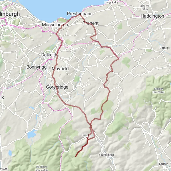
Immerse yourself in nature and enjoy an off-road adventure on this gravel cycling route from Prestonpans to Gorebridge. With a distance of 73 kilometers and an ascent of 825 meters, this route offers a thrilling ride for gravel enthusiasts. Highlights include the panoramic views from the 1745 Battlefield Viewpoint, the tranquil village of Fala, and the ancient Halltree Rings. The route also takes you through the town of Gorebridge, known for its picturesque setting and charming architecture. Conclude your journey back in Prestonpans, where you can unwind by the coast and reflect on your thrilling gravel adventure.
Experience a thrilling coastal cycling adventure
Embark on an exciting coastal cycling adventure along the Eastern Scottish coast near Prestonpans. This round-trip route takes you through charming seaside towns, ancient castles, and breathtaking coastline views. The route offers a moderate level of difficulty, perfect for well-trained amateur cyclists looking for a thrilling ride with plenty of stunning scenery to enjoy.
Cockenzie Coastal Ride
Experience the natural beauty of the Scottish coastline on this scenic road cycling route
Embark on a picturesque coastal ride from Prestonpans to Cockenzie and Port Seton. This road cycling route stretches for 79 kilometers and features an ascent of 637 meters. Enjoy the stunning coastal scenery as you cycle past some of Southeast Scotland's most charming villages, including North Middleton and Duddingston. Highlights of the route include the iconic Dunsapie Crag, known for its geological significance, and the historic Preston Tower. Conclude your journey back in Prestonpans, where you can relax and savor the coastal beauty of this charming town.
Cycling routes nearby:


Nearby regions: