Scenic Ride to Bonnyrigg
A road cycling route starting from Prestonpans
Enjoy a scenic ride through rolling hills and charming villages in East Lothian
Map
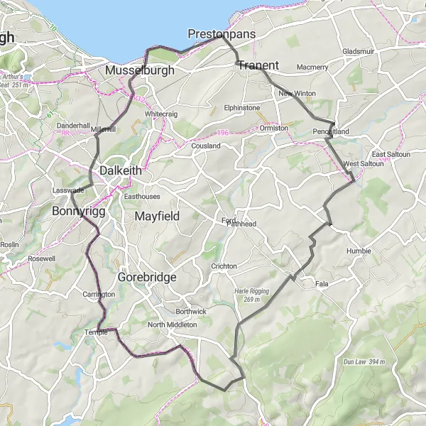
This road cycling route takes you on a picturesque journey from Prestonpans to Bonnyrigg, covering a distance of 61 kilometers with an ascent of 529 meters. Highlights along the way include the 1745 Battlefield Viewpoint, where you can learn about the historic battles that shaped Scotland's past. Other notable attractions include the village of Pencaitland, known for its traditional Scottish charm, and the stunning Tynehead reservoir. The route also offers breathtaking views from Hurcheon Hill and Carrington. After an exciting ride, return to Prestonpans and explore its coastal beauty and vibrant community.
road
61 km
529 m
Tough
Route profile
Highlights on the route
0 km
0 km
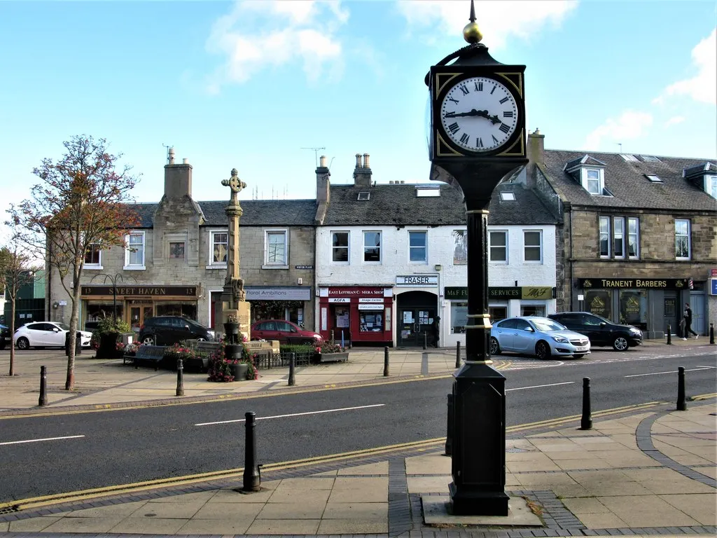
Start: Prestonpans City centerPrestonpans: Exploring Prestonpan's historical sites and cycling routes
Prestonpans, located in Eastern Scotland, United Kingdom, offers a mix of coastal and countryside cycling routes. The area is known for its rich history, with landmarks such as Battle of Prestonpans site attracting tourists. Cyclists can enjoy riding along the scenic coastline and exploring the surrounding countryside on quiet, traffic-free roads. While there may not be any famous cycling-related spots or legendary climbs in the immediate vicinity, cyclists can venture out to nearby regions such as East Lothian or the Pentland Hills for more challenging rides. With its historical significance and beautiful cycling routes, Prestonpans is a great destination for road and gravel cyclists.1 km
1 km
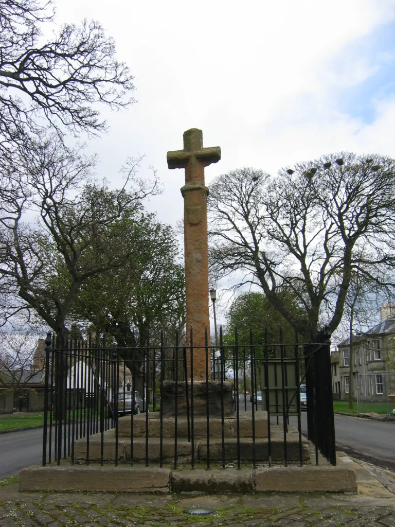
1745 Battlefield ViewpointViewpointThe 1745 Battlefield Viewpoint offers panoramic views of the battlefield site and provides insights into the Jacobite Rising.
9 km
9 km
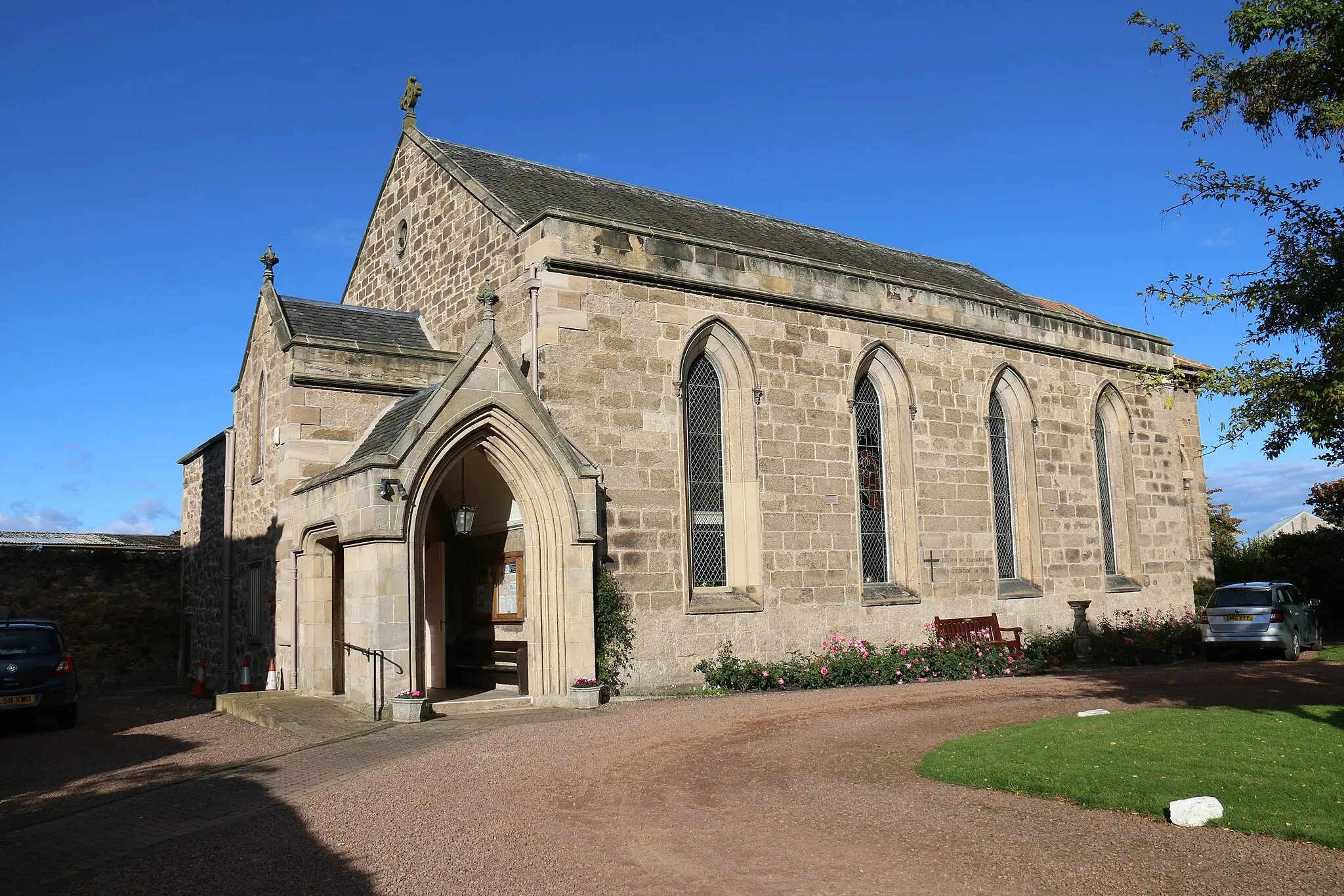
PencaitlandVillagePencaitland is a picturesque village with quaint cottages and friendly locals.
24 km
24 km
TyneheadHamletTynehead reservoir is ideal for a peaceful break and offers stunning views over the surrounding countryside.
33 km
33 km
Hurcheon Hill291 mPeakAscend Hurcheon Hill and soak in the breathtaking vistas of East Lothian's rolling hills and green landscapes.
39 km
39 km
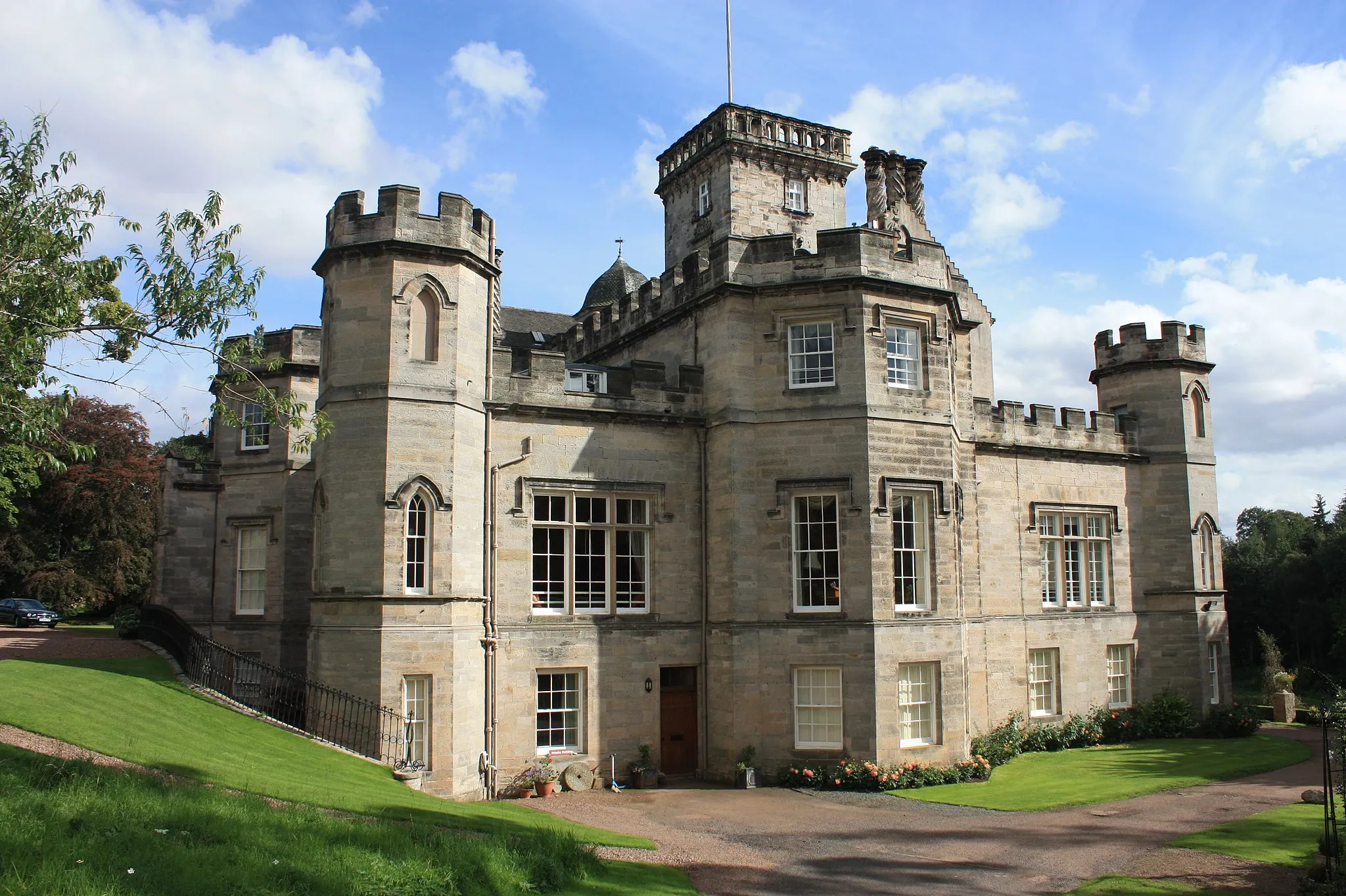
CarringtonVillageCarrington offers sweeping views from its elevated location, allowing you to admire the beauty of the countryside.
45 km
45 km
BonnyriggTown61 km
61 km
PrestonpansTownFinish the route in Prestonpans, where you can relax by the coast and explore its rich maritime history.
61 km
61 km
Finish: Prestonpans City centerPrestonpans: Exploring Prestonpan's historical sites and cycling routes
Cycling routes nearby: