Eastern Scotland's Fantastic Cycling Destination
Cycling routes from Tranent
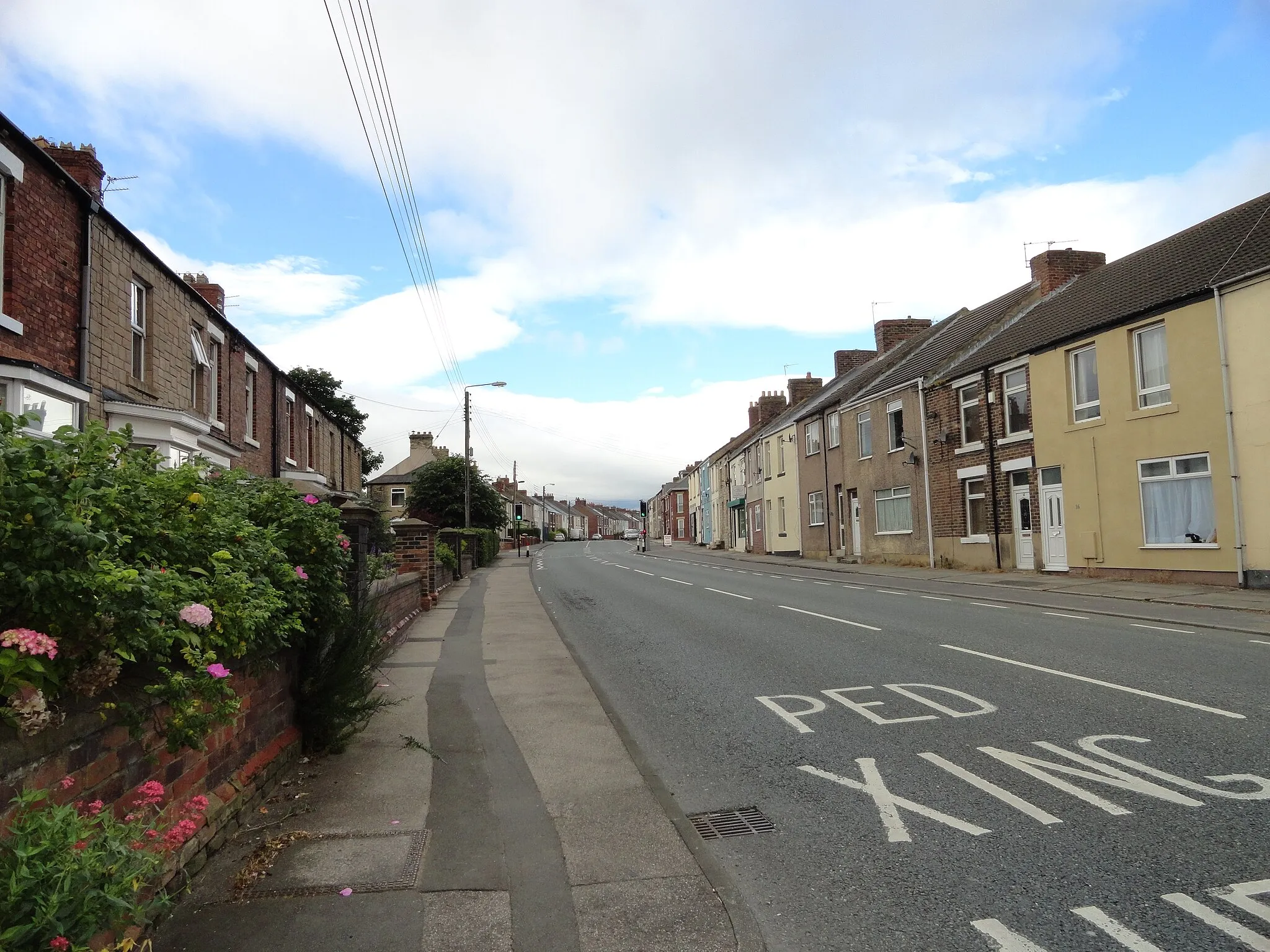
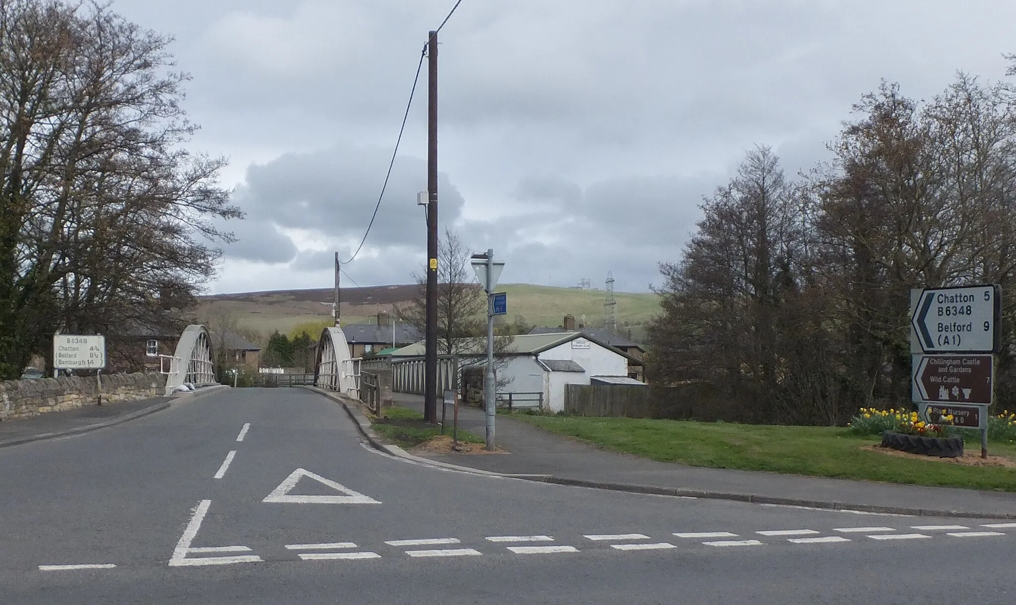
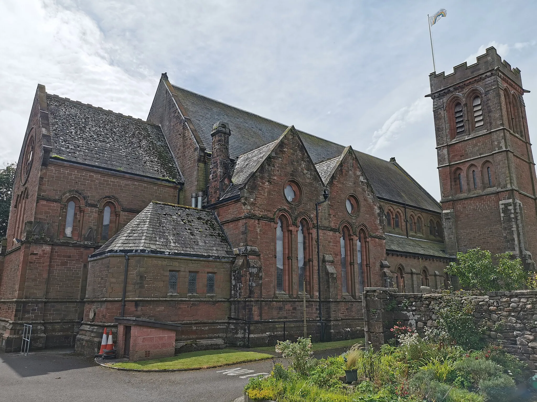
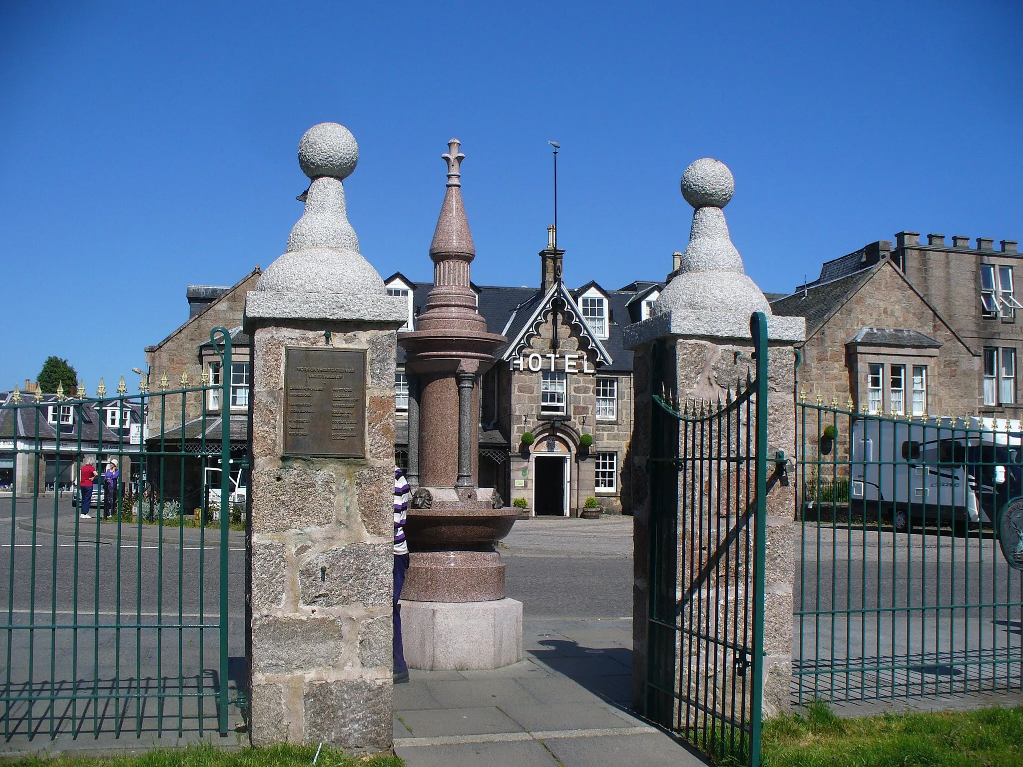
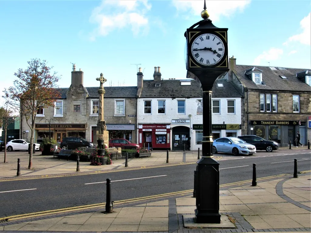
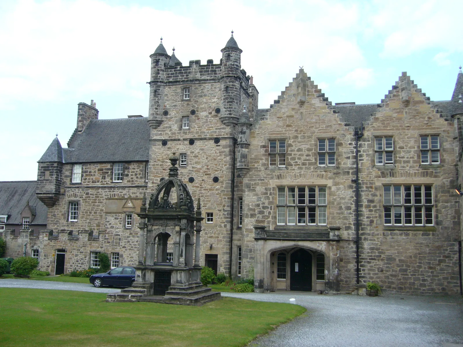
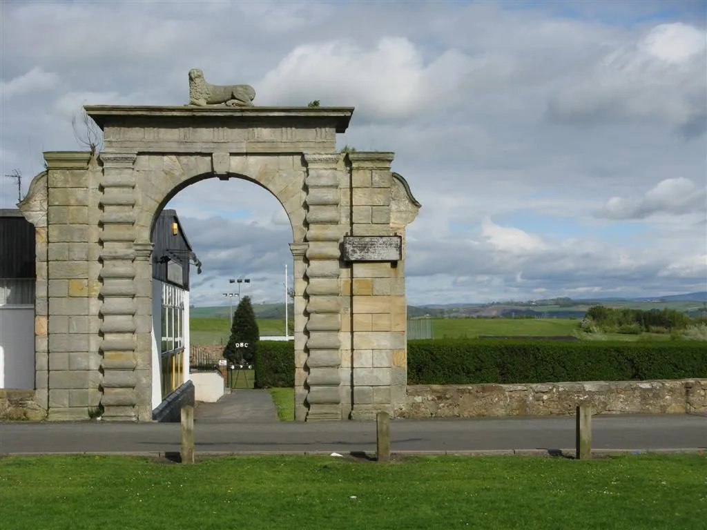
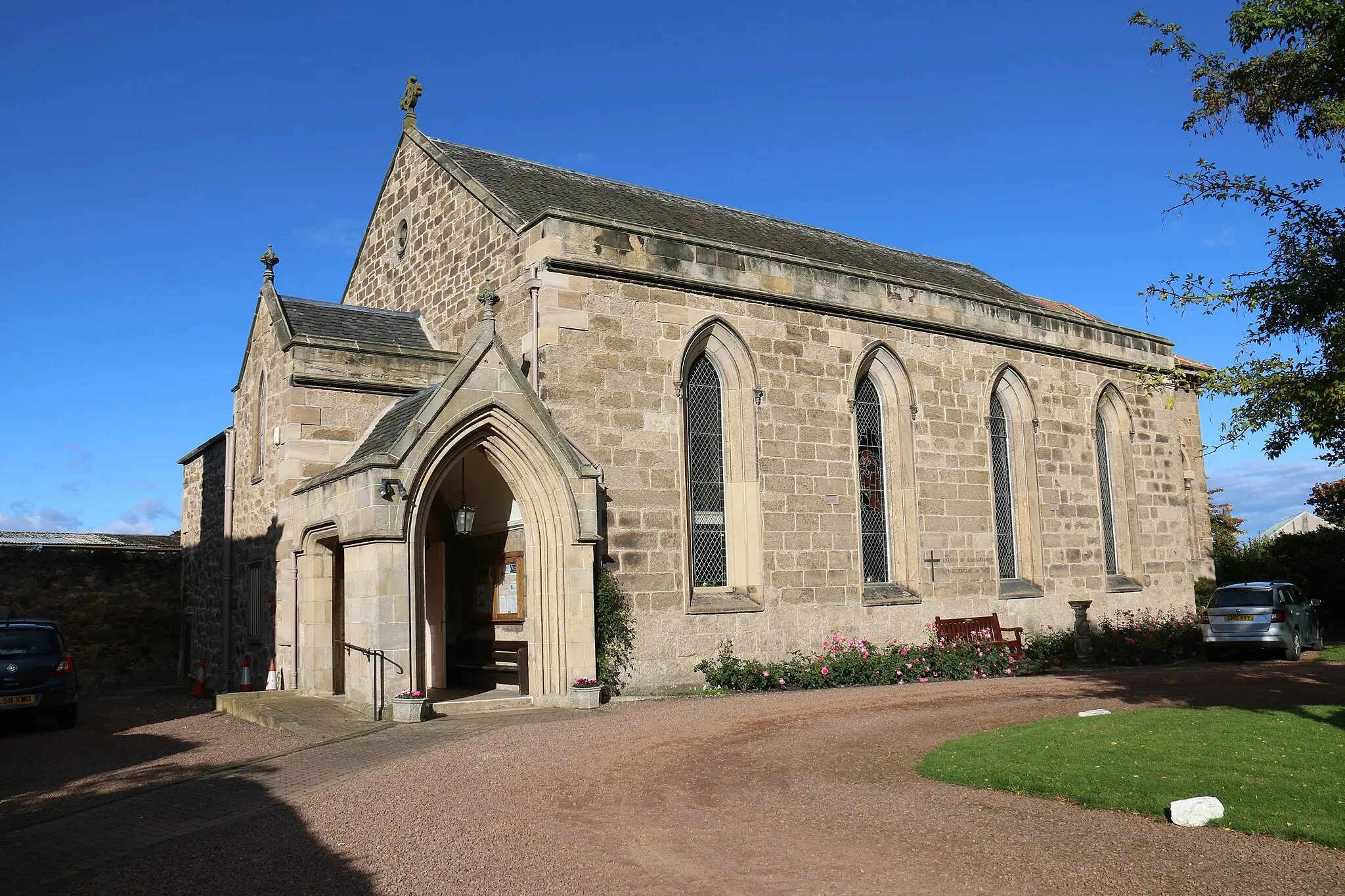
Tranent, located in Eastern Scotland, United Kingdom, offers a variety of cycling opportunities for road and gravel enthusiasts. The locality features scenic routes that take cyclists through picturesque villages, forests, and rolling hills. Cyclists can enjoy the vibrant cycling culture in the region and take part in various cycling events and races. One well-known climb in the area is the famous Arthur's Seat, offering a challenging ascent with stunning views at the top. With its cycling-friendly infrastructure and beautiful landscapes, Tranent is a must-visit destination for cyclists exploring Eastern Scotland.
The East Lothian Challenge
A thrilling exploration of East Lothian's scenic beauty and historical landmarks.
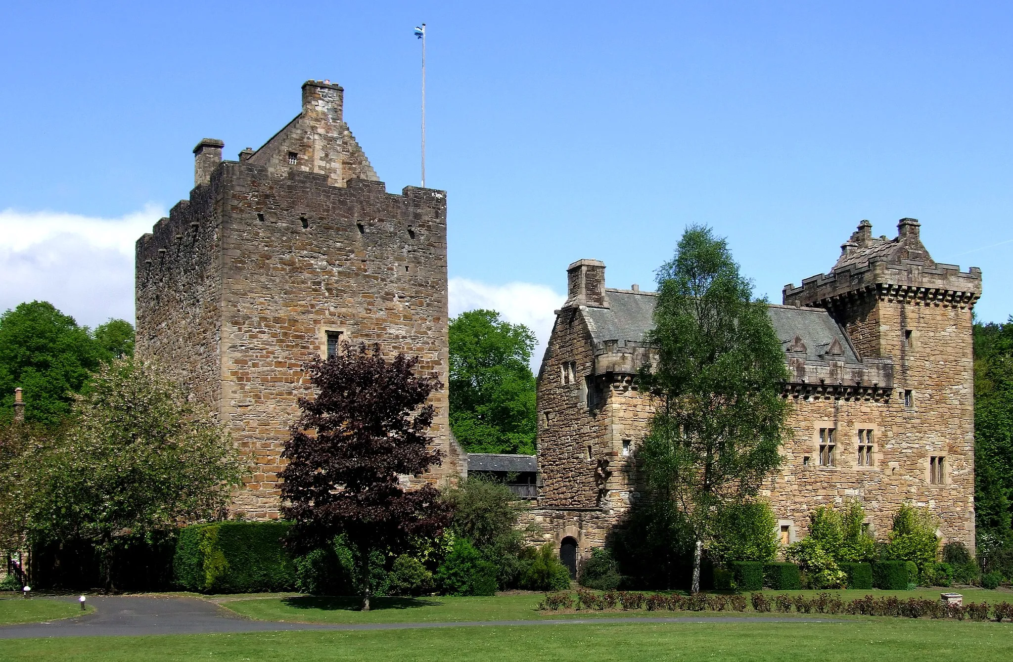
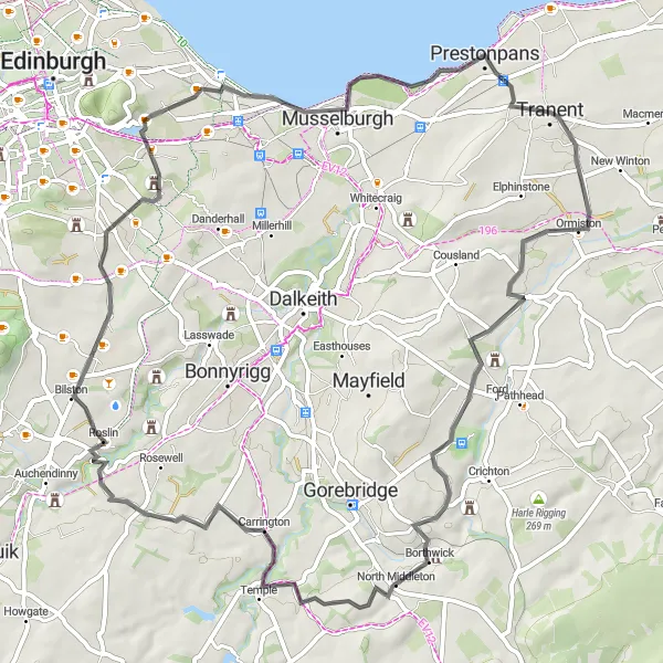
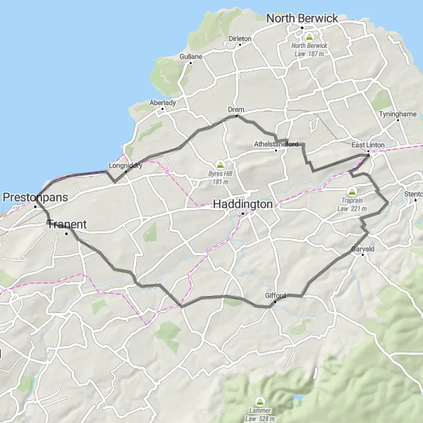
Embark on a 61 km road cycling adventure through stunning landscapes and take in the rich history of East Lothian. With a total ascent of 569 meters, this route offers a moderate challenge for well-trained amateurs. The East Lothian Challenge starts in Tranent and passes through picturesque towns and villages such as Ormiston, Halk Law, Roslin, and Dunsapie Crag. Enjoy breathtaking views from the 1745 Battlefield Viewpoint, Duddingston, and Prestonpans along the way.

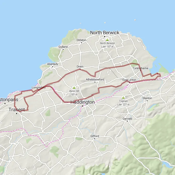
Traverse ancient battlefields and rolling hills on this gravel loop
This gravel loop from Tranent to Elphinstone is a scenic ride through historic battlefields and rolling hills. With a moderate difficulty level, it's suitable for well-trained amateur cyclists. Along the route, you'll encounter stunning views and get a taste of the region's rich history.
Discover tranquil coastal landscapes and magnificent castles on this 69 km road cycling route.
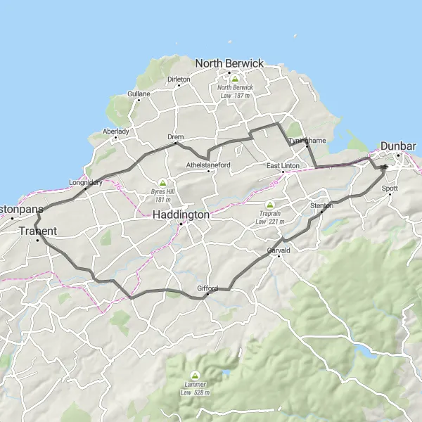
Immerse yourself in the beauty of East Lothian's coastline and explore its impressive castles on this moderately challenging road cycling route. Starting near Tranent, this 69 km route features a total ascent of 479 meters. Highlights include the stately Redhouse Castle, the serene Tyninghame Estate, and the charming village of Gifford. Enjoy breathtaking views from the 1745 Battlefield Viewpoint, East Saltoun, and New Winton along the way.
Discover hidden castles and charming seaside villages on this gravel loop
This gravel loop from Tranent to Tyninghame provides a delightful mix of countryside scenery and coastal views. With a moderate difficulty level, it's suitable for well-trained amateur cyclists. As you pedal along, you'll have the chance to explore hidden castles, picturesque villages, and enjoy refreshing sea breezes.

Scenic gravel loop through Scottish countryside
This gravel loop from Tranent to Ormiston takes you off the beaten path, showcasing the rugged beauty of Eastern Scotland. With a challenging difficulty level, it's recommended for experienced gravel cyclists. As you navigate the gravel roads, you'll encounter stunning scenery and a few thrilling descents.
Explore quaint villages and rolling hills in Eastern Scotland
This loop from Tranent to Haddington is a delightful ride through charming villages and picturesque countryside. With a moderate difficulty level, it's suitable for well-trained amateur cyclists. As you pedal along, you'll be treated to beautiful views and a few challenging climbs along the way.
Castles and Countryside
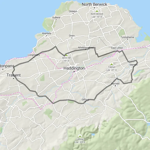
A cycle through peaceful countryside and a voyage through East Lothian's castle history.
Experience the beauty of East Lothian's countryside and indulge in its rich castle history on this 60 km road cycling route. With a total ascent of 570 meters, this route provides a moderate challenge for well-trained amateurs. Explore fascinating landmarks such as Redhouse Castle and picturesque towns like Stenton and Gifford. Capture breathtaking views from the 1745 Battlefield Viewpoint, East Saltoun, and New Winton.
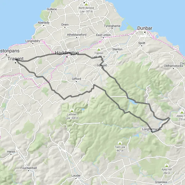
Embark on a challenging ride featuring majestic castles and breathtaking landscapes.
Prepare for an ultimate cycling adventure through East Lothian's enchanting landscapes and encounter stunning historical landmarks along the way. This 88 km road cycling route offers a challenging ascent of 1138 meters, catering to well-trained amateurs seeking an adrenaline-filled experience. Immerse yourself in the medieval history of Haddington, marvel at the majestic Gamelshiel Castle, and tackle the exhilarating climb up Dog Law. Capture awe-inspiring views from Wrunk Law, Newlands Hill, Yester Castle, East Saltoun, and Buxley Farm Cottages.
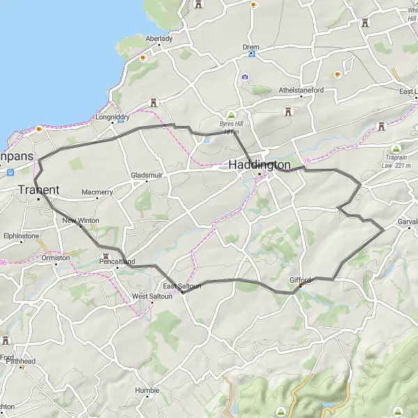
Tranent to Gifford loop
Scenic loop through picturesque Scottish countryside
This route takes you on a scenic loop from Tranent to Gifford and back, showcasing the beautiful Scottish countryside. With a moderate difficulty level, this route is perfect for well-trained amateur cyclists. You'll enjoy a challenging ascent and plenty of epic views along the way.
Venture off the beaten path and explore picturesque gravel trails in East Lothian.
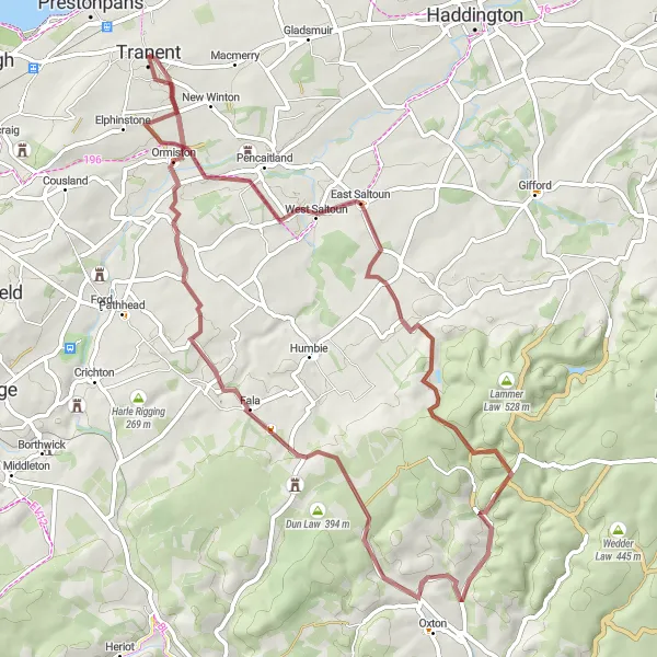
For those seeking an off-road adventure, this 58 km gravel cycling route offers a thrilling journey through East Lothian. With a challenging ascent of 828 meters, this route is suitable for experienced cyclists seeking an exhilarating ride. Explore the scenic beauty of East Saltoun and conquer notable gravel sections such as Log Hill and Soutra Hill. Take in breathtaking views from Ormiston and Hog Hill to create unforgettable memories.
Cycling routes nearby:


Nearby regions: