Prestonpans Loop
A road cycling route starting from Prestonpans
Discover the historic Prestonpans battlefield and stunning views of Southeast Scotland
Map
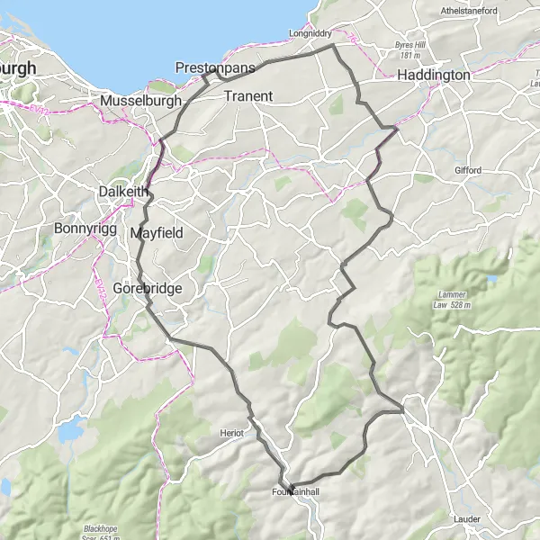
Experience the rich history and natural beauty of Eastern Scotland on the Prestonpans Loop. This road cycling route covers a distance of 81 kilometers with a total ascent of 779 meters. The highlight of this route is the 1745 Battlefield Viewpoint, where you can learn about the legendary battle that took place during the Jacobite Rising. Other highlights include the picturesque villages of East Saltoun, Soutra Hill, and Gorebridge. The route ends with a return to Prestonpans, where you can explore the charming town and its surrounding attractions.
road
81 km
779 m
Tough
Route profile
Highlights on the route
0 km
0 km
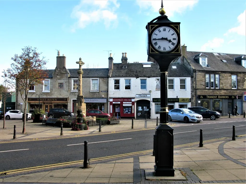
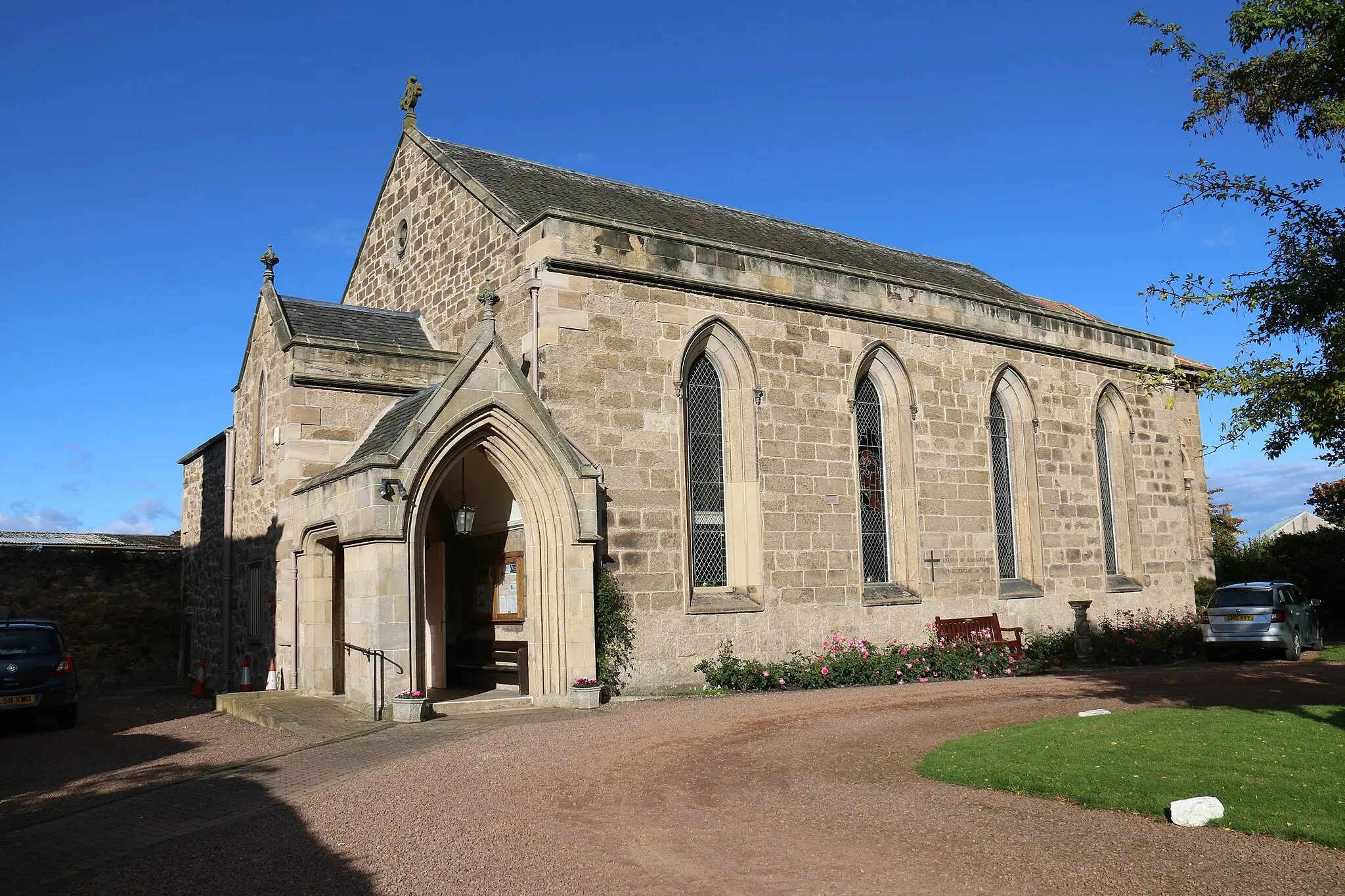
Start: Prestonpans City centerPrestonpans: Exploring Prestonpan's historical sites and cycling routes
Prestonpans, located in Eastern Scotland, United Kingdom, offers a mix of coastal and countryside cycling routes. The area is known for its rich history, with landmarks such as Battle of Prestonpans site attracting tourists. Cyclists can enjoy riding along the scenic coastline and exploring the surrounding countryside on quiet, traffic-free roads. While there may not be any famous cycling-related spots or legendary climbs in the immediate vicinity, cyclists can venture out to nearby regions such as East Lothian or the Pentland Hills for more challenging rides. With its historical significance and beautiful cycling routes, Prestonpans is a great destination for road and gravel cyclists.0 km
0 km
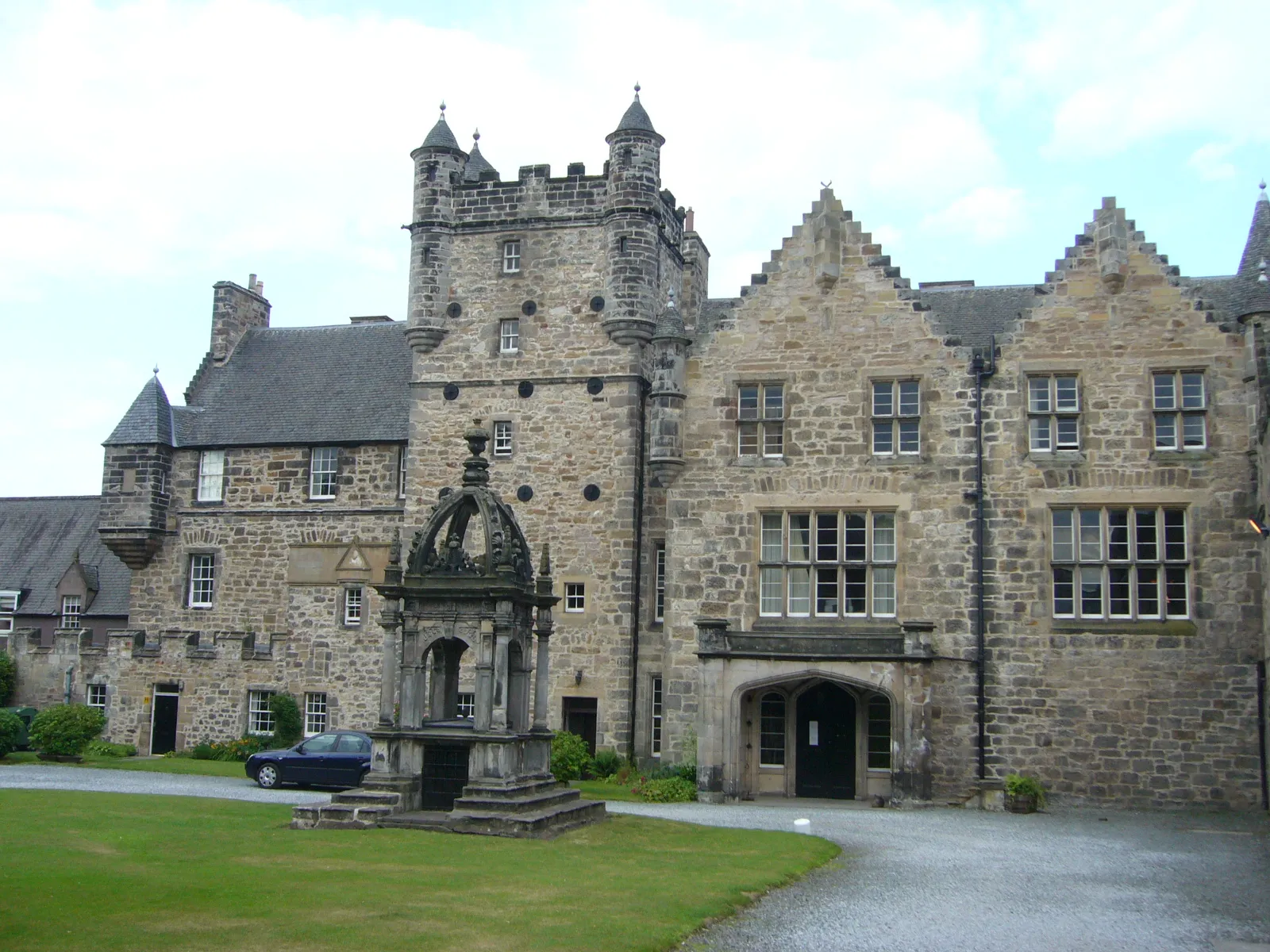
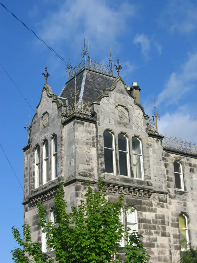
PrestonSub-urbPreston is a historic town in East Lothian with an ancient port and a rich industrial heritage.
1 km
1 km
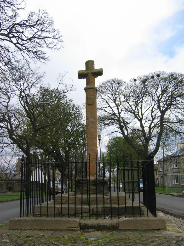
1745 Battlefield ViewpointViewpointThe 1745 Battlefield Viewpoint offers panoramic views of the battlefield site and provides insights into the Jacobite Rising.
18 km
18 km
East SaltounVillageEast Saltoun is a quaint village surrounded by beautiful countryside and traditional farmsteads.
30 km
30 km
Soutra Hill369 mPeakClimb the challenging Soutra Hill and enjoy breathtaking vistas of the surrounding landscape.
51 km
51 km
White Hill316 mPeakWhite Hill offers stunning views of the rolling hills and valleys of East Lothian.
64 km
64 km
GorebridgeTownGorebridge is a quiet town with charming architecture and a sense of old-world Scottish charm.
81 km
81 km
PrestonpansTownFinish the route in Prestonpans, where you can relax by the coast and explore its rich maritime history.
81 km
81 km
Finish: Prestonpans City centerPrestonpans: Exploring Prestonpan's historical sites and cycling routes
Cycling routes nearby: