Wheldrake to Goole Loop
A road cycling route starting from Wheldrake
Embark on a scenic road cycling adventure from Wheldrake to Goole, passing through picturesque villages and crossing iconic landmarks.
Map
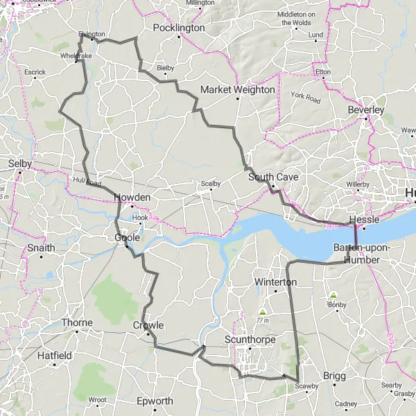
This road cycling route showcases the beauty of the North Yorkshire countryside and offers plenty of opportunities to explore charming villages along the way. The route starts in Wheldrake and takes you to Melbourne, North Cave, the Humber Bridge, Ferriby Sluice, Holme, Crowle, Goole, North Duffield, and Thorganby before returning to Wheldrake. With a manageable ascent of 345m and a distance of 154km, this intermediate-level ride is perfect for cyclists who enjoy a mix of scenic landscapes and historic landmarks.
road
154 km
345 m
Tough
Route profile
Highlights on the route
0 km
0 km
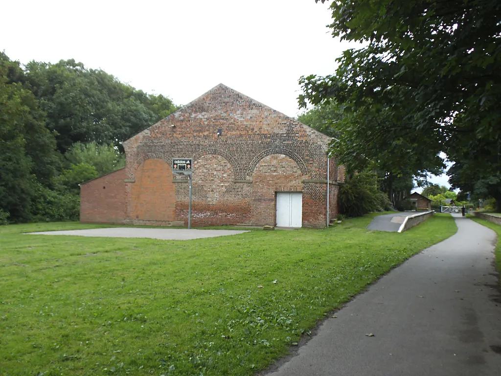
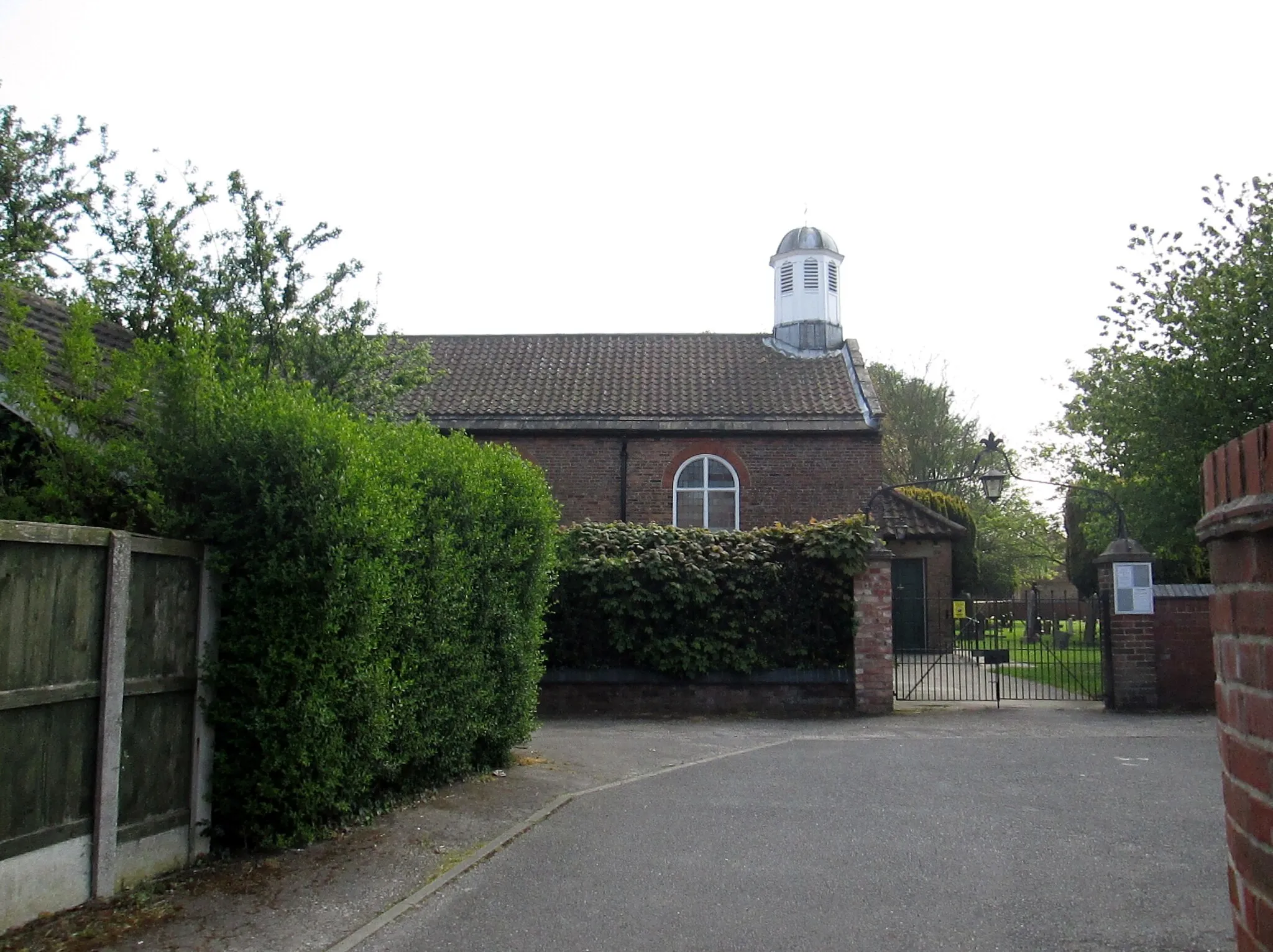
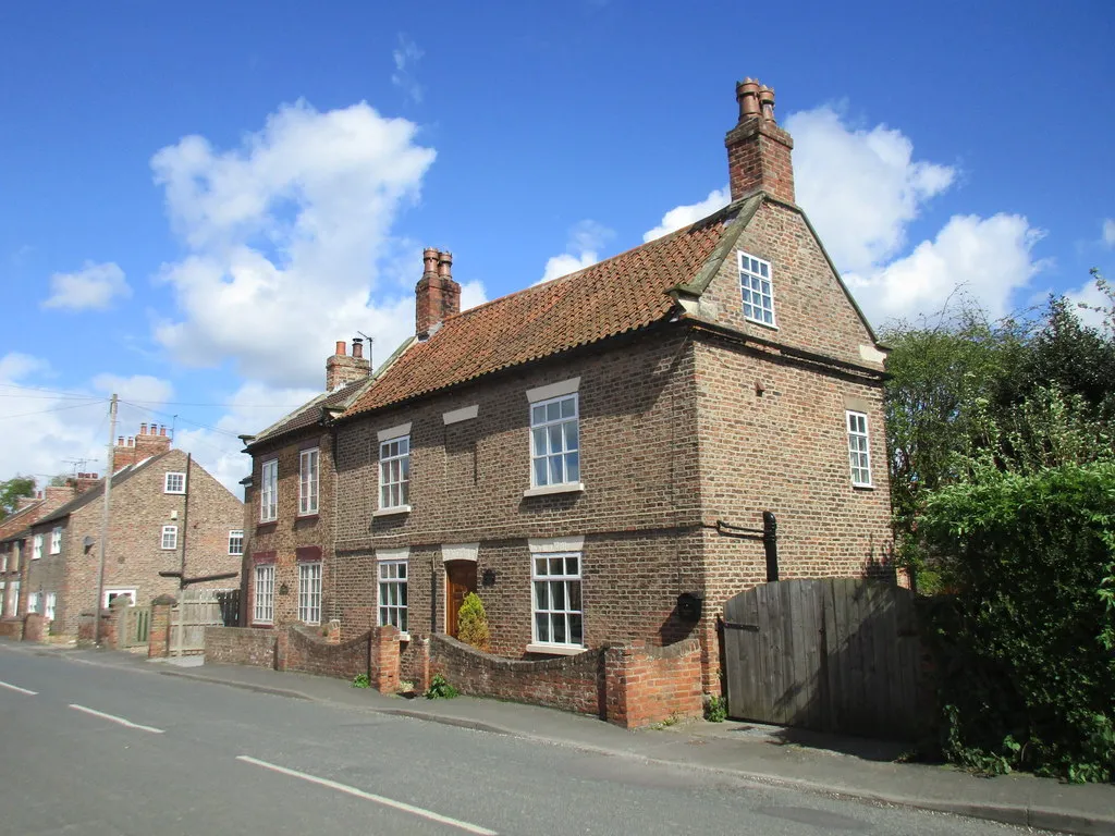
Start: Wheldrake Village centerWheldrake: A cyclist's paradise with scenic landscapes in North Yorkshire, United Kingdom.
Wheldrake, nestled in North Yorkshire, United Kingdom, is a cyclist's paradise offering scenic landscapes and various cycling routes. The locality is surrounded by stunning countryside, featuring rolling hills and quaint villages. Road cyclists can challenge themselves with rides to the nearby Howardian Hills, home to some challenging climbs. Overall, Wheldrake provides a mix of challenging and leisurely routes suitable for riders of all levels of experience.15 km
15 km
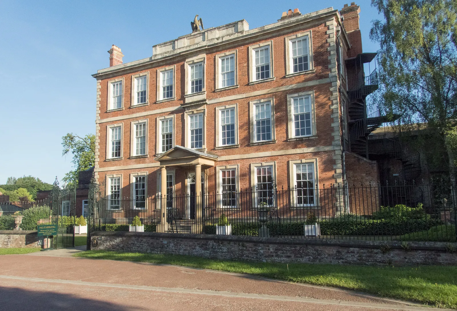
MelbourneVillageMelbourne is a quaint village known for its picturesque cottages and delightful tea rooms. Take a break here and indulge in a cup of tea and some homemade cakes.
38 km
38 km
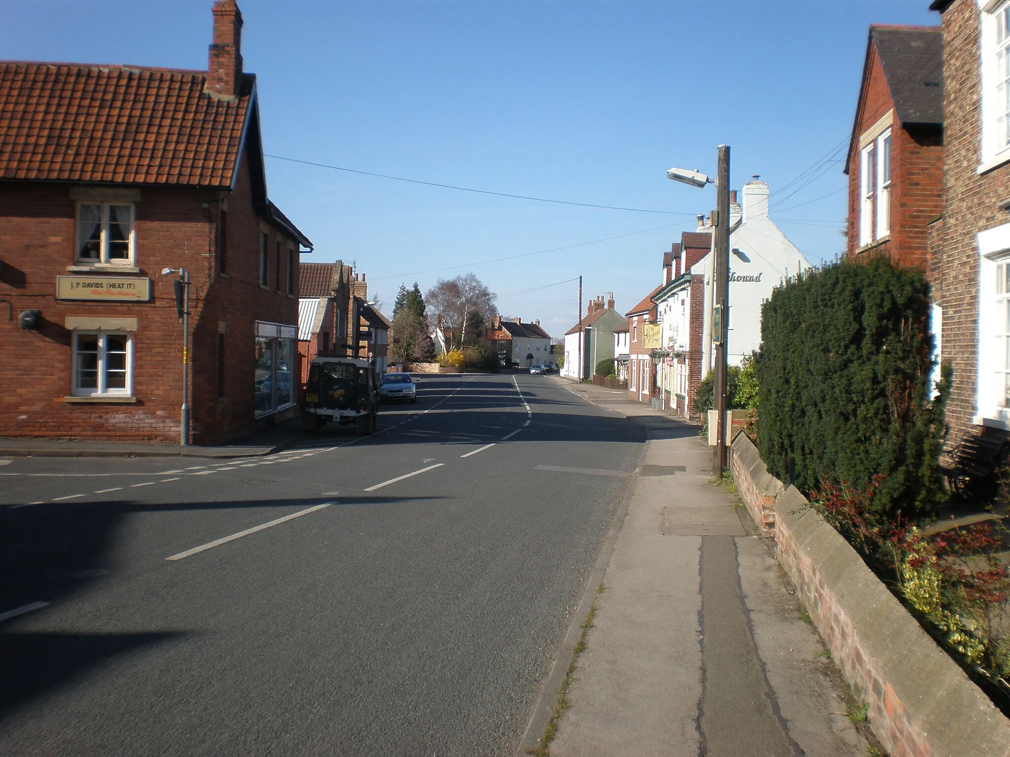
North CaveVillageNorth Cave is a charming village located at the foot of the Yorkshire Wolds. Admire the stunning views and explore the nearby nature reserves, home to a diverse range of wildlife.
57 km
57 km
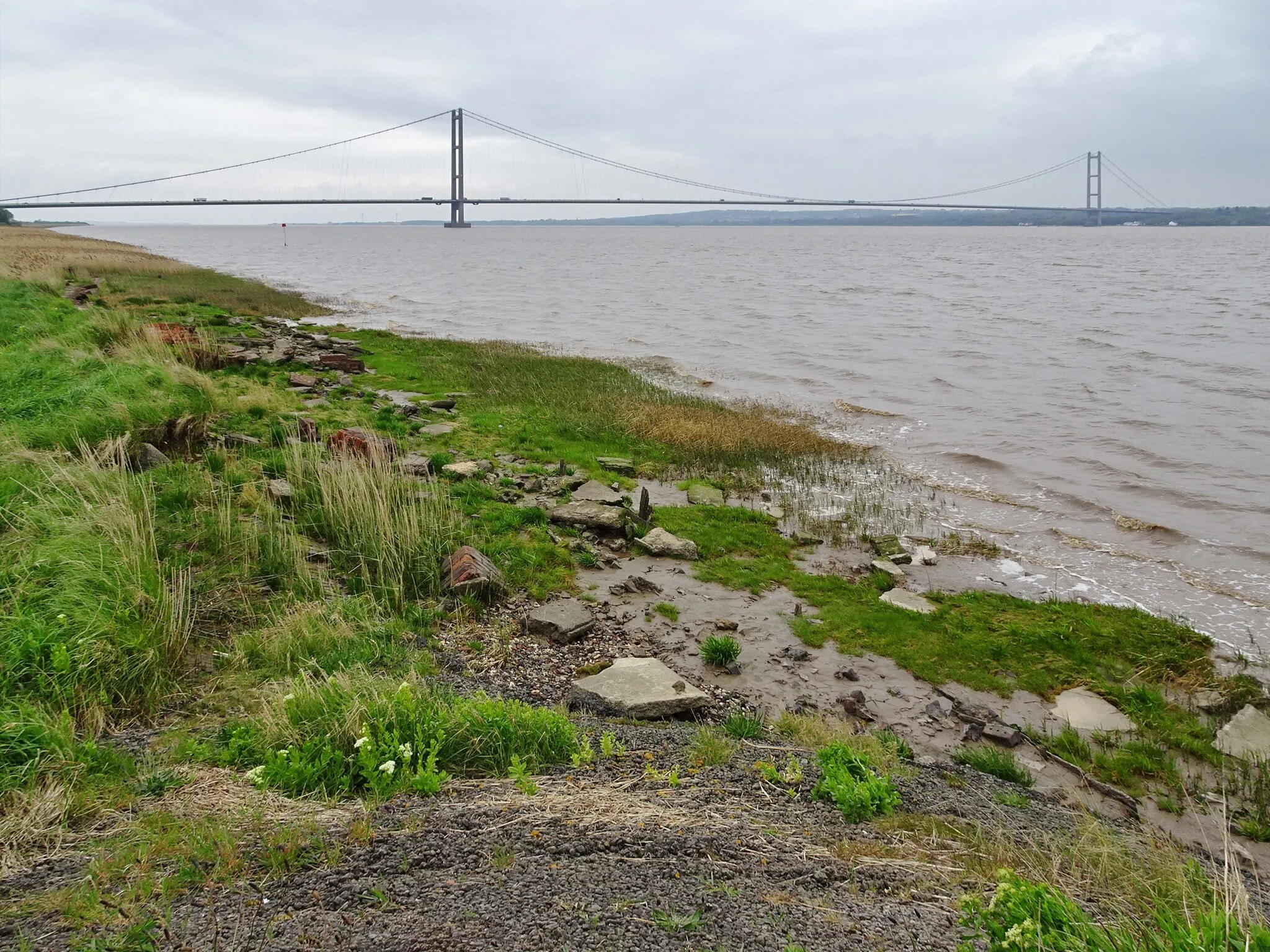
Humber BridgeAttractionThe Humber Bridge is one of the longest single-span suspension bridges in the world and an iconic landmark. Marvel at its impressive architecture and enjoy the breathtaking vistas of the River Humber.
64 km
64 km
Ferriby SluiceHamletFerriby Sluice is a unique structure that controls the water levels of the River Ancholme. Stop here to observe this fascinating hydraulic system in action.
87 km
87 km
HolmeHamletHolme is a small village nestled on the banks of the River Trent. Pause here to take in the peaceful surroundings and enjoy the tranquility of the river.
108 km
108 km
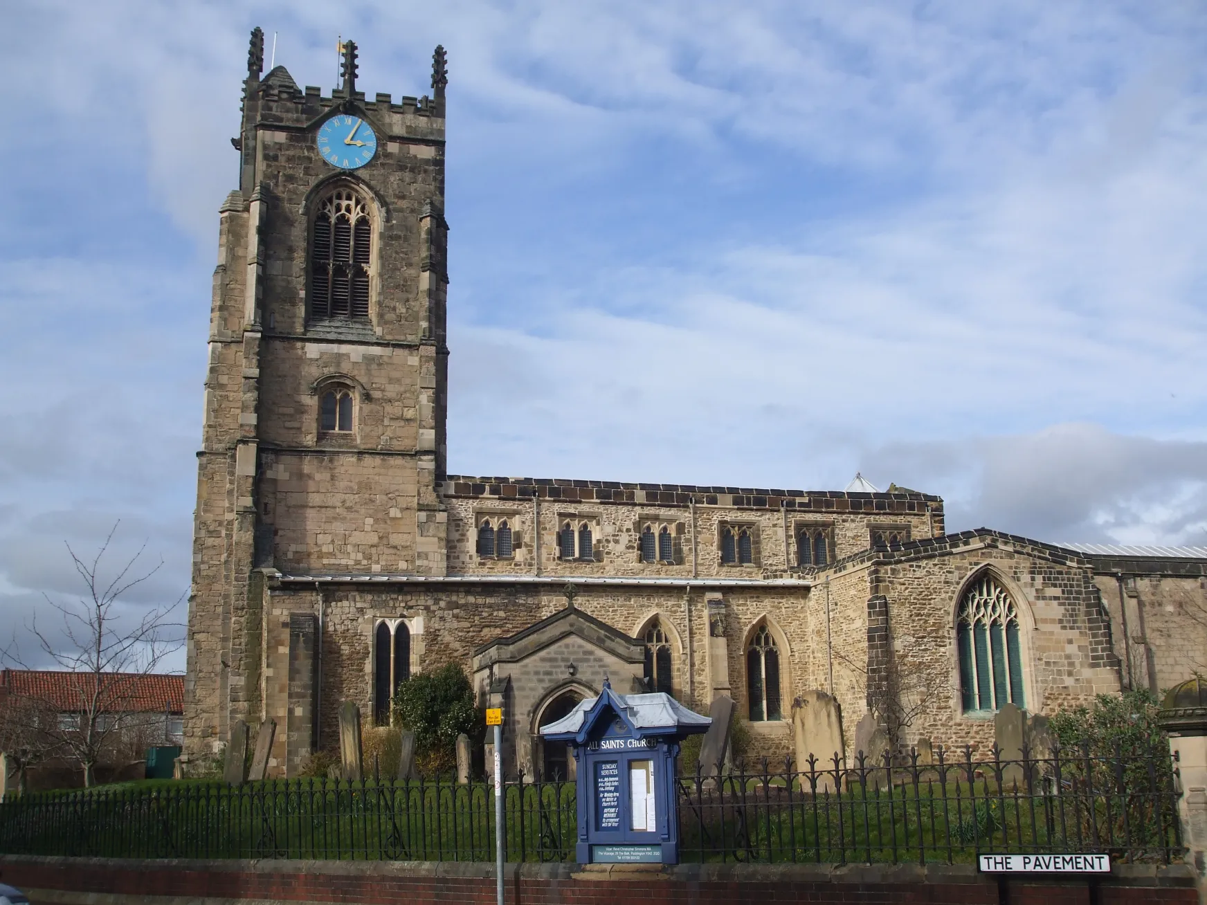
CrowleTownCrowle is a historic market town with a rich heritage. Explore the town's quaint streets, visit the traditional market, and discover the local history at the Crowle Museum.
124 km
124 km
GooleTownGoole is a bustling inland port and a hub of industrial activity. Admire the boats navigating the canals, stroll along the waterfront, and visit the Goole Museum and Art Gallery.
142 km
142 km
North DuffieldVillageNorth Duffield is a charming village surrounded by picturesque farmland. Take a moment to appreciate the peaceful countryside and soak in the rural atmosphere.
150 km
150 km
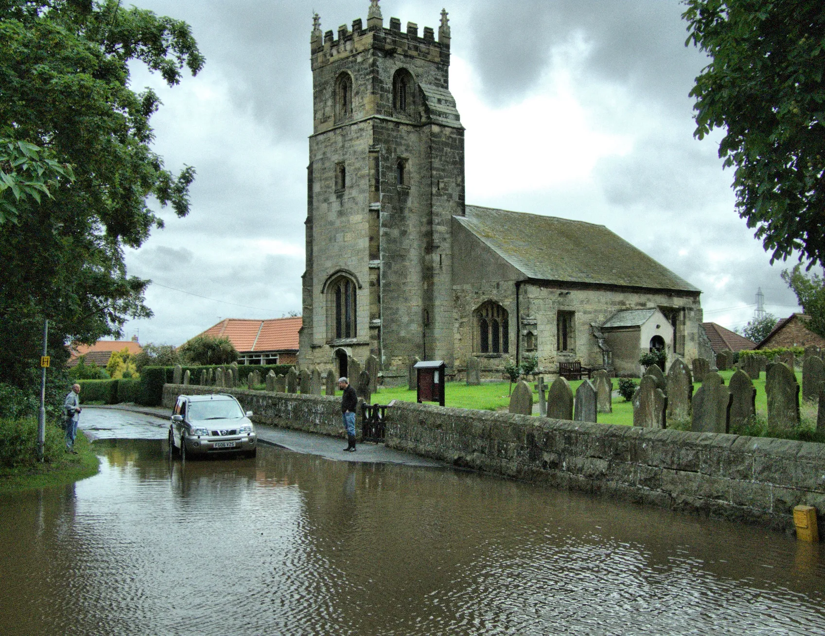
ThorganbyVillageThorganby is a tranquil village located on the edge of the beautiful Yorkshire Wolds. Enjoy the stunning views and explore the gently rolling hills that surround the village.
154 km
154 km
Finish: Wheldrake Village centerWheldrake: A cyclist's paradise with scenic landscapes in North Yorkshire, United Kingdom.
Cycling routes from Wheldrake:
Cycling routes nearby: