Saintfield to Poyntzpass Loop
A road cycling route starting from Saintfield
Experience the scenic countryside of Northern Ireland on this road cycling route from Saintfield to Poyntzpass.
Map
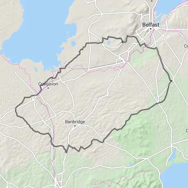
Explore the rolling hills and charming villages as you ride through Saintfield, Dromara, Annaclone, and Poyntzpass. With a total distance of 144 km and an ascent of 1507 m, this challenging route offers a mix of beautiful landscapes and historic landmarks. Suitable for well-trained amateurs.
road
144 km
1507 m
Tough
Route profile
Highlights on the route
0 km
0 km
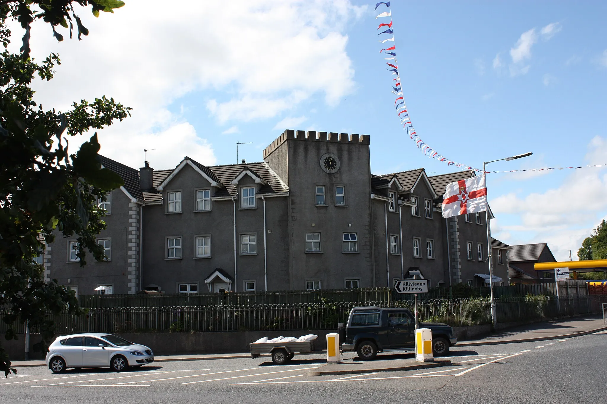
Start: Saintfield City centerSaintfield: Relax and bike through the tranquil countryside of Saintfield.
Saintfield is a locality situated in Northern Ireland, United Kingdom. From a cyclist's perspective, Saintfield offers enjoyable road cycling routes through its scenic countryside. It provides a pleasant cycling experience with tranquil surroundings and well-maintained roads. While not famous for its climbs, Saintfield is still a decent destination for road cyclists looking for a peaceful cycling experience. Tourists visiting Saintfield can also explore its charming town center and enjoy the local hospitality.0 km
0 km
SaintfieldTownSaintfield: A picturesque town known for its Georgian architecture and rich history.
17 km
17 km
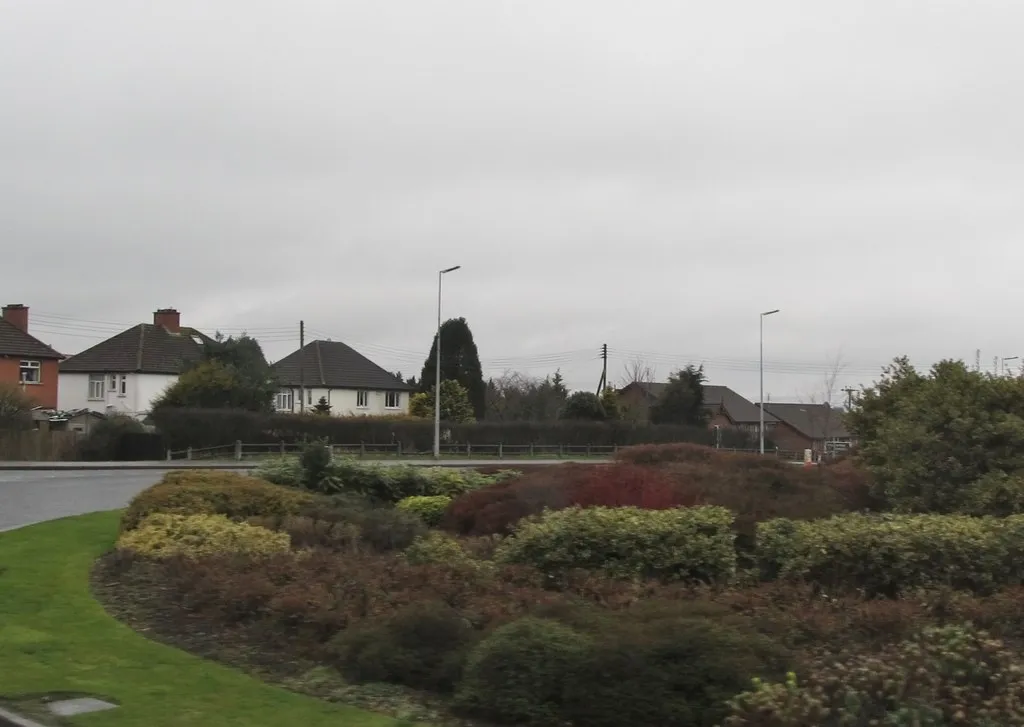
DromaraVillageDromara: Cycle through peaceful countryside and enjoy views of the Mourne Mountains.
34 km
34 km
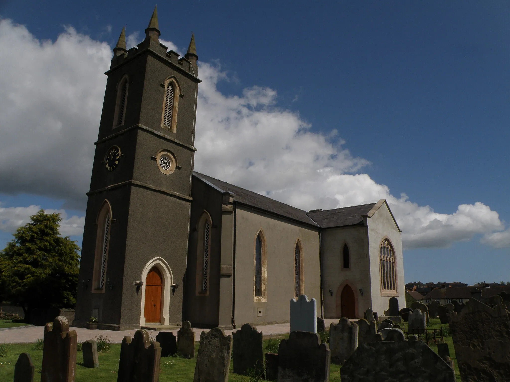
AnnacloneVillageAnnaclone: Discover the scenic beauty of the Bronte Homeland and the tranquil Loughbrickland Lake.
53 km
53 km
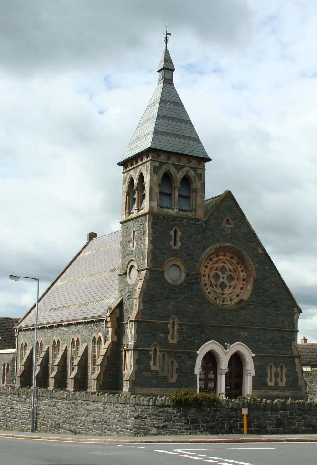
PoyntzpassVillagePoyntzpass: Visit the charming village and learn about its strong linen weaving heritage.
79 km
79 km
PortadownTownPortadown: Explore the town's history and landmarks, such as the impressive Portadown Windmill.
98 km
98 km
AghaleeVillageAghalee: Cycle through the peaceful countryside and admire the stunning Aghalee Natural Reserve.
117 km
117 km
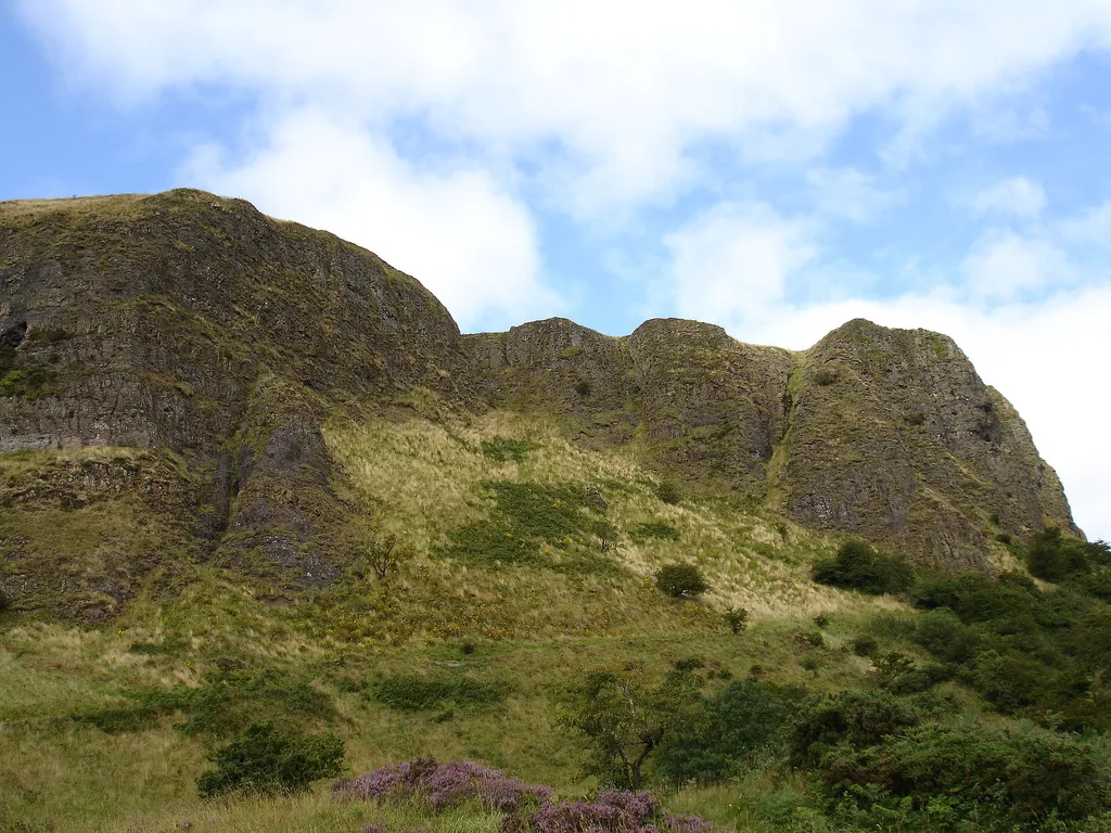
Collin328 mPeak136 km
136 km
CarryduffTownCarryduff: Enjoy the scenic views of the Belfast Hills and explore the town's charming streets.
139 km
139 km
Ouley Hill186 mPeakOuley Hill: Challenge yourself as you conquer this steep climb and enjoy the panoramic views from the top.
144 km
144 km
Finish: Saintfield City centerSaintfield: Relax and bike through the tranquil countryside of Saintfield.
Cycling routes nearby: