Saintfield to Hillhall Challenge
A road cycling route starting from Saintfield
Take on the challenge of the Saintfield to Hillhall route, showcasing the beauty of County Down.
Map

Experience a mix of rolling hills and challenging climbs as you cycle from Saintfield to Hillhall. With a total distance of 81 km and an ascent of 671 m, this route is suitable for experienced cyclists looking for a more demanding ride.
road
81 km
671 m
Tough
Route profile
Highlights on the route
0 km
0 km
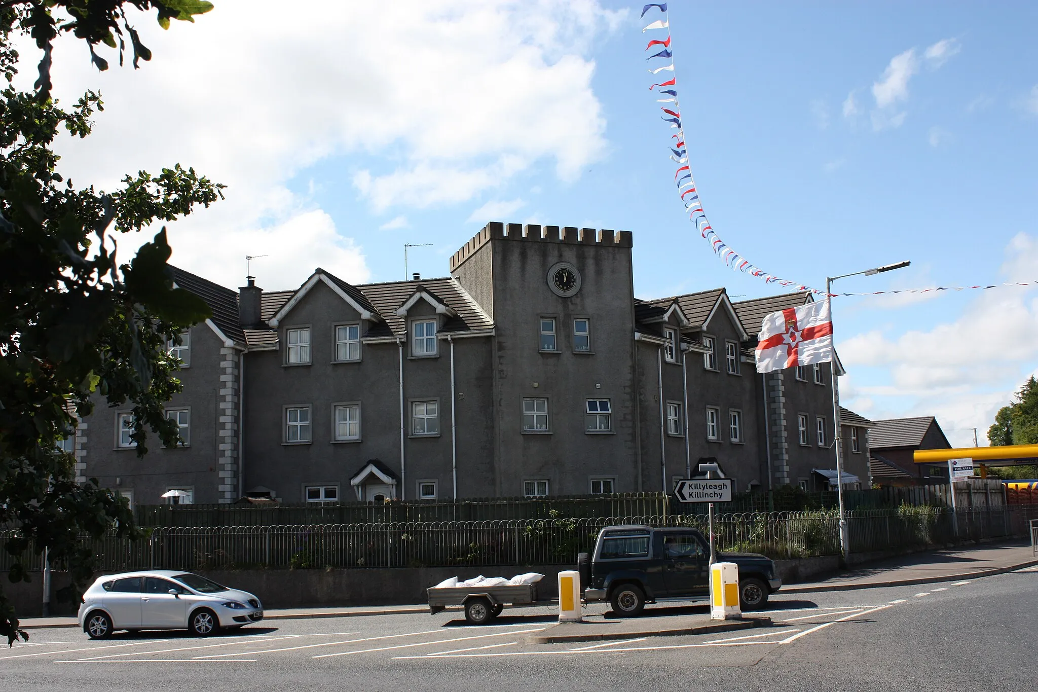
Start: Saintfield City centerSaintfield: Relax and bike through the tranquil countryside of Saintfield.
Saintfield is a locality situated in Northern Ireland, United Kingdom. From a cyclist's perspective, Saintfield offers enjoyable road cycling routes through its scenic countryside. It provides a pleasant cycling experience with tranquil surroundings and well-maintained roads. While not famous for its climbs, Saintfield is still a decent destination for road cyclists looking for a peaceful cycling experience. Tourists visiting Saintfield can also explore its charming town center and enjoy the local hospitality.0 km
0 km
SaintfieldTownSaintfield: Begin your journey in this historic town known for its charming streets and vibrant atmosphere.
21 km
21 km
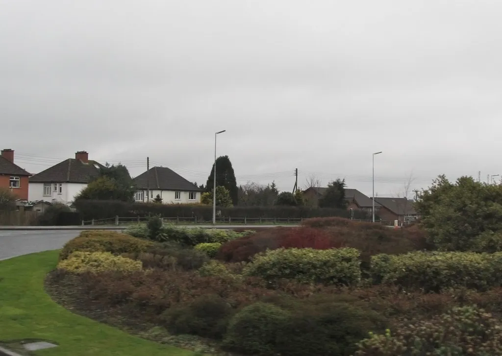
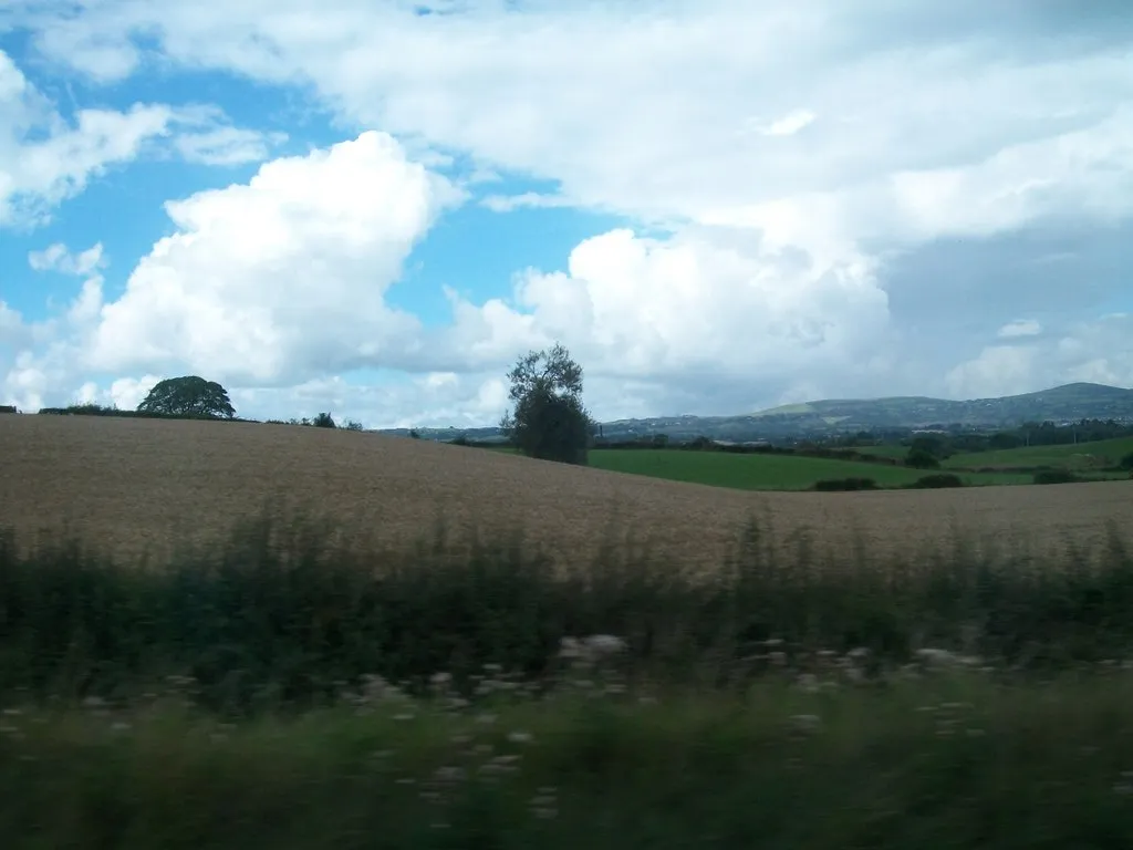
KinallenVillageKinallen: Cycle through peaceful countryside and enjoy the panoramic views of the surrounding hills.
63 km
63 km
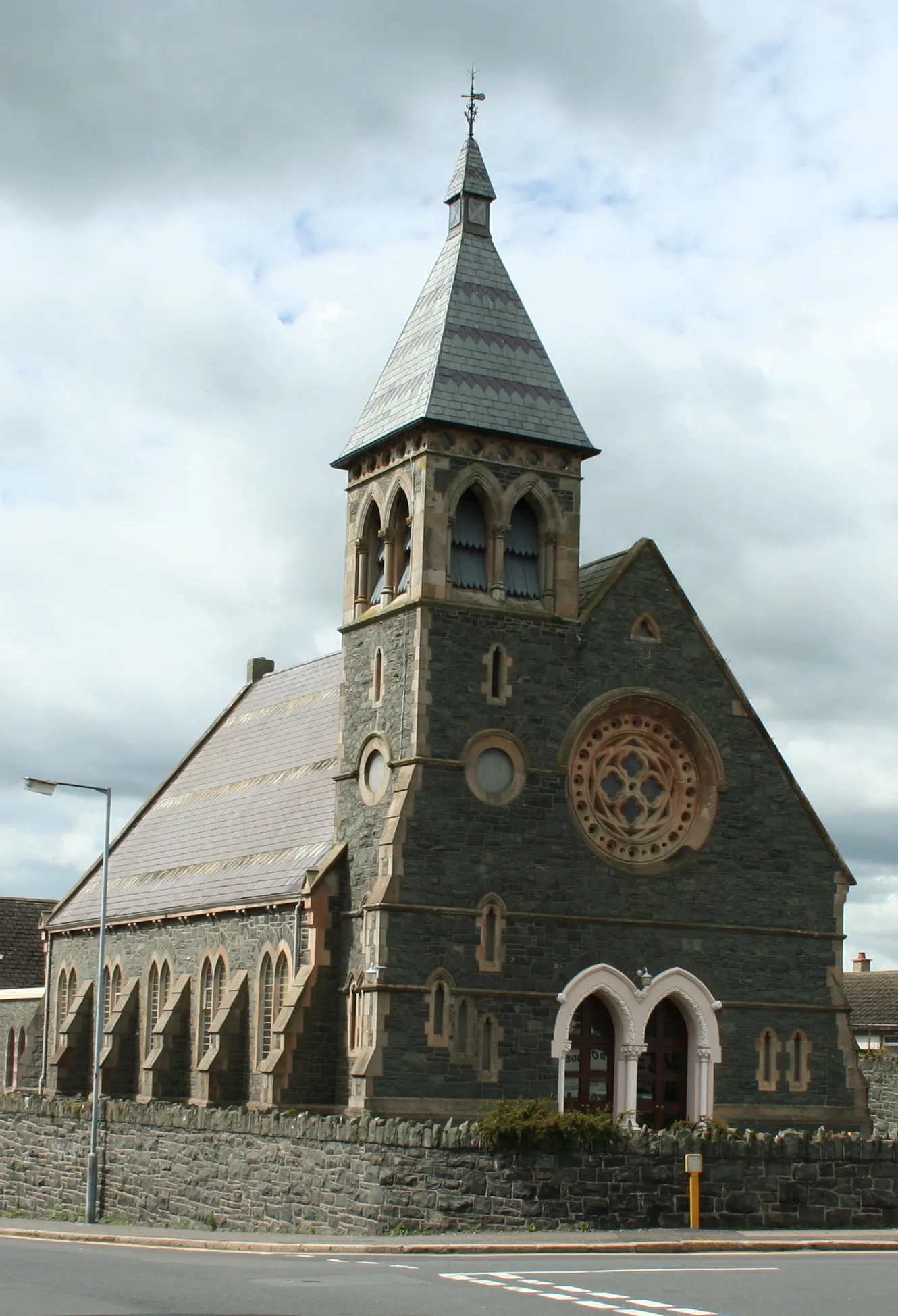
HillhallVillageHillhall: Explore the enchanting Hillhall Castle and its beautiful gardens.
74 km
74 km
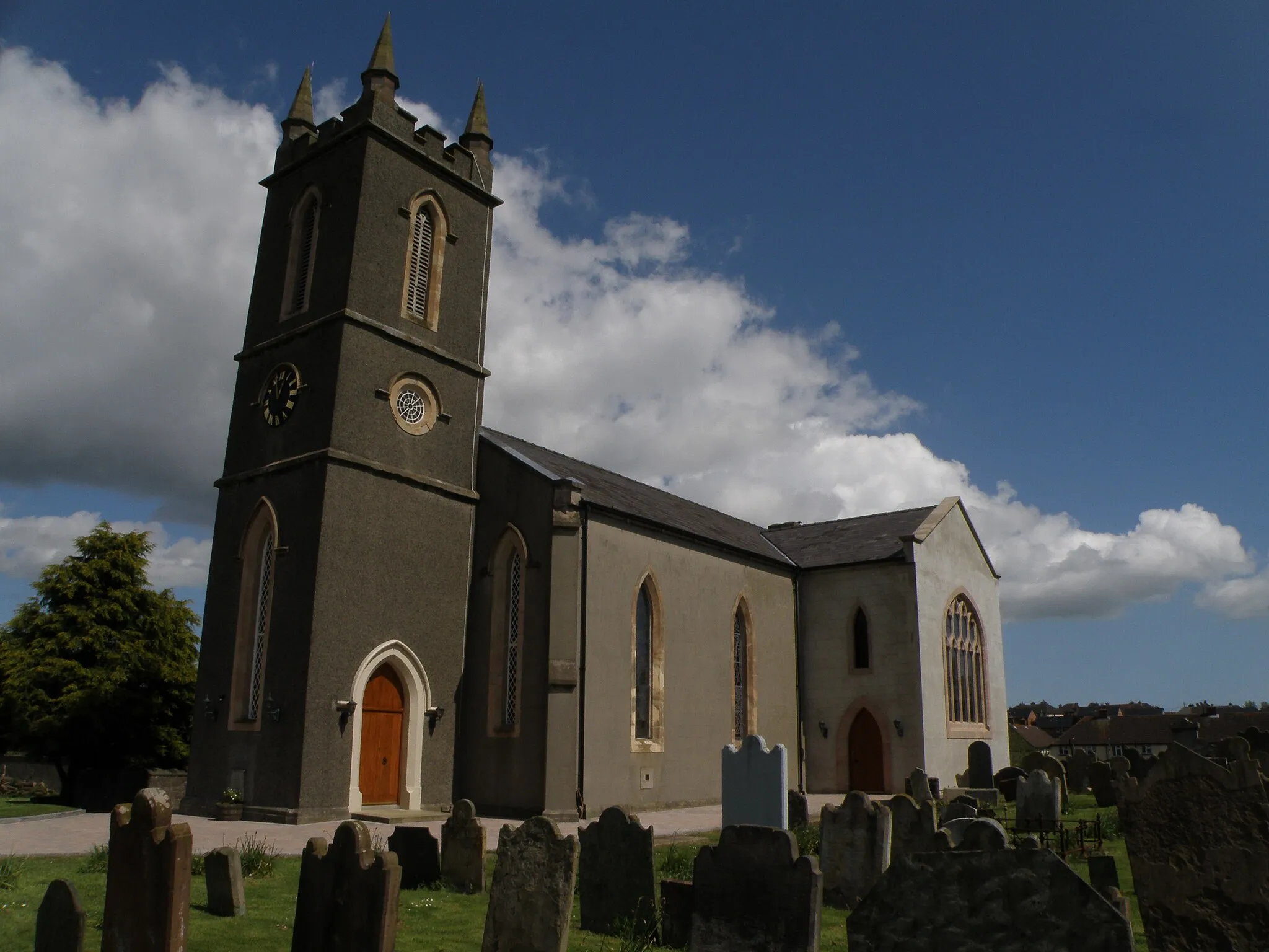
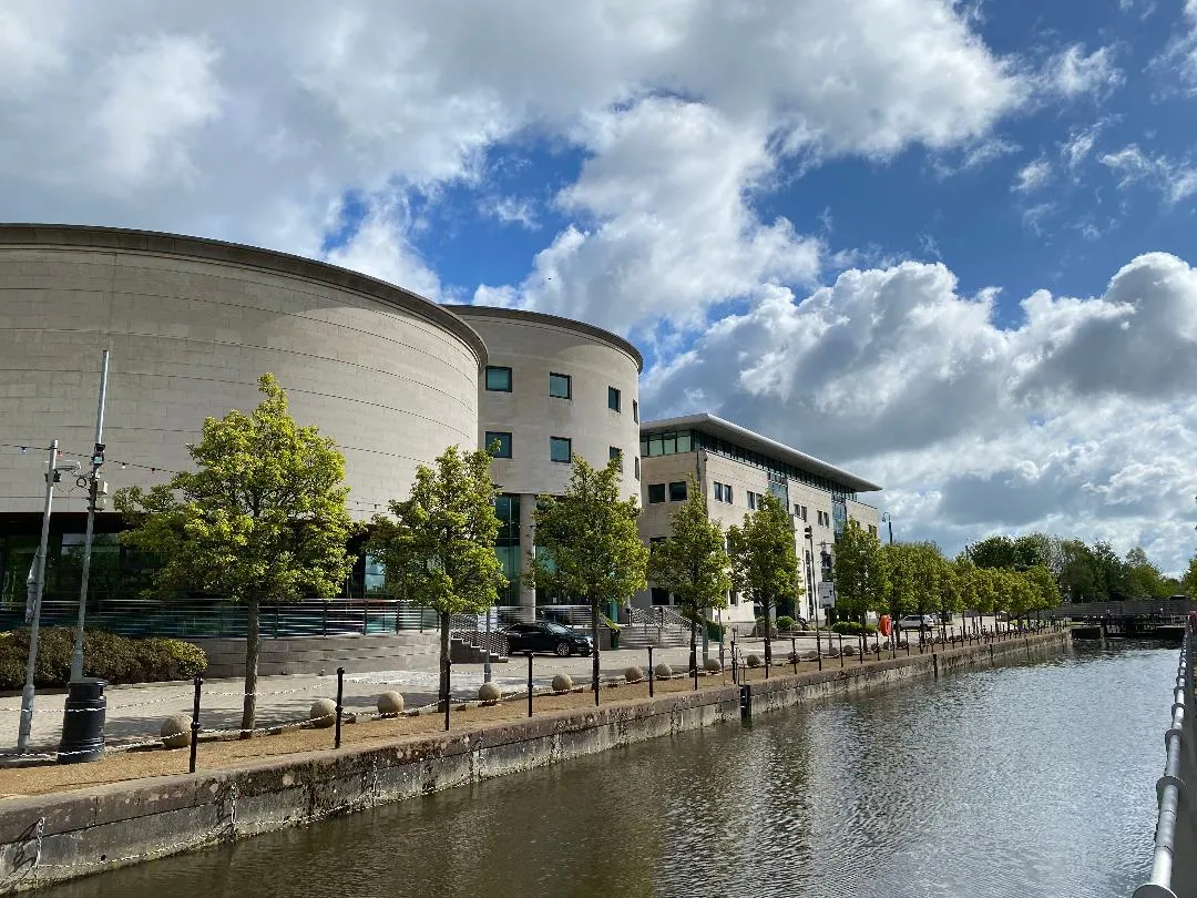
CarryduffTownCarryduff: Enjoy scenic views of the Belfast Hills as you pass through this charming town.
77 km
77 km
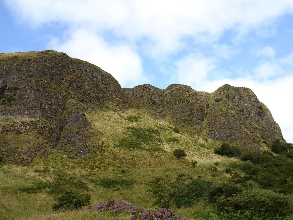
Ouley Hill186 mPeakOuley Hill: Challenge yourself with the steep ascent of Ouley Hill and take in the breathtaking views from the top.
81 km
81 km
Finish: Saintfield City centerSaintfield: Relax and bike through the tranquil countryside of Saintfield.
Cycling routes nearby: