![Cover image](https://images.tarmacs.app/cycling-routes/covers/united-kingdom/outer-london-east-and-north-east/erith-4.webp)
Discover Erith's urban and suburban cycling routes.
Cycling routes from Erith
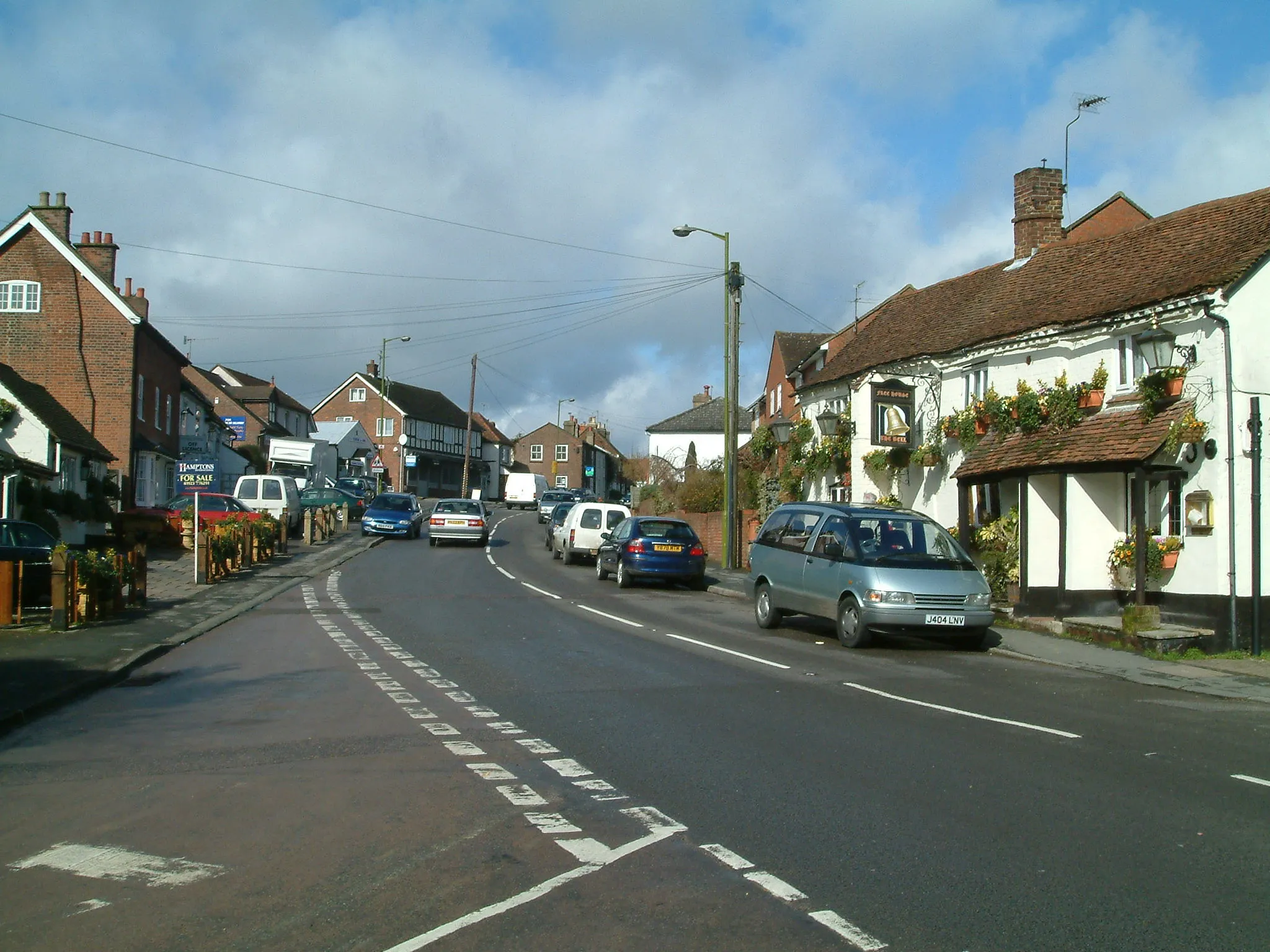
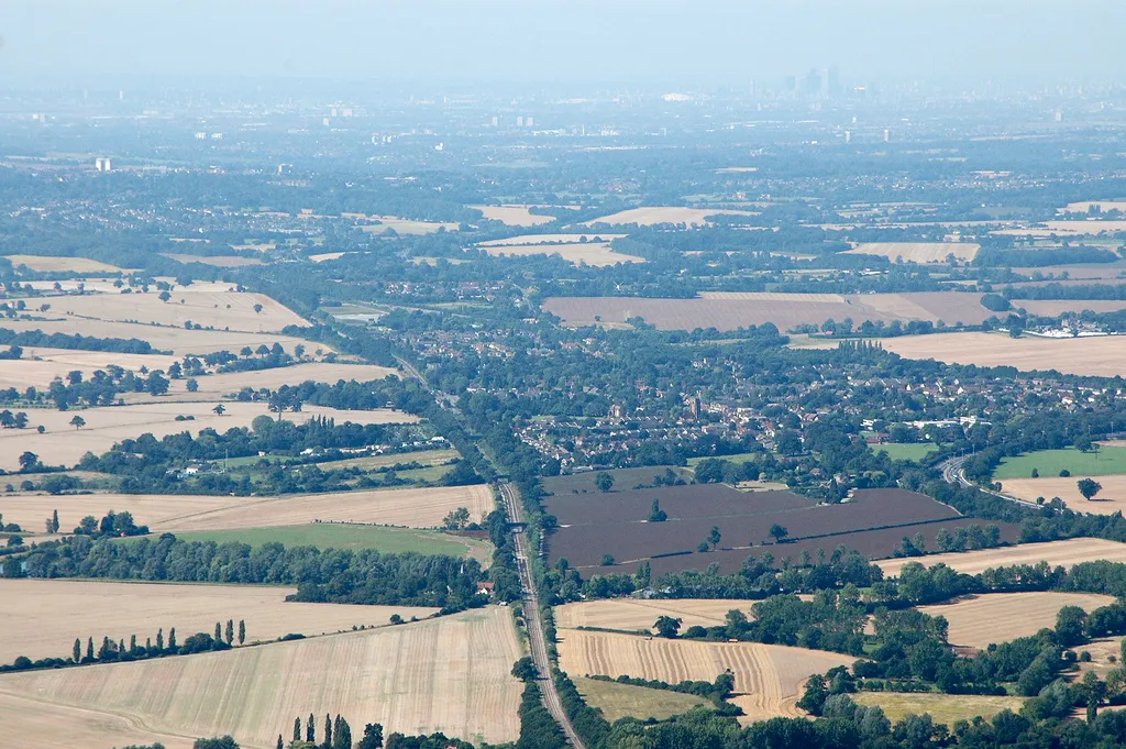
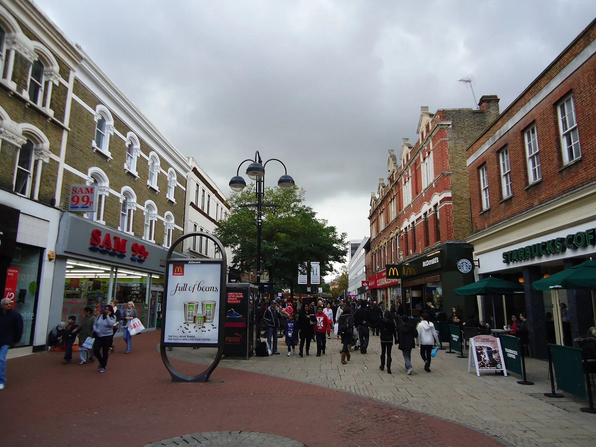
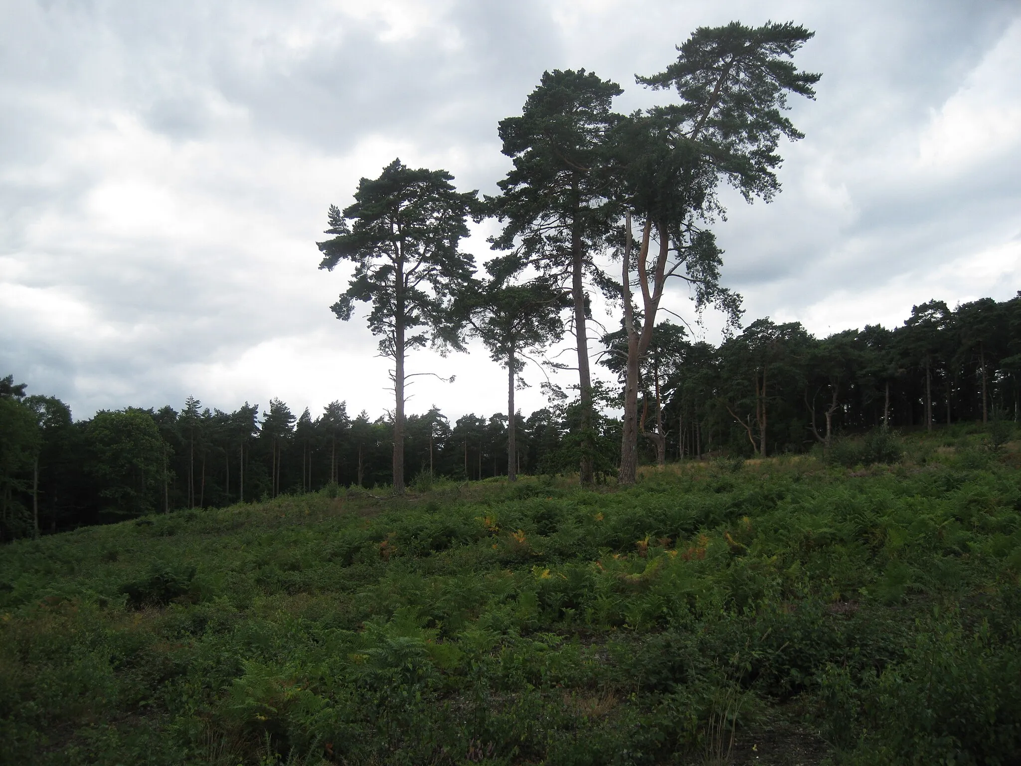
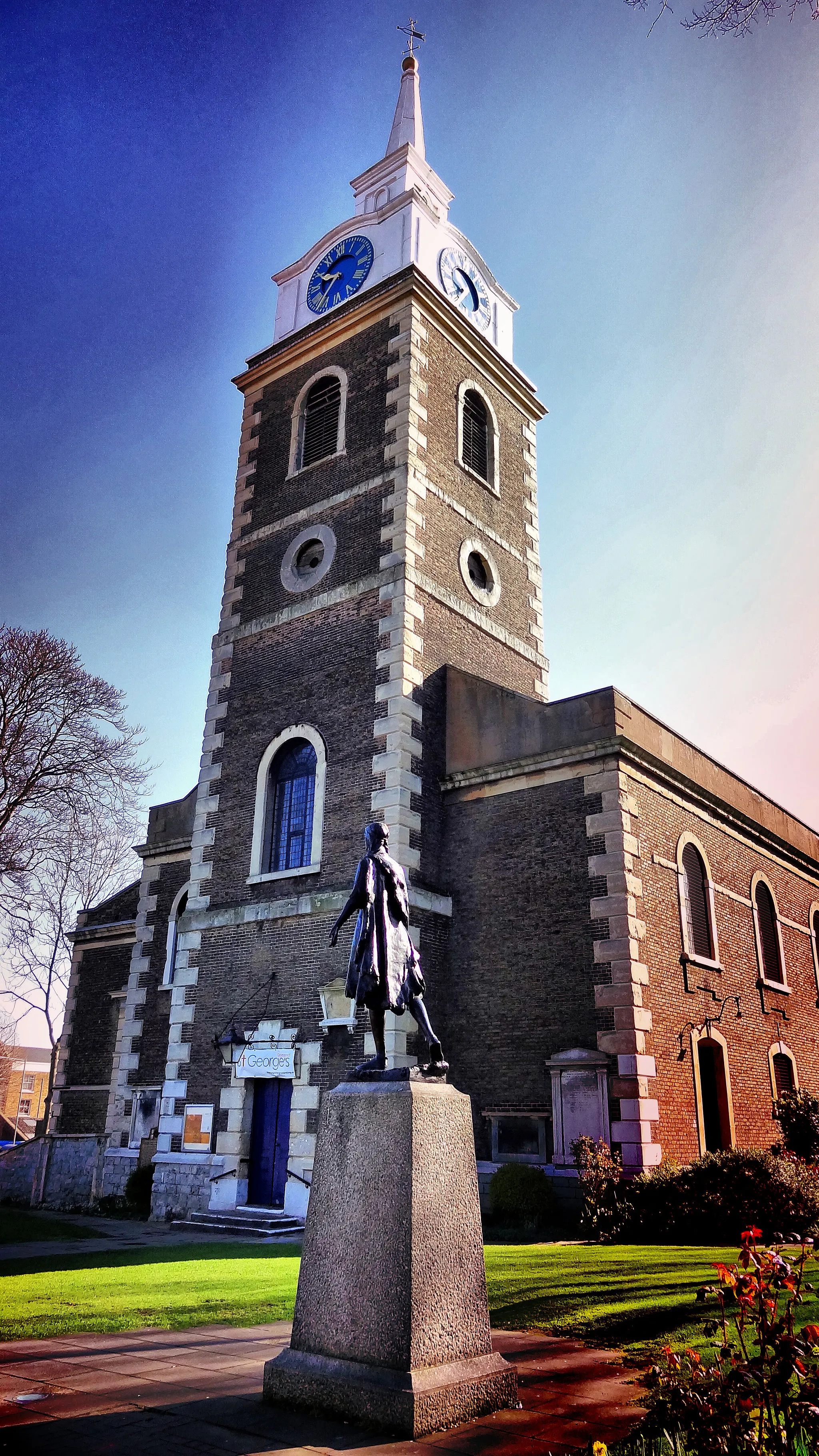
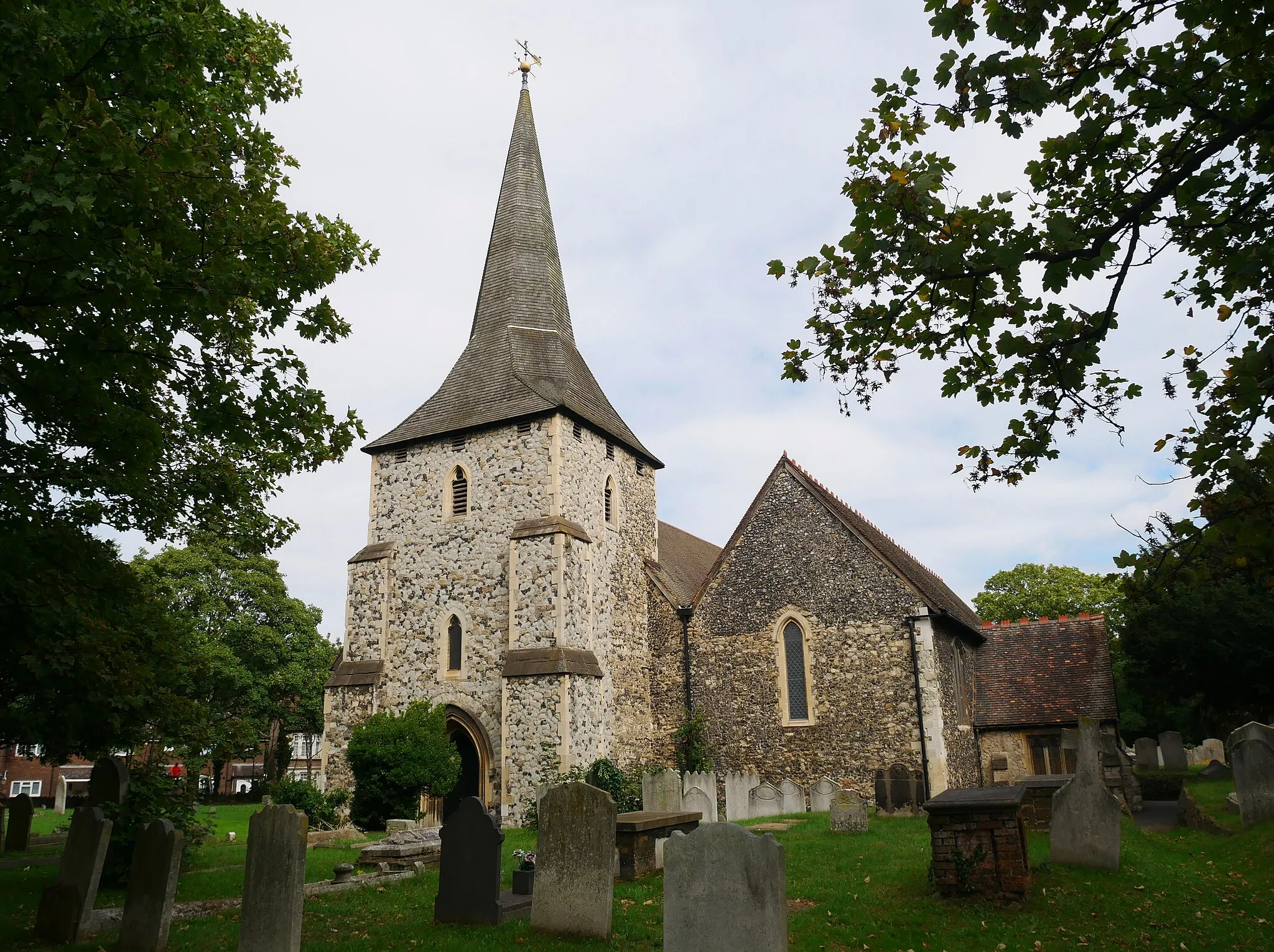
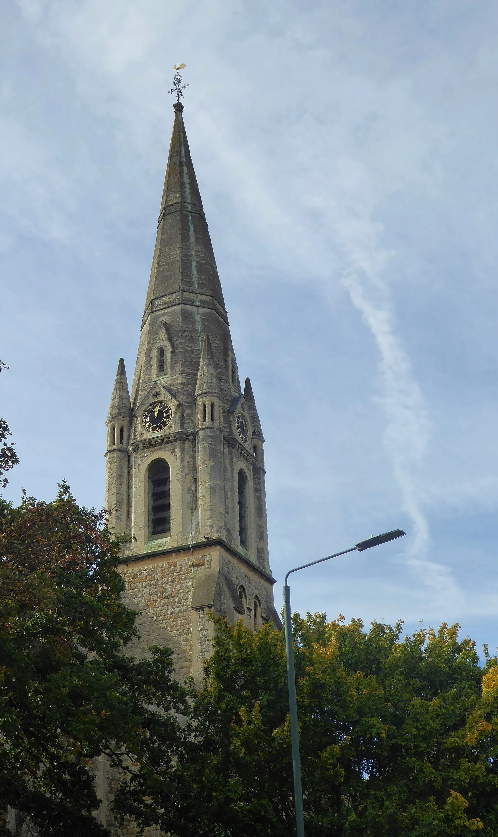
Erith, located in Outer London — East and North East in the United Kingdom, offers cycling opportunities primarily on road. While the area may not be known for its challenging climbs or famous cycling spots, it still provides cyclists with a chance to explore its urban and suburban surroundings. The roads are generally well-maintained, making for smooth rides. Additionally, Erith has access to nearby cycling-friendly areas such as Bexley and Dartford, which provide more varied terrain for adventurous cyclists. Overall, Erith is a decent location for road cyclists looking to explore the outskirts of London.
![Map miniature of "The Eltham Gravel Loop" cycling inspiration in Outer London — East and North East, United Kingdom. Generated by Tarmacs.app cycling route planner](https://images.tarmacs.app/cycling-routes/routemaps/600/united-kingdom/outer-london-east-and-north-east/erith/gravel/62358.webp)
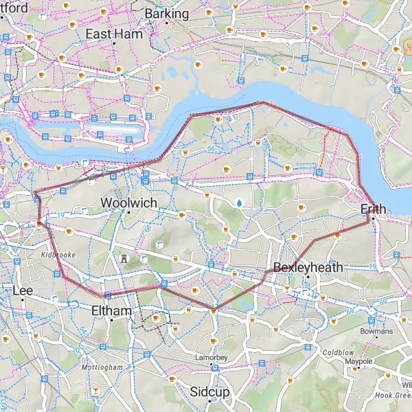
Discover the beauty of Eltham and surrounding areas on this scenic gravel loop.
This relatively easy gravel route takes you through the scenic landscapes of Eltham and Charlton. With a total distance of 32 kilometers and an ascent of 132 meters, it provides a leisurely ride for cyclists of all levels.
![Map miniature of "The Thames Estuary Adventure" cycling inspiration in Outer London — East and North East, United Kingdom. Generated by Tarmacs.app cycling route planner](https://images.tarmacs.app/cycling-routes/routemaps/600/united-kingdom/outer-london-east-and-north-east/erith/road/62379.webp)
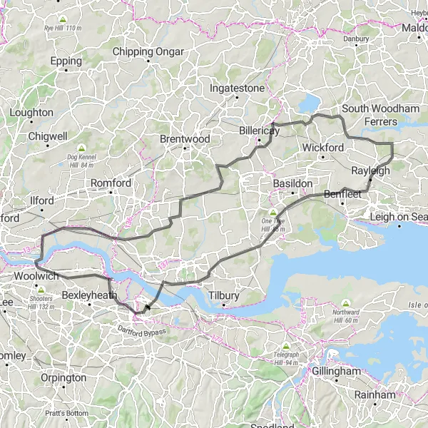
Embark on a scenic 115 km road cycling adventure along the beautiful Thames Estuary.
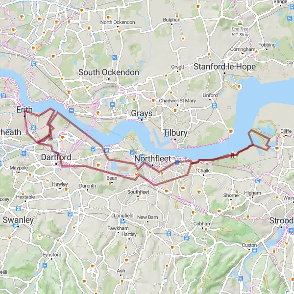
The Thames Estuary Adventure is a must-do road cycling route near Erith for those seeking a longer and more challenging ride. Covering a total distance of 115 kilometers with a cumulative ascent of 664 meters, this route explores the stunning landscapes along the Thames Estuary. As you cycle along the river, you'll be treated to mesmerizing views of the water and the surrounding countryside. With its diverse terrain and mixture of flat stretches and rolling hills, this route offers a fantastic opportunity to explore the natural beauty of the area.
![Map miniature of "The Kent Hills Road Challenge" cycling inspiration in Outer London — East and North East, United Kingdom. Generated by Tarmacs.app cycling route planner](https://images.tarmacs.app/cycling-routes/routemaps/600/united-kingdom/outer-london-east-and-north-east/erith/road/62401.webp)
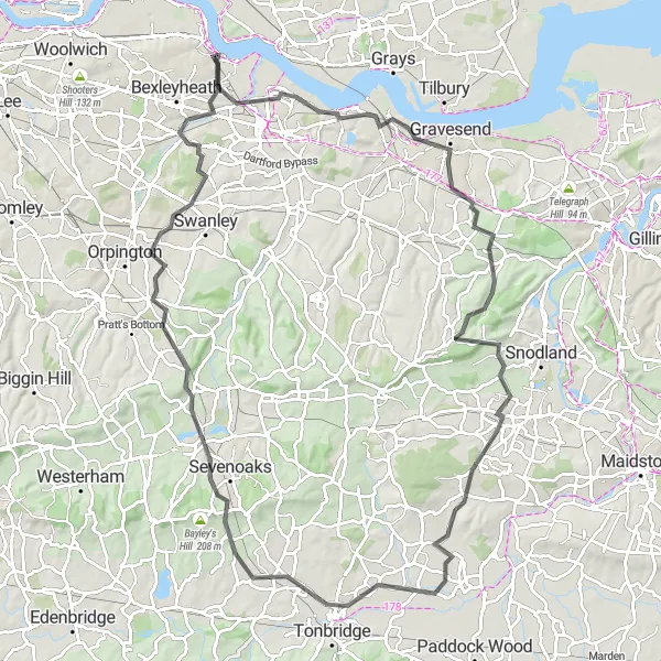
Conquer the challenging hills of Kent on this epic road cycling route.
This tough road cycling route takes you through the hilly landscapes of Kent and historic towns. With a total distance of 101 kilometers and an ascent of 892 meters, it provides a challenging test for experienced cyclists.
The Betsham Loop
![Map miniature of "The Betsham Loop" cycling inspiration in Outer London — East and North East, United Kingdom. Generated by Tarmacs.app cycling route planner](https://images.tarmacs.app/cycling-routes/routemaps/600/united-kingdom/outer-london-east-and-north-east/erith/road/62378.webp)
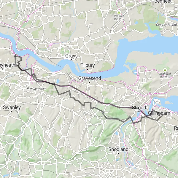
Discover the scenic landscapes of Betsham in this 76 km road cycling route.
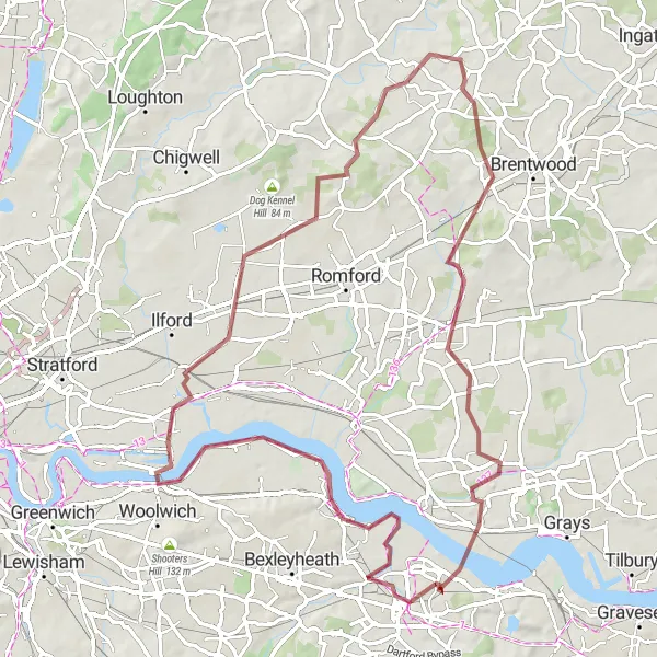
The Betsham Loop takes you on a picturesque road cycling journey through the serene landscapes near Erith. Clocking in at 76 kilometers with a total ascent of 718 meters, it provides a physically rewarding experience without being overly challenging. This route showcases the natural beauty of Betsham and its surrounding villages, offering stunning views of rolling hills and charming rural settings. With its mix of gentle climbs and exhilarating descents, this route is suitable for seasoned cyclists and those looking to enjoy a delightful day out exploring the countryside.
The Upminster Gravel Loop
![Map miniature of "The Upminster Gravel Loop" cycling inspiration in Outer London — East and North East, United Kingdom. Generated by Tarmacs.app cycling route planner](https://images.tarmacs.app/cycling-routes/routemaps/600/united-kingdom/outer-london-east-and-north-east/erith/gravel/62399.webp)
Explore the wild countryside of Upminster on this adventurous gravel loop.
This exciting gravel loop takes you through the rural landscapes of Upminster and surrounding areas. With a total distance of 78 kilometers and an ascent of 359 meters, it offers a thrilling ride for gravel enthusiasts.
The Gravel Adventure
![Map miniature of "The Gravel Adventure" cycling inspiration in Outer London — East and North East, United Kingdom. Generated by Tarmacs.app cycling route planner](https://images.tarmacs.app/cycling-routes/routemaps/600/united-kingdom/outer-london-east-and-north-east/erith/gravel/62398.webp)
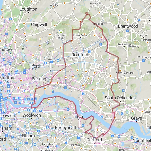
Embark on an epic gravel adventure in this 68 km cycling route near Erith.
The Gravel Adventure is a thrilling cycling route ideal for gravel bike enthusiasts. It covers a distance of 68 kilometers with a total ascent of 255 meters. This route offers a mix of gravel tracks and scenic roads, allowing you to explore the rugged beauty of the surrounding area. While not overly challenging, this route requires some off-road cycling skills and a sense of adventure. Get ready to experience the thrill of tackling gravel paths and enjoy the breathtaking natural landscapes along the way.
The Dartford Gravel Loop
![Map miniature of "The Dartford Gravel Loop" cycling inspiration in Outer London — East and North East, United Kingdom. Generated by Tarmacs.app cycling route planner](https://images.tarmacs.app/cycling-routes/routemaps/600/united-kingdom/outer-london-east-and-north-east/erith/gravel/62389.webp)
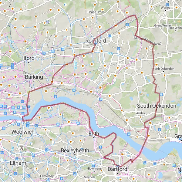
Ride through Dartford and historic sites along the River Thames.
This gravel route takes you through Dartford and various historical sites along the River Thames. With a total distance of 66 kilometers and an ascent of 300 meters, it offers a moderate challenge for cyclists.
![Map miniature of "The Essex Gravel Adventure" cycling inspiration in Outer London — East and North East, United Kingdom. Generated by Tarmacs.app cycling route planner](https://images.tarmacs.app/cycling-routes/routemaps/600/united-kingdom/outer-london-east-and-north-east/erith/gravel/62397.webp)
Embark on an epic gravel adventure through Essex countryside.
This challenging gravel route takes you through picturesque Essex countryside and ancient towns. With a total distance of 82 kilometers and an ascent of 417 meters, it offers a great test for experienced cyclists.
The Ightham and Beyond
![Map miniature of "The Ightham and Beyond" cycling inspiration in Outer London — East and North East, United Kingdom. Generated by Tarmacs.app cycling route planner](https://images.tarmacs.app/cycling-routes/routemaps/600/united-kingdom/outer-london-east-and-north-east/erith/road/62372.webp)
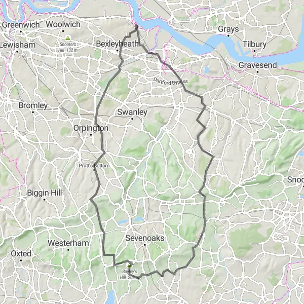
Experience the beauty of Ightham and surrounding areas in this 79 km road cycling route.
The Ightham and Beyond route takes you on an exciting road cycling adventure through stunning landscapes near Erith. This 79-kilometer route offers a challenging ascent of 959 meters, making it suitable for well-trained amateur cyclists seeking an exhilarating ride. Along the way, you'll have the opportunity to explore the charming village of Ightham with its medieval architecture and enjoy breathtaking views from River Hill. Orpington and Bexleyheath serve as excellent rest points, offering various amenities and attractions. Get ready for a rewarding cycling experience showcasing the scenic beauty of this region.
Cycling routes nearby:
![Image of Rainham](https://images.tarmacs.app/cycling-routes/covers/united-kingdom/outer-london-east-and-north-east/rainham-4.webp)
![Image of Thamesmead](https://images.tarmacs.app/cycling-routes/covers/united-kingdom/outer-london-east-and-north-east/thamesmead-4.webp)
![Image of Abbey Wood](https://images.tarmacs.app/cycling-routes/covers/united-kingdom/outer-london-east-and-north-east/abbey-wood-5.webp)
![Image of Purfleet-on-Thames](https://images.tarmacs.app/cycling-routes/covers/united-kingdom/essex/purfleet-on-thames-5.webp)
![Image of Dartford](https://images.tarmacs.app/cycling-routes/covers/united-kingdom/kent/dartford-4.webp)
![Image of Bexley](https://images.tarmacs.app/cycling-routes/covers/united-kingdom/outer-london-east-and-north-east/bexley-4.webp)
![Image of Welling](https://images.tarmacs.app/cycling-routes/covers/united-kingdom/outer-london-east-and-north-east/welling-5.webp)
![Image of Aveley](https://images.tarmacs.app/cycling-routes/covers/united-kingdom/essex/aveley-4.webp)
![Image of Plumstead](https://images.tarmacs.app/cycling-routes/covers/united-kingdom/outer-london-east-and-north-east/plumstead-5.webp)
Nearby regions:
![Image of Bedfordshire and Hertfordshire](https://images.tarmacs.app/cycling-routes/covers/united-kingdom/bedfordshire-and-hertfordshire/bovingdon-5.webp)
![Image of Essex](https://images.tarmacs.app/cycling-routes/covers/united-kingdom/essex/ingatestone-5.webp)
![Image of Inner London — West](https://images.tarmacs.app/cycling-routes/covers/united-kingdom/inner-london-west/clerkenwell-4.webp)
![Image of Inner London — East](https://images.tarmacs.app/cycling-routes/covers/united-kingdom/inner-london-east/harringay-3.webp)
![Image of Outer London — South](https://images.tarmacs.app/cycling-routes/covers/united-kingdom/outer-london-south/sanderstead-5.webp)
![Image of Outer London — West and North West](https://images.tarmacs.app/cycling-routes/covers/united-kingdom/outer-london-west-and-north-west/hounslow-3.webp)
![Image of Berkshire, Buckinghamshire and Oxfordshire](https://images.tarmacs.app/cycling-routes/covers/united-kingdom/berkshire-buckinghamshire-and-oxfordshire/wendover-3.webp)
![Image of Surrey, East and West Sussex](https://images.tarmacs.app/cycling-routes/covers/united-kingdom/surrey-east-and-west-sussex/oxshott-4.webp)
![Image of Kent](https://images.tarmacs.app/cycling-routes/covers/united-kingdom/kent/gravesend-5.webp)