The Gravel Adventure
A gravel cycling route starting from Erith
Embark on an epic gravel adventure in this 68 km cycling route near Erith.
Map
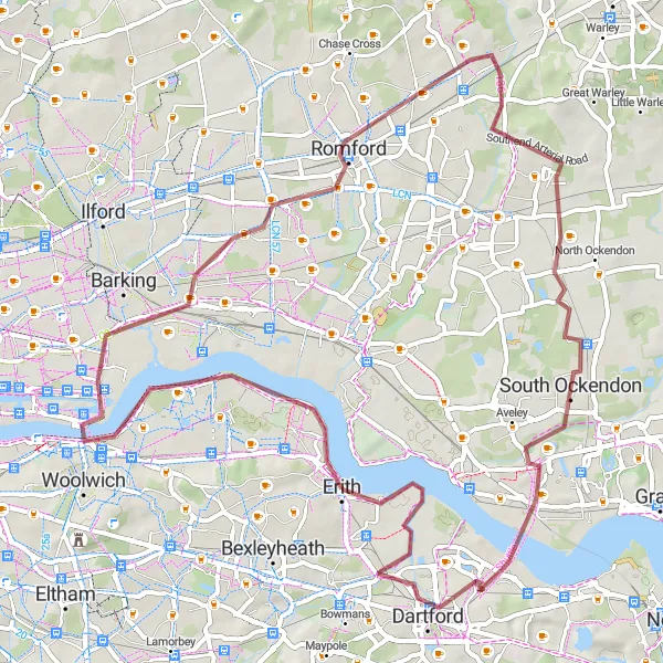
The Gravel Adventure is a thrilling cycling route ideal for gravel bike enthusiasts. It covers a distance of 68 kilometers with a total ascent of 255 meters. This route offers a mix of gravel tracks and scenic roads, allowing you to explore the rugged beauty of the surrounding area. While not overly challenging, this route requires some off-road cycling skills and a sense of adventure. Get ready to experience the thrill of tackling gravel paths and enjoy the breathtaking natural landscapes along the way.
gravel
68 km
255 m
Chill
Route profile
Highlights on the route
0 km
0 km
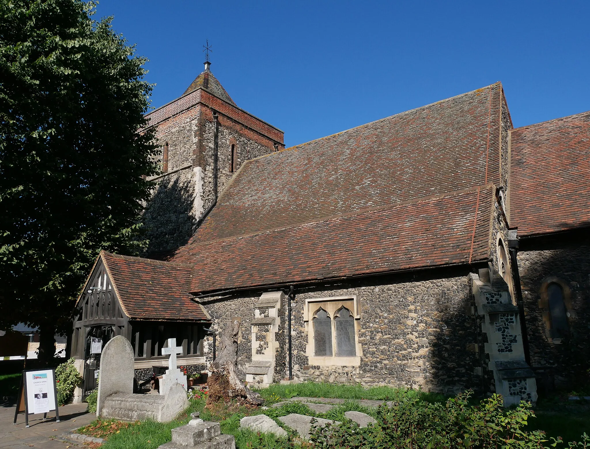
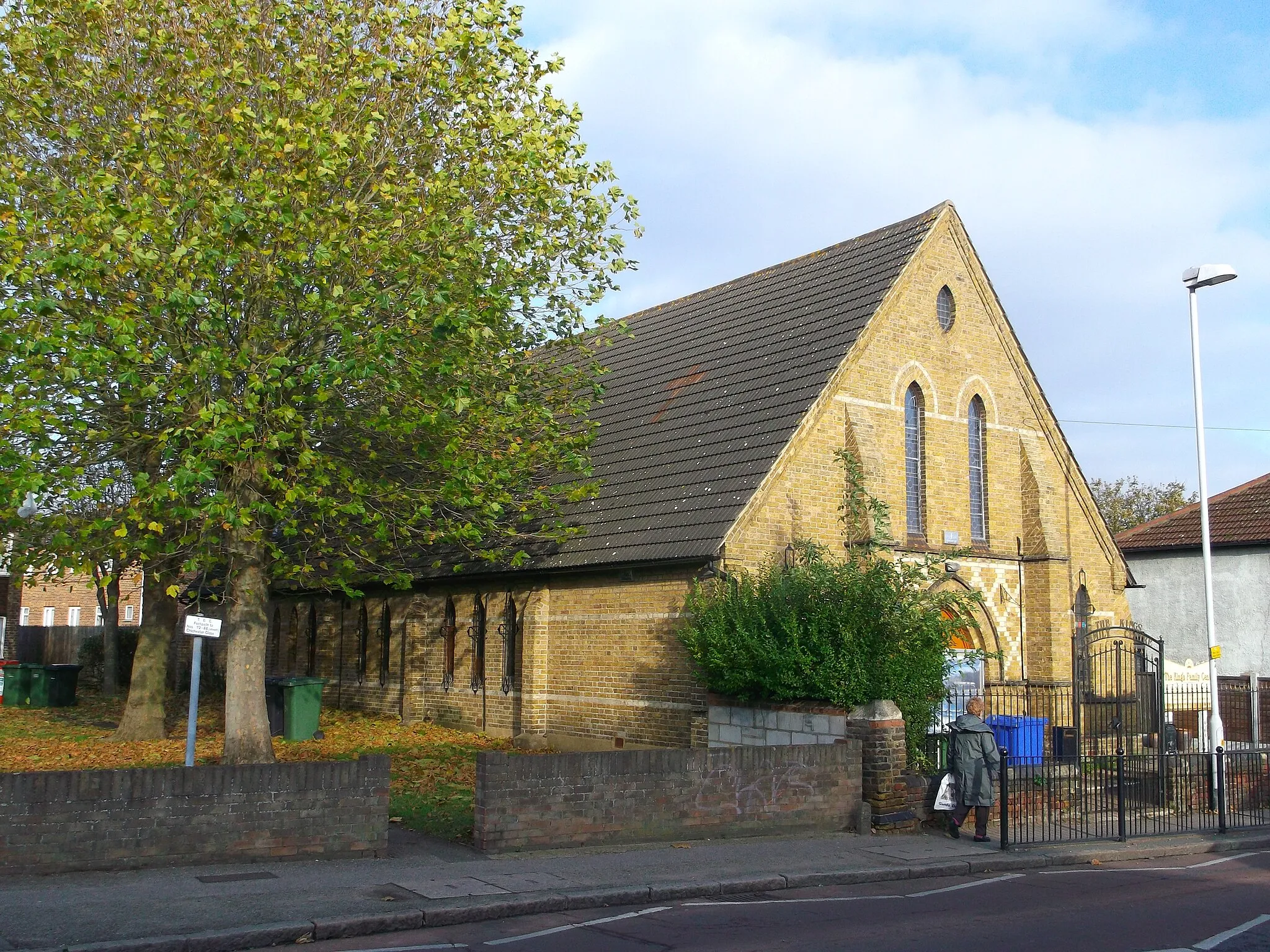
Start: Erith City centerErith: Discover Erith's urban and suburban cycling routes.
Erith, located in Outer London — East and North East in the United Kingdom, offers cycling opportunities primarily on road. While the area may not be known for its challenging climbs or famous cycling spots, it still provides cyclists with a chance to explore its urban and suburban surroundings. The roads are generally well-maintained, making for smooth rides. Additionally, Erith has access to nearby cycling-friendly areas such as Bexley and Dartford, which provide more varied terrain for adventurous cyclists. Overall, Erith is a decent location for road cyclists looking to explore the outskirts of London.0 km
0 km
ErithTownErith is the starting point of this gravel adventure, offering easy access and a peaceful setting for your cycling journey.
9 km
9 km
Lookout HillViewpointLookout Hill provides a stunning panoramic view of the surrounding countryside, rewarding you for your efforts while cycling uphill.
15 km
15 km
Beckton Alps35 mPeakBeckton Alps is a gravel cycling hotspot popular among local riders, featuring challenging climbs and thrilling descents.
27 km
27 km
RomfordTownRomford is a bustling town with exciting cycling routes and a vibrant atmosphere, offering a diverse range of dining and shopping options.
40 km
40 km
CranhamSub-urbCranham is a hidden gem known for its beautiful nature reserves and picturesque settings, providing a tranquil escape from the urban environment.
42 km
42 km
(hide)Viewpoint53 km
53 km
West ThurrockSub-urbWest Thurrock offers scenic views of the Thames River and a variety of cycling routes suitable for all skill levels.
67 km
67 km
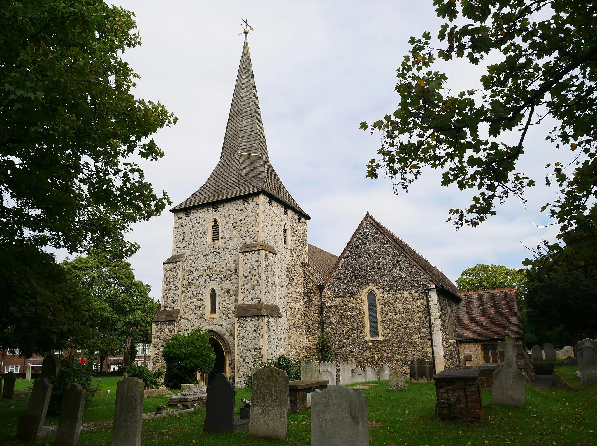
Slade GreenSub-urbSlade Green is a charming village with its quaint pubs and picturesque surroundings, serving as a great spot for a well-deserved break.
68 km
68 km
Finish: Erith City centerErith: Discover Erith's urban and suburban cycling routes.
Cycling routes nearby: