The Kent Hills Road Challenge
A road cycling route starting from Erith
Conquer the challenging hills of Kent on this epic road cycling route.
Map
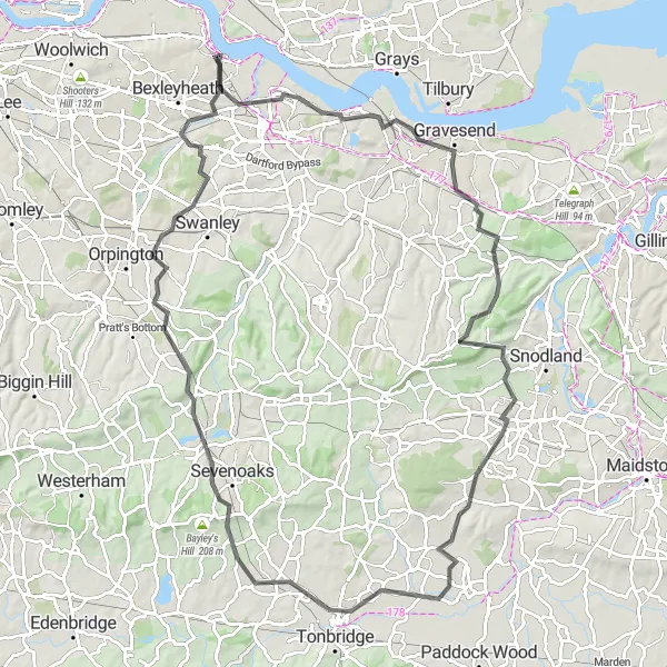
This tough road cycling route takes you through the hilly landscapes of Kent and historic towns. With a total distance of 101 kilometers and an ascent of 892 meters, it provides a challenging test for experienced cyclists.
road
101 km
892 m
Savage
Route profile
Highlights on the route
0 km
0 km
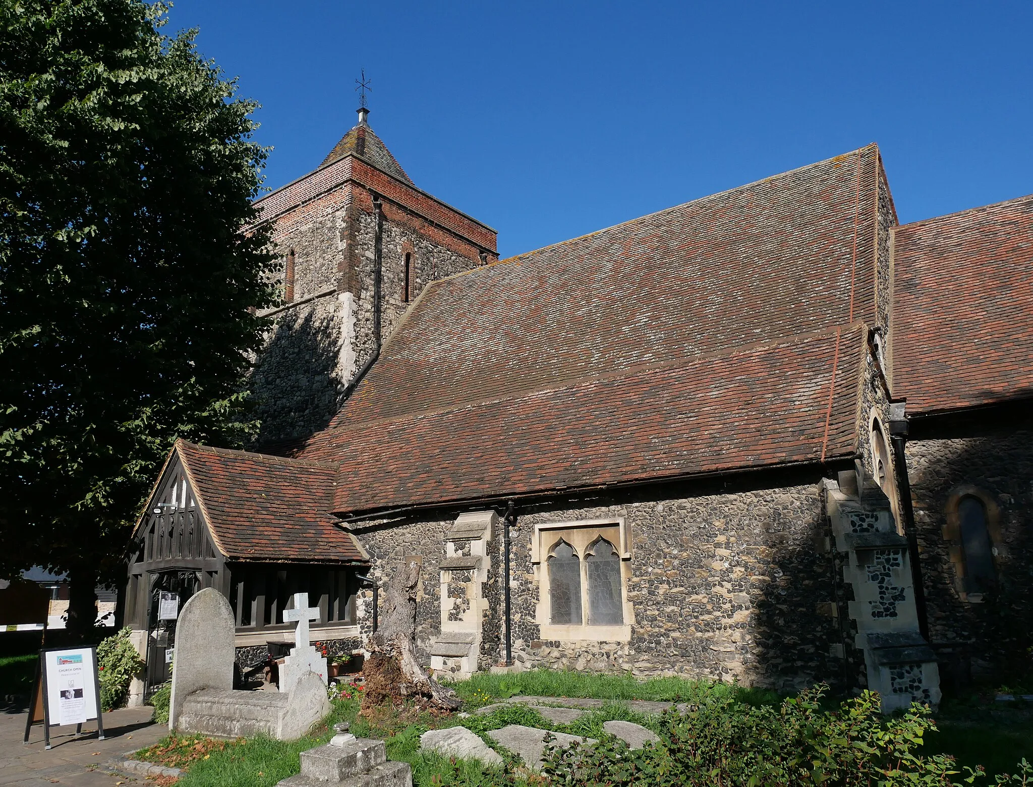
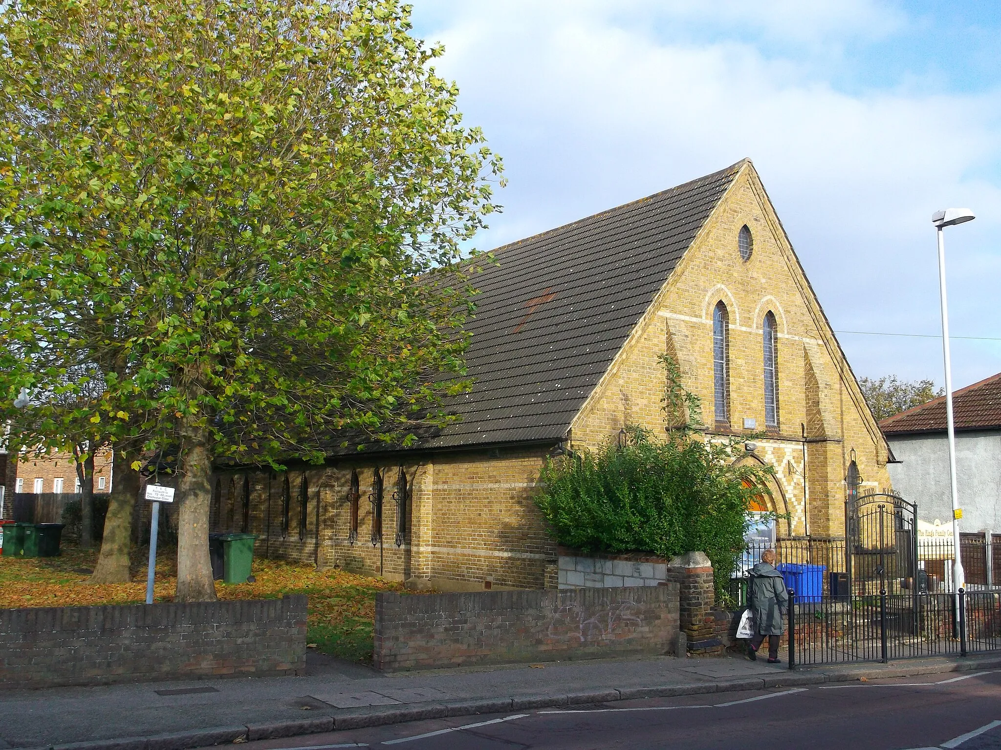
Start: Erith City centerErith: Discover Erith's urban and suburban cycling routes.
Erith, located in Outer London — East and North East in the United Kingdom, offers cycling opportunities primarily on road. While the area may not be known for its challenging climbs or famous cycling spots, it still provides cyclists with a chance to explore its urban and suburban surroundings. The roads are generally well-maintained, making for smooth rides. Additionally, Erith has access to nearby cycling-friendly areas such as Bexley and Dartford, which provide more varied terrain for adventurous cyclists. Overall, Erith is a decent location for road cyclists looking to explore the outskirts of London.17 km
17 km
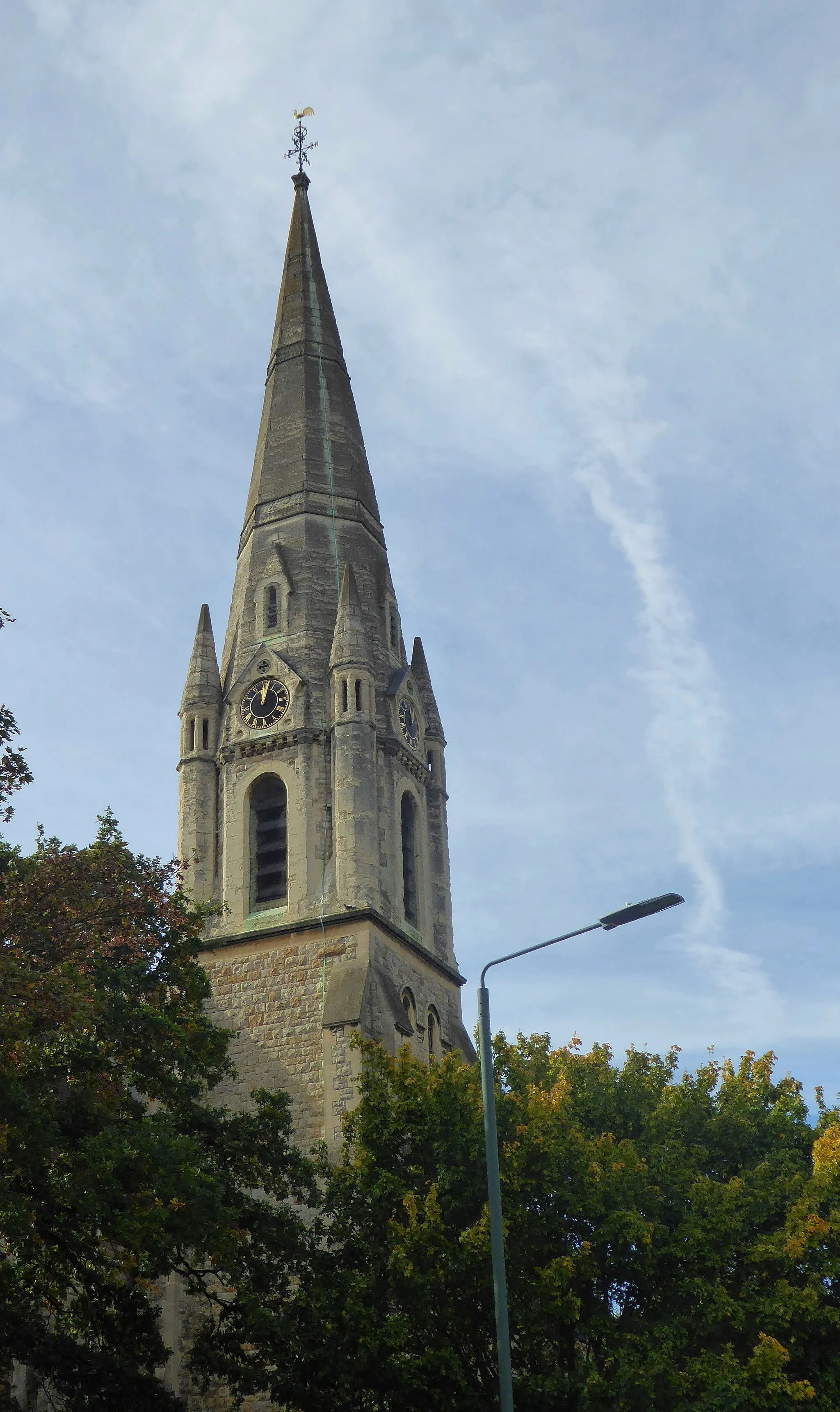
GravesendTownVisit Gravesend and explore its historic waterfront.
27 km
27 km
LuddesdownVillagePass through Luddesdown and admire the rural charm of the village.
40 km
40 km
West MallingTownExplore West Malling and its charming architecture.
61 km
61 km
HildenboroughVillageExperience the challenging ascent of Hildenborough and enjoy the rewarding views.
73 km
73 km
RiverheadVillageCycle through Riverhead and take in the beautiful countryside scenery.
95 km
95 km
BexleySub-urbReach Bexley and discover its historic sites and quaint streets.
101 km
101 km
Finish: Erith City centerErith: Discover Erith's urban and suburban cycling routes.
Cycling routes nearby: