South Yorkshire Road Challenge
A road cycling route starting from Burngreave
Conquer the hills of South Yorkshire on this exhilarating road challenge
Map

Join other avid road cyclists on this thrilling 61km journey to conquer the hills of South Yorkshire. Starting near Burngreave, this challenging route rewards your efforts with stunning vistas and iconic highlights such as Walkley, Stocksbridge, and the Steel Project View Point. With a total ascent of 1161m, this route is suitable for experienced road cyclists looking for a demanding and adventurous ride through picturesque landscapes.
road
61 km
1161 m
Savage
Route profile
Highlights on the route
0 km
0 km
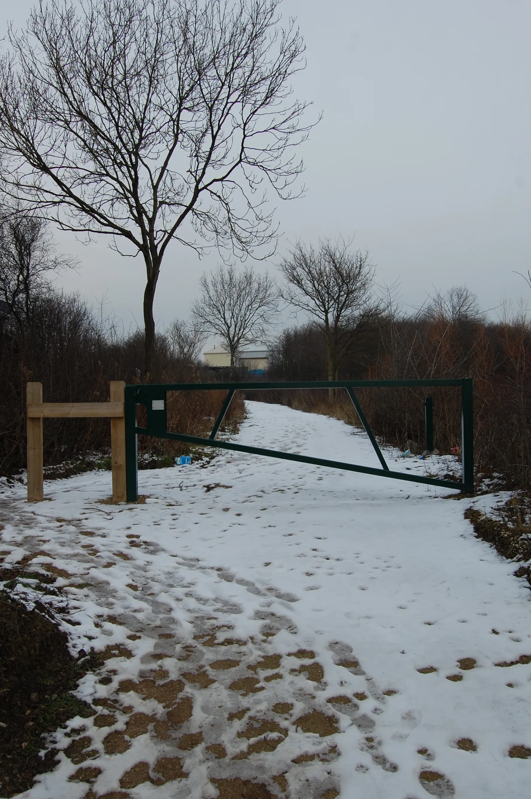
Start: Sheffield City centerBurngreave: Limited cycling opportunities in an urban setting of Burngreave, South Yorkshire.
Burngreave is a locality located in South Yorkshire, United Kingdom. From a cyclist's perspective, Burngreave might not offer extensive cycling opportunities. The area mainly consists of urban streets, and there are limited cycling-related spots or notable climbs nearby. However, cyclists can still explore the surrounding countryside and enjoy casual rides. Consequently, Burngreave receives a rank of 2.2 km
2 km
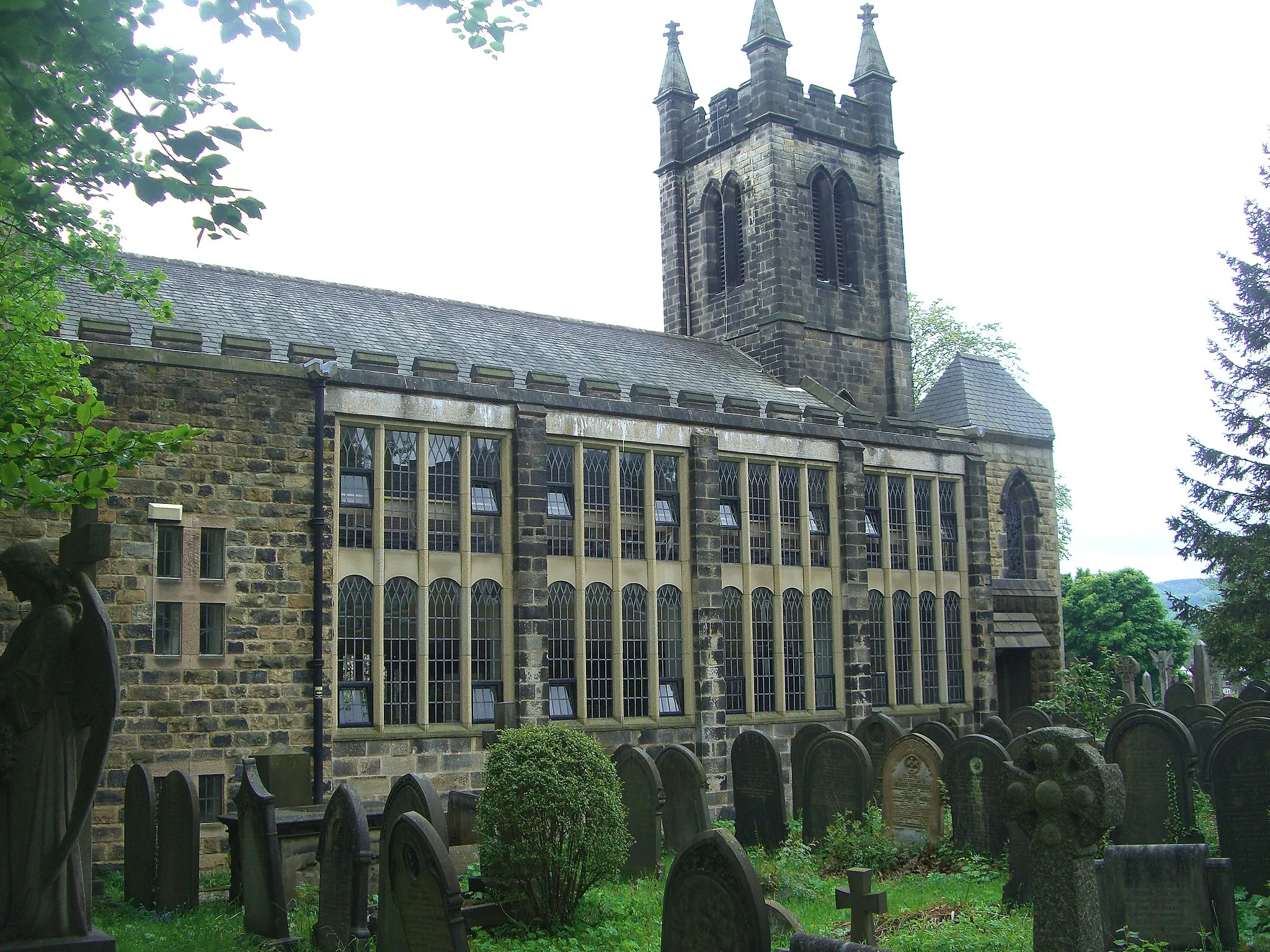
WalkleySub-urbTake a break at Walkley, a vibrant and trendy area in Sheffield known for its indie cafes, trendy shops, and stunning 19th-century architecture.
20 km
20 km
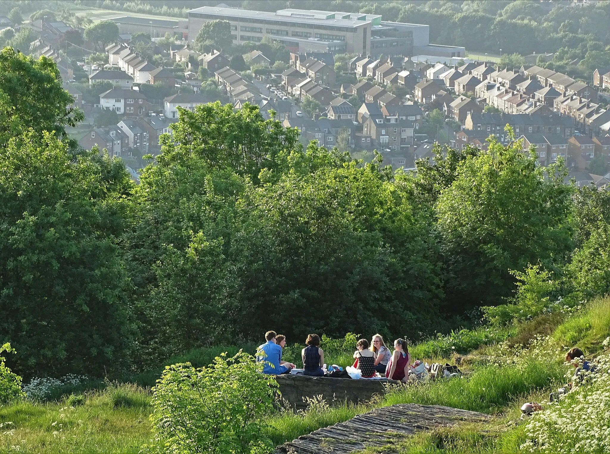
StocksbridgeTownMarvel at the beauty of Stocksbridge, a charming town nestled in the scenic countryside of South Yorkshire.
20 km
20 km
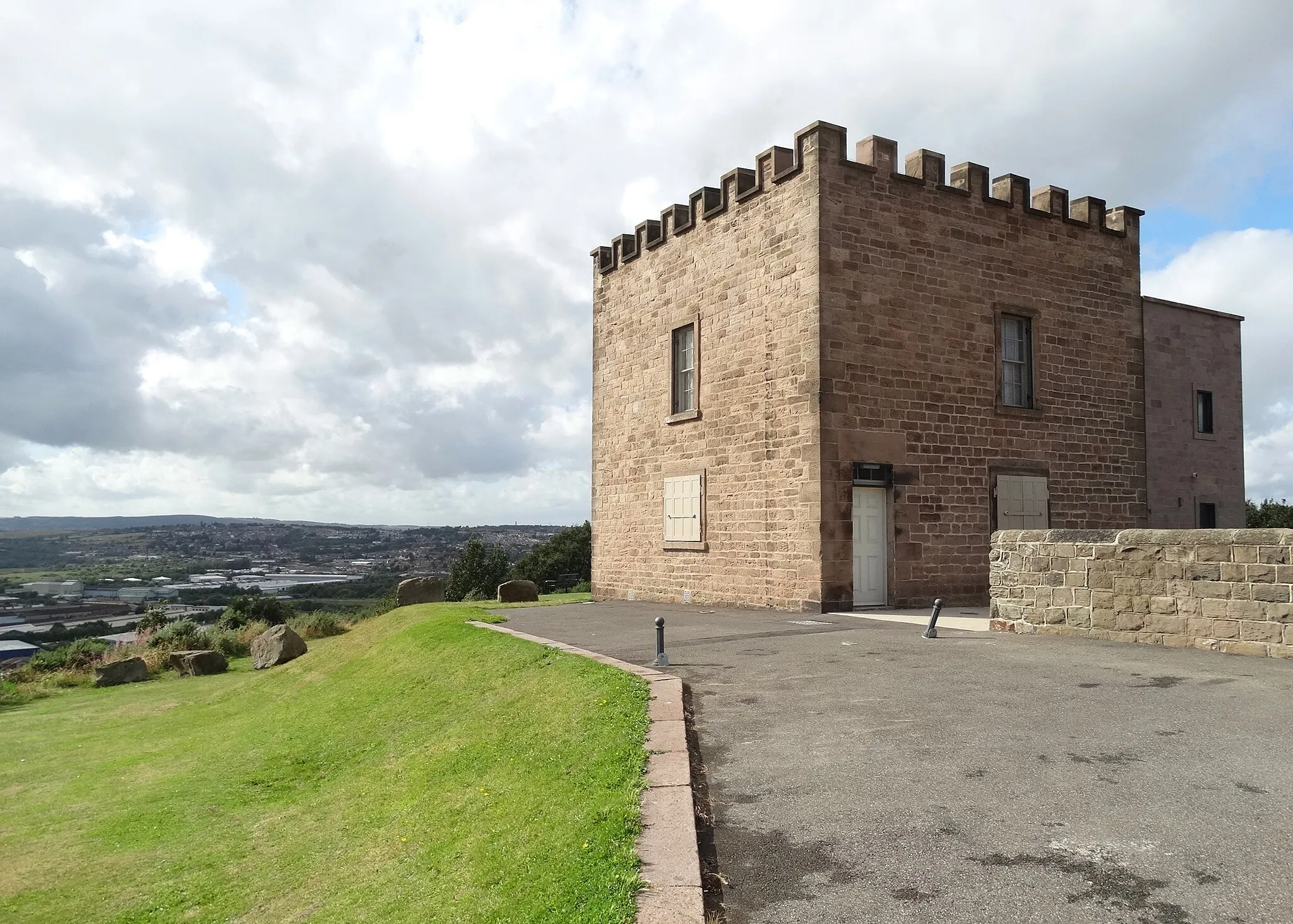
Steel Project View PointViewpointEnjoy the stunning panoramic views from the Steel Project View Point, overlooking the picturesque valleys and hills of South Yorkshire.
37 km
37 km
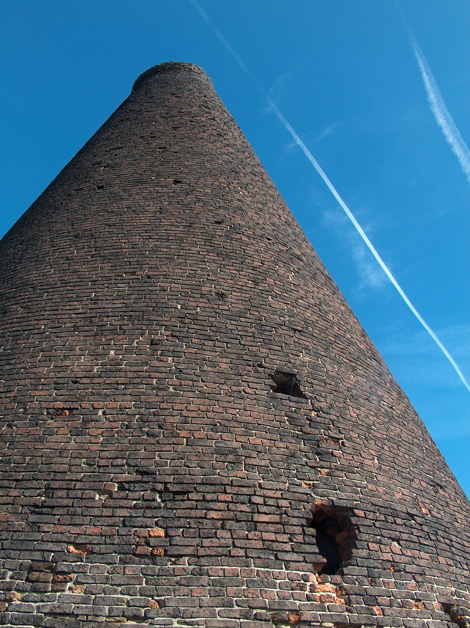
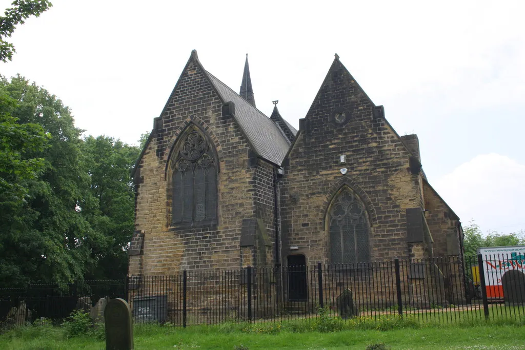
WorsbroughSub-urbVisit Worsbrough and immerse yourself in its industrial heritage, highlighted by the impressive Worsbrough Mill and Reservoir.
40 km
40 km
Stone CircleViewpointDiscover the mystical Stone Circle, located in an enchanting woodland setting near Rotherham.
46 km
46 km
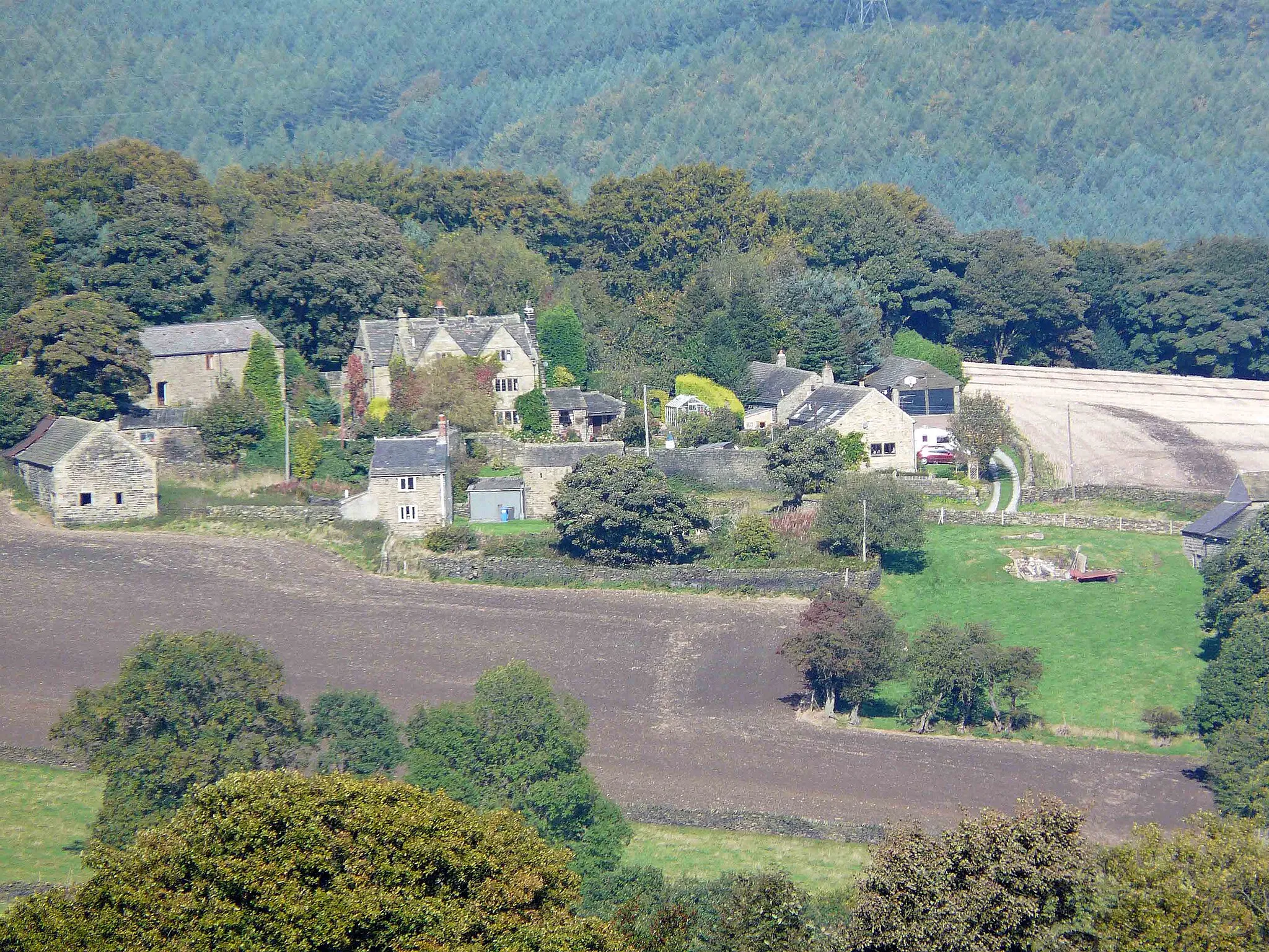
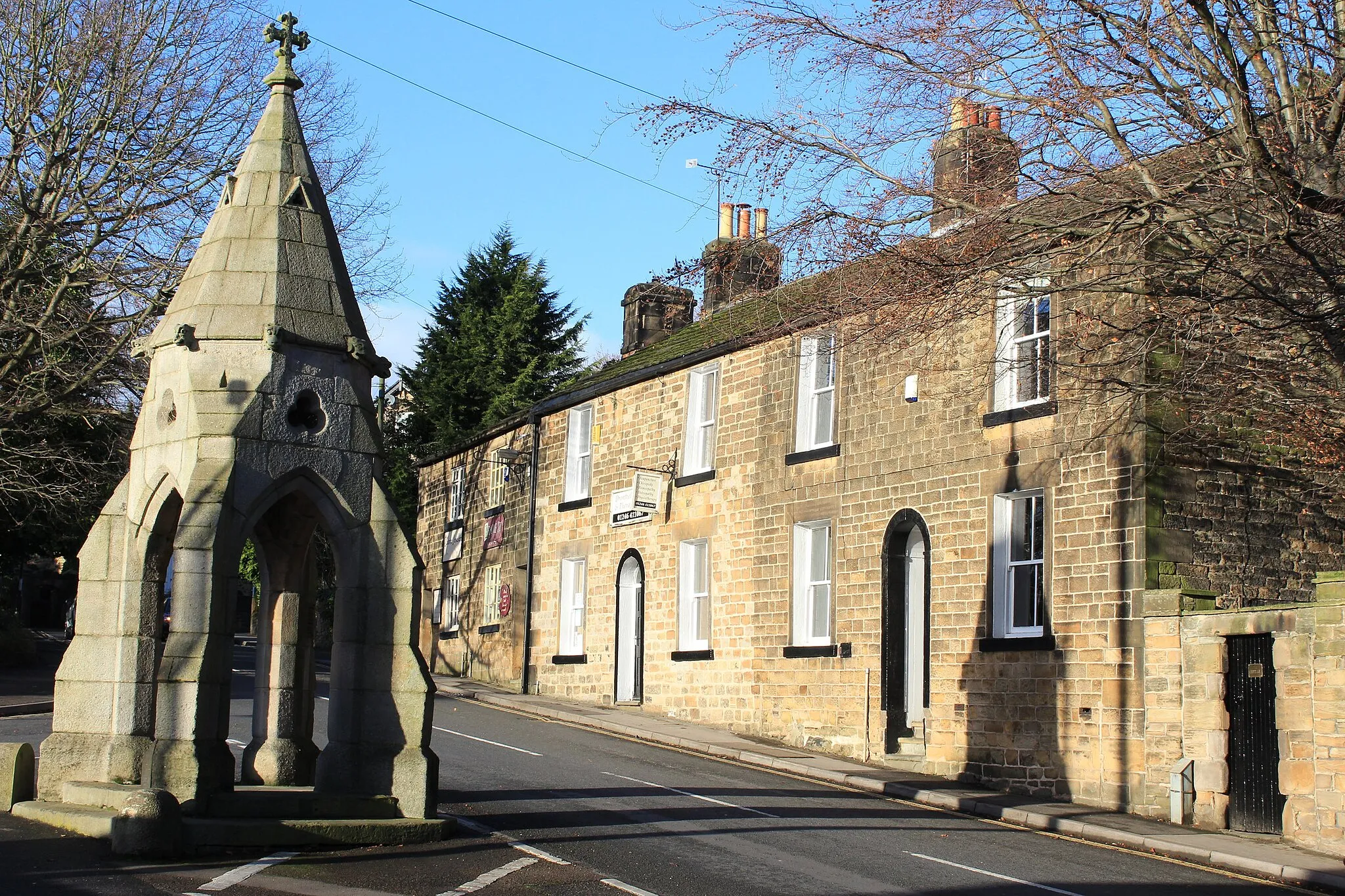
WentworthVillageExplore the historic village of Wentworth and admire its well-preserved stately homes and beautifully manicured gardens.
60 km
60 km
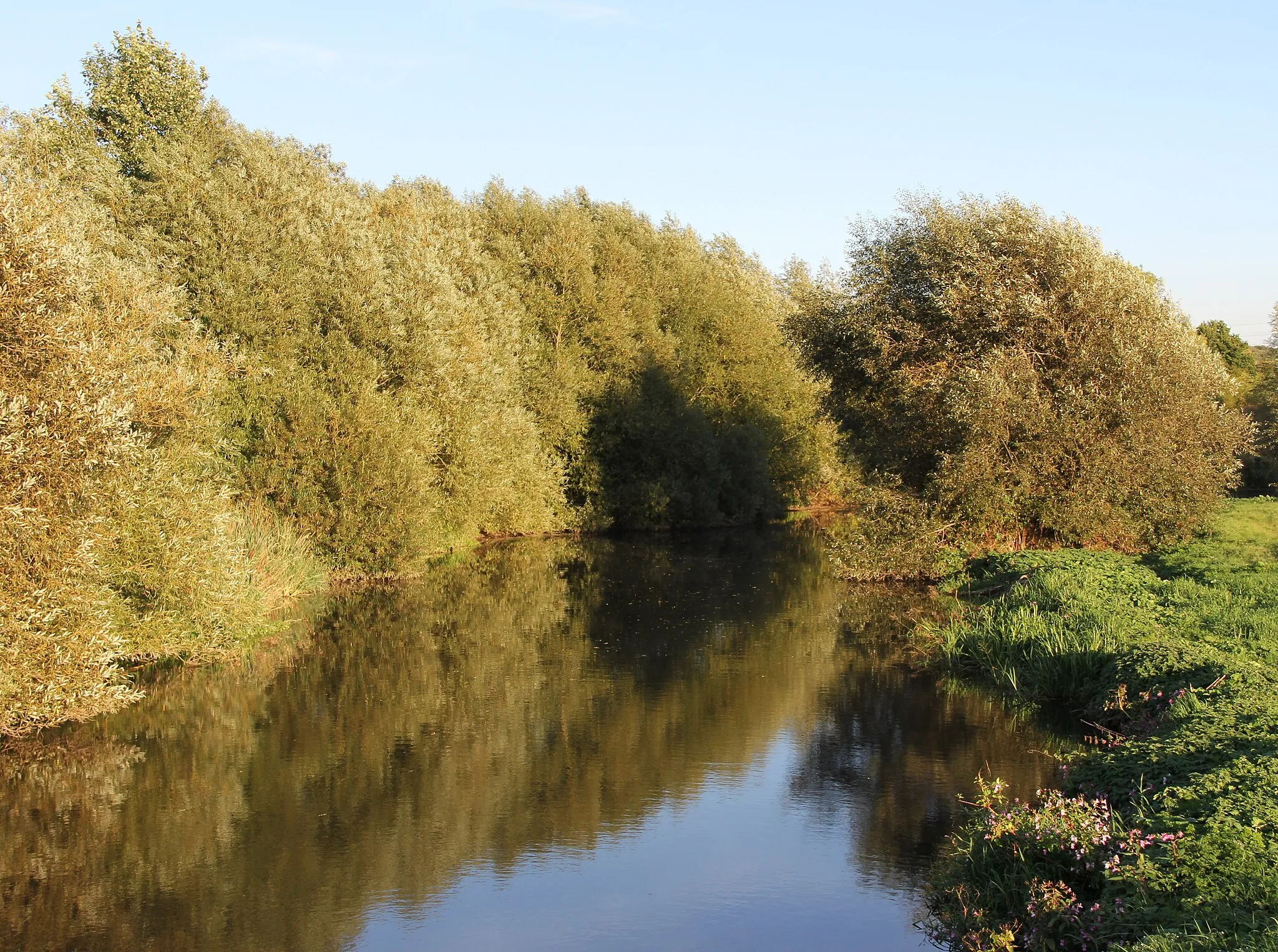
Kelham WeirViewpointAdmire the beauty of Kelham Weir, a picturesque spot known for its tranquil atmosphere and stunning natural surroundings.
61 km
61 km
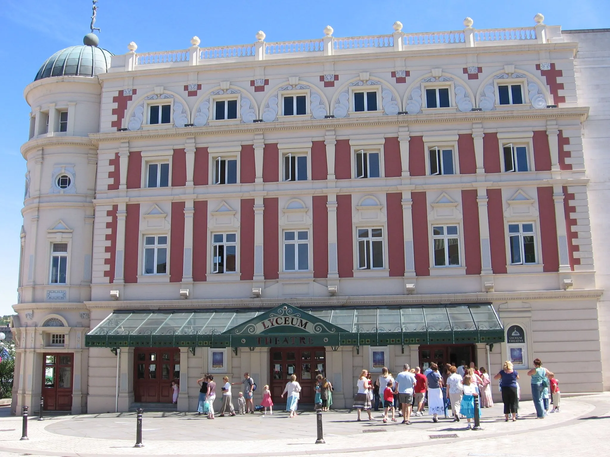
SheffieldCityExplore Sheffield, a vibrant city known for its thriving cultural scene, stunning architecture, and green spaces.
61 km
61 km
Finish: Sheffield City centerBurngreave: Limited cycling opportunities in an urban setting of Burngreave, South Yorkshire.
Cycling routes from Burngreave:
Kelham Weir Gravel Expedition South Yorkshire Road Challenge Scenic Gravel Loop from Burngreave Kelham Weir and Picturesque Villages Don Valley Bowl Gravel Adventure Scenic Countryside and Historic Sites Rotherham Gravel Loop Don Valley Bowl and Historical Landmarks Sheffield Landmarks and Historic Sites Scenic Gravel Road Adventure Sheffield to Worksop Circular
Cycling routes nearby: