East Kilbride Adventure
A road cycling route starting from East Kilbride
Embark on an adventurous road cycling journey starting from East Kilbride, exploring the picturesque landscapes of Southern Scotland.
Map
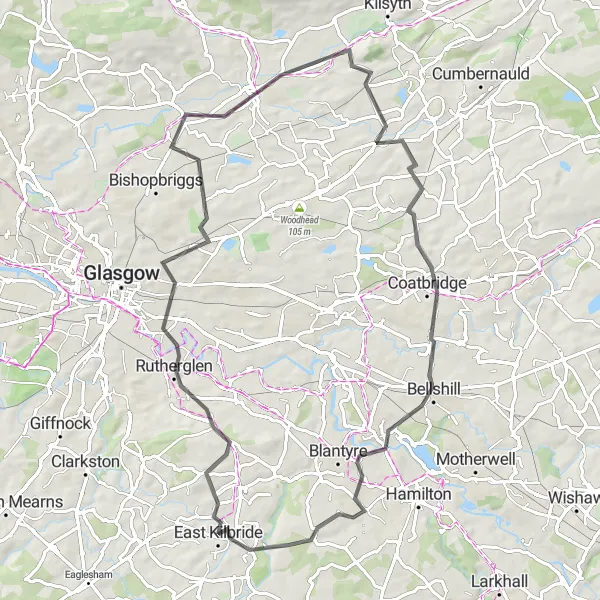
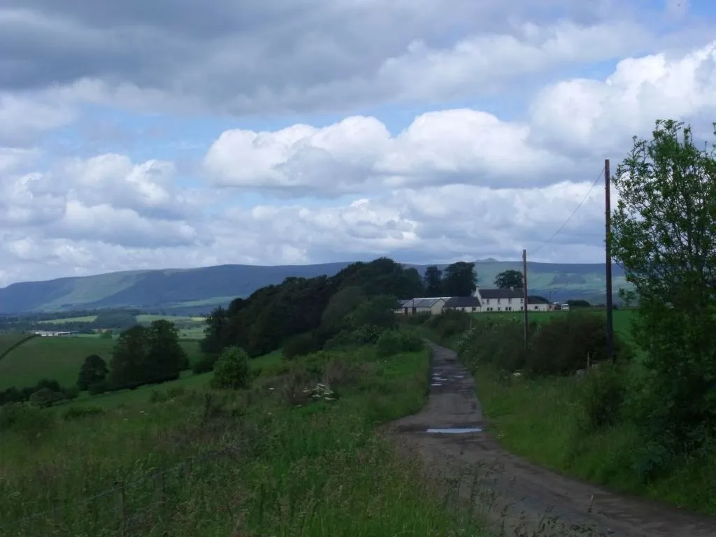
Experience the beauty of Southern Scotland on this thrilling road cycling route starting near East Kilbride. Covering a distance of 70 km and with an ascent of 652 m, this route is perfect for intermediate cyclists looking for a challenging ride. Take in the highlights along the way, including the panoramic views from The Tur Viewing Platform, the charming town of Kirkintilloch, and the ancient remains of Bar Hill. With a difficulty rating of 3 out of 5, this route is suitable for cyclists with some experience.
road
70 km
652 m
Tough
Route profile
Highlights on the route
0 km
0 km
Start: East Kilbride City centerEast Kilbride: Diverse Cycling Adventures in Southern Scotland
East Kilbride is a locality in Southern Scotland, United Kingdom. It offers various cycling opportunities for both road and gravel cyclists. One notable cycling-related spot in the area is South Calder Water, a scenic path popular among local cyclists. East Kilbride also serves as a base for exploring nearby challenging climbs, such as the notorious Tak Ma Doon Road. With its diverse range of cycling routes and proximity to famous climbs, East Kilbride is a desirable destination for cyclists of all levels.0 km
0 km
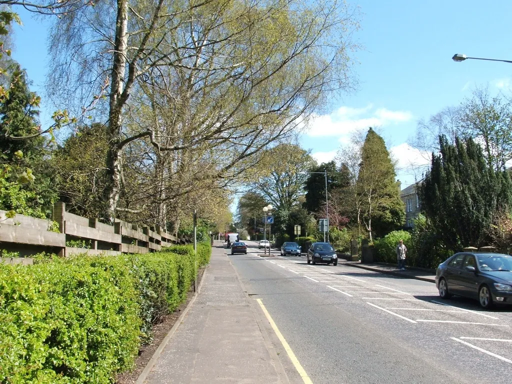
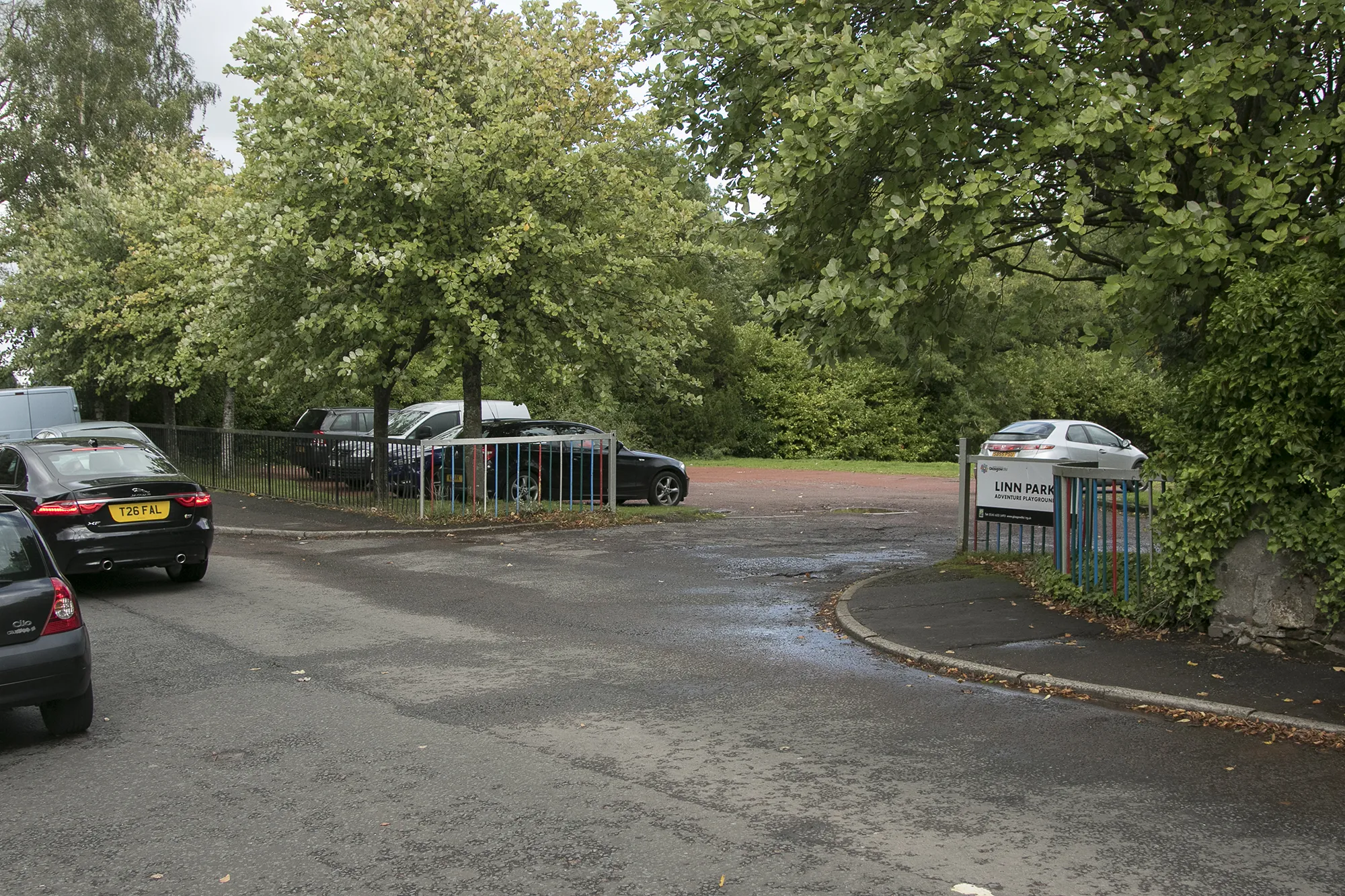
East KilbrideTownEnjoy the scenic beauty of East Kilbride, one of Scotland's largest towns, known for its green spaces and outdoor activities.
11 km
11 km
The Tur Viewing PlatformViewpointStop by The Tur Viewing Platform and take in panoramic views of the surrounding countryside.
28 km
28 km
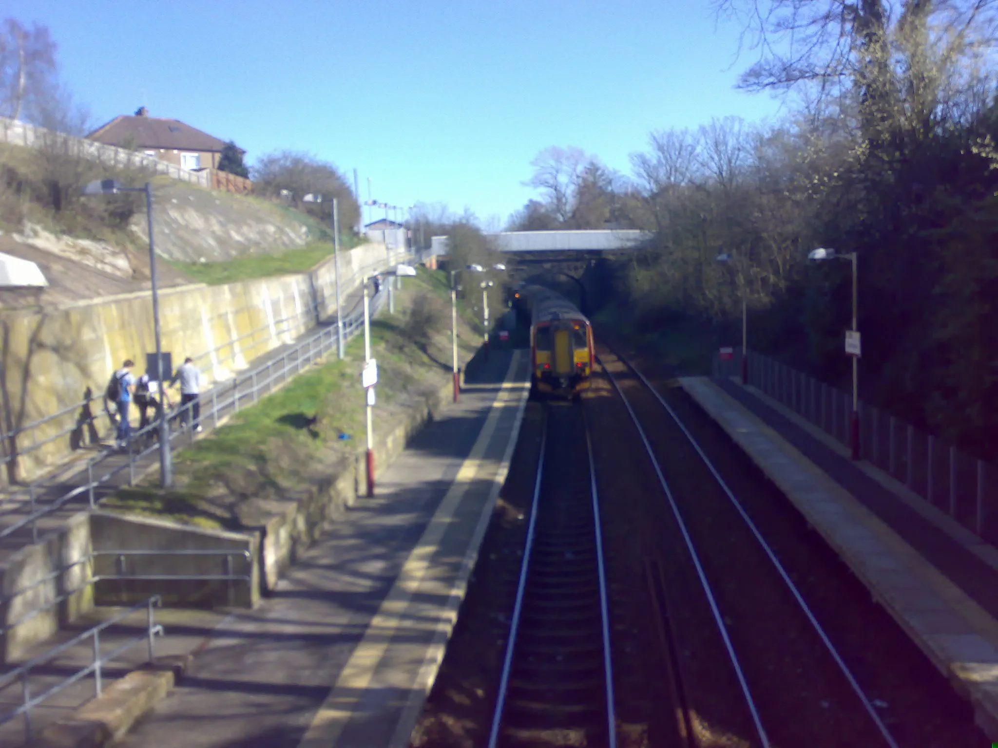
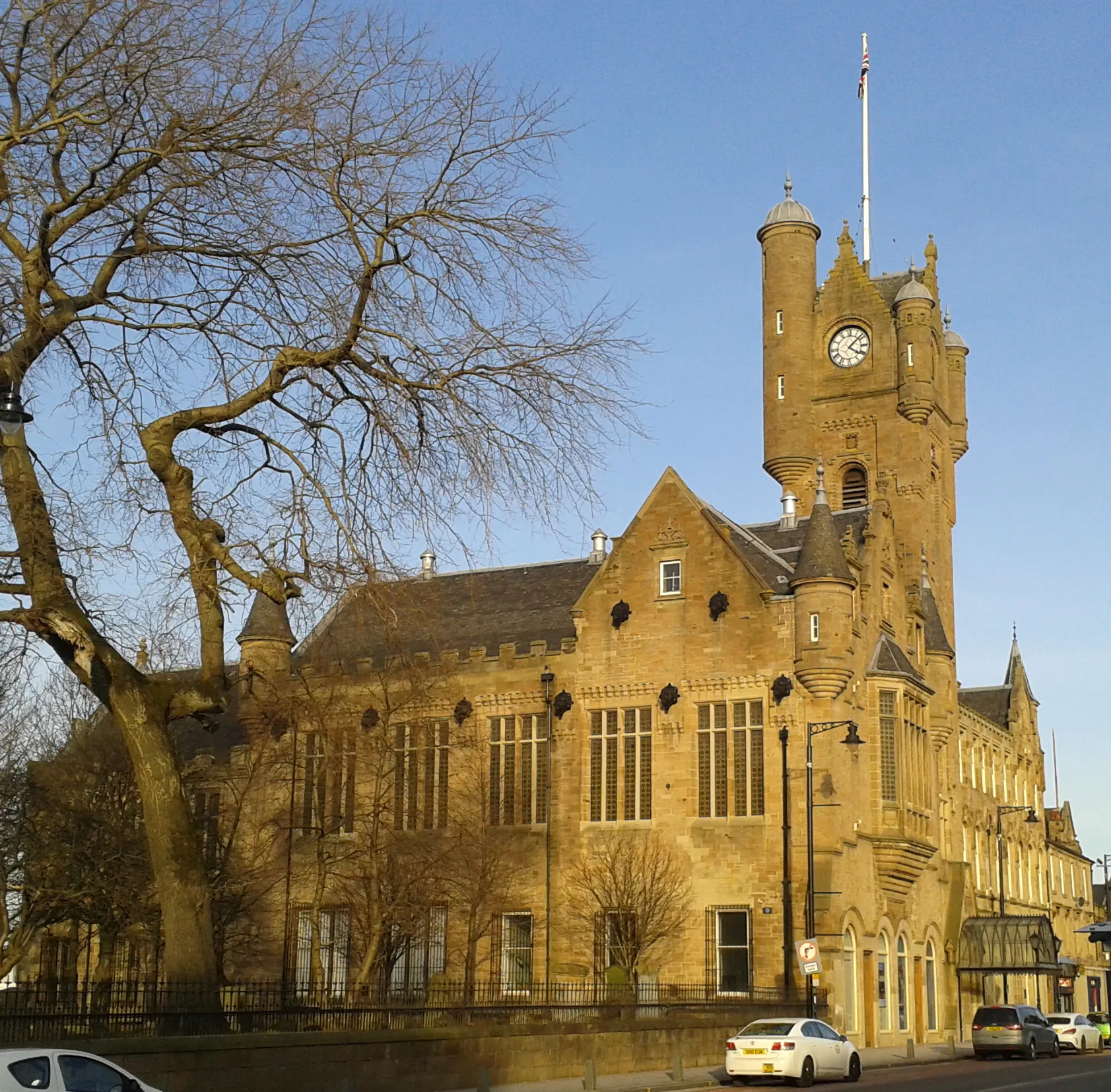
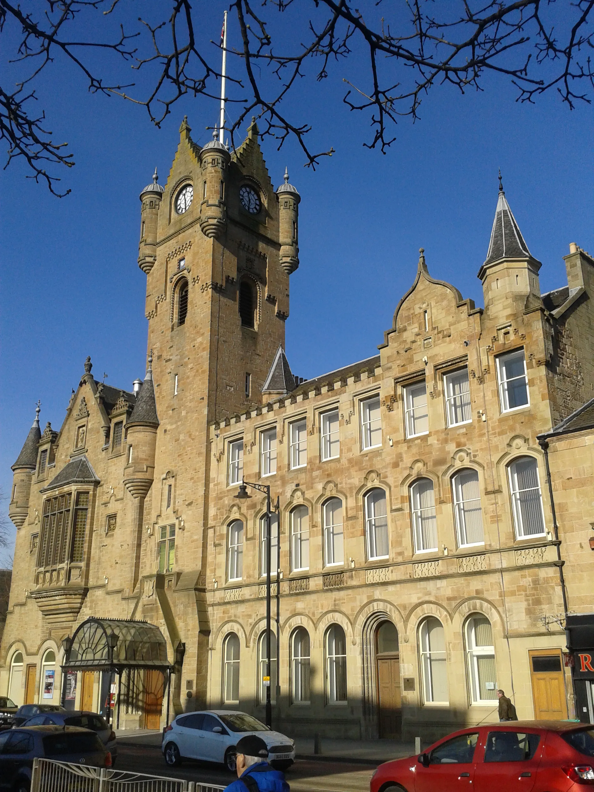
KirkintillochTownExplore Kirkintilloch, a historic town with a rich industrial heritage and vibrant community.
33 km
33 km
Bar Hill161 mPeakVisit Bar Hill, an ancient Roman fort commanding stunning views over the Antonine Wall.
42 km
42 km
Annat Hill111 mPeakDiscover Annat Hill, offering breathtaking vistas over the picturesque countryside of Southern Scotland.
48 km
48 km
CoatbridgeTownCycle through Coatbridge and soak in the vibrant atmosphere of this bustling town.
56 km
56 km
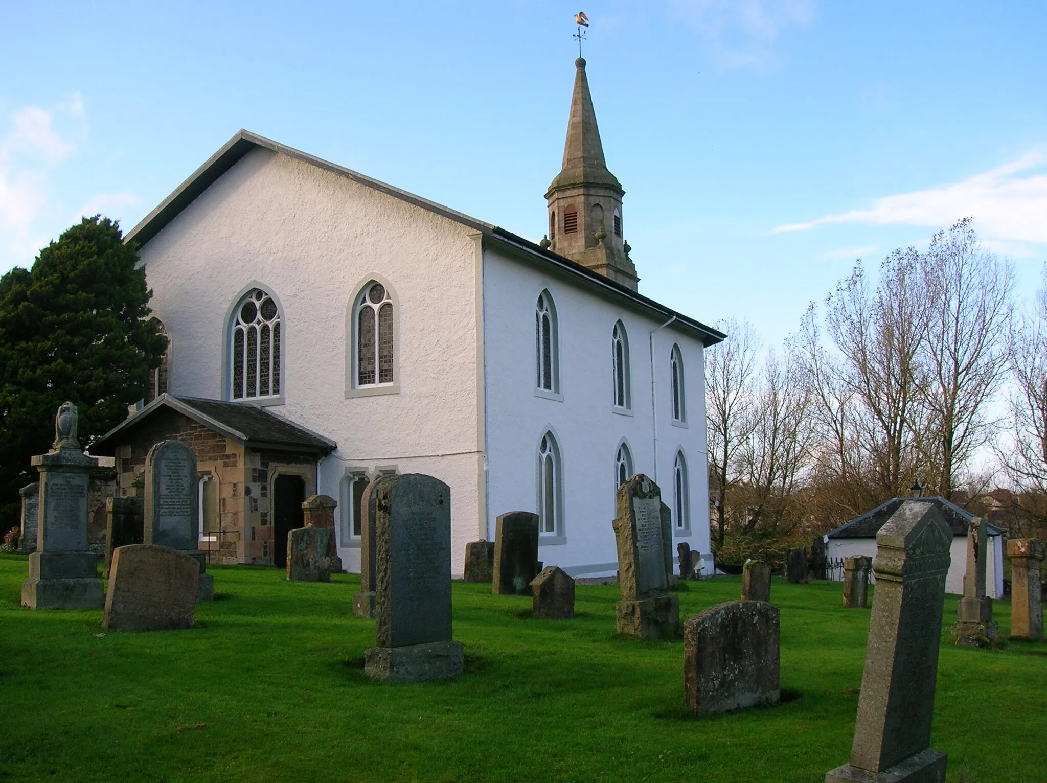
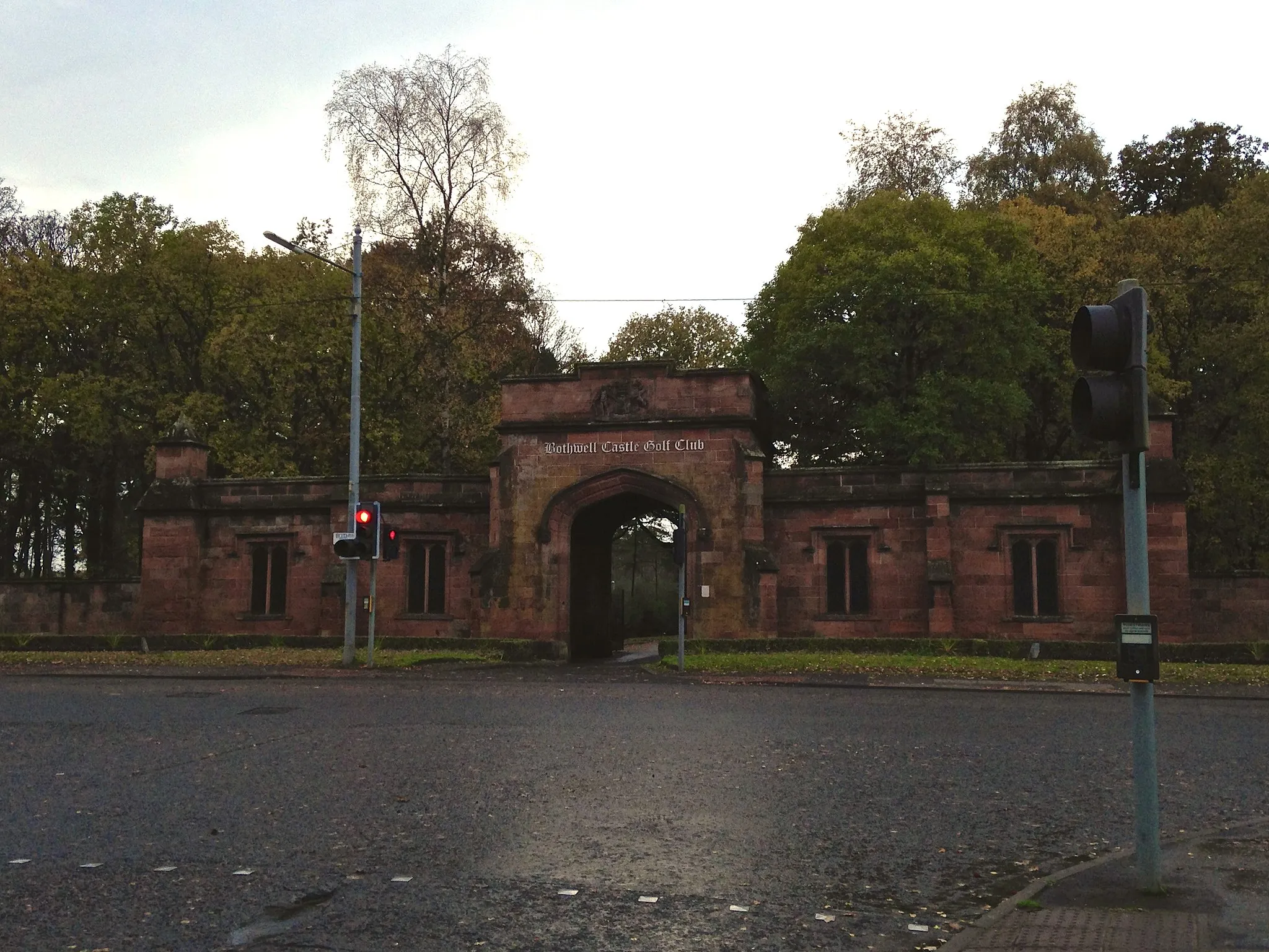
BothwellTownExplore Bothwell, a historic village known for its impressive castle and charming river walks.
70 km
70 km
Finish: East Kilbride City centerEast Kilbride: Diverse Cycling Adventures in Southern Scotland
Cycling routes from East Kilbride:
Cycling routes nearby: