Blackmoorfoot to Huddersfield Observatory Extended Gravel Route
A gravel cycling route starting from Blackmoorfoot
Gravel adventure exploring Huddersfield Observatory and beyond
Map
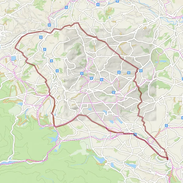
Embark on an extended gravel adventure from Blackmoorfoot to the famous Huddersfield Observatory. This 65km route offers a challenging ascent of 1091m, making it suitable for experienced gravel cyclists seeking a thrilling ride. Along the way, enjoy stunning views from Royd Moor Viewing Point and pedal through the picturesque towns of Oxspring and Hoylandswaine. This route's difficulty level is 4, allowing for a rewarding challenge. With an epicness score of 4, enjoy breathtaking scenery and unique highlights throughout your journey.
gravel
65 km
1091 m
Tough
Route profile
Highlights on the route
0 km
0 km
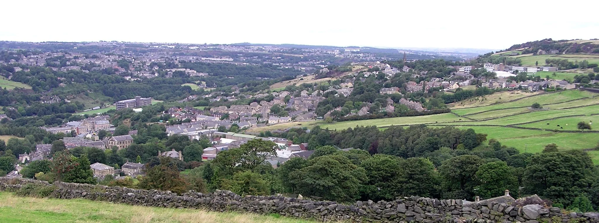
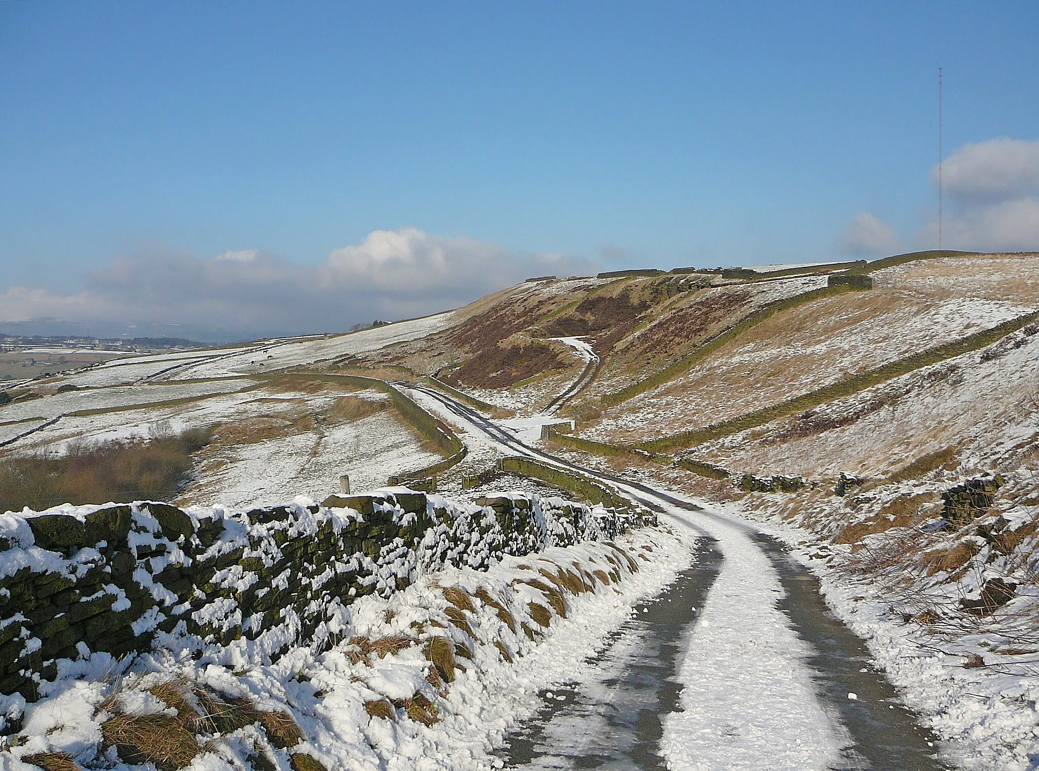
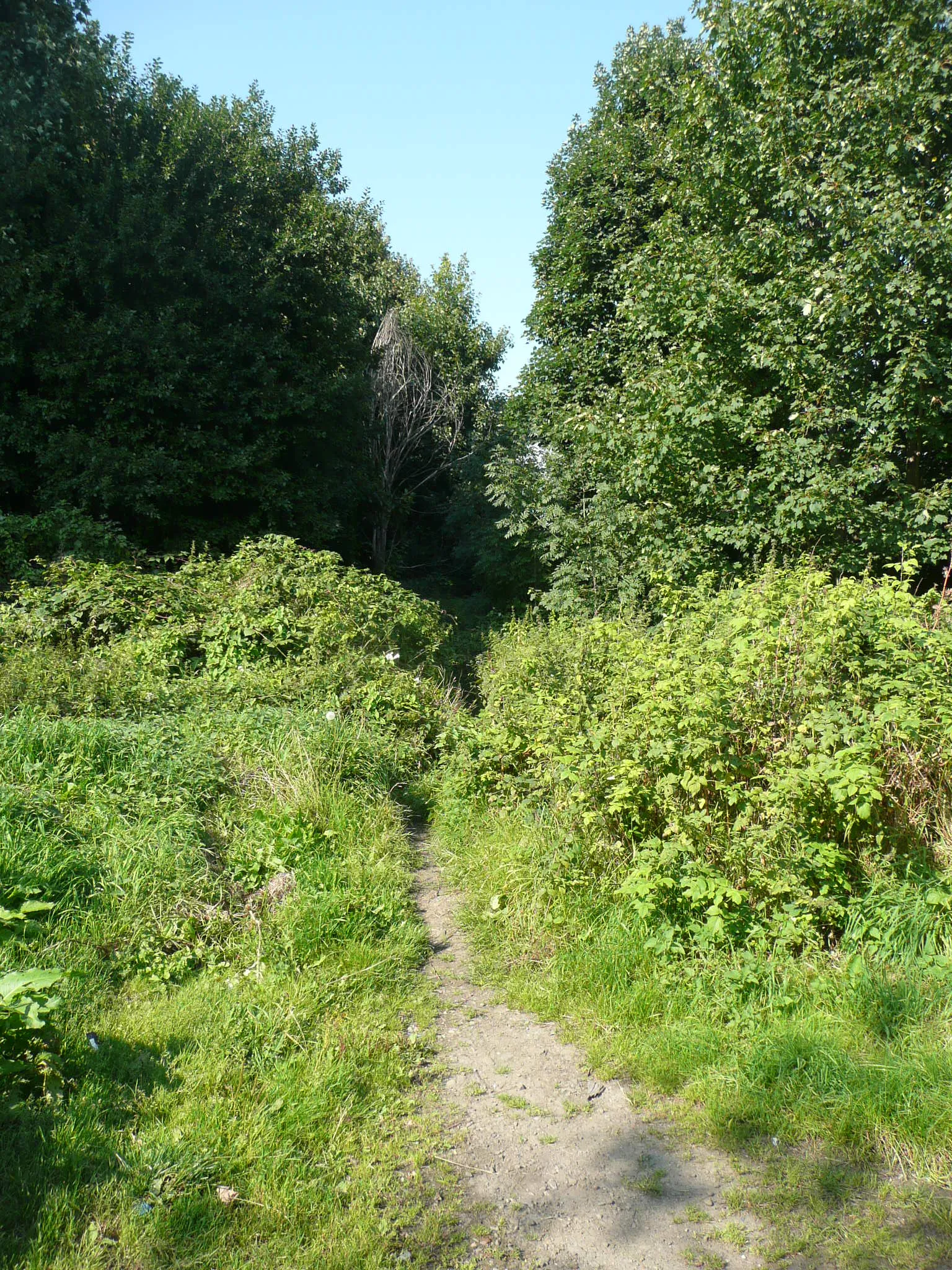
Start: Linthwaite Village centerBlackmoorfoot: Challenging climbs and breathtaking views await cyclists in Blackmoorfoot.
Blackmoorfoot, located in West Yorkshire, United Kingdom, offers a diverse and challenging cycling experience for road and gravel cyclists. Nestled in the beautiful Pennines, Blackmoorfoot boasts steep climbs, winding roads, and stunning panoramic views. One of the notable climbs in the area is Holme Moss, a legendary climb that has been featured in professional cycling races. The region also offers a mix of off-road trails and scenic routes through picturesque Yorkshire villages. With its challenging terrain and beautiful landscapes, Blackmoorfoot is a top destination for cyclists seeking an adventure.0 km
0 km
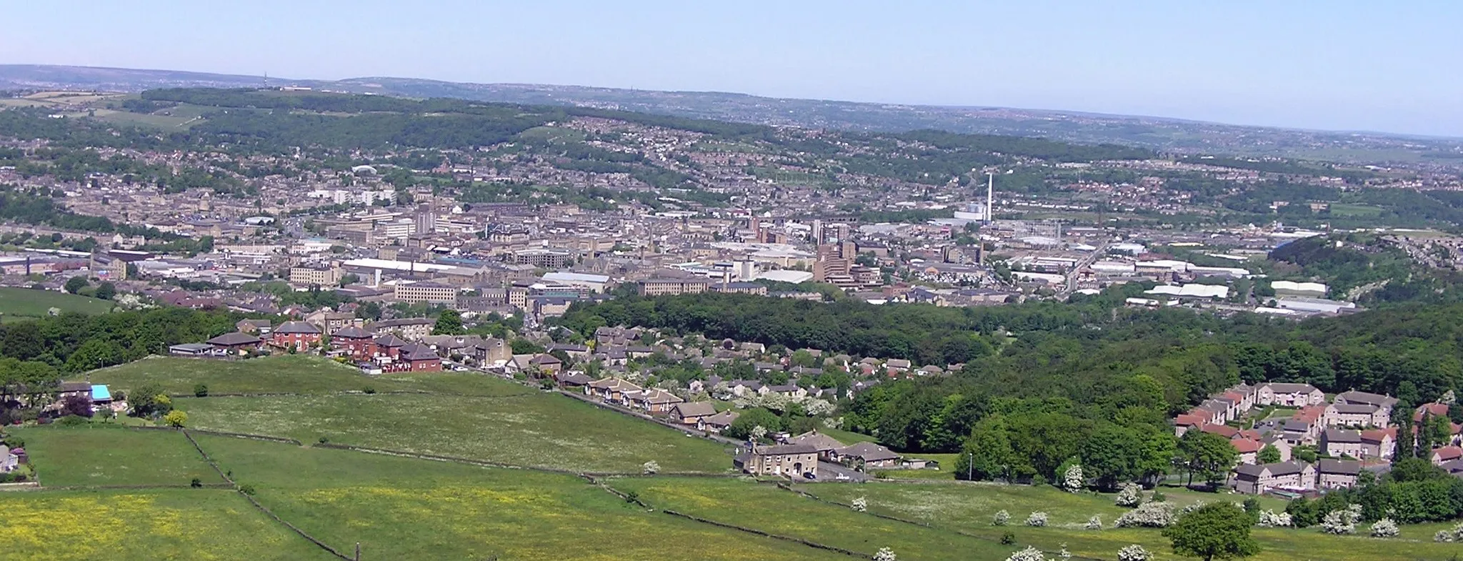
Huddersfield ObservatoryViewpointImmerse yourself in the beauty of the Huddersfield Observatory, offering incredible panoramic views and a fascinating history.
21 km
21 km
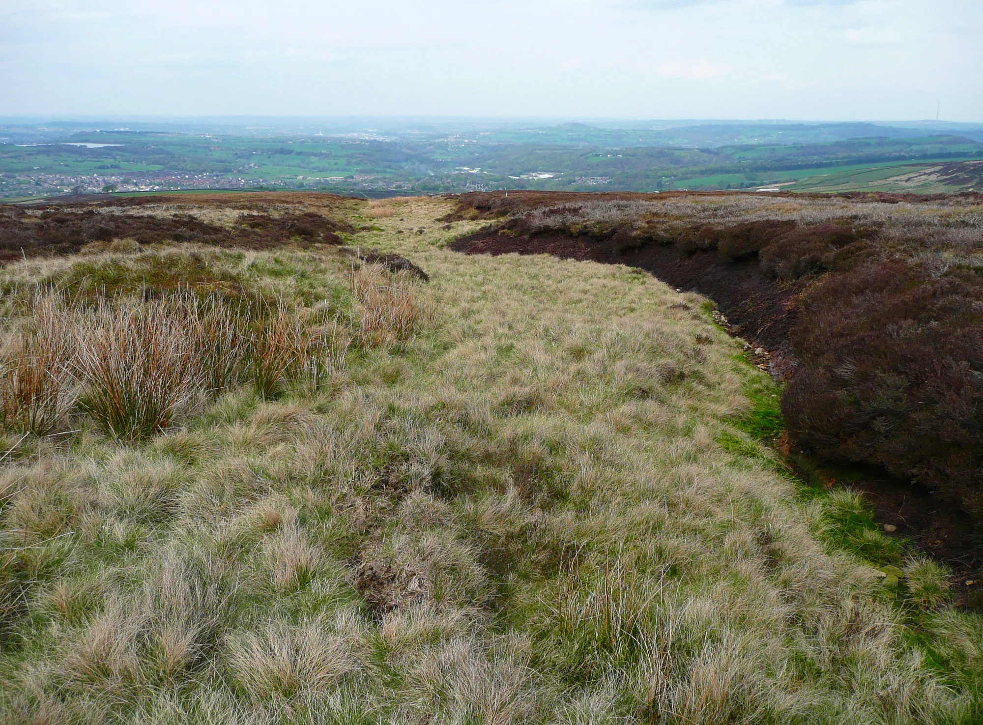
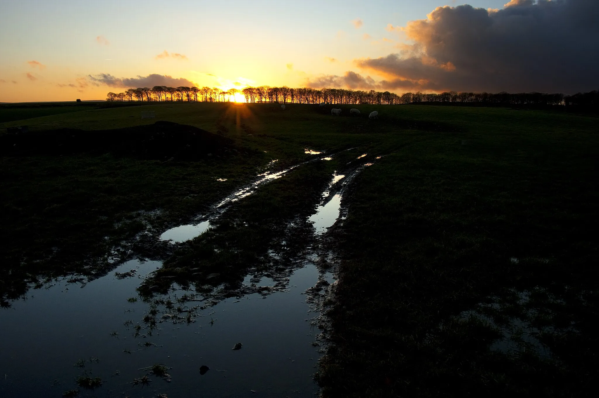
Royd Moor Viewing PointViewpointMake a stop at Royd Moor Viewing Point and bask in panoramic views of the rolling hills and breathtaking landscapes.
27 km
27 km
OxspringVillageOxspring invites you to explore its picturesque canal and historic architecture, providing a tranquil stop along the route.
37 km
37 km
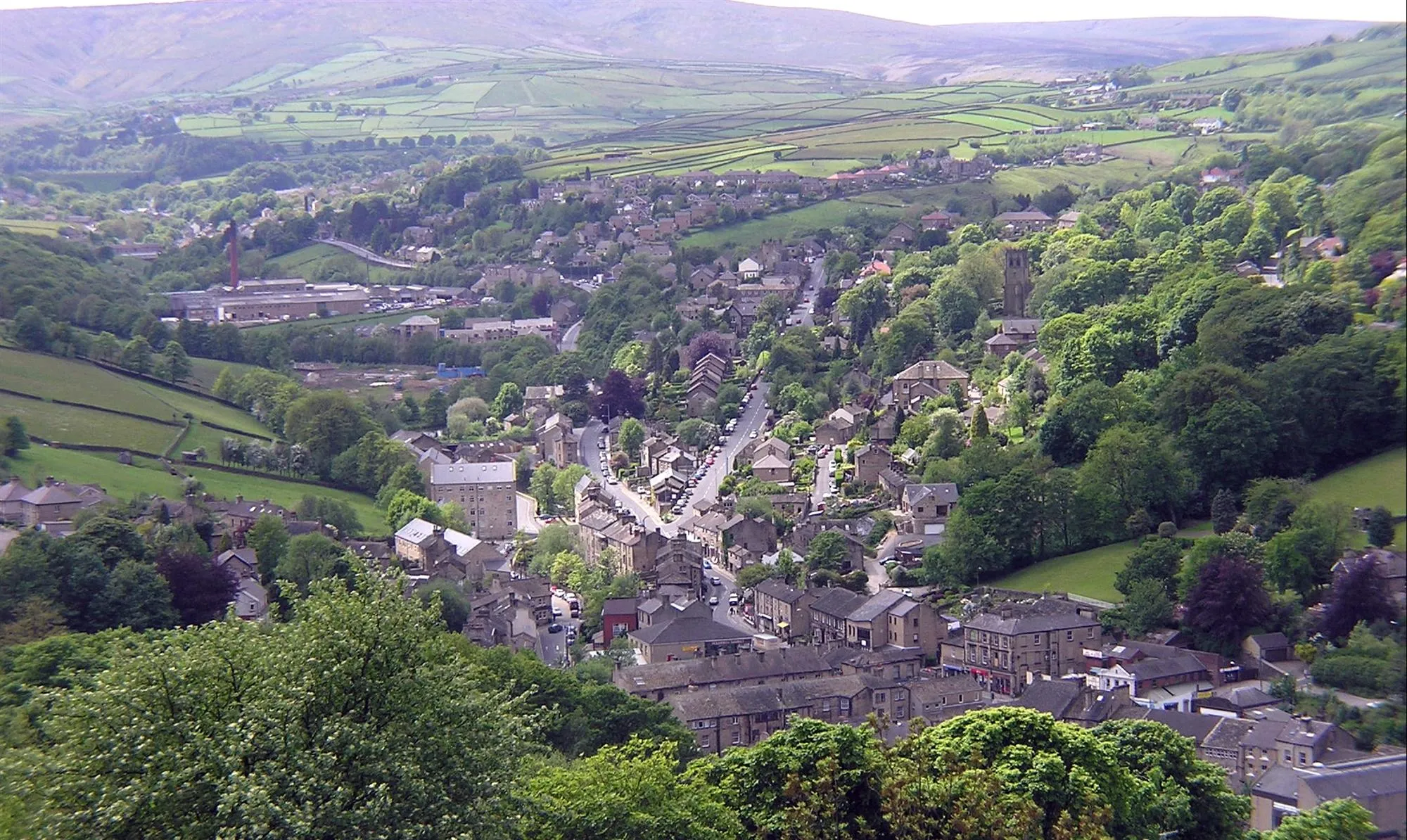
HoylandswaineVillageAs you cycle through Hoylandswaine, take in the charming village's quiet streets and admire the unique architecture.
42 km
42 km
Deffer Hill224 mPeakDeffer Hill offers a challenging climb along this route, rewarding you with astonishing vistas at the peak.
58 km
58 km
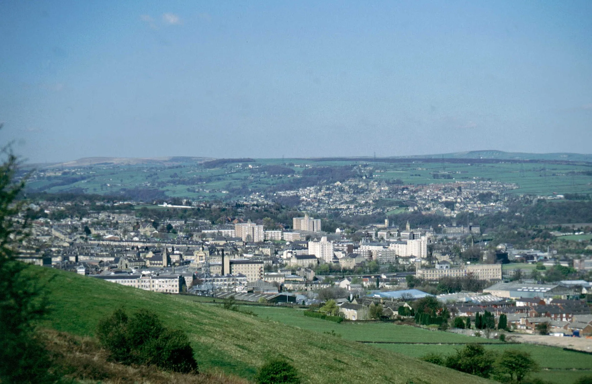
MoldgreenSub-urbLocated in a picturesque valley, Moldgreen is a delightful spot to take a break and refuel.
65 km
65 km
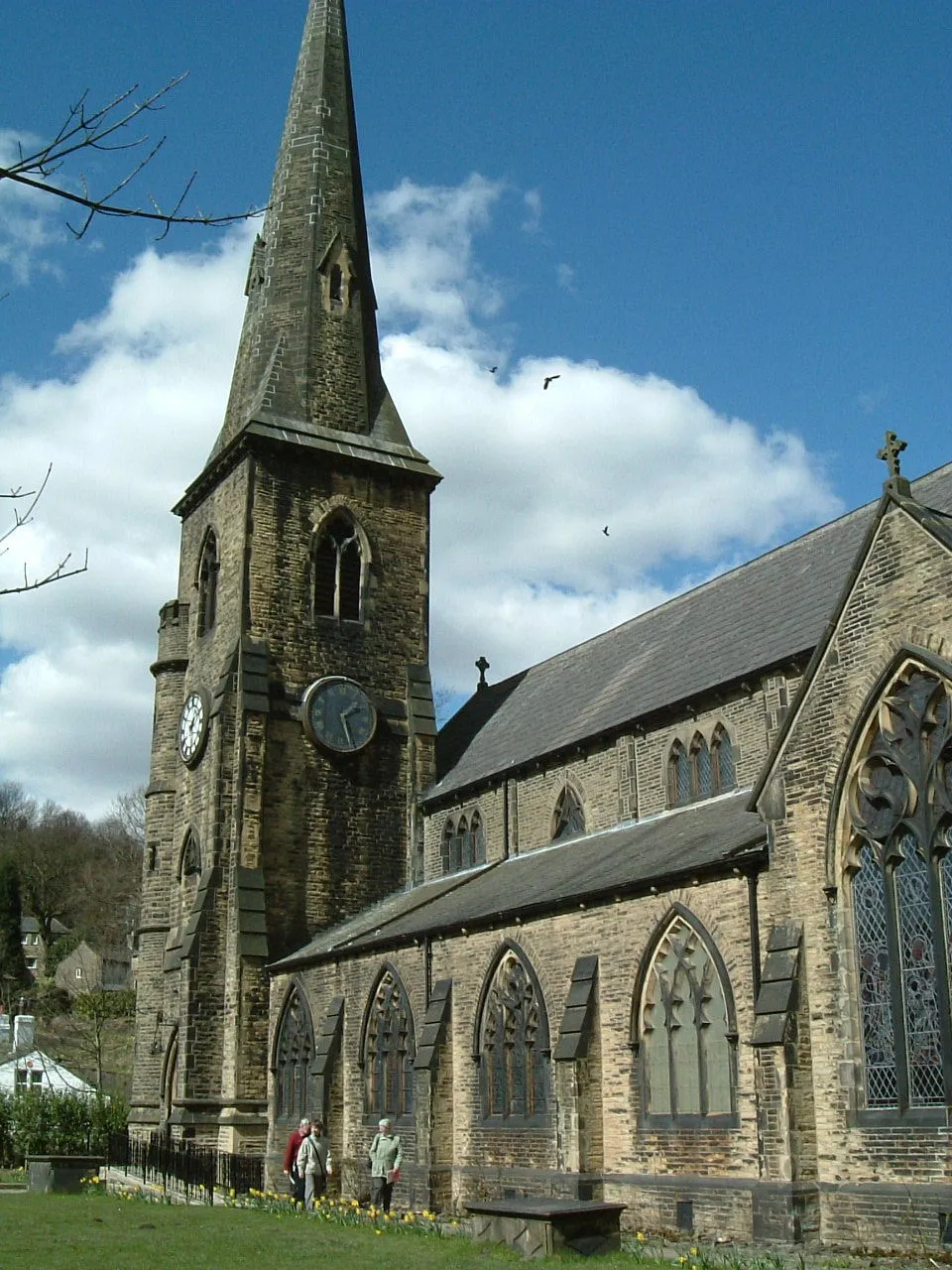
LinthwaiteVillageLinthwaite is known for its stunning landscapes and rolling hills, providing an ideal backdrop for your ride.
65 km
65 km
Finish: Linthwaite Village centerBlackmoorfoot: Challenging climbs and breathtaking views await cyclists in Blackmoorfoot.
Cycling routes from Blackmoorfoot:
Blackmoorfoot Gravel Loop Blackmoorfoot to Huddersfield Observatory Gravel Route Linthwaite Loop Meltham and Peak Naze Adventure Dewsbury and Lundwood Circular Around Linthwaite and Bradford Blackmoorfoot to Meltham Road Route Blackmoorfoot to Huddersfield Observatory Extended Gravel Route Blackmoorfoot to Boulderclough Road Route Blackmoorfoot to Netherton Gravel Route
Cycling routes nearby: