Meltham and Peak Naze Adventure
A road cycling route starting from Blackmoorfoot
Embark on an adventurous journey to Meltham and conquer Peak Naze
Map
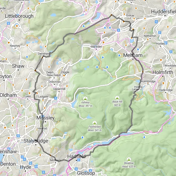
This road route will take you through challenging terrains and provide breathtaking views. With an ascent of 1284 meters, the 67-kilometer journey is suitable for experienced cyclists. Don't forget to stop by Meltham, a delightful village, and conquer the iconic Peak Naze.
road
67 km
1284 m
Tough
Route profile
Highlights on the route
0 km
0 km
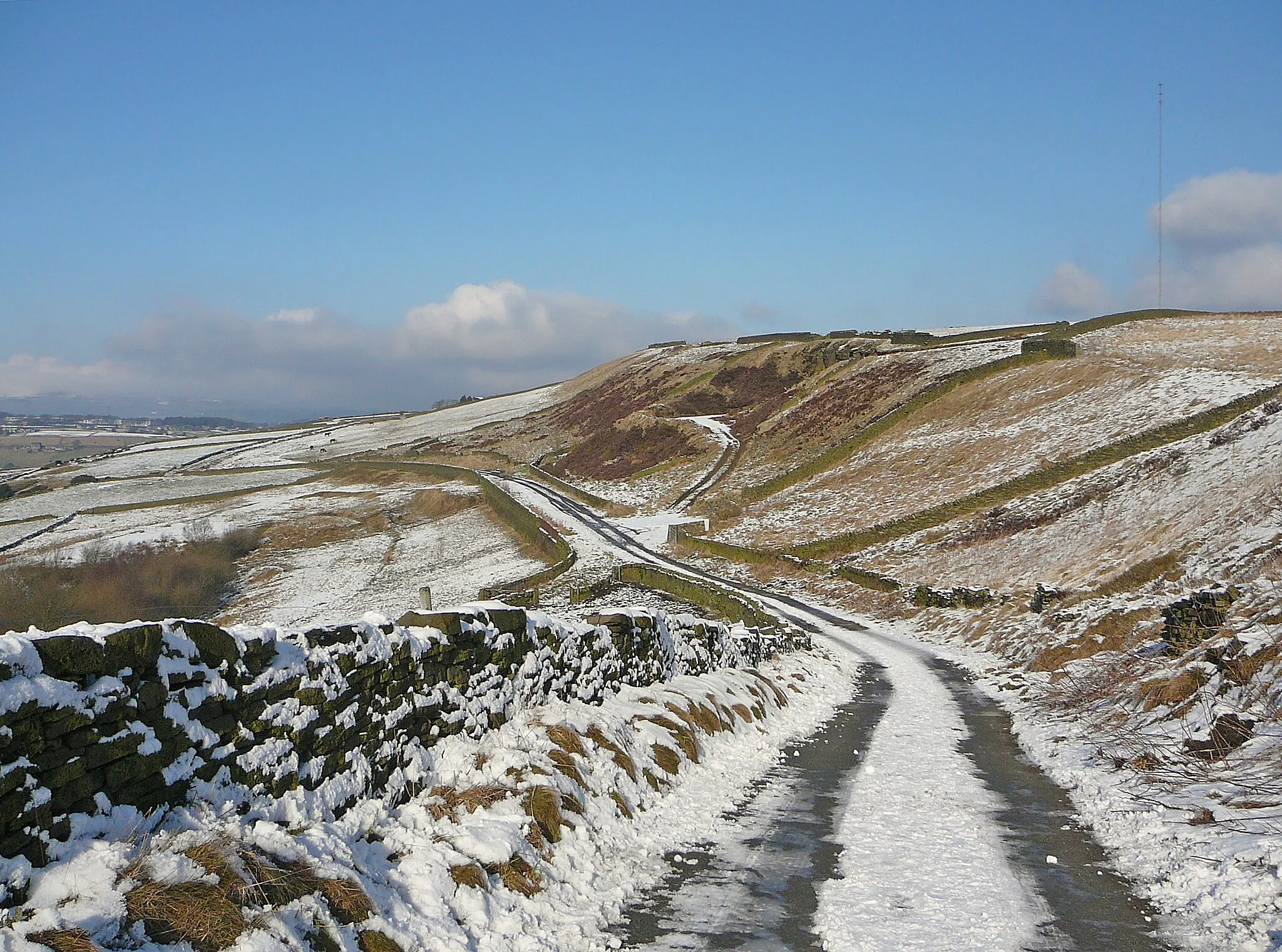
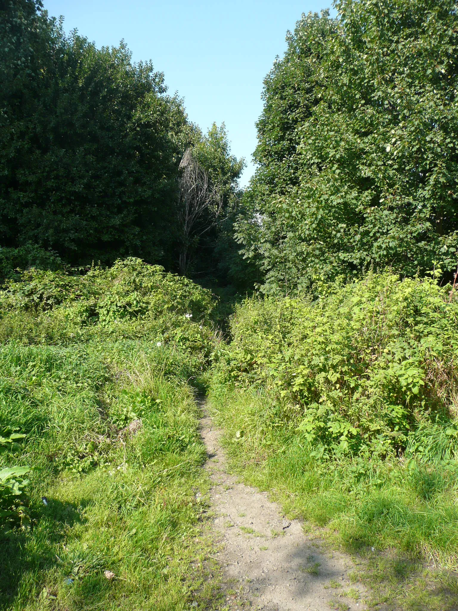
Start: Linthwaite Village centerBlackmoorfoot: Challenging climbs and breathtaking views await cyclists in Blackmoorfoot.
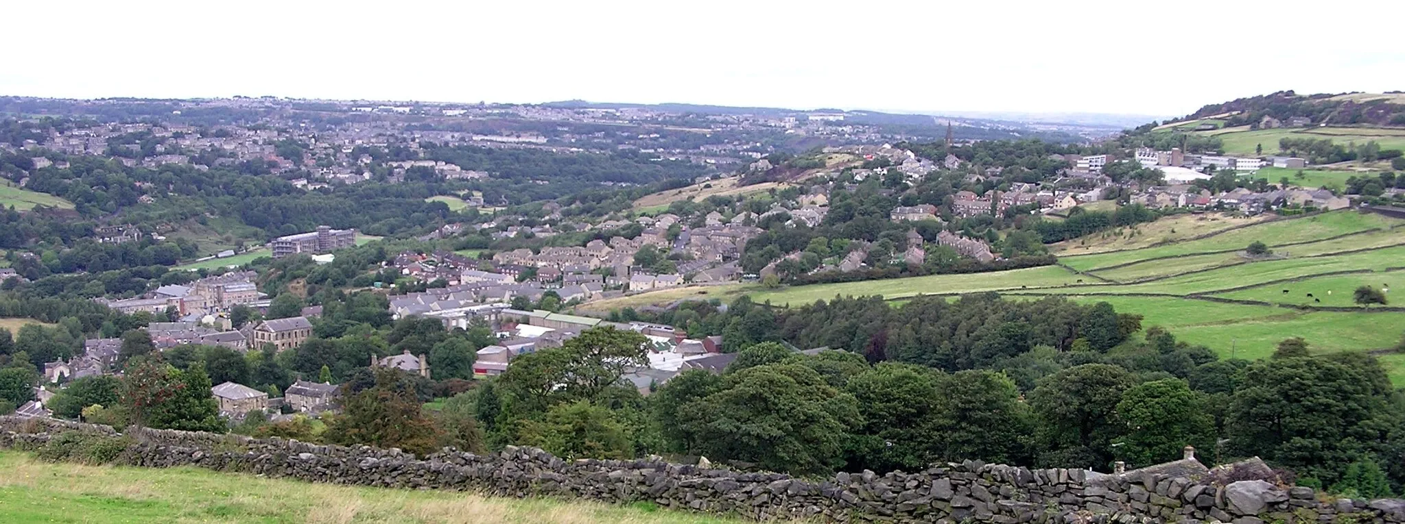
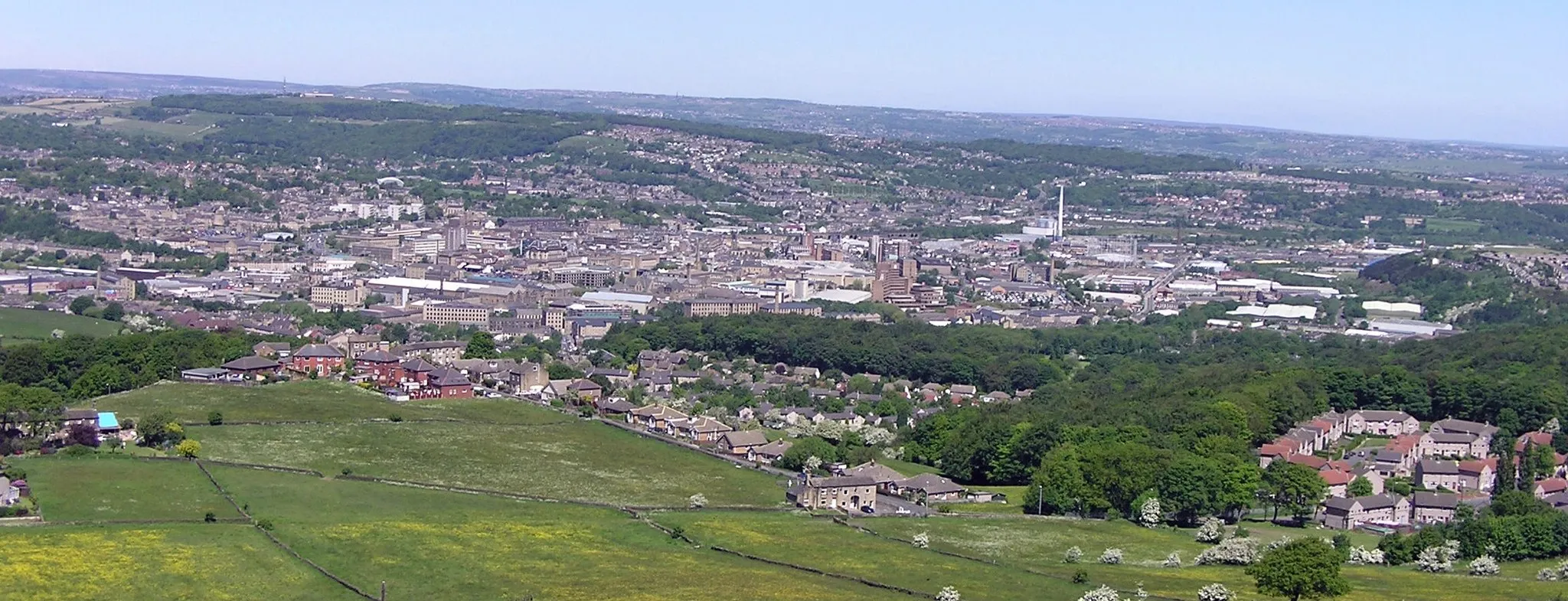
Blackmoorfoot, located in West Yorkshire, United Kingdom, offers a diverse and challenging cycling experience for road and gravel cyclists. Nestled in the beautiful Pennines, Blackmoorfoot boasts steep climbs, winding roads, and stunning panoramic views. One of the notable climbs in the area is Holme Moss, a legendary climb that has been featured in professional cycling races. The region also offers a mix of off-road trails and scenic routes through picturesque Yorkshire villages. With its challenging terrain and beautiful landscapes, Blackmoorfoot is a top destination for cyclists seeking an adventure.0 km
0 km
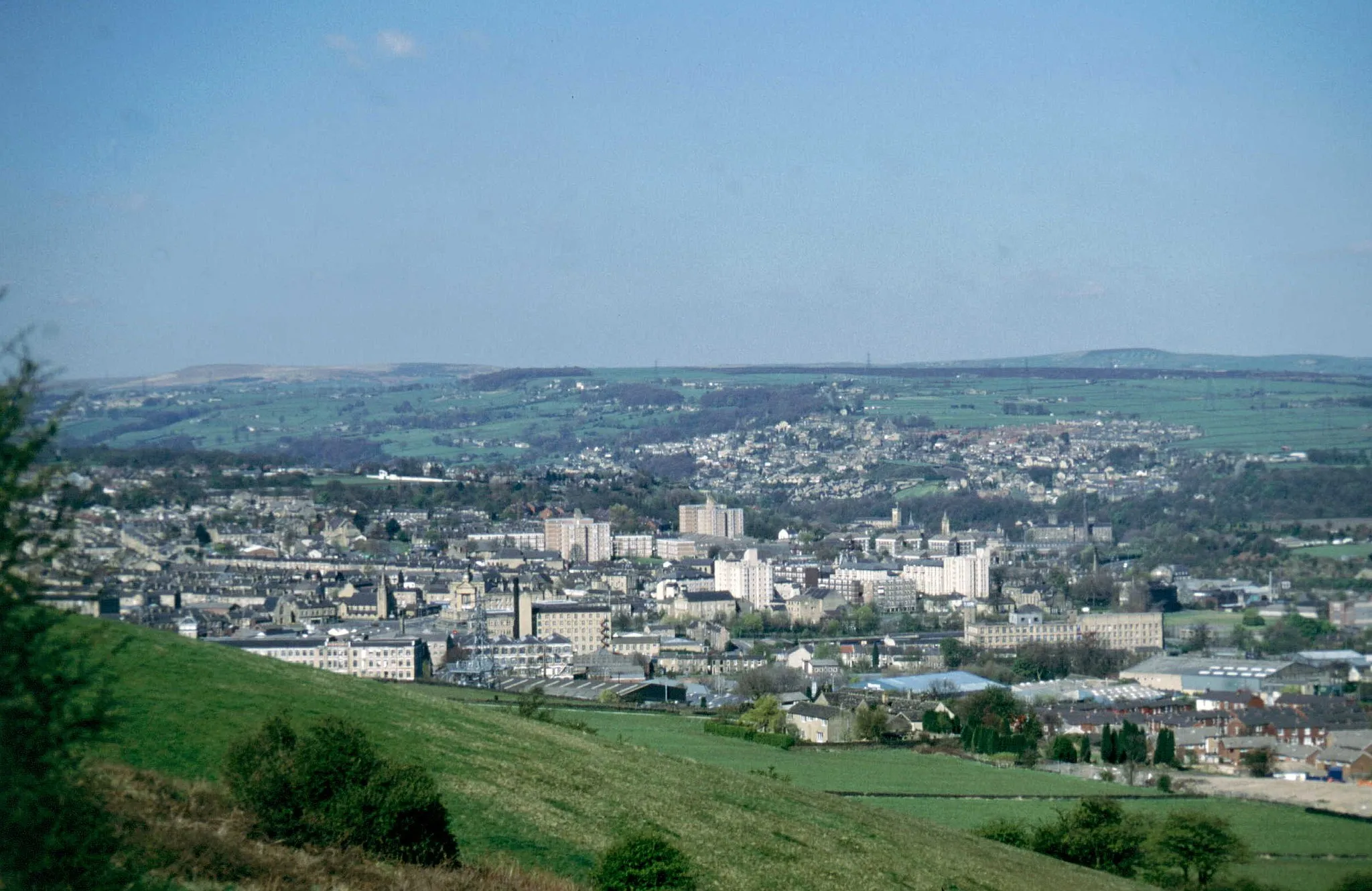
Huddersfield ObservatoryViewpointHuddersfield Observatory offers panoramic views over the town and surrounding countryside. A must-visit spot for nature lovers.
5 km
5 km
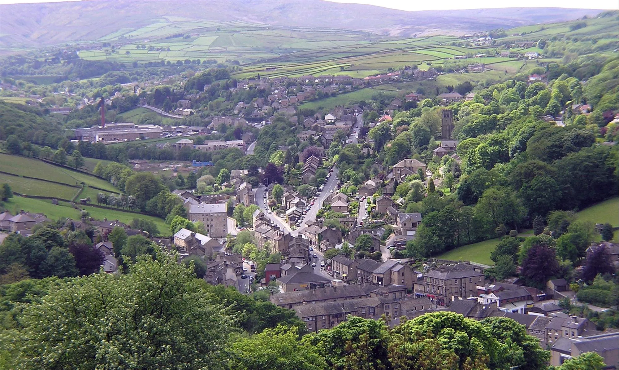
MelthamTownMeltham is a charming village known for its beautiful surroundings, quaint shops, and enticing local cuisine.
10 km
10 km
HolmeVillageHolme is a picturesque village with stunning old buildings and tranquil settings.
17 km
17 km
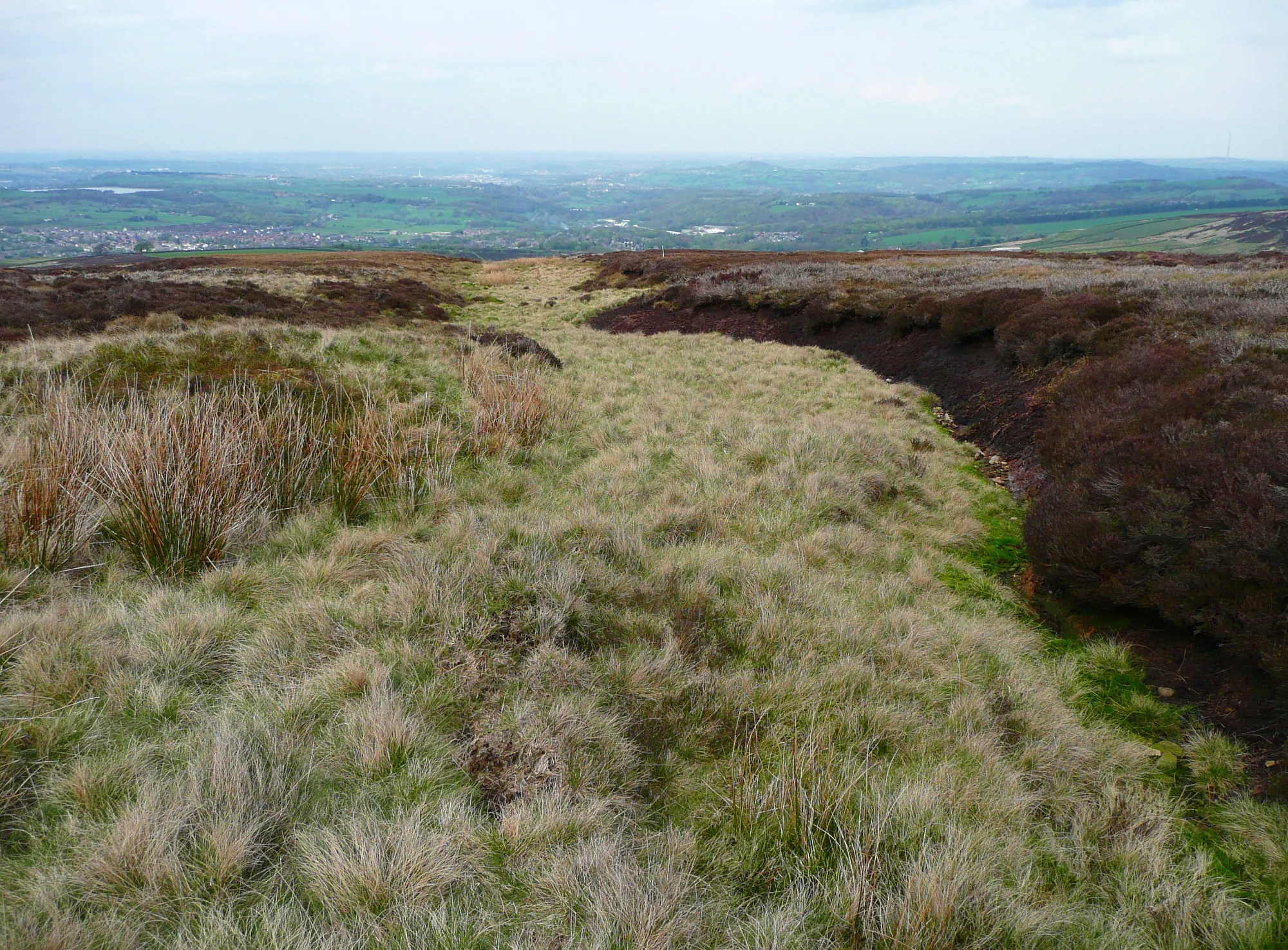
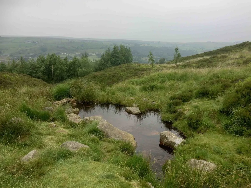
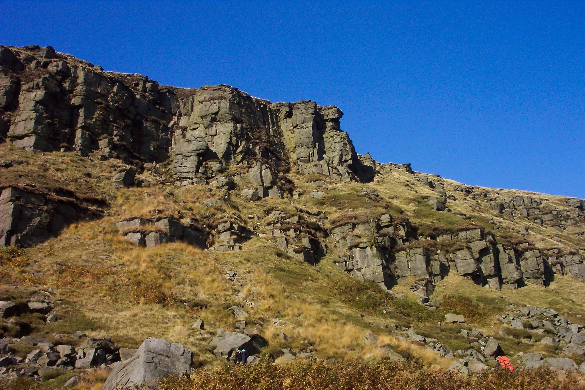
Pikenaze Hill371 mPeakPikenaze Hill is a challenging climb that rewards you with stunning views of the surrounding areas.
24 km
24 km
Peak Naze385 mPeakPeak Naze rewards you with breathtaking views of the expansive countryside after a challenging ascent.
37 km
37 km
HeyrodVillageHeyrod is a beautiful village with quaint cottages and relaxing green spaces.
50 km
50 km
DenshawVillageDenshaw boasts panoramic views of rolling hills and is known for its charming countryside atmosphere.
62 km
62 km
Pole MoorHamletPole Moor offers picturesque views but doesn't have significant attractions worth stopping for.
67 km
67 km
Finish: Linthwaite Village centerBlackmoorfoot: Challenging climbs and breathtaking views await cyclists in Blackmoorfoot.
Cycling routes from Blackmoorfoot:
Blackmoorfoot Gravel Loop Blackmoorfoot to Huddersfield Observatory Gravel Route Linthwaite Loop Meltham and Peak Naze Adventure Dewsbury and Lundwood Circular Around Linthwaite and Bradford Blackmoorfoot to Meltham Road Route Blackmoorfoot to Huddersfield Observatory Extended Gravel Route Blackmoorfoot to Boulderclough Road Route Blackmoorfoot to Netherton Gravel Route
Cycling routes nearby: