Linthwaite Loop
A road cycling route starting from Blackmoorfoot
Embark on a scenic loop through Linthwaite and Durkar
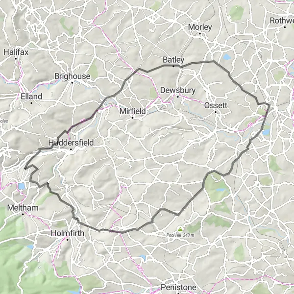
Map
This 68-kilometer road route combines picturesque countryside with charming villages. With an ascent of 1057 meters, it is suitable for well-trained amateurs. Explore the historic Linthwaite and enjoy the picturesque landscapes of Durkar.
road
68 km
1057 m
Tough
Route profile
Highlights on the route
0 km
0 km
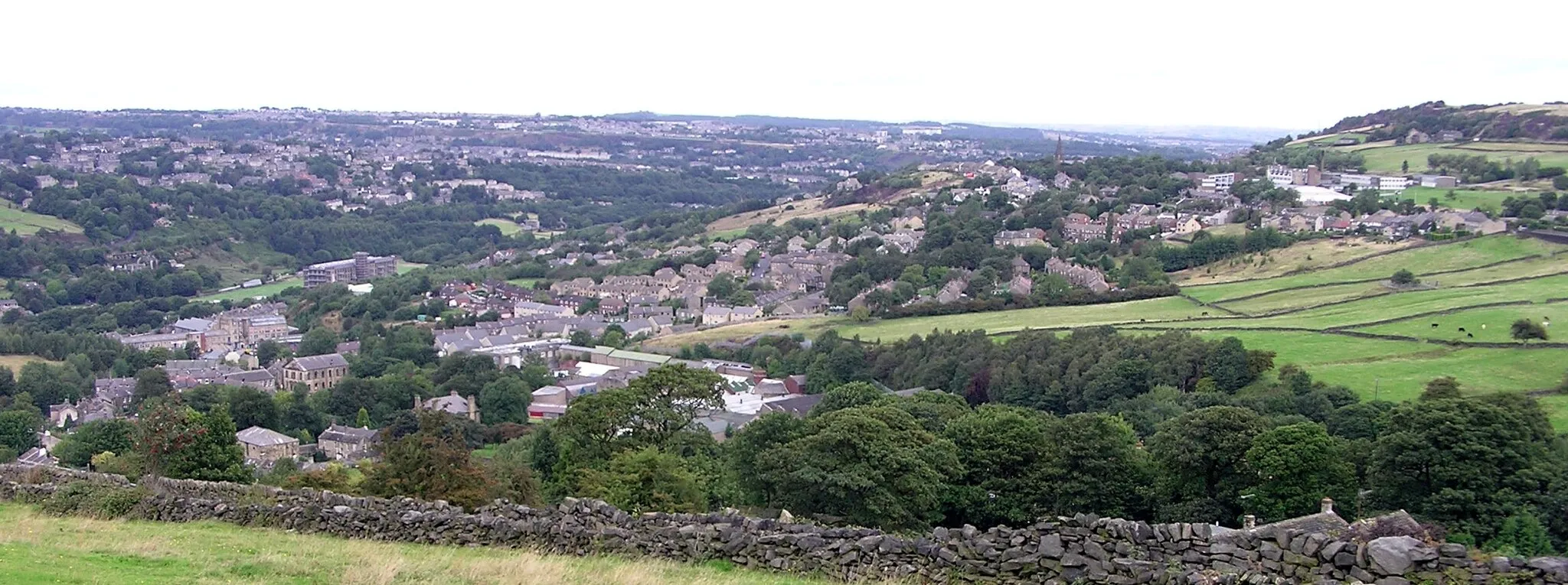
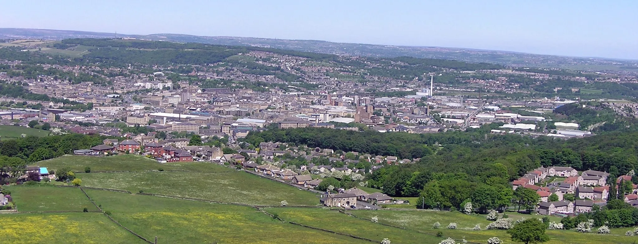
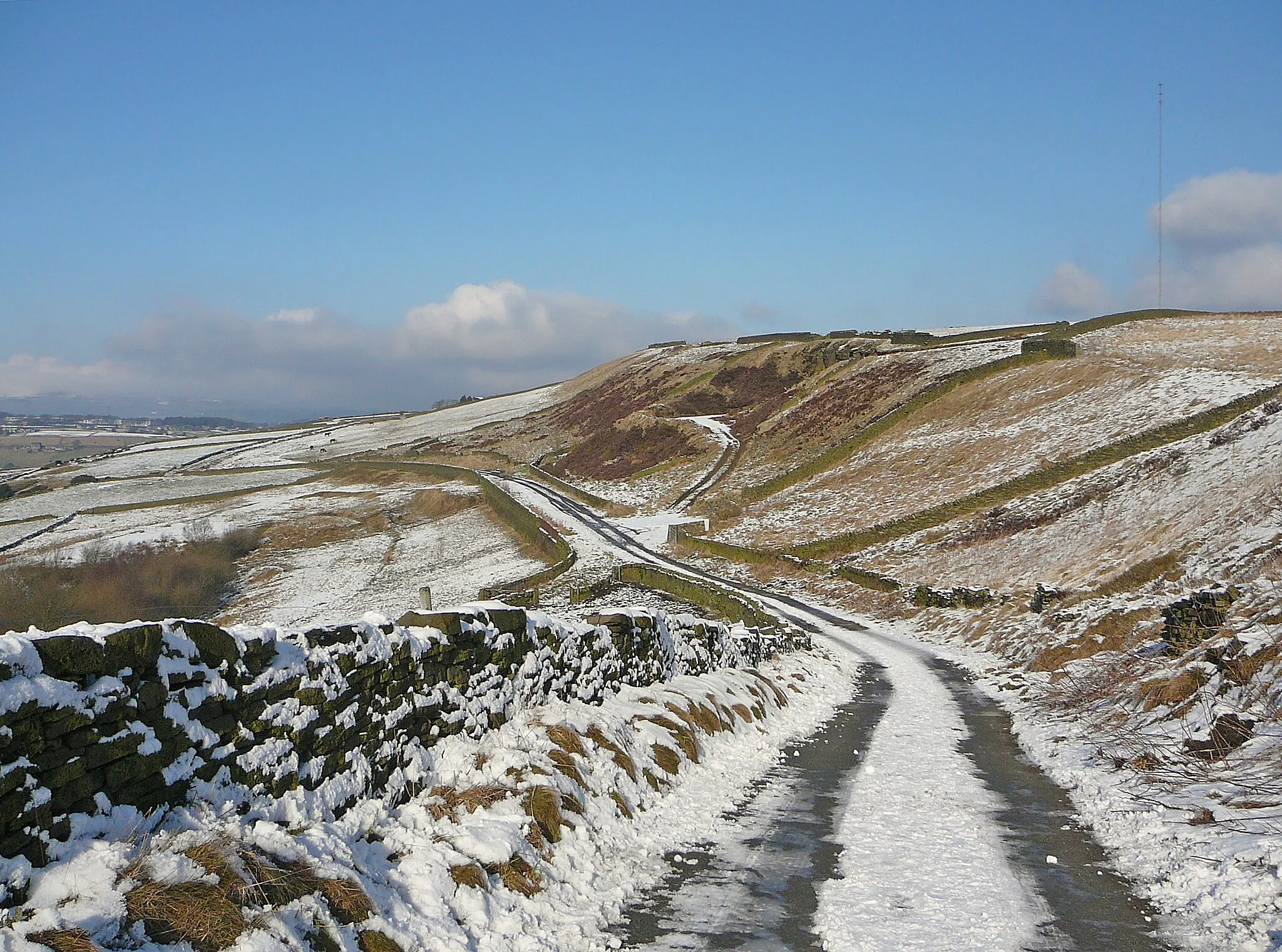
Start: Linthwaite Village centerBlackmoorfoot: Challenging climbs and breathtaking views await cyclists in Blackmoorfoot.
Blackmoorfoot, located in West Yorkshire, United Kingdom, offers a diverse and challenging cycling experience for road and gravel cyclists. Nestled in the beautiful Pennines, Blackmoorfoot boasts steep climbs, winding roads, and stunning panoramic views. One of the notable climbs in the area is Holme Moss, a legendary climb that has been featured in professional cycling races. The region also offers a mix of off-road trails and scenic routes through picturesque Yorkshire villages. With its challenging terrain and beautiful landscapes, Blackmoorfoot is a top destination for cyclists seeking an adventure.0 km
0 km
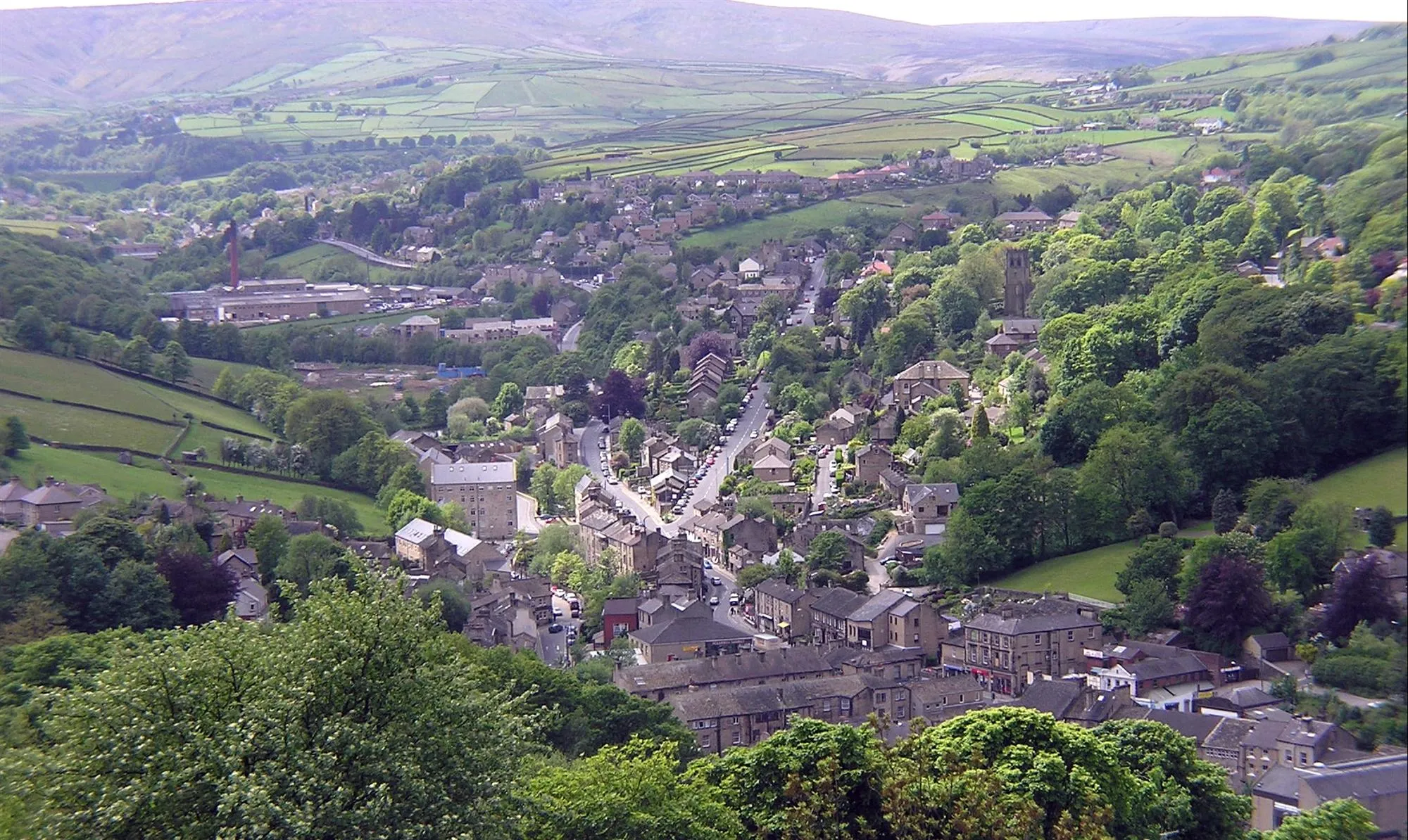
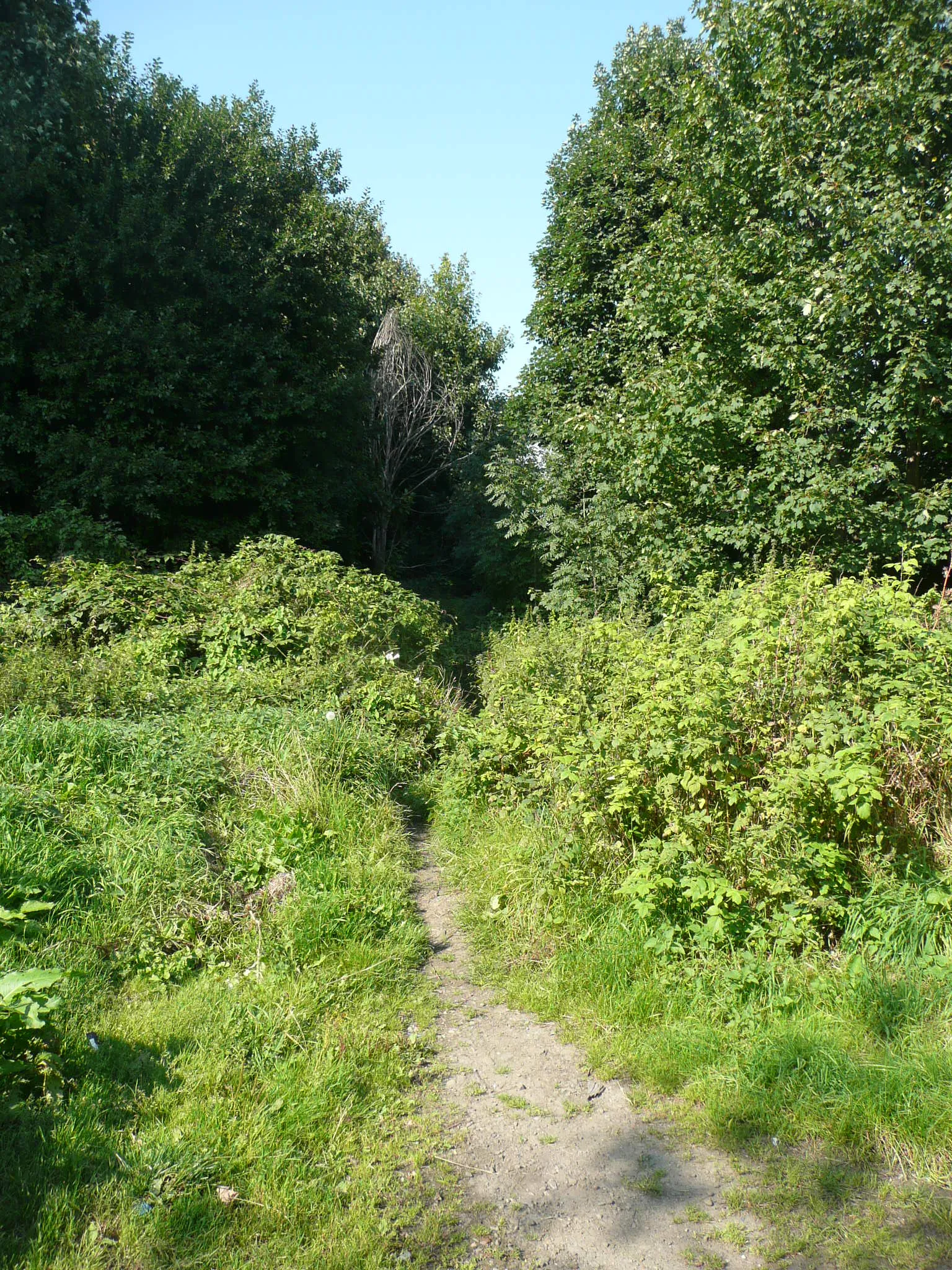
LinthwaiteVillageLinthwaite village is a historic area known for its charming architecture and quaint pubs.
2 km
2 km
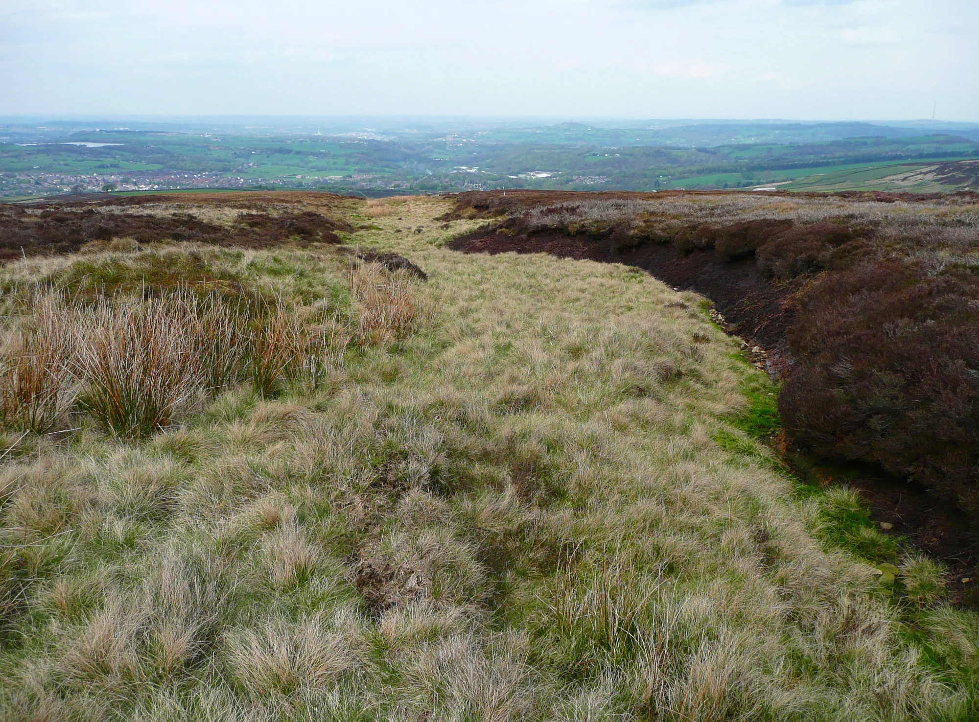
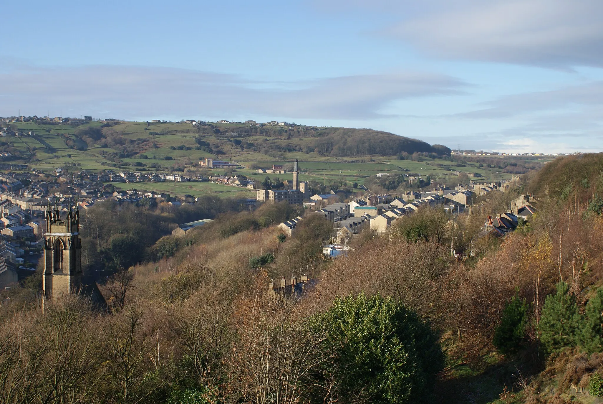
Longwood TowerViewpointLongwood Tower, a Neo-Gothic mansion, in Huddersfield deserves a stop to appreciate its stunning architecture.
34 km
34 km
DurkarVillageDurkar is a picturesque village known for its scenic beauty, ancient stone bridges, and local history.
39 km
39 km
West BrettonVillageWest Bretton offers charming countryside views and is home to the renowned Yorkshire Sculpture Park.
49 km
49 km
Lower CumberworthVillageLower Cumberworth is a quaint village with picturesque surroundings and traditional pubs.
63 km
63 km
NethertonVillageNetherton is a small village known for its charming cottages and tranquil atmosphere.
65 km
65 km
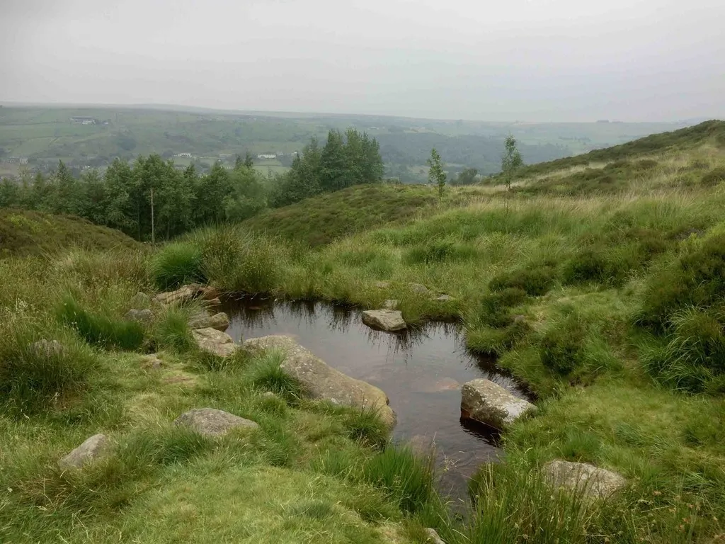
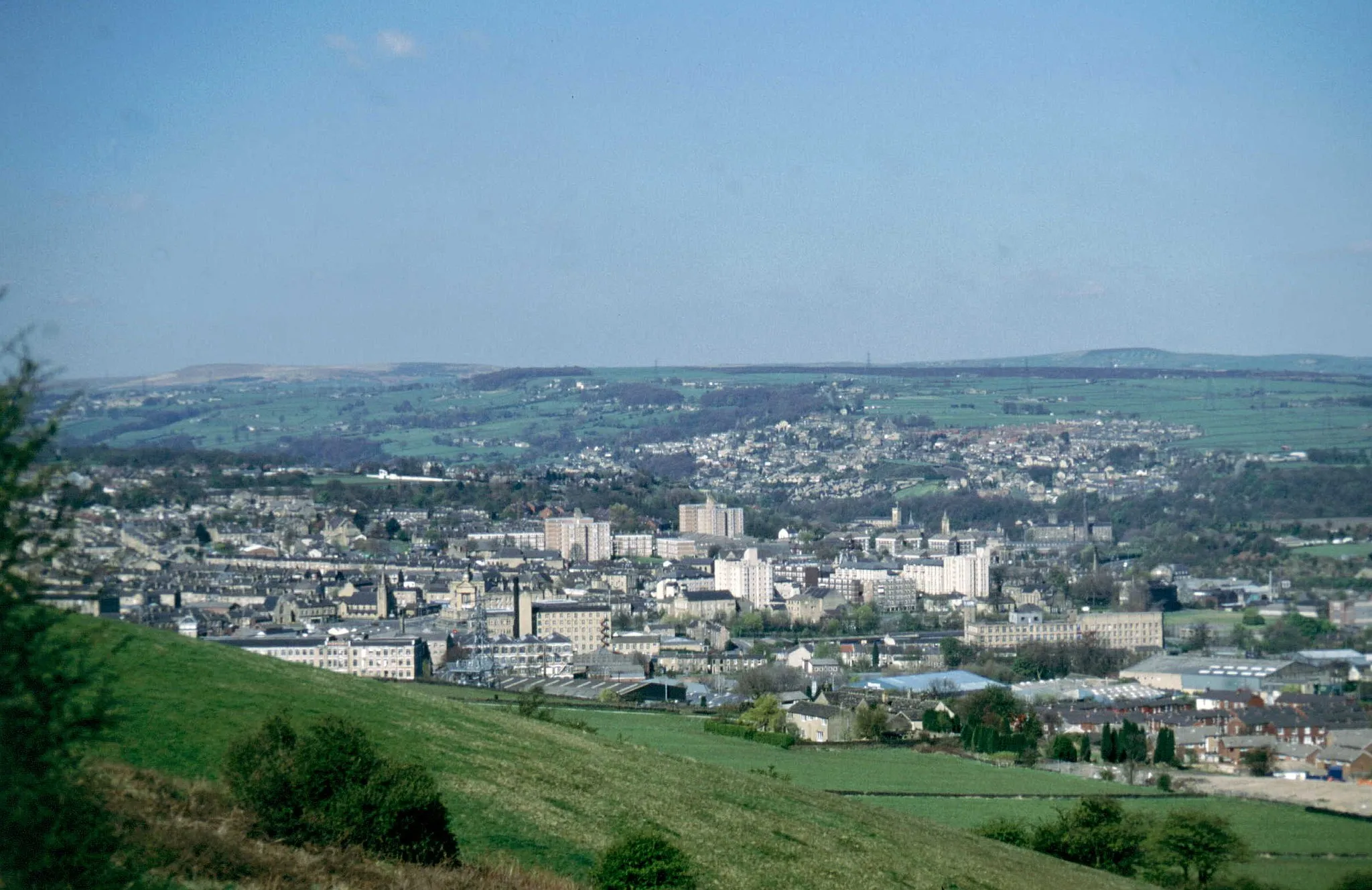
Huddersfield ObservatoryViewpointHuddersfield Observatory offers panoramic views over the town and surrounding countryside. A must-visit spot for nature lovers.
68 km
68 km
Finish: Linthwaite Village centerBlackmoorfoot: Challenging climbs and breathtaking views await cyclists in Blackmoorfoot.
Cycling routes from Blackmoorfoot:
Blackmoorfoot Gravel Loop Blackmoorfoot to Huddersfield Observatory Gravel Route Linthwaite Loop Meltham and Peak Naze Adventure Dewsbury and Lundwood Circular Around Linthwaite and Bradford Blackmoorfoot to Meltham Road Route Blackmoorfoot to Huddersfield Observatory Extended Gravel Route Blackmoorfoot to Boulderclough Road Route Blackmoorfoot to Netherton Gravel Route
Cycling routes nearby: