Road Route Straß im Straßertale - Kuhberg
Cyklistická trasa pro road začínající v Rehberg
Panoramatická silniční trasa plná zajímavých zastávek
Mapa
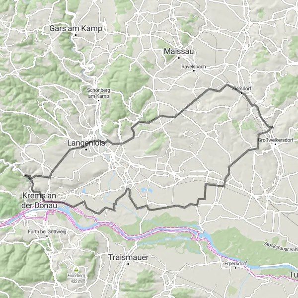
Tato 86 km dlouhá silniční trasa vám nabídne panoramatické výhledy a projdete kolem městečka Straß im Straßertale a historického centra v Krems an der Donau. S převýšením 628 m je to skvělá trasa pro silniční cyklisty.
road
86 km
628 m
Náročné
Profil trasy
Zajímavosti na trase
0 km
0 km
Start: Imbach Village centerRehberg: Hidden gem for gravel cyclists in Rehberg.
Rehberg is a hidden gem for gravel cyclists, with a network of scenic trails leading through forests and meadows. The surrounding area boasts stunning views and opportunities for challenging rides, making it a great destination for outdoor enthusiasts.15 km
15 km
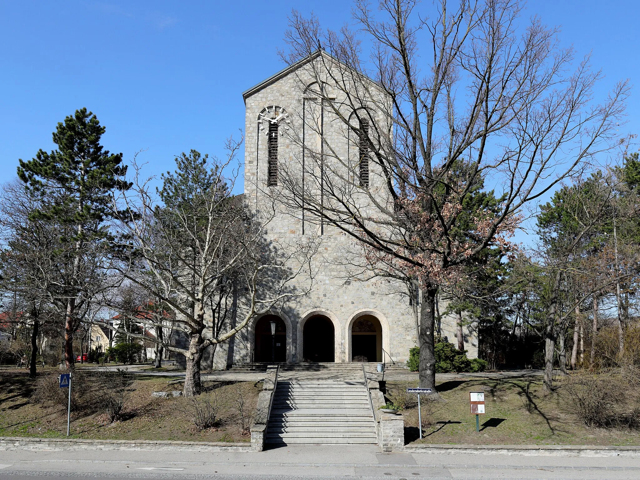
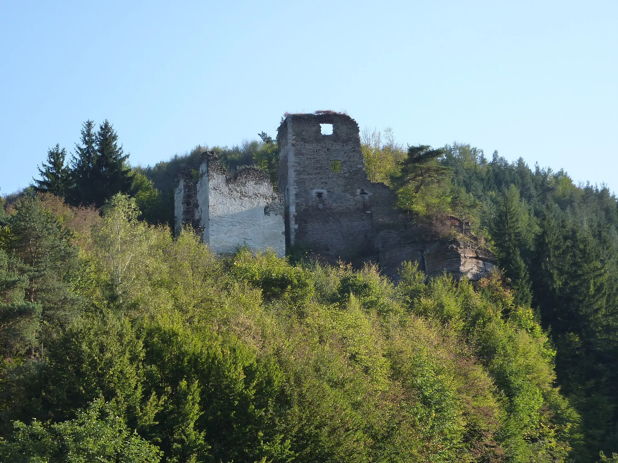
Straß im StraßertaleVesniceStraß im Straßertale je malebné městečko bohaté na historii.
33 km
33 km
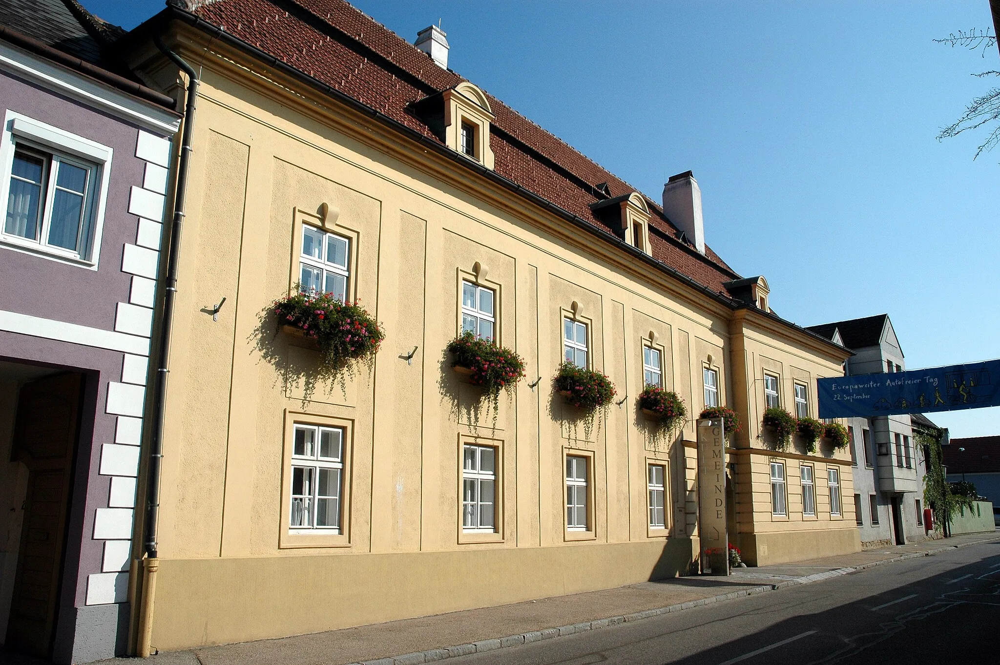
ZiersdorfVesniceZiersdorf je krásné místo s mnoha zelenými plochami.
37 km
37 km
Parnass239 mVrcholParnass je oblast s bohatou divokou faunou a flórou.
50 km
50 km
Bromberg227 mVrcholBromberg je malebná vesnice s historickými budovami.
50 km
50 km
Kirchberg am WagramVesniceKirchberg am Wagram je ideální místo pro ochutnávku vína.
63 km
63 km
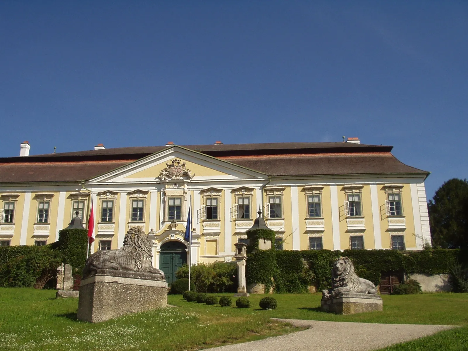
GrafenwörthVesniceGrafenwörth je malebné město s historickými památkami.
81 km
81 km
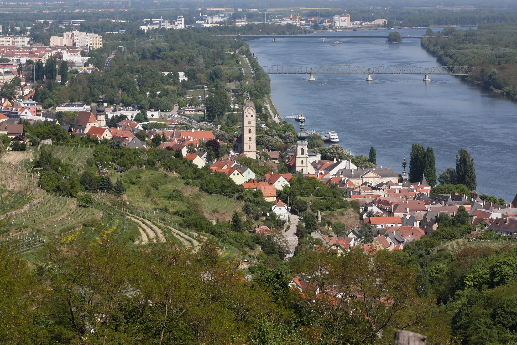
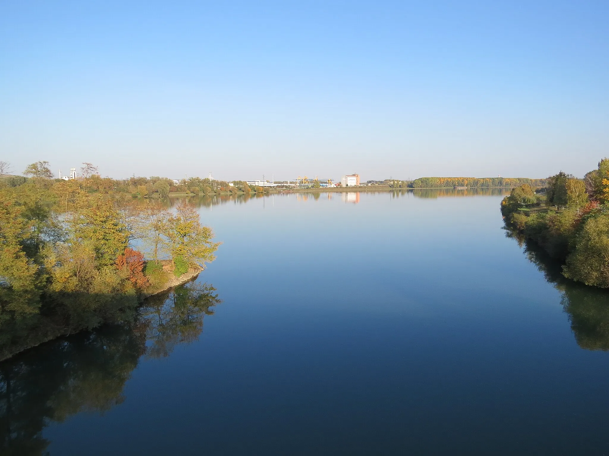
Krems an der DonauMěstoKrems an der Donau je historické město s bohatou minulostí.
83 km
83 km
Kuhberg400 mVrcholKuhberg nabízí krásné výhledy na okolní krajinu.
86 km
86 km
Cíl: Imbach Village centerRehberg: Hidden gem for gravel cyclists in Rehberg.
Cyklistické trasy z Rehberg:
Road Route Straß im Straßertale - Kuhberg Gravel Route Langenlois - Gneixendorf Road Route Sandl - Hiesbergwarte Zatáčkovitá cyklistická trasa kolem Rehbergu Poklidná cyklistická trasa kolem Rehbergu Adrenalinová cyklotrasa kolem Rehbergu Road Route Langenlois - Donauwarte Přírodní cyklistická trasa kolem Rehbergu Gravel Route Ruine Rehberg - Burgruine Senftenberg Okruhová cyklistická trasa od Rehbergu
Cyklotrasy v okolí: