Exploration of Gallneukirchen surroundings
Cyklistická trasa pro gravel začínající v Gallneukirchen
Discover the hidden gems on this 71km gravel route starting from Gallneukirchen
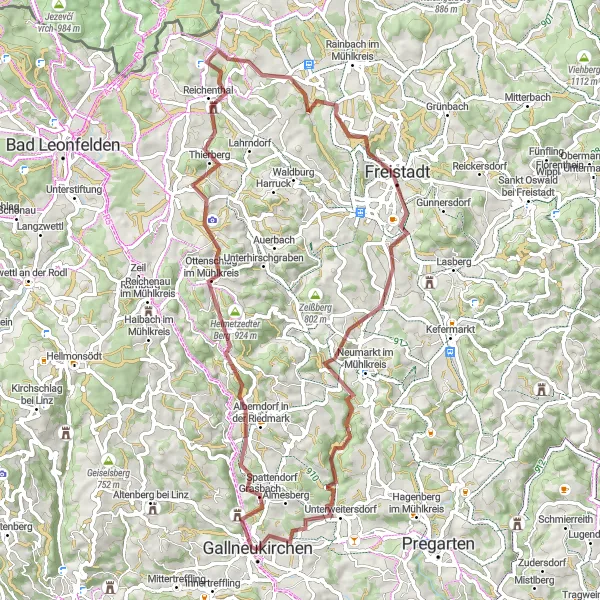
Mapa
This 71km gravel route offers a challenging ascent of 1409m, showcasing the scenic beauty of Roadlberg and Ottenschlag im Mühlkreis. Pass through Reichenthal and Gruberbühel to reach Walchshof with its idyllic countryside views. The journey ends in the charming town of Gallneukirchen.
gravel
71 km
1409 m
Divoký
Profil trasy
Zajímavosti na trase
0 km
0 km
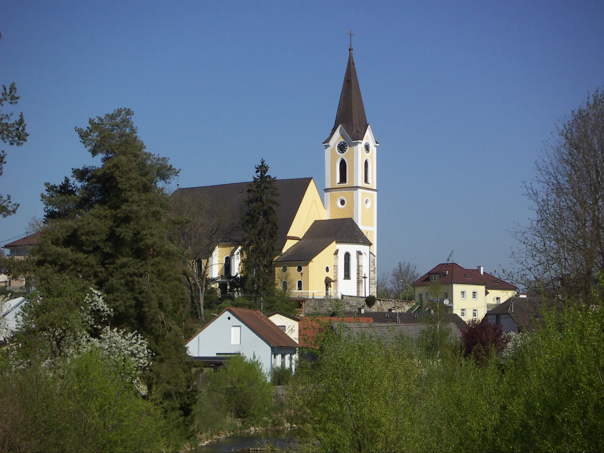
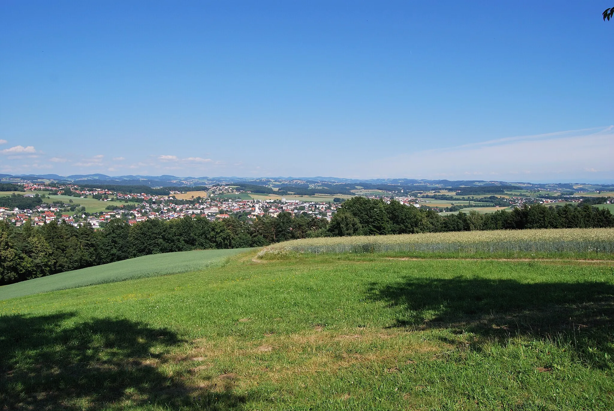
Start: Gallneukirchen City centerGallneukirchen: Klidné cyklistické cesty vedoucí okolo zelených luk a lesů v Gallneukirchenu.
Gallneukirchen je malebné městečko v rakouském regionu Oberösterreich. Pro cyklisty nabízí klidné cesty vedoucí okolo zelených luk a lesů. Nedaleko se nachází oblíbená cyklistická trasa kolem jezera, která je vhodná i pro rodinné výlety. Kromě cyklistiky si zde můžete také vychutnat místní gastronomii.11 km
11 km
Roadlberg778 mVrcholRoadlberg features winding paths through lush forests and meadows.
16 km
16 km
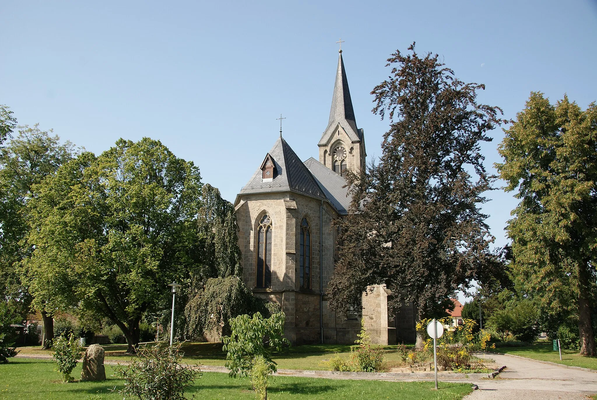
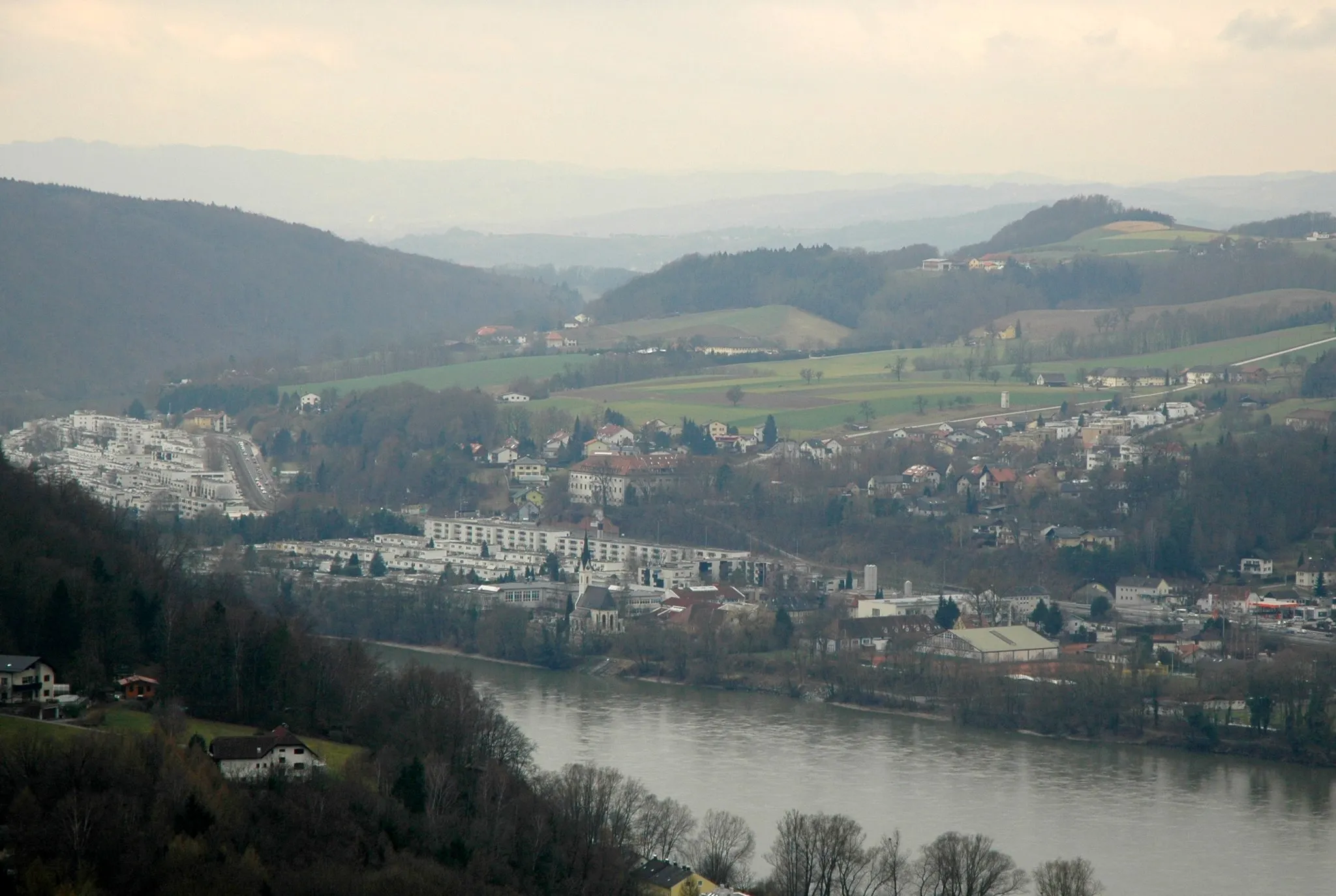
Ottenschlag im MühlkreisVesniceOttenschlag im Mühlkreis is a quaint village with historic buildings and cozy cafes.
27 km
27 km
ReichenthalVesniceReichenthal is a picturesque town with traditional architecture and friendly locals.
38 km
38 km
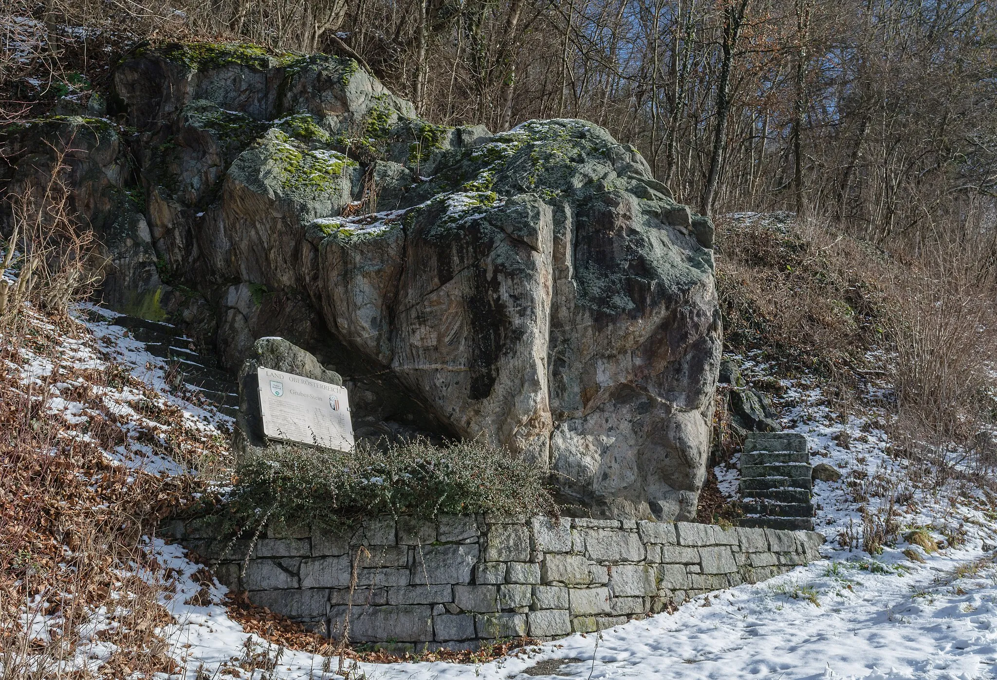
Gruberbühel701 mVrcholGruberbühel offers panoramic views of the surrounding countryside and forests.
47 km
47 km
WalchshofVesniceWalchshof is known for its peaceful ambiance and scenic hiking trails.
61 km
61 km
Kogl580 mVrcholKogl is a hidden gem with beautiful natural landscapes and tranquil atmosphere.
71 km
71 km
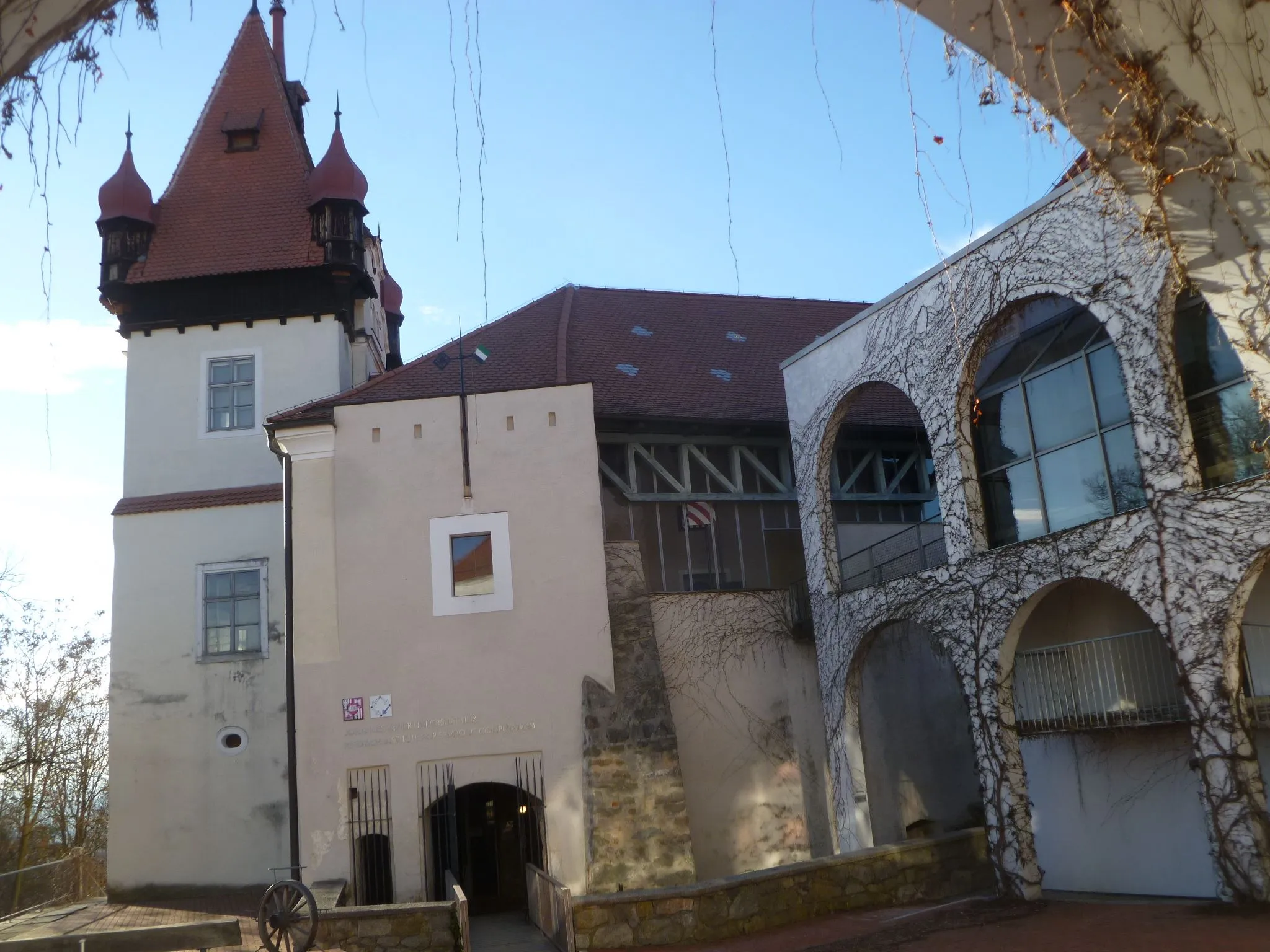
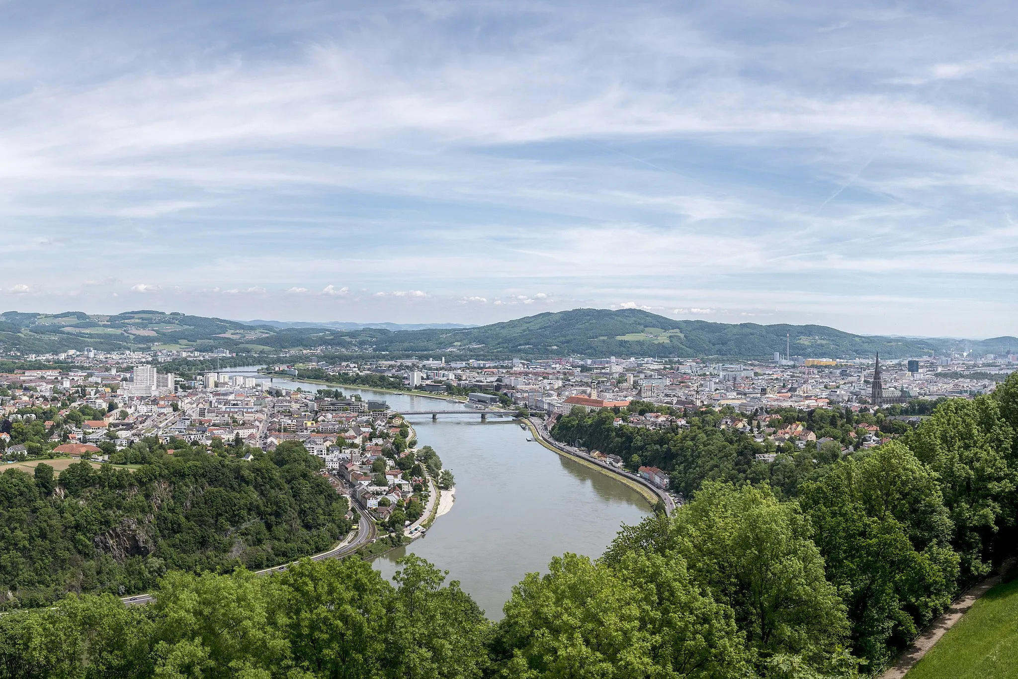
GallneukirchenMěstoGallneukirchen is a charming town with historic buildings and traditional Austrian cuisine.
71 km
71 km
Cíl: Gallneukirchen City centerGallneukirchen: Klidné cyklistické cesty vedoucí okolo zelených luk a lesů v Gallneukirchenu.
Cyklistické trasy z Gallneukirchen:
Road trip to Weinberg Castle Lehká cyklotrasa s památky v okolí Gallneukirchenu Okružní cesta kolem Gallneukirchenu Cyklistická trasa do kopce z Gallneukirchenu Pozemní cyklistická trasa kolem Gallneukirchenu Gravel tour around Gallneukirchen Dlouhá cesta přes okolí Grand Road Cycling Tour to Historic Landmarks Road Cycling Adventure in the Mountains near Gallneukirchen Exploration of Gallneukirchen surroundings
Cyklotrasy v okolí: