Okružní cesta kolem Gallneukirchenu
Cyklistická trasa pro road začínající v Gallneukirchen
Procestujte krajinu plnou malebných vesniček
Mapa
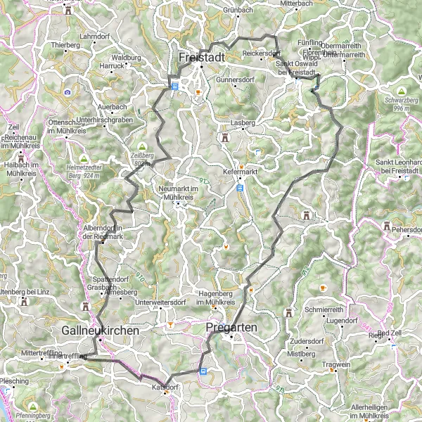
Tento okruh nabízí 80 km cyklistického dobrodružství s 1590 m převýšení. Projedete kolem městečka Freistadt až do Wartberg ob der Aist, projíždíte kolem úchvatného Höllbergu a stoupáte až do Trölsbergu.
road
80 km
1590 m
Náročné
Profil trasy
Zajímavosti na trase
0 km
0 km
Start: Holzwiesen Village centerGallneukirchen: Klidné cyklistické cesty vedoucí okolo zelených luk a lesů v Gallneukirchenu.
Gallneukirchen je malebné městečko v rakouském regionu Oberösterreich. Pro cyklisty nabízí klidné cesty vedoucí okolo zelených luk a lesů. Nedaleko se nachází oblíbená cyklistická trasa kolem jezera, která je vhodná i pro rodinné výlety. Kromě cyklistiky si zde můžete také vychutnat místní gastronomii.3 km
3 km
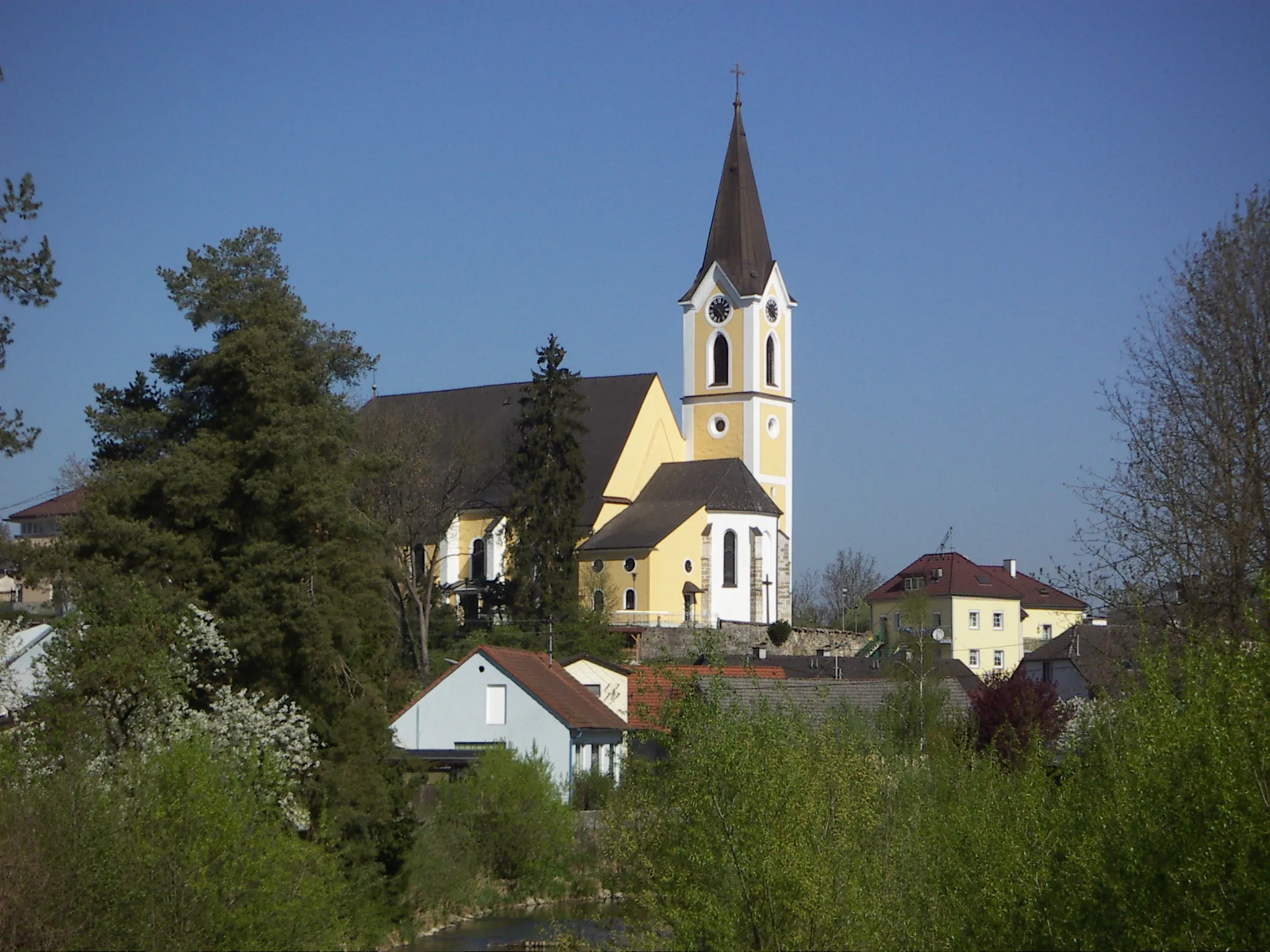
GallneukirchenMěstoPo cestě uvidíte krásy Gallneukirchenu.
13 km
13 km
Ura Stoa760 mVrcholStojí za to zastavit a podívat se na historickou stavbu Ura Stoa.
26 km
26 km
Trölsberg732 mVrcholTrölsberg vám nabídne krásné výhledy na okolní krajinu.
31 km
31 km
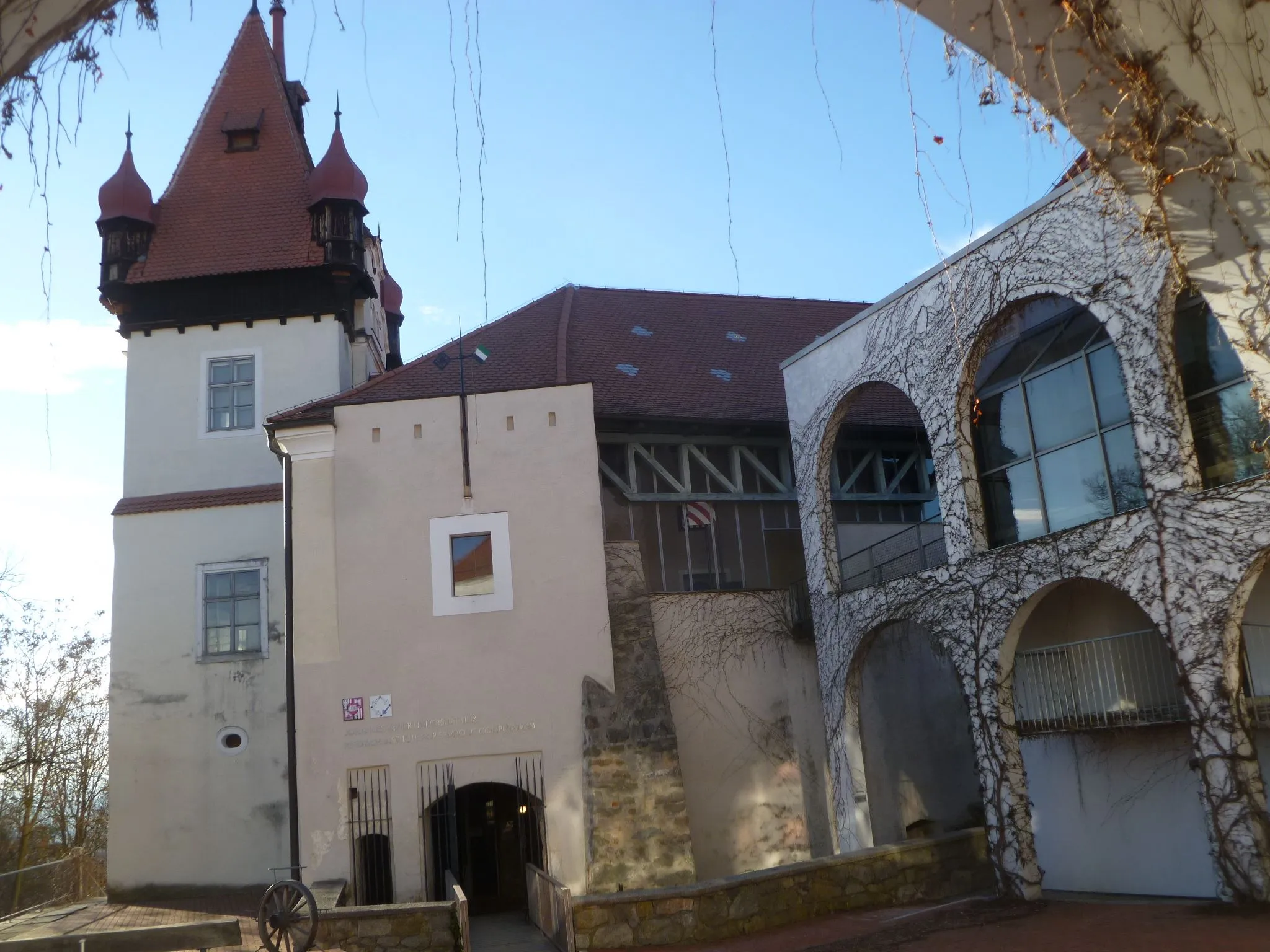
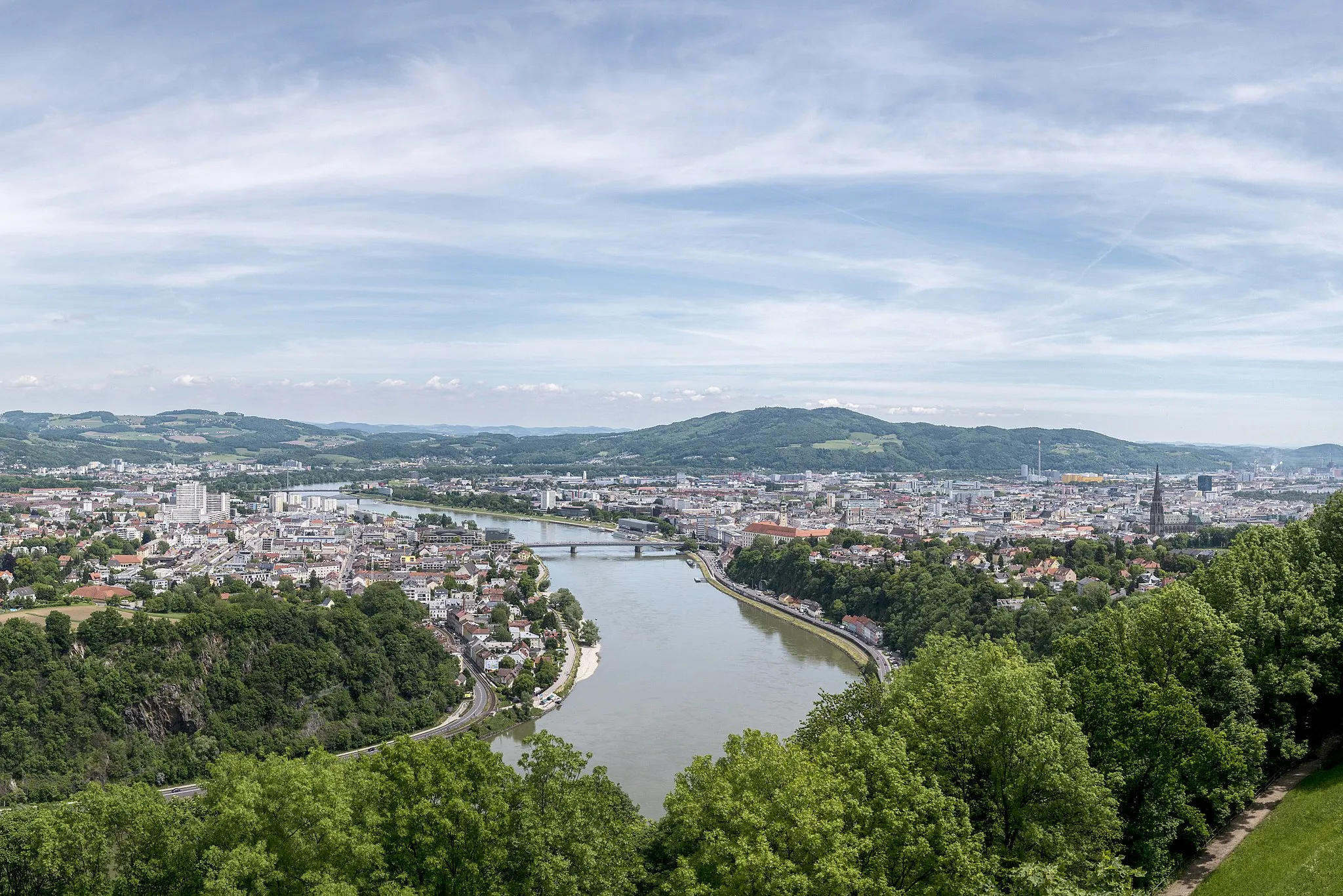
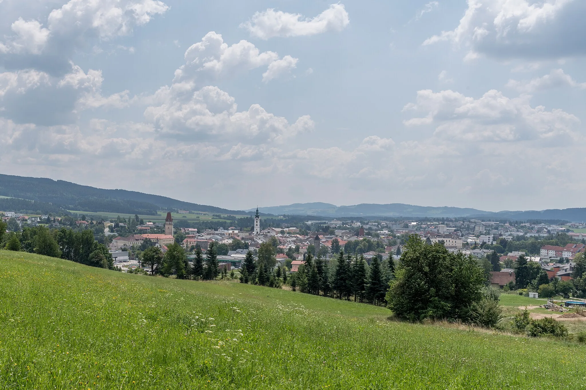
FreistadtMěstoFreistadt je malebné městečko s bohatou historií.
42 km
42 km
Sankt Oswald bei FreistadtVesniceSankt Oswald bei Freistadt vám přinese půvabné starobylé uličky.
53 km
53 km
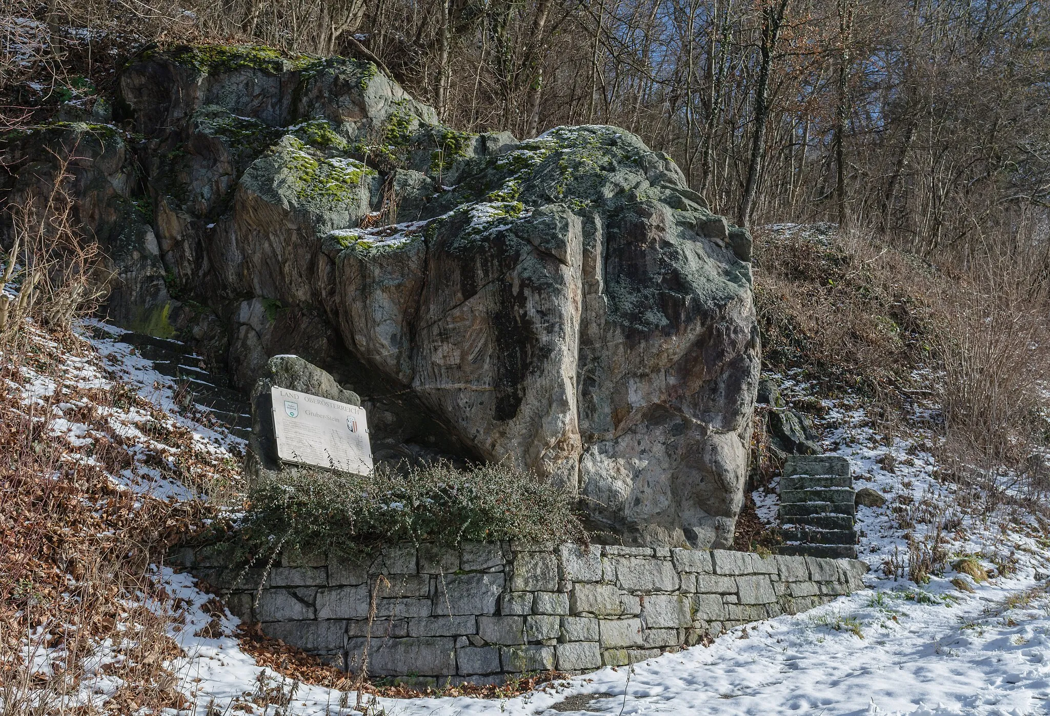
Höllberg784 mVrcholHöllberg je ideálním místem pro odpočinek a fotografování.
68 km
68 km
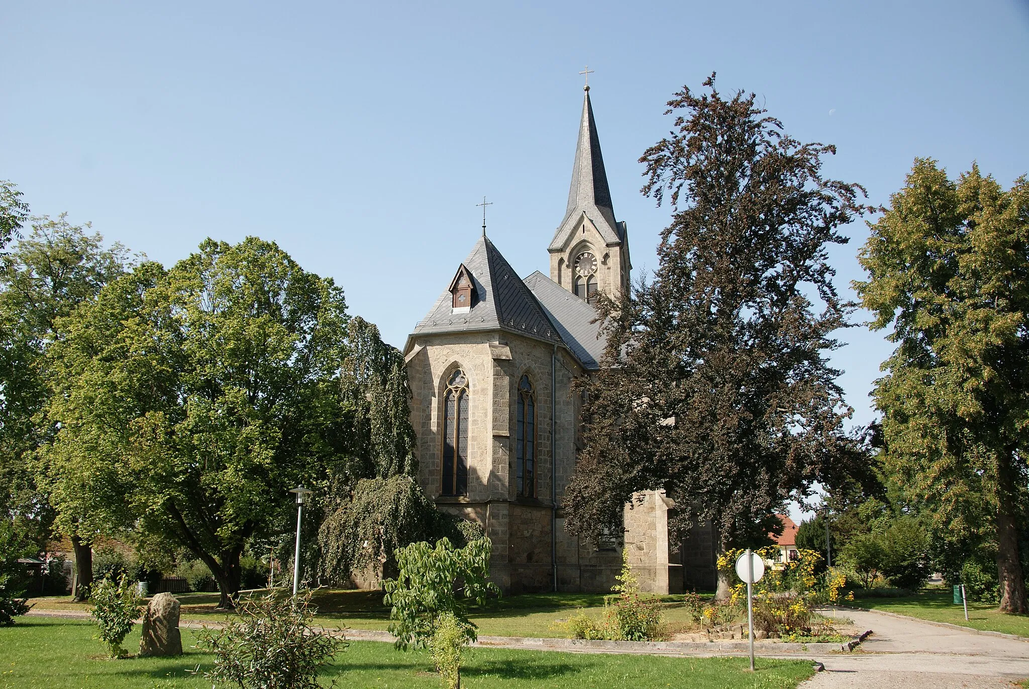
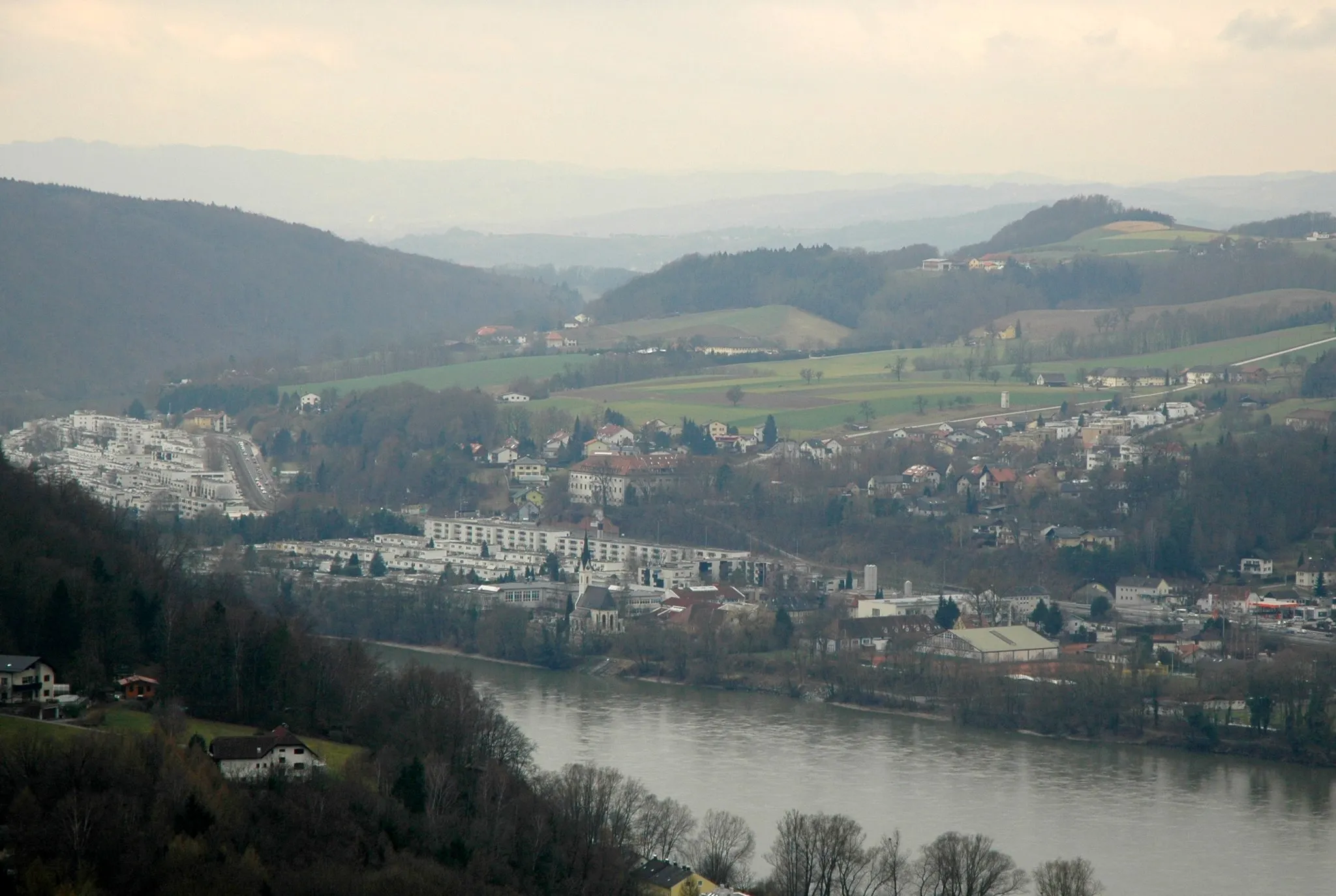
Wartberg ob der AistVesniceWartberg ob der Aist je malebná vesnice obklopená přírodou.
80 km
80 km
Cíl: Holzwiesen Village centerGallneukirchen: Klidné cyklistické cesty vedoucí okolo zelených luk a lesů v Gallneukirchenu.
Cyklistické trasy z Gallneukirchen:
Road trip to Weinberg Castle Lehká cyklotrasa s památky v okolí Gallneukirchenu Okružní cesta kolem Gallneukirchenu Cyklistická trasa do kopce z Gallneukirchenu Pozemní cyklistická trasa kolem Gallneukirchenu Gravel tour around Gallneukirchen Dlouhá cesta přes okolí Grand Road Cycling Tour to Historic Landmarks Road Cycling Adventure in the Mountains near Gallneukirchen Exploration of Gallneukirchen surroundings
Cyklotrasy v okolí: