Abenteuerliche Tour durch die Natur
Eine gravel-Radroute, die von Saint-Agreve aus startet.
Eine herausfordernde Gravel-Tour durch die malerische Landschaft der Rhône-Alpes.
Karte

Diese 110 km lange Strecke bietet eine spannende Fahrt vorbei an Saint-Jeures, Montbarnier, Saint-Maurice-de-Lignon, Pont de Confolent, Sainte-Sigolène und Montfaucon-en-Velay. Erleben Sie die Vielfalt der Region und atmen Sie die frische Luft der Berge.
gravel
110 km
2491 m
Schwierig
Streckenprofil
Höhepunkte auf der Strecke
0 km
0 km
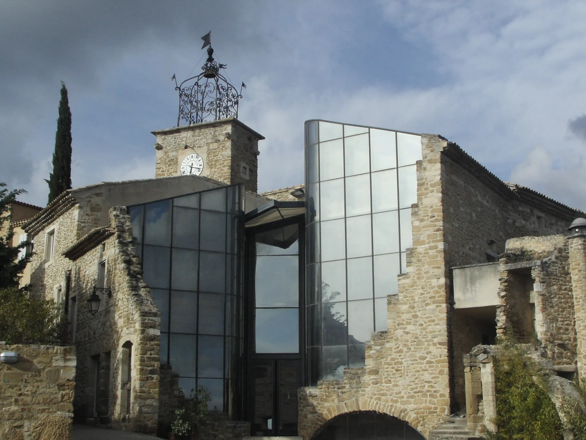
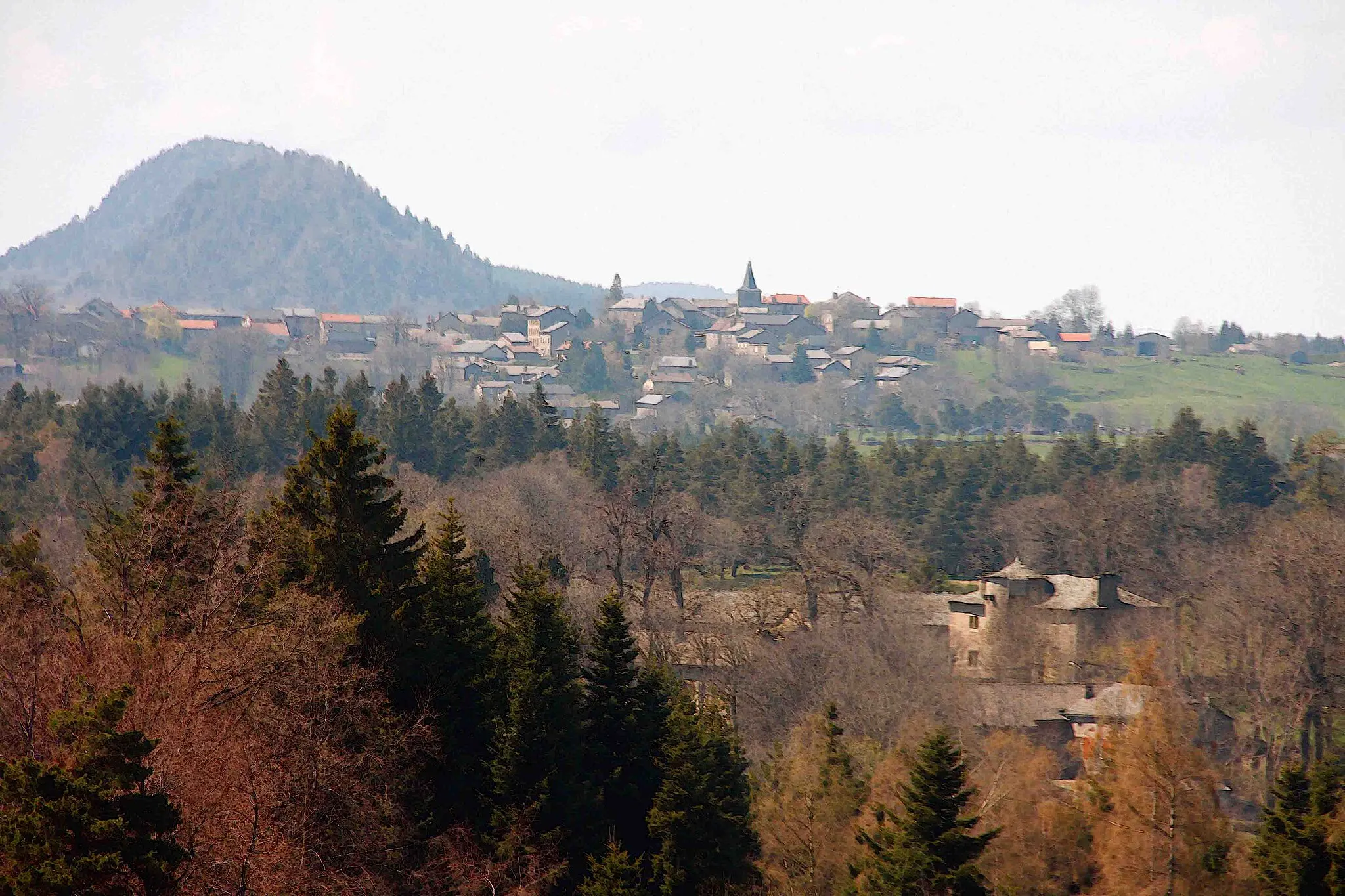
Start: Saint-Agrève Village centerSaint-Agrève: Erobern Sie die Ardèche auf dem Fahrrad in Saint-Agrève.
Saint-Agrève in Rhône-Alpes bietet Radfahrern abwechslungsreiche Routen durch die Ardèche-Berge. Die Gegend ist für ihre steilen Anstiege und anspruchsvollen Abfahrten bekannt. Ideal für erfahrene Radfahrer, die eine Herausforderung suchen.24 km
24 km
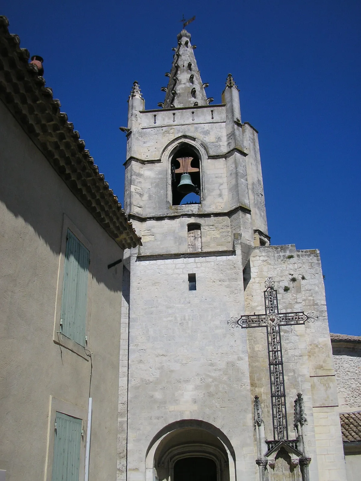
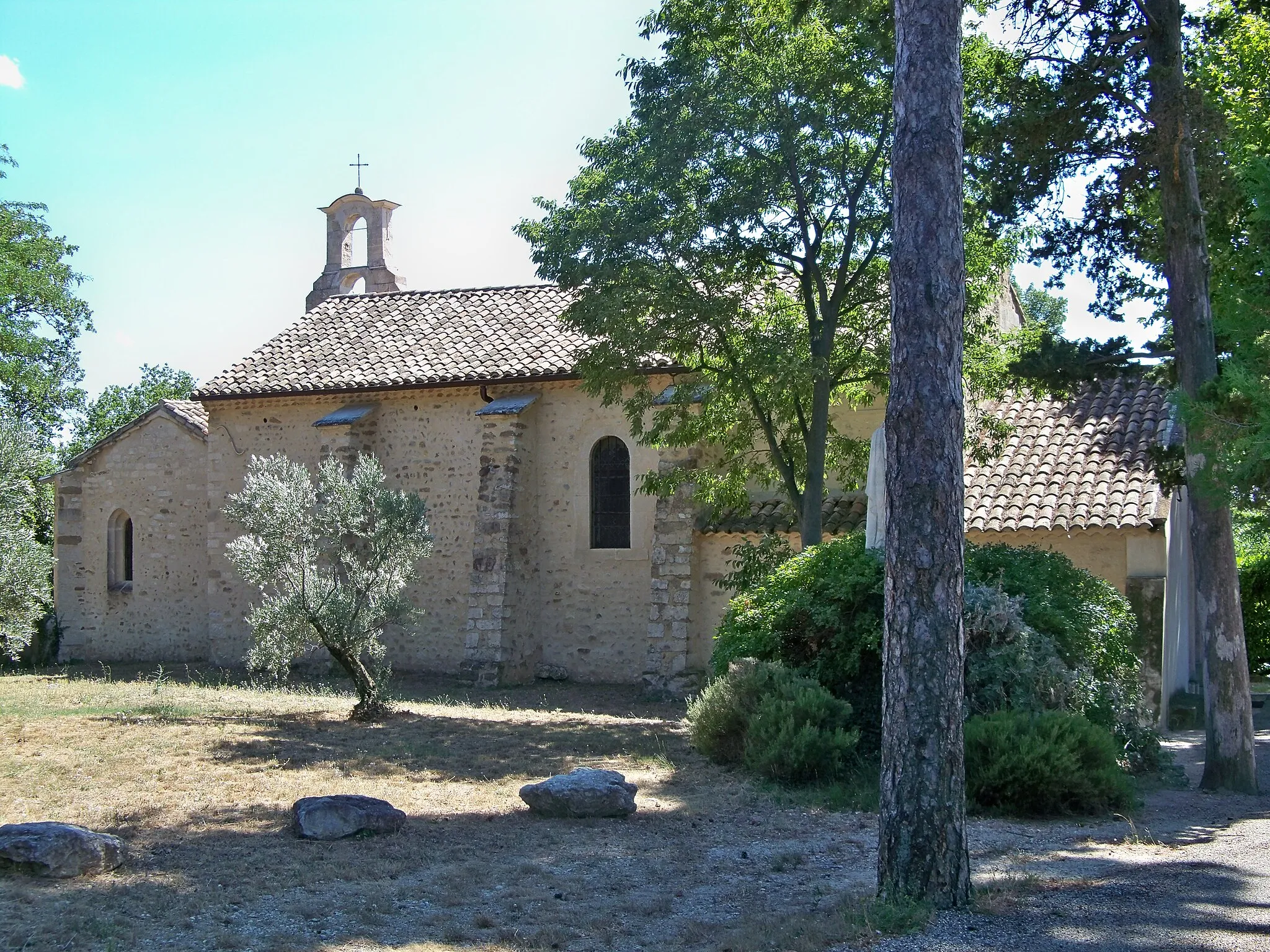
Saint-JeuresDorfEntdecken Sie die Schönheit von Saint-Jeures.
34 km
34 km
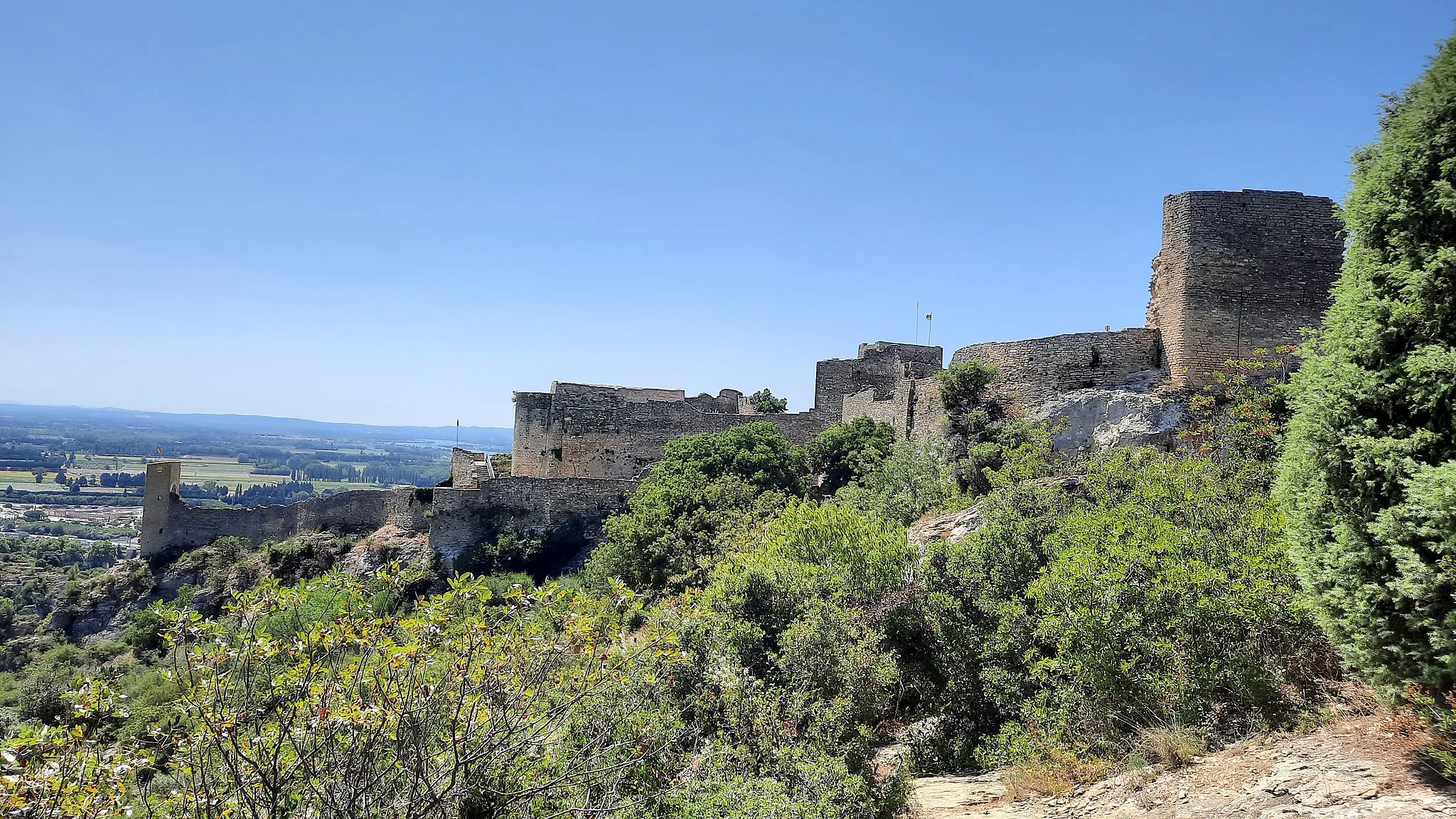
Montbarnier947 mGipfelErklimmen Sie den Montbarnier und genießen Sie die Aussicht.
45 km
45 km
Saint-Maurice-de-LignonDorfBesuchen Sie das malerische Saint-Maurice-de-Lignon.
57 km
57 km
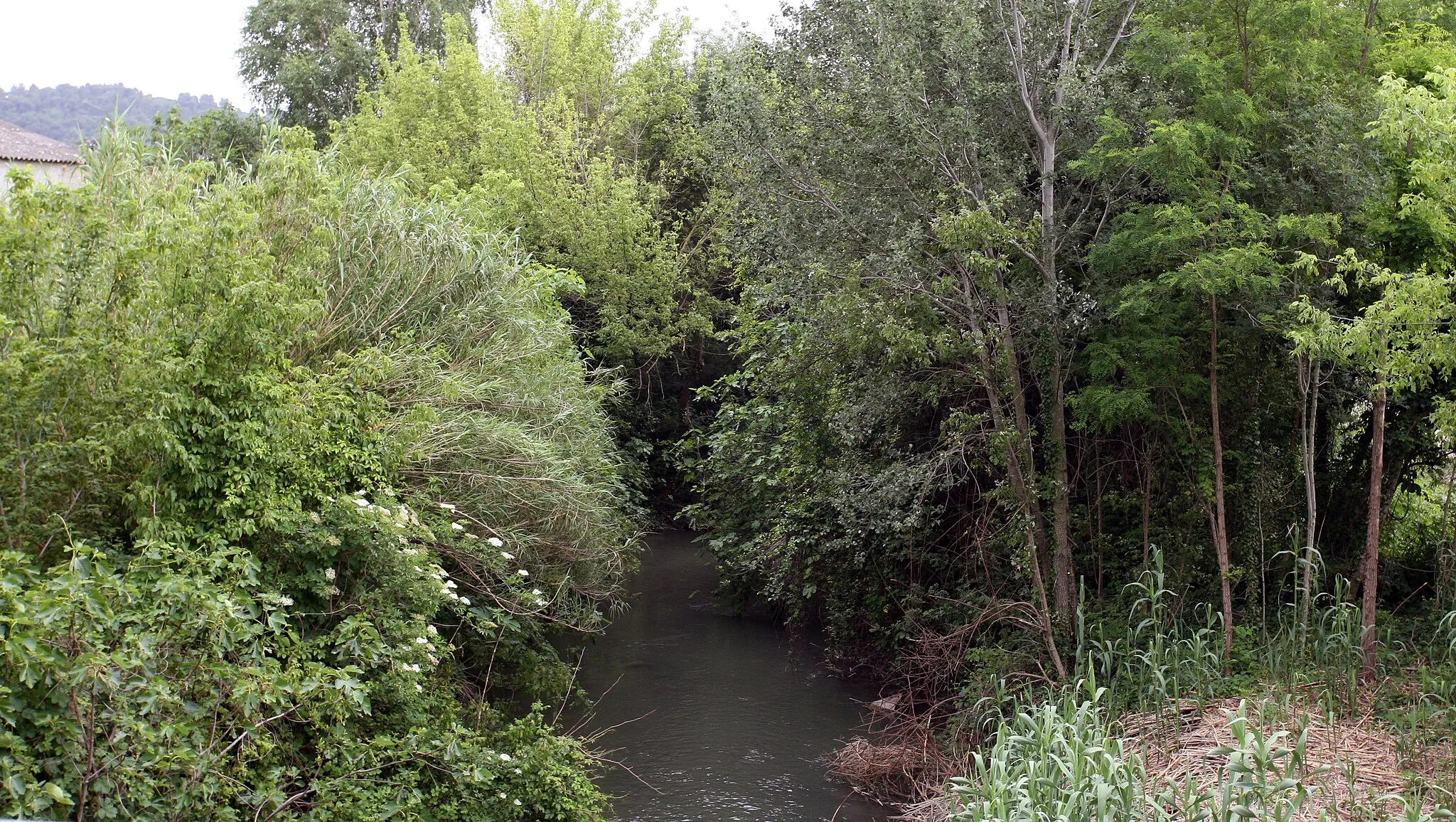
Pont de ConfolentAttraktionÜberqueren Sie den beeindruckenden Pont de Confolent.
69 km
69 km
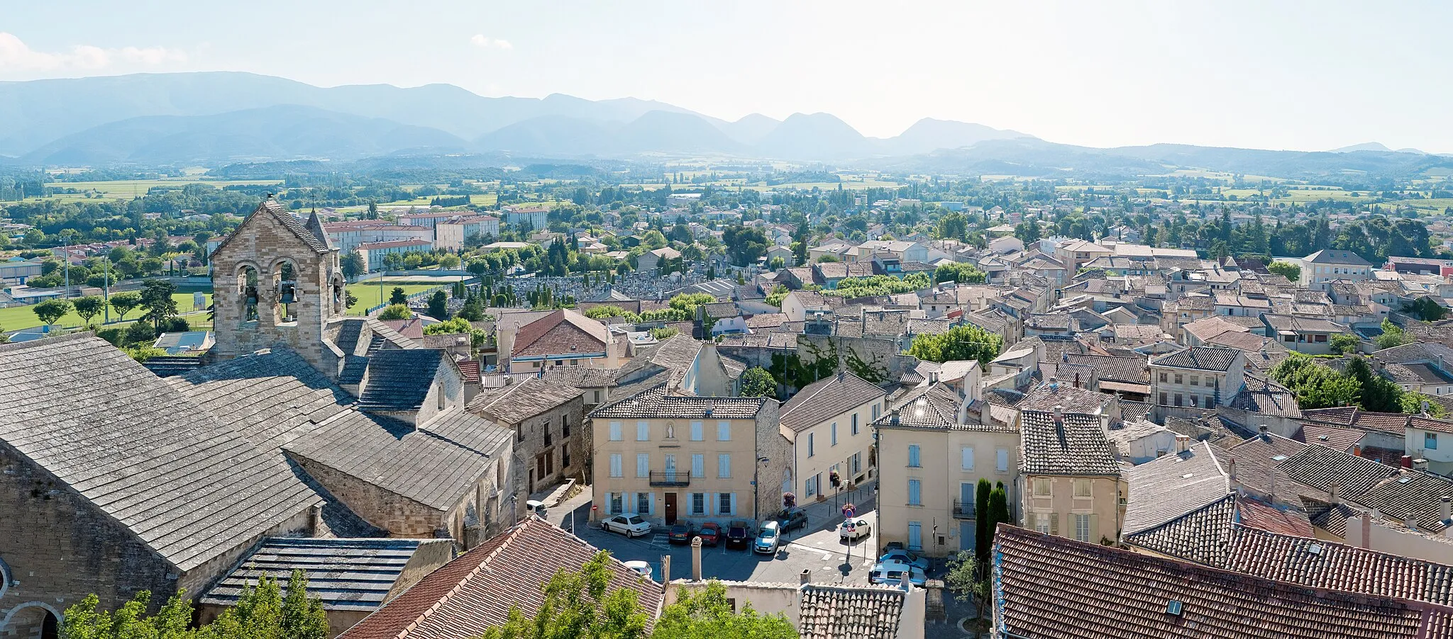
Sainte-SigolèneDorfErkunden Sie das charmante Sainte-Sigolène.
82 km
82 km
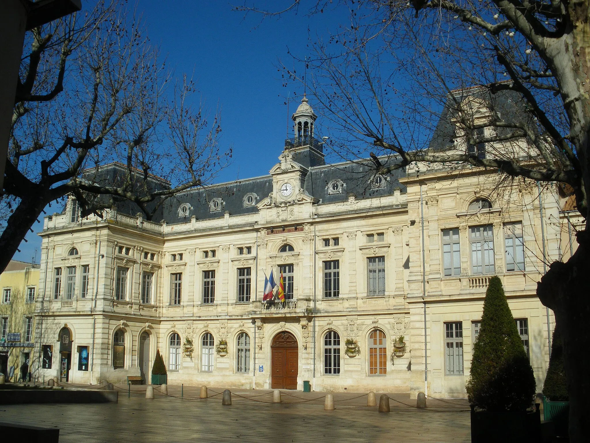
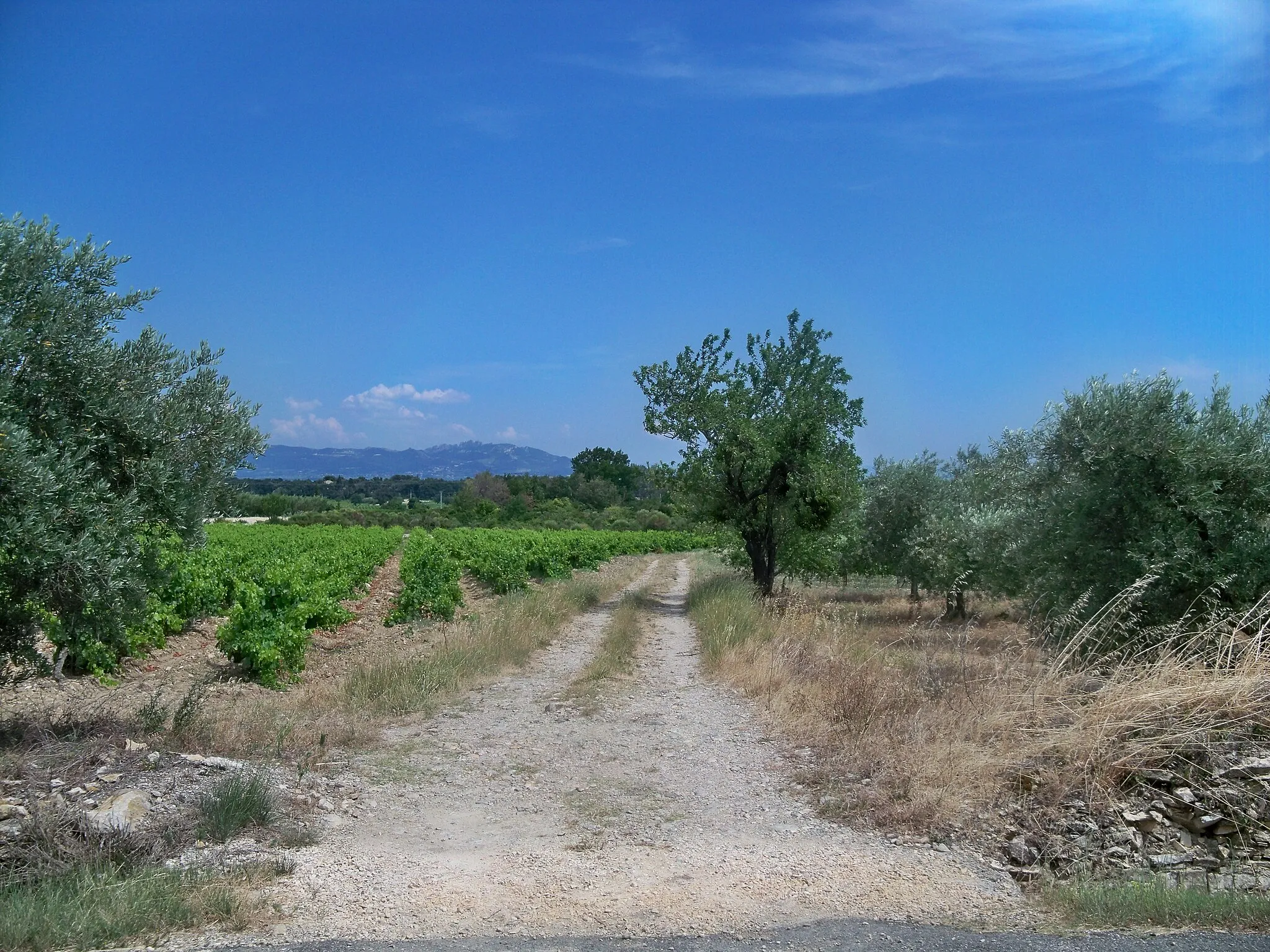
Montfaucon-en-VelayDorfGenießen Sie die Atmosphäre von Montfaucon-en-Velay.
110 km
110 km
Ziel: Saint-Agrève Village centerSaint-Agrève: Erobern Sie die Ardèche auf dem Fahrrad in Saint-Agrève.
Radwege von Saint-Agreve:
In der Nähe befinden sich Fahrradrouten: